
Canada · Mixed
Terra Nova National Park
National park of 39,990 hectares in Canada, established in 1957.
Overview
National park of 39,990 hectares in Canada, established in 1957.
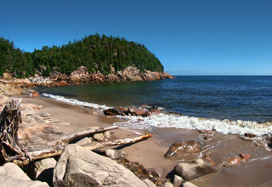
Terra Nova National Park is located in Canada (North America). It covers both land and sea. Established in 1957, it covers about 39,990 hectares. The site is managed by Parks Canada.
In our collections
Frequently asked questions
Where is Terra Nova National Park?
In Canada (North America). Representative point: 48.5306° N, 53.9281° W.
How large is Terra Nova National Park?
About 39,990 hectares (400 km²). It is the 34th largest of the 47 national parks in Canada covered by Parkavela. About 9,400 ha are at sea.
When was Terra Nova National Park established?
In 1957.
What habitats and landscapes does Terra Nova National Park include?
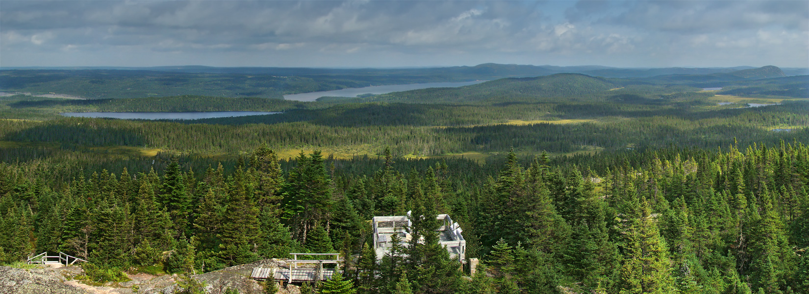
An area spanning land and sea, with forests and coasts.
When is the best time to visit Terra Nova National Park?
Best time to visit: from June to September, with average temperatures of 11 to 18 °C and moderate rainfall.
Is there snow in Terra Nova National Park?
Yes. According to NASA's MODIS satellites (2015–2025 average), snow covers most of the site from December to March, and until April on higher ground, with about 135 snow-covered days a year on average.
What is there to see in Terra Nova National Park?
1 lake or pond and 1 cave, including Long Waters and Three Holes (Wikidata).
What is the nearest airport to Terra Nova National Park?
Nearest airport: Gander (YQX), about 54 km away.
Where can I get visitor information on site?
Terra Nova National Park Information Center.
Which species can be seen in Terra Nova National Park?
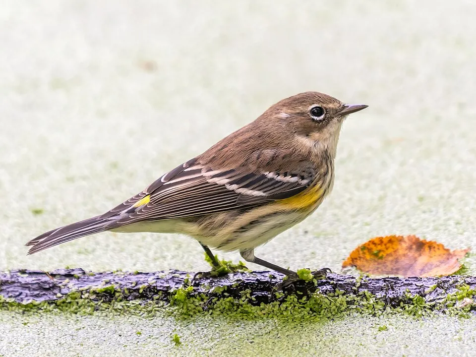
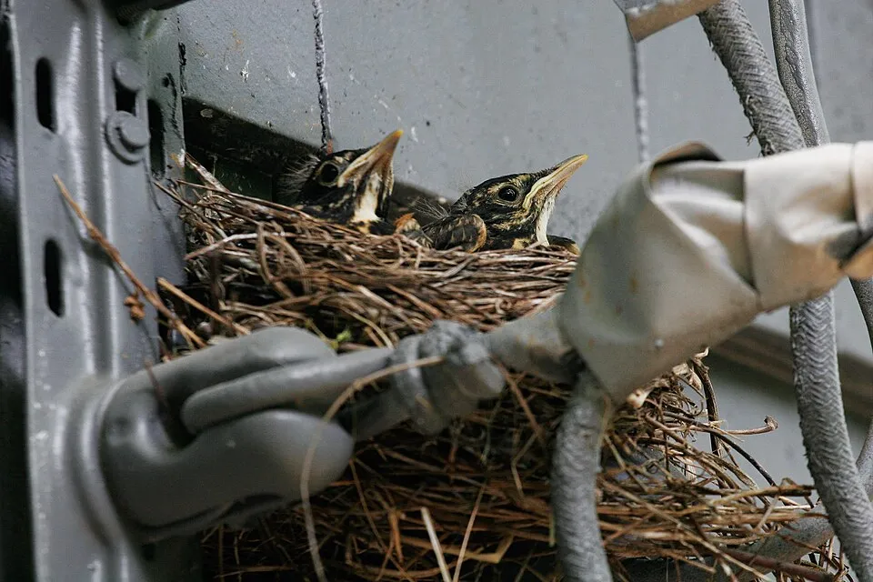
Among the species most often recorded on GBIF are Gadus morhua (Atlantic cod), Zonotrichia albicollis (White-throated Sparrow), Setophaga coronata (Myrtle Warbler) and Turdus migratorius (American Robin).
Who manages Terra Nova National Park?
Parks Canada.
What is the official website of Terra Nova National Park?
© OpenStreetMap
Download the boundary: GeoJSON · GPX Boundary © OpenStreetMap contributors (ODbL).
Geography
The representative point of the site lies at around 106 m above sea level. Over the 1996–2025 period, the mean annual temperature is about 5.4 °C and total precipitation reaches roughly 1,158 mm per year. The warmest month is usually August, the coolest February, and the wettest December.
Area
- Area
- 39,990 ha
- Elevation
- 106 m
- Snow cover
- ≈ 135 days a year
- Coordinates
- 48.5306, -53.9281
Climate
● Mean temperature (°C) · ▮ Precipitation (mm)
Source: Copernicus ERA5-Land (C3S, doi:10.24381/cds.68d2bb30), monthly averages 1996–2025 interpolated to the representative point, temperatures adjusted for elevation.
Contains modified Copernicus Climate Change Service information 2026. Neither the European Commission nor ECMWF is responsible for any use that may be made of the Copernicus information or data it contains.
Snow cover measured by satellite
J
F
M
A
M
J
J
A
S
O
N
D
average share of the site under snow · snowiest parts · ≈ 135 days a year
Snow cover: MODIS/Terra MOD10CM v61 (Hall & Riggs, 2021, NASA NSIDC DAAC, doi:10.5067/MODIS/MOD10CM.061), imagery from NASA GIBS (ESDIS); 2015–2025 average, grid of about 5 km.
Natural habitats
According to the global MODIS land cover (NASA, 2024), the land area is mainly made up of heath and scrub (51%) and forests (42%). Woodland is mostly coniferous. The sea covers about 23% of the site. The seabed reaches about 263 m deep (median depth 47 m; GEBCO bathymetry). Elevation ranges from sea level to about 210 m (sampled elevations, SRTM).
Biodiversity
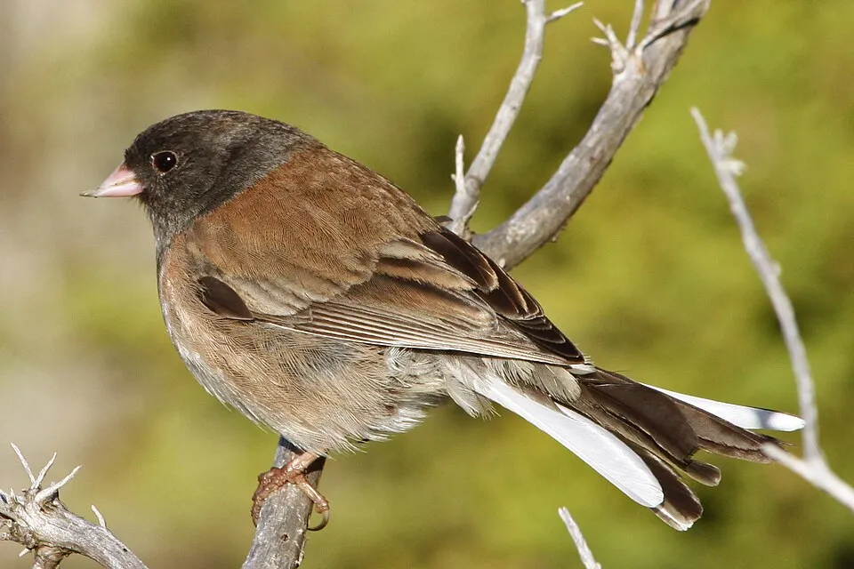
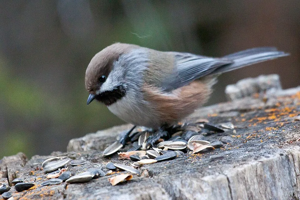
Based on occurrences aggregated by GBIF, several species are regularly recorded within the site. Among the most frequent are Gadus morhua (Atlantic cod), Zonotrichia albicollis (White-throated Sparrow), Setophaga coronata (Myrtle Warbler) and Turdus migratorius (American Robin). The full list of documented taxa is shown below.
Species to look out for

Observed species
Occurrences documented via GBIF; they are neither an exhaustive inventory nor proof of current presence.
- Atlantic cod · Gadus morhua · 24108
- White-throated Sparrow · Zonotrichia albicollis · 1693
- Myrtle Warbler · Setophaga coronata · 1514
- American Robin · Turdus migratorius · 1415
- Ruby-crowned Kinglet · Regulus calendula · 1400
- Dark-eyed junco · Junco hyemalis · 1136
- Boreal Chickadee · Poecile hudsonicus · 1118
- Hermit Thrush · Catharus guttatus · 1056
- Greater Yellowlegs · Tringa melanoleuca · 970
- Black-and-white Warbler · Mniotilta varia · 919
- Canada Jay · Perisoreus canadensis · 806
- American Herring Gull · Larus smithsonianus · 781
+18 more species
- Northern Waterthrush · Parkesia noveboracensis · 755
- Spotted sandpiper · Actitis macularius · 750
- Black-capped Chickadee · Poecile atricapillus · 732
- Magnolia Warbler · Setophaga magnolia · 712
- American Crow · Corvus brachyrhynchos · 692
- Northern Raven · Corvus corax · 637
- Yellow-bellied Flycatcher · Empidonax flaviventris · 636
- Golden-crowned Kinglet · Regulus satrapa · 596
- Black-throated Green Warbler · Setophaga virens · 575
- Great Black-backed Gull · Larus marinus · 573
- Dark-brown Scoparia Moth · Scoparia penumbralis · 551
- Palm Warbler · Setophaga palmarum · 539
- Blackpoll Warbler · Setophaga striata · 508
- Common Tern · Sterna hirundo · 507
- Pine Siskin · Spinus pinus · 504
- Common loon · Gavia immer · 495
- American Black Duck · Anas rubripes · 481
- Lincoln's Sparrow · Melospiza lincolnii · 462
Records: GBIF.org (CC-BY). Names: Wikidata (CC0), GBIF. Photos: Wikimedia Commons.
Conservation challenges
The primary purpose of the site is to preserve its natural habitats and the biodiversity they support. The species recorded (Biodiversity tab) reflect its ecological value. Its status as a national park sets the regulatory framework for its protection.
According to Global Forest Change data (University of Maryland, Global Forest Watch), about 239 ha of tree cover were lost within the boundary between 2001 and 2023 (under 1% of its area), peaking in 2016 and 2017. These losses include logging, storms and fires, and do not account for regrowth. At night, the area gives off virtually no artificial light detectable from space (NASA VIIRS Black Marble composite, 2016). Since 2000, 13 invasive alien species have been recorded within the site (GBIF observations). Among them: Dendrobaena octaedra (Octagonal-tail worm), Leucanthemum vulgare (Oxeye daisy) and Coleophora serratella (Birch casebearer).
Pressure indicators
Tree cover lost
239 ha
2001–2023 · < 1% of the area
20012023
Light at night
0%
of the area gives off artificial light visible from space
DarkLit
Invasive alien species
13
recorded since 2000
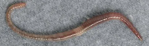 Octagonal-tail worm
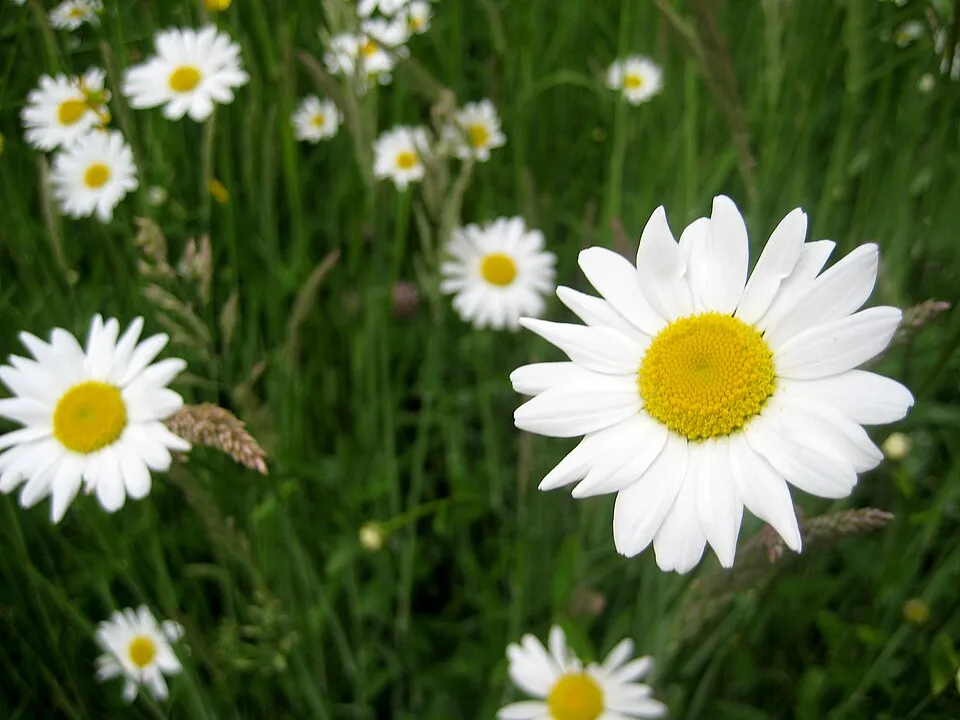 Oxeye daisy
Birch casebearer
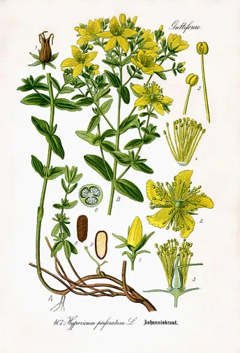 Perforate St John's-wort
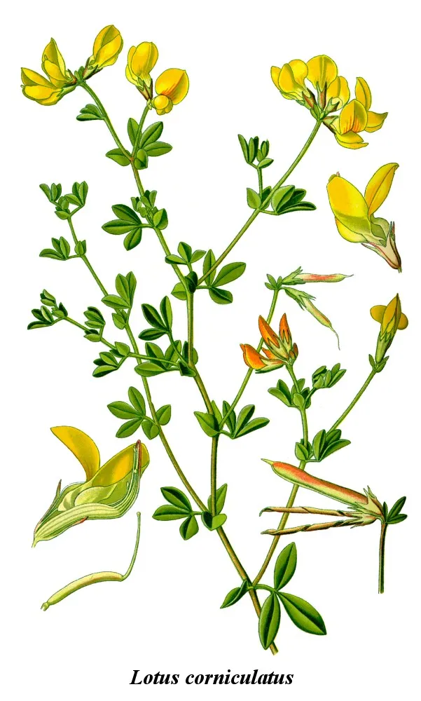 Common Bird's-foot-trefoil
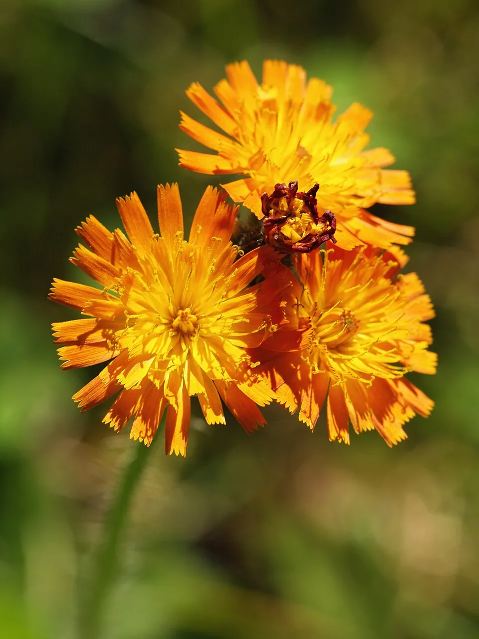 Orange hawkweed
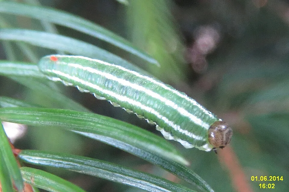 European Spruce Sawfly
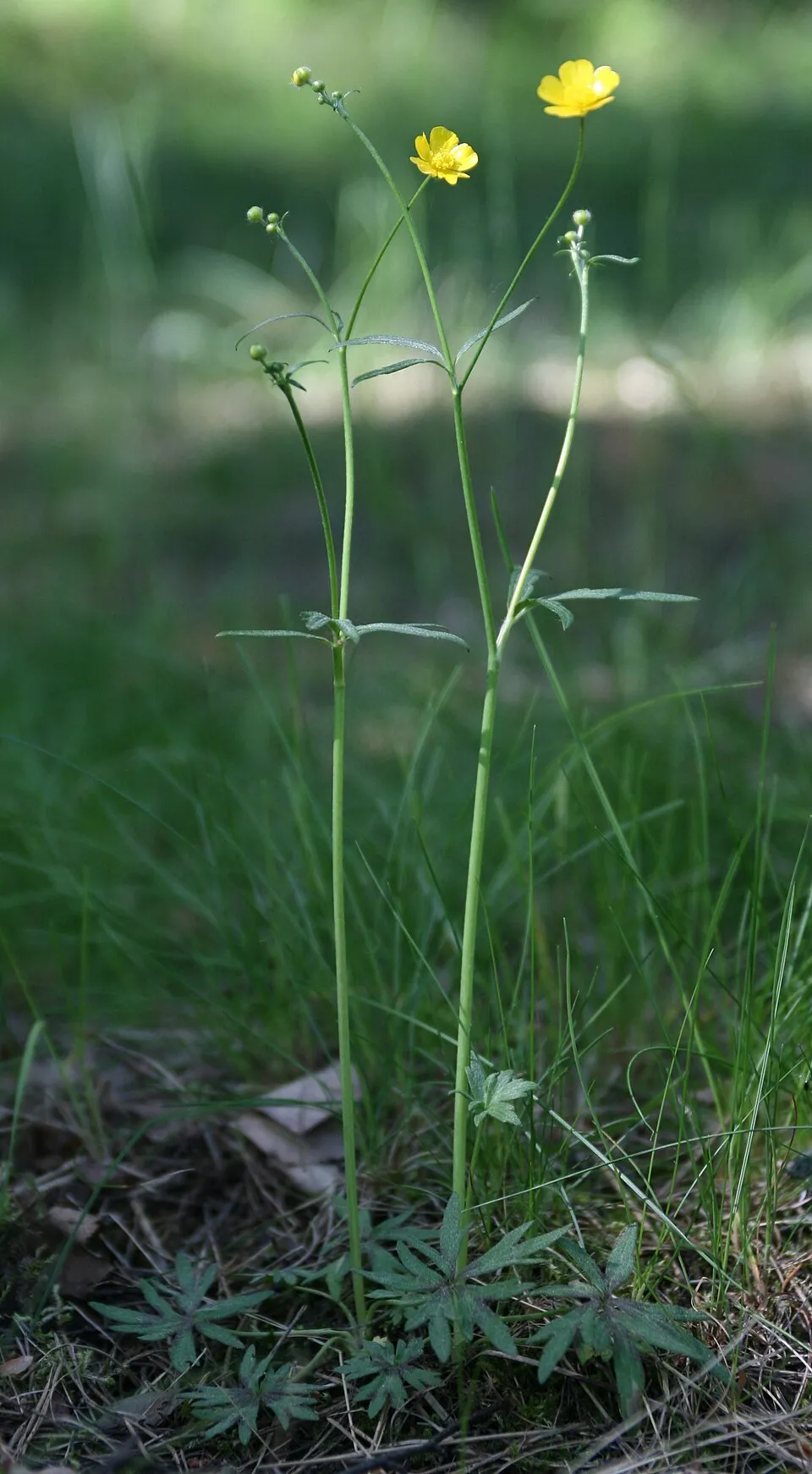 Meadow buttercup
Photos: Octagonal-tail worm © Salsero35 · CC BY 3.0; Oxeye daisy © Lupus in Saxonia · CC BY-SA 4.0; Perforate St John's-wort © Prof. Dr. Thomé, Otto Wilhelm · Public domain; Common Bird's-foot-trefoil © Chrizz~commonswiki · CC BY-SA 3.0; Orange hawkweed © Jörg Hempel · CC BY-SA 3.0; European Spruce Sawfly © David Short from Windsor, UK · CC BY 2.0; Meadow buttercup © Alinja · CC BY-SA 4.0
Sources: Global Forest Change (Hansen et al., University of Maryland, via Global Forest Watch, CC-BY 4.0); EFFIS, European Commission / Copernicus; NASA Black Marble 2016 (public domain); CORINE Land Cover 2018 (Copernicus) or MODIS.
Invasive alien species: Global Register of Introduced and Invasive Species (ISSG, CC BY 4.0); Union list, Regulation (EU) 1143/2014 (INBO, CC0); GBIF.org records (CC0 / CC BY 4.0), at least 2 per species.
Practical information
Cities and airport
- Airport: Gander (YQX)
54 km as the crow flies
Visitor information
- Terra Nova National Park Information Center
within the site
Parking
10 public car parks listed within the site
Trail 3
Data © OpenStreetMap contributors (ODbL) · Wikidata (CC0)
Access and visiting
Nearest airport: Gander (YQX), about 54 km away. About 9,300 people live within 20 km of the site boundary, 7,400 of them within 10 km; the site itself is virtually uninhabited (GHSL estimate, 2020). Visitor information on site: Terra Nova National Park Information Center. Public car parks listed within the site: 10, including Trail 3. To see: 1 lake or pond and 1 cave, including Long Waters and Three Holes. To plan a visit (access, opening periods, visitor rules), it is best to consult the official information from the managing body (Parks Canada) and the official website listed in this page's sources.
Source: OpenStreetMap (ODbL), Wikidata (CC0), October 2026.
When to visit
Best time to visit: from June to September, with average temperatures of 11 to 18 °C and moderate rainfall. Average temperatures drop below 0 °C from December to March: frost is common. According to NASA's MODIS satellites (2015–2025 average), snow covers most of the site from December to March, and until April on higher ground, with about 135 snow-covered days a year on average. Day length ranges from about 8 h 19 min in December to 16 h 06 min in June. Wildlife records published on GBIF peak for birds (June), plants (July), butterflies and moths (July), dragonflies (July) and mammals (from June to August). These peaks also reflect when observers are most active.
Source: Copernicus ERA5-Land (C3S), monthly averages 1996–2025 at the representative point, temperatures adjusted for elevation.
Contains modified Copernicus Climate Change Service information 2026. Neither the European Commission nor ECMWF is responsible for any use that may be made of the Copernicus information or data it contains.
Wildlife records calendar
JFMAMJJASOND
Birds
Plants
Butterflies & moths
Dragonflies
Mammals
Monthly records published on GBIF (CC-BY), relative to the busiest month; also reflects observer activity.
Gallery
© Tango7174 · CC BY-SA 4.0
© Ycleymans · CC BY-SA 4.0
© D. Gordon E. Robertson · CC BY-SA 3.0
© Big iron · CC BY-SA 3.0
© Ycleymans · CC BY-SA 4.0
© Slimguy · CC BY-SA 2.0
Sources and licences
- Wikidata: Q1422693
- OpenStreetMap: relation 12153321
- Official website: https://www.pc.gc.ca/fr/pn-np/nl/terranova
- Wikipedia: en.wikipedia.org/wiki/Terra_Nova_National_Park
- WDPA: 18668
References
- cds.climate.copernicus.eu: climate · CC-BY-4.0
- registry.opendata.aws: elevation of the reference point · PD
- lpdaac.usgs.gov: land cover · PD
- doi.org: population around the site · CC-BY-4.0
- naturalearthdata.com: sea share · PD
- wikidata.org: official area, establishment date, protected heritage, managing body, nearby cities and airport, access and peaks, lake depths, places to see, official website · CC0-1.0
- en.eurovelo.com: EuroVelo cycle routes · ODbL-1.0
- cycling.waymarkedtrails.org: cycle routes · ODbL-1.0
- gebco.net: depths · PD
- opentopodata.org: elevations · PD
- globalforestwatch.org: tree cover loss · CC-BY-4.0
- gbif.org: seasonality of sightings, invasive alien species, observed species · CC-BY-4.0
- openstreetmap.org: official name, access and peaks, trail difficulty · ODbL-1.0
- earthobservatory.nasa.gov: night light · PD
- registry.opendata.aws: detailed relief · OGL-CA
- nsidc.org: snow cover · PD
- wikidata.org: Wikipedia article · CC-BY-SA-4.0
Data © OpenStreetMap contributors (ODbL), Wikidata (CC0) and the sources cited.