
Bird
Spotted sandpiper: where to see it
Actitis macularius
This bird species is recorded in 29 protected areas of the atlas. Within the atlas countries, it is mostly observed in France, Portugal and the Netherlands (9 countries in all). Records peak from August to February. It has a wingspan of 37–40 cm.
Best time to see it: August–February
Records published on GBIF by month (CC0 and CC BY 4.0 licences only), in the atlas countries, all years combined; they also reflect observer activity.
Key facts
- Wingspan
- 37–40 cm Wikidata, after Handbook of the Birds of the World
Distribution
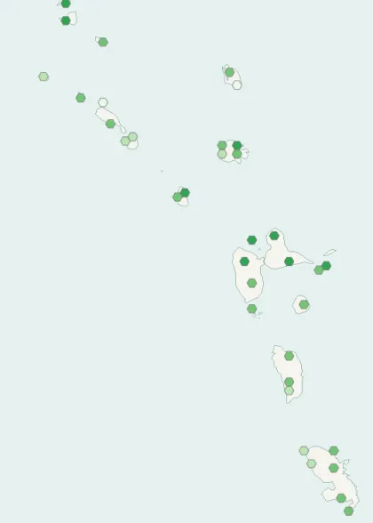
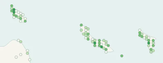
Records published on GBIF (CC0 and CC BY 4.0 licences): the darker the shade, the more records there are; they also reflect observation effort.
Atlas countries where it is recorded
From Wikipedia
The spotted sandpiper (Actitis macularius) is a small shorebird. Together with its sister species the common sandpiper (A. hypoleucos), it makes up the genus Actitis. They replace each other geographically; stray birds may settle down with breeders of the other species and hybridize.
Source: Wikipedia, article “Spotted sandpiper” (version of October 17, 2026) · history and authors · licence CC BY-SA 4.0
Protected areas where it is recorded
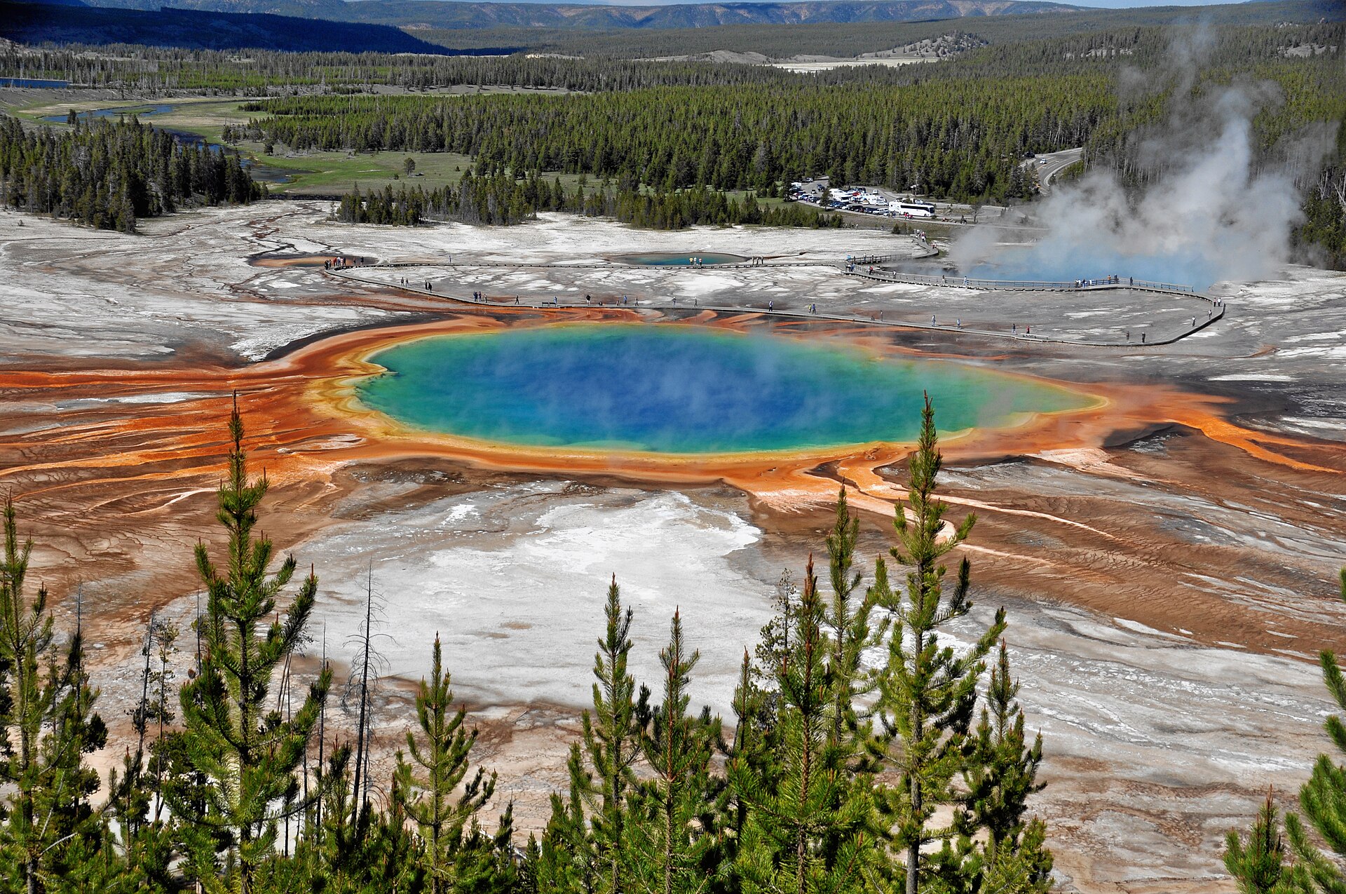
5,065 records
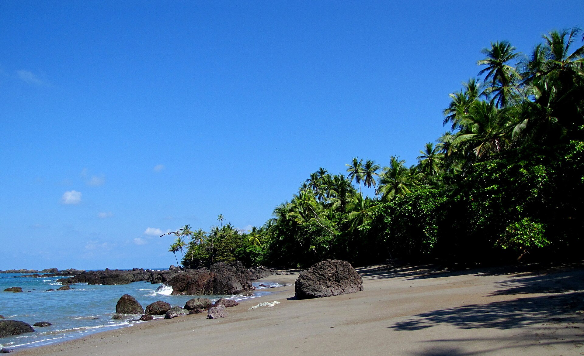
2,373 records

1,672 records
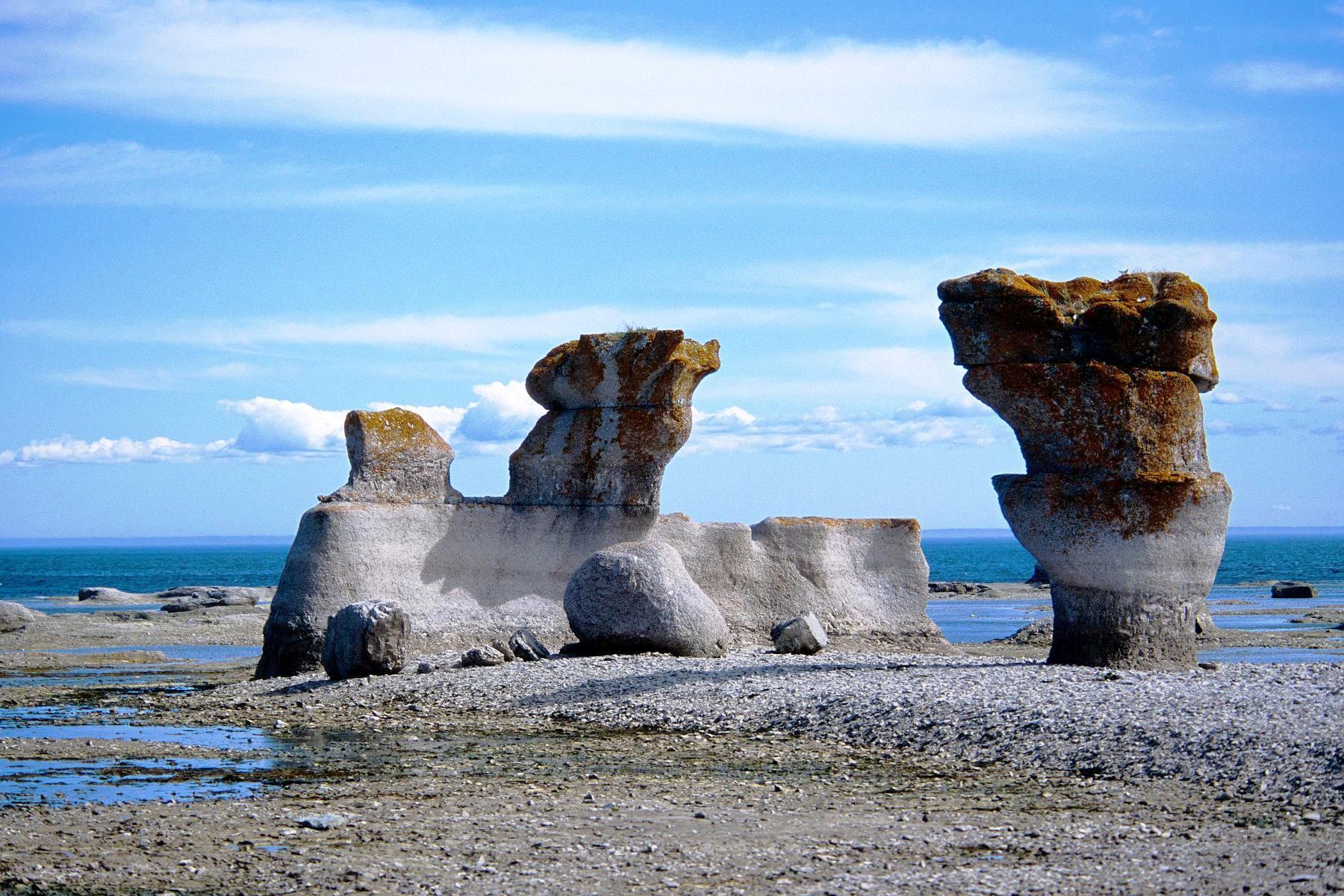
1,300 records

968 records
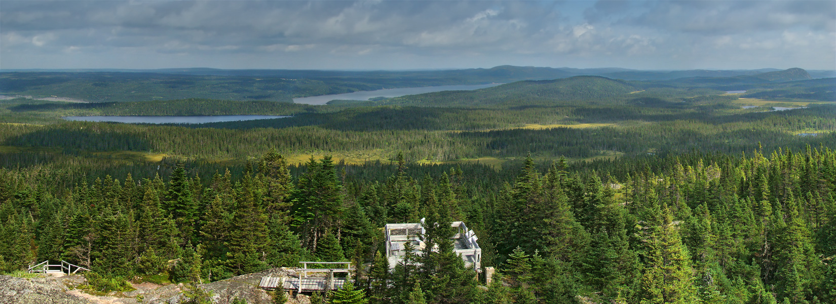
750 records
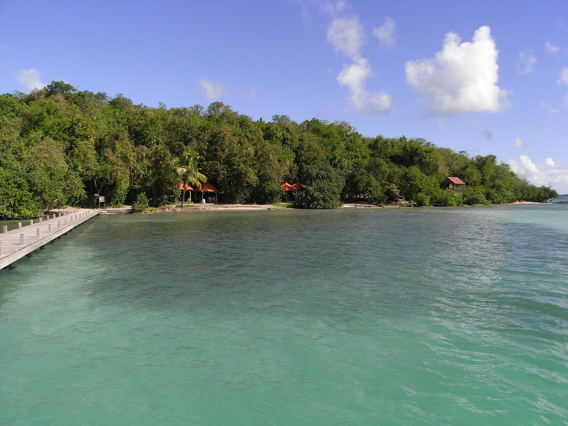
694 records

686 records

686 records

672 records

669 records

606 records

530 records
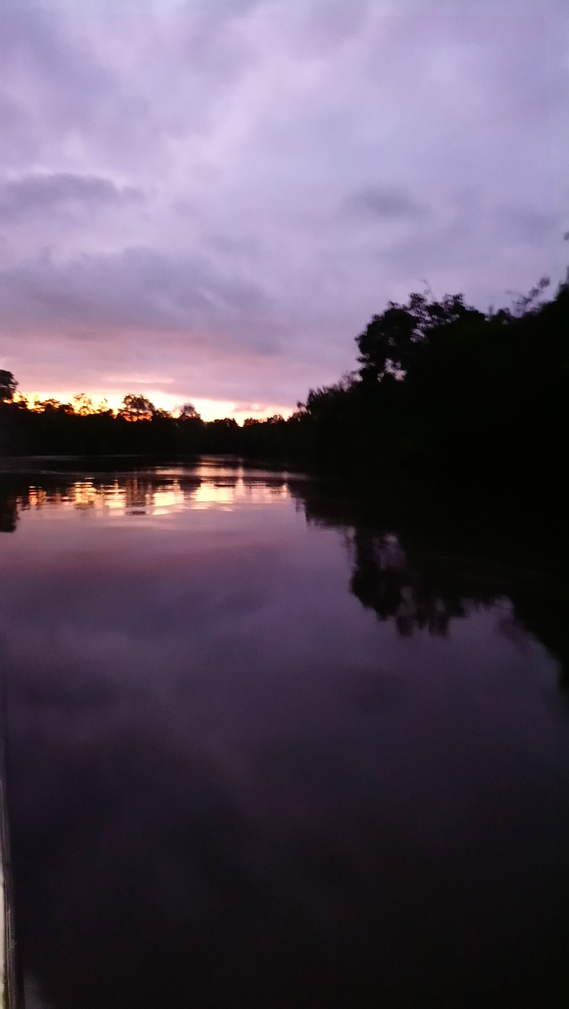
528 records

353 records

270 records

203 records

194 records
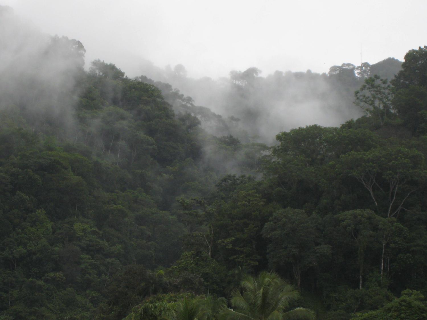
154 records
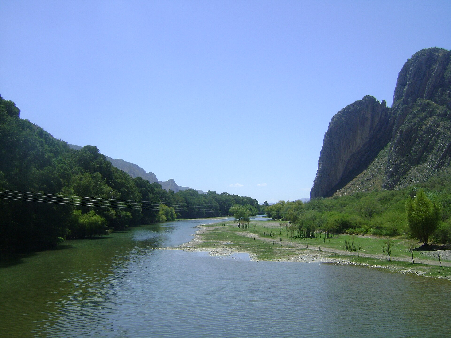
153 records
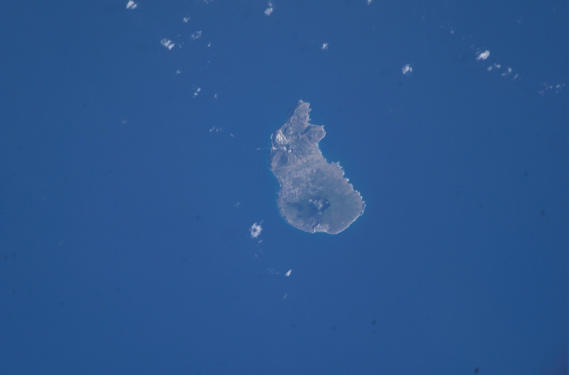
87 records
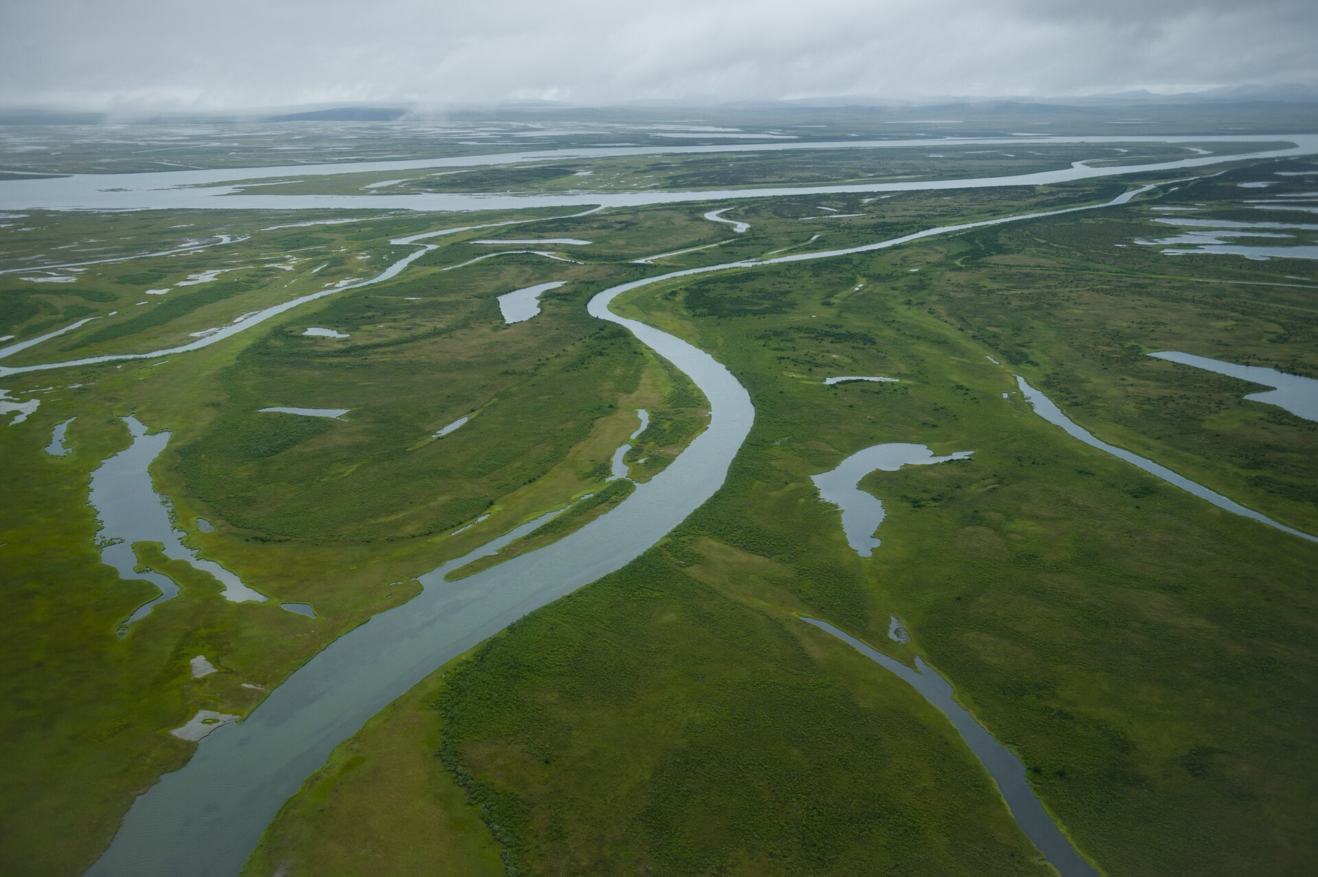
62 records
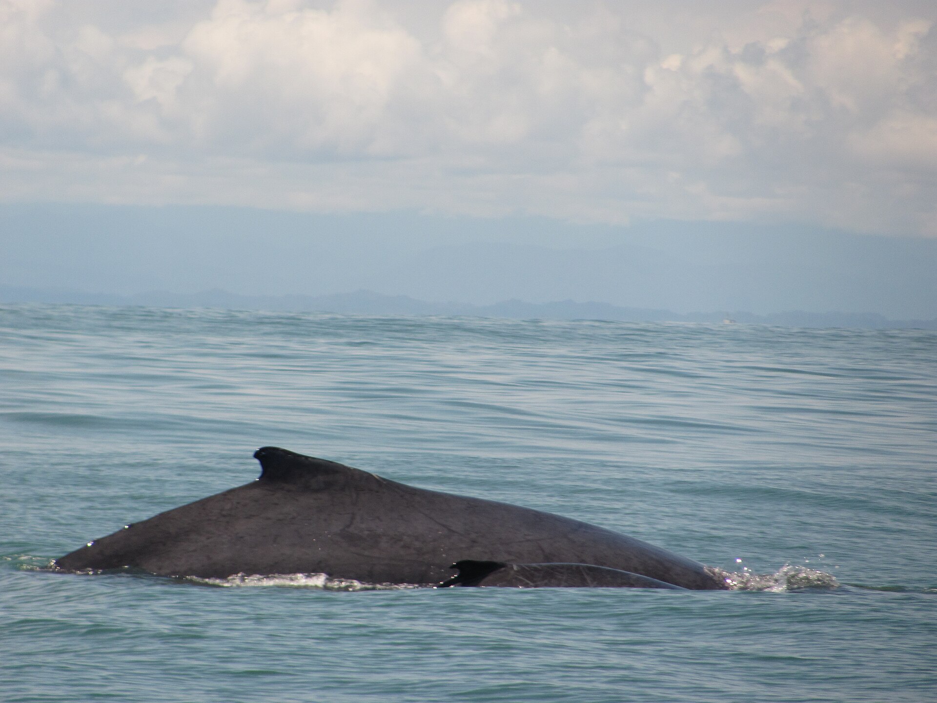
57 records

37 records

29 records
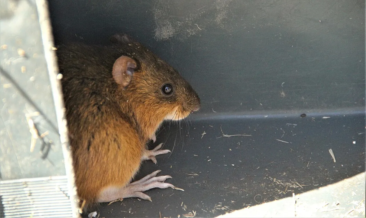
14 records
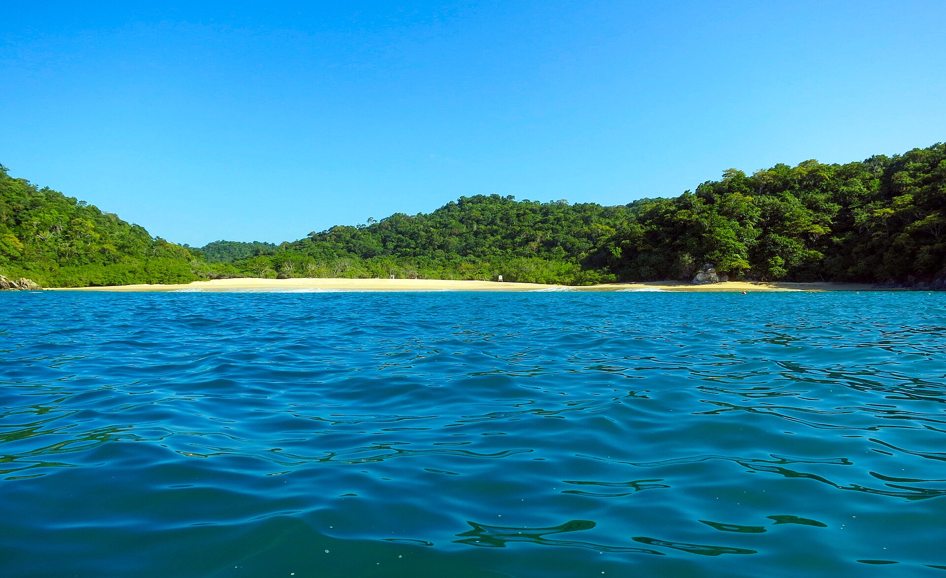
8 records
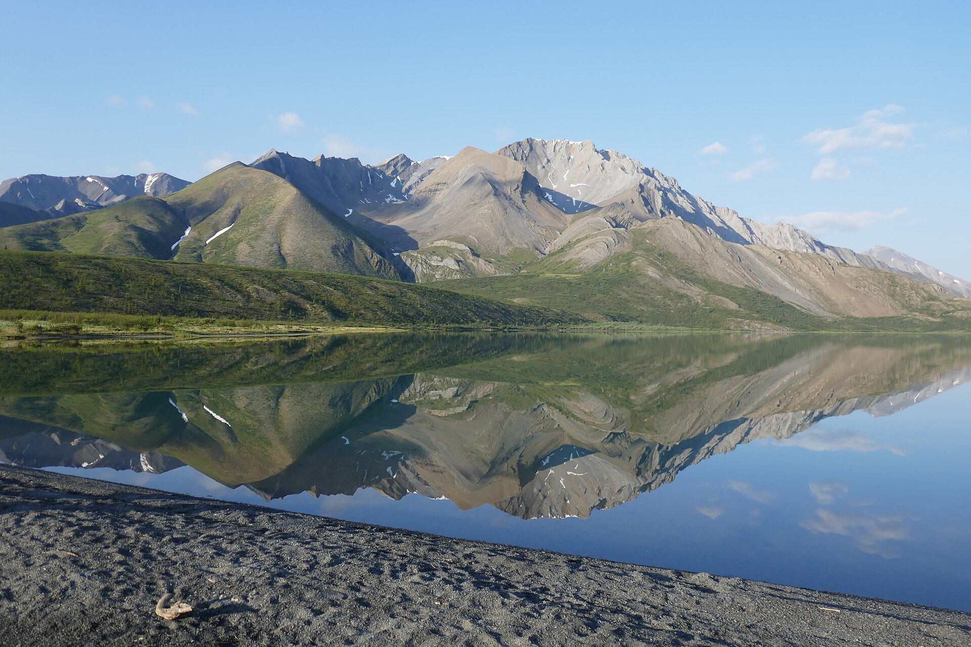
8 records

7 records
Other species to discover
 Common Sandpiper
Actitis hypoleucos Same genus
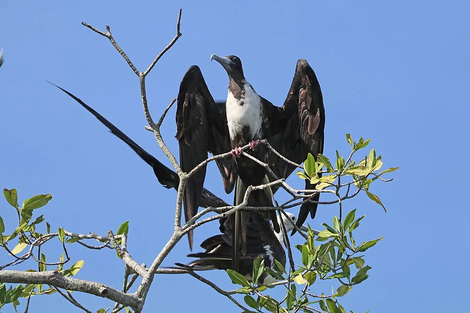 Magnificent frigatebird
Fregata magnificens 18 places in common
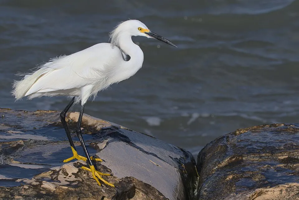 Snowy Egret
Egretta thula 16 places in common
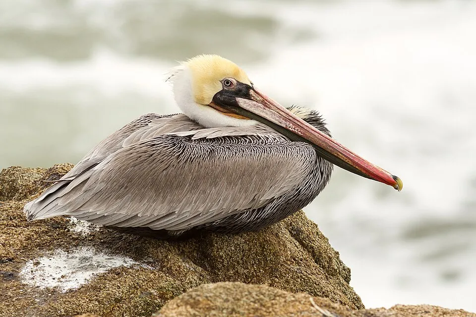 Brown pelican
Pelecanus occidentalis 16 places in common
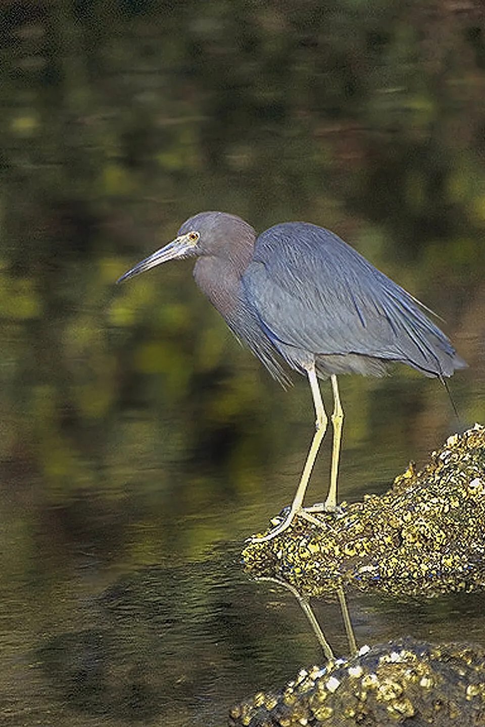 Little Blue Heron
Egretta caerulea 12 places in common
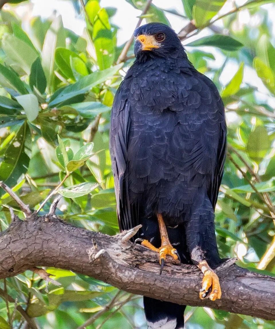 Common Black Hawk
Buteogallus anthracinus 7 places in common
Sources and credits
- Presence: most-recorded species of each place on GBIF and species of Community interest in the Natura 2000 forms (EEA, CC-BY 4.0); absence from the list does not mean the species is absent.
- Common names: Wikidata (CC0) and GBIF.
- Photos and sounds: Wikimedia Commons, author and licence given for each file.
- Classification: GBIF Backbone Taxonomy (GBIF Secretariat), CC BY 4.0, doi:10.15468/39omei.
- Countries, elevations, months and maps: GBIF.org, CC0 or CC BY 4.0 occurrences only, accessed October 22, 2026, GBIF.org.
- Base map: Natural Earth (public domain).
- Excerpt: Wikipedia, CC BY-SA 4.0 (full credit below the excerpt).
- Key facts: Wikidata (CC0), with the references cited under each value.