Colombia · Marine
Uramba Bahía Málaga National Park
National park of 47,094 hectares in Colombia.
Overview
National park of 47,094 hectares in Colombia.
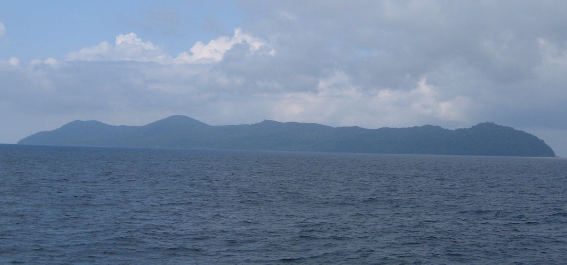
Uramba Bahía Málaga National Park is located in Colombia (South America). It is a predominantly marine area. It covers about 47,094 hectares.
In our collections
Frequently asked questions
Where is Uramba Bahía Málaga National Park?
In Colombia (South America). Representative point: 3.9759° N, 77.3060° W.
How large is Uramba Bahía Málaga National Park?
About 47,094 hectares (471 km²). It is the 34th largest of the 44 national parks in Colombia covered by Parkavela.
What habitats and landscapes does Uramba Bahía Málaga National Park include?
A marine area, with coasts and coral reefs.
When is the best time to visit Uramba Bahía Málaga National Park?
Best time to visit: the dry season, February and March, with less than 730 mm of rain per month.
What is the nearest large city to Uramba Bahía Málaga National Park?
Nearest towns of over 50,000 people, as the crow flies: Cali (98 km). Nearest airport: Alfonso Bonilla Aragón (CLO), about 105 km away.
How can I reach Uramba Bahía Málaga National Park by train?
The nearest railway station is Buenaventura, about 22 km from the site boundary.
Which species can be seen in Uramba Bahía Málaga National Park?
Among the species most often recorded on GBIF are Linnemannia sclerotiella, Saitozyma podzolica, Lottia mesoleuca and Mortierella rishikesha.
What is the official website of Uramba Bahía Málaga National Park?
parquesnacionales.gov.co/PNN/portel/libreria/php/decide.php?patron=01.0144
© OpenStreetMap
Download the boundary: GeoJSON · GPX Boundary © OpenStreetMap contributors (ODbL).
Geography
Over the 1996–2025 period, the mean annual temperature is about 25.2 °C and total precipitation reaches roughly 17,098 mm per year. The warmest month is usually March, the coolest November, and the wettest August.
Area
- Area
- 47,094 ha
- Coordinates
- 3.9759, -77.306
Climate
● Mean temperature (°C) · ▮ Precipitation (mm)
Source: Copernicus ERA5-Land (C3S, doi:10.24381/cds.68d2bb30), monthly averages 1996–2025 interpolated to the representative point, temperatures adjusted for elevation.
Contains modified Copernicus Climate Change Service information 2026. Neither the European Commission nor ECMWF is responsible for any use that may be made of the Copernicus information or data it contains.
Natural habitats
The sea covers about 96% of the site. The seabed reaches about 59 m deep (median depth 15 m; GEBCO bathymetry). Reef-building corals are documented in the area: 18 records published on GBIF.
Biodiversity
Based on occurrences aggregated by GBIF, several species are regularly recorded within the site. Among the most frequent are Linnemannia sclerotiella, Saitozyma podzolica, Lottia mesoleuca and Mortierella rishikesha. The full list of documented taxa is shown below.
Species to look out for
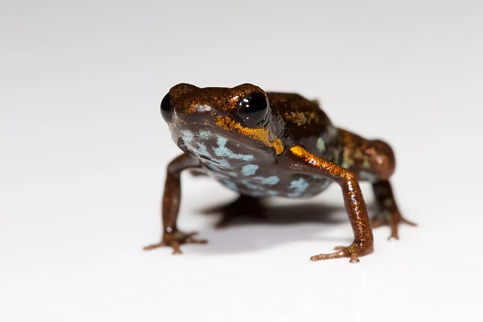
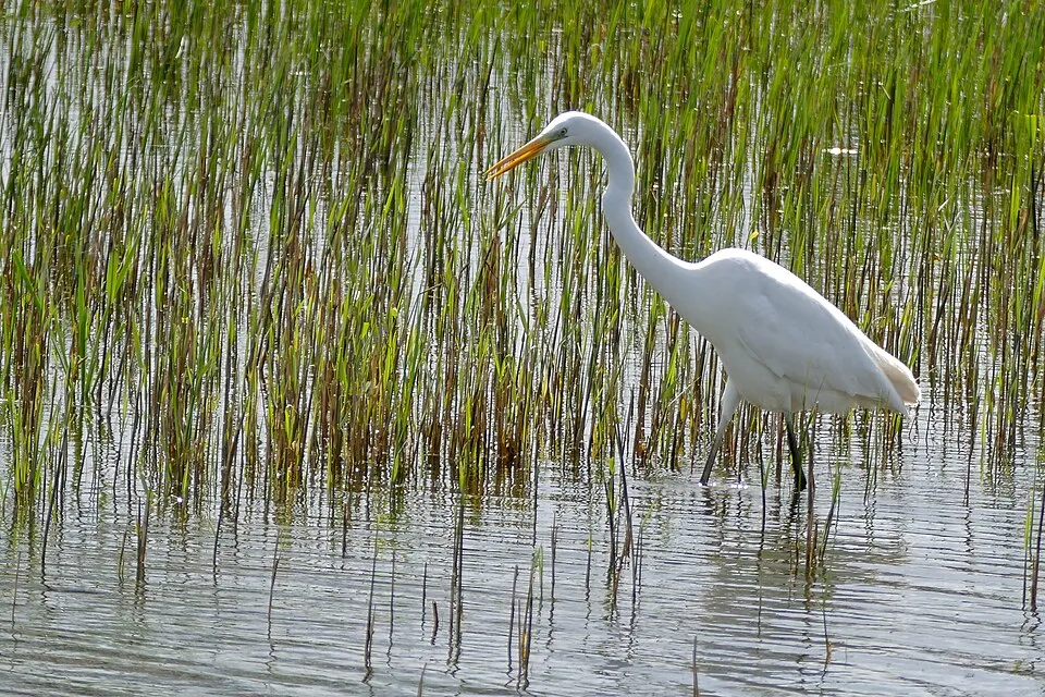
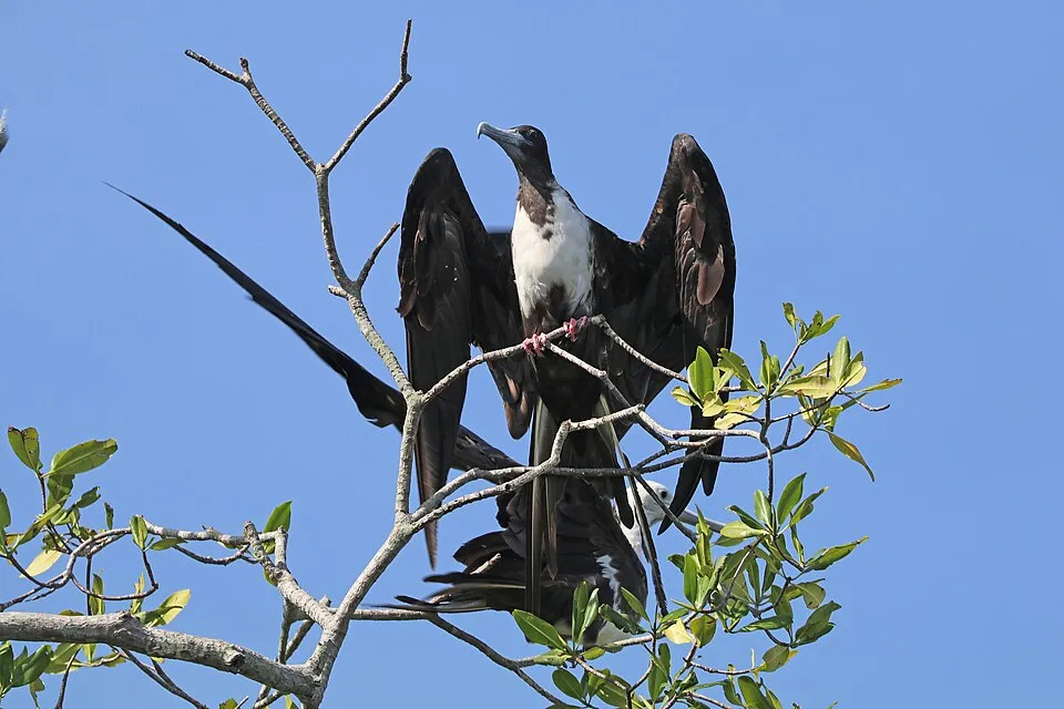
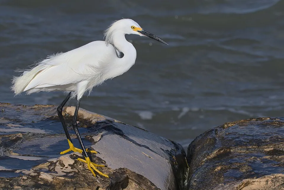
Observed species
Occurrences documented via GBIF; they are neither an exhaustive inventory nor proof of current presence.
- Linnemannia sclerotiella · 310
- Saitozyma podzolica · 236
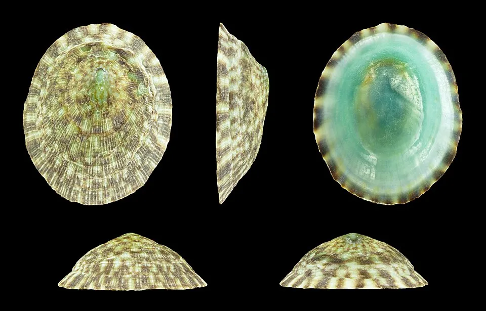
- Lottia mesoleuca · 206
- Mortierella rishikesha · 150
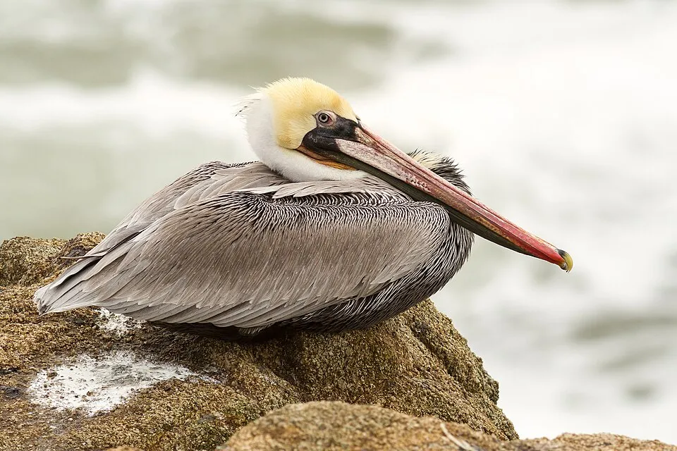
- Brown pelican · Pelecanus occidentalis · 128
- Blue-bellied poison frog · Andinobates minutus · 99
- Great Egret · Ardea alba · 96
- Magnificent frigatebird · Fregata magnificens · 90
- Trichoderma pubescens · 88
- Mortierella gemmifera · 77
- Snowy Egret · Egretta thula · 69
- Little Blue Heron · Egretta caerulea · 69
+18 more species
- Neotropic Cormorant · Phalacrocorax brasilianus · 68
- Ophiothrix spiculata · 67
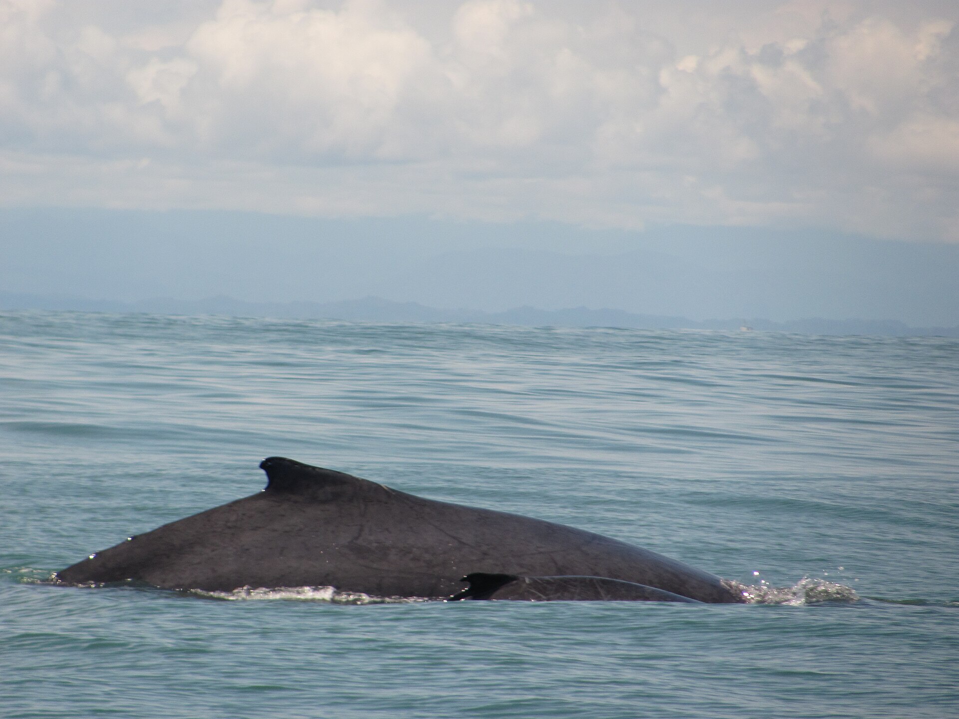
- Humpback whale · Megaptera novaeangliae · 66
- Great-tailed Grackle · Quiscalus mexicanus · 66
- Black Vulture · Coragyps atratus · 62
- Spotted sandpiper · Actitis macularius · 57
- Podila humilis · 52
- Yellow-crowned Night Heron · Nyctanassa violacea · 52
- Flame-rumped Tanager · Ramphocelus flammigerus · 45
- Turkey Vulture · Cathartes aura · 43
- Pallas's Long-tongued Bat · Glossophaga soricina · 40
- Eurasian Whimbrel · Numenius phaeopus · 38
- Tawny-crested Tanager · Tachyphonus delatrii · 38
- Laughing Gull · Leucophaeus atricilla · 38
- Tropical Kingbird · Tyrannus melancholicus · 37
- Seba's short-tailed bat · Carollia perspicillata · 35
- Cladosporium salinae · 35
- Savigny's Brittle Star · Ophiactis savignyi · 34
Records: GBIF.org (CC-BY). Names: Wikidata (CC0), GBIF. Photos: Wikimedia Commons.
Conservation challenges
The primary purpose of the site is to preserve its natural habitats and the biodiversity they support. The species recorded (Biodiversity tab) reflect its ecological value. Its status as a national park sets the regulatory framework for its protection.
Practical information
Cities and airport
- Cali
98 km as the crow flies - Airport: Alfonso Bonilla Aragón (CLO)
105 km as the crow flies
Data © OpenStreetMap contributors (ODbL) · Wikidata (CC0)
Access and visiting
The nearest railway station is Buenaventura, about 22 km from the site boundary. Nearest towns of over 50,000 people, as the crow flies: Cali (98 km). Nearest airport: Alfonso Bonilla Aragón (CLO), about 105 km away. About 24,000 people live within 20 km of the site boundary, 2,300 of them within 10 km (GHSL estimate, 2020). This population has grown by about 178% since 2000. To plan a visit (access, opening periods, visitor rules), it is best to consult the official information from the managing body and the official website listed in this page's sources.
Source: OpenStreetMap (ODbL), Wikidata (CC0), November 2026.
When to visit
Best time to visit: the dry season, February and March, with less than 730 mm of rain per month. Wildlife records published on GBIF peak for birds (October and November), plants (October) and mammals (November). These peaks also reflect when observers are most active.
Source: Copernicus ERA5-Land (C3S), monthly averages 1996–2025 at the representative point, temperatures adjusted for elevation.
Contains modified Copernicus Climate Change Service information 2026. Neither the European Commission nor ECMWF is responsible for any use that may be made of the Copernicus information or data it contains.
Wildlife records calendar
JFMAMJJASOND
Birds
Plants
Mammals
Monthly records published on GBIF (CC-BY), relative to the busiest month; also reflects observer activity.
Gallery
© Jardín Botánico La Manigua · CC BY-SA 4.0
© Snsdkoko · CC BY-SA 4.0
© Juandareina · CC BY-SA 4.0
© Lilo2111 · CC BY-SA 4.0
© Eyvind Johannes Giraldo Miranda · CC BY-SA 4.0
© Edson1222 · CC BY-SA 4.0
Sources and licences
- Wikidata: Q3364534
- OpenStreetMap: relation 4758028
- Official website: http://www.parquesnacionales.gov.co/PNN/portel/libreria/php/decide.php?patron=01.0144
- Wikipedia: en.wikipedia.org/wiki/Uramba_Bahía_Málaga_National_Natural_Park
- WDPA: 555555692
References
- cds.climate.copernicus.eu: climate · CC-BY-4.0
- registry.opendata.aws: elevation of the reference point · PD
- lpdaac.usgs.gov: land cover · PD
- doi.org: population around the site · CC-BY-4.0
- naturalearthdata.com: sea share · PD
- wikidata.org: official area, protected heritage, nearby cities and airport, access and peaks, places to see, official website · CC0-1.0
- gbif.org: coral records, seasonality of sightings, invasive alien species, observed species · CC-BY-4.0
- gebco.net: depths · PD
- opentopodata.org: elevations · PD
- openstreetmap.org: official name, access and peaks · ODbL-1.0
- wikidata.org: Wikipedia article · CC-BY-SA-4.0
Data © OpenStreetMap contributors (ODbL), Wikidata (CC0) and the sources cited.