Plant
Mastic Tree
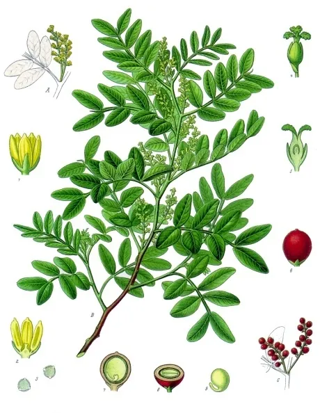
Pistacia lentiscus55 records © Franz Eugen Köhler, Köhler's Medizinal-Pflanzen · Public domain
Italy · Terrestrial
Regional nature park of 1,600 hectares in Italy, established in 2007.
Regional nature park of 1,600 hectares in Italy, established in 2007.
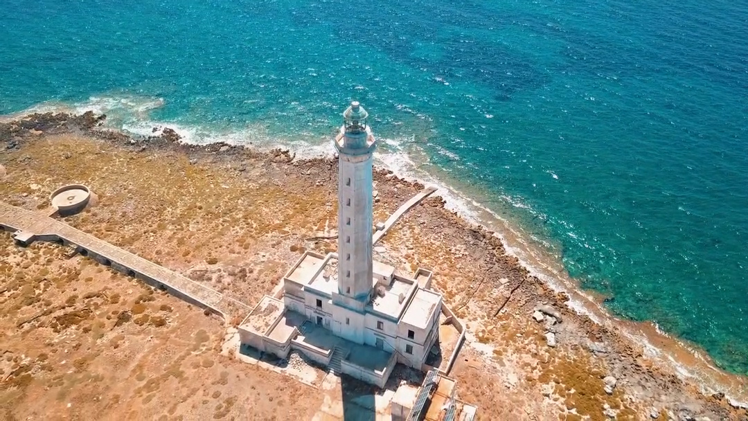
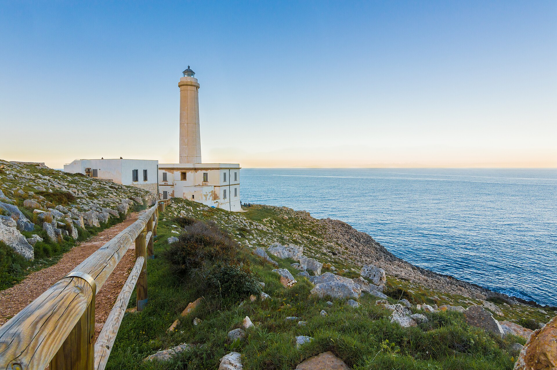
Ugento Coast Regional Nature Park is located in Italy (Europe). It is a predominantly terrestrial area. Established in 2007, it covers about 1,600 hectares.
Protected as a regional nature park. International labels and designations: Natura 2000 network (1 site: “Litorale di Ugento”).
In Italy (Europe). Representative point: 39.8680° N, 18.1776° E.
About 1,600 hectares (16 km²). It is the 97th largest of the 128 regional parks in Italy covered by Parkavela.
In 2007.
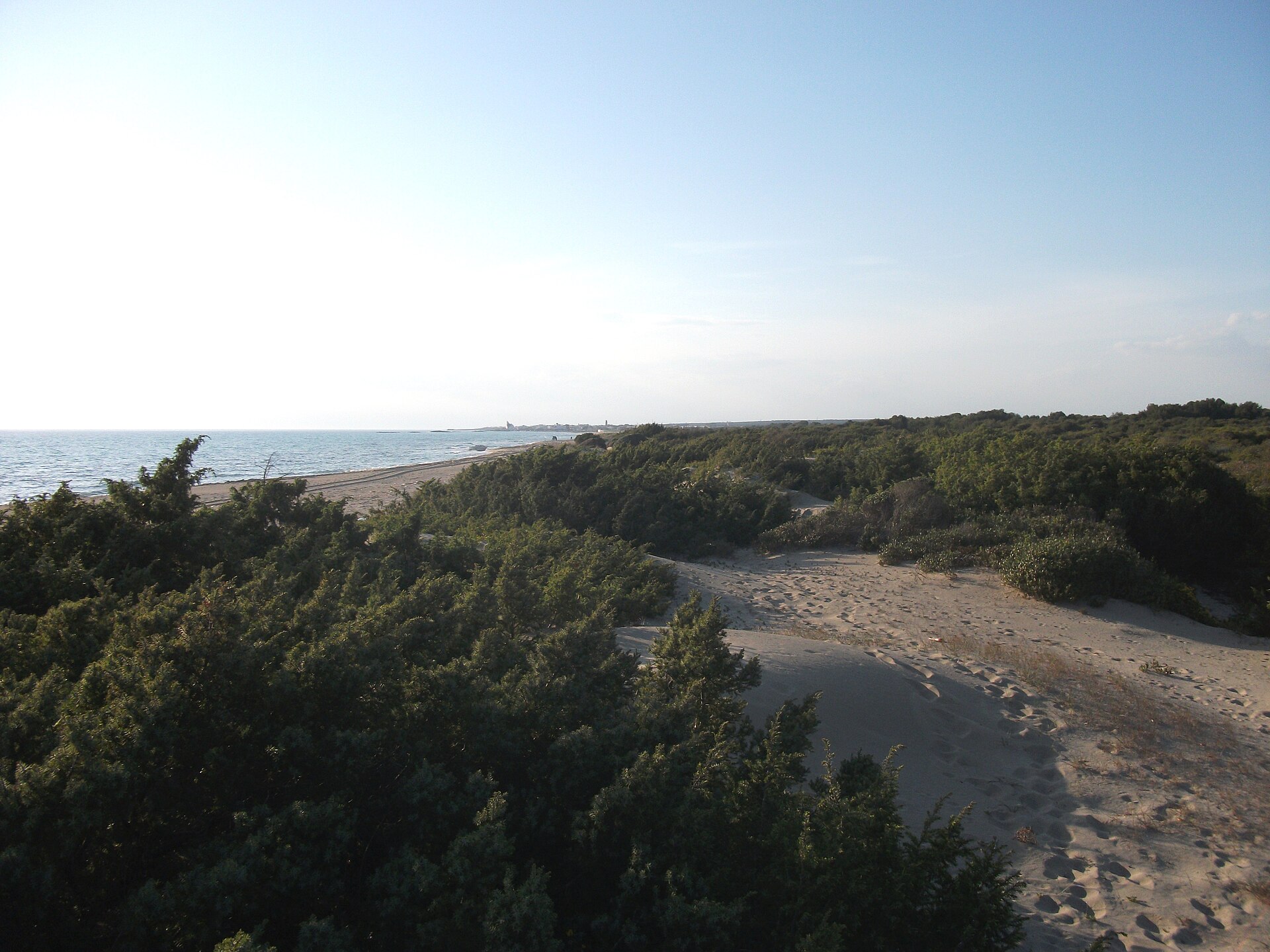
A terrestrial area, with coasts.
According to the European 1:1 million geological map (EGDI), the bedrock consists mainly of limestones (69% of sampled points) and carbonate rocks (31%). These are mostly sedimentary rocks. The geological units date mainly from the Cretaceous (69% of sampled points).
Serra delle Fontane, at 72 m (OpenStreetMap).
Natura 2000 network (1 site: “Litorale di Ugento”).
Best time to visit: from April to June, with average temperatures of 14 to 24 °C and moderate rainfall.
1 viewpoint and 1 lake or pond, including Bacino Spunderati Sud (OpenStreetMap).
6 monitored bathing sites lie in or within 1 km of the site; official 2025 classification: 6 excellent (European Environment Agency). Swimming is only permitted at the sites and times authorised locally.
Nearest towns of over 50,000 people, as the crow flies: Calimera (40 km) and Lecce (50 km). Nearest airport: Brindisi – Salento (BDS), about 84 km away.
The nearest railway station is Ugento-Taurisano, about 6 km from the site boundary.
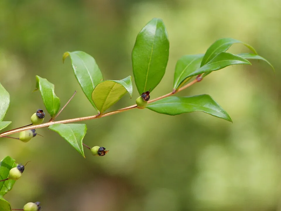
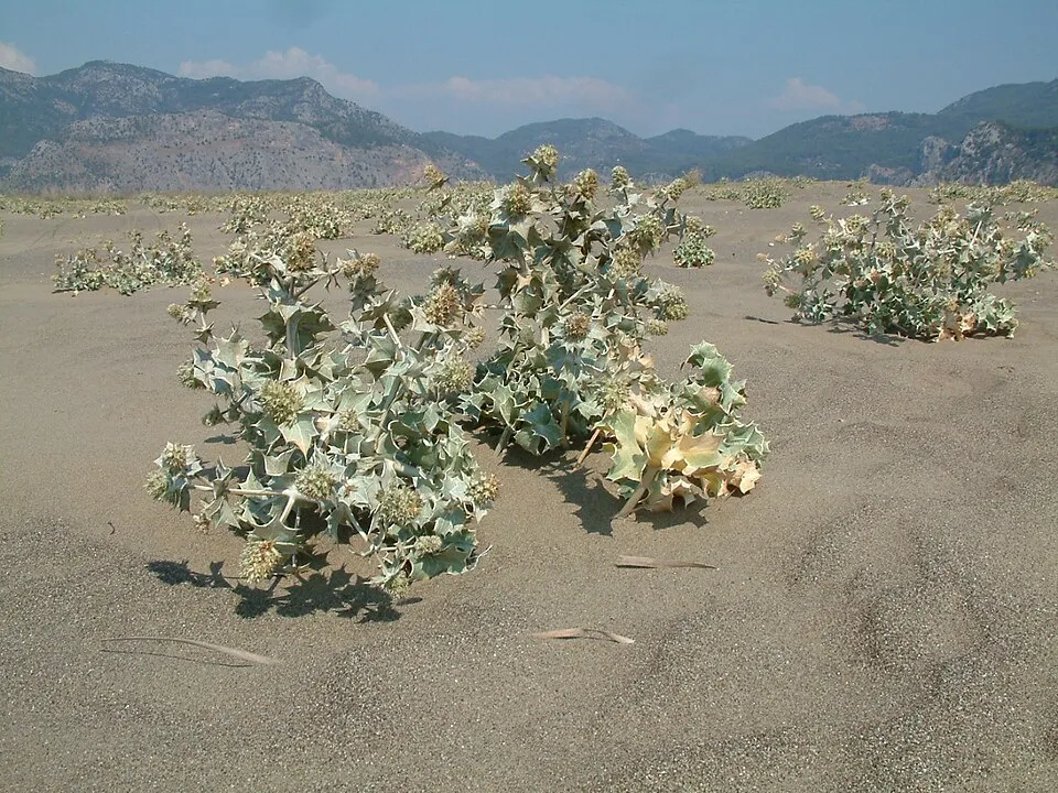
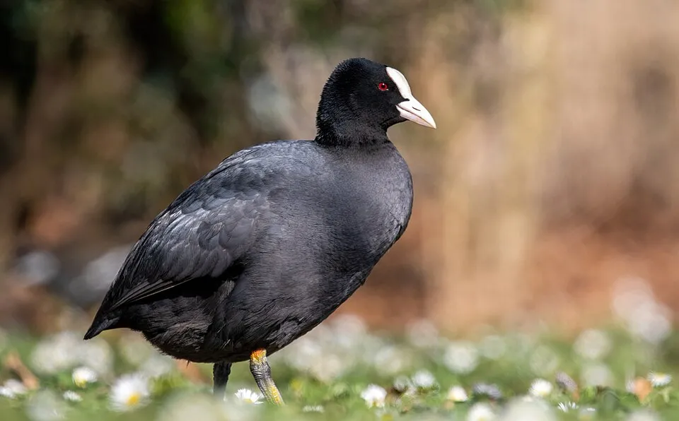
Among the species most often recorded on GBIF are Pistacia lentiscus (Mastic Tree), Myrtus communis (Common myrtle), Eryngium maritimum (Sea-holly) and Fulica atra (Common Coot).
© OpenStreetMap
Download the boundary: GeoJSON · GPX Boundary © OpenStreetMap contributors (ODbL).
The representative point of the site lies at around 57 m above sea level. Over the 1996–2025 period, the mean annual temperature is about 17.9 °C and total precipitation reaches roughly 667 mm per year. The warmest month is usually August, the coolest January, and the wettest November. According to the European 1:1 million geological map (EGDI), the bedrock consists mainly of limestones (69% of sampled points) and carbonate rocks (31%). These are mostly sedimentary rocks. The geological units date mainly from the Cretaceous (69% of sampled points).
Sedimentary rocks 100 % · Main age: Cretaceous (69%)
Source: EGDI 1:1M geological map (EuroGeoSurveys and national geological surveys), CC BY 4.0 · 16 sampled points within the site.
● Mean temperature (°C) · ▮ Precipitation (mm)
Source: Copernicus ERA5-Land (C3S, doi:10.24381/cds.68d2bb30), monthly averages 1996–2025 interpolated to the representative point, temperatures adjusted for elevation.
Contains modified Copernicus Climate Change Service information 2026. Neither the European Commission nor ECMWF is responsible for any use that may be made of the Copernicus information or data it contains.
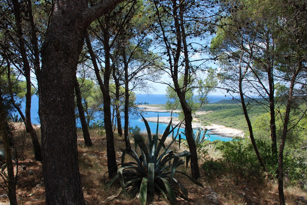
According to CORINE Land Cover (2018), the site is mainly made up of farmland (71%), forests (11%) and Mediterranean scrub (9%). The site borders the coast. Elevation ranges from sea level to 72 m (highest point: Serra delle Fontane). The Natura 2000 site overlapping the area lists 7 habitats of European interest (3 priority), the most extensive being Posidonia beds (Posidonion oceanicae), Brachypodietalia dune grasslands with annuals and wooded dunes with Pinus pinea and/or Pinus pinaster.
Based on occurrences aggregated by GBIF, several species are regularly recorded within the site. Among the most frequent are Pistacia lentiscus (Mastic Tree), Myrtus communis (Common myrtle), Eryngium maritimum (Sea-holly) and Fulica atra (Common Coot). The full list of documented taxa is shown below. The overlapping Natura 2000 site lists 6 species of European interest: 4 reptiles, 1 amphibian and 1 plant.
From the official form of the Natura 2000 site overlapping the area (areas reported for the whole site).
Four-lined snake (Elaphe quatuorlineata), Western Whip Snake (Hierophis viridiflavus), Italian wall lizard (Podarcis siculus), European ratsnake (Zamenis situla)
Stipa austroitalica
Source: Natura 2000 standard data forms (EEA, CC-BY 4.0). Not exhaustive: sensitive species are not published.
Plant
55 records © Franz Eugen Köhler, Köhler's Medizinal-Pflanzen · Public domain
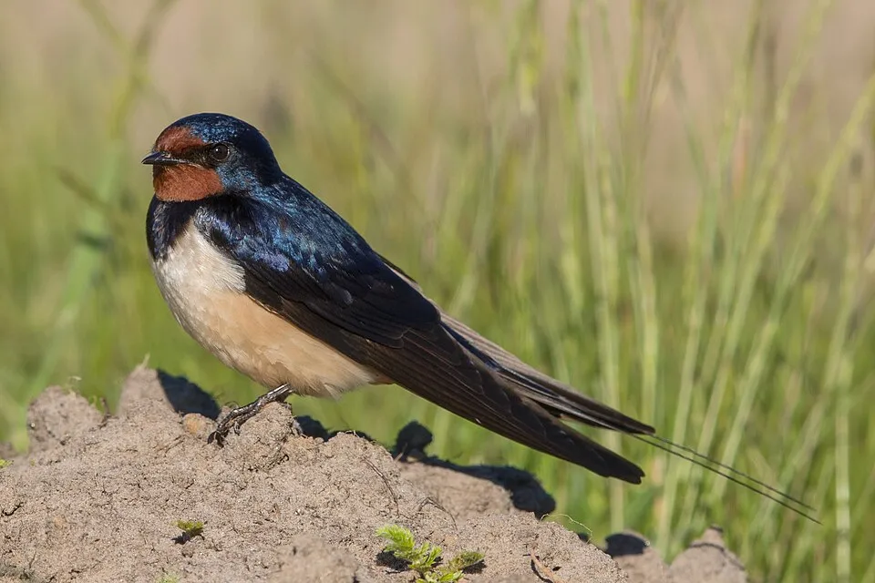
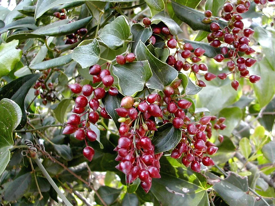
Occurrences documented via GBIF; they are neither an exhaustive inventory nor proof of current presence.
Records: GBIF.org (CC-BY). Names: Wikidata (CC0), GBIF. Photos: Wikimedia Commons.
The primary purpose of the site is to preserve its natural habitats and the biodiversity they support. The species recorded (Biodiversity tab) reflect its ecological value. The designations it holds frame its management and the control of land use.
According to Global Forest Change data (University of Maryland, Global Forest Watch), about 39 ha of tree cover were lost within the boundary between 2001 and 2023 (2% of its area), peaking in 2003 and 2023. These losses include logging, storms and fires, and do not account for regrowth. According to CORINE Land Cover, land cover here remained almost unchanged between 1990 and 2018 (less than 0.5% of the area affected). Since 2016, the European EFFIS system (Copernicus) has mapped 2 fires here, burning about 58 ha within the boundary; the largest, in July 2024 (near Ugento), covered 45 ha. At night, 100% of the area gives off artificial light detectable from space (NASA VIIRS Black Marble composite, 2016). Built-up and developed land (buildings, business areas, roads, quarries) covers 4% of the area, and farmland 71% (CORINE Land Cover). According to the Natura 2000 forms, of 7 assessed habitats of European interest, 5 are in excellent condition and 1 in average or reduced condition.
39 ha
2001–2023 · 2% of the area
58 ha
burned within the boundary (2 mapped fires)
100%
of the area gives off artificial light visible from space
4%
buildings, business areas, roads, quarries · farmland 71%
< 0.5%
of the area changed, 1990–2018 · CORINE
Sources: Global Forest Change (Hansen et al., University of Maryland, via Global Forest Watch, CC-BY 4.0); EFFIS, European Commission / Copernicus; NASA Black Marble 2016 (public domain); CORINE Land Cover 2018 (Copernicus) or MODIS.
CORINE Land Cover Change 1990–2018: generated using European Union's Copernicus Land Monitoring Service information (EEA), aggregated by Parkavela; DOI 10.2909/f30f1000-7cf8-43bb-872c-5eb093911b24.
Data © OpenStreetMap contributors (ODbL) · Wikidata (CC0)
6 monitored bathing sites in or within 1 km of the site · 2025 classification
Source: European Environment Agency, official bathing water classification (Directive 2006/7/EC, CC-BY 4.0). Swimming is only permitted at the sites and times authorised locally.
The nearest railway station is Ugento-Taurisano, about 6 km from the site boundary. Nearest towns of over 50,000 people, as the crow flies: Calimera (40 km) and Lecce (50 km). Nearest airport: Brindisi – Salento (BDS), about 84 km away. About 210,000 people live within 20 km of the site boundary, 73,000 of them within 10 km; some 100 people are estimated to live inside (GHSL estimate, 2020). This population has fallen by about 6% since 2000. To see: 1 viewpoint and 1 lake or pond, including Bacino Spunderati Sud. To plan a visit (access, opening periods, visitor rules), it is best to consult the official information from the managing body and the official website listed in this page's sources.
Source: OpenStreetMap (ODbL), Wikidata (CC0), October 2026.
Best time to visit: from April to June, with average temperatures of 14 to 24 °C and moderate rainfall. Precipitation peaks in October and November (up to 110 mm per month). Day length ranges from about 9 h 21 min in December to 14 h 59 min in June. Wildlife records published on GBIF peak for birds (December and January), plants (from June to September) and dragonflies (July). These peaks also reflect when observers are most active.
Source: Copernicus ERA5-Land (C3S), monthly averages 1996–2025 at the representative point, temperatures adjusted for elevation.
Contains modified Copernicus Climate Change Service information 2026. Neither the European Commission nor ECMWF is responsible for any use that may be made of the Copernicus information or data it contains.
Monthly records published on GBIF (CC-BY), relative to the busiest month; also reflects observer activity.
Data © OpenStreetMap contributors (ODbL), Wikidata (CC0) and the sources cited.