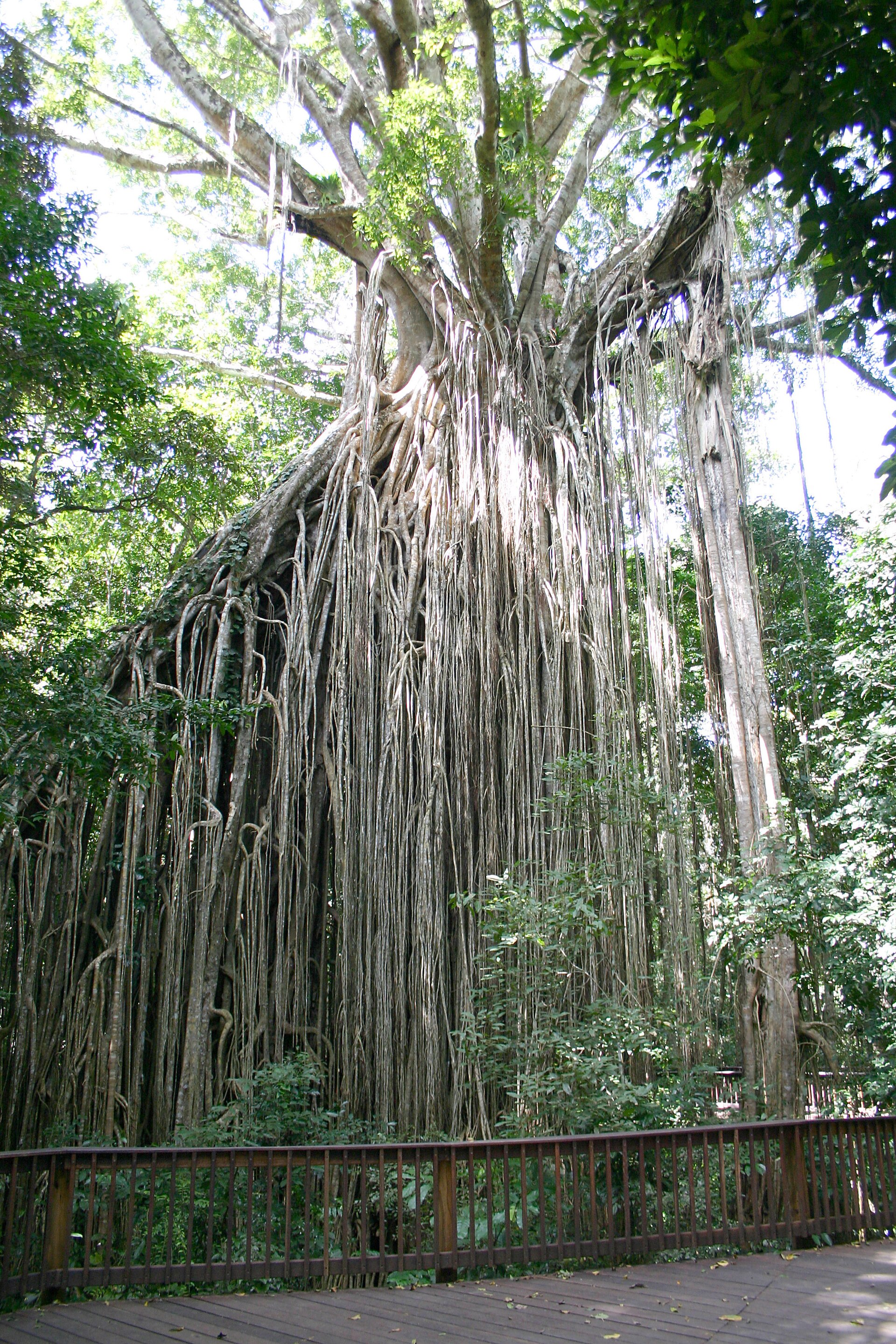
Australia · Terrestrial
Yungaburra National Park
National park of 5 hectares in Australia, established in 1953.
Overview
National park of 5 hectares in Australia, established in 1953.
Yungaburra National Park is located in Australia (Oceania). It is a predominantly terrestrial area. Established in 1953, it covers about 5 hectares. The site is managed by Queensland Parks and Wildlife Service.
Frequently asked questions
Where is Yungaburra National Park?
In Australia (Oceania). Representative point: 17.2878° S, 145.5708° E.
How large is Yungaburra National Park?
About 5 hectares. It is the 678th largest of the 678 national parks in Australia covered by Parkavela.
When was Yungaburra National Park established?
In 1953.
What habitats and landscapes does Yungaburra National Park include?
A terrestrial area.
When is the best time to visit Yungaburra National Park?
Best time to visit: from May to November, with average temperatures of 16 to 23 °C and moderate rainfall.
What is the nearest large city to Yungaburra National Park?
Nearest towns of over 50,000 people, as the crow flies: Cairns (46 km). Nearest airport: Cairns (CNS), about 49 km away.
How can I reach Yungaburra National Park by train?
The nearest railway station is Herberton Historic Village, about 22 km from the site boundary.
Where can I get visitor information on site?
Yungaburra Visitor Information Centre.
Which species can be seen in Yungaburra National Park?
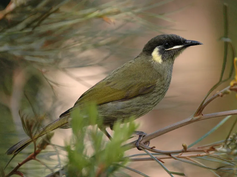
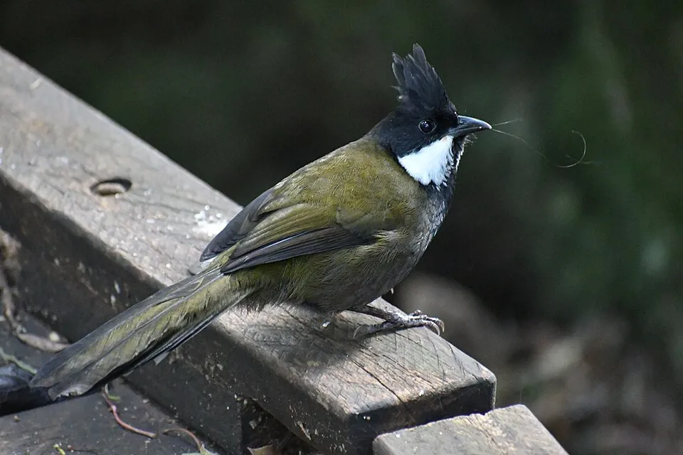
Among the species most often recorded on GBIF are Meliphaga lewinii (Lewin's Honeyeater), Alectura lathami (Australian Brushturkey), Psophodes olivaceus (Eastern Whipbird) and Gerygone mouki (Brown Gerygone).
Who manages Yungaburra National Park?
Queensland Parks and Wildlife Service.
© OpenStreetMap
Download the boundary: GeoJSON · GPX Boundary © OpenStreetMap contributors (ODbL).
Geography
The representative point of the site lies at around 718 m above sea level. Over the 1996–2025 period, the mean annual temperature is about 20.3 °C and total precipitation reaches roughly 1,510 mm per year. The warmest month is usually January, the coolest July, and the wettest February.
Area
- Area
- 5 ha
- Elevation
- 718 m
- Coordinates
- -17.2878, 145.5708
Climate
● Mean temperature (°C) · ▮ Precipitation (mm)
Source: Copernicus ERA5-Land (C3S, doi:10.24381/cds.68d2bb30), monthly averages 1996–2025 interpolated to the representative point, temperatures adjusted for elevation.
Contains modified Copernicus Climate Change Service information 2026. Neither the European Commission nor ECMWF is responsible for any use that may be made of the Copernicus information or data it contains.
Biodiversity
Based on occurrences aggregated by GBIF, several species are regularly recorded within the site. Among the most frequent are Meliphaga lewinii (Lewin's Honeyeater), Alectura lathami (Australian Brushturkey), Psophodes olivaceus (Eastern Whipbird) and Gerygone mouki (Brown Gerygone). The full list of documented taxa is shown below.
Species to look out for
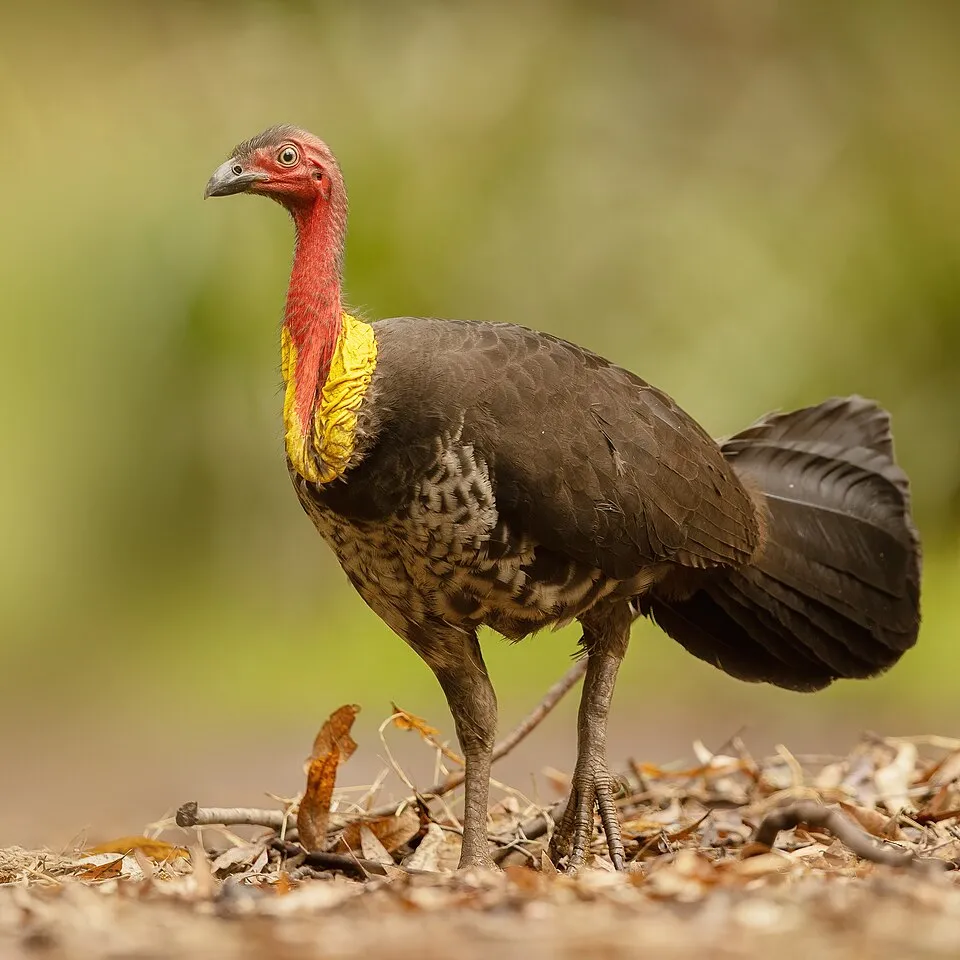
Bird
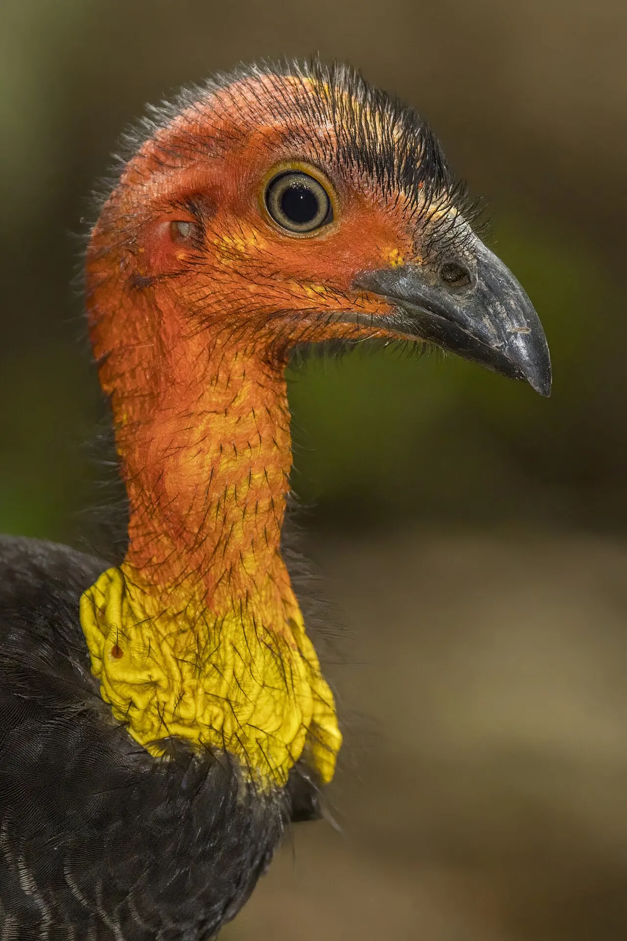
Australian Brushturkey
Alectura lathami10,821 records © JJ Harrison (https://www.jjharrison.com.au/) · CC BY-SA 4.0

Observed species
Occurrences documented via GBIF; they are neither an exhaustive inventory nor proof of current presence.
- Lewin's Honeyeater · Meliphaga lewinii · 12217
- Australian Brushturkey · Alectura lathami · 10821
- Eastern Whipbird · Psophodes olivaceus · 7274
- Brown Gerygone · Gerygone mouki · 7184
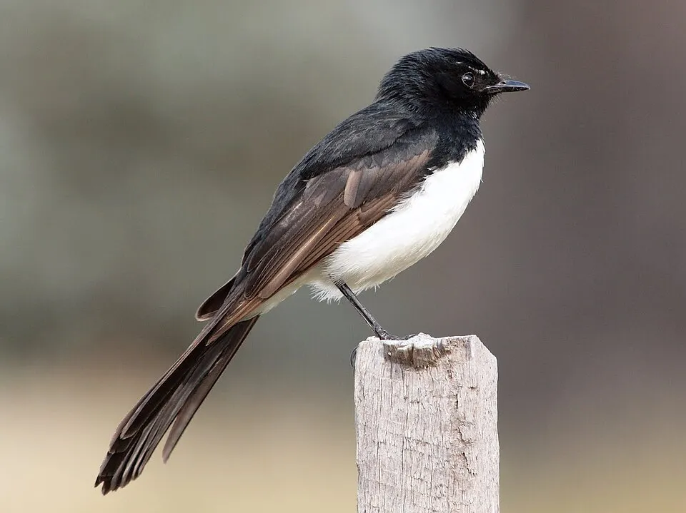
- Willie Wagtail · Rhipidura leucophrys · 7060
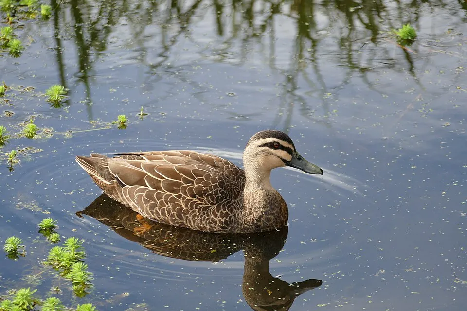
- Pacific Black Duck · Anas superciliosa · 7055
- Little Shrikethrush · Colluricincla megarhyncha · 6219
- Spotted Catbird · Ailuroedus maculosus · 6206
- Victoria's Riflebird · Ptiloris victoriae · 6119
- Grey-headed Robin · Heteromyias cinereifrons · 6025
- Australasian Swamphen · Porphyrio melanotus · 6024
- Coconut Lorikeet · Trichoglossus haematodus · 5963
+18 more species
- Sulphur-crested Cockatoo · Cacatua galerita · 5927
- Magpie-lark · Grallina cyanoleuca · 5922
- Brown Cuckoo-Dove · Macropygia phasianella · 5834
- Spectacled Monarch · Symposiachrus trivirgatus · 5615
- Peaceful Dove · Geopelia placida · 5152
- Australasian Figbird · Sphecotheres vieilloti · 5117
- Masked Lapwing · Vanellus miles · 5112
- Silvereye · Zosterops lateralis · 5100
- Orange-footed Scrubfowl · Megapodius reinwardt · 4892
- Little Black Cormorant · Phalacrocorax sulcirostris · 4674
- Golden Whistler · Pachycephala pectoralis · 4658
- Common Coot · Fulica atra · 4568
- Australasian Grebe · Tachybaptus novaehollandiae · 4518
- Large-billed scrubwren · Sericornis magnirostra · 4346
- Hardhead · Aythya australis · 4247
- Welcome Swallow · Hirundo neoxena · 4205
- Grey Fantail · Rhipidura albiscapa · 4056
- Laughing Kookaburra · Dacelo novaeguineae · 4042
Records: GBIF.org (CC-BY). Names: Wikidata (CC0), GBIF. Photos: Wikimedia Commons.
Conservation challenges
The primary purpose of the site is to preserve its natural habitats and the biodiversity they support. The species recorded (Biodiversity tab) reflect its ecological value. Its status as a national park sets the regulatory framework for its protection.
Since 2000, 68 invasive alien species have been recorded within the site (GBIF observations). Among them: Acridotheres tristis (Common myna), Spilopelia chinensis (Spotted Dove) and Columba livia (Rock Dove).
Pressure indicators
Invasive alien species
68
recorded since 2000
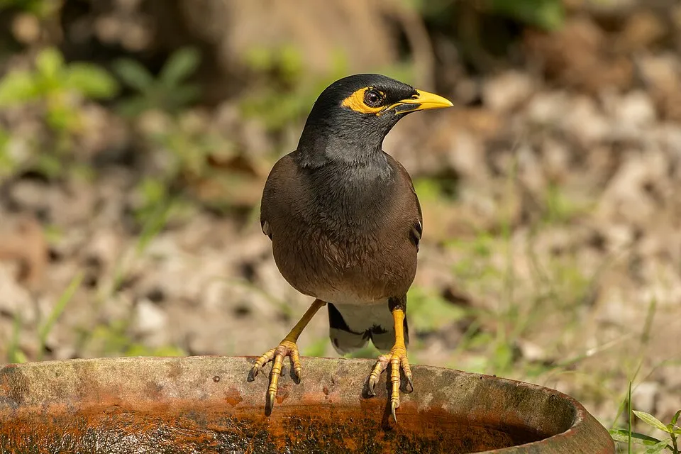 Common myna
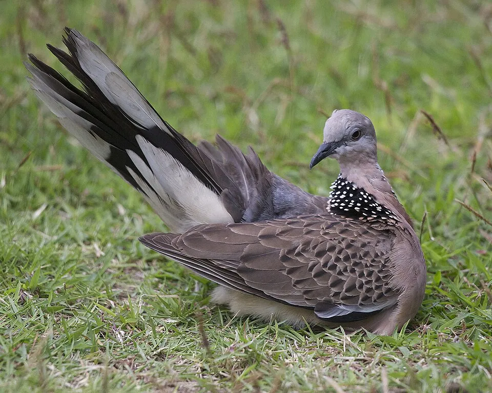 Spotted Dove
 Rock Dove
 Red Junglefowl
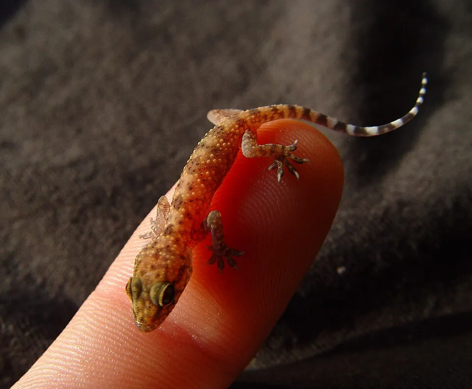 Common house gecko
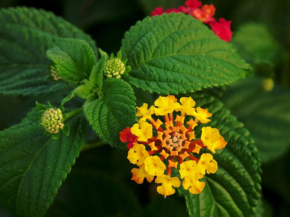 Lantana
 Octopus tree
Photos: Common myna © Tisha Mukherjee · CC BY-SA 4.0; Spotted Dove © Lip Kee from Singapore, Republic of Singapore · CC BY-SA 2.0; Rock Dove © william_stephens · CC BY 4.0; Red Junglefowl © Dibyendu Ash · CC BY-SA 3.0; Common house gecko © Hexasoft · CC BY-SA 3.0; Lantana © Alvesgaspar · CC BY-SA 3.0; Octopus tree © coenobita · CC BY 4.0
Sources: Global Forest Change (Hansen et al., University of Maryland, via Global Forest Watch, CC-BY 4.0); EFFIS, European Commission / Copernicus; NASA Black Marble 2016 (public domain); CORINE Land Cover 2018 (Copernicus) or MODIS.
Invasive alien species: Global Register of Introduced and Invasive Species (ISSG, CC BY 4.0); Union list, Regulation (EU) 1143/2014 (INBO, CC0); GBIF.org records (CC0 / CC BY 4.0), at least 2 per species.
Practical information
Cities and airport
- Cairns
46 km as the crow flies - Airport: Cairns (CNS)
49 km as the crow flies
Visitor information
- Yungaburra Visitor Information Centre
within the site
Data © OpenStreetMap contributors (ODbL) · Wikidata (CC0)
Access and visiting
The nearest railway station is Herberton Historic Village, about 22 km from the site boundary. Nearest towns of over 50,000 people, as the crow flies: Cairns (46 km). Nearest airport: Cairns (CNS), about 49 km away. Visitor information on site: Yungaburra Visitor Information Centre. To plan a visit (access, opening periods, visitor rules), it is best to consult the official information from the managing body (Queensland Parks and Wildlife Service) and the official website listed in this page's sources.
Source: OpenStreetMap (ODbL), Wikidata (CC0), November 2026.
When to visit
Best time to visit: from May to November, with average temperatures of 16 to 23 °C and moderate rainfall. Precipitation peaks from December to April (up to 290 mm per month). Day length ranges from about 11 h 06 min in June to 13 h 09 min in December.
Source: Copernicus ERA5-Land (C3S), monthly averages 1996–2025 at the representative point, temperatures adjusted for elevation.
Contains modified Copernicus Climate Change Service information 2026. Neither the European Commission nor ECMWF is responsible for any use that may be made of the Copernicus information or data it contains.
Gallery
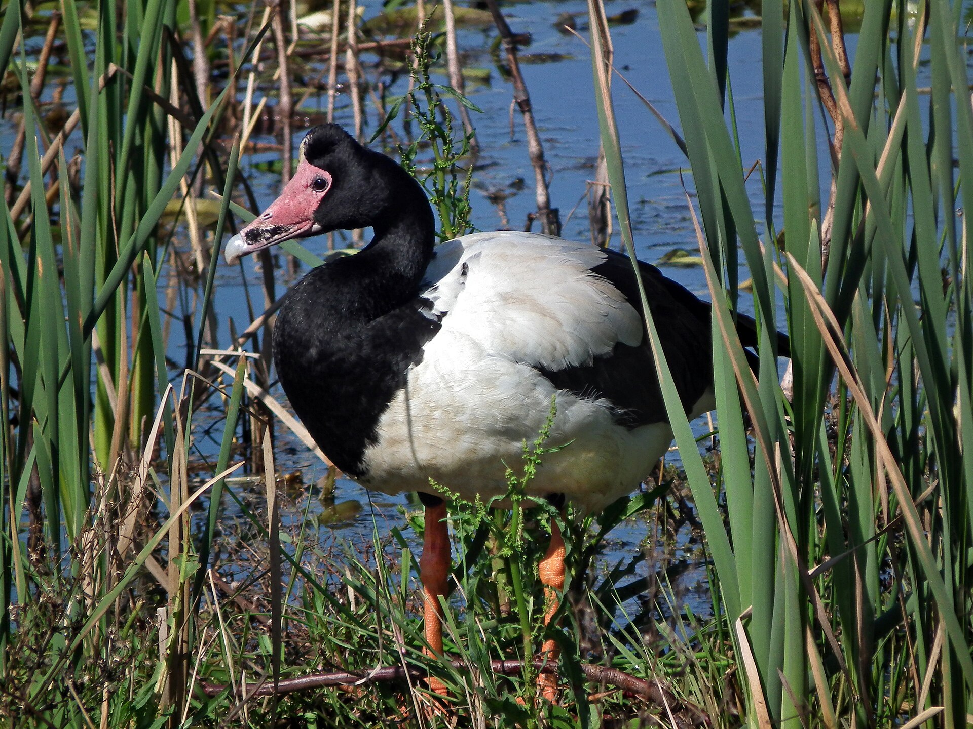
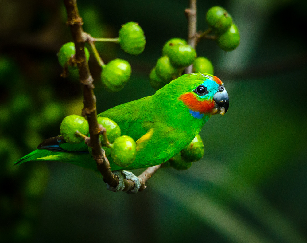
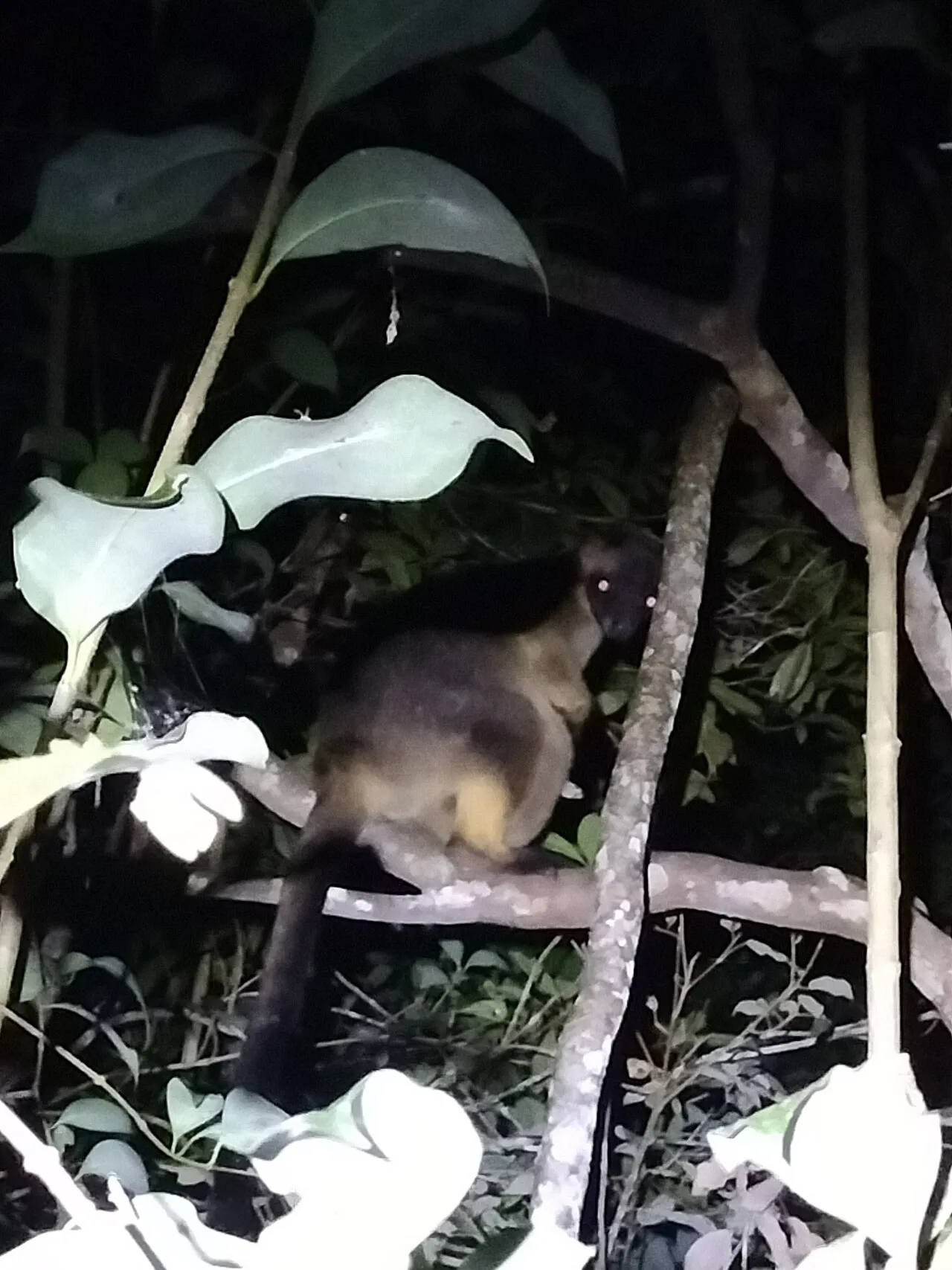
© Mike Lehmann · CC BY-SA 3.0
© tjeales · CC BY-SA 4.0
© Matthew Borella · CC BY 4.0
© Charles J. Sharp · CC BY-SA 4.0
© Matthew Borella · CC BY 4.0
© Charles J. Sharp · CC BY-SA 4.0
Sources and licences
- Wikidata: Q2483381
- OpenStreetMap: relation 8452803
- Wikipedia: en.wikipedia.org/wiki/Yungaburra_National_Park
- WDPA: 24281
References
- cds.climate.copernicus.eu: climate · CC-BY-4.0
- registry.opendata.aws: elevation of the reference point · PD
- land.copernicus.eu: land cover · COPERNICUS
- naturalearthdata.com: sea share · PD
- wikidata.org: official area, establishment date, managing body, official name, nearby cities and airport · CC0-1.0
- opentopodata.org: elevations · PD
- gbif.org: invasive alien species, observed species · CC-BY-4.0
- openstreetmap.org: access and peaks · ODbL-1.0
- nsidc.org: snow cover · PD
- wikidata.org: Wikipedia article · CC-BY-SA-4.0
Data © OpenStreetMap contributors (ODbL), Wikidata (CC0) and the sources cited.