
Plant
Maize: where to see it
Zea mays
This plant species is recorded in 14 protected areas of the atlas. Within the atlas countries, it is mostly observed in Romania, France and Spain (21 countries in all). Most records (8 in 10) lie between 60 and 700 m above sea level. Records peak from May to July. Annual plant, native to North America and South and Central America, introduced to Europe, Africa, temperate Asia, tropical Asia, Australasia and the Pacific.
Best time to see it: May–July
Records published on GBIF by month (CC0 and CC BY 4.0 licences only), in the atlas countries, all years combined; they also reflect observer activity.
Distribution
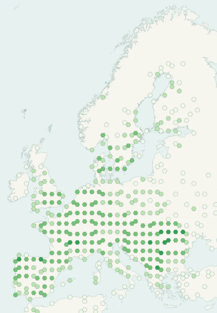
Records published on GBIF (CC0 and CC BY 4.0 licences): the darker the shade, the more records there are; they also reflect observation effort.
Atlas countries where it is recorded
Listen
-
0:59 · © GodswillSE · CC BY-SA 4.0 · Wikimedia Commons · Original file
-
0:40 · © Gometxak5 · CC BY-SA 4.0 · Wikimedia Commons · Original file
-
0:09 · © Gometxak5 · CC BY-SA 4.0 · Wikimedia Commons · Original file
From Wikipedia
Maize (US: MAYS; Latin: Zea mays), also known as corn, is a tall stout grass that produces cereal grain. The leafy stalk of the plant gives rise to male inflorescences or tassels which produce pollen, and female inflorescences called ears. The ears yield grain, known as kernels or seeds. In modern commercial varieties, these are usually yellow or white; other varieties can be of many colors. Maize was domesticated by indigenous peoples in southern Mexico about 9,000 years ago from wild teosinte. Native Americans planted it alongside beans and squashes in the Three Sisters polyculture.
Source: Wikipedia, article “Maize” (version of October 22, 2026) · history and authors · licence CC BY-SA 4.0 · shortened excerpt
Protected areas where it is recorded

192 records

118 records
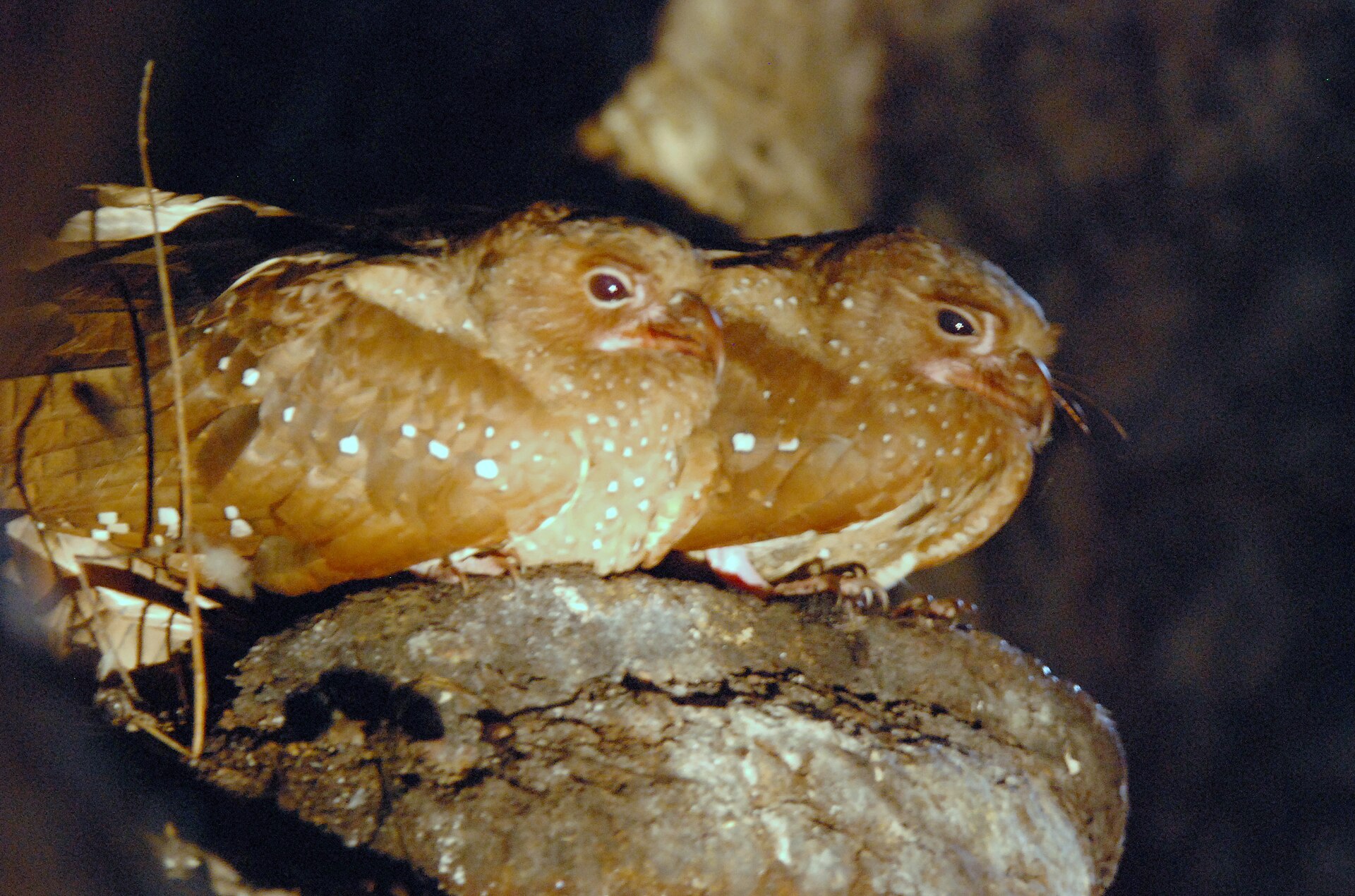
116 records
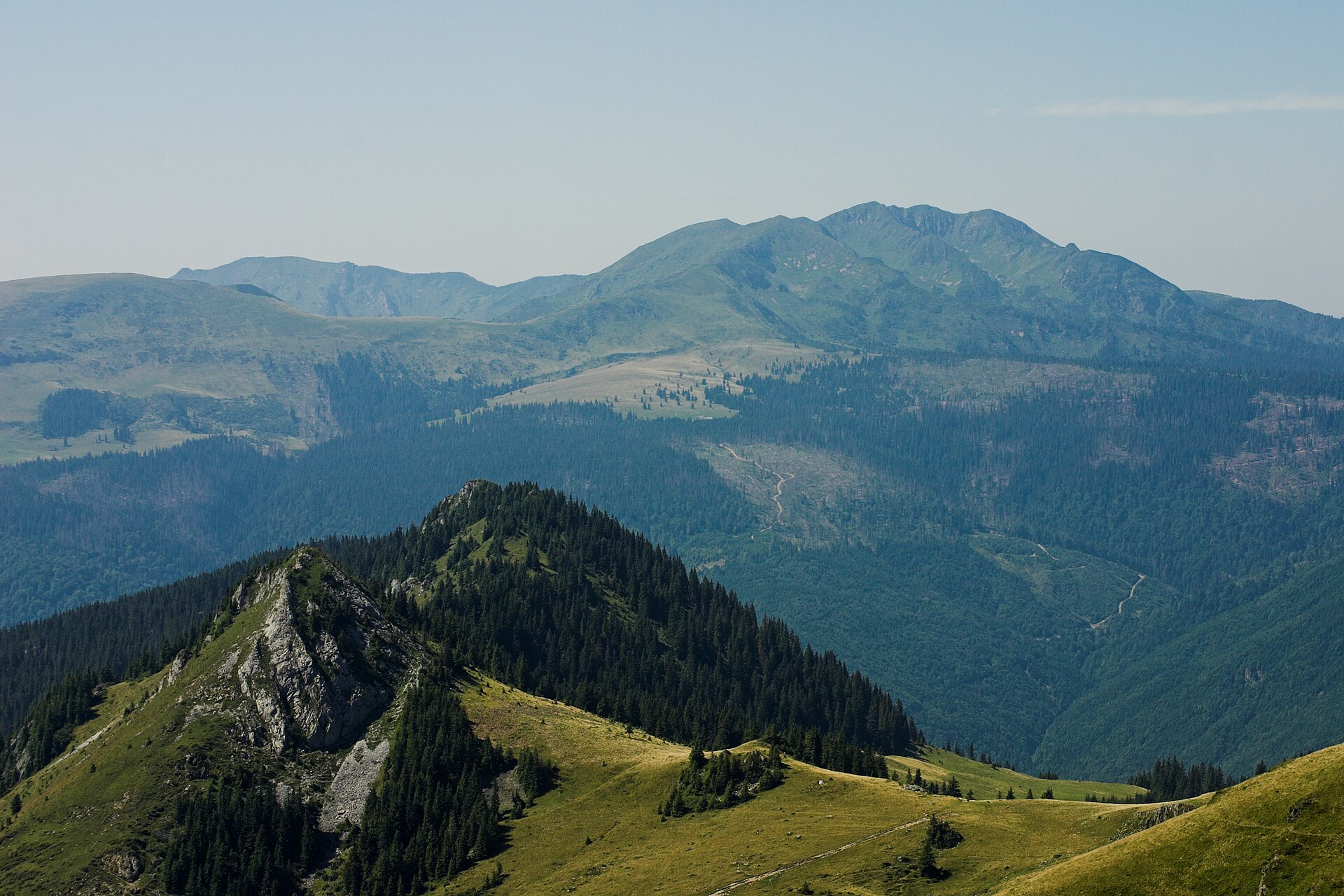
88 records

60 records
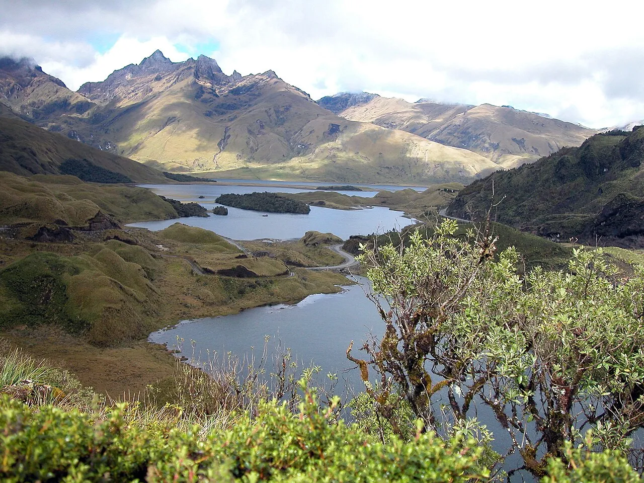
47 records
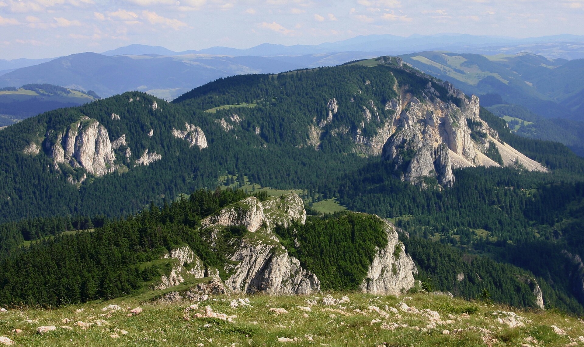
16 records
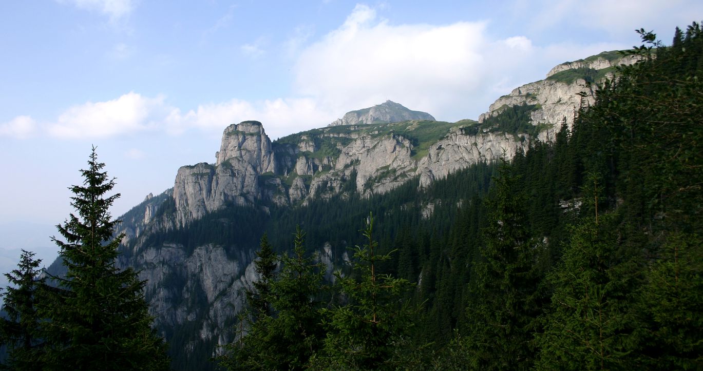
14 records
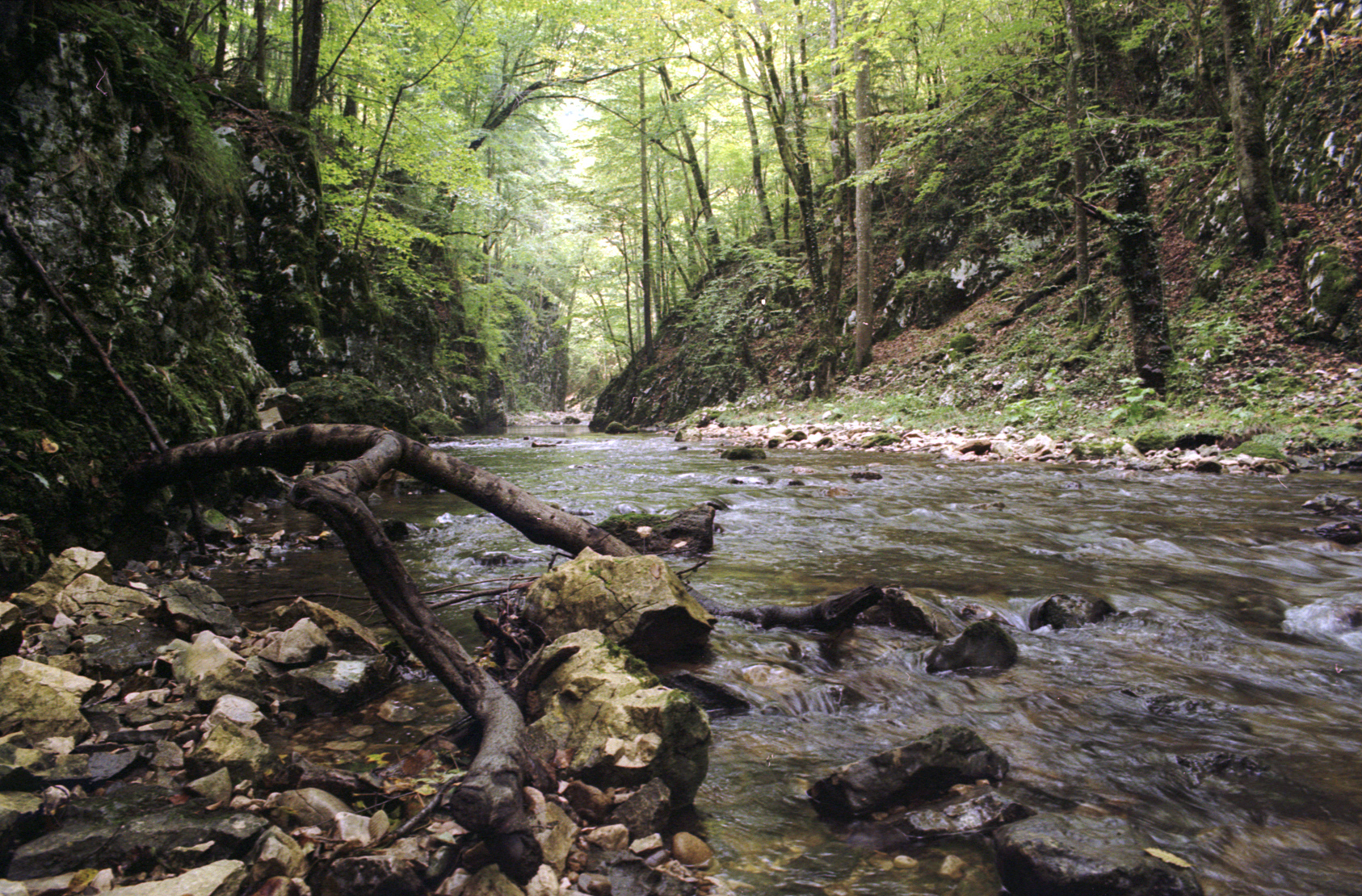
12 records
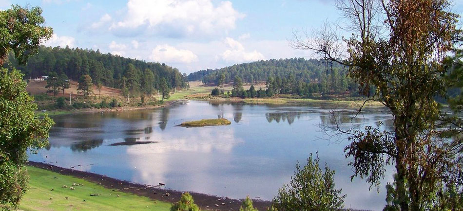
11 records
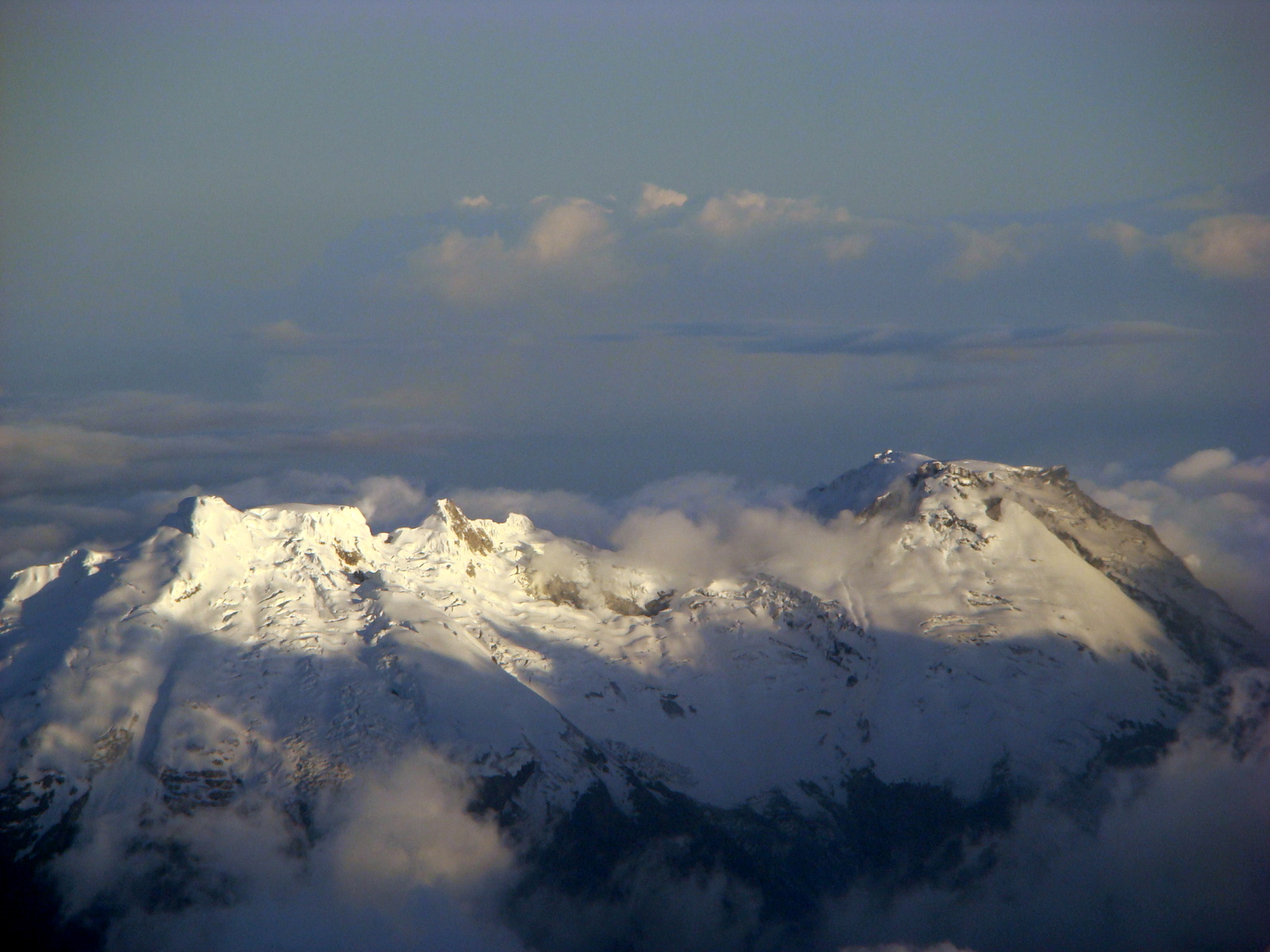
9 records
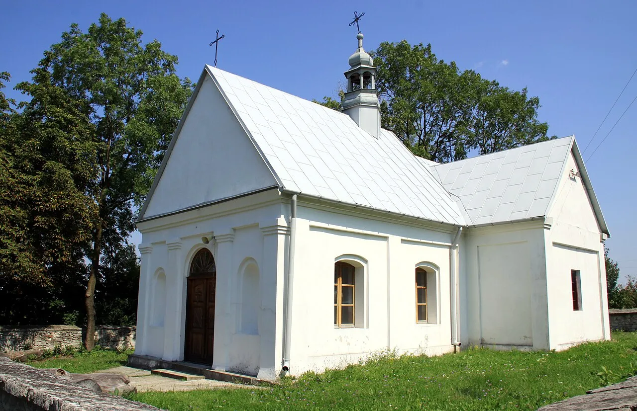
8 records
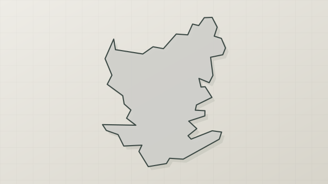
7 records
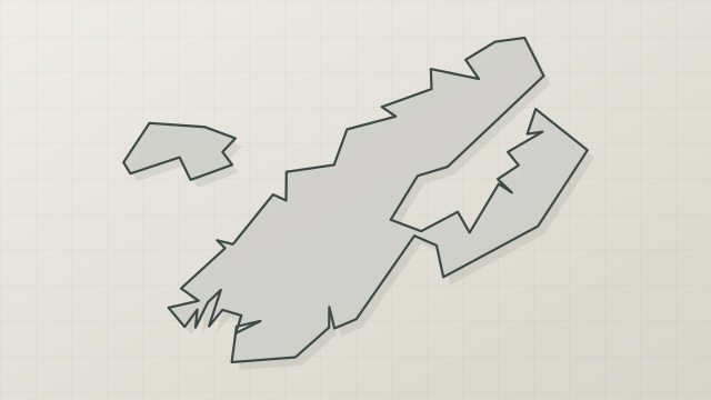
4 records
Other species to discover
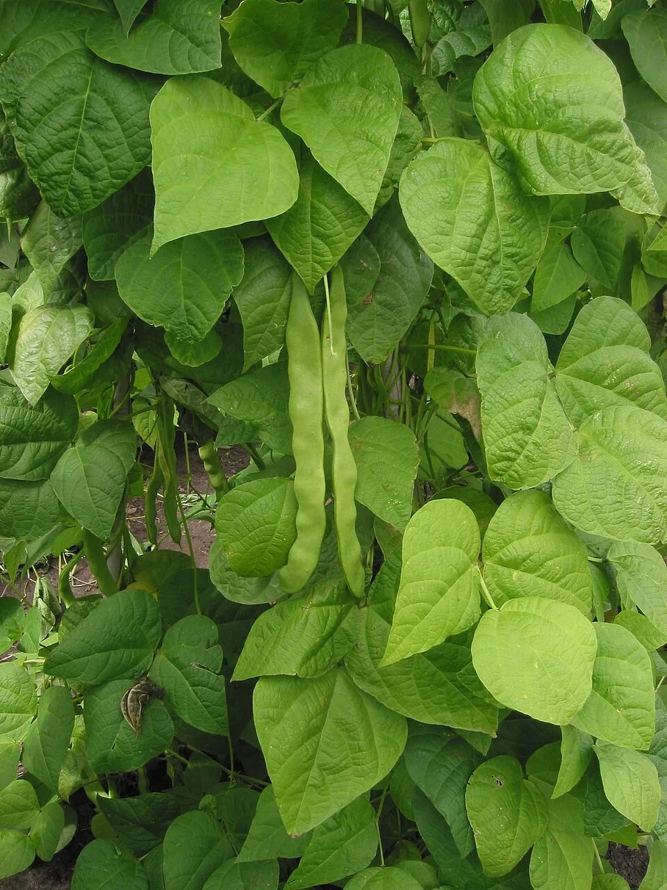 Kidney bean
Phaseolus vulgaris 4 places in common
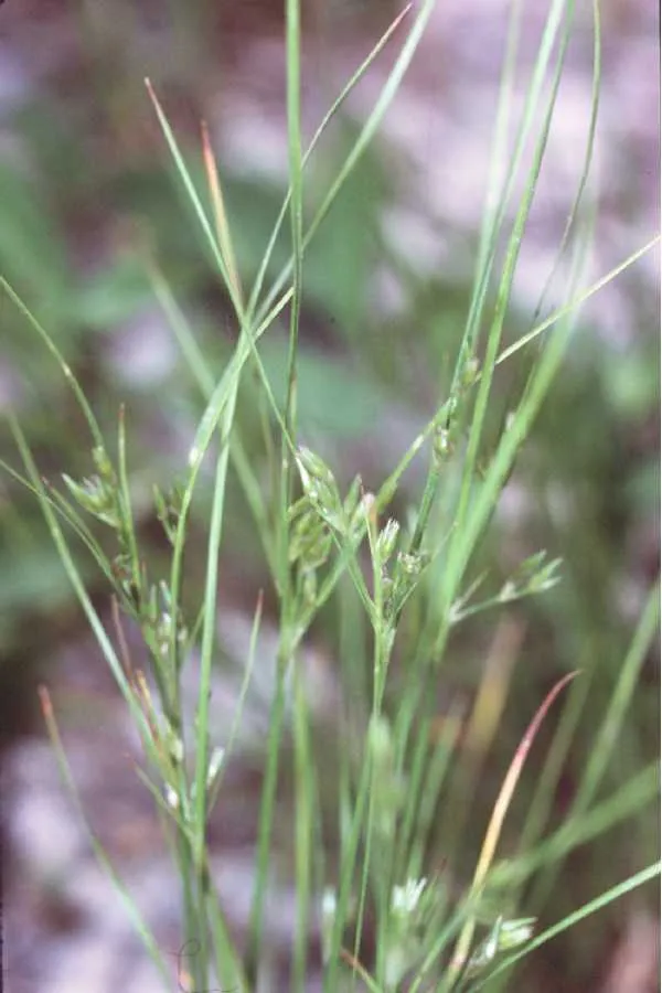 Slender rush
Juncus tenuis 2 places in common
 Canada Horseweed
Erigeron canadensis 2 places in common
 Japanese Knotweed
Reynoutria japonica 2 places in common
 Black locust
Robinia pseudoacacia 2 places in common
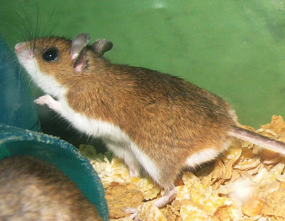 North American Deermouse
Peromyscus maniculatus 2 places in common
Sources and credits
- Presence: most-recorded species of each place on GBIF and species of Community interest in the Natura 2000 forms (EEA, CC-BY 4.0); absence from the list does not mean the species is absent.
- Common names: Wikidata (CC0) and GBIF.
- Photos and sounds: Wikimedia Commons, author and licence given for each file.
- Classification: GBIF Backbone Taxonomy (GBIF Secretariat), CC BY 4.0, doi:10.15468/39omei.
- Countries, elevations, months and maps: GBIF.org, CC0 or CC BY 4.0 occurrences only, accessed October 22, 2026, GBIF.org.
- Base map: Natural Earth (public domain).
- Excerpt: Wikipedia, CC BY-SA 4.0 (full credit below the excerpt).
- Native range and life form: World Checklist of Vascular Plants, Royal Botanic Gardens, Kew, CC BY 4.0 (no endorsement by Kew).