Romania · Terrestrial
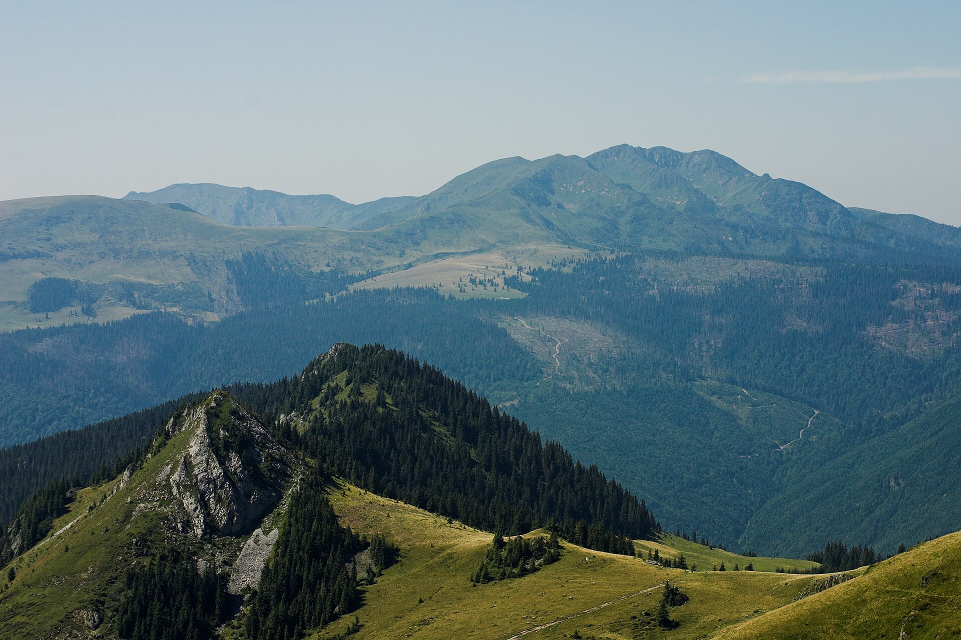
Maramureș Mountains Natural Park
Nature park of 133,450 hectares in Romania, established in 2005.
Overview
Nature park of 133,450 hectares in Romania, established in 2005.
Maramureș Mountains Natural Park is a nature park in Romania (Europe). It is a predominantly terrestrial area. Established in 2005, it covers about 133,450 hectares.
Protections and designations
Natura 2000 · habitats (SAC)
- Munții Maramureșului ROSAC0124
Natura 2000 · birds (SPA)
- Munții Maramureșului ROSPA0131
Protected as a nature park. International labels and designations: Natura 2000 network (2 sites).
In our collections
Frequently asked questions
Where is Maramureș Mountains Natural Park?
In Romania (Europe). Representative point: 47.7830° N, 24.5640° E.
How large is Maramureș Mountains Natural Park?
About 133,450 hectares (1,335 km²). It is the largest of the 5 nature parks in Romania covered by Parkavela.
When was Maramureș Mountains Natural Park established?
In 2005.
What habitats and landscapes does Maramureș Mountains Natural Park include?
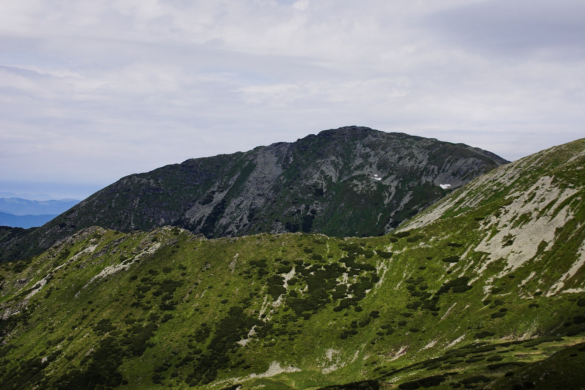
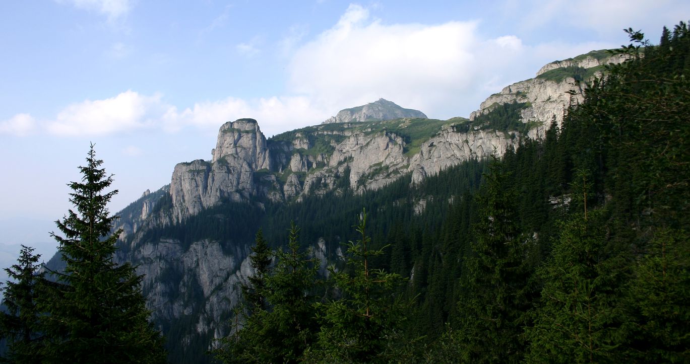
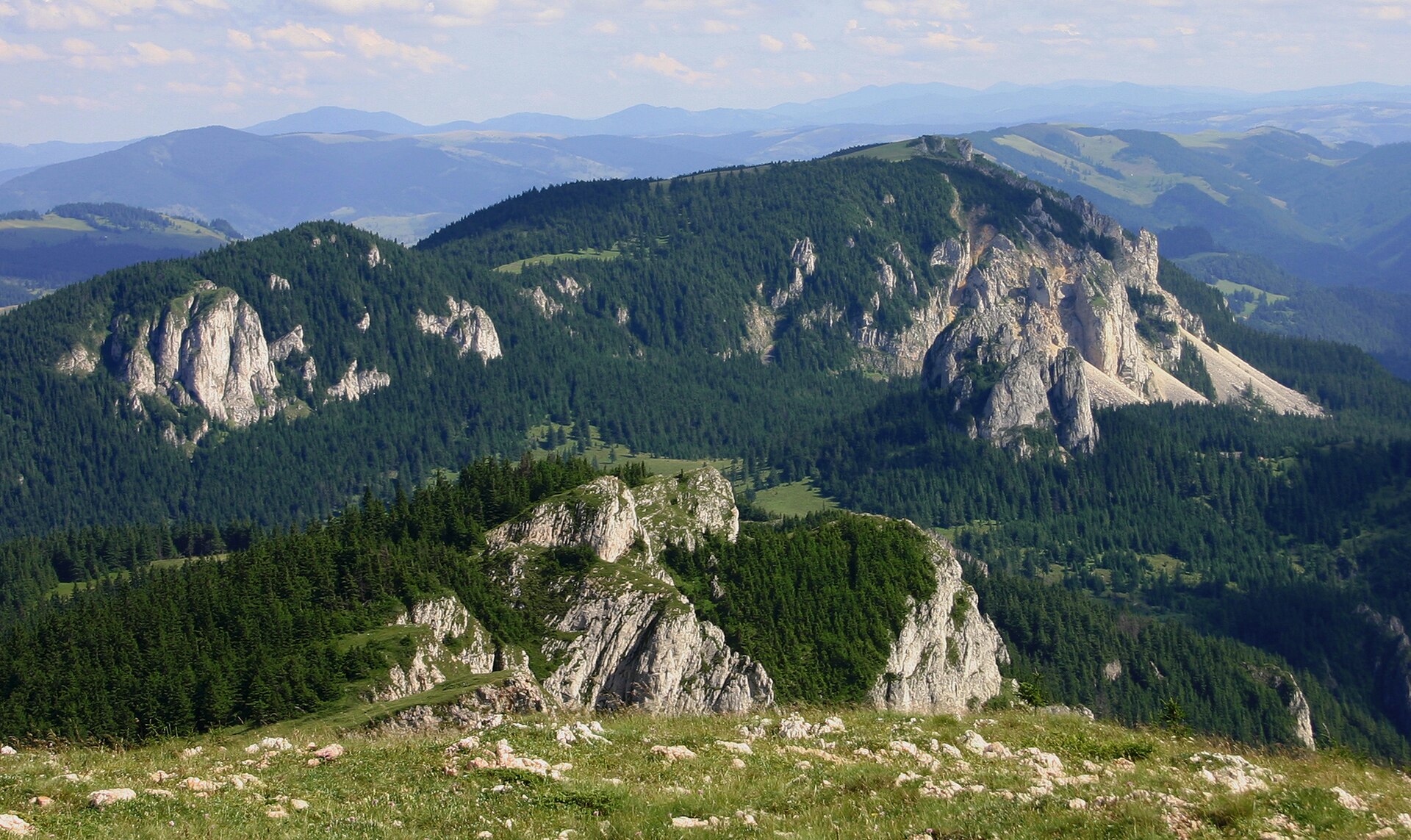
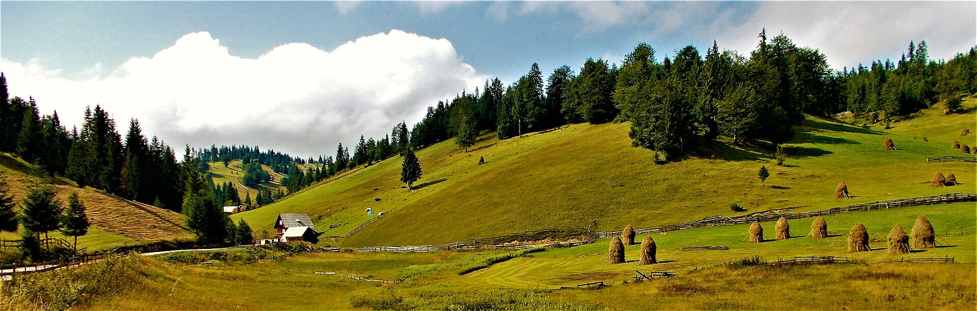
A terrestrial area, with forests and mountains.
What is the highest point of Maramureș Mountains Natural Park?
Farcău, at 1,961 m (OpenStreetMap).
What are the main summits of Maramureș Mountains Natural Park?
Farcău (1,961 m), Pip Ivan Marmaros (1,938 m), Toroiaga (1,927 m), Mihailecu (1,916 m) and Jupania (1,853 m) (OpenStreetMap).
Which international labels apply to Maramureș Mountains Natural Park?
Natura 2000 network (2 sites).
When is the best time to visit Maramureș Mountains Natural Park?
Mildest period: from June to August, with average temperatures of 13 to 15 °C.
Is there snow in Maramureș Mountains Natural Park?
Yes. According to NASA's MODIS satellites (2015–2025 average), snow covers most of the site from December to March, and until April on higher ground, with about 120 snow-covered days a year on average.
Are there historic monuments in Maramureș Mountains Natural Park?
Yes. According to Wikidata, one monument listed in the Romanian List of Historic Monuments stands within the boundary. For example: “Clădirea Haltei Cozia”.
What is the nearest large city to Maramureș Mountains Natural Park?
Nearest towns of over 50,000 people, as the crow flies: Baia Mare (50 km) and Bistrița (58 km). Nearest airport: Suceava (SCV), about 103 km away.
How can I reach Maramureș Mountains Natural Park by train?
Leordina hc. railway station lies within the site.
Where can I get visitor information on site?
CNIPT.
Are there waymarked hiking trails in Maramureș Mountains Natural Park?
Yes. Waymarked hiking routes listed in OpenStreetMap: 18, including Transcarpathian tourist path, Drumul Maramureșului, Pasul Prislop and C.F.F. Bardău. The “Pasul Prislop - Vf. Prislopul Cataramei - Vf. Toroiaga” route runs for about 30 km through the site, with some 1,410 m of ascent on its longest section.
Which species can be seen in Maramureș Mountains Natural Park?
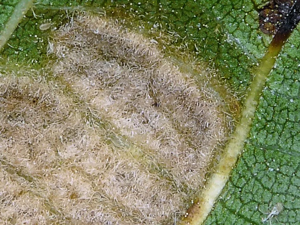
Among the species most often recorded on GBIF are Aceria erinea (Persian walnut erineum mite), Impatiens glandulifera (Himalayan Balsam), Juniperus communis (Common Juniper) and Salix herbacea (Snowbed willow).
What is the official website of Maramureș Mountains Natural Park?
© OpenStreetMap
Download the boundary: GeoJSON · GPX Boundary © OpenStreetMap contributors (ODbL).
Geography
The representative point of the site lies at around 1,225 m above sea level. Over the 1996–2025 period, the mean annual temperature is about 4.0 °C and total precipitation reaches roughly 1,220 mm per year. The warmest month is usually July, the coolest January, and the wettest July.
Area
- Area
- 133,450 ha
- Elevation
- 1,225 m
- Median elevation
- 1,144 m
- Mean slope
- 20°
- Snow cover
- ≈ 120 days a year
- Coordinates
- 47.783, 24.564
Terrain: Mapzen Terrain Tiles (SRTM, USGS)
Elevation bands
- below 500 m 1%
- 500–1,000 m 32%
- 1,000–1,500 m 57%
- 1,500–2,000 m 10%
share of the site in each elevation band (smoothed terrain model: summits are rounded off) · Terrain: Mapzen Terrain Tiles (SRTM, USGS)
Main summits
- Farcău1,961 m
- Pip Ivan Marmaros1,938 m
- Toroiaga1,927 m
- Mihailecu1,916 m
- Jupania1,853 m
- Pietrosu Bardău1,850 m
- Cearcănul1,846 m
- Cornul Nedeii1,778 m
- Dealul Negru1,756 m
- Strunga1,736 m
Data © OpenStreetMap contributors (ODbL)
Climate
● Mean temperature (°C) · ▮ Precipitation (mm)
Source: Copernicus ERA5-Land (C3S, doi:10.24381/cds.68d2bb30), monthly averages 1996–2025 interpolated to the representative point, temperatures adjusted for elevation.
Contains modified Copernicus Climate Change Service information 2026. Neither the European Commission nor ECMWF is responsible for any use that may be made of the Copernicus information or data it contains.
Snow cover measured by satellite
J
F
M
A
M
J
J
A
S
O
N
D
average share of the site under snow · snowiest parts · ≈ 120 days a year
Snow cover: MODIS/Terra MOD10CM v61 (Hall & Riggs, 2021, NASA NSIDC DAAC, doi:10.5067/MODIS/MOD10CM.061), imagery from NASA GIBS (ESDIS); 2015–2025 average, grid of about 5 km.
Natural habitats
According to CORINE Land Cover (2018), the site is mainly made up of forests (71%), grassland and meadows (14%) and heath and scrub (13%). Woodland mixes broadleaved and coniferous trees. Elevation ranges from about 760 m to 1,961 m (highest point: Farcău). Median elevation is 1,144 m, and 67% of the site lies above 1,000 m (SRTM elevation model). The terrain is steep: 11% of slopes exceed 30° (mean slope 20°). The 2 Natura 2000 sites overlapping the area list 31 habitats of European interest (7 priority), the most extensive being Dacian Beech forests (Symphyto-Fagion), acidophilous Picea forests of the montane to alpine levels (Vaccinio-Piceetea) and mountain hay meadows.
Biodiversity
Based on occurrences aggregated by GBIF, several species are regularly recorded within the site. Among the most frequent are Aceria erinea (Persian walnut erineum mite), Impatiens glandulifera (Himalayan Balsam), Juniperus communis (Common Juniper) and Salix herbacea (Snowbed willow). The full list of documented taxa is shown below. The overlapping Natura 2000 sites list 56 species of European interest: 19 birds, 9 mammals, 2 amphibians, 7 fish, 8 invertebrates and 11 plants.
Habitats of European interest
From the official forms of the 2 Natura 2000 sites overlapping the area (areas reported for each whole site).
- Dacian Beech forests (Symphyto-Fagion) 38,007 ha
- Acidophilous Picea forests of the montane to alpine levels (Vaccinio-Piceetea) 37,254 ha
- Mountain hay meadows 11,380 ha
- Luzulo-Fagetum beech forests 6,894 ha
- Bushes with Pinus mugo and Rhododendron hirsutum (Mugo-Rhododendretum hirsuti) priority 2,875 ha
- Species-rich Nardus grasslands, on silicious substrates in mountain areas (and submountain areas in Continental Europe) priority 1,850 ha
- Asperulo-Fagetum beech forests 1,412 ha
- Alpine rivers and the herbaceous vegetation along their banks 284 ha
and 23 more
Species of European interest
Birds · 19
Boreal Owl (Aegolius funereus) resident, Golden Eagle (Aquila chrysaetos) resident, Hazel Grouse (Bonasa bonasia) resident, Eurasian Eagle-owl (Bubo bubo) resident, European Nightjar (Caprimulgus europaeus) breeding, Black Stork (Ciconia nigra) breeding, Short-toed Snake Eagle (Circaetus gallicus) breeding, White-backed Woodpecker (Dendrocopos leucotos) resident, Black Woodpecker (Dryocopus martius) resident, Peregrine Falcon (Falco peregrinus) passage resident, Collared Flycatcher (Ficedula albicollis) breeding, Red-breasted Flycatcher (Ficedula parva) breeding and 7 more
Mammals · 9
Grey wolf (Canis lupus), Eurasian Beaver (Castor fiber), Eurasian otter (Lutra lutra), Eurasian Lynx (Lynx lynx), Lesser mouse-eared myotis (Myotis blythii), Greater mouse-eared bat (Myotis myotis), Greater Horseshoe Bat (Rhinolophus ferrumequinum), Lesser horseshoe bat (Rhinolophus hipposideros), Brown bear (Ursus arctos)
Amphibians · 2
Yellow-bellied toad (Bombina variegata), Montandon's newt (Triturus montandoni)
Fish · 7
Carpathian Barbel (Barbus carpathicus), European bullhead (Cottus gobio), Carpathian brook lamprey (Eudontomyzon danfordi), Huchen (Hucho hucho), Danube Gudgeon (Romanogobio uranoscopus), Balkan Golden Loach (Sabanejewia balcanica), Souffia (Telestes souffia)
Invertebrates · 8
Carabus hampei, Carabus variolosus, Carabus zawadzkii, Chilostoma banaticum, Large copper (Lycaena dispar), Transylvanian Dark Bush-cricket (Pholidoptera transsylvanica), Pseudogaurotina excellens, Rosalia longicorn (Rosalia alpina)
Plants · 11
Hairy agrimony (Agrimonia pilosa), Buxbaumia moss (Buxbaumia viridis), Campanula serrata, Lady's-slipper orchid (Cypripedium calceolus), Dicranum moss (Dicranum viride), Eleocharis carniolica, Ligularia sibirica, Fen orchid (Liparis loeselii), Meesia moss (Meesia longiseta), Poa granitica subsp. disparilis, Carpathian Tozzia (Tozzia carpathica)
Source: Natura 2000 standard data forms (EEA, CC-BY 4.0). Not exhaustive: sensitive species are not published.
Species to look out for

Observed species
Occurrences documented via GBIF; they are neither an exhaustive inventory nor proof of current presence.
- Persian walnut erineum mite · Aceria erinea · 116
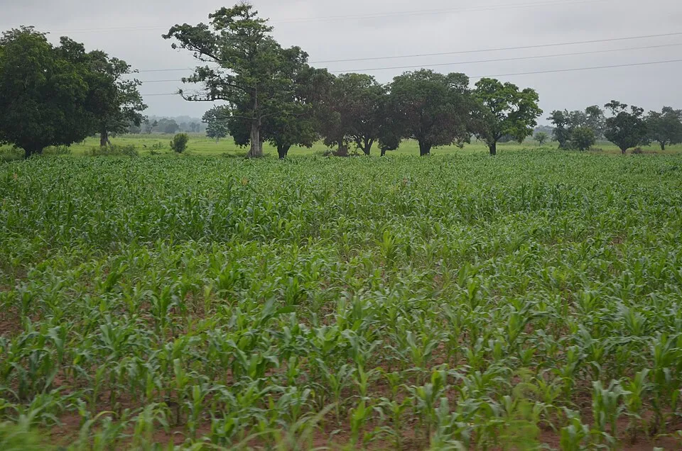
- Maize · Zea mays · 88
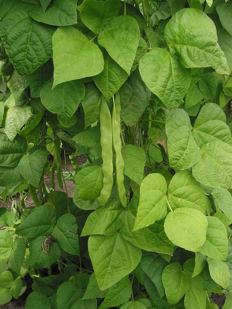
- Kidney bean · Phaseolus vulgaris · 82
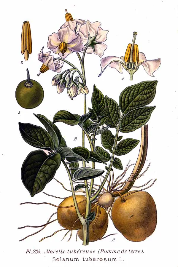
- Potato · Solanum tuberosum · 36
- Himalayan Balsam · Impatiens glandulifera · 29
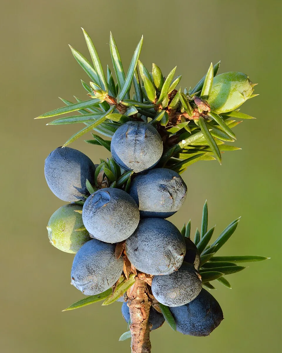
- Common Juniper · Juniperus communis · 24
- Snowbed willow · Salix herbacea · 24
- Oat · Avena sativa · 21
- Japanese Knotweed · Reynoutria japonica · 17
- Steganacarus spinosus · 14
- Canada Horseweed · Erigeron canadensis · 14
- Gammarus leopoliensis · 14
+18 more species
- Snap bean · Phaseolus coccineus · 12
- Northern Raven · Corvus corax · 11
- European bullhead · Cottus gobio · 9
- Eurasian Chaffinch · Fringilla coelebs · 8
- Yellow-bellied toad · Bombina variegata · 7
- Black Grouse · Lyrurus tetrix · 7
- Coal tit · Periparus ater · 7
- Asian Lady Beetle · Harmonia axyridis · 7
- Carpathian Barbel · Barbus carpathicus · 7
- European Alder Spittlebug · Aphrophora alni · 6
- Huchen · Hucho hucho · 6
- Common Buzzard · Buteo buteo · 6
- Water Pipit · Anthus spinoletta · 6
- Slender rush · Juncus tenuis · 6
- European Beech · Fagus sylvatica · 6
- Horseradish · Armoracia rusticana · 6
- Staghorn sumac · Rhus typhina · 6
- Bohemian knotweed · Reynoutria bohemica · 6
Records: GBIF.org (CC-BY). Names: Wikidata (CC0), GBIF. Photos: Wikimedia Commons.
Conservation challenges
The primary purpose of the site is to preserve its natural habitats and the biodiversity they support. The species recorded (Biodiversity tab) reflect its ecological value. The designations it holds frame its management and the control of land use.
According to Global Forest Change data (University of Maryland, Global Forest Watch), about 13,710 ha of tree cover were lost within the boundary between 2001 and 2023 (10% of its area), peaking in 2007 and 2012. These losses include logging, storms and fires, and do not account for regrowth. Apart from forest felling and regrowth (about 13,600 ha in total), land cover remained almost unchanged between 1990 and 2018 according to CORINE Land Cover. Since 2016, the European EFFIS system (Copernicus) has mapped 3 fires here, burning about 116 ha within the boundary; the largest, in May 2018 (near Oraş Borşa), covered 98 ha. At night, the area gives off virtually no artificial light detectable from space (NASA VIIRS Black Marble composite, 2016). According to the Natura 2000 forms, of 27 assessed habitats of European interest, 5 are in excellent condition and 7 in average or reduced condition. According to the Water Framework Directive assessment (2022 river basin management plans, data 2016–2020), 82% of the 329 km of rivers assessed within the site are in good or high ecological status. Since 2000, 14 invasive alien species have been recorded within the site (GBIF observations), 3 of them listed as of Union concern under EU Regulation 1143/2014. Among them: Impatiens glandulifera (Himalayan Balsam), Reynoutria japonica (Japanese Knotweed) and Reynoutria bohemica (Bohemian knotweed).
Pressure indicators
Tree cover lost
13,708 ha
2001–2023 · 10% of the area
20012023
Fires since 2016
116 ha
burned within the boundary (3 mapped fires)
- 2018 · Oraş Borşa · 98 ha
- 2024 · Bistra · 11 ha
- 2024 · Oraş Borşa · 7 ha
Light at night
0%
of the area gives off artificial light visible from space
DarkLit
Built-up land
< 1%
buildings, business areas, roads, quarries · farmland 1%
Land cover change
< 0.5%
of the area changed, 1990–2018 · CORINE
forest felling and regrowth: 13,600 ha in total
Rivers and lakes
82%
of the 329 km of assessed rivers in good or high ecological status · WFD 2022
assessments 2016–2020
Invasive alien species
14
incl. 3 of EU concern · since 2000
Himalayan BalsamEU
 Japanese KnotweedEU
Bohemian knotweedEU
Asian Lady Beetle
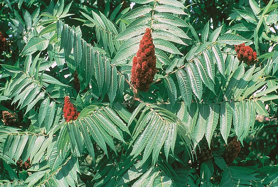 Staghorn sumac
 Black locust
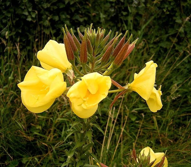 Redsepal evening primrose
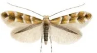 Horse-chestnut leaf miner
Photos: Himalayan Balsam © Guptaele · CC BY-SA 4.0; Japanese Knotweed © W.carter · CC0-1.0; Staghorn sumac © Muggwort17 · Public domain; Black locust © This Photo was taken by Wolfgang Moroder. Feel free to use my photos, but please mention me as the author and send me a message. This image is not in the public domain. Please respect the copyright protection. It may only be used according… · CC BY-SA 3.0; Redsepal evening primrose © Frank Vincentz · CC BY-SA 3.0; Horse-chestnut leaf miner © Carlos Lopez-Vaamonde, David Agassiz, Sylvie Augustin, Jurate De Prins, Willy De Prins, Stanislav Gomboc, Povilas Ivinskis, Ole Karsholt, Athanasios Koutroumpas, Fotini Koutroumpa, Zdeněk Laštůvka, Eduardo Marabuto, Elisenda Olivella, Luka… · CC BY 3.0
Sources: Global Forest Change (Hansen et al., University of Maryland, via Global Forest Watch, CC-BY 4.0); EFFIS, European Commission / Copernicus; NASA Black Marble 2016 (public domain); CORINE Land Cover 2018 (Copernicus) or MODIS.
CORINE Land Cover Change 1990–2018: generated using European Union's Copernicus Land Monitoring Service information (EEA), aggregated by Parkavela; DOI 10.2909/f30f1000-7cf8-43bb-872c-5eb093911b24.
Ecological status of water bodies: European Environment Agency, WISE – Water Framework Directive, 3rd river basin management plans (2022), CC BY 4.0. Official national classification, not comparable between countries.
Invasive alien species: Global Register of Introduced and Invasive Species (ISSG, CC BY 4.0); Union list, Regulation (EU) 1143/2014 (INBO, CC0); GBIF.org records (CC0 / CC BY 4.0), at least 2 per species.
Practical information
Cities and airport
- Baia Mare
50 km as the crow flies - Bistrița
58 km as the crow flies - Airport: Suceava (SCV)
103 km as the crow flies
Visitor information
- CNIPT
< 1 km from the site boundary
Hiking
18 waymarked routes listed, including:
Transcarpathian tourist pathDrumul MaramureșuluiPasul PrislopC.F.F. BardăuCabana Silvică CoșneaV. Vișeului
Data © OpenStreetMap contributors (ODbL) · Wikidata (CC0)
Waymarked hiking routes
Transcarpathian tourist path
7.6 km within the site ↗ 108 m↘ 21 m 1,680–1,789 m
Pasul Prislop - Vf. Prislopul Cataramei - Vf. Toroiaga
30.3 km within the site ↗ 1,406 m↘ 925 m 1,399–1,892 m
C.F.F. Bardău - Vf. Pecealu - Cabana Silvică Coșnea
21.2 km within the site ↗ 1,391 m↘ 1,360 m 644–1,839 m
Cabana Silvică Coșnea - Vârful Mihailecu - Lacul Vinderel
9.8 km within the site ↗ 210 m↘ 1,038 m 849–1,885 m
V. Vișeului - Cabana Paltin - Cantonul Silvic Repedea
26.8 km within the site ↗ 1,044 m↘ 917 m 441–1,157 m
Șesuri - Cabana Fântâna Stanchii - Băile Borșa
24.3 km within the site ↗ 997 m↘ 670 m 795–1,679 m
Tracks © OpenStreetMap contributors (ODbL), clipped to the boundary; elevation gain and profiles computed on the longest section from Mapzen Terrain Tiles (≈ 30 m), indicative only.
Access and visiting
Leordina hc. railway station lies within the site. Nearest towns of over 50,000 people, as the crow flies: Baia Mare (50 km) and Bistrița (58 km). Nearest airport: Suceava (SCV), about 103 km away. About 260,000 people live within 20 km of the site boundary, 120,000 of them within 10 km; some 6,300 people are estimated to live inside (GHSL estimate, 2020). This population has fallen by about 7% since 2000. Visitor information on site: CNIPT. Waymarked hiking routes listed in OpenStreetMap: 18, including Transcarpathian tourist path, Drumul Maramureșului, Pasul Prislop and C.F.F. Bardău. To plan a visit (access, opening periods, visitor rules), it is best to consult the official information from the managing body and the official website listed in this page's sources.
Source: OpenStreetMap (ODbL), Wikidata (CC0), October 2026.
Built heritage
According to Wikidata, one monument listed in the Romanian List of Historic Monuments stands within the boundary. It is “Clădirea Haltei Cozia”.
Source: Wikidata (CC0), monuments in each country’s official heritage protection registers, at national or regional level. Each item links to its Wikidata entry.
When to visit
Mildest period: from June to August, with average temperatures of 13 to 15 °C. Average temperatures drop below 0 °C from November to March: frost is common. Precipitation peaks in June and July (up to 160 mm per month). These averages apply to the site's representative point (1,225 m); higher up it is markedly cooler and snow lasts longer. According to NASA's MODIS satellites (2015–2025 average), snow covers most of the site from December to March, and until April on higher ground, with about 120 snow-covered days a year on average. Day length ranges from about 8 h 25 min in December to 15 h 59 min in June. Wildlife records published on GBIF peak for birds (June) and plants (July). These peaks also reflect when observers are most active.
Source: Copernicus ERA5-Land (C3S), monthly averages 1996–2025 at the representative point, temperatures adjusted for elevation.
Contains modified Copernicus Climate Change Service information 2026. Neither the European Commission nor ECMWF is responsible for any use that may be made of the Copernicus information or data it contains.
Wildlife records calendar
JFMAMJJASOND
Birds
Plants
Monthly records published on GBIF (CC-BY), relative to the busiest month; also reflects observer activity.
Gallery
© Martin Kozák · Public domain
© Herbert Ortner · CC BY 3.0
© Eddy Renard · CC BY-SA 4.0
© Aktron · CC BY-SA 3.0
© Herbert Ortner · CC BY 3.0
© Jan Pešula · CC0-1.0
Sources and licences
- Wikidata: Q3364575
- OpenStreetMap: relation 2405972
- Official website: http://www.muntiimaramuresului.ro
- Wikipedia: en.wikipedia.org/wiki/Maramureș_Mountains_Natural_Park
- WDPA: 193310
References
- cds.climate.copernicus.eu: climate · CC-BY-4.0
- registry.opendata.aws: elevation of the reference point, detailed relief · PD
- land.copernicus.eu: land cover, land cover change, sea share · COPERNICUS
- doi.org: population around the site · CC-BY-4.0
- wikidata.org: official area, establishment date, protected heritage, nearby cities and airport, access and peaks, lake depths, places to see, official website · CC0-1.0
- eea.europa.eu: bathing water quality, ecological status of waters · CC-BY-4.0
- en.eurovelo.com: EuroVelo cycle routes · ODbL-1.0
- cycling.waymarkedtrails.org: cycle routes · ODbL-1.0
- opentopodata.org: elevations · PD
- forest-fire.emergency.copernicus.eu: wildfires · COPERNICUS
- globalforestwatch.org: tree cover loss · CC-BY-4.0
- gbif.org: seasonality of sightings, invasive alien species, observed species · CC-BY-4.0
- hydrosheds.org: lakes · CC-BY-4.0
- natura2000.eea.europa.eu: Natura 2000 habitats and species · CC-BY-4.0
- openstreetmap.org: official name, access and peaks · ODbL-1.0
- earthobservatory.nasa.gov: night light · PD
- hiking.waymarkedtrails.org: route difficulty · ODbL-1.0
- nsidc.org: snow cover · PD
- wikidata.org: Wikipedia article · CC-BY-SA-4.0
Data © OpenStreetMap contributors (ODbL), Wikidata (CC0) and the sources cited.