Plant
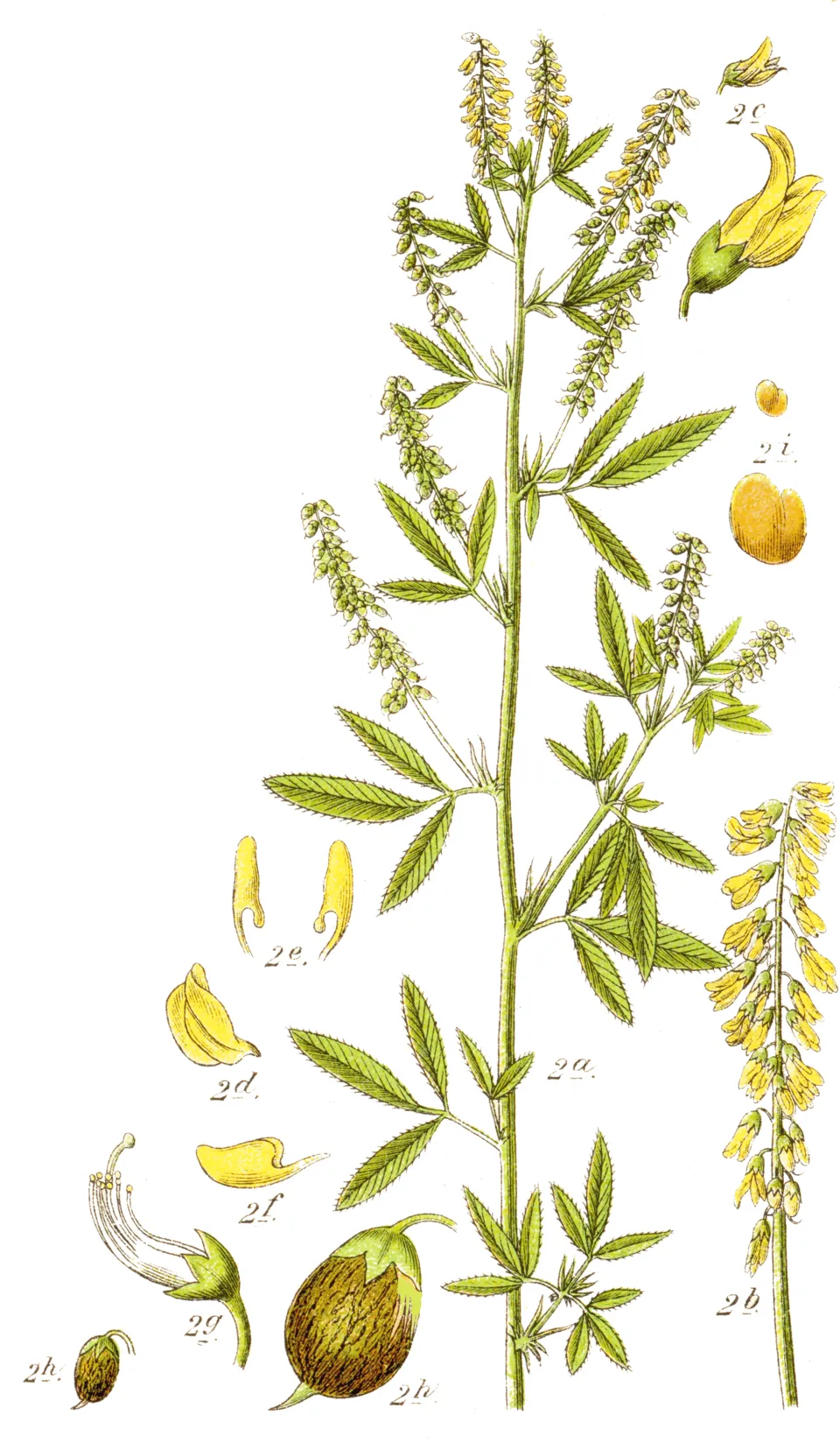
Small-flowered melilot
Melilotus dentatus21 records © Johann Georg Sturm (Painter: Jacob Sturm) · Public domain
Poland · Terrestrial
Landscape park of 11,290 hectares in Poland, established in 1986.
Landscape park of 11,290 hectares in Poland, established in 1986.
Szaniec Landscape Park is located in Poland (Europe). It is a predominantly terrestrial area. Established on 19 December 1986, it covers about 11,290 hectares.
Protected as a landscape park. International labels and designations: Natura 2000 network (2 sites). Key dates: established in 1986 and first Natura 2000 site under the Habitats Directive in 2011.
Sources: Wikidata (CC0) for establishment and international labels; EEA Natura 2000 database (CC-BY 4.0) for site designation dates.
In Poland (Europe). Representative point: 50.5000° N, 20.7500° E.
About 11,290 hectares (113 km²). It is the 84th largest of the 121 landscape parks in Poland covered by Parkavela.
On 19 December 1986.
A terrestrial area, where land cover is dominated by farmland (68%).
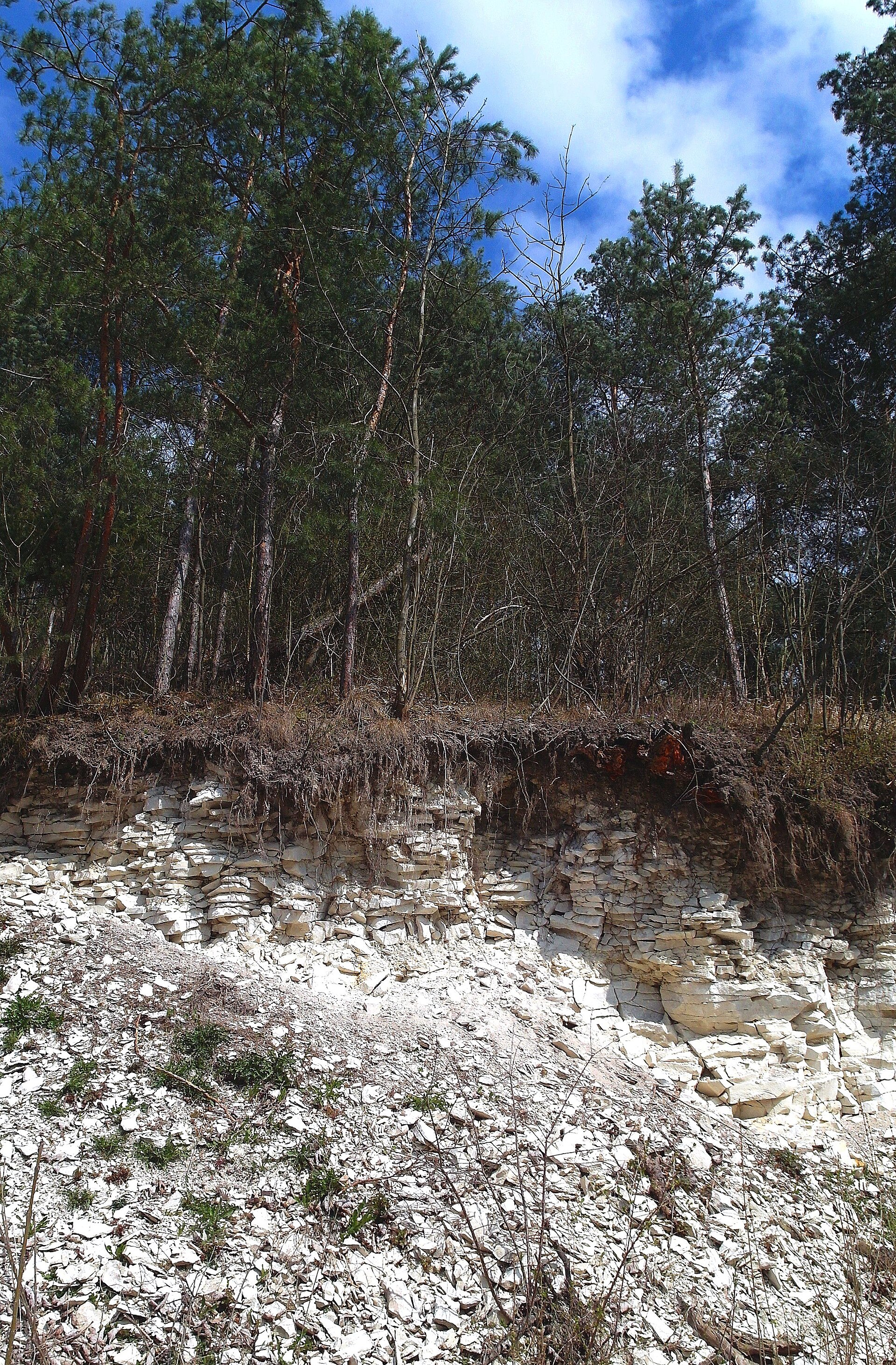
According to the European 1:1 million geological map (EGDI), the bedrock consists mainly of limestones (80% of sampled points) and sands and gravels (13%). These are mostly sedimentary rocks. The geological units date mainly from the Neogene (80% of sampled points).
Chełmica (313 m), Mogiłka (312 m), Orla Górka (312 m), Góra Kapturowa (304 m) and Karnnica (298 m) (OpenStreetMap).
Natura 2000 network (2 sites).
Mildest period: from June to August, with average temperatures of 18 to 20 °C.
Yes. According to NASA's MODIS satellites (2015–2025 average), snow covers the site about 30 days a year, mostly in December and January.
3 viewpoints, 3 lakes and ponds and 1 cave, including Staw Duży Ogrodowy, Schronisko w Grodzisku, Staw Rogowy and Łowisko Skały (OpenStreetMap).
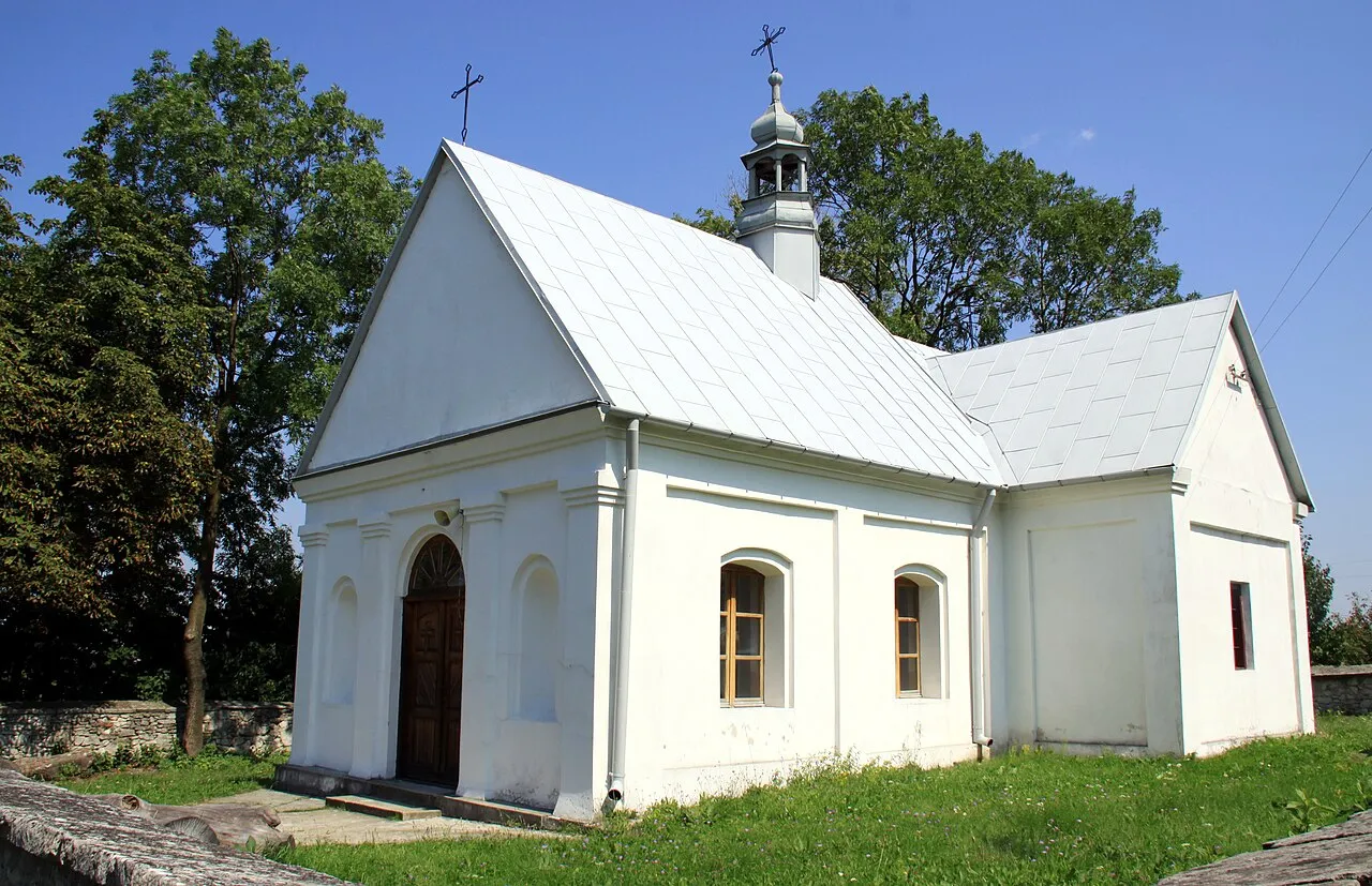
Yes. According to Wikidata, 27 monuments listed in the Polish register of monuments stand within the boundary. For example: “Cmentarz przykościelny” in Szczaworyż, “Ogród” in Widuchowa and “Watermill in Skotniki Małe” in Skotniki Małe.
One monitored bathing site lies in or within 1 km of the site (European Environment Agency). Swimming is only permitted at the sites and times authorised locally.
Nearest towns of over 50,000 people, as the crow flies: Kielce (29 km) and Mielec (41 km). Nearest airport: John Paul II International Airport Kraków-Balice (KRK), about 78 km away.
The nearest railway station is Włoszczowice, about 6 km from the site boundary.
Dom Zdrojowy.
Yes. Waymarked hiking routes listed in OpenStreetMap: 6, including Chemin de Petite-Pologne, Busko Zdrój, Grochowiska and Busko-Zdrój. The “Grochowiska - Szczaworyż Centrum” route runs for about 19 km through the site, with some 150 m of ascent on its longest section.
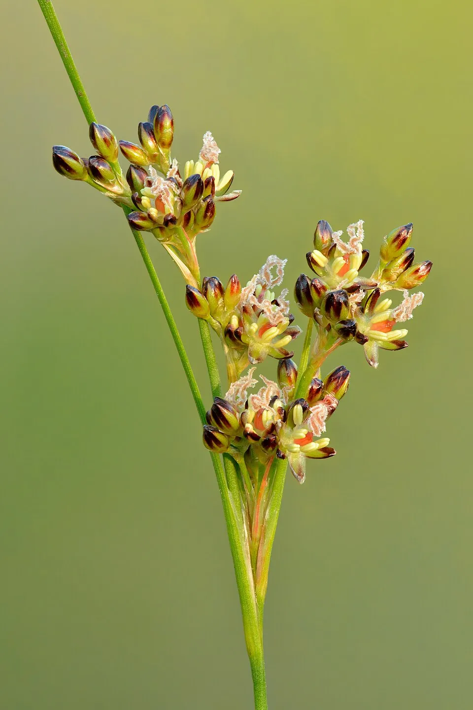
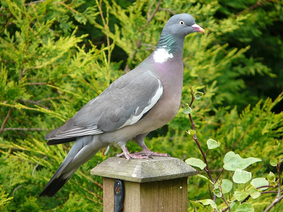
Among the species most often recorded on GBIF are Melilotus dentatus (Small-flowered melilot), Juncus compressus (Round-fruited Rush), Columba palumbus (Common Wood Pigeon) and Puccinellia distans (Weeping alkaligrass).
© OpenStreetMap
Download the boundary: GeoJSON · GPX Boundary © OpenStreetMap contributors (ODbL).
The representative point of the site lies at around 220 m above sea level. Over the 1996–2025 period, the mean annual temperature is about 9.2 °C and total precipitation reaches roughly 705 mm per year. The warmest month is usually July, the coolest January, and the wettest July. According to the European 1:1 million geological map (EGDI), the bedrock consists mainly of limestones (80% of sampled points) and sands and gravels (13%). These are mostly sedimentary rocks. The geological units date mainly from the Neogene (80% of sampled points).
Sedimentary rocks 100 % · Main age: Neogene (80%)
Source: EGDI 1:1M geological map (EuroGeoSurveys and national geological surveys), CC BY 4.0 · 15 sampled points within the site.
Data © OpenStreetMap contributors (ODbL)
● Mean temperature (°C) · ▮ Precipitation (mm)
Source: Copernicus ERA5-Land (C3S, doi:10.24381/cds.68d2bb30), monthly averages 1996–2025 interpolated to the representative point, temperatures adjusted for elevation.
Contains modified Copernicus Climate Change Service information 2026. Neither the European Commission nor ECMWF is responsible for any use that may be made of the Copernicus information or data it contains.
average share of the site under snow · snowiest parts · ≈ 30 days a year
Snow cover: MODIS/Terra MOD10CM v61 (Hall & Riggs, 2021, NASA NSIDC DAAC, doi:10.5067/MODIS/MOD10CM.061), imagery from NASA GIBS (ESDIS); 2015–2025 average, grid of about 5 km.
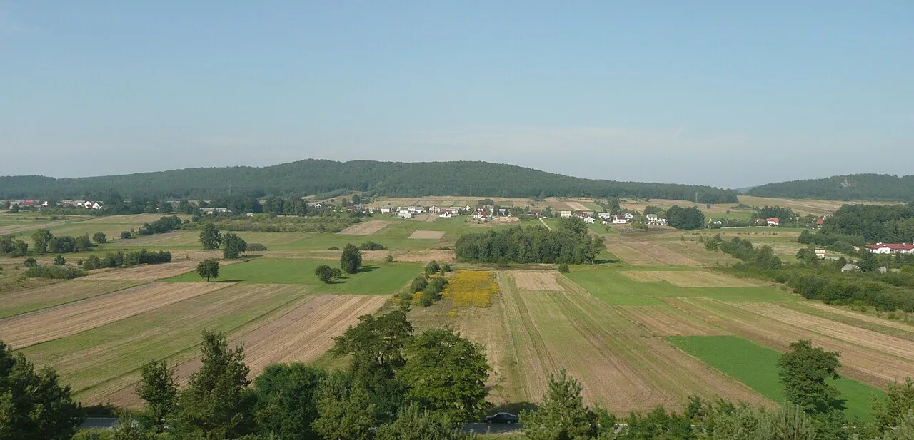
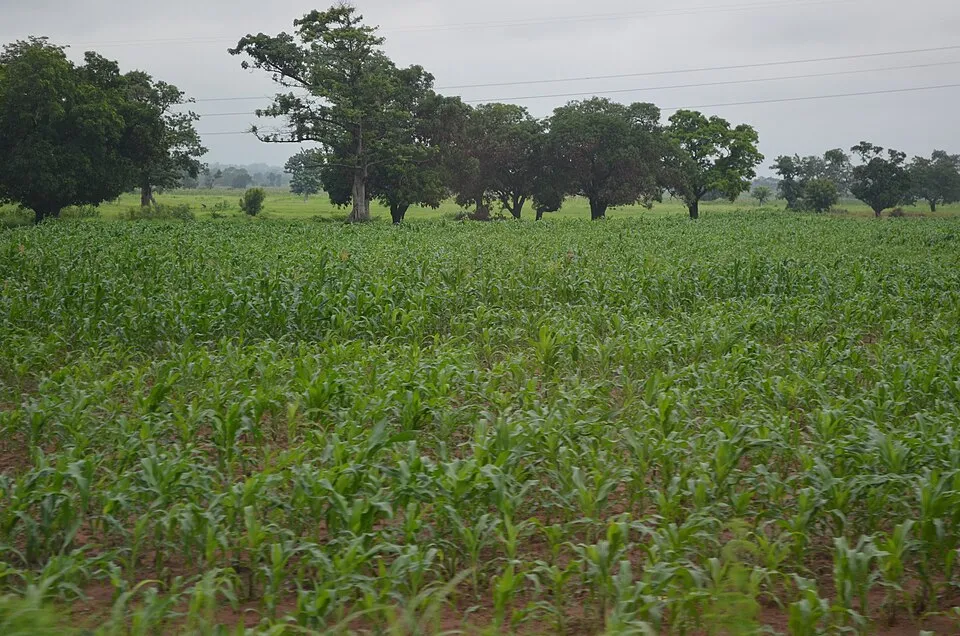
According to CORINE Land Cover (2018), the site is mainly made up of farmland (68%), grassland and meadows (16%) and forests (8%). Elevation ranges from about 210 to 330 m (sampled elevations, SRTM). The 2 Natura 2000 sites overlapping the area list 20 habitats of European interest (5 priority), the most extensive being lowland hay meadows (Alopecurus pratensis, Sanguisorba officinalis), Molinia meadows on calcareous, peaty or clayey-silt-laden soils (Molinion caeruleae) and Galio-Carpinetum oak-hornbeam forests.
Based on occurrences aggregated by GBIF, several species are regularly recorded within the site. Among the most frequent are Melilotus dentatus (Small-flowered melilot), Juncus compressus (Round-fruited Rush), Columba palumbus (Common Wood Pigeon) and Puccinellia distans (Weeping alkaligrass). The full list of documented taxa is shown below. The overlapping Natura 2000 sites list 17 species of European interest: 2 mammals, 2 amphibians, 2 fish, 7 invertebrates and 4 plants.
From the official forms of the 2 Natura 2000 sites overlapping the area (areas reported for each whole site).
and 12 more
European fire-bellied toad (Bombina bombina), Great crested newt (Triturus cristatus)
Large copper (Lycaena dispar), Violet Copper (Lycaena helle), Dusky Large Blue (Maculinea nausithous), Scarce large blue (Maculinea teleius), Green snaketail (Ophiogomphus cecilia), Hermit beetle (Osmoderma eremita), Narrow-mouthed whorl snail (Vertigo angustior)
Angelica palustris, Lady's-slipper orchid (Cypripedium calceolus), Ligularia sibirica, Fen orchid (Liparis loeselii)
Source: Natura 2000 standard data forms (EEA, CC-BY 4.0). Not exhaustive: sensitive species are not published.
Plant
21 records © Johann Georg Sturm (Painter: Jacob Sturm) · Public domain

Plant
7 records © Kristian Peters -- Fabelfroh 07:20, 11 July 2006 (UTC) · CC BY-SA 3.0
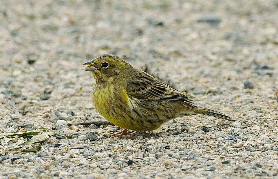
Occurrences documented via GBIF; they are neither an exhaustive inventory nor proof of current presence.
Records: GBIF.org (CC-BY). Names: Wikidata (CC0), GBIF. Photos: Wikimedia Commons.
The primary purpose of the site is to preserve its natural habitats and the biodiversity they support. The species recorded (Biodiversity tab) reflect its ecological value. The designations it holds frame its management and the control of land use.
According to Global Forest Change data (University of Maryland, Global Forest Watch), about 73 ha of tree cover were lost within the boundary between 2001 and 2023 (under 1% of its area), peaking in 2018 and 2021. These losses include logging, storms and fires, and do not account for regrowth. According to CORINE Land Cover, land cover here remained almost unchanged between 1990 and 2018 (less than 0.5% of the area affected); only some 13 ha were built over. At night, 1% of the area gives off artificial light detectable from space (NASA VIIRS Black Marble composite, 2016). Built-up and developed land (buildings, business areas, roads, quarries) covers 6% of the area, and farmland 68% (CORINE Land Cover). According to the Natura 2000 forms, of 20 assessed habitats of European interest, 8 are in excellent condition and 2 in average or reduced condition. According to the Water Framework Directive assessment (2022 river basin management plans, data 2014–2019), none of the 18 km of rivers assessed within the site reaches good ecological potential; they mostly have moderate ecological potential.
73 ha
2001–2023 · < 1% of the area
0
No large fire mapped (fires over about 30 ha)
1%
of the area gives off artificial light visible from space
6%
buildings, business areas, roads, quarries · farmland 68%
< 0.5%
of the area changed, 1990–2018 · CORINE
0%
of the 18 km of assessed rivers at good or high ecological potential (mostly heavily modified water bodies) · WFD 2022
assessments 2014–2019
Sources: Global Forest Change (Hansen et al., University of Maryland, via Global Forest Watch, CC-BY 4.0); EFFIS, European Commission / Copernicus; NASA Black Marble 2016 (public domain); CORINE Land Cover 2018 (Copernicus) or MODIS.
CORINE Land Cover Change 1990–2018: generated using European Union's Copernicus Land Monitoring Service information (EEA), aggregated by Parkavela; DOI 10.2909/f30f1000-7cf8-43bb-872c-5eb093911b24.
Ecological status of water bodies: European Environment Agency, WISE – Water Framework Directive, 3rd river basin management plans (2022), CC BY 4.0. Official national classification, not comparable between countries.
3 viewpoints · 3 lakes and ponds · 1 cave
6 waymarked routes listed, including:
EV11: route still largely undeveloped
Signed cycle routes: this does not mean that cycling is allowed on footpaths.
Data © OpenStreetMap contributors (ODbL) · Wikidata (CC0)
Contains information from EuroVelo GPX tracks downloaded from www.EuroVelo.com on 2026-10-22, which is made available here under the Open Database License (ODbL). EuroVelo® is a registered trademark of the ECF. Routes © OpenStreetMap contributors (ODbL), via Waymarked Trails
9.9 km within the site ↗ 102 m↘ 97 m 211–309 m
Tracks © OpenStreetMap contributors (ODbL), clipped to the boundary; elevation gain and profiles computed on the longest section from Mapzen Terrain Tiles (≈ 30 m), indicative only.
1 monitored bathing site in or within 1 km of the site · 2025 classification
Source: European Environment Agency, official bathing water classification (Directive 2006/7/EC, CC-BY 4.0). Swimming is only permitted at the sites and times authorised locally.
The nearest railway station is Włoszczowice, about 6 km from the site boundary. Nearest towns of over 50,000 people, as the crow flies: Kielce (29 km) and Mielec (41 km). Nearest airport: John Paul II International Airport Kraków-Balice (KRK), about 78 km away. About 190,000 people live within 20 km of the site boundary, 87,000 of them within 10 km; some 7,300 people are estimated to live inside (GHSL estimate, 2020). Visitor information on site: Dom Zdrojowy. Waymarked hiking routes listed in OpenStreetMap: 6, including Chemin de Petite-Pologne, Busko Zdrój, Grochowiska and Busko-Zdrój. The EuroVelo 11 cycle route (East Europe Route) crosses the site for about 6 km, on a route still largely undeveloped; 2 other signed cycle routes also pass through: “SAO Szlak Architektury Obronnej” and “MM Miejsca Mocy” (EuroVelo, OpenStreetMap). To see: 3 viewpoints, 3 lakes and ponds and 1 cave, including Staw Duży Ogrodowy, Schronisko w Grodzisku, Staw Rogowy and Łowisko Skały. To plan a visit (access, opening periods, visitor rules), it is best to consult the official information from the managing body and the official website listed in this page's sources.
Source: OpenStreetMap (ODbL), Wikidata (CC0), October 2026.
According to Wikidata, 27 monuments listed in the Polish register of monuments stand within the boundary. Among them are 11 religious buildings, 3 houses and civic buildings and 2 bridges, lighthouses, mills and working buildings. Examples include “Cmentarz przykościelny” in Szczaworyż, “Ogród” in Widuchowa and “Watermill in Skotniki Małe” in Skotniki Małe.
and 19 more
Source: Wikidata (CC0), monuments in each country’s official heritage protection registers, at national or regional level. Each item links to its Wikidata entry.
Mildest period: from June to August, with average temperatures of 18 to 20 °C. Average temperatures drop below 0 °C in January and February: frost is common. Precipitation peaks in July (up to 100 mm per month). According to NASA's MODIS satellites (2015–2025 average), snow covers the site about 30 days a year, mostly in December and January. Day length ranges from about 8 h 01 min in December to 16 h 26 min in June. Wildlife records published on GBIF peak for birds (April and May), plants (June and July) and butterflies and moths (July). These peaks also reflect when observers are most active.
Source: Copernicus ERA5-Land (C3S), monthly averages 1996–2025 at the representative point, temperatures adjusted for elevation.
Contains modified Copernicus Climate Change Service information 2026. Neither the European Commission nor ECMWF is responsible for any use that may be made of the Copernicus information or data it contains.
Monthly records published on GBIF (CC-BY), relative to the busiest month; also reflects observer activity.
Data © OpenStreetMap contributors (ODbL), Wikidata (CC0) and the sources cited.