Italy · Terrestrial
Gran Bosco di Salbertrand Nature Park
Regional nature park of 3,760 hectares in Italy, established in 1980.
Overview
Regional nature park of 3,760 hectares in Italy, established in 1980.
Gran Bosco di Salbertrand Nature Park is a regional nature park in Italy (Europe). It is a predominantly terrestrial area. Established in 1980, it covers about 3,760 hectares. The site is managed by Ente di gestione delle aree protette delle Alpi Cozie.
Protections and designations
Natura 2000 · habitats (SAC)
- Gran Bosco di Salbertrand IT1110010
Protected as a regional nature park. International labels and designations: Natura 2000 network (1 site: “Gran Bosco di Salbertrand”).
In our collections
Frequently asked questions
Where is Gran Bosco di Salbertrand Nature Park?
In Italy (Europe). Representative point: 45.0611° N, 6.9403° E.
How large is Gran Bosco di Salbertrand Nature Park?
About 3,760 hectares (38 km²). It is the 79th largest of the 128 regional parks in Italy covered by Parkavela.
When was Gran Bosco di Salbertrand Nature Park established?
In 1980.
What habitats and landscapes does Gran Bosco di Salbertrand Nature Park include?
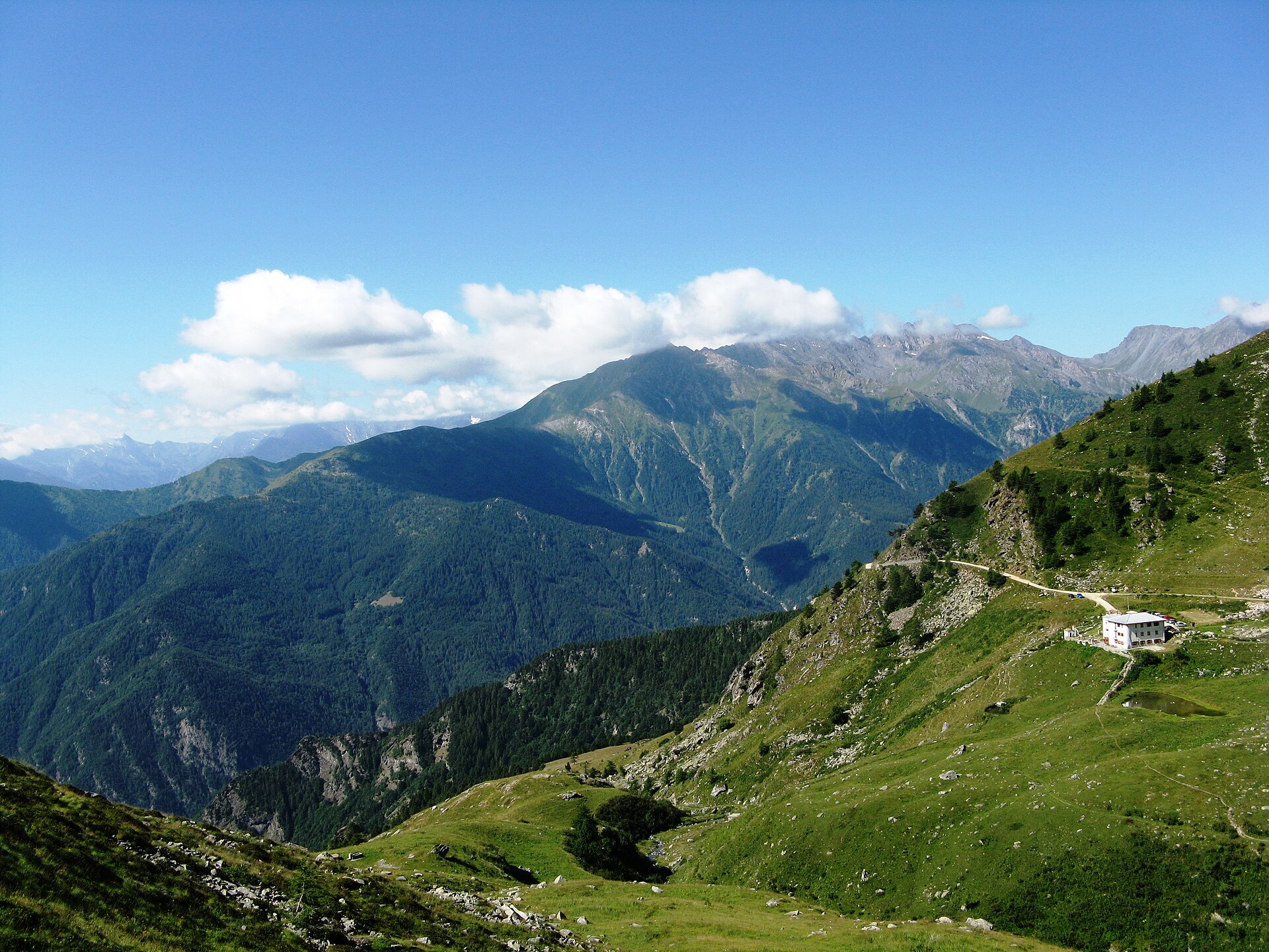
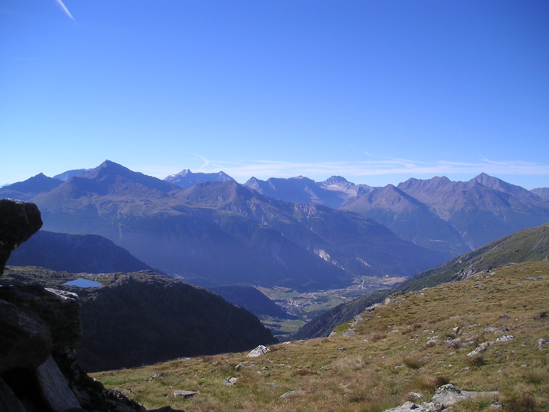
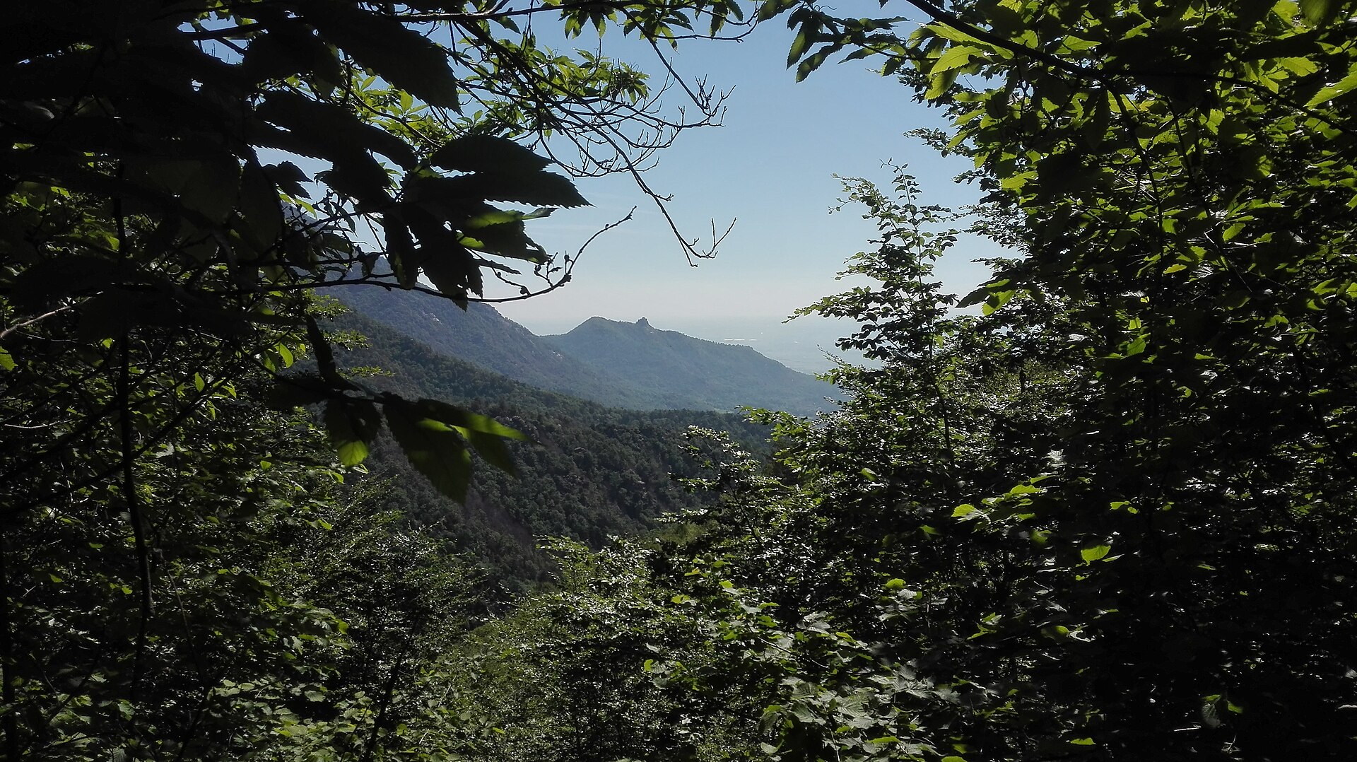
A terrestrial area, with forests and mountains.
What rocks lie beneath Gran Bosco di Salbertrand Nature Park?
According to the European 1:1 million geological map (EGDI), the bedrock consists mainly of quartzites (100% of sampled points). These are mostly metamorphic rocks. The geological units date mainly from the Cretaceous (100% of sampled points).
What is the highest point of Gran Bosco di Salbertrand Nature Park?
Gran Pelà, at 2,705 m (OpenStreetMap).
What are the main summits of Gran Bosco di Salbertrand Nature Park?
Gran Pelà (2,705 m), Gran Serin (2,629 m), Gran Costa (2,615 m), Monte Blegier (2,583 m) and Testa dell'Assietta (2,566 m) (OpenStreetMap).
Which international labels apply to Gran Bosco di Salbertrand Nature Park?
Natura 2000 network (1 site: “Gran Bosco di Salbertrand”).
When is the best time to visit Gran Bosco di Salbertrand Nature Park?
Mildest period: July and August, with average temperatures of 9 to 10 °C.
Is there snow in Gran Bosco di Salbertrand Nature Park?
Yes. According to NASA's MODIS satellites (2015–2025 average), snow covers most of the site from November to April, with about 150 snow-covered days a year on average.
What is there to see in Gran Bosco di Salbertrand Nature Park?
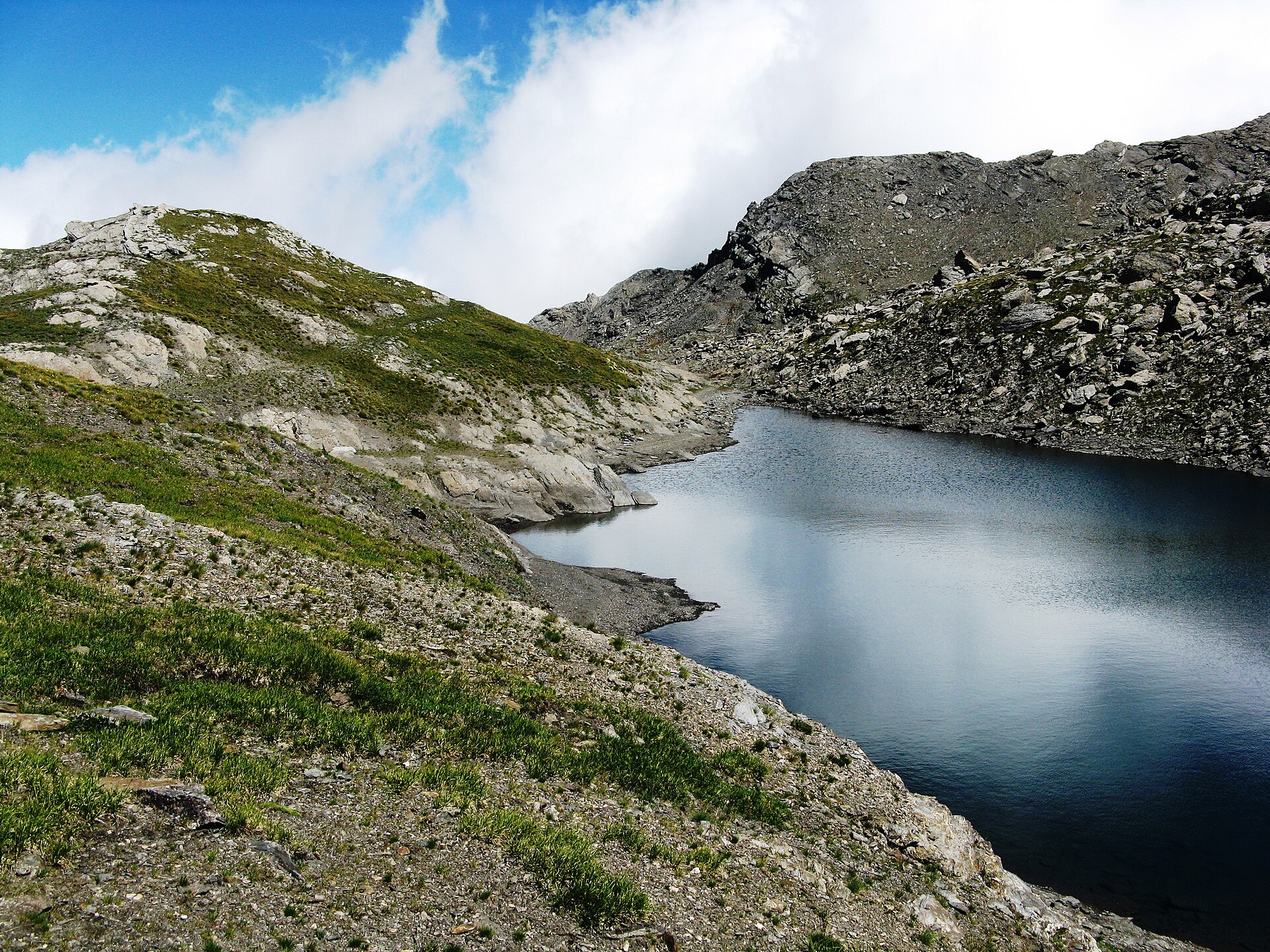
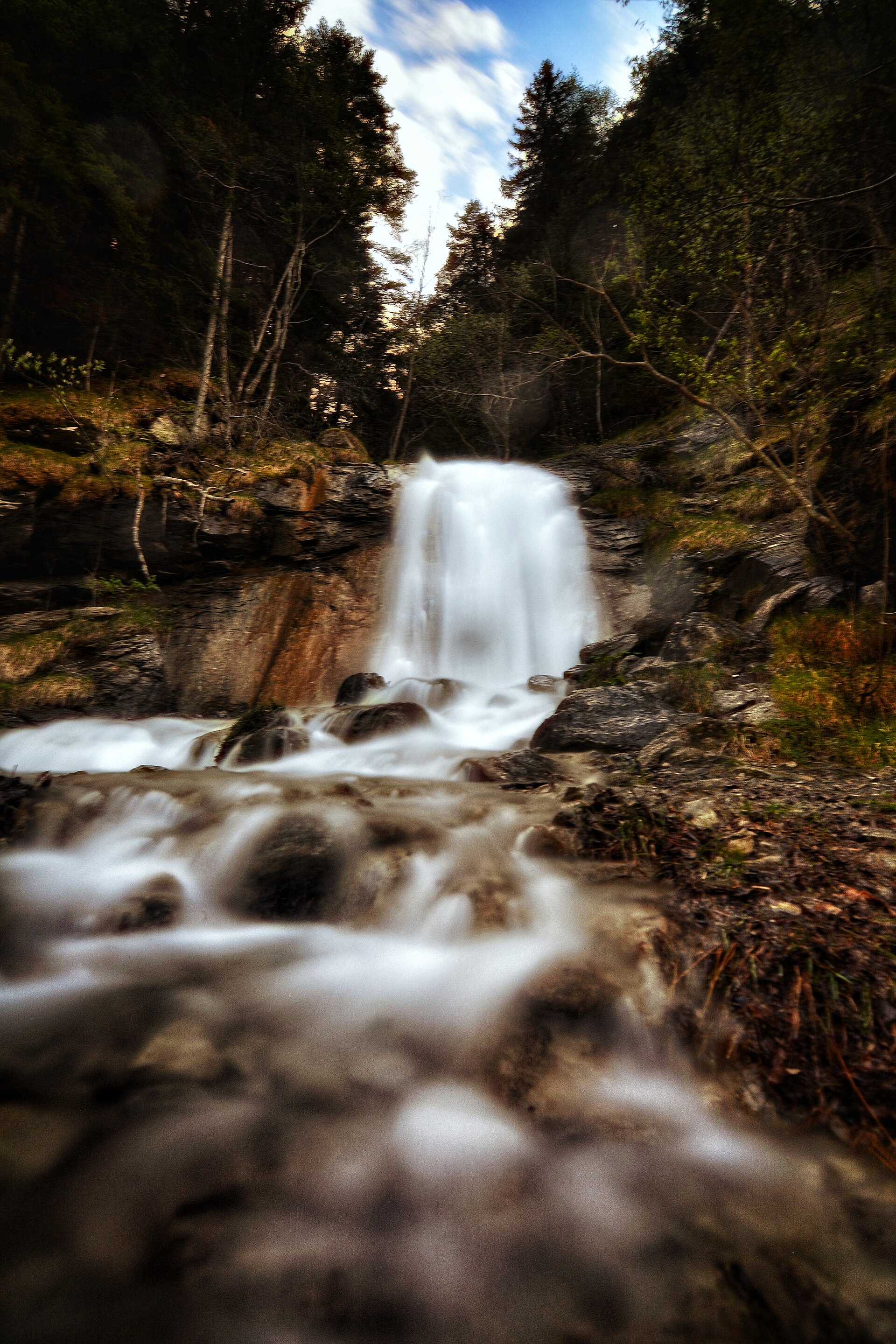
5 viewpoints, 2 waterfalls and 6 lakes and ponds, including Lago Grande (2,499 m), Lago Lauson (2,404 m), Lago dell'Assietta and Lago della Ghiacciaia (OpenStreetMap).
Where can I stay in Gran Bosco di Salbertrand Nature Park?
2 mountain huts, including Rifugio Casa Assietta (2,527 m) and Rifugio alpino Daniele Arlaud (1,770 m) (OpenStreetMap).
Are there historic monuments in Gran Bosco di Salbertrand Nature Park?
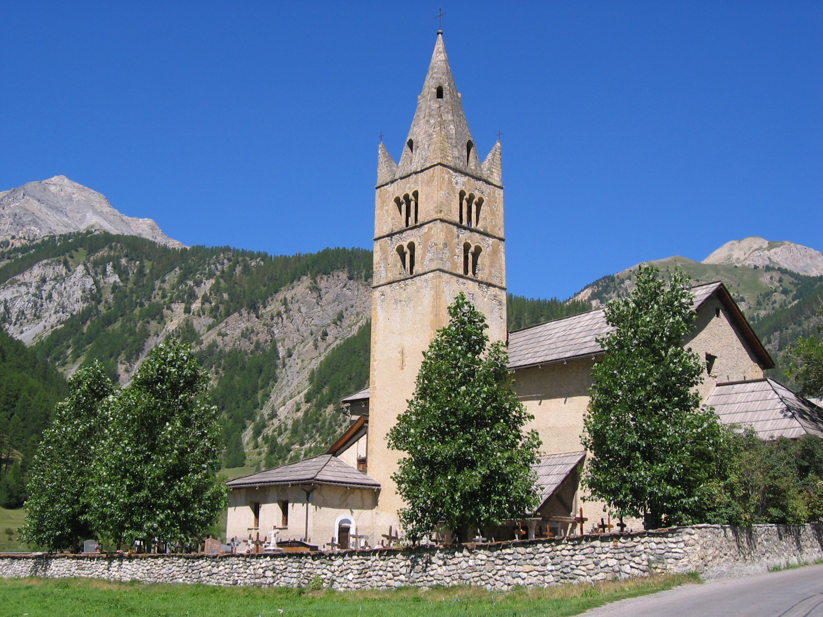
Yes. According to Wikidata, 8 monuments protected as Italian national cultural heritage stand within the boundary. For example: “Forte Sapé” in Exilles, “Calcara” in Salbertrand and “Aula didattica in bosco” in Salbertrand.
What is the nearest large city to Gran Bosco di Salbertrand Nature Park?
Nearest towns of over 50,000 people, as the crow flies: Turin (54 km) and Moncalieri (55 km). Nearest airport: Turin (TRN), about 54 km away.
How can I reach Gran Bosco di Salbertrand Nature Park by train?
The nearest railway station is Oulx-Césane-Clavières-Sestrières, about 2 km from the site boundary.
Where can I get visitor information on site?
Consorzio Forestale Alta Valle Susa, Ufficio del turismo di Sauze d'Oulx and Ufficio Turistico Oulx.
Are there waymarked hiking trails in Gran Bosco di Salbertrand Nature Park?
Yes. Waymarked hiking routes listed in OpenStreetMap: 51, including Via Francigena, Sur les pas des Vaudois and Via Alpina Blue. The “GRV · Sur les pas des Vaudois: la Glorieuse Rentrée” route runs for about 9 km through the site, with some 1,290 m of ascent on its longest section.
Which species can be seen in Gran Bosco di Salbertrand Nature Park?
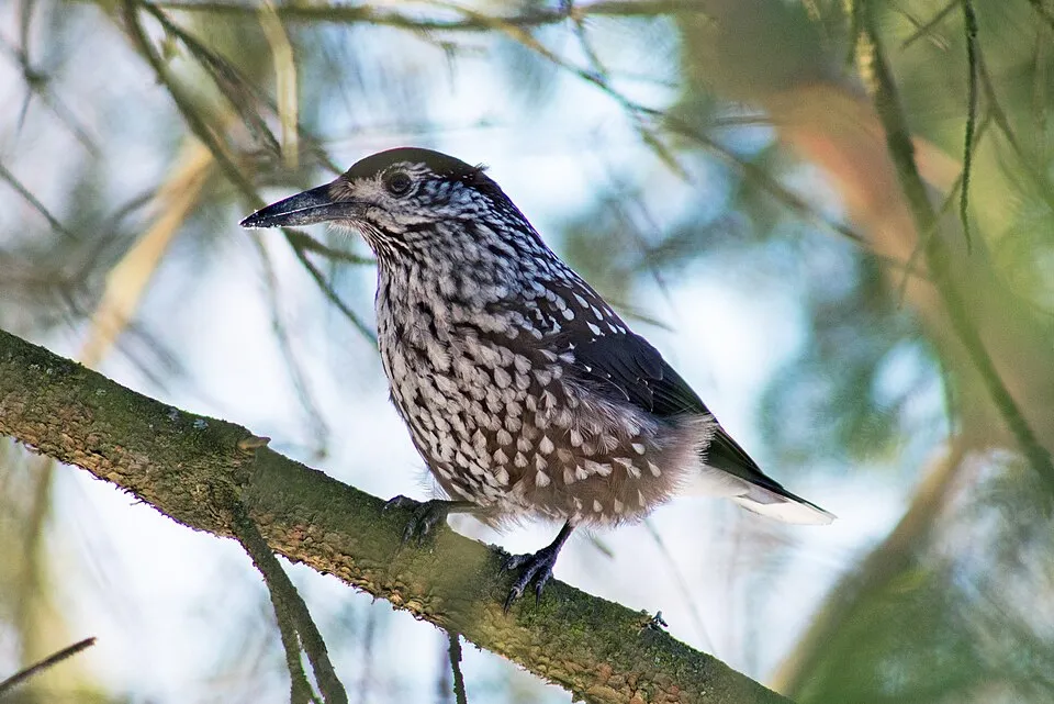
Among the species most often recorded on GBIF are Corvus corax (Northern Raven), Nucifraga caryocatactes (Northern Nutcracker), Periparus ater (Coal tit) and Fringilla coelebs (Eurasian Chaffinch).
Who manages Gran Bosco di Salbertrand Nature Park?
Ente di gestione delle aree protette delle Alpi Cozie.
© OpenStreetMap
Download the boundary: GeoJSON · GPX Boundary © OpenStreetMap contributors (ODbL).
Geography
The representative point of the site lies at around 2,509 m above sea level. Over the 1996–2025 period, the mean annual temperature is about -1.0 °C and total precipitation reaches roughly 1,194 mm per year. The warmest month is usually July, the coolest January, and the wettest May. According to the European 1:1 million geological map (EGDI), the bedrock consists mainly of quartzites (100% of sampled points). These are mostly metamorphic rocks. The geological units date mainly from the Cretaceous (100% of sampled points).
Area
- Area
- 3,760 ha
- Elevation
- 2,509 m
- Median elevation
- 2,127 m
- Mean slope
- 24°
- Snow cover
- ≈ 150 days a year
- Coordinates
- 45.0611, 6.9403
Terrain: Mapzen Terrain Tiles (SRTM, USGS)
Elevation bands
- 1,000–1,500 m 13%
- 1,500–2,000 m 29%
- 2,000–2,500 m 51%
- 2,500–3,000 m 7%
share of the site in each elevation band (smoothed terrain model: summits are rounded off) · Terrain: Mapzen Terrain Tiles (SRTM, USGS)
Bedrock
- Quartzites 100 %
Metamorphic rocks 100 % · Main age: Cretaceous (100%)
Source: EGDI 1:1M geological map (EuroGeoSurveys and national geological surveys), CC BY 4.0 · 16 sampled points within the site.
Main summits
- Gran Pelà2,705 m
- Gran Serin2,629 m
- Gran Costa2,615 m
- Monte Blegier2,583 m
- Testa dell'Assietta2,566 m
- Testa di Mottas2,550 m
- Monte Genevris2,545 m
Data © OpenStreetMap contributors (ODbL)
Climate
● Mean temperature (°C) · ▮ Precipitation (mm)
Source: Copernicus ERA5-Land (C3S, doi:10.24381/cds.68d2bb30), monthly averages 1996–2025 interpolated to the representative point, temperatures adjusted for elevation.
Contains modified Copernicus Climate Change Service information 2026. Neither the European Commission nor ECMWF is responsible for any use that may be made of the Copernicus information or data it contains.
Snow cover measured by satellite
J
F
M
A
M
J
J
A
S
O
N
D
average share of the site under snow · snowiest parts · ≈ 150 days a year
Snow cover: MODIS/Terra MOD10CM v61 (Hall & Riggs, 2021, NASA NSIDC DAAC, doi:10.5067/MODIS/MOD10CM.061), imagery from NASA GIBS (ESDIS); 2015–2025 average, grid of about 5 km.
Natural habitats
According to CORINE Land Cover (2018), the site is mainly made up of forests (57%), sparsely vegetated land (27%) and heath and scrub (7%). Woodland is mostly coniferous. Elevation ranges from about 1,320 m to 2,705 m (highest point: Gran Pelà). Median elevation is 2,127 m, and 59% of the site lies above 2,000 m (SRTM elevation model). The terrain is steep: 23% of slopes exceed 30° (mean slope 24°). The Natura 2000 site overlapping the area lists 20 habitats of European interest (4 priority), the most extensive being alpine Larix decidua and/or Pinus cembra forests, Alpine and Boreal heaths and calcareous and calcshist screes of the montane to alpine levels (Thlaspietea rotundifolii).
Biodiversity
Based on occurrences aggregated by GBIF, several species are regularly recorded within the site. Among the most frequent are Corvus corax (Northern Raven), Nucifraga caryocatactes (Northern Nutcracker), Periparus ater (Coal tit) and Fringilla coelebs (Eurasian Chaffinch). The full list of documented taxa is shown below. The overlapping Natura 2000 site lists 18 species of European interest: 8 mammals, 2 reptiles, 1 amphibian, 3 invertebrates and 4 plants.
Habitats of European interest
From the official form of the Natura 2000 site overlapping the area (areas reported for the whole site).
- Alpine Larix decidua and/or Pinus cembra forests 1,042 ha
- Alpine and Boreal heaths 481 ha
- Calcareous and calcshist screes of the montane to alpine levels (Thlaspietea rotundifolii) 225 ha
- Acidophilous Picea forests of the montane to alpine levels (Vaccinio-Piceetea) 215 ha
- Hydrophilous tall herb fringe communities of plains and of the montane to alpine levels 156 ha
- Mountain hay meadows 104 ha
- Lowland hay meadows (Alopecurus pratensis, Sanguisorba officinalis) 100 ha
- Sub-Arctic Salix spp. Scrub 74 ha
and 12 more
Species of European interest
Mammals · 8
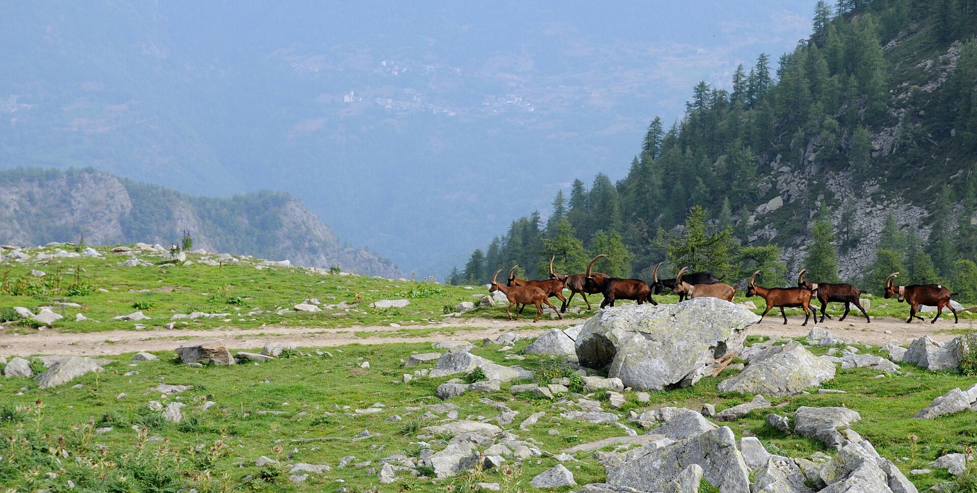
Barbastelle (Barbastella barbastellus), Grey wolf (Canis lupus), Mountain Hare (Lepus timidus), European pine marten (Martes martes), Bechstein's bat (Myotis bechsteinii), Geoffroy's bat (Myotis emarginatus), Greater Horseshoe Bat (Rhinolophus ferrumequinum), Chamois (Rupicapra rupicapra)
Amphibians · 1
Invertebrates · 3
Marsh fritillary (Euphydryas aurinia), Jersey Tiger (Euplagia quadripunctaria), Apollo (Parnassius apollo)
Plants · 4
Aquilegia alpina, Mountain arnica (Arnica montana), Black Wormwood (Artemisia genipi), Great Yellow Gentian (Gentiana lutea)
Source: Natura 2000 standard data forms (EEA, CC-BY 4.0). Not exhaustive: sensitive species are not published.
Species to look out for
Bird
Northern Nutcracker
Nucifraga caryocatactes27 records © Jyrki Salmi from Finland · CC BY-SA 2.0


Observed species
Occurrences documented via GBIF; they are neither an exhaustive inventory nor proof of current presence.
- Northern Raven · Corvus corax · 27
- Northern Nutcracker · Nucifraga caryocatactes · 27
- Coal tit · Periparus ater · 26
- Eurasian Chaffinch · Fringilla coelebs · 25
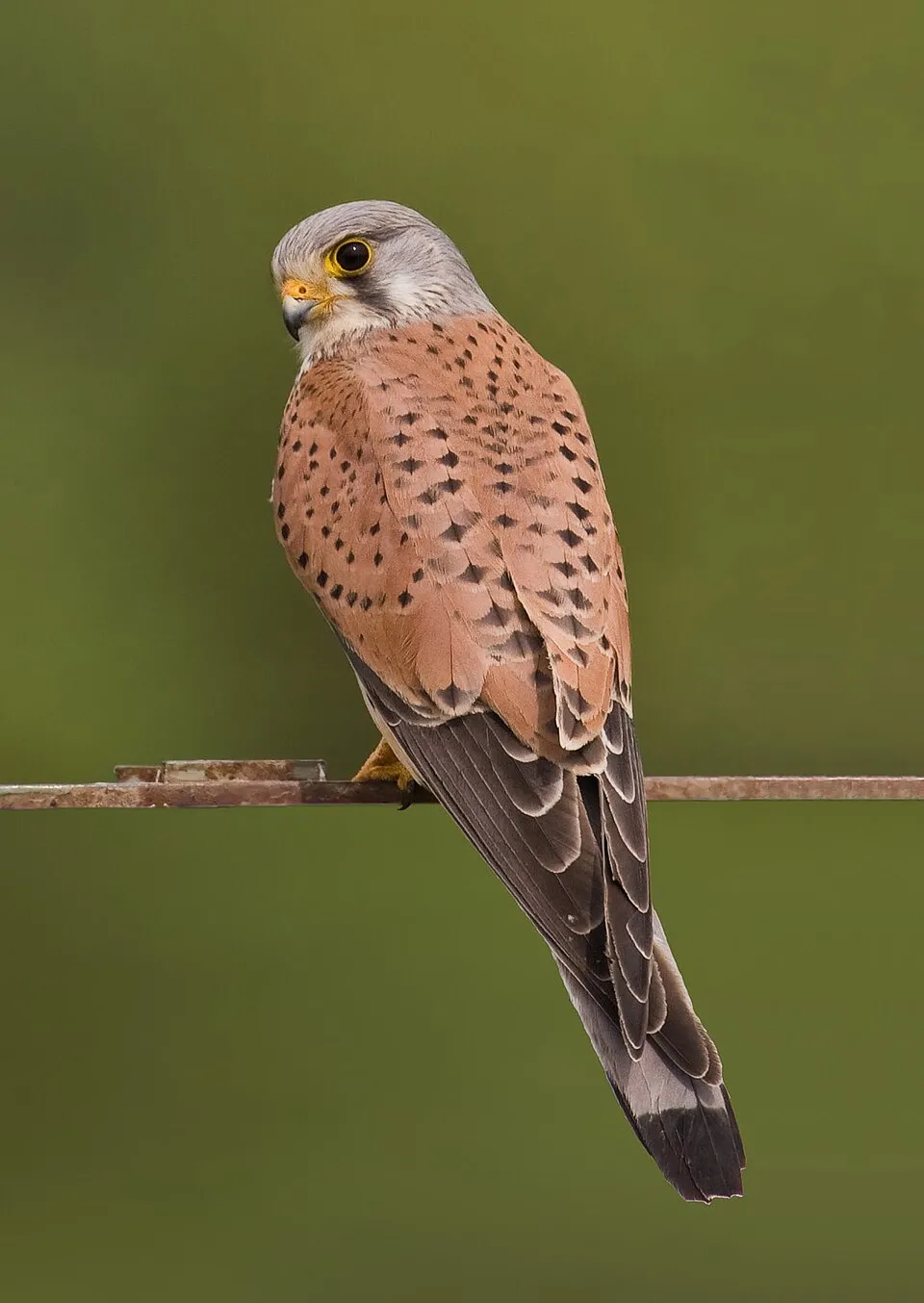
- Common Kestrel · Falco tinnunculus · 24
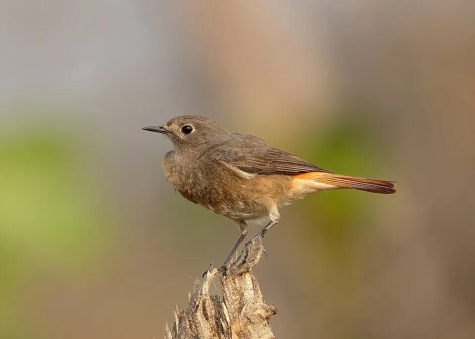
- Black Redstart · Phoenicurus ochruros · 23
- Willow Tit · Poecile montanus · 22
- European Crested Tit · Lophophanes cristatus · 22
- Water Pipit · Anthus spinoletta · 21
- Great Yellow Gentian · Gentiana lutea · 21
- Northern Wheatear · Oenanthe oenanthe · 20
- Golden Eagle · Aquila chrysaetos · 19
Records: GBIF.org (CC-BY). Names: Wikidata (CC0), GBIF. Photos: Wikimedia Commons.
Conservation challenges
The primary purpose of the site is to preserve its natural habitats and the biodiversity they support. The species recorded (Biodiversity tab) reflect its ecological value. The designations it holds frame its management and the control of land use.
According to the European CORINE Land Cover inventory (Copernicus), land cover changed on about 64 ha of the site between 1990 and 2018 (2% of its area): forest grew by 64 ha, mostly at the expense of open natural land, while open natural land shrank by 64 ha, mostly giving way to forest. Forest felling and regrowth add about 290 ha in total over the period. At night, the area gives off virtually no artificial light detectable from space (NASA VIIRS Black Marble composite, 2016). According to the Natura 2000 forms, of 18 assessed habitats of European interest, 5 are in excellent condition and 1 in average or reduced condition.
Pressure indicators
Tree cover lost
7 ha
2001–2023 · < 1% of the area
20012023
Fires since 2016
0
No large fire mapped (fires over about 30 ha)
Light at night
0%
of the area gives off artificial light visible from space
DarkLit
Land cover change
64 ha
changed cover, 1990–2018 · CORINE · 2% of the area
- +64 ha · forest
- −64 ha · open natural land
forest felling and regrowth: 290 ha in total
Sources: Global Forest Change (Hansen et al., University of Maryland, via Global Forest Watch, CC-BY 4.0); EFFIS, European Commission / Copernicus; NASA Black Marble 2016 (public domain); CORINE Land Cover 2018 (Copernicus) or MODIS.
CORINE Land Cover Change 1990–2018: generated using European Union's Copernicus Land Monitoring Service information (EEA), aggregated by Parkavela; DOI 10.2909/f30f1000-7cf8-43bb-872c-5eb093911b24.
Practical information
Cities and airport
- Turin
54 km as the crow flies - Moncalieri
55 km as the crow flies - Airport: Turin (TRN)
54 km as the crow flies
Visitor information
- Consorzio Forestale Alta Valle Susa
3 km from the site boundary - Ufficio del turismo di Sauze d'Oulx
1 km from the site boundary - Ufficio Turistico Oulx
3 km from the site boundary - Ufficio Turistico
3 km from the site boundary
Things to see
5 viewpoints · 2 waterfalls · 6 lakes and ponds
- Lago Grande
lake or pond · 2,499 m - Lago Lauson
lake or pond · 2,404 m - Lago dell'Assietta
lake or pond - Lago della Ghiacciaia
lake or pond - Lago di Laune
lake or pond
Where to stay
2 mountain huts
- Rifugio Casa Assietta
Staffed hut · 2,527 m - Rifugio alpino Daniele Arlaud
Staffed hut · 1,770 m · 16 beds
Hiking
51 waymarked routes listed, including:
Via FrancigenaSur les pas des VaudoisVia Alpina Blue
Data © OpenStreetMap contributors (ODbL) · Wikidata (CC0)
Waymarked hiking routes
GRV Sur les pas des Vaudois: la Glorieuse Rentrée
9.1 km within the site ↗ 1,286 m↘ 146 m 1,156–2,308 m
up to T2 · mountain hiking
VA-D37 Via Alpina Blue D37
2.5 km within the site ↗ 0 m↘ 537 m 1,212–1,755 m
up to T2 · mountain hiking
SI Unnamed route
2.5 km within the site ↗ 0 m↘ 537 m 1,212–1,755 m
up to T2 · mountain hiking
3 Unnamed route
2.6 km within the site ↗ 666 m↘ 0 m 1,277–1,945 m
up to T2 · mountain hiking
741B Unnamed route
1.3 km within the site ↗ 363 m↘ 0 m 1,277–1,644 m
up to T2 · mountain hiking
712 Unnamed route
8.3 km within the site ↗ 614 m↘ 127 m 2,012–2,534 m
up to T2 · mountain hiking
718 Unnamed route
4.9 km within the site ↗ 0 m↘ 1,077 m 1,212–2,299 m
up to T2 · mountain hiking
Tracks © OpenStreetMap contributors (ODbL), clipped to the boundary; elevation gain and profiles computed on the longest section from Mapzen Terrain Tiles (≈ 30 m), indicative only. Indicative difficulty (SAC scale, OpenStreetMap, via Waymarked Trails): check with the park.
Access and visiting
The nearest railway station is Oulx-Césane-Clavières-Sestrières, about 2 km from the site boundary. Nearest towns of over 50,000 people, as the crow flies: Turin (54 km) and Moncalieri (55 km). Nearest airport: Turin (TRN), about 54 km away. About 42,000 people live within 20 km of the site boundary, 17,000 of them within 10 km; the site itself is virtually uninhabited (GHSL estimate, 2020). Visitor information on site: Consorzio Forestale Alta Valle Susa, Ufficio del turismo di Sauze d'Oulx and Ufficio Turistico Oulx. Waymarked hiking routes listed in OpenStreetMap: 51, including Via Francigena, Sur les pas des Vaudois and Via Alpina Blue. To see: 5 viewpoints, 2 waterfalls and 6 lakes and ponds, including Lago Grande (2,499 m), Lago Lauson (2,404 m), Lago dell'Assietta and Lago della Ghiacciaia. Where to stay: 2 mountain huts, including Rifugio Casa Assietta (2,527 m) and Rifugio alpino Daniele Arlaud (1,770 m). To plan a visit (access, opening periods, visitor rules), it is best to consult the official information from the managing body (Ente di gestione delle aree protette delle Alpi Cozie) and the official website listed in this page's sources.
Source: OpenStreetMap (ODbL), Wikidata (CC0), October 2026.
Built heritage
According to Wikidata, 8 monuments protected as Italian national cultural heritage stand within the boundary. Among them are 2 castles and fortifications and 1 bridge, lighthouse, mill or working building. Examples include “Forte Sapé” in Exilles, “Calcara” in Salbertrand and “Aula didattica in bosco” in Salbertrand.
2 castles and fortifications1 bridge, lighthouse, mill or working building
-
Forte Sapé
Exilles · 19th c. -
Calcara
Salbertrand -
Aula didattica in bosco
Salbertrand -
Forte del Gran Serin
Meana di Susa · 19th c. -
Cantiere forestale
Salbertrand -
Ghiacciaia
Salbertrand -
Ingresso della miniera
Salbertrand -
Smoke sauna
Salbertrand
Source: Wikidata (CC0), monuments in each country’s official heritage protection registers, at national or regional level. Each item links to its Wikidata entry.
When to visit
Mildest period: July and August, with average temperatures of 9 to 10 °C. Average temperatures drop below 0 °C from November to April: frost is common. These averages apply to the site's representative point (2,509 m); higher up it is markedly cooler and snow lasts longer. According to NASA's MODIS satellites (2015–2025 average), snow covers most of the site from November to April, with about 150 snow-covered days a year on average. Day length ranges from about 8 h 47 min in December to 15 h 36 min in June. Wildlife records published on GBIF peak for birds (September), plants (June and July) and butterflies and moths (July). These peaks also reflect when observers are most active.
Source: Copernicus ERA5-Land (C3S), monthly averages 1996–2025 at the representative point, temperatures adjusted for elevation.
Contains modified Copernicus Climate Change Service information 2026. Neither the European Commission nor ECMWF is responsible for any use that may be made of the Copernicus information or data it contains.
Wildlife records calendar
JFMAMJJASOND
Birds
Plants
Butterflies & moths
Monthly records published on GBIF (CC-BY), relative to the busiest month; also reflects observer activity.
Gallery
© Milesifederico · CC BY-SA 4.0
© Erikaporreca · CC BY-SA 4.0
© Gabriele Calliero · CC BY-SA 4.0
© Mastrocom · CC BY-SA 4.0
© Milesifederico · CC BY-SA 4.0
© Aoijoy · CC BY-SA 4.0
Sources and licences
- Wikidata: Q388329
- Wikipedia: en.wikipedia.org/wiki/Gran_Bosco_di_Salbertrand_Natural_Park
- WDPA: 14617
References
- cds.climate.copernicus.eu: climate · CC-BY-4.0
- registry.opendata.aws: elevation of the reference point, detailed relief · PD
- land.copernicus.eu: land cover, land cover change, sea share · COPERNICUS
- doi.org: population around the site · CC-BY-4.0
- wikidata.org: official area, establishment date, protected heritage, managing body, official name, nearby cities and airport, access and peaks, lake depths, places to see · CC0-1.0
- eea.europa.eu: bathing water quality, ecological status of waters · CC-BY-4.0
- en.eurovelo.com: EuroVelo cycle routes · ODbL-1.0
- cycling.waymarkedtrails.org: cycle routes · ODbL-1.0
- opentopodata.org: elevations · PD
- forest-fire.emergency.copernicus.eu: wildfires · COPERNICUS
- globalforestwatch.org: tree cover loss · CC-BY-4.0
- gbif.org: seasonality of sightings, invasive alien species, observed species · CC-BY-4.0
- europe-geology.eu: geology · CC-BY-4.0
- hydrosheds.org: lakes · CC-BY-4.0
- natura2000.eea.europa.eu: Natura 2000 habitats and species · CC-BY-4.0
- earthobservatory.nasa.gov: night light · PD
- openstreetmap.org: access and peaks, places to see · ODbL-1.0
- hiking.waymarkedtrails.org: route difficulty · ODbL-1.0
- nsidc.org: snow cover · PD
- wikidata.org: Wikipedia article · CC-BY-SA-4.0
Data © OpenStreetMap contributors (ODbL), Wikidata (CC0) and the sources cited.