Fish
Brown Trout
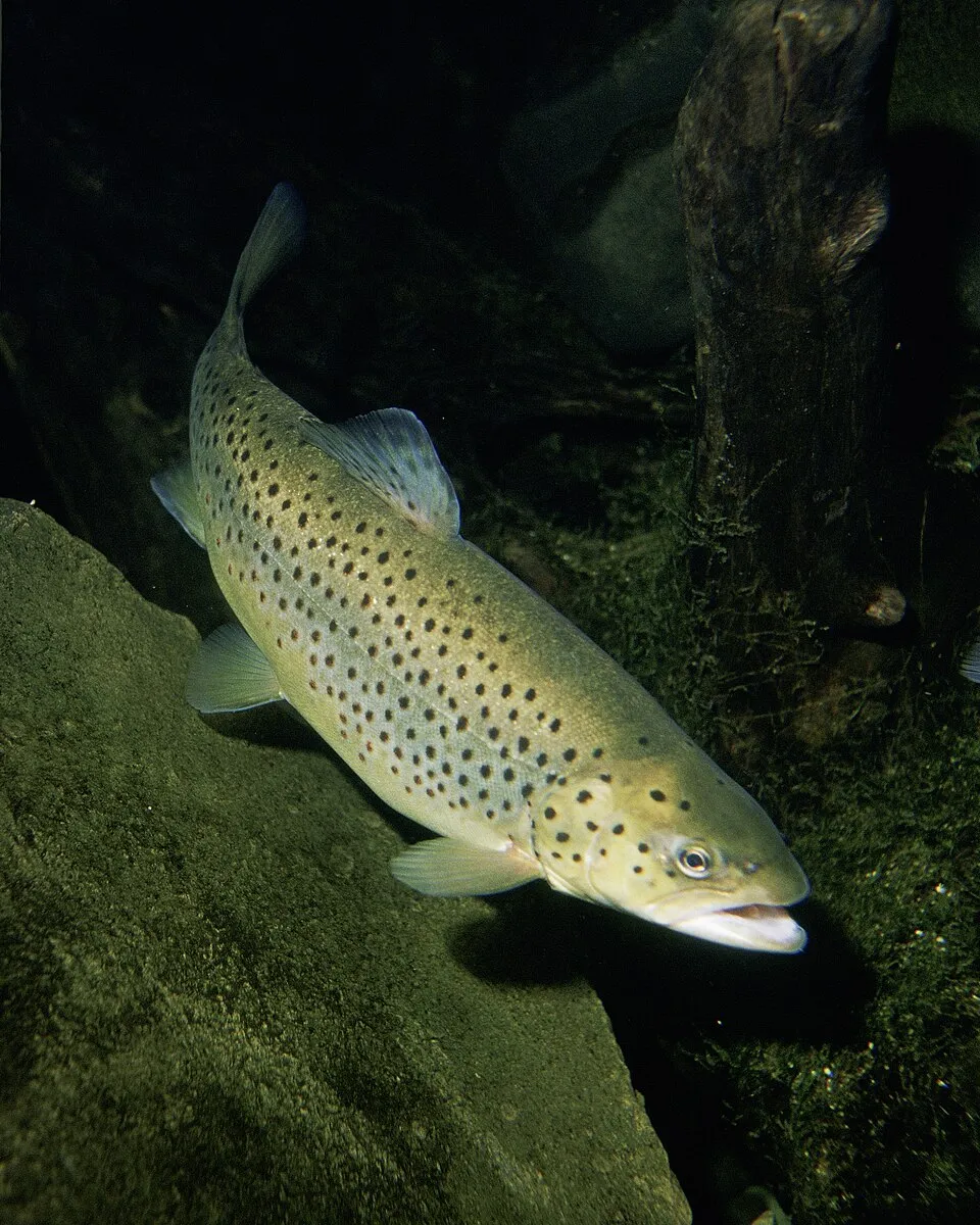
Salmo trutta3,618 records © Eric Engbretson for U.S. Fish and Wildlife Service · Public domain
France · Terrestrial
Regional nature park of 62,579 hectares in France, established in 1977.
Regional nature park of 62,579 hectares in France, established in 1977.
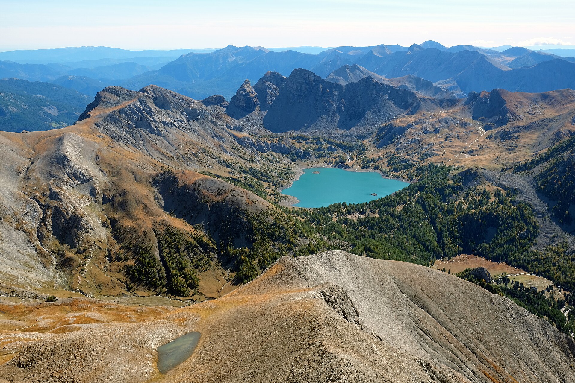
Queyras Regional Natural Park is a regional nature park in France (Europe). It is a predominantly terrestrial area. Established in 1977, it covers about 62,579 hectares.
Protected as a regional nature park. International labels and designations: Natura 2000 network (5 sites). Key dates: established in 1977, first Natura 2000 site under the Birds Directive in 2006 and first Natura 2000 site under the Habitats Directive in 2006.
Sources: Wikidata (CC0) for establishment and international labels; EEA Natura 2000 database (CC-BY 4.0) for site designation dates.
In France (Europe). Representative point: 44.7174° N, 6.8677° E.
About 62,579 hectares (626 km²). It is the 55th largest of the 59 regional parks in France covered by Parkavela.
In 1977.
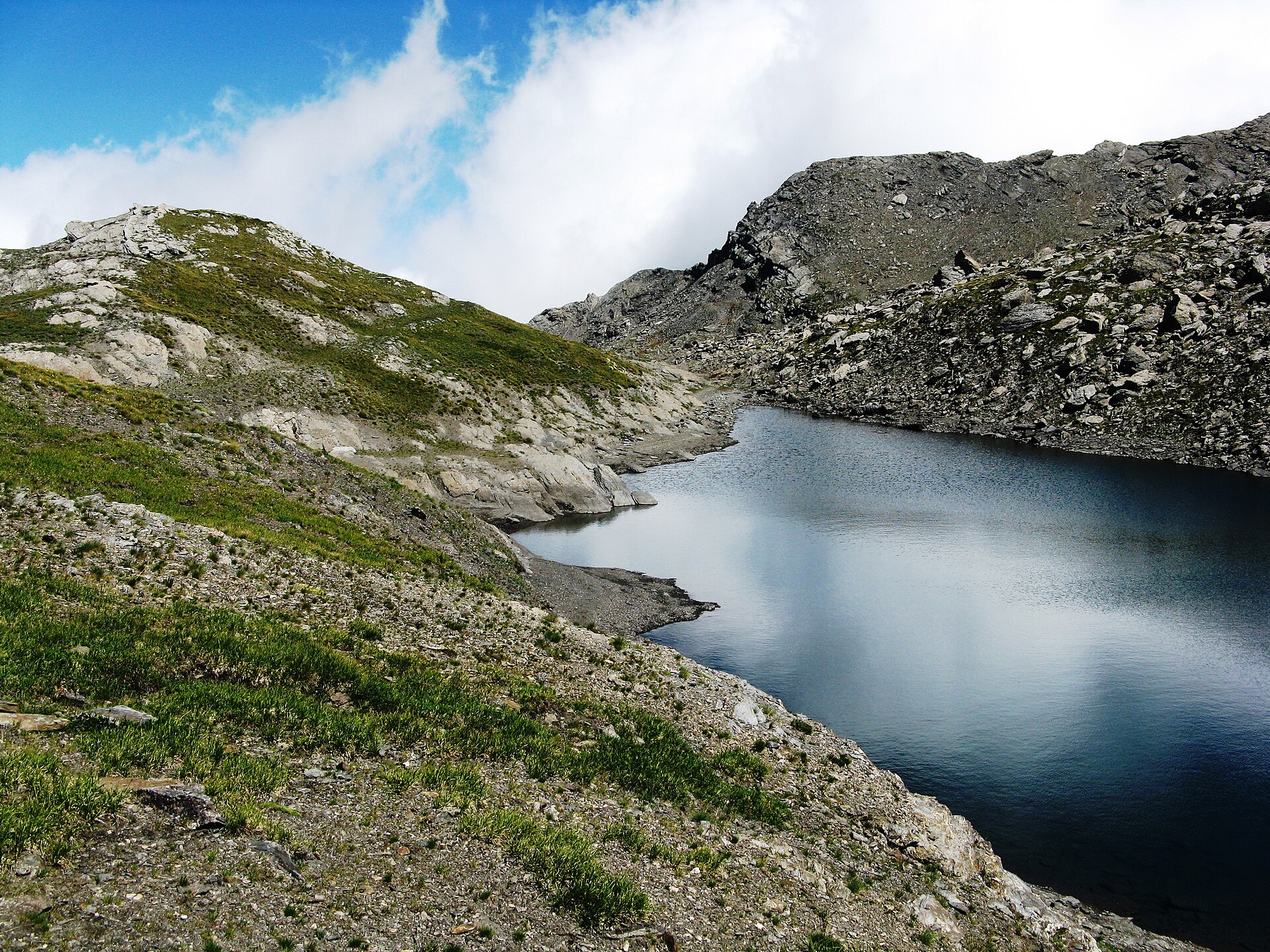
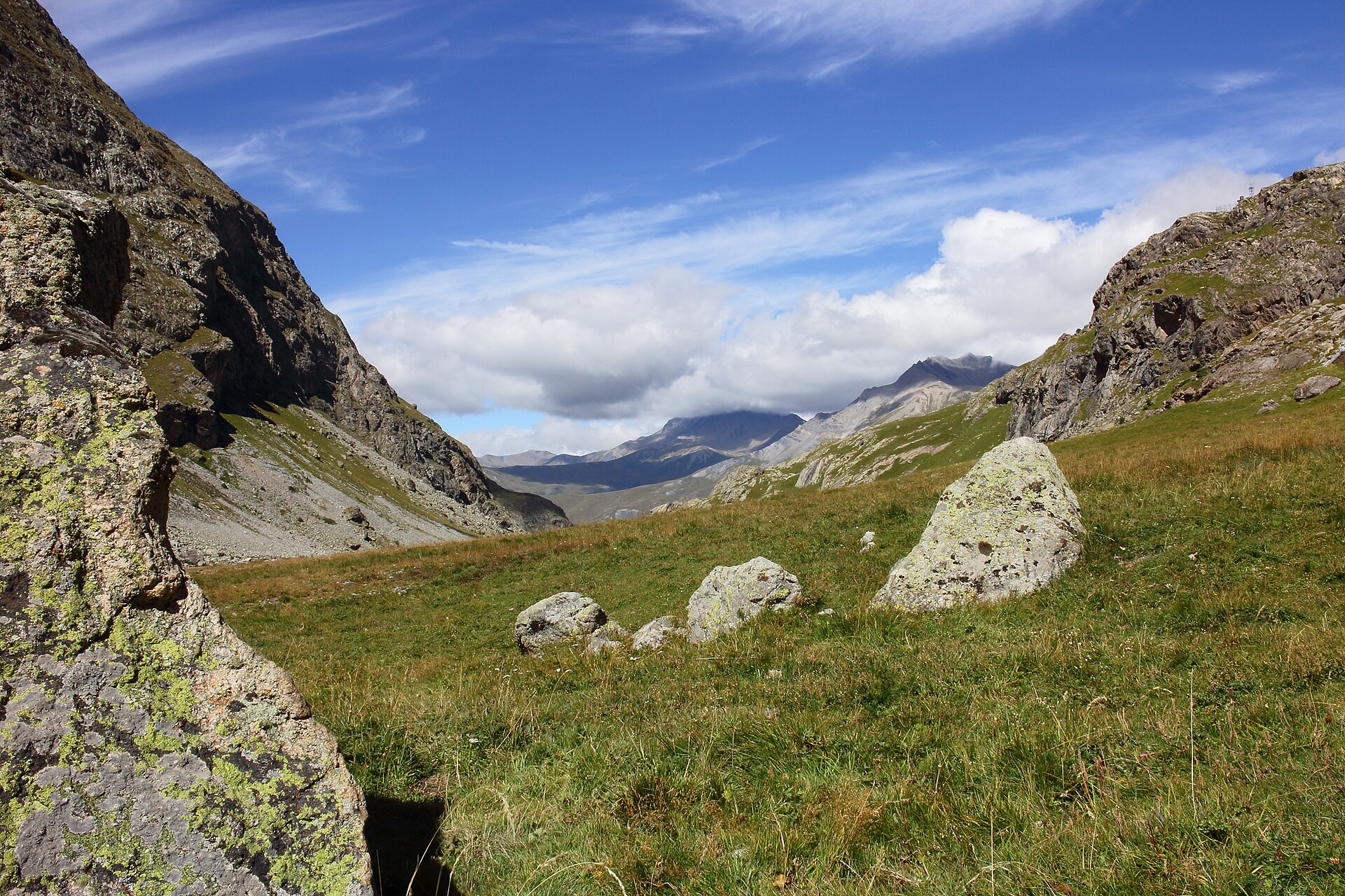
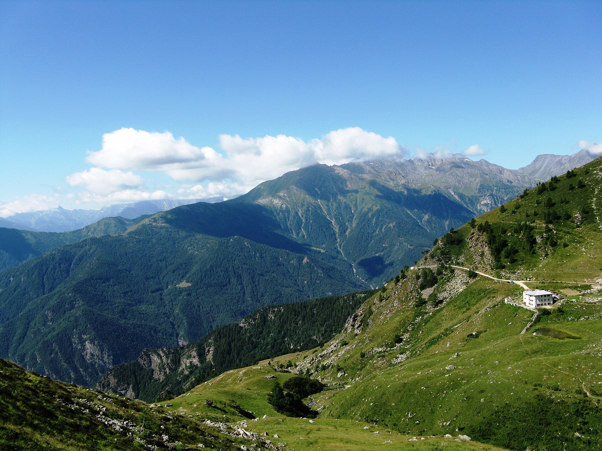
A terrestrial area, with forests and mountains.
According to the BRGM's simplified lithological map, the bedrock consists mainly of shales and sandstones (56% of sampled points) and ophiolites (44%). These are mostly metamorphic rocks.
Natura 2000 network (5 sites).
Best time to visit: July and August, with average temperatures of 11 to 12 °C and moderate rainfall.
Yes. According to NASA's MODIS satellites (2015–2025 average), snow covers most of the site from November to April, and until May on higher ground, with about 170 snow-covered days a year on average.
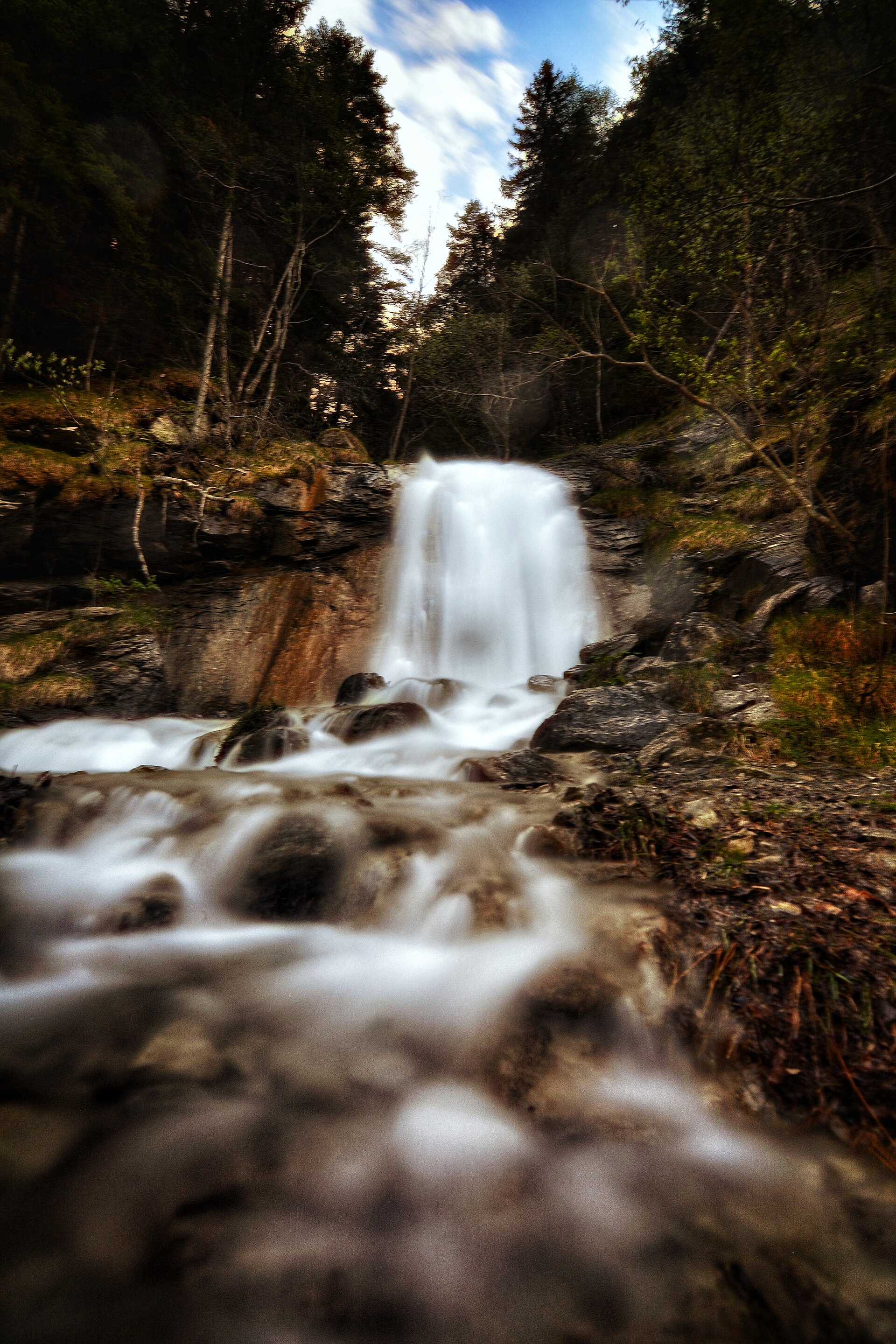
33 viewpoints, 4 waterfalls, 43 lakes and ponds and 1 cave, including Pic Ouest de la Côte Belle (2,856 m), Cascade de la Pisse, Lac Blanchet Supérieur (3,025 m) and Buco di Viso (2,882 m) (OpenStreetMap).
17 mountain huts and 21 campsites, including Refuge Agnel d'hiver (2,582 m), Aire Camping car Abriès-Ristolas and Refuge Agnel (2,580 m) (OpenStreetMap).
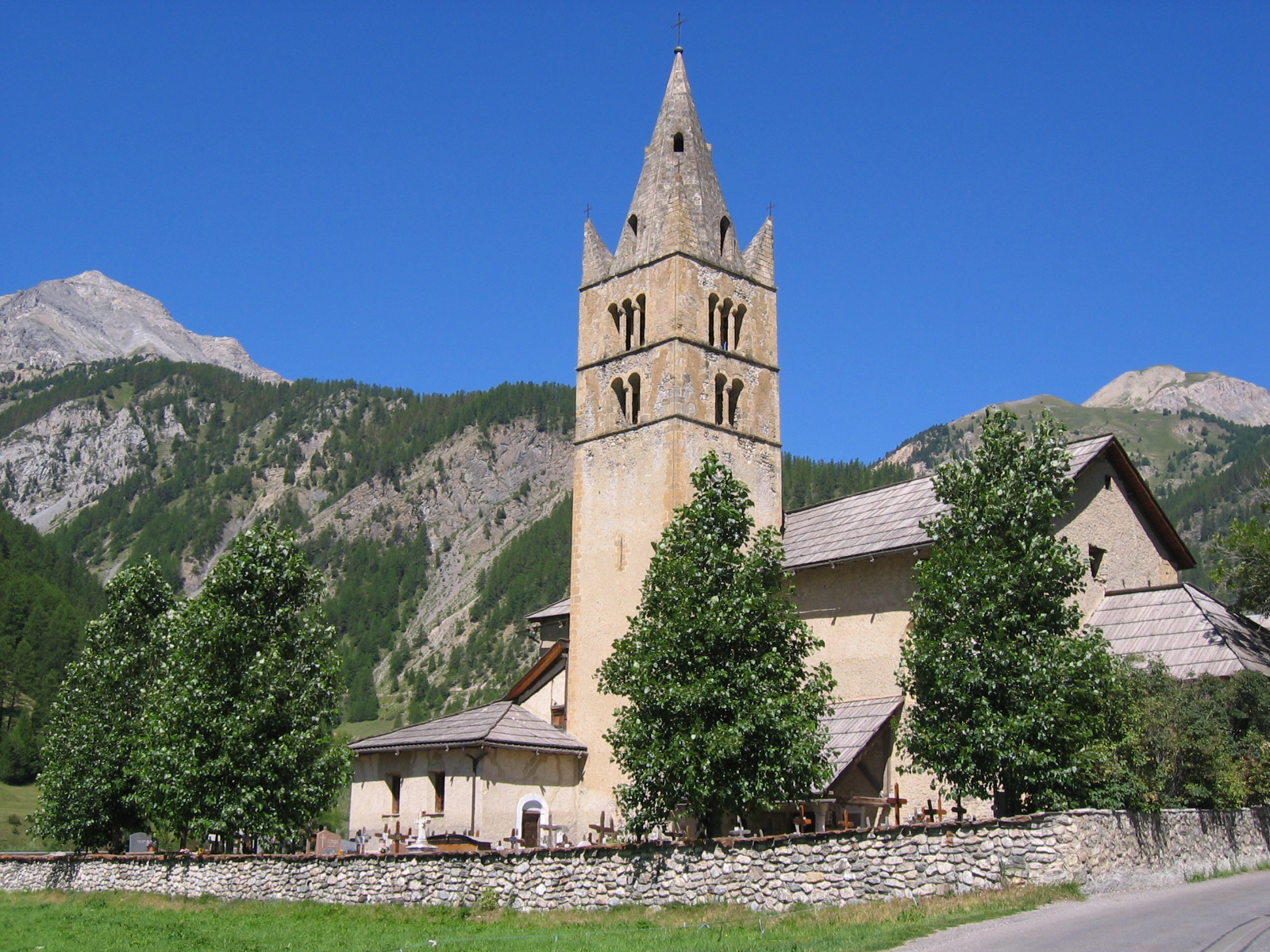
Yes. According to the French Ministry of Culture's Mérimée database, 19 historic monuments stand within the boundary, 6 of them with the highest level of protection (classé). For example: “Maison, au hameau de la Rua” in Molines-en-Queyras, “Église Saint-Laurent” in Arvieux and “Maison-ferme dite maison Chabrand” in Ceillac.
Nearest towns of over 50,000 people, as the crow flies: Cuneo (50 km) and Grenoble (85 km). Nearest airport: Cuneo (CUF), about 46 km away.
The nearest railway station is Oulx-Césane-Clavières-Sestrières, about 21 km from the site boundary.
Office de tourisme de Saint-Véran and Point d'information Col Agnel.
Among the species most often recorded on GBIF are Salmo trutta (Brown Trout), Astragalus alopecurus, Aquila chrysaetos (Golden Eagle) and Juniperus communis (Common Juniper).
© OpenStreetMap
Download the boundary: GeoJSON · GPX Boundary © OpenStreetMap contributors (ODbL).
The representative point of the site lies at around 2,249 m above sea level. Over the 1996–2025 period, the mean annual temperature is about 1.9 °C and total precipitation reaches roughly 1,163 mm per year. The warmest month is usually July, the coolest January, and the wettest May. According to the BRGM's simplified lithological map, the bedrock consists mainly of shales and sandstones (56% of sampled points) and ophiolites (44%). These are mostly metamorphic rocks.
Terrain: Mapzen Terrain Tiles (SRTM, USGS)
share of the site in each elevation band (smoothed terrain model: summits are rounded off) · Terrain: Mapzen Terrain Tiles (SRTM, USGS)
Metamorphic rocks 100 %
Source: BRGM, simplified lithological map at 1:1,000,000 (Licence Ouverte), 16 points sampled within the boundary.
● Mean temperature (°C) · ▮ Precipitation (mm)
Source: Copernicus ERA5-Land (C3S, doi:10.24381/cds.68d2bb30), monthly averages 1996–2025 interpolated to the representative point, temperatures adjusted for elevation.
Contains modified Copernicus Climate Change Service information 2026. Neither the European Commission nor ECMWF is responsible for any use that may be made of the Copernicus information or data it contains.
average share of the site under snow · snowiest parts · ≈ 170 days a year
Snow cover: MODIS/Terra MOD10CM v61 (Hall & Riggs, 2021, NASA NSIDC DAAC, doi:10.5067/MODIS/MOD10CM.061), imagery from NASA GIBS (ESDIS); 2015–2025 average, grid of about 5 km.
According to CORINE Land Cover (2018), the site is mainly made up of forests (32%), grassland and meadows (29%) and bare rock and scree (17%). Woodland is mostly coniferous. Elevation ranges from about 1,370 to 3,080 m (sampled elevations, SRTM). Median elevation is 2,255 m, and 27% of the site lies above 2,500 m (SRTM elevation model). The terrain is steep: 29% of slopes exceed 30° (mean slope 25°). The 5 Natura 2000 sites overlapping the area list 39 habitats of European interest (7 priority), the most extensive being alpine Larix decidua and/or Pinus cembra forests, calcareous and calcshist screes of the montane to alpine levels (Thlaspietea rotundifolii) and alpine and subalpine calcareous grasslands.
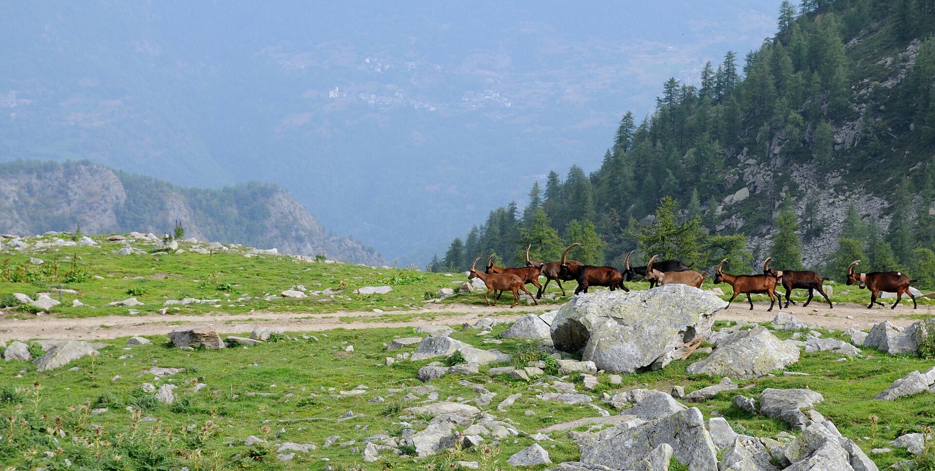
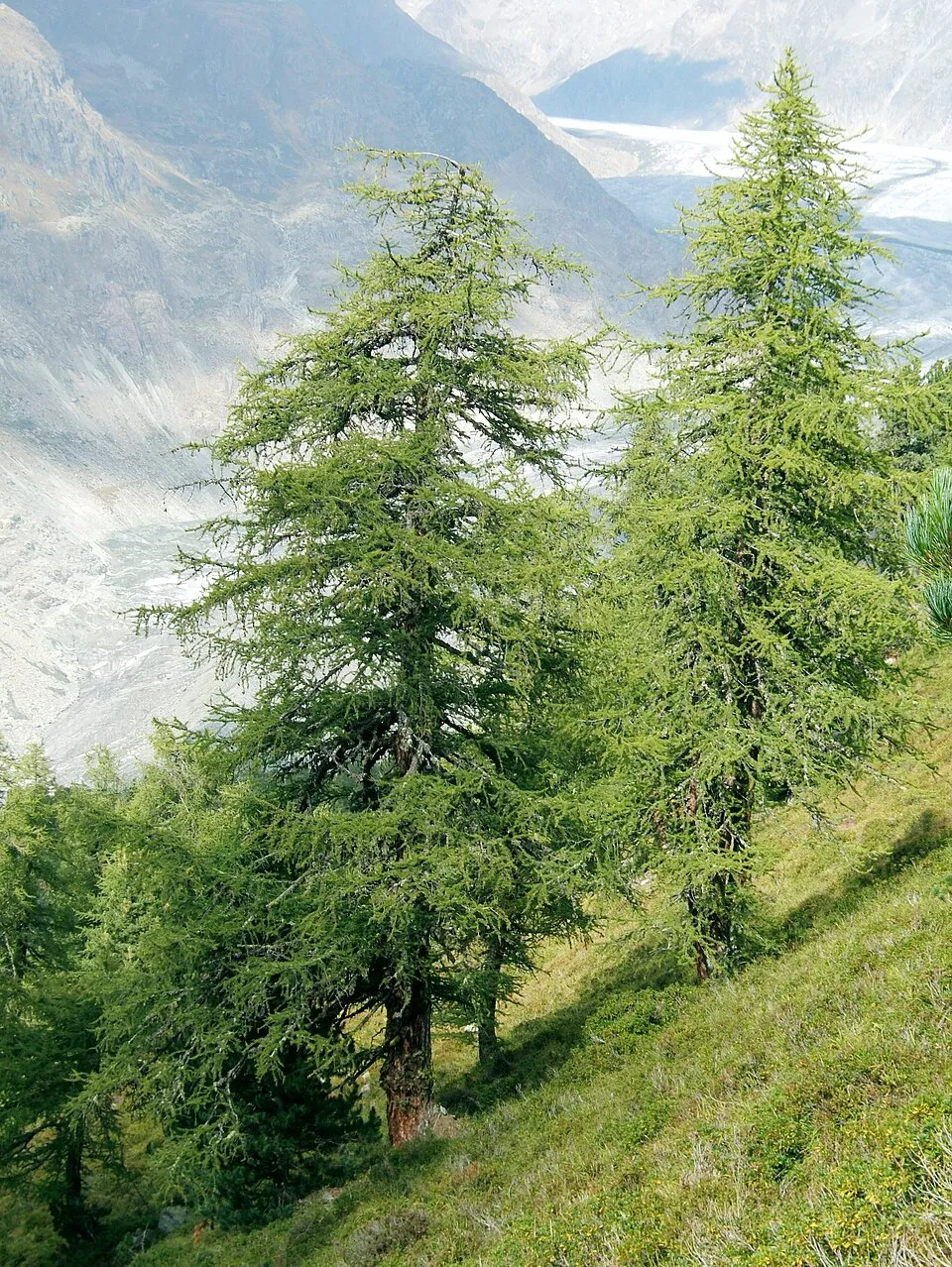
Based on occurrences aggregated by GBIF, several species are regularly recorded within the site. Among the most frequent are Salmo trutta (Brown Trout), Astragalus alopecurus, Aquila chrysaetos (Golden Eagle) and Juniperus communis (Common Juniper). The full list of documented taxa is shown below. The overlapping Natura 2000 sites list 64 species of European interest: 19 birds, 8 mammals, 5 reptiles, 3 amphibians, 3 fish, 18 invertebrates and 8 plants.
From the official forms of the 5 Natura 2000 sites overlapping the area (areas reported for each whole site).
and 31 more
Common Sandpiper (Actitis hypoleucos) breeding, Boreal Owl (Aegolius funereus) resident, Rock Partridge (Alectoris graeca saxatilis) resident, Golden Eagle (Aquila chrysaetos) resident passage, Eurasian Eagle-owl (Bubo bubo) resident, Short-toed Snake Eagle (Circaetus gallicus) breeding passage, Black Woodpecker (Dryocopus martius) resident, Ortolan Bunting (Emberiza hortulana) passage breeding, Peregrine Falcon (Falco peregrinus) resident, Eurasian Pygmy Owlet (Glaucidium passerinum) resident, Bearded vulture (Gypaetus barbatus) passage wintering breeding, Griffon Vulture (Gyps fulvus) passage and 7 more
Barbastelle (Barbastella barbastellus), Grey wolf (Canis lupus), Bechstein's bat (Myotis bechsteinii), Lesser mouse-eared myotis (Myotis blythii), Geoffroy's bat (Myotis emarginatus), Greater mouse-eared bat (Myotis myotis), Greater Horseshoe Bat (Rhinolophus ferrumequinum), Lesser horseshoe bat (Rhinolophus hipposideros)
Dark green snake (Coluber viridiflavus), Smooth snake (Coronella austriaca), European Pond Turtle (Emys orbicularis), Green lizard (Lacerta viridis), Common wall lizard (Podarcis muralis)
Midwife toad (Alytes obstetricans), Yellow-bellied toad (Bombina variegata), Natterjack (Bufo calamita)
European bullhead (Cottus gobio), South-West European Nase (Parachondrostoma toxostoma), Souffia (Telestes souffia)
White-clawed Crayfish (Austropotamobius pallipes), Greater Capricorn Beetle (Cerambyx cerdo), Southern damselfly (Coenagrion mercuriale), Eastern Eggar (Eriogaster catax), Marsh fritillary (Euphydryas aurinia), Jersey Tiger (Euplagia quadripunctaria), Spanish Moon Moth (Graellsia isabellae), Seathorn Hawk-moth (Hyles hippophaes), Stag beetle (Lucanus cervus), Large Blue (Maculinea arion), Hermit beetle (Osmoderma eremita), Southern Swallowtail (Papilio alexanor) and 6 more
Astragalus alopecurus, Little grapefern (Botrychium simplex), Lady's-slipper orchid (Cypripedium calceolus), Austrian Dragonhead (Dracocephalum austriacum), Alpine Sea Holly (Eryngium alpinum), Fen orchid (Liparis loeselii), Orthotrichum rogeri, Riccia breidleri
Source: Natura 2000 standard data forms (EEA, CC-BY 4.0). Not exhaustive: sensitive species are not published.
Fish
3,618 records © Eric Engbretson for U.S. Fish and Wildlife Service · Public domain
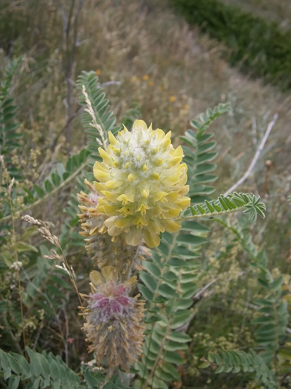
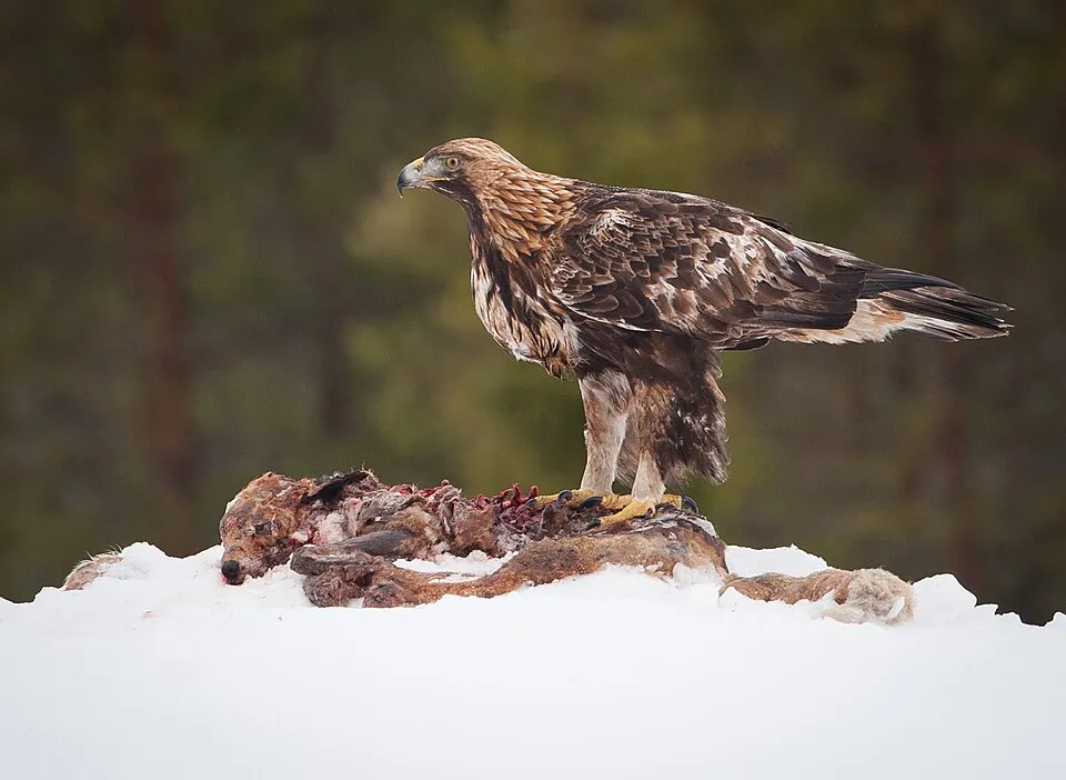
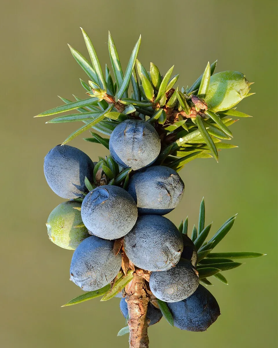
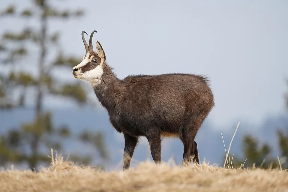
Occurrences documented via GBIF; they are neither an exhaustive inventory nor proof of current presence.
Records: GBIF.org (CC-BY). Names: Wikidata (CC0), GBIF. Photos: Wikimedia Commons.
The primary purpose of the site is to preserve its natural habitats and the biodiversity they support. The species recorded (Biodiversity tab) reflect its ecological value. The designations it holds frame its management and the control of land use.
According to Global Forest Change data (University of Maryland, Global Forest Watch), about 170 ha of tree cover were lost within the boundary between 2001 and 2023 (under 1% of its area), peaking in 2002 and 2019. These losses include logging, storms and fires, and do not account for regrowth. According to CORINE Land Cover, land cover here remained almost unchanged between 1990 and 2018 (less than 0.5% of the area affected). At night, the area gives off virtually no artificial light detectable from space (NASA VIIRS Black Marble composite, 2016). According to the Natura 2000 forms, of 39 assessed habitats of European interest, 30 are in excellent condition and the rest in good condition. According to the Water Framework Directive assessment (2022 river basin management plans, data 2015–2017), 82% of the 200 km of rivers assessed within the site are in good or high ecological status. Since 2000, 12 invasive alien species have been recorded within the site (GBIF observations), one of them listed as of Union concern under EU Regulation 1143/2014. Among them: Heracleum mantegazzianum (Giant Hogweed), Salvelinus fontinalis (Brook trout) and Matricaria discoidea (Pineappleweed).
170 ha
2001–2023 · < 1% of the area
0
No large fire mapped (fires over about 30 ha)
0%
of the area gives off artificial light visible from space
< 1%
buildings, business areas, roads, quarries
< 0.5%
of the area changed, 1990–2018 · CORINE
82%
of the 200 km of assessed rivers in good or high ecological status · WFD 2022
assessments 2015–2017
12
incl. 1 of EU concern · since 2000
 Giant HogweedEU
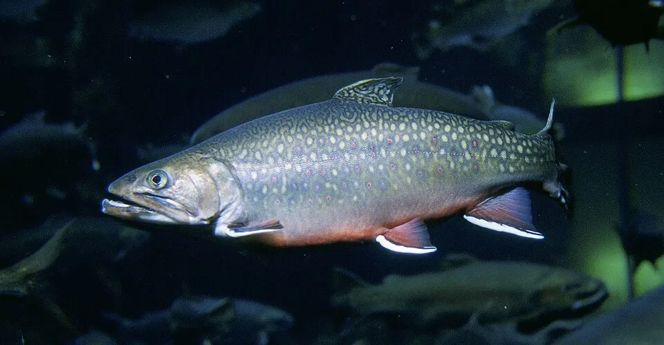 Brook trout
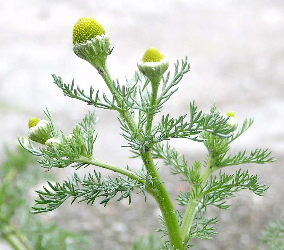 Pineappleweed
 Common Laburnum
 Black locust
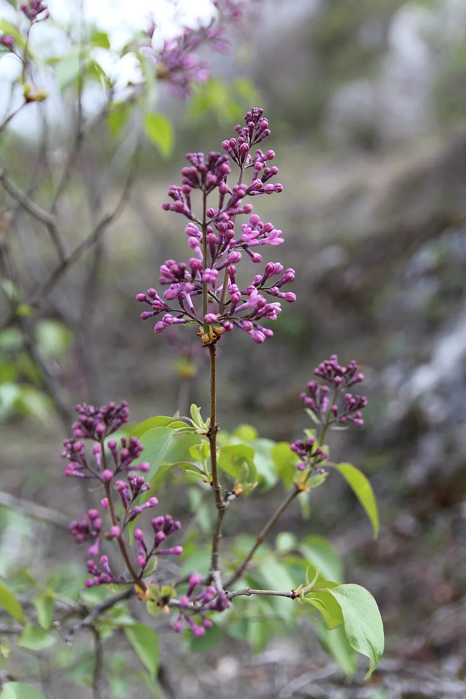 Common Lilac
 Japanese rose
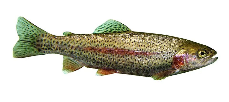 Rainbow trout
Photos: Giant Hogweed © anastasiiamerkulova · CC BY 4.0; Brook trout © Engbretson, Eric · Public domain; Pineappleweed © Krzysztof Ziarnek · CC BY-SA 3.0; Common Laburnum © Enrico Blasutto · CC BY-SA 4.0; Black locust © This Photo was taken by Wolfgang Moroder. Feel free to use my photos, but please mention me as the author and send me a message. This image is not in the public domain. Please respect the copyright protection. It may only be used according… · CC BY-SA 3.0; Common Lilac © Aporia.j · CC BY-SA 4.0; Japanese rose © Vihljun · Public domain; Rainbow trout © Jonathunder · CC BY-SA 3.0
Sources: Global Forest Change (Hansen et al., University of Maryland, via Global Forest Watch, CC-BY 4.0); EFFIS, European Commission / Copernicus; NASA Black Marble 2016 (public domain); CORINE Land Cover 2018 (Copernicus) or MODIS.
CORINE Land Cover Change 1990–2018: generated using European Union's Copernicus Land Monitoring Service information (EEA), aggregated by Parkavela; DOI 10.2909/f30f1000-7cf8-43bb-872c-5eb093911b24.
Ecological status of water bodies: European Environment Agency, WISE – Water Framework Directive, 3rd river basin management plans (2022), CC BY 4.0. Official national classification, not comparable between countries.
Invasive alien species: Global Register of Introduced and Invasive Species (ISSG, CC BY 4.0); Union list, Regulation (EU) 1143/2014 (INBO, CC0); GBIF.org records (CC0 / CC BY 4.0), at least 2 per species.
33 viewpoints · 4 waterfalls · 43 lakes and ponds · 1 cave
17 mountain huts · 21 campsites
Signed cycle routes: this does not mean that cycling is allowed on footpaths.
Reported by OpenStreetMap contributors (ODbL); check with the park before visiting.
Data © OpenStreetMap contributors (ODbL) · Wikidata (CC0)
Routes © OpenStreetMap contributors (ODbL), via Waymarked Trails
The nearest railway station is Oulx-Césane-Clavières-Sestrières, about 21 km from the site boundary. Nearest towns of over 50,000 people, as the crow flies: Cuneo (50 km) and Grenoble (85 km). Nearest airport: Cuneo (CUF), about 46 km away. About 88,000 people live within 20 km of the site boundary, 23,000 of them within 10 km; some 2,500 people are estimated to live inside (GHSL estimate, 2020). Visitor information on site: Office de tourisme de Saint-Véran and Point d'information Col Agnel. A signed cycle route crosses the site: “VRGA Route des Grandes Alpes à vélo” (OpenStreetMap). OpenStreetMap contributors list one wheelchair-accessible place: Office de tourisme de Saint-Véran; check with the park before visiting. To see: 33 viewpoints, 4 waterfalls, 43 lakes and ponds and 1 cave, including Pic Ouest de la Côte Belle (2,856 m), Cascade de la Pisse, Lac Blanchet Supérieur (3,025 m) and Buco di Viso (2,882 m). Where to stay: 17 mountain huts and 21 campsites, including Refuge Agnel d'hiver (2,582 m), Aire Camping car Abriès-Ristolas and Refuge Agnel (2,580 m). To plan a visit (access, opening periods, visitor rules), it is best to consult the official information from the managing body and the official website listed in this page's sources.
Source: OpenStreetMap (ODbL), Wikidata (CC0), October 2026.
According to the French Ministry of Culture's Mérimée database, 19 historic monuments stand within the boundary, 6 of them with the highest level of protection (classé). Among them are 10 religious buildings, 8 houses and civic buildings and 1 castle or fortification. Notable classé monuments include “Maison, au hameau de la Rua” in Molines-en-Queyras, “Église Saint-Laurent” in Arvieux and “Maison-ferme dite maison Chabrand” in Ceillac.
and 11 more
Source: Mérimée database, French Ministry of Culture (Licence Ouverte 2.0). Each record links to the Plateforme ouverte du patrimoine (POP).
Best time to visit: July and August, with average temperatures of 11 to 12 °C and moderate rainfall. Average temperatures drop below 0 °C from November to April: frost is common. These averages apply to the site's representative point (2,249 m); higher up it is markedly cooler and snow lasts longer. According to NASA's MODIS satellites (2015–2025 average), snow covers most of the site from November to April, and until May on higher ground, with about 170 snow-covered days a year on average. Day length ranges from about 8 h 49 min in December to 15 h 33 min in June. Wildlife records published on GBIF peak for birds (July), plants (July), butterflies and moths (July), dragonflies (July and August) and mammals (July and August). These peaks also reflect when observers are most active.
Source: Copernicus ERA5-Land (C3S), monthly averages 1996–2025 at the representative point, temperatures adjusted for elevation.
Contains modified Copernicus Climate Change Service information 2026. Neither the European Commission nor ECMWF is responsible for any use that may be made of the Copernicus information or data it contains.
Monthly records published on GBIF (CC-BY), relative to the busiest month; also reflects observer activity.
Data © OpenStreetMap contributors (ODbL), Wikidata (CC0) and the sources cited.