Norway · Marine
Jomfruland National Park
National park of 11,700 hectares in Norway, established in 2016.
Overview
National park of 11,700 hectares in Norway, established in 2016.
Jomfruland National Park is located in Norway (Europe). It is a predominantly marine area. Established in 2016, it covers about 11,700 hectares.
Frequently asked questions
Where is Jomfruland National Park?
In Norway (Europe). Representative point: 58.8650° N, 9.5961° E.
How large is Jomfruland National Park?
About 11,700 hectares (117 km²). It is the 36th largest of the 41 national parks in Norway covered by Parkavela.
When was Jomfruland National Park established?
In 2016.
What habitats and landscapes does Jomfruland National Park include?
A marine area, where land cover is dominated by heath and scrub (43%).
When is the best time to visit Jomfruland National Park?
Best time to visit: from May to September, with average temperatures of 11 to 18 °C and moderate rainfall.
What is there to see in Jomfruland National Park?
2 lakes and ponds, including Doplane and Tårntjenna (OpenStreetMap).
Where can I stay in Jomfruland National Park?
1 campsite (OpenStreetMap).
What is the nearest large city to Jomfruland National Park?
Nearest towns of over 50,000 people, as the crow flies: Skien (30 km) and Tønsberg (53 km). Nearest airport: Sandefjord (TRF), about 40 km away.
Which species can be seen in Jomfruland National Park?
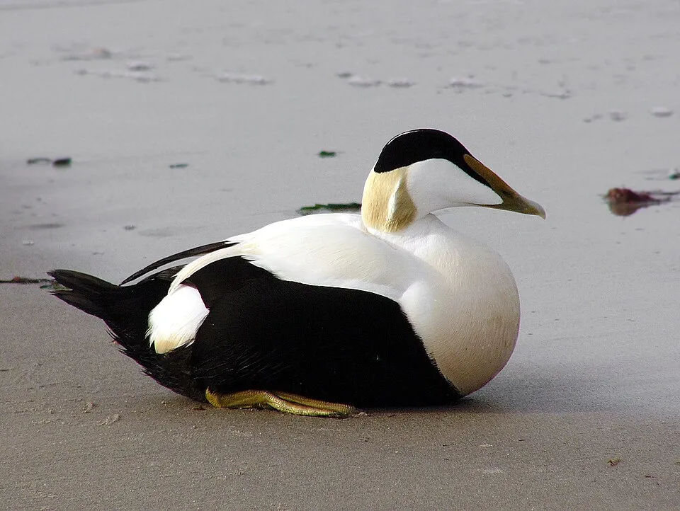
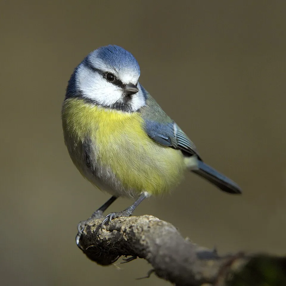
Among the species most often recorded on GBIF are Somateria mollissima (Common Eider), Cyanistes caeruleus (Eurasian blue tit), Parus major (Great tit) and Turdus merula (Common Blackbird).
© OpenStreetMap
Download the boundary: GeoJSON · GPX Boundary © OpenStreetMap contributors (ODbL).
Geography
The representative point of the site lies at around 17 m above sea level. Over the 1996–2025 period, the mean annual temperature is about 8.2 °C and total precipitation reaches roughly 1,211 mm per year. The warmest month is usually July, the coolest January, and the wettest October.
Area
- Area
- 11,700 ha
- Elevation
- 17 m
- Coordinates
- 58.865, 9.5961
Climate
● Mean temperature (°C) · ▮ Precipitation (mm)
Source: Copernicus ERA5-Land (C3S, doi:10.24381/cds.68d2bb30), monthly averages 1996–2025 interpolated to the representative point, temperatures adjusted for elevation.
Contains modified Copernicus Climate Change Service information 2026. Neither the European Commission nor ECMWF is responsible for any use that may be made of the Copernicus information or data it contains.
Natural habitats
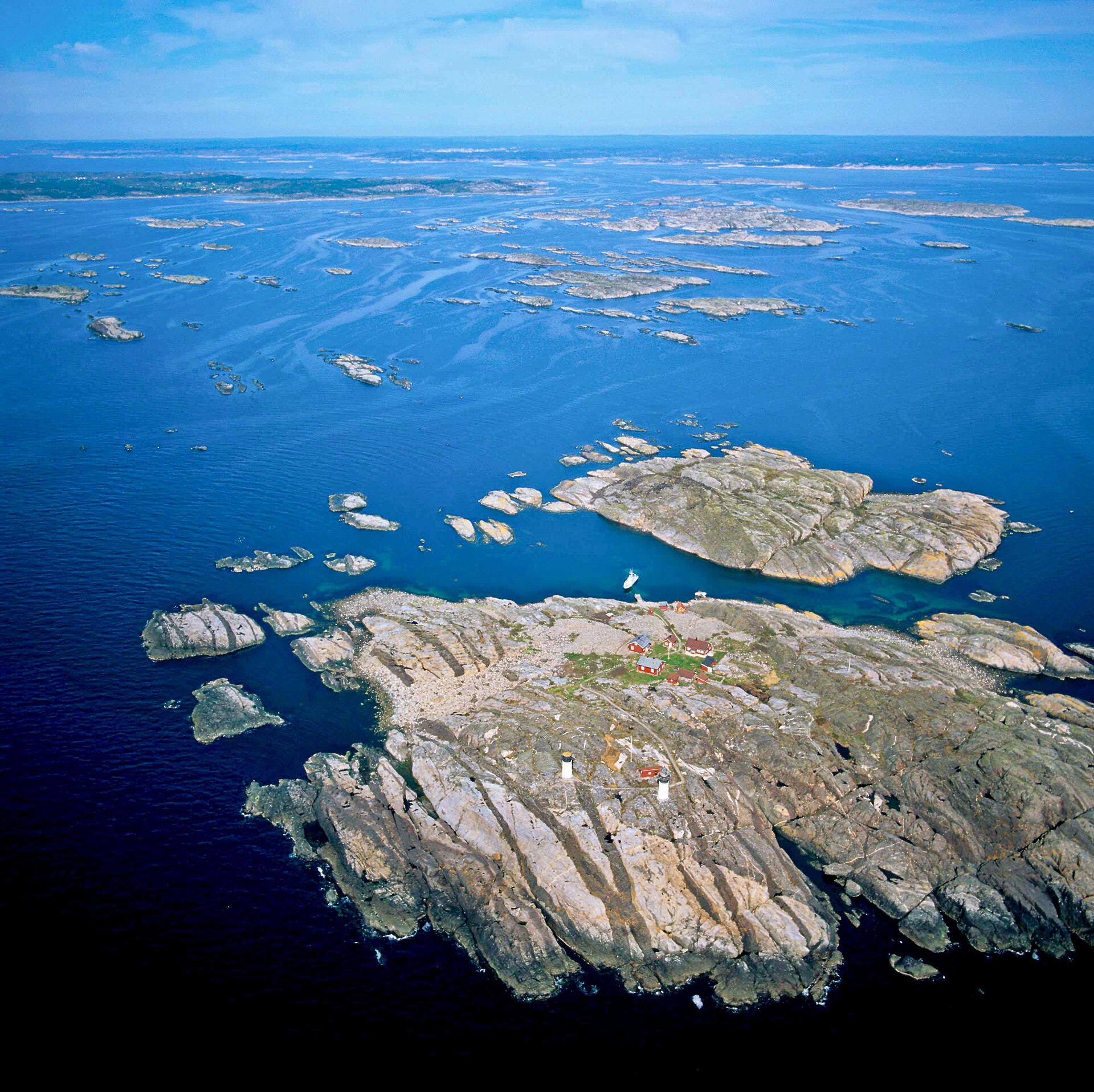
The site is almost entirely marine. The seabed reaches about 87 m deep (median depth 34 m; GEBCO bathymetry).
Biodiversity
Based on occurrences aggregated by GBIF, several species are regularly recorded within the site. Among the most frequent are Somateria mollissima (Common Eider), Cyanistes caeruleus (Eurasian blue tit), Parus major (Great tit) and Turdus merula (Common Blackbird). The full list of documented taxa is shown below.
Species to look out for



Observed species
Occurrences documented via GBIF; they are neither an exhaustive inventory nor proof of current presence.
- Common Eider · Somateria mollissima · 18436
- Eurasian blue tit · Cyanistes caeruleus · 18090
- Great tit · Parus major · 18039
- Common Blackbird · Turdus merula · 17740
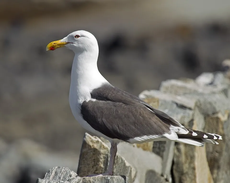
- Great Black-backed Gull · Larus marinus · 17689
- European Herring Gull · Larus argentatus · 17566
- Hooded Crow · Corvus cornix · 16980
- Great Cormorant · Phalacrocorax carbo · 15972
- Common Starling · Sturnus vulgaris · 15614
- Common Gull · Larus canus · 15273
- European robin · Erithacus rubecula · 15209
- Eurasian Chaffinch · Fringilla coelebs · 15148
Records: GBIF.org (CC-BY). Names: Wikidata (CC0), GBIF. Photos: Wikimedia Commons.
Conservation challenges
The primary purpose of the site is to preserve its natural habitats and the biodiversity they support. The species recorded (Biodiversity tab) reflect its ecological value. Its status as a national park sets the regulatory framework for its protection.
According to the Water Framework Directive assessment (2022 river basin management plans, data 2018–2021), water bodies assessed within the site: coastal waters, 11 of 12 in good ecological status or better. Invasive alien species have been recorded within the site since 2000 (GBIF observations), several of them on the European Union's list. Among them: Alopochen aegyptiaca (Egyptian Goose), Mustela vison (American mink) and Reynoutria japonica (Japanese Knotweed).
Pressure indicators
Built-up land
< 1%
buildings, business areas, roads, quarries
Rivers and lakes
Coastal waters: 11 of 12 good or better
assessments 2018–2021
Invasive alien species
4
incl. 4 on the EU list · since 2000
 Egyptian Goose
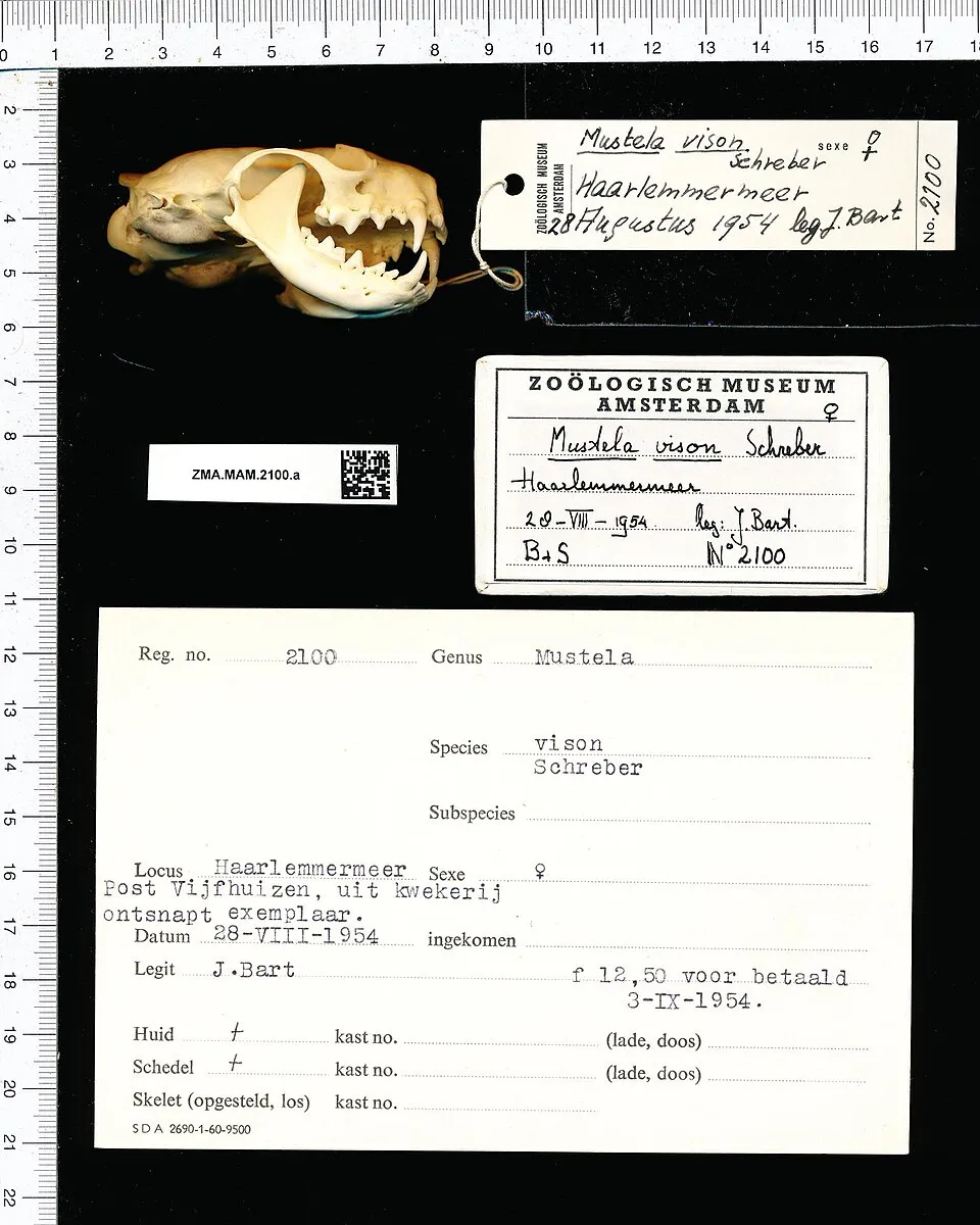 American minkEU
 Japanese Knotweed
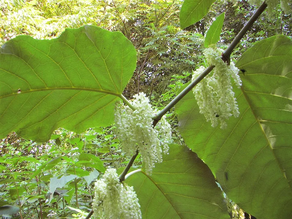 Giant KnotweedEU
Photos: Egyptian Goose © Rhododendrites · CC BY-SA 4.0; American mink © Schreber · CC0-1.0; Japanese Knotweed © W.carter · CC0-1.0; Giant Knotweed © Velocicaptor · Public domain
Sources: Global Forest Change (Hansen et al., University of Maryland, via Global Forest Watch, CC-BY 4.0); EFFIS, European Commission / Copernicus; NASA Black Marble 2016 (public domain); CORINE Land Cover 2018 (Copernicus) or MODIS.
Ecological status of water bodies: European Environment Agency, WISE – Water Framework Directive, 3rd river basin management plans (2022), CC BY 4.0. Official national classification, not comparable between countries.
Invasive alien species: Global Register of Introduced and Invasive Species (ISSG, CC BY 4.0); Union list, Regulation (EU) 1143/2014 (INBO, CC0); GBIF.org records (CC0 / CC BY 4.0), at least 2 per species.
Practical information
Cities and airport
- Skien
30 km as the crow flies - Tønsberg
53 km as the crow flies - Airport: Sandefjord (TRF)
40 km as the crow flies
Where to stay
1 campsite
Data © OpenStreetMap contributors (ODbL) · Wikidata (CC0)
Access and visiting
Nearest towns of over 50,000 people, as the crow flies: Skien (30 km) and Tønsberg (53 km). Nearest airport: Sandefjord (TRF), about 40 km away. About 69,000 people live within 20 km of the site boundary, 23,000 of them within 10 km (GHSL estimate, 2020). This population has grown by about 9% since 2000. To see: 2 lakes and ponds, including Doplane and Tårntjenna. Where to stay: 1 campsite. To plan a visit (access, opening periods, visitor rules), it is best to consult the official information from the managing body and the official website listed in this page's sources.
Source: OpenStreetMap (ODbL), Wikidata (CC0), October 2026.
When to visit
Best time to visit: from May to September, with average temperatures of 11 to 18 °C and moderate rainfall. Precipitation peaks in October (up to 150 mm per month). Day length ranges from about 6 h 15 min in December to 18 h 24 min in June. Wildlife records published on GBIF peak for birds (from August to October), plants (June), butterflies and moths (July) and mammals (May). These peaks also reflect when observers are most active.
Source: Copernicus ERA5-Land (C3S), monthly averages 1996–2025 at the representative point, temperatures adjusted for elevation.
Contains modified Copernicus Climate Change Service information 2026. Neither the European Commission nor ECMWF is responsible for any use that may be made of the Copernicus information or data it contains.
Wildlife records calendar
JFMAMJJASOND
Birds
Plants
Butterflies & moths
Mammals
Monthly records published on GBIF (CC-BY), relative to the busiest month; also reflects observer activity.
Gallery
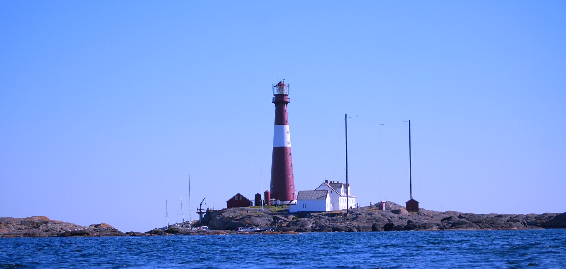
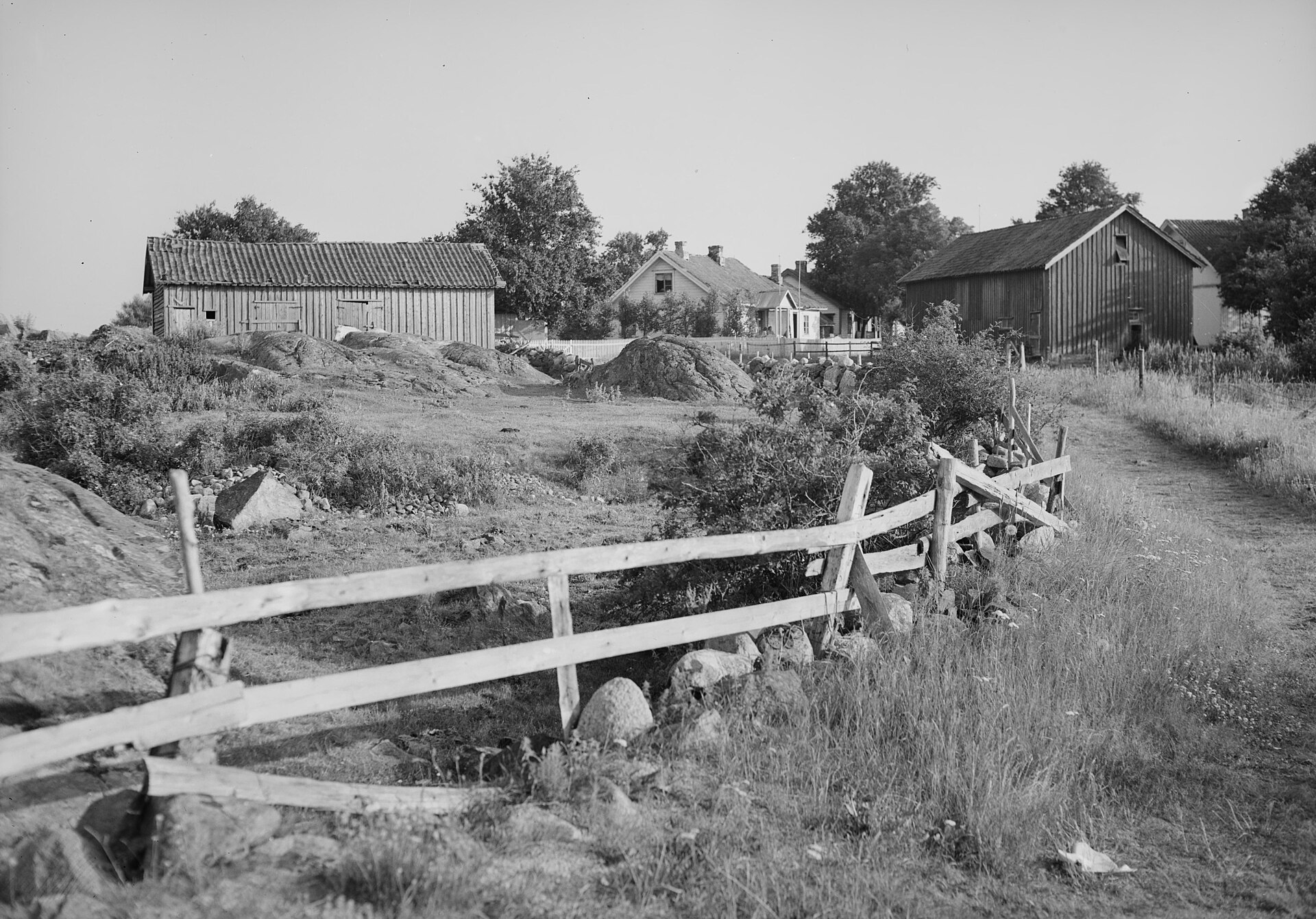
© Tholme · Public domain
© Øyvind Berg · CC BY-SA 4.0
© Magnefl · CC BY-SA 4.0
© Magne Flåten · CC BY-SA 3.0
© Magnefl · CC BY-SA 4.0
© Viola.bb · CC BY-SA 4.0
Sources and licences
- Wikidata: Q28033153
- OpenStreetMap: relation 6878090
- Wikipedia: en.wikipedia.org/wiki/Jomfruland_National_Park
- WDPA: 156009
References
- cds.climate.copernicus.eu: climate · CC-BY-4.0
- registry.opendata.aws: elevation of the reference point · PD
- land.copernicus.eu: land cover, land cover change, sea share · COPERNICUS
- doi.org: population around the site · CC-BY-4.0
- wikidata.org: official area, establishment date, protected heritage, official name, nearby cities and airport, access and peaks, places to see · CC0-1.0
- eea.europa.eu: bathing water quality, ecological status of waters · CC-BY-4.0
- gebco.net: depths · PD
- opentopodata.org: elevations · PD
- gbif.org: seasonality of sightings, invasive alien species, observed species · CC-BY-4.0
- openstreetmap.org: access and peaks, places to see, trail difficulty · ODbL-1.0
- wikidata.org: Wikipedia article · CC-BY-SA-4.0
Data © OpenStreetMap contributors (ODbL), Wikidata (CC0) and the sources cited.