Japan · Marine
Kerama Shotō National Park
National park of 3,520 hectares in Japan, established in 2014.
Overview
National park of 3,520 hectares in Japan, established in 2014.
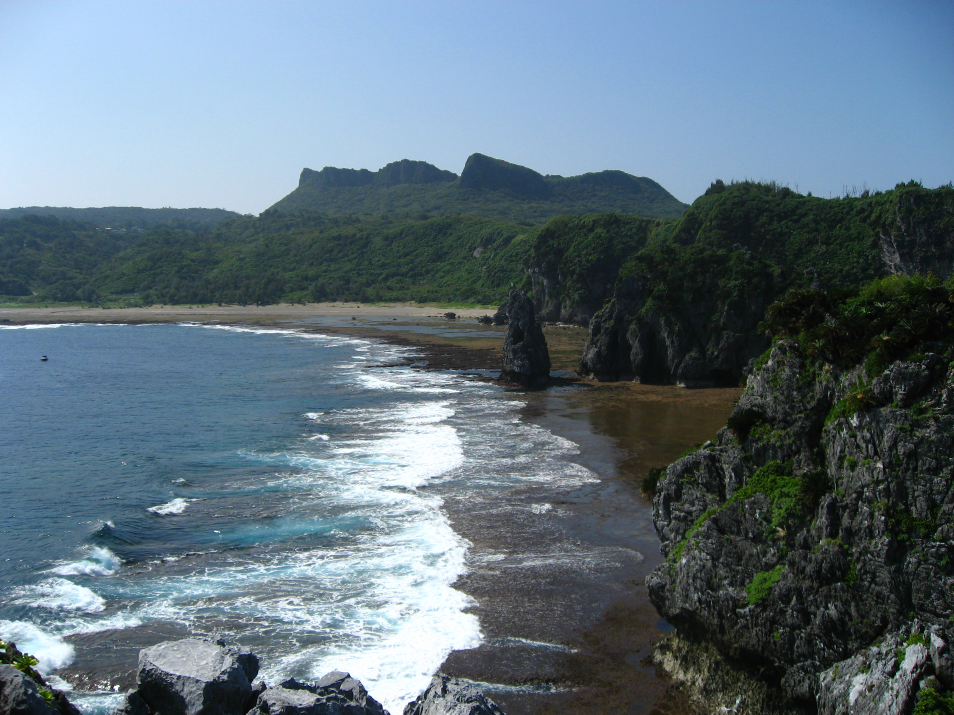
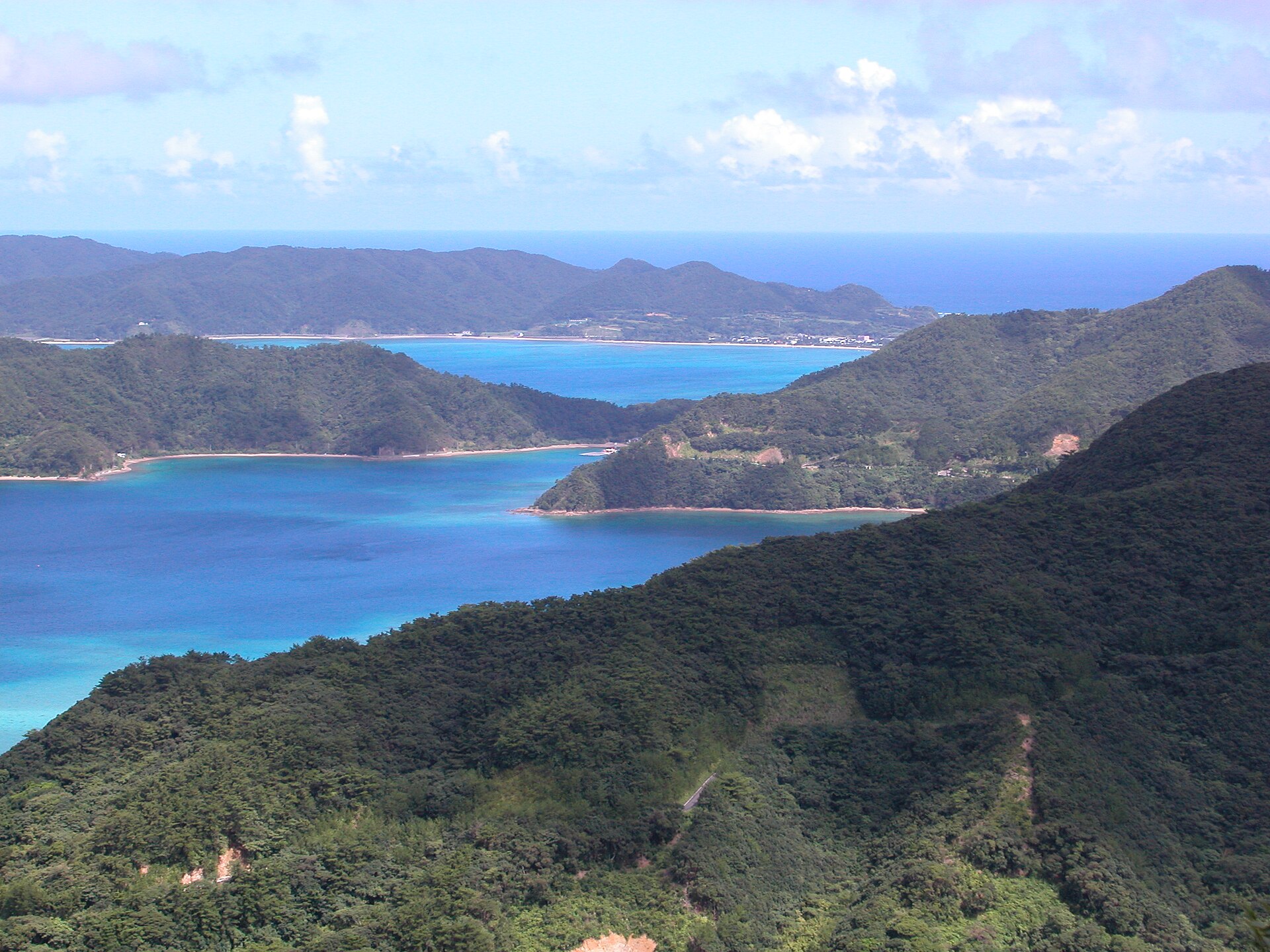
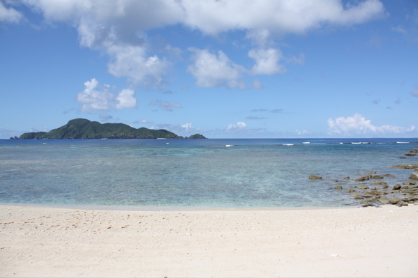
Kerama Shotō National Park is located in Japan (Asia). It is a predominantly marine area. Established on 5 March 2014, it covers about 3,520 hectares.
Protections and designations
Ramsar site
Protected as a national park. International labels and designations: Ramsar site (“Kerama Islands”).
In our collections
Frequently asked questions
Where is Kerama Shotō National Park?
In Japan (Asia). Representative point: 26.1973° N, 127.3446° E.
How large is Kerama Shotō National Park?
About 3,520 hectares (35 km²). It is the 35th largest of the 35 national parks in Japan covered by Parkavela. About 3,200 ha are at sea.
When was Kerama Shotō National Park established?
On 5 March 2014.
What habitats and landscapes does Kerama Shotō National Park include?
A marine area, with coasts and coral reefs.
Which international labels apply to Kerama Shotō National Park?
Ramsar site (“Kerama Islands”).
When is the best time to visit Kerama Shotō National Park?
Best time to visit: the dry season, from December to February, with less than 120 mm of rain per month.
What is the nearest large city to Kerama Shotō National Park?
Nearest towns of over 50,000 people, as the crow flies: Naha (21 km) and Urasoe (26 km). Nearest airport: Naha (OKA), about 18 km away.
How can I reach Kerama Shotō National Park by train?
The nearest railway station is Miebashi, about 22 km from the site boundary.
Where can I get visitor information on site?
Keramashoto National Park Visitor Center.
Which species can be seen in Kerama Shotō National Park?
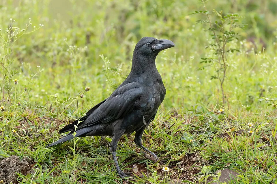
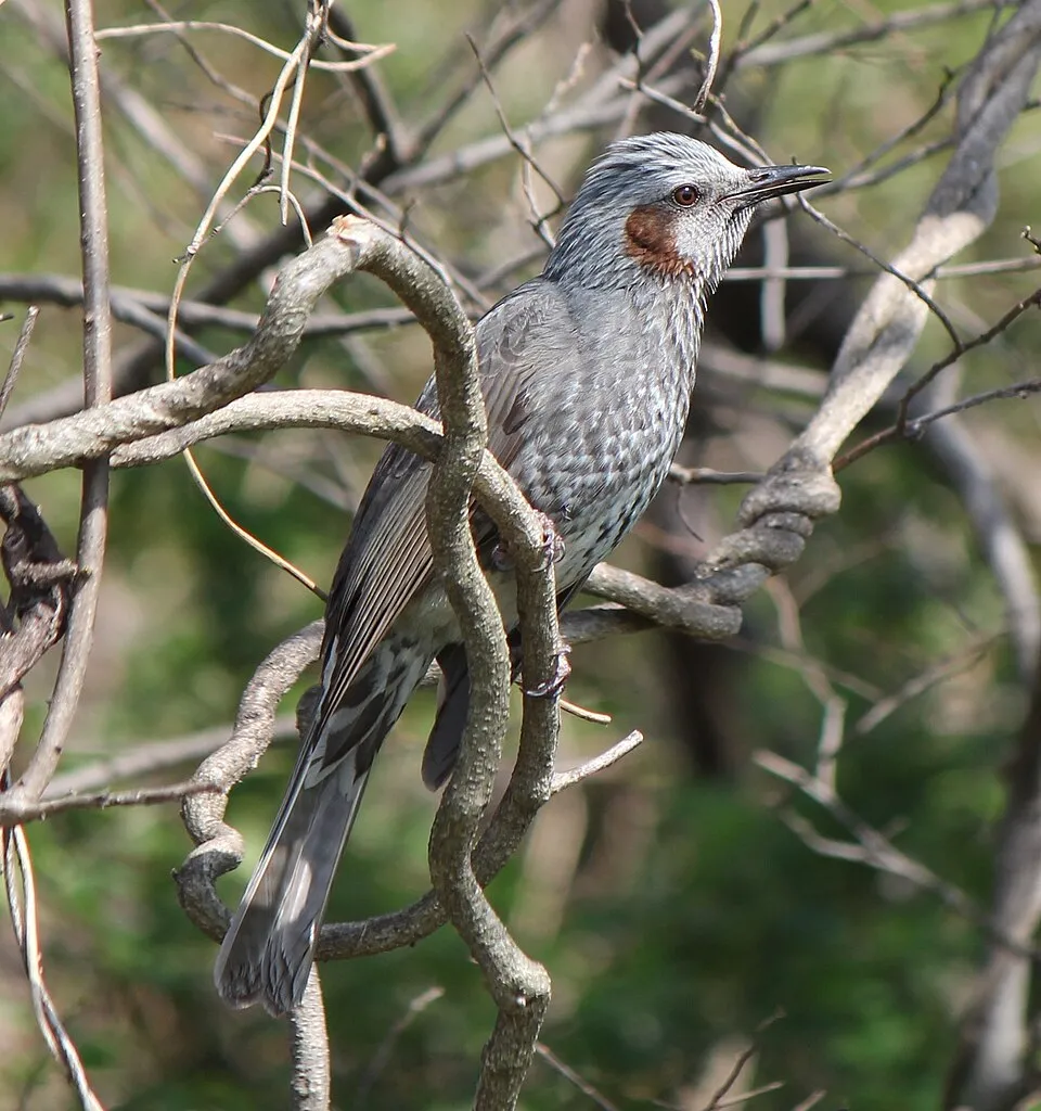
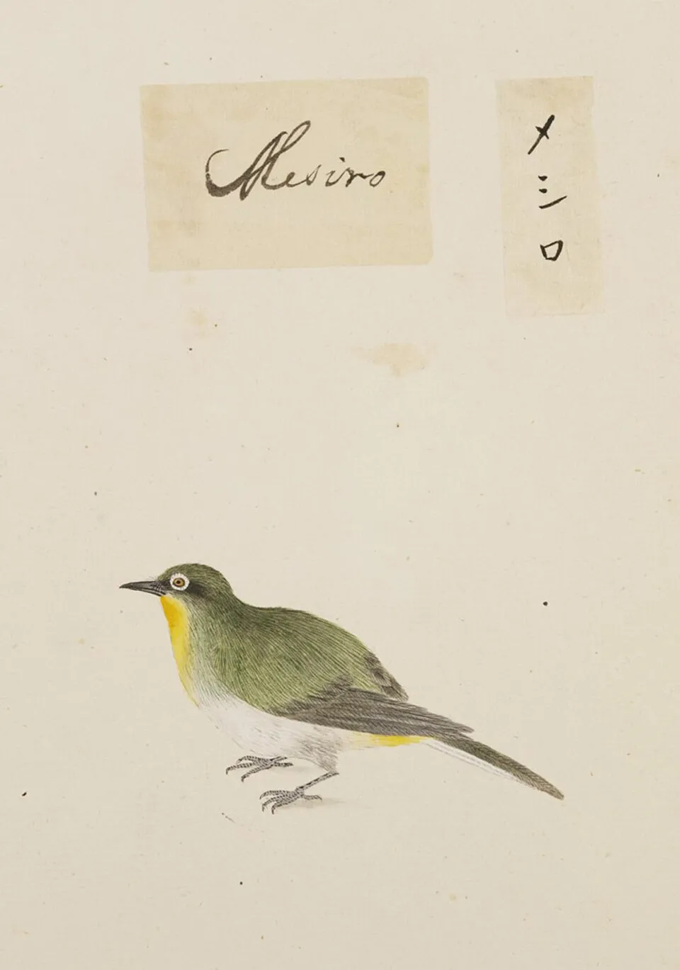
Among the species most often recorded on GBIF are Corvus macrorhynchos (Large-billed Crow), Hypsipetes amaurotis (Brown-eared Bulbul), Zosterops japonicus (Warbling white-eye) and Passer montanus (Eurasian Tree Sparrow).
What is the official website of Kerama Shotō National Park?
© OpenStreetMap
Download the boundary: GeoJSON · GPX Boundary © OpenStreetMap contributors (ODbL).
Geography
Over the 1996–2025 period, the mean annual temperature is about 23.4 °C and total precipitation reaches roughly 1,947 mm per year. The warmest month is usually July, the coolest January, and the wettest May.
Area
- Area
- 3,520 ha
- Coordinates
- 26.1973, 127.3446
Climate
● Mean temperature (°C) · ▮ Precipitation (mm)
Source: Copernicus ERA5 (C3S, doi:10.24381/cds.f17050d7), monthly averages 1996–2025 interpolated to the representative point, temperatures adjusted for elevation.
Contains modified Copernicus Climate Change Service information 2026. Neither the European Commission nor ECMWF is responsible for any use that may be made of the Copernicus information or data it contains.
Natural habitats
According to the global MODIS land cover (NASA, 2024), the land area is mainly made up of marshes and bogs (84%) and forests (15%). The sea covers about 90% of the site. The seabed reaches about 98 m deep (median depth 19 m; GEBCO bathymetry). Reef-building corals are documented in the area: 1,325 records published on GBIF.
Biodiversity
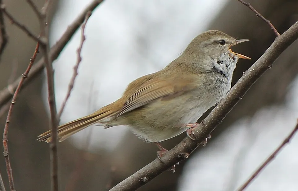
Based on occurrences aggregated by GBIF, several species are regularly recorded within the site. Among the most frequent are Corvus macrorhynchos (Large-billed Crow), Hypsipetes amaurotis (Brown-eared Bulbul), Zosterops japonicus (Warbling white-eye) and Passer montanus (Eurasian Tree Sparrow). The full list of documented taxa is shown below.
Species to look out for

Bird
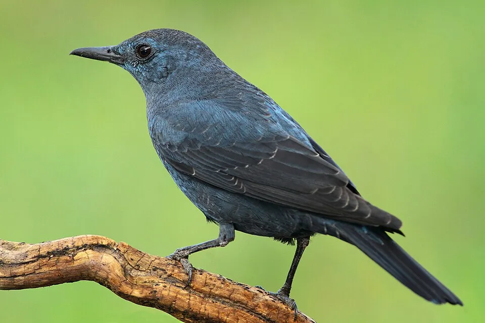
Blue Rock Thrush
Monticola solitarius54 records © jose maria carretero palacios from jerez de los caballeros, españa · CC BY 2.0
Observed species
Occurrences documented via GBIF; they are neither an exhaustive inventory nor proof of current presence.
- Large-billed Crow · Corvus macrorhynchos · 115
- Brown-eared Bulbul · Hypsipetes amaurotis · 88
- Warbling white-eye · Zosterops japonicus · 86
- Eurasian Tree Sparrow · Passer montanus · 63
- Japanese Bush Warbler · Horornis diphone · 61
- Blue Rock Thrush · Monticola solitarius · 54
- Devil's gut · Cassytha filiformis · 52
- Amphisorus kudakajimensis · 48
- Pacific Swallow · Hirundo javanica · 42
- Zitting Cisticola · Cisticola juncidis · 39
- Onychium japonicum · 33
- Little Egret · Egretta garzetta · 30
+18 more species
- Oriental Turtle Dove · Streptopelia orientalis · 30
- Cinnamomum doederleinii · 30
- White Wagtail · Motacilla alba · 29
- Australian Blue Dragon · Pteraeolidia ianthina · 28
- Humpback whale · Megaptera novaeangliae · 28
- Ruddy Kingfisher · Halcyon coromanda · 28
- Christella acuminata · 27
- Pacific Reef Heron · Egretta sacra · 23
- Grey Wagtail · Motacilla cinerea · 22
- Japanese callicarpa · Callicarpa japonica · 22
- Biflorate wedgelet fern · Odontosoria biflora · 21
- Barn Swallow · Hirundo rustica · 21
- Faurie's brake · Pteris fauriei · 20
- Osprey · Pandion haliaetus · 20
- Common Sandpiper · Actitis hypoleucos · 20
- Japanese Climbing Fern · Lygodium japonicum · 20
- Tropical fimbry · Fimbristylis cymosa · 20
- Big unequal-lobe brake fern · Pteris semipinnata · 20
Records: GBIF.org (CC-BY). Names: Wikidata (CC0), GBIF. Photos: Wikimedia Commons.
Conservation challenges
The primary purpose of the site is to preserve its natural habitats and the biodiversity they support. The species recorded (Biodiversity tab) reflect its ecological value. The designations it holds frame its management and the control of land use.
Since 2000, 6 invasive alien species have been recorded within the site (GBIF observations). Among them: Cervus nippon (Sika deer), Pycnonotus sinensis (Light-vented Bulbul) and Columba livia (Rock Dove).
Pressure indicators
Invasive alien species
6
recorded since 2000
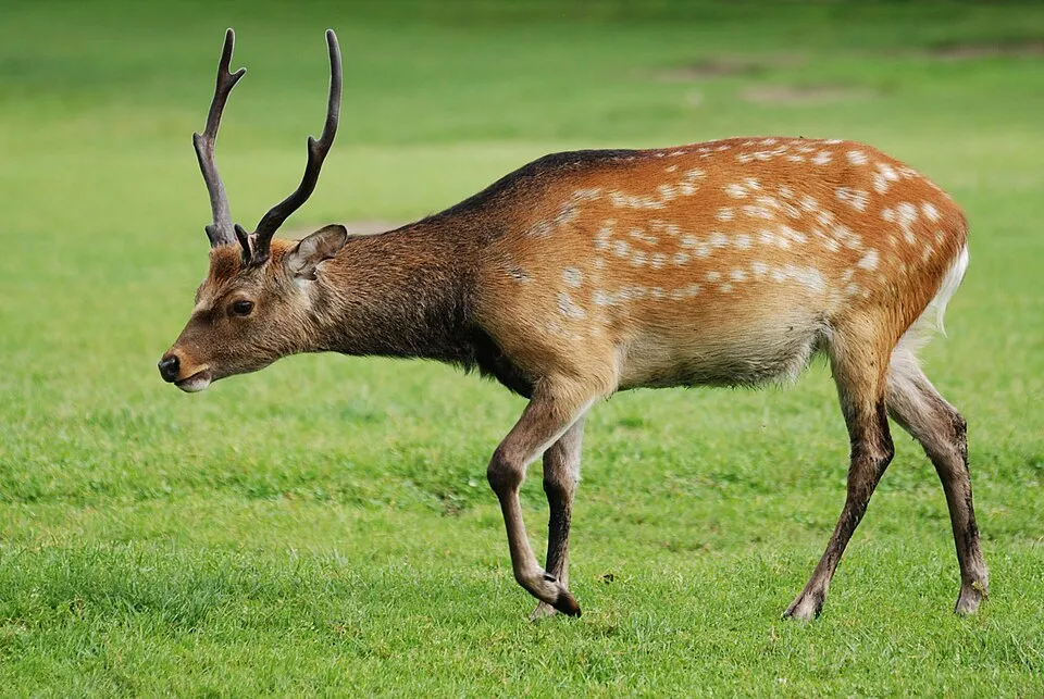 Sika deer
 Light-vented Bulbul
 Rock Dove
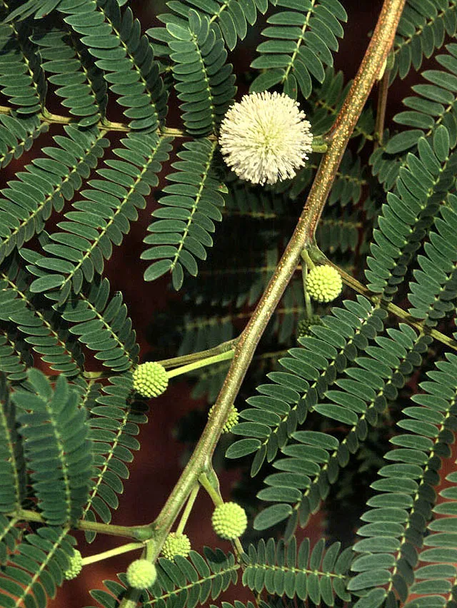 White leadtree
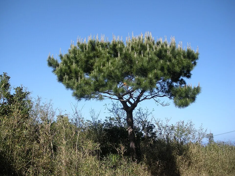 Luchu Pine
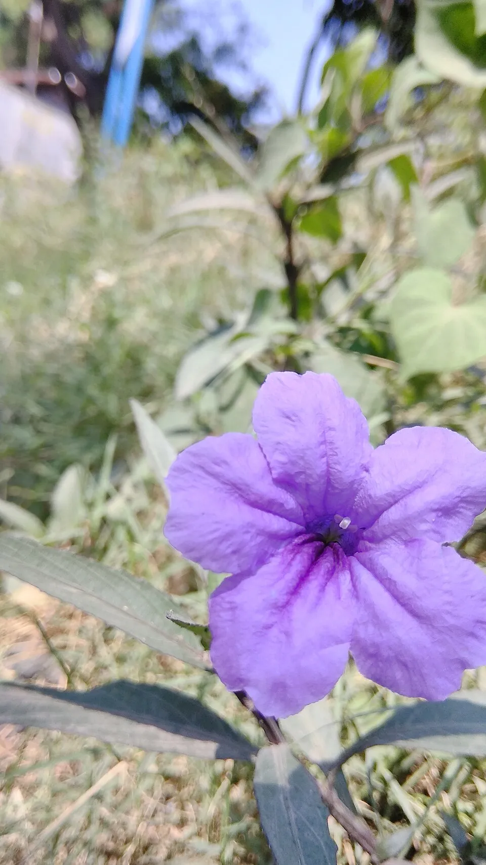 Softseed wild petunia
Photos: Sika deer © Lilly M · CC BY-SA 3.0; Light-vented Bulbul © Earthshine.. · CC BY-SA 3.0; Rock Dove © william_stephens · CC BY 4.0; White leadtree © Ek Balam · Public domain; Luchu Pine © タクナワン · CC0-1.0; Softseed wild petunia © Aris riyanto · CC BY-SA 4.0
Sources: Global Forest Change (Hansen et al., University of Maryland, via Global Forest Watch, CC-BY 4.0); EFFIS, European Commission / Copernicus; NASA Black Marble 2016 (public domain); CORINE Land Cover 2018 (Copernicus) or MODIS.
Invasive alien species: Global Register of Introduced and Invasive Species (ISSG, CC BY 4.0); Union list, Regulation (EU) 1143/2014 (INBO, CC0); GBIF.org records (CC0 / CC BY 4.0), at least 2 per species.
Practical information
Cities and airport
- Naha
21 km as the crow flies - Urasoe
26 km as the crow flies - Airport: Naha (OKA)
18 km as the crow flies
Visitor information
- Keramashoto National Park Visitor Center
within the site
Data © OpenStreetMap contributors (ODbL) · Wikidata (CC0)
Access and visiting
The nearest railway station is Miebashi, about 22 km from the site boundary. Nearest towns of over 50,000 people, as the crow flies: Naha (21 km) and Urasoe (26 km). Nearest airport: Naha (OKA), about 18 km away. About 20,000 people live within 20 km of the site boundary, 50 of them within 10 km (GHSL estimate, 2020). This population has grown by about 16% since 2000. Visitor information on site: Keramashoto National Park Visitor Center. To plan a visit (access, opening periods, visitor rules), it is best to consult the official information from the managing body and the official website listed in this page's sources.
Source: OpenStreetMap (ODbL), Wikidata (CC0), November 2026.
When to visit
Best time to visit: the dry season, from December to February, with less than 120 mm of rain per month. Precipitation peaks in April and May (up to 240 mm per month). Day length ranges from about 10 h 30 min in December to 13 h 46 min in June. Wildlife records published on GBIF peak for birds (April and May), plants (May) and butterflies and moths (April and May). These peaks also reflect when observers are most active.
Source: Copernicus ERA5 (C3S), monthly averages 1996–2025 at the representative point, temperatures adjusted for elevation.
Contains modified Copernicus Climate Change Service information 2026. Neither the European Commission nor ECMWF is responsible for any use that may be made of the Copernicus information or data it contains.
Wildlife records calendar
JFMAMJJASOND
Birds
Plants
Butterflies & moths
Monthly records published on GBIF (CC-BY), relative to the busiest month; also reflects observer activity.
Gallery
© Robdav69 · CC BY-SA 3.0
© Kawamitsu · CC BY-SA 3.0
© Kugel · CC BY-SA 4.0
© USGS Landsat · Public domain
© SteFou! · CC BY 2.0
© 国土交通省 · CC BY 4.0
Sources and licences
- Wikidata: Q15894675
- Official website: https://www.env.go.jp/park/kerama/point/index.html
- Wikipedia: en.wikipedia.org/wiki/Kerama_Shotō_National_Park
- WDPA: 555621337
References
- env.go.jp: official area · CC-BY-4.0
- cds.climate.copernicus.eu: climate · CC-BY-4.0
- registry.opendata.aws: elevation of the reference point · PD
- lpdaac.usgs.gov: land cover · PD
- doi.org: population around the site · CC-BY-4.0
- naturalearthdata.com: sea share · PD
- gbif.org: coral records, seasonality of sightings, invasive alien species, observed species · CC-BY-4.0
- gebco.net: depths · PD
- opentopodata.org: elevations · PD
- wikidata.org: establishment date, protected heritage, official name, nearby cities and airport, access and peaks, places to see, official website · CC0-1.0
- openstreetmap.org: access and peaks · ODbL-1.0
- wikidata.org: Wikipedia article · CC-BY-SA-4.0
Data © OpenStreetMap contributors (ODbL), Wikidata (CC0) and the sources cited.