Poland · Terrestrial
Krajna Landscape Park
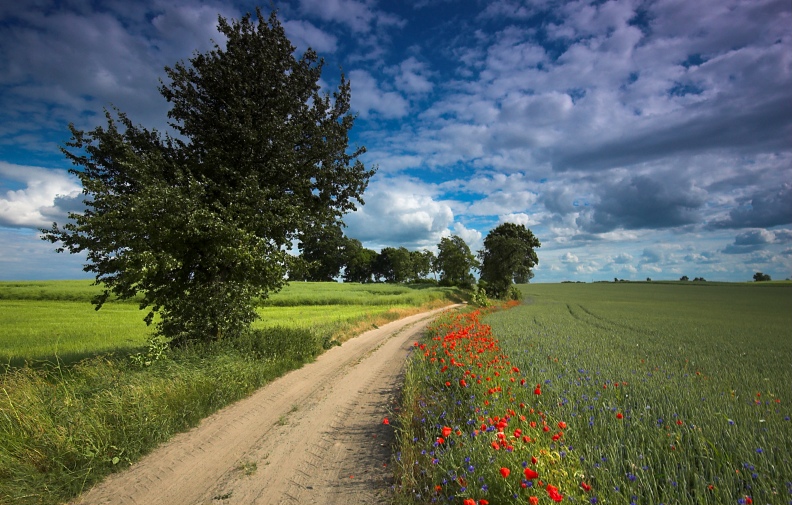
Landscape park of 74,986 hectares in Poland, established in 1998.
Overview
Landscape park of 74,986 hectares in Poland, established in 1998.
Krajna Landscape Park is located in Poland (Europe). It is a predominantly terrestrial area. Established on 17 August 1998, it covers about 74,986 hectares.
Protections and designations
Natura 2000 · habitats (SAC)
- Dolina Łobżonki PLH300040
Protected as a landscape park. International labels and designations: Natura 2000 network (1 site: “Dolina Łobżonki”). Key dates: established in 1998 and first Natura 2000 site under the Habitats Directive in 2011.
In our collections
Timeline
-
1998
Established
-
2011
First Natura 2000 site under the Habitats Directive
Sources: Wikidata (CC0) for establishment and international labels; EEA Natura 2000 database (CC-BY 4.0) for site designation dates.
Frequently asked questions
Where is Krajna Landscape Park?
In Poland (Europe). Representative point: 53.4467° N, 17.4825° E.
How large is Krajna Landscape Park?
About 74,986 hectares (750 km²). It is the 3rd largest of the 121 landscape parks in Poland covered by Parkavela.
When was Krajna Landscape Park established?
On 17 August 1998.
What habitats and landscapes does Krajna Landscape Park include?
A terrestrial area, where land cover is dominated by farmland (62%).
What rocks lie beneath Krajna Landscape Park?
According to the European 1:1 million geological map (EGDI), the bedrock consists mainly of glacial deposits (63% of sampled points) and sands and gravels (38%). These are mostly sedimentary rocks. The geological units date mainly from the Quaternary (100% of sampled points).
What is the highest point of Krajna Landscape Park?
Czarna Góra, at 189 m (OpenStreetMap).
Which international labels apply to Krajna Landscape Park?
Natura 2000 network (1 site: “Dolina Łobżonki”).
When is the best time to visit Krajna Landscape Park?
Mildest period: from June to August, with average temperatures of 16 to 19 °C.
Is there snow in Krajna Landscape Park?
Yes. According to NASA's MODIS satellites (2015–2025 average), snow covers most of the site in January, with about 35 snow-covered days a year on average.
What is there to see in Krajna Landscape Park?
4 viewpoints and 67 lakes and ponds, including Baba, Garzinowo, Jeleń and Jelonek (OpenStreetMap).
Where can I stay in Krajna Landscape Park?
1 mountain hut and 3 campsites, including Ośrodek Hodowli Zwierzyny, Jezioro Juchacz and Pole namiotowe w Lubczy (OpenStreetMap).
Are there historic monuments in Krajna Landscape Park?
Yes. According to Wikidata, 93 monuments listed in the Polish register of monuments stand within the boundary. For example: “Cmentarz ewangelicki w Runowie Krajeńskim” in Runowo Krajeńskie, “Park, Tuchółka” in Tuchółka and “Kuźnia” in Komierowo.
Can you swim in Krajna Landscape Park?
3 monitored bathing sites lie in or within 1 km of the site; official 2025 classification: 3 excellent (European Environment Agency). Swimming is only permitted at the sites and times authorised locally.
What is the nearest large city to Krajna Landscape Park?
Nearest towns of over 50,000 people, as the crow flies: Bydgoszcz (29 km) and Piła (42 km). Nearest airport: Bydgoszcz Ignacy Jan Paderewski (BZG), about 29 km away.
How can I reach Krajna Landscape Park by train?
The nearest railway station is Wierzchowo Człuchowskie, about 2 km from the site boundary.
Are there waymarked hiking trails in Krajna Landscape Park?
Yes. Waymarked hiking routes listed in OpenStreetMap: 13, including Człuchowska Droga św. Jakuba, Szlak Kasztelański, Sępólno Krajeńskie and Szlak Męczeństwa Krajan. The “KP-4023-n · Sypniewo – Drożdżenica” route runs for about 35 km through the site, with some 100 m of ascent on its longest section.
Which species can be seen in Krajna Landscape Park?
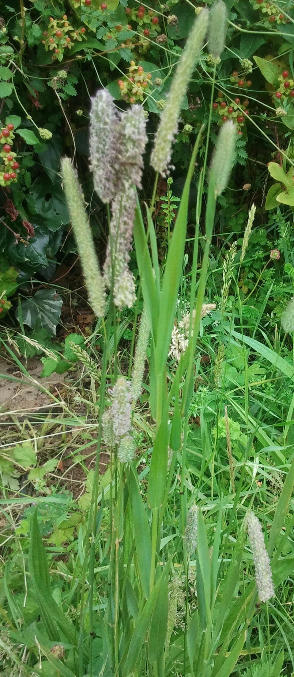
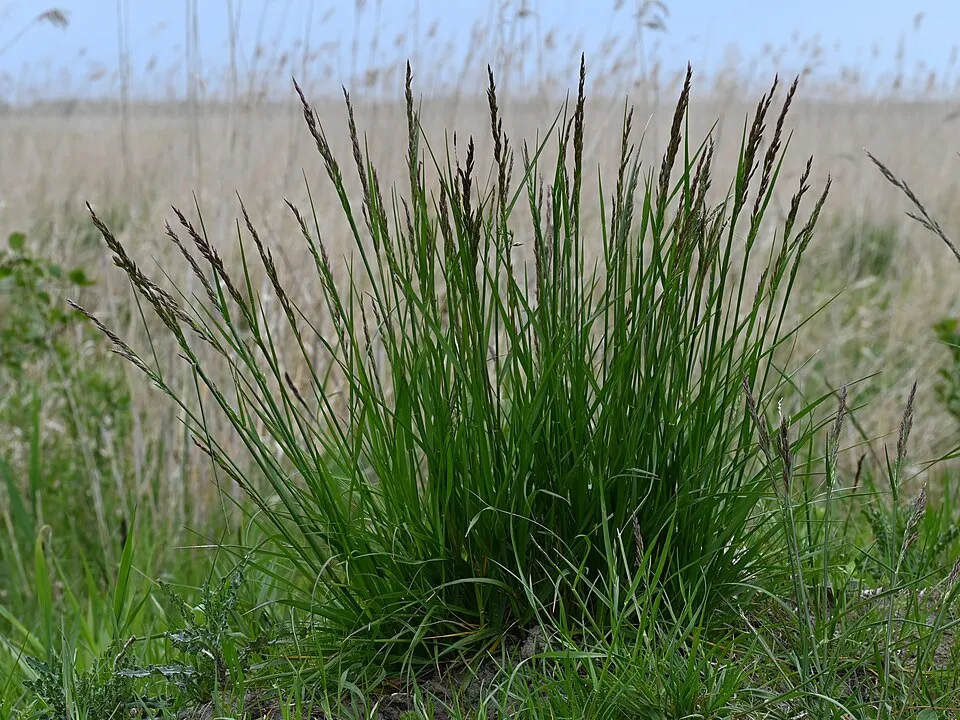
Among the species most often recorded on GBIF are Phleum pratense (Timothy), Linum catharticum (Fairy flax), Grus grus (Common Crane) and Lolium arundinaceum (Tall fescue).
© OpenStreetMap
Download the boundary: GeoJSON · GPX Boundary © OpenStreetMap contributors (ODbL).
Geography
The representative point of the site lies at around 131 m above sea level. Over the 1996–2025 period, the mean annual temperature is about 8.7 °C and total precipitation reaches roughly 675 mm per year. The warmest month is usually July, the coolest January, and the wettest July. According to the European 1:1 million geological map (EGDI), the bedrock consists mainly of glacial deposits (63% of sampled points) and sands and gravels (38%). These are mostly sedimentary rocks. The geological units date mainly from the Quaternary (100% of sampled points). The site contains 37 lakes larger than 10 ha as well as part of another lake (Jezioro Stryjewo), totalling 13.7 km² of water; the largest, Jezioro Więcborskie, covers 1.5 km² (HydroLAKES).
Area
- Area
- 74,986 ha
- Elevation
- 131 m
- Snow cover
- ≈ 35 days a year
- Lakes over 10 ha
- 37 (13.7 km²)
- Coordinates
- 53.4467, 17.4825
Lakes: HydroLAKES (Messager et al. 2016, hydrosheds.org, CC BY 4.0) · depths: Wikidata (CC0)
Bedrock
- Glacial deposits 63 %
- Sands and gravels 38 %
Sedimentary rocks 100 % · Main age: Quaternary (100%)
Source: EGDI 1:1M geological map (EuroGeoSurveys and national geological surveys), CC BY 4.0 · 16 sampled points within the site.
Climate
● Mean temperature (°C) · ▮ Precipitation (mm)
Source: Copernicus ERA5-Land (C3S, doi:10.24381/cds.68d2bb30), monthly averages 1996–2025 interpolated to the representative point, temperatures adjusted for elevation.
Contains modified Copernicus Climate Change Service information 2026. Neither the European Commission nor ECMWF is responsible for any use that may be made of the Copernicus information or data it contains.
Snow cover measured by satellite
J
F
M
A
M
J
J
A
S
O
N
D
average share of the site under snow · snowiest parts · ≈ 35 days a year
Snow cover: MODIS/Terra MOD10CM v61 (Hall & Riggs, 2021, NASA NSIDC DAAC, doi:10.5067/MODIS/MOD10CM.061), imagery from NASA GIBS (ESDIS); 2015–2025 average, grid of about 5 km.
Natural habitats
According to CORINE Land Cover (2018), the site is mainly made up of farmland (62%), forests (24%) and grassland and meadows (6%). Woodland mixes broadleaved and coniferous trees. Elevation ranges from about 100 m to 189 m (highest point: Czarna Góra). The land is almost flat (mean slope under 2°). The Natura 2000 site overlapping the area lists 20 habitats of European interest (5 priority), the most extensive being lowland hay meadows (Alopecurus pratensis, Sanguisorba officinalis), Galio-Carpinetum oak-hornbeam forests and Asperulo-Fagetum beech forests.
Biodiversity
Based on occurrences aggregated by GBIF, several species are regularly recorded within the site. Among the most frequent are Phleum pratense (Timothy), Linum catharticum (Fairy flax), Grus grus (Common Crane) and Lolium arundinaceum (Tall fescue). The full list of documented taxa is shown below. The overlapping Natura 2000 site lists 12 species of European interest: 2 mammals, 2 amphibians, 1 fish, 5 invertebrates and 2 plants.
Habitats of European interest
From the official form of the Natura 2000 site overlapping the area (areas reported for the whole site).
- Lowland hay meadows (Alopecurus pratensis, Sanguisorba officinalis) 884 ha
- Galio-Carpinetum oak-hornbeam forests 589 ha
- Asperulo-Fagetum beech forests 354 ha
- Alluvial forests with Alnus glutinosa and Fraxinus excelsior (Alno-Padion, Alnion incanae, Salicion albae) priority 354 ha
- Hard oligo-mesotrophic waters with benthic vegetation of Chara spp. 118 ha
- Natural eutrophic lakes with Magnopotamion or Hydrocharition-type vegetation 118 ha
- Water courses of plain to montane levels with the Ranunculion fluitantis and Callitricho-Batrachion vegetation 59 ha
- Luzulo-Fagetum beech forests 59 ha
and 12 more
Species of European interest
Amphibians · 2
European fire-bellied toad (Bombina bombina), Great crested newt (Triturus cristatus)
Invertebrates · 5
Stag beetle (Lucanus cervus), Large copper (Lycaena dispar), Green snaketail (Ophiogomphus cecilia), Hermit beetle (Osmoderma eremita), Thick shelled river mussel (Unio crassus)
Source: Natura 2000 standard data forms (EEA, CC-BY 4.0). Not exhaustive: sensitive species are not published.
Species to look out for



Observed species
Occurrences documented via GBIF; they are neither an exhaustive inventory nor proof of current presence.
- Timothy · Phleum pratense · 70
- Dentoglobigerina altispira · 24
- Fairy flax · Linum catharticum · 21
- Common Crane · Grus grus · 19
- Tall fescue · Lolium arundinaceum · 12
- Greater Celandine · Chelidonium majus · 11
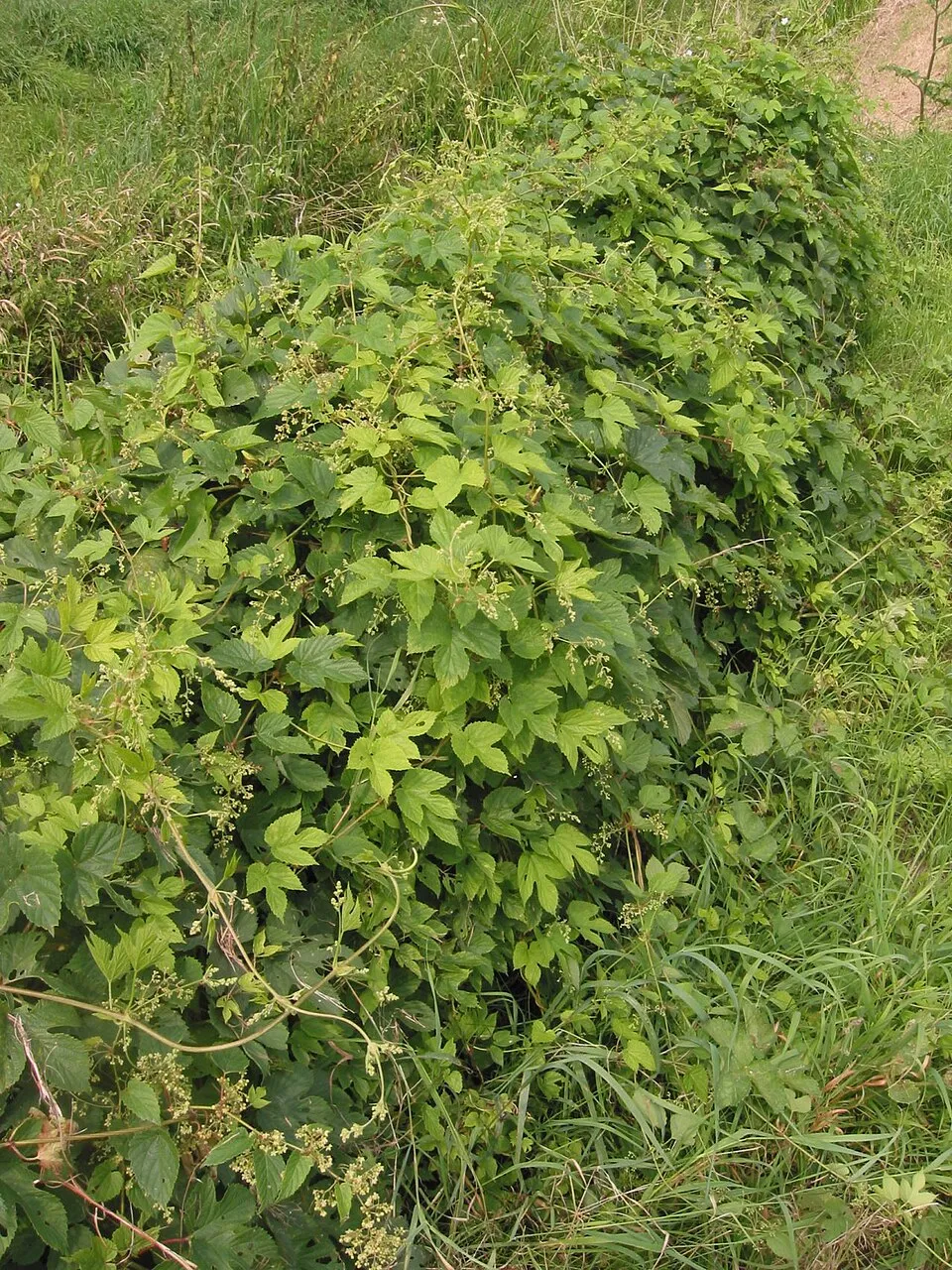
- Hop · Humulus lupulus · 10
- Globigerina kozlowskii · 10
- Garlic Mustard · Alliaria petiolata · 9
- Common Wood Pigeon · Columba palumbus · 8
- European Beech · Fagus sylvatica · 8
- Ground-ivy · Glechoma hederacea · 8
+18 more species
- Greater Plantain · Plantago major · 8
- Barn Swallow · Hirundo rustica · 8
- Eurasian blue tit · Cyanistes caeruleus · 7
- Great Spotted Woodpecker · Dendrocopos major · 6
- Northern Raven · Corvus corax · 6
- Bishop's goutweed · Aegopodium podagraria · 6
- Great tit · Parus major · 6
- Mallard · Anas platyrhynchos · 6
- Common Blackbird · Turdus merula · 5
- Yellowhammer · Emberiza citrinella · 5
- Eurasian Blackcap · Sylvia atricapilla · 5
- Bird Cherry · Prunus padus · 5
- Soapwort · Saponaria officinalis · 5
- Three-veined sandwort · Moehringia trinervia · 5
- Eurasian Jay · Garrulus glandarius · 5
- European Greenfinch · Chloris chloris · 5
- Black-headed Gull · Chroicocephalus ridibundus · 5
- Western Jackdaw · Coloeus monedula · 5
Records: GBIF.org (CC-BY). Names: Wikidata (CC0), GBIF. Photos: Wikimedia Commons.
Conservation challenges
The primary purpose of the site is to preserve its natural habitats and the biodiversity they support. The species recorded (Biodiversity tab) reflect its ecological value. The designations it holds frame its management and the control of land use.
According to Global Forest Change data (University of Maryland, Global Forest Watch), about 4,020 ha of tree cover were lost within the boundary between 2001 and 2023 (5% of its area), peaking in 2017 and 2018. These losses include logging, storms and fires, and do not account for regrowth. Apart from forest felling and regrowth (about 3,340 ha in total), land cover remained almost unchanged between 1990 and 2018 according to CORINE Land Cover; only some 14 ha were built over. At night, 2% of the area gives off artificial light detectable from space (NASA VIIRS Black Marble composite, 2016). Built-up and developed land (buildings, business areas, roads, quarries) covers 1% of the area, and farmland 62% (CORINE Land Cover). According to the Natura 2000 forms, of 18 assessed habitats of European interest, 5 are in excellent condition and 2 in average or reduced condition. According to the Water Framework Directive assessment (2022 river basin management plans, data 2014–2019), none of the 185 km of rivers assessed within the site reaches good ecological status; they mostly have moderate ecological status. Other assessed water bodies: lakes, 0 of 6 in good ecological status or better. Invasive alien species have been recorded within the site since 2000 (GBIF observations), one of them listed as of Union concern. Among them: Impatiens glandulifera (Himalayan Balsam), Rosa rugosa (Japanese rose) and Impatiens parviflora (Small balsam).
Pressure indicators
Tree cover lost
4,023 ha
2001–2023 · 5% of the area
20012023
Fires since 2016
0
No large fire mapped (fires over about 30 ha)
Light at night
2%
of the area gives off artificial light visible from space
DarkLit
Built-up land
1%
buildings, business areas, roads, quarries · farmland 62%
Land cover change
< 0.5%
of the area changed, 1990–2018 · CORINE
forest felling and regrowth: 3,340 ha in total
Rivers and lakes
0%
of the 185 km of assessed rivers in good or high ecological status · WFD 2022
Lakes: 0 of 6 good or better
assessments 2014–2019
Invasive alien species
3
incl. 1 of EU concern · since 2000
 Himalayan Balsam
 Japanese rose
 Small balsam
Photos: Himalayan Balsam © Guptaele · CC BY-SA 4.0; Japanese rose © Vihljun · Public domain; Small balsam © André Karwath aka Aka · CC BY-SA 2.5
Sources: Global Forest Change (Hansen et al., University of Maryland, via Global Forest Watch, CC-BY 4.0); EFFIS, European Commission / Copernicus; NASA Black Marble 2016 (public domain); CORINE Land Cover 2018 (Copernicus) or MODIS.
CORINE Land Cover Change 1990–2018: generated using European Union's Copernicus Land Monitoring Service information (EEA), aggregated by Parkavela; DOI 10.2909/f30f1000-7cf8-43bb-872c-5eb093911b24.
Ecological status of water bodies: European Environment Agency, WISE – Water Framework Directive, 3rd river basin management plans (2022), CC BY 4.0. Official national classification, not comparable between countries.
Invasive alien species: Global Register of Introduced and Invasive Species (ISSG, CC BY 4.0); Union list, Regulation (EU) 1143/2014 (INBO, CC0); GBIF.org records (CC0 / CC BY 4.0), at least 2 per species.
Practical information
Cities and airport
- Bydgoszcz
29 km as the crow flies - Piła
42 km as the crow flies - Airport: Bydgoszcz Ignacy Jan Paderewski (BZG)
29 km as the crow flies
Things to see
4 viewpoints · 67 lakes and ponds
- Baba
lake or pond - Garzinowo
lake or pond - Jeleń
lake or pond - Jelonek
lake or pond - Jezioro Czarmuńskie
lake or pond
Where to stay
1 mountain hut · 3 campsites
- Ośrodek Hodowli Zwierzyny
Unstaffed hut - Jezioro Juchacz
campsite - Pole namiotowe w Lubczy
campsite
Hiking
13 waymarked routes listed, including:
Człuchowska Droga św. JakubaSzlak KasztelańskiSępólno KrajeńskieSzlak Męczeństwa KrajanSzlak Rezerwatów KrajeńskichSypniewo
By bike
R1 Euroroute R1 · 5 kmGRW Greenway Necklace of the North · 33 km
Signed cycle routes: this does not mean that cycling is allowed on footpaths.
Data © OpenStreetMap contributors (ODbL) · Wikidata (CC0)
Routes © OpenStreetMap contributors (ODbL), via Waymarked Trails
Waymarked hiking routes
KP-205-y/PM-205-y Szlak Kasztelański
18.9 km within the site ↗ 97 m↘ 103 m 110–151 m
KP-4017-n Sępólno Krajeńskie – Pruszcz
13.9 km within the site ↗ 29 m↘ 36 m 120–146 m
KP-4018-c Sępólno Krajeńskie – Kamień Krajeński
19.7 km within the site ↗ 82 m↘ 90 m 113–157 m
KP-4019-z Szlak Męczeństwa Krajan
21.2 km within the site ↗ 72 m↘ 62 m 108–152 m
KP-4023-n Sypniewo – Drożdżenica
35.1 km within the site ↗ 101 m↘ 112 m 111–144 m
Tracks © OpenStreetMap contributors (ODbL), clipped to the boundary; elevation gain and profiles computed on the longest section from Mapzen Terrain Tiles (≈ 30 m), indicative only.
Bathing
3 monitored bathing sites in or within 1 km of the site · 2025 classification
Excellent · 3
- Jezioro Sępoleńskie · lake · Excellent
- Kąpielisko nad Jeziorem Mochel · lake · Excellent
- Plaża Miejska w Więcborku · lake · Excellent
Source: European Environment Agency, official bathing water classification (Directive 2006/7/EC, CC-BY 4.0). Swimming is only permitted at the sites and times authorised locally.
Access and visiting
The nearest railway station is Wierzchowo Człuchowskie, about 2 km from the site boundary. Nearest towns of over 50,000 people, as the crow flies: Bydgoszcz (29 km) and Piła (42 km). Nearest airport: Bydgoszcz Ignacy Jan Paderewski (BZG), about 29 km away. About 310,000 people live within 20 km of the site boundary, 150,000 of them within 10 km; some 29,000 people are estimated to live inside (GHSL estimate, 2020). This population has grown by about 6% since 2000. Waymarked hiking routes listed in OpenStreetMap: 13, including Człuchowska Droga św. Jakuba, Szlak Kasztelański, Sępólno Krajeńskie and Szlak Męczeństwa Krajan. The site is crossed by 2 signed cycle routes: “R1 Euroroute R1” and “GRW Greenway Necklace of the North” (OpenStreetMap). To see: 4 viewpoints and 67 lakes and ponds, including Baba, Garzinowo, Jeleń and Jelonek. Where to stay: 1 mountain hut and 3 campsites, including Ośrodek Hodowli Zwierzyny, Jezioro Juchacz and Pole namiotowe w Lubczy. To plan a visit (access, opening periods, visitor rules), it is best to consult the official information from the managing body and the official website listed in this page's sources.
Source: OpenStreetMap (ODbL), Wikidata (CC0), October 2026.
Built heritage
According to Wikidata, 93 monuments listed in the Polish register of monuments stand within the boundary. Among them are 28 houses and civic buildings, 27 religious buildings and 1 bridge, lighthouse, mill or working building. Examples include “Cmentarz ewangelicki w Runowie Krajeńskim” in Runowo Krajeńskie, “Park, Tuchółka” in Tuchółka and “Kuźnia” in Komierowo.
28 houses and civic buildings27 religious buildings1 bridge, lighthouse, mill or working building
-
Cmentarz ewangelicki w Runowie Krajeńskim
Runowo Krajeńskie · 19th c. -
Park, Tuchółka
Tuchółka -
Kuźnia
Komierowo · 20th c. -
Palace in Iłowo
Iłowo · 19th c. -
Cmentarz przy kościele w Jeleńczu
Jeleńcz · 19th c. -
Komierowo Manor
Komierowo · 20th c. -
Manor in Rajgród
Rajgród · 19th c. -
Cmentarz przykościelny przy kościele św. Macieja w Orlu
Orle
and 85 more
Source: Wikidata (CC0), monuments in each country’s official heritage protection registers, at national or regional level. Each item links to its Wikidata entry.
When to visit
Mildest period: from June to August, with average temperatures of 16 to 19 °C. Average temperatures drop below 0 °C in January and February: frost is common. Precipitation peaks in July (up to 100 mm per month). According to NASA's MODIS satellites (2015–2025 average), snow covers most of the site in January, with about 35 snow-covered days a year on average. Day length ranges from about 7 h 30 min in December to 16 h 59 min in June. Wildlife records published on GBIF peak for birds (April and May) and plants (July). These peaks also reflect when observers are most active.
Source: Copernicus ERA5-Land (C3S), monthly averages 1996–2025 at the representative point, temperatures adjusted for elevation.
Contains modified Copernicus Climate Change Service information 2026. Neither the European Commission nor ECMWF is responsible for any use that may be made of the Copernicus information or data it contains.
Wildlife records calendar
JFMAMJJASOND
Birds
Plants
Monthly records published on GBIF (CC-BY), relative to the busiest month; also reflects observer activity.
Gallery
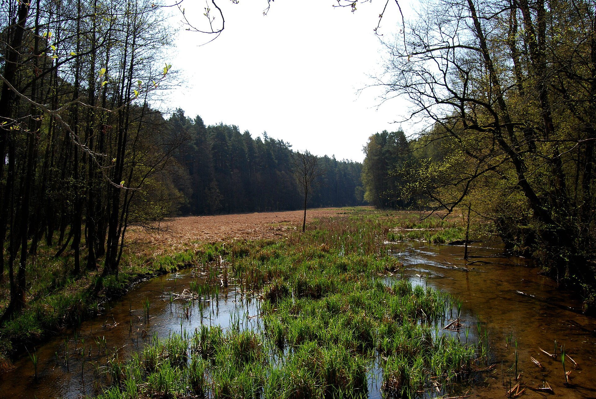
© Nakiel · CC BY-SA 4.0
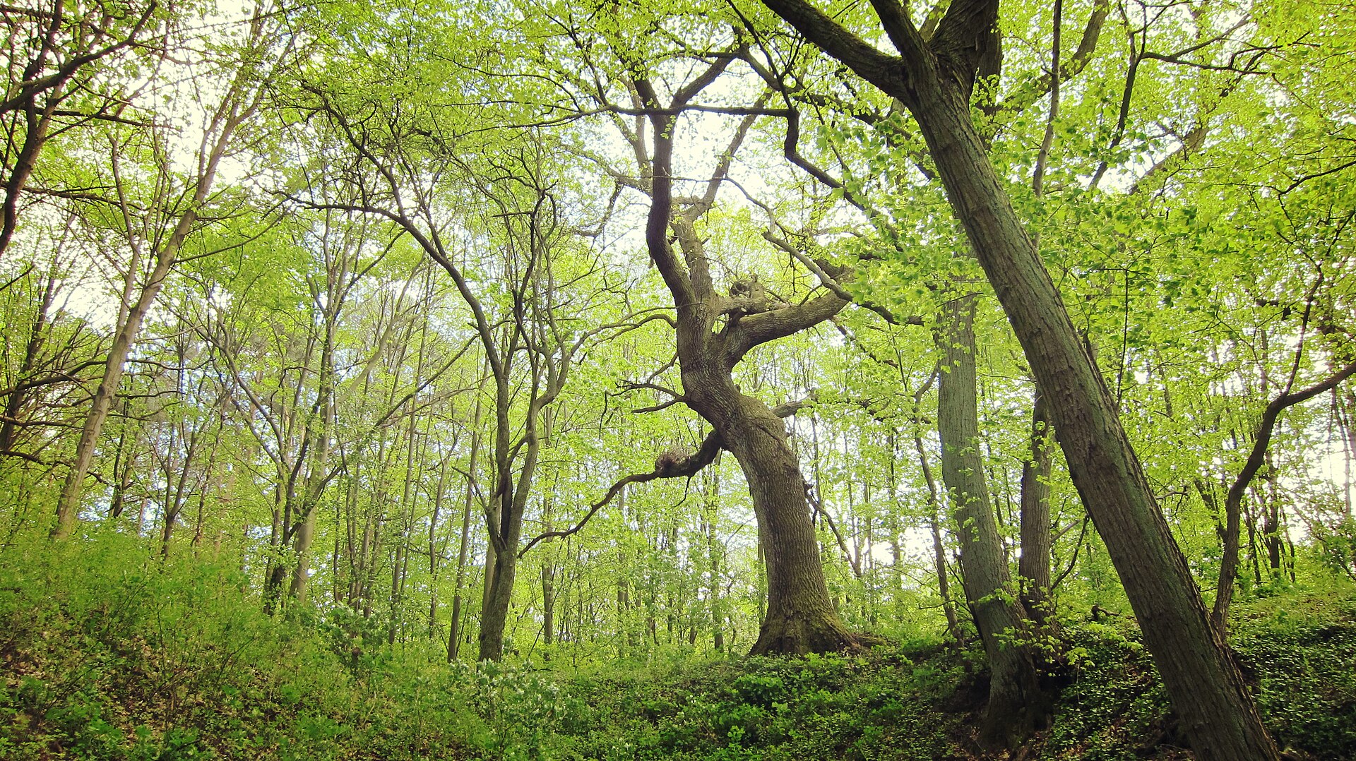
© Krzysztof Golik · CC BY-SA 4.0
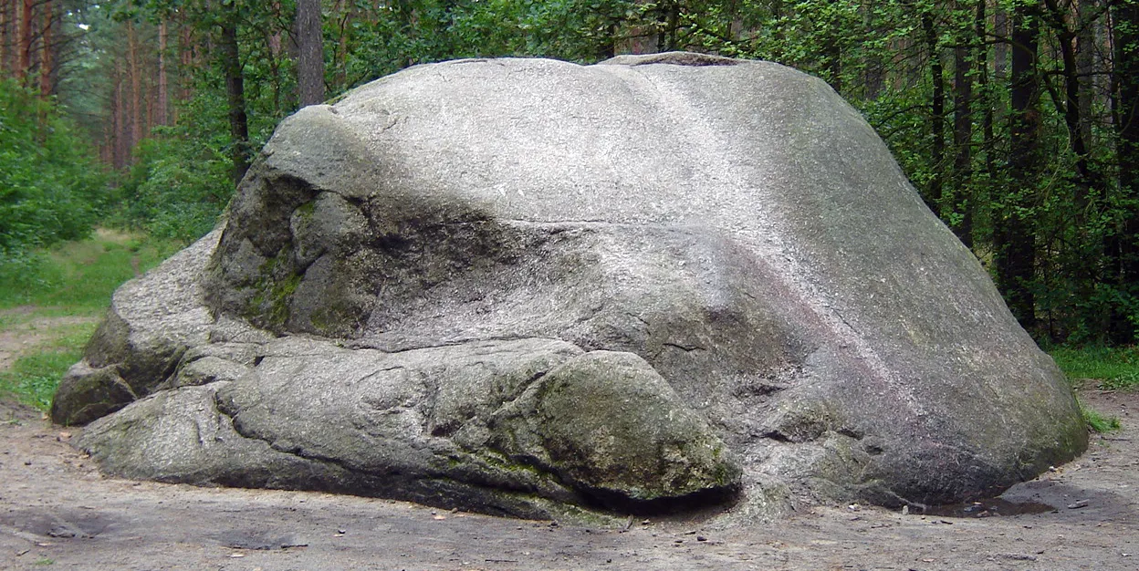
© MOs810 · CC BY-SA 4.0
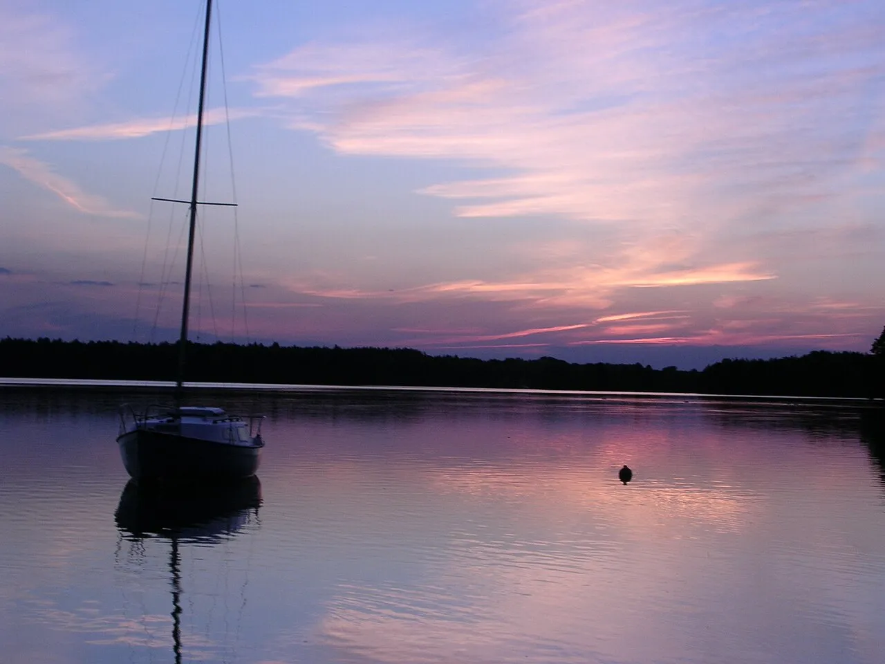
© TigerTatoo · CC BY-SA 3.0
© Krzysztof Golik · CC BY-SA 4.0
© Pit1233 · CC0-1.0
Sources and licences
- Wikidata: Q6435894
- OpenStreetMap: relation 4512521
- Wikipedia: en.wikipedia.org/wiki/Krajna_Landscape_Park
- WDPA: 177252
References
- cds.climate.copernicus.eu: climate · CC-BY-4.0
- registry.opendata.aws: elevation of the reference point, detailed relief · PD
- land.copernicus.eu: land cover, land cover change, sea share · COPERNICUS
- doi.org: population around the site · CC-BY-4.0
- wikidata.org: official area, establishment date, protected heritage, nearby cities and airport, access and peaks, lake depths, places to see · CC0-1.0
- eea.europa.eu: bathing water quality, ecological status of waters · CC-BY-4.0
- en.eurovelo.com: EuroVelo cycle routes · ODbL-1.0
- cycling.waymarkedtrails.org: cycle routes · ODbL-1.0
- opentopodata.org: elevations · PD
- forest-fire.emergency.copernicus.eu: wildfires · COPERNICUS
- globalforestwatch.org: tree cover loss · CC-BY-4.0
- gbif.org: seasonality of sightings, invasive alien species, observed species · CC-BY-4.0
- europe-geology.eu: geology · CC-BY-4.0
- hydrosheds.org: lakes · CC-BY-4.0
- natura2000.eea.europa.eu: Natura 2000 habitats and species · CC-BY-4.0
- openstreetmap.org: official name, access and peaks, places to see, trail difficulty · ODbL-1.0
- earthobservatory.nasa.gov: night light · PD
- hiking.waymarkedtrails.org: route difficulty · ODbL-1.0
- nsidc.org: snow cover · PD
- wikidata.org: Wikipedia article · CC-BY-SA-4.0
Data © OpenStreetMap contributors (ODbL), Wikidata (CC0) and the sources cited.