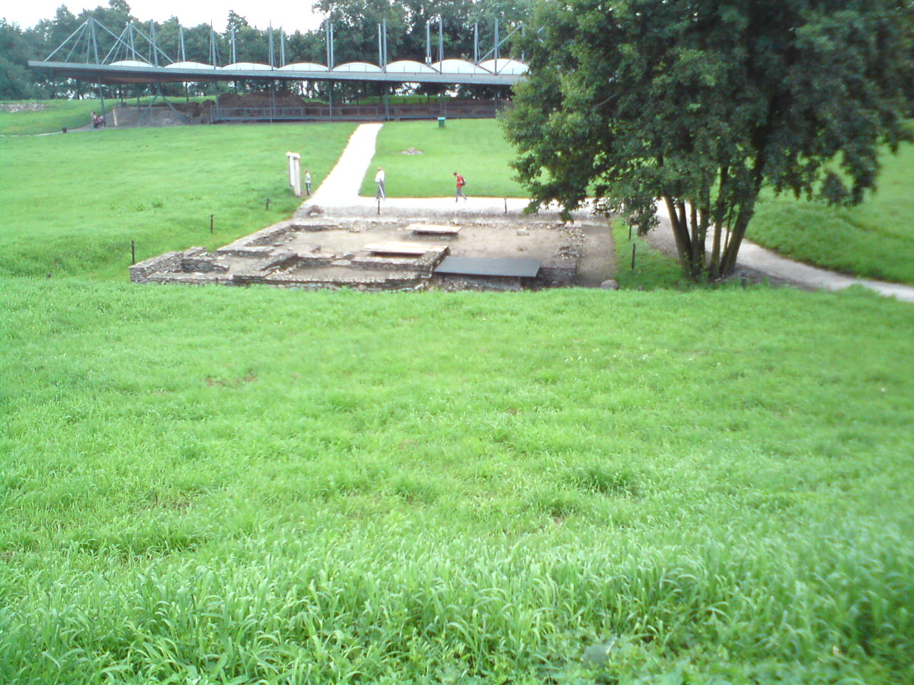
Poland · Terrestrial
Lednica Landscape Park
Landscape park of 7,618 hectares in Poland, established in 1988.
Overview
Landscape park of 7,618 hectares in Poland, established in 1988.
Lednica Landscape Park is located in Poland (Europe). It is a predominantly terrestrial area. Established on 26 May 1988, it covers about 7,618 hectares.
In our collections
Frequently asked questions
Where is Lednica Landscape Park?
In Poland (Europe). Representative point: 52.5167° N, 17.3667° E.
How large is Lednica Landscape Park?
About 7,618 hectares (76 km²). It is the 97th largest of the 121 landscape parks in Poland covered by Parkavela.
When was Lednica Landscape Park established?
On 26 May 1988.
What habitats and landscapes does Lednica Landscape Park include?
A terrestrial area, where land cover is dominated by farmland (82%).
What rocks lie beneath Lednica Landscape Park?
According to the European 1:1 million geological map (EGDI), the bedrock consists mainly of glacial deposits (77% of sampled points) and sands and gravels (23%). These are mostly sedimentary rocks. The geological units date mainly from the Quaternary (100% of sampled points).
When is the best time to visit Lednica Landscape Park?
Best time to visit: May and June, with average temperatures of 13 to 18 °C and moderate rainfall.
Is there snow in Lednica Landscape Park?
Yes. According to NASA's MODIS satellites (2015–2025 average), snow covers the site about 30 days a year, mostly in December and January.
What is there to see in Lednica Landscape Park?
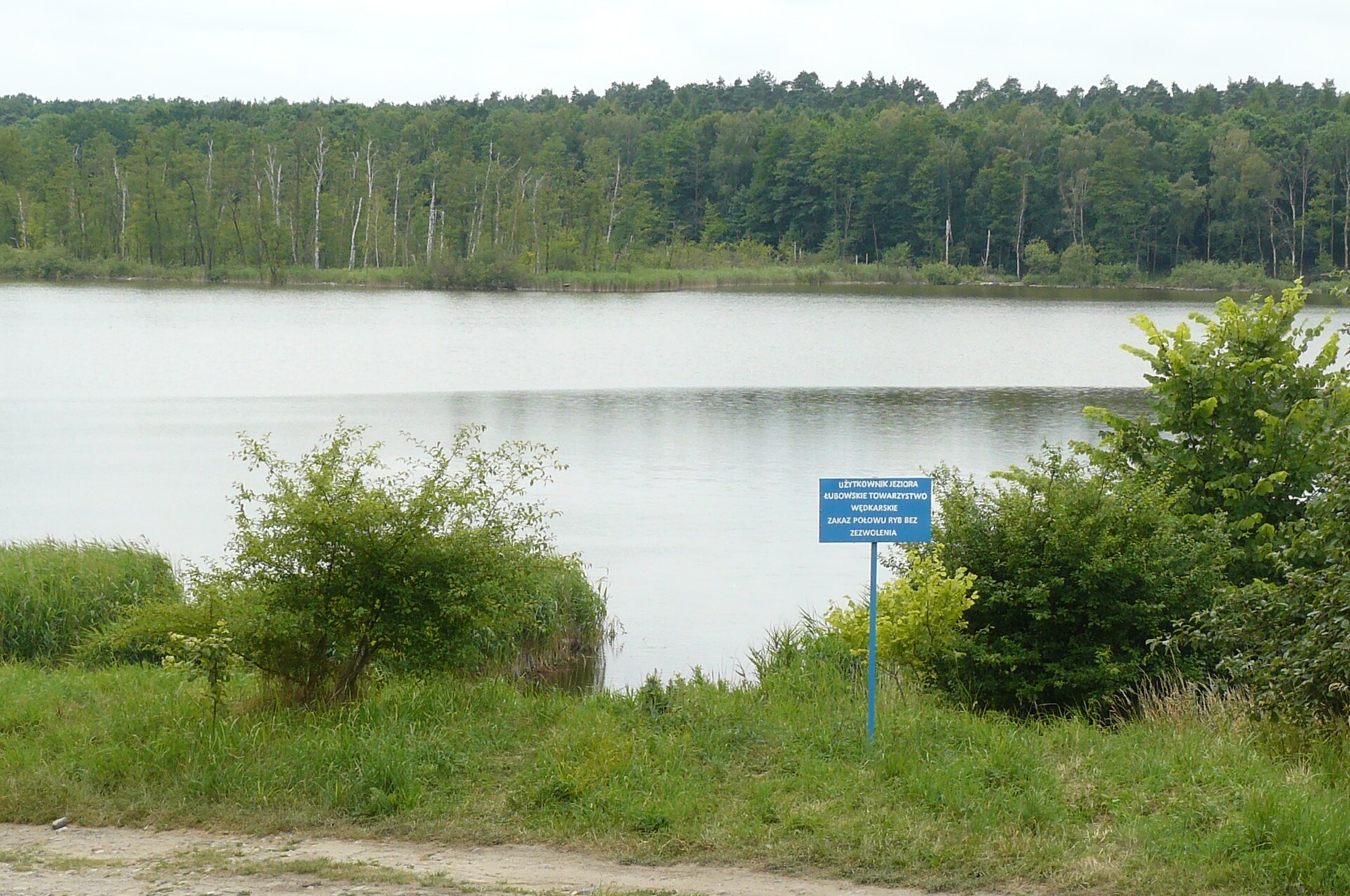
3 viewpoints and 7 lakes and ponds, including Jezioro Bakorce (109 m), Jezioro Linie (109 m), Jezioro Kamionek and Jezioro Lednica (OpenStreetMap).
Where can I stay in Lednica Landscape Park?
4 campsites, including Biwak Lednica, MatMar and Stanica „Orle Gniazdo” (OpenStreetMap).
Are there historic monuments in Lednica Landscape Park?
Yes. According to Wikidata, 36 monuments listed in the Polish register of monuments stand within the boundary, 1 of them a national historic monument (Pomnik historii). For example: “Ostrów Lednicki”.
What is the nearest large city to Lednica Landscape Park?
Nearest towns of over 50,000 people, as the crow flies: Gniezno (11 km) and Poznań (28 km). Nearest airport: Poznań-Ławica (POZ), about 35 km away.
How can I reach Lednica Landscape Park by train?
The nearest railway station is Pierzyska, about 4 km from the site boundary.
Are there waymarked hiking trails in Lednica Landscape Park?
Yes. Waymarked hiking routes listed in OpenStreetMap: 3, including E 11 (1 237 km) and Mielno. The “WK/KP-208 · Mielno - Kruszwica” route runs for about 22 km through the site.
Which species can be seen in Lednica Landscape Park?
Among the species most often recorded on GBIF are Macrocheles merdarius, Macrocheles robustulus, Parasitus mustelarum and Macrocheles glaber.
What is the official website of Lednica Landscape Park?
© OpenStreetMap
Download the boundary: GeoJSON · GPX Boundary © OpenStreetMap contributors (ODbL).
Geography
The representative point of the site lies at around 109 m above sea level. Over the 1996–2025 period, the mean annual temperature is about 9.4 °C and total precipitation reaches roughly 650 mm per year. The warmest month is usually July, the coolest January, and the wettest July. According to the European 1:1 million geological map (EGDI), the bedrock consists mainly of glacial deposits (77% of sampled points) and sands and gravels (23%). These are mostly sedimentary rocks. The geological units date mainly from the Quaternary (100% of sampled points). The site contains 2 lakes larger than 10 ha, totalling 3.0 km² of water (HydroLAKES). Lednica is 15 m deep (Wikidata).
Area
- Area
- 7,618 ha
- Elevation
- 109 m
- Snow cover
- ≈ 30 days a year
- Lakes over 10 ha
- 2 (3.0 km²)
- Coordinates
- 52.5167, 17.3667
Lakes: HydroLAKES (Messager et al. 2016, hydrosheds.org, CC BY 4.0) · depths: Wikidata (CC0)
Bedrock
- Glacial deposits 77 %
- Sands and gravels 23 %
Sedimentary rocks 100 % · Main age: Quaternary (100%)
Source: EGDI 1:1M geological map (EuroGeoSurveys and national geological surveys), CC BY 4.0 · 13 sampled points within the site.
Climate
● Mean temperature (°C) · ▮ Precipitation (mm)
Source: Copernicus ERA5-Land (C3S, doi:10.24381/cds.68d2bb30), monthly averages 1996–2025 interpolated to the representative point, temperatures adjusted for elevation.
Contains modified Copernicus Climate Change Service information 2026. Neither the European Commission nor ECMWF is responsible for any use that may be made of the Copernicus information or data it contains.
Snow cover measured by satellite
J
F
M
A
M
J
J
A
S
O
N
D
average share of the site under snow · snowiest parts · ≈ 30 days a year
Snow cover: MODIS/Terra MOD10CM v61 (Hall & Riggs, 2021, NASA NSIDC DAAC, doi:10.5067/MODIS/MOD10CM.061), imagery from NASA GIBS (ESDIS); 2015–2025 average, grid of about 5 km.
Natural habitats
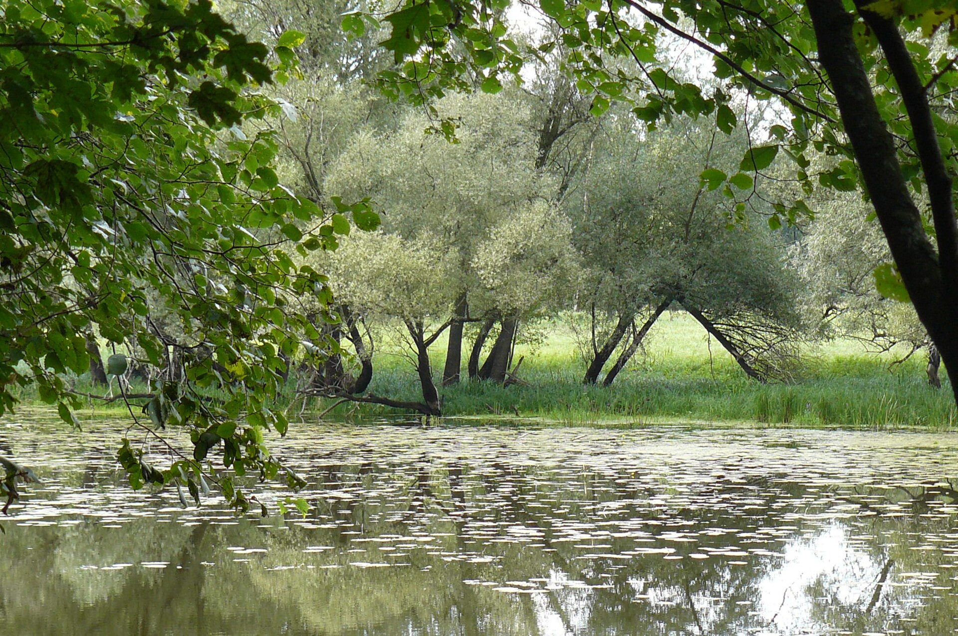
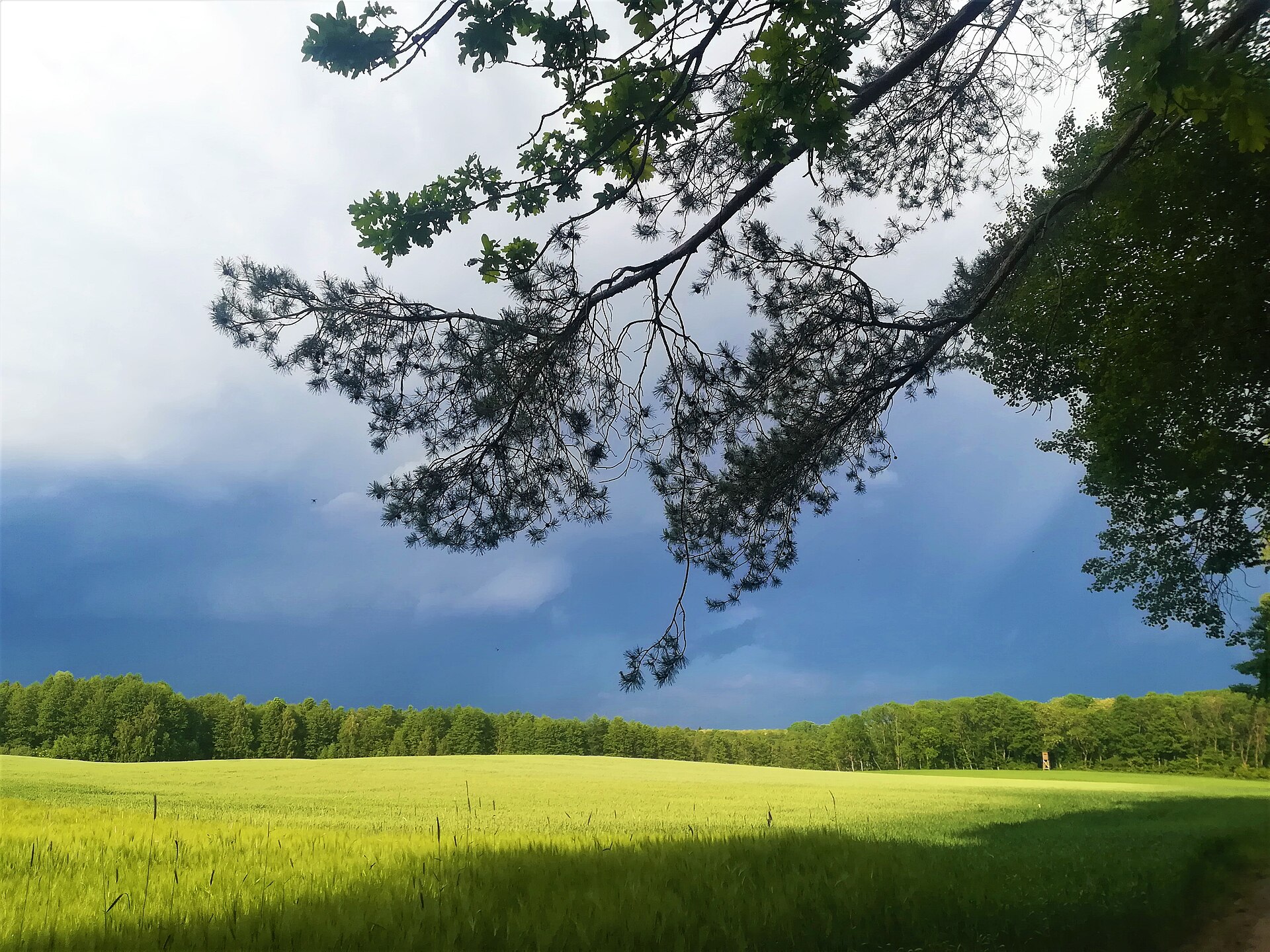
According to CORINE Land Cover (2018), the site is mainly made up of farmland (82%) and forests (10%). The land is almost flat (mean slope under 2°).
Biodiversity
Based on occurrences aggregated by GBIF, several species are regularly recorded within the site. Among the most frequent are Macrocheles merdarius, Macrocheles robustulus, Parasitus mustelarum and Macrocheles glaber. The full list of documented taxa is shown below.
Species to look out for
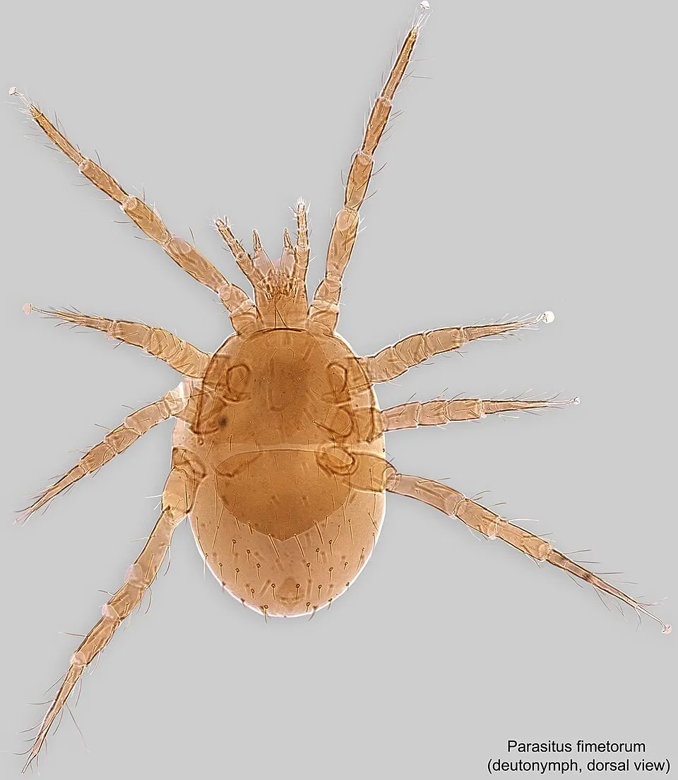
Arachnid
Parasitus fimetorum
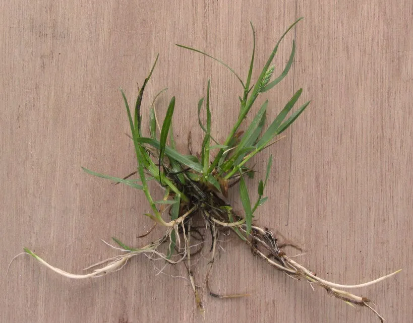
Plant
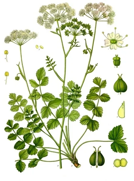
Burnet-saxifrage
Pimpinella saxifraga41 records © Franz Eugen Köhler, Köhler's Medizinal-Pflanzen · Public domain

Observed species
Occurrences documented via GBIF; they are neither an exhaustive inventory nor proof of current presence.
- Macrocheles merdarius · 4359
- Macrocheles robustulus · 502
- Parasitus mustelarum · 156
- Macrocheles glaber · 136
- House fly mite · Macrocheles muscaedomesticae · 87
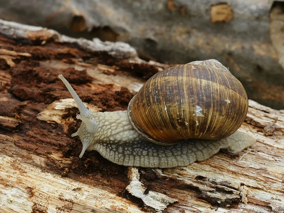
- Roman Snail · Helix pomatia · 80
- Parasitus fimetorum · 74
- Smooth Meadow-grass · Poa pratensis · 43
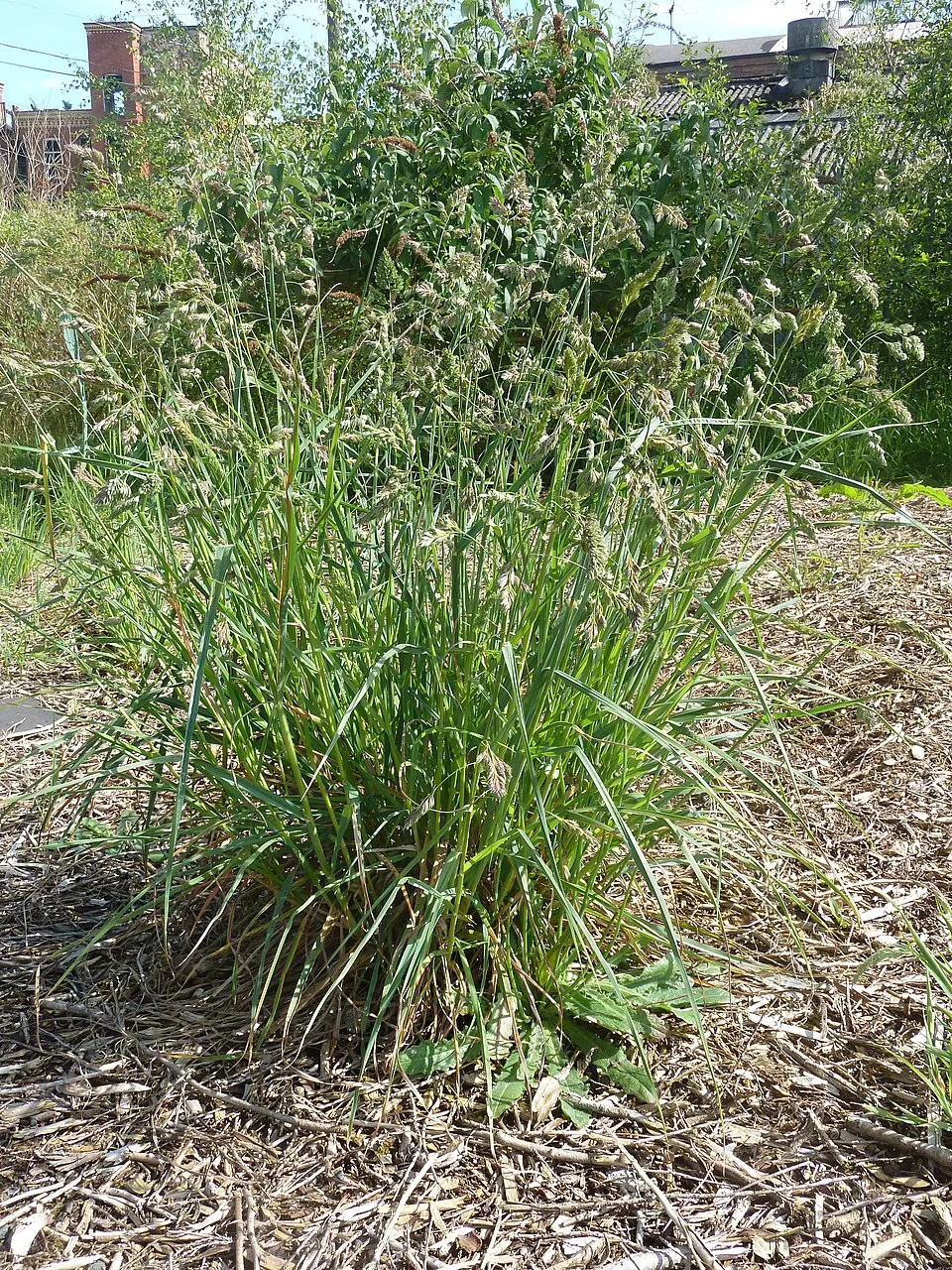
- Cock's-foot · Dactylis glomerata · 41
- Burnet-saxifrage · Pimpinella saxifraga · 41
- Common Crane · Grus grus · 36
- Greylag Goose · Anser anser · 34
+18 more species
- Sickle Medick · Medicago falcata · 31
- Field Bindweed · Convolvulus arvensis · 30
- Vervain mallow · Malva alcea · 26
- Great tit · Parus major · 26
- Tundra bean goose · Anser serrirostris · 25
- Mallard · Anas platyrhynchos · 25
- Greater knapweed · Centaurea scabiosa · 24
- Northern Raven · Corvus corax · 23
- Yellowhammer · Emberiza citrinella · 23
- Greater white-fronted goose · Anser albifrons · 22
- Spotted knapweed · Centaurea stoebe · 21
- Red fescue · Festuca rubra · 20
- Creeping Thistle · Cirsium arvense · 19
- Eurasian Magpie · Pica pica · 19
- Common Sorrel · Rumex acetosa · 18
- Plumeless thistle · Carduus acanthoides · 18
- Eurasian Tree Sparrow · Passer montanus · 18
- Common Coot · Fulica atra · 17
Records: GBIF.org (CC-BY). Names: Wikidata (CC0), GBIF. Photos: Wikimedia Commons.
Conservation challenges
The primary purpose of the site is to preserve its natural habitats and the biodiversity they support. The species recorded (Biodiversity tab) reflect its ecological value. Its status as a landscape park sets the regulatory framework for its protection.
According to Global Forest Change data (University of Maryland, Global Forest Watch), about 86 ha of tree cover were lost within the boundary between 2001 and 2023 (1% of its area), peaking in 2005 and 2021. These losses include logging, storms and fires, and do not account for regrowth. According to CORINE Land Cover, land cover here remained almost unchanged between 1990 and 2018 (less than 0.5% of the area affected). At night, the area gives off virtually no artificial light detectable from space (NASA VIIRS Black Marble composite, 2016). Built-up and developed land (buildings, business areas, roads, quarries) covers 1% of the area, and farmland 82% (CORINE Land Cover). According to the Water Framework Directive assessment (2022 river basin management plans, data 2014–2019), both rivers assessed within the site have moderate ecological potential. Other assessed water bodies: lakes, 0 of 1 in good ecological status or better.
Pressure indicators
Tree cover lost
86 ha
2001–2023 · 1% of the area
20012023
Fires since 2016
0
No large fire mapped (fires over about 30 ha)
Light at night
0%
of the area gives off artificial light visible from space
DarkLit
Built-up land
1%
buildings, business areas, roads, quarries · farmland 82%
Land cover change
< 0.5%
of the area changed, 1990–2018 · CORINE
Rivers and lakes
0%
of the 16 km of assessed rivers at good or high ecological potential (mostly heavily modified water bodies) · WFD 2022
Lakes: 0 of 1 good or better
assessments 2014–2019
Invasive alien species
1
recorded since 2000
Sources: Global Forest Change (Hansen et al., University of Maryland, via Global Forest Watch, CC-BY 4.0); EFFIS, European Commission / Copernicus; NASA Black Marble 2016 (public domain); CORINE Land Cover 2018 (Copernicus) or MODIS.
CORINE Land Cover Change 1990–2018: generated using European Union's Copernicus Land Monitoring Service information (EEA), aggregated by Parkavela; DOI 10.2909/f30f1000-7cf8-43bb-872c-5eb093911b24.
Ecological status of water bodies: European Environment Agency, WISE – Water Framework Directive, 3rd river basin management plans (2022), CC BY 4.0. Official national classification, not comparable between countries.
Invasive alien species: Global Register of Introduced and Invasive Species (ISSG, CC BY 4.0); Union list, Regulation (EU) 1143/2014 (INBO, CC0); GBIF.org records (CC0 / CC BY 4.0), at least 2 per species.
Practical information
Cities and airport
- Gniezno
11 km as the crow flies - Poznań
28 km as the crow flies - Airport: Poznań-Ławica (POZ)
35 km as the crow flies
Things to see
3 viewpoints · 7 lakes and ponds
- Jezioro Bakorce
lake or pond · 109 m - Jezioro Linie
lake or pond · 109 m - Jezioro Kamionek
lake or pond - Jezioro Lednica
lake or pond - Jezioro Sławno
lake or pond
Hiking
3 waymarked routes listed, including:
E 11 (1 237 km)Mielno
By bike
EV2 / EV9 · 9 km Czerwony Szlaki rowerowe powiatu gnieźnieńskiego - czerwony · 18 km
EV2 / EV9: route still largely undeveloped
+ 4 local loops
Signed cycle routes: this does not mean that cycling is allowed on footpaths.
Data © OpenStreetMap contributors (ODbL) · Wikidata (CC0)
Contains information from EuroVelo GPX tracks downloaded from www.EuroVelo.com on 2026-10-22, which is made available here under the Open Database License (ODbL). EuroVelo® is a registered trademark of the ECF. Routes © OpenStreetMap contributors (ODbL), via Waymarked Trails
Waymarked hiking routes
E11 European long distance path E11 - part Poland
7.4 km within the site ↗ 10 m↘ 11 m 107–120 m
WK/KP-208 Mielno - Kruszwica
21.7 km within the site ↗ 32 m↘ 27 m 103–124 m
Tracks © OpenStreetMap contributors (ODbL), clipped to the boundary; elevation gain and profiles computed on the longest section from Mapzen Terrain Tiles (≈ 30 m), indicative only.
Access and visiting
The nearest railway station is Pierzyska, about 4 km from the site boundary. Nearest towns of over 50,000 people, as the crow flies: Gniezno (11 km) and Poznań (28 km). Nearest airport: Poznań-Ławica (POZ), about 35 km away. About 230,000 people live within 20 km of the site boundary, 52,000 of them within 10 km; some 3,400 people are estimated to live inside (GHSL estimate, 2020). This population has grown by about 15% since 2000. Waymarked hiking routes listed in OpenStreetMap: 3, including E 11 (1 237 km) and Mielno. The EuroVelo 2 and EuroVelo 9 cycle routes, which share the same line here, cross the site for about 9 km; another signed cycle route also passes through: “Czerwony Szlaki rowerowe powiatu gnieźnieńskiego - czerwony” (EuroVelo, OpenStreetMap). To see: 3 viewpoints and 7 lakes and ponds, including Jezioro Bakorce (109 m), Jezioro Linie (109 m), Jezioro Kamionek and Jezioro Lednica. Where to stay: 4 campsites, including Biwak Lednica, MatMar and Stanica „Orle Gniazdo”. To plan a visit (access, opening periods, visitor rules), it is best to consult the official information from the managing body and the official website listed in this page's sources.
Source: OpenStreetMap (ODbL), Wikidata (CC0), October 2026.
Built heritage
According to Wikidata, 36 monuments listed in the Polish register of monuments stand within the boundary, 1 of them a national historic monument (Pomnik historii). Among them are 10 houses and civic buildings, 6 religious buildings and 6 bridges, lighthouses, mills and working buildings. Nationally designated items include “Ostrów Lednicki”.
10 houses and civic buildings6 religious buildings6 bridges, lighthouses, mills and working buildings
-
Ostrów Lednicki
National
-
Cmentarz przykościelny w Dziekanowicach
Dziekanowice -
Park podworski w Dziekanowicach
Dziekanowice · 19th c. -
Kuźnia
Zakrzewo · 19th c. -
Dwór w Głębokiem
Głębokie · 19th c. -
Saint Rosalia chapel in Sławno
Sławno -
Pałac w Zakrzewie
Zakrzewo · 19th c. -
Moraczewa)
Sędziwojewo
and 28 more
Source: Wikidata (CC0), monuments in each country’s official heritage protection registers, at national or regional level. Each item links to its Wikidata entry.
When to visit
Best time to visit: May and June, with average temperatures of 13 to 18 °C and moderate rainfall. Average temperatures drop below 0 °C in January: frost is common. Precipitation peaks in July (up to 100 mm per month). According to NASA's MODIS satellites (2015–2025 average), snow covers the site about 30 days a year, mostly in December and January. Day length ranges from about 7 h 41 min in December to 16 h 48 min in June. Wildlife records published on GBIF peak for birds (March and April) and plants (August). These peaks also reflect when observers are most active.
Source: Copernicus ERA5-Land (C3S), monthly averages 1996–2025 at the representative point, temperatures adjusted for elevation.
Contains modified Copernicus Climate Change Service information 2026. Neither the European Commission nor ECMWF is responsible for any use that may be made of the Copernicus information or data it contains.
Wildlife records calendar
JFMAMJJASOND
Birds
Plants
Monthly records published on GBIF (CC-BY), relative to the busiest month; also reflects observer activity.
Gallery
© Wikipek · CC0-1.0
© MOs810 · CC BY-SA 4.0
© NASA · Public domain
© PiotrXX · CC BY-SA 3.0
© PiotrXX · CC BY-SA 3.0
© Donald Trung Quoc Don (Chữ Hán: 徵國單) - Wikimedia Commons - © CC BY-SA 4.0 International.(Want to use this image?)Original publication 📤: --Donald Trung 『徵國單』 (No Fake News 💬) (WikiProject Numismatics 💴) (Articles 📚) 07:57, 1 June 2020 (UTC) · CC BY-SA 4.0
Sources and licences
- Wikidata: Q3502432
- OpenStreetMap: relation 4522369
- Official website: http://www.zpkww.pl/parki/lednicki-park-krajobrazowy/informacje-ogolne/
- Wikipedia: en.wikipedia.org/wiki/Lednica_Landscape_Park
- WDPA: 62884
References
- cds.climate.copernicus.eu: climate · CC-BY-4.0
- registry.opendata.aws: elevation of the reference point, detailed relief · PD
- land.copernicus.eu: land cover, land cover change, sea share · COPERNICUS
- doi.org: population around the site · CC-BY-4.0
- wikidata.org: official area, establishment date, protected heritage, nearby cities and airport, access and peaks, lake depths, places to see, official website · CC0-1.0
- eea.europa.eu: bathing water quality, ecological status of waters · CC-BY-4.0
- en.eurovelo.com: EuroVelo cycle routes · ODbL-1.0
- cycling.waymarkedtrails.org: cycle routes · ODbL-1.0
- opentopodata.org: elevations · PD
- forest-fire.emergency.copernicus.eu: wildfires · COPERNICUS
- globalforestwatch.org: tree cover loss · CC-BY-4.0
- gbif.org: seasonality of sightings, invasive alien species, observed species · CC-BY-4.0
- europe-geology.eu: geology · CC-BY-4.0
- hydrosheds.org: lakes · CC-BY-4.0
- openstreetmap.org: official name, access and peaks, places to see · ODbL-1.0
- earthobservatory.nasa.gov: night light · PD
- hiking.waymarkedtrails.org: route difficulty · ODbL-1.0
- nsidc.org: snow cover · PD
- wikidata.org: Wikipedia article · CC-BY-SA-4.0
Data © OpenStreetMap contributors (ODbL), Wikidata (CC0) and the sources cited.