
Bird
Great Spotted Woodpecker
Dendrocopos major56 records © Sławomir Staszczuk (info [AT] photoss.net) · CC BY-SA 3.0
Poland · Terrestrial
Landscape park of 12,202 hectares in Poland, established in 1988.
Landscape park of 12,202 hectares in Poland, established in 1988.
Puszcza Zielonka Landscape Park is located in Poland (Europe). It is a predominantly terrestrial area. Established on 26 May 1988, it covers about 12,202 hectares.
Protected as a landscape park. International labels and designations: Natura 2000 network (1 site: “Uroczyska Puszczy Zielonki”). Key dates: established in 1988 and first Natura 2000 site under the Habitats Directive in 2011.
Sources: Wikidata (CC0) for establishment and international labels; EEA Natura 2000 database (CC-BY 4.0) for site designation dates.
In Poland (Europe). Representative point: 52.5533° N, 17.1133° E.
About 12,202 hectares (122 km²). It is the 80th largest of the 121 landscape parks in Poland covered by Parkavela.
On 26 May 1988.
A terrestrial area, with forests.
According to the European 1:1 million geological map (EGDI), the bedrock consists mainly of sands and gravels (80% of sampled points) and glacial deposits (20%). These are mostly sedimentary rocks. The geological units date mainly from the Quaternary (100% of sampled points).
Dziewicza Góra, at 145 m (OpenStreetMap).
Natura 2000 network (1 site: “Uroczyska Puszczy Zielonki”).
Best time to visit: May and June, with average temperatures of 14 to 18 °C and moderate rainfall.
Yes. According to NASA's MODIS satellites (2015–2025 average), snow covers most of the site in January, with about 40 snow-covered days a year on average.
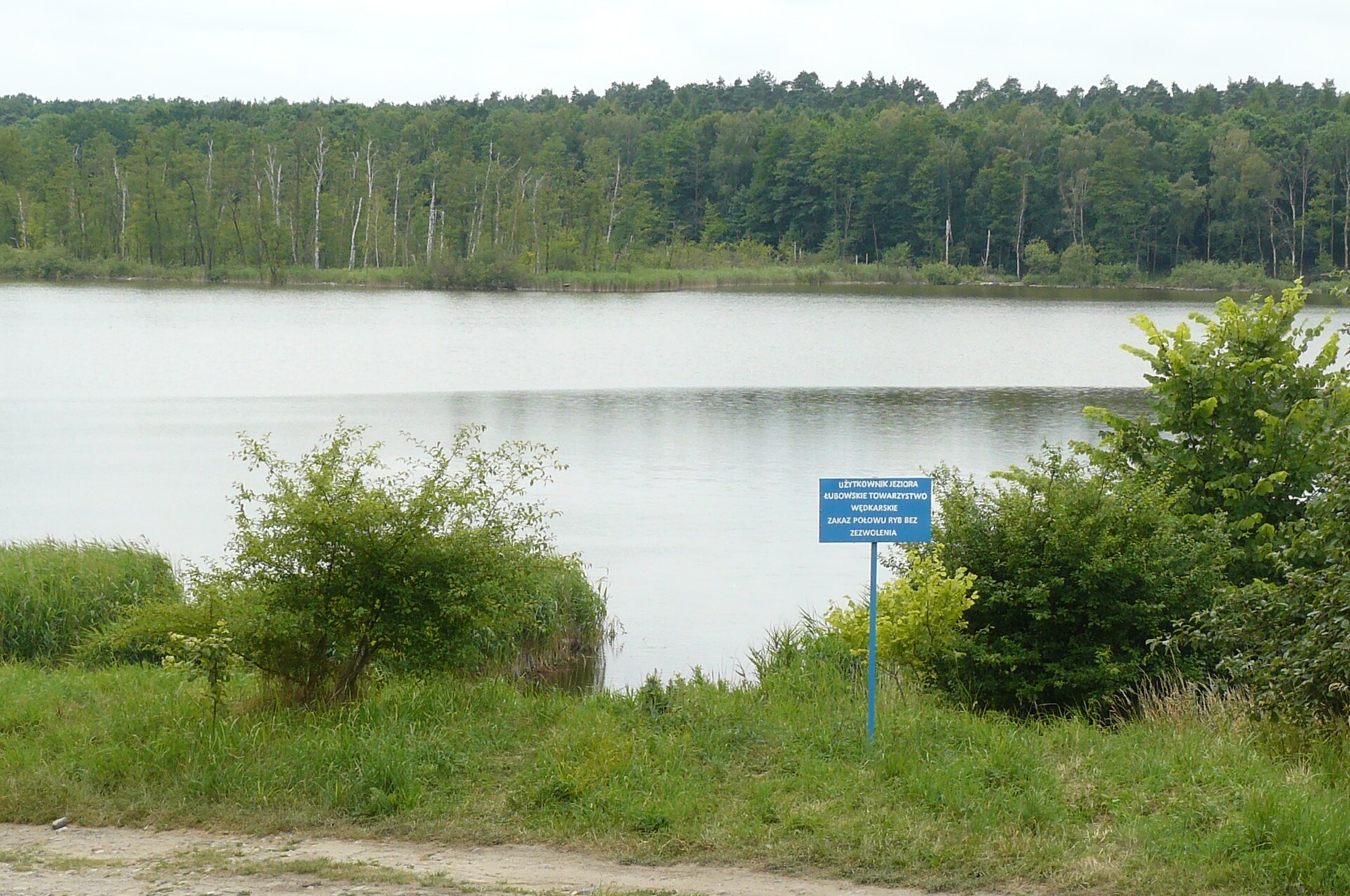
2 viewpoints and 21 lakes and ponds, including Dziewicza Góra (145 m), Dobre, Wieża widokowa na Dziewiczej Górze and Dzwonowskie (OpenStreetMap).
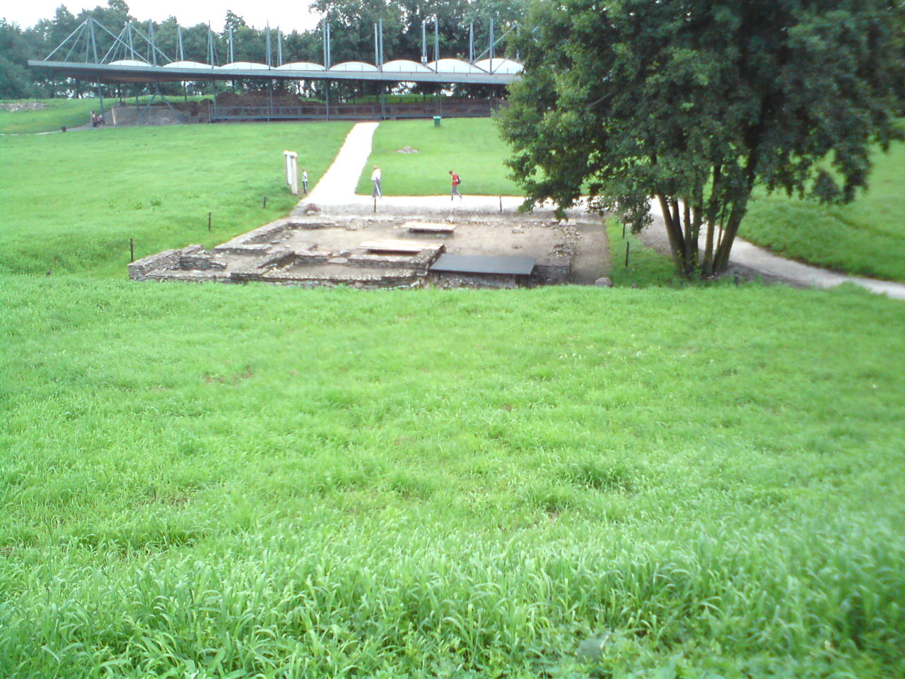
Yes. According to Wikidata, 7 monuments listed in the Polish register of monuments stand within the boundary. For example: “Cmentarz we Wronczyniu” in Wronczyn, “Leśniczówka w Głęboczku” in Głęboczek and “Studnia, Kamińsko” in Kamińsko.
One monitored bathing site lies in or within 1 km of the site (European Environment Agency). Swimming is only permitted at the sites and times authorised locally.
Nearest towns of over 50,000 people, as the crow flies: Poznań (9 km) and Gniezno (26 km). Nearest airport: Poznań-Ławica (POZ), about 13 km away.
The nearest railway station is Sława Wielkopolska, about 1 km from the site boundary.
Yes. Waymarked hiking routes listed in OpenStreetMap: 8, including Jezioro Płocie, Murowana Goślina, Ludwikowo and Oborniki. The “WK-3593 · Dziewicza Góra - Sława Wielkopolska” route runs for about 27 km through the site, with some 110 m of ascent on its longest section.
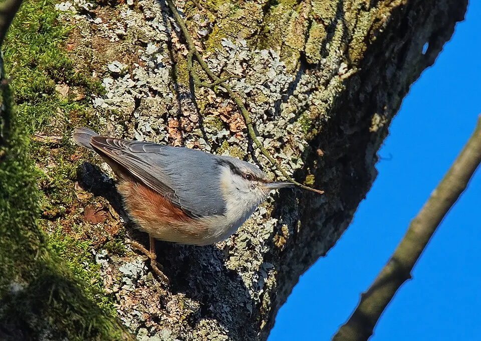
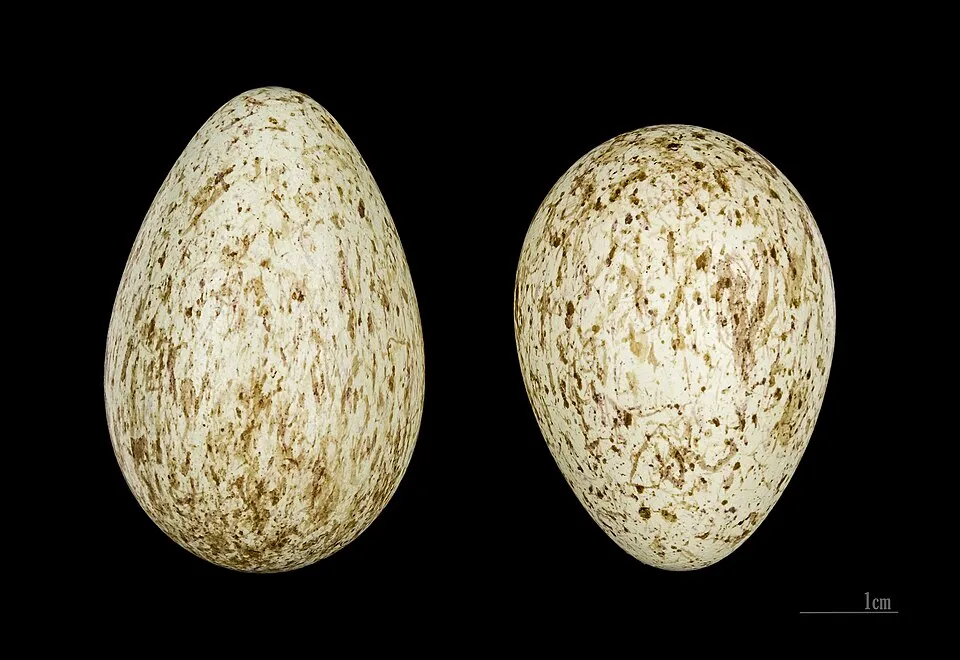
Among the species most often recorded on GBIF are Dendrocopos major (Great Spotted Woodpecker), Parus major (Great tit), Fringilla coelebs (Eurasian Chaffinch) and Turdus merula (Common Blackbird).
© OpenStreetMap
Download the boundary: GeoJSON · GPX Boundary © OpenStreetMap contributors (ODbL).
The representative point of the site lies at around 95 m above sea level. Over the 1996–2025 period, the mean annual temperature is about 9.5 °C and total precipitation reaches roughly 654 mm per year. The warmest month is usually July, the coolest January, and the wettest July. According to the European 1:1 million geological map (EGDI), the bedrock consists mainly of sands and gravels (80% of sampled points) and glacial deposits (20%). These are mostly sedimentary rocks. The geological units date mainly from the Quaternary (100% of sampled points). The site contains 10 lakes larger than 10 ha, totalling 1.7 km² of water; the largest, Jezioro Stęszewskie, covers 62 ha (HydroLAKES).
Lakes: HydroLAKES (Messager et al. 2016, hydrosheds.org, CC BY 4.0) · depths: Wikidata (CC0)
Sedimentary rocks 100 % · Main age: Quaternary (100%)
Source: EGDI 1:1M geological map (EuroGeoSurveys and national geological surveys), CC BY 4.0 · 15 sampled points within the site.
● Mean temperature (°C) · ▮ Precipitation (mm)
Source: Copernicus ERA5-Land (C3S, doi:10.24381/cds.68d2bb30), monthly averages 1996–2025 interpolated to the representative point, temperatures adjusted for elevation.
Contains modified Copernicus Climate Change Service information 2026. Neither the European Commission nor ECMWF is responsible for any use that may be made of the Copernicus information or data it contains.
average share of the site under snow · snowiest parts · ≈ 40 days a year
Snow cover: MODIS/Terra MOD10CM v61 (Hall & Riggs, 2021, NASA NSIDC DAAC, doi:10.5067/MODIS/MOD10CM.061), imagery from NASA GIBS (ESDIS); 2015–2025 average, grid of about 5 km.
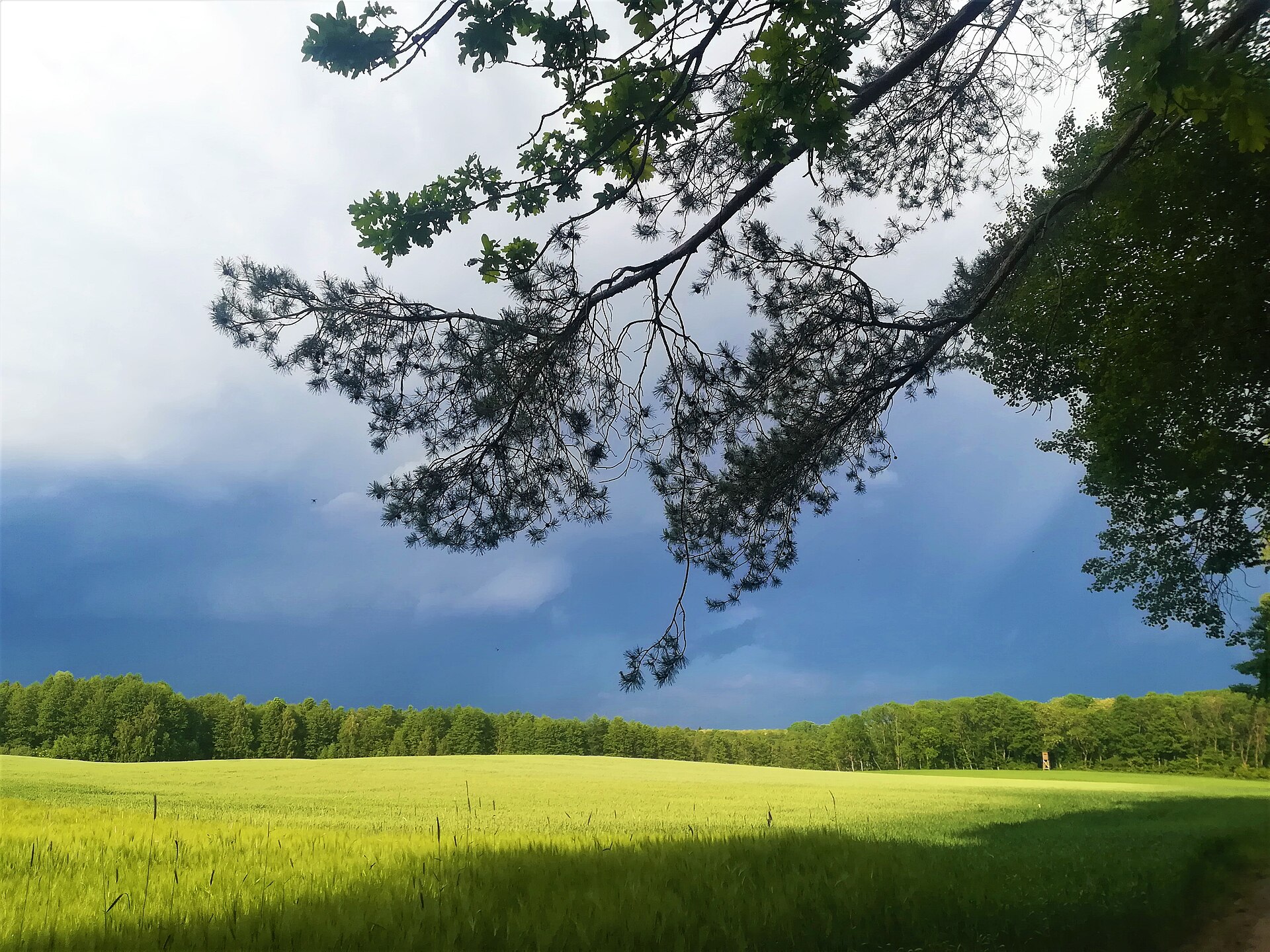
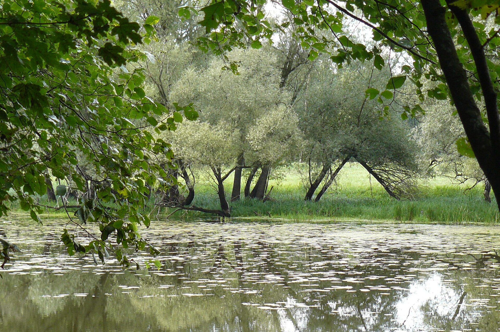
According to CORINE Land Cover (2018), the site is mainly made up of forests (86%), farmland (6%) and heath and scrub (6%). Woodland mixes broadleaved and coniferous trees. Elevation ranges from about 70 m to 145 m (highest point: Dziewicza Góra). The Natura 2000 site overlapping the area lists 11 habitats of European interest (2 priority), the most extensive being old acidophilous oak woods with Quercus robur on sandy plains, Galio-Carpinetum oak-hornbeam forests and hard oligo-mesotrophic waters with benthic vegetation of Chara spp.
Based on occurrences aggregated by GBIF, several species are regularly recorded within the site. Among the most frequent are Dendrocopos major (Great Spotted Woodpecker), Parus major (Great tit), Fringilla coelebs (Eurasian Chaffinch) and Turdus merula (Common Blackbird). The full list of documented taxa is shown below. The overlapping Natura 2000 site lists 4 species of European interest: 2 mammals, 1 amphibian and 1 invertebrate.
From the official form of the Natura 2000 site overlapping the area (areas reported for the whole site).
and 3 more
Source: Natura 2000 standard data forms (EEA, CC-BY 4.0). Not exhaustive: sensitive species are not published.
Bird
56 records © Sławomir Staszczuk (info [AT] photoss.net) · CC BY-SA 3.0



Occurrences documented via GBIF; they are neither an exhaustive inventory nor proof of current presence.
Records: GBIF.org (CC-BY). Names: Wikidata (CC0), GBIF. Photos: Wikimedia Commons.
The primary purpose of the site is to preserve its natural habitats and the biodiversity they support. The species recorded (Biodiversity tab) reflect its ecological value. The designations it holds frame its management and the control of land use.
According to Global Forest Change data (University of Maryland, Global Forest Watch), about 1,080 ha of tree cover were lost within the boundary between 2001 and 2023 (9% of its area), peaking in 2011. These losses include logging, storms and fires, and do not account for regrowth. Apart from forest felling and regrowth (about 810 ha in total), land cover remained almost unchanged between 1990 and 2018 according to CORINE Land Cover. At night, 4% of the area gives off artificial light detectable from space (NASA VIIRS Black Marble composite, 2016). Built-up and developed land (buildings, business areas, roads, quarries) covers 1% of the area, and farmland 6% (CORINE Land Cover). According to the Natura 2000 forms, of 11 assessed habitats of European interest, 2 are in excellent condition and 2 in average or reduced condition. According to the Water Framework Directive assessment (2022 river basin management plans, data 2014–2019), none of the 25 km of rivers assessed within the site reaches good ecological potential; they mostly have moderate ecological potential. Other assessed water bodies: lakes, 1 of 1 in good ecological status or better. Since 2000, 7 invasive alien species have been recorded within the site (GBIF observations), one of them listed as of Union concern under EU Regulation 1143/2014. Among them: Reynoutria sachalinensis (Giant Knotweed), Prunus serotina (Black cherry) and Impatiens parviflora (Small balsam).
1,078 ha
2001–2023 · 9% of the area
0
No large fire mapped (fires over about 30 ha)
4%
of the area gives off artificial light visible from space
1%
buildings, business areas, roads, quarries · farmland 6%
< 0.5%
of the area changed, 1990–2018 · CORINE
forest felling and regrowth: 810 ha in total
0%
of the 25 km of assessed rivers at good or high ecological potential (mostly heavily modified water bodies) · WFD 2022
Lakes: 1 of 1 good or better
assessments 2014–2019
7
incl. 1 of EU concern · since 2000
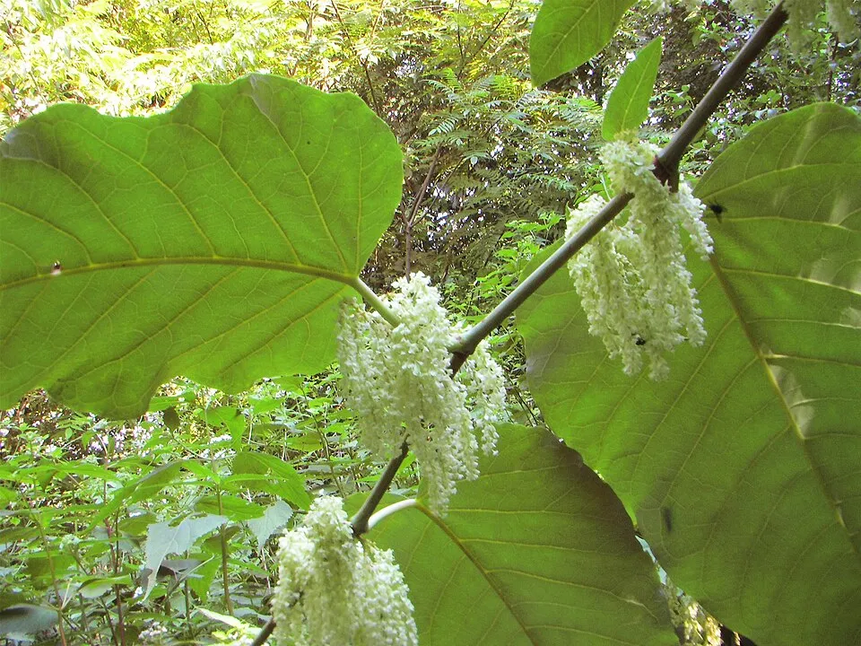 Giant KnotweedEU
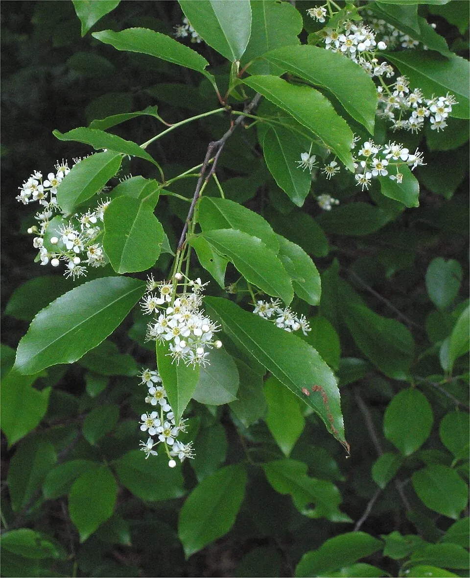 Black cherry
 Small balsam
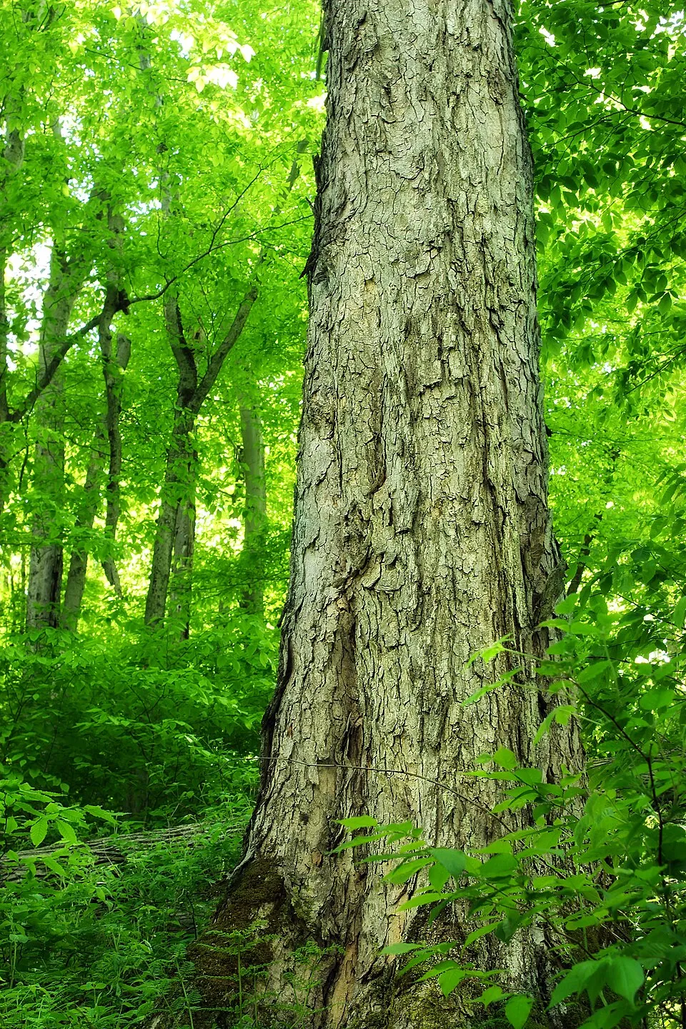 Northern red oak
 Black locust
 Japanese rose
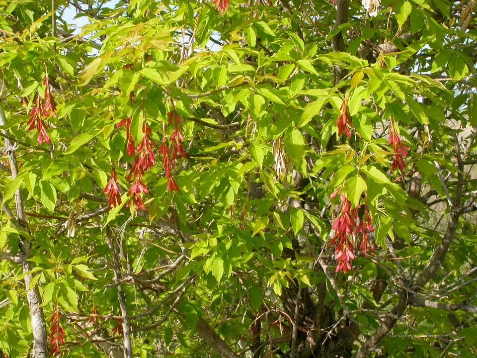 Ashleaf maple
Photos: Giant Knotweed © Velocicaptor · Public domain; Black cherry © Rasbak · CC BY-SA 3.0; Small balsam © André Karwath aka Aka · CC BY-SA 2.5; Northern red oak © Nicholas A. Tonelli from Northeast Pennsylvania, USA · CC BY 2.0; Black locust © This Photo was taken by Wolfgang Moroder. Feel free to use my photos, but please mention me as the author and send me a message. This image is not in the public domain. Please respect the copyright protection. It may only be used according… · CC BY-SA 3.0; Japanese rose © Vihljun · Public domain; Ashleaf maple © Matt Lavin from Bozeman, Montana, USA · CC BY-SA 2.0
Sources: Global Forest Change (Hansen et al., University of Maryland, via Global Forest Watch, CC-BY 4.0); EFFIS, European Commission / Copernicus; NASA Black Marble 2016 (public domain); CORINE Land Cover 2018 (Copernicus) or MODIS.
CORINE Land Cover Change 1990–2018: generated using European Union's Copernicus Land Monitoring Service information (EEA), aggregated by Parkavela; DOI 10.2909/f30f1000-7cf8-43bb-872c-5eb093911b24.
Ecological status of water bodies: European Environment Agency, WISE – Water Framework Directive, 3rd river basin management plans (2022), CC BY 4.0. Official national classification, not comparable between countries.
Invasive alien species: Global Register of Introduced and Invasive Species (ISSG, CC BY 4.0); Union list, Regulation (EU) 1143/2014 (INBO, CC0); GBIF.org records (CC0 / CC BY 4.0), at least 2 per species.
2 viewpoints · 21 lakes and ponds
8 waymarked routes listed, including:
+ 8 local loops
Signed cycle routes: this does not mean that cycling is allowed on footpaths.
Data © OpenStreetMap contributors (ODbL) · Wikidata (CC0)
Routes © OpenStreetMap contributors (ODbL), via Waymarked Trails
20.7 km within the site ↗ 121 m↘ 114 m 80–119 m
2.9 km within the site ↗ 34 m↘ 6 m 81–110 m
3.6 km within the site ↗ 17 m↘ 5 m 100–116 m
18.3 km within the site ↗ 79 m↘ 91 m 74–117 m
26.7 km within the site ↗ 107 m↘ 72 m 76–125 m
1.3 km within the site ↗ 30 m↘ 0 m 110–146 m
Tracks © OpenStreetMap contributors (ODbL), clipped to the boundary; elevation gain and profiles computed on the longest section from Mapzen Terrain Tiles (≈ 30 m), indicative only.
1 monitored bathing site in or within 1 km of the site · 2025 classification
Source: European Environment Agency, official bathing water classification (Directive 2006/7/EC, CC-BY 4.0). Swimming is only permitted at the sites and times authorised locally.
The nearest railway station is Sława Wielkopolska, about 1 km from the site boundary. Nearest towns of over 50,000 people, as the crow flies: Poznań (9 km) and Gniezno (26 km). Nearest airport: Poznań-Ławica (POZ), about 13 km away. About 890,000 people live within 20 km of the site boundary, 390,000 of them within 10 km; some 3,300 people are estimated to live inside (GHSL estimate, 2020). This population has grown by about 5% since 2000. Waymarked hiking routes listed in OpenStreetMap: 8, including Jezioro Płocie, Murowana Goślina, Ludwikowo and Oborniki. The site is crossed by 2 signed cycle routes: “CSR Cysterski Szlak Rowerowy” and “PDP Pierścień Dookoła Poznania” (OpenStreetMap). To see: 2 viewpoints and 21 lakes and ponds, including Dziewicza Góra (145 m), Dobre, Wieża widokowa na Dziewiczej Górze and Dzwonowskie. To plan a visit (access, opening periods, visitor rules), it is best to consult the official information from the managing body and the official website listed in this page's sources.
Source: OpenStreetMap (ODbL), Wikidata (CC0), October 2026.
According to Wikidata, 7 monuments listed in the Polish register of monuments stand within the boundary. Among them are 4 religious buildings and 1 house or civic building. Examples include “Cmentarz we Wronczyniu” in Wronczyn, “Leśniczówka w Głęboczku” in Głęboczek and “Studnia, Kamińsko” in Kamińsko.
Source: Wikidata (CC0), monuments in each country’s official heritage protection registers, at national or regional level. Each item links to its Wikidata entry.
Best time to visit: May and June, with average temperatures of 14 to 18 °C and moderate rainfall. Average temperatures drop below 0 °C in January: frost is common. Precipitation peaks in July (up to 100 mm per month). According to NASA's MODIS satellites (2015–2025 average), snow covers most of the site in January, with about 40 snow-covered days a year on average. Day length ranges from about 7 h 40 min in December to 16 h 48 min in June. Wildlife records published on GBIF peak for birds (May), plants (August), butterflies and moths (July), dragonflies (June) and mammals (February and March). These peaks also reflect when observers are most active.
Source: Copernicus ERA5-Land (C3S), monthly averages 1996–2025 at the representative point, temperatures adjusted for elevation.
Contains modified Copernicus Climate Change Service information 2026. Neither the European Commission nor ECMWF is responsible for any use that may be made of the Copernicus information or data it contains.
Monthly records published on GBIF (CC-BY), relative to the busiest month; also reflects observer activity.
Data © OpenStreetMap contributors (ODbL), Wikidata (CC0) and the sources cited.