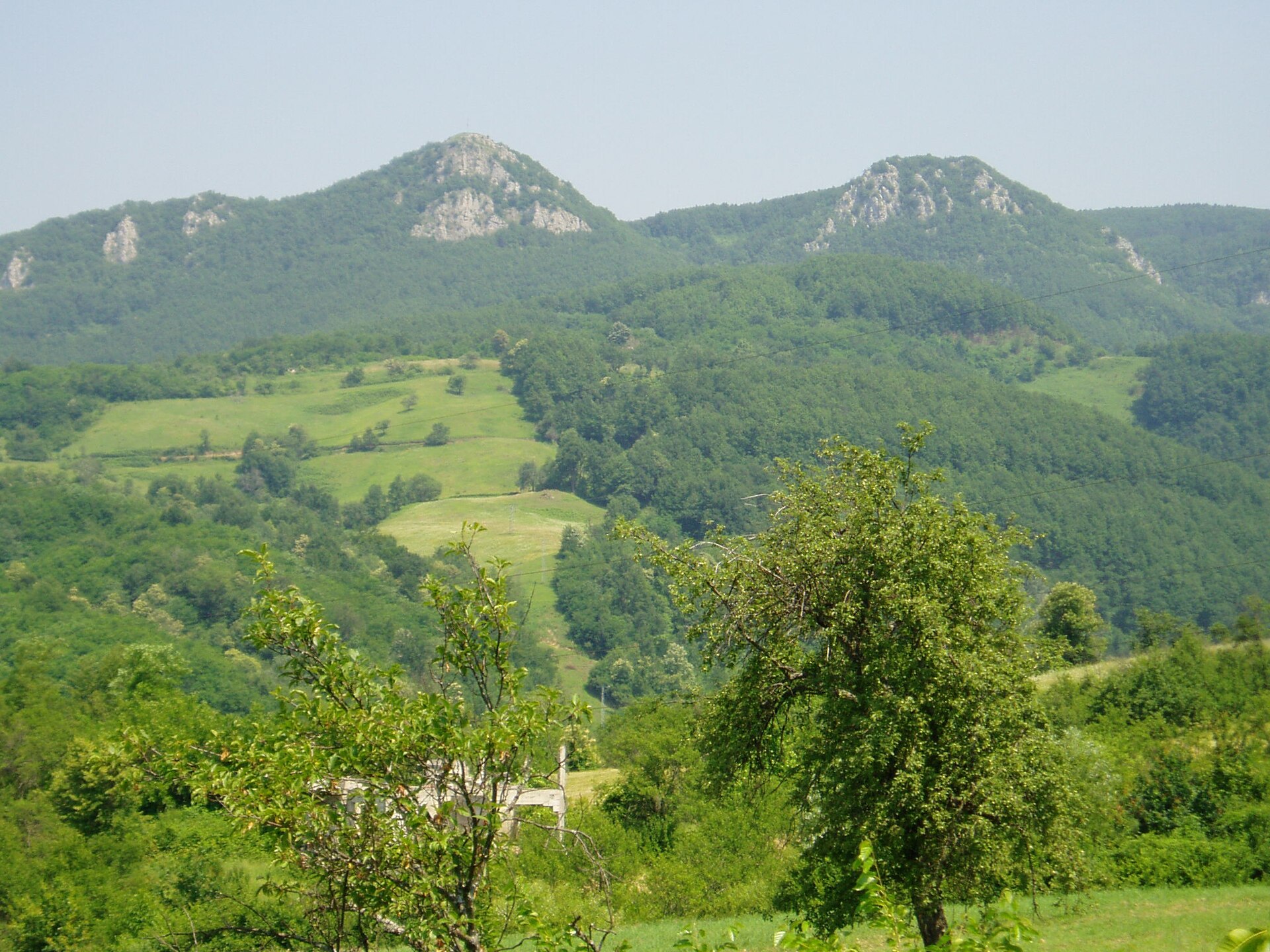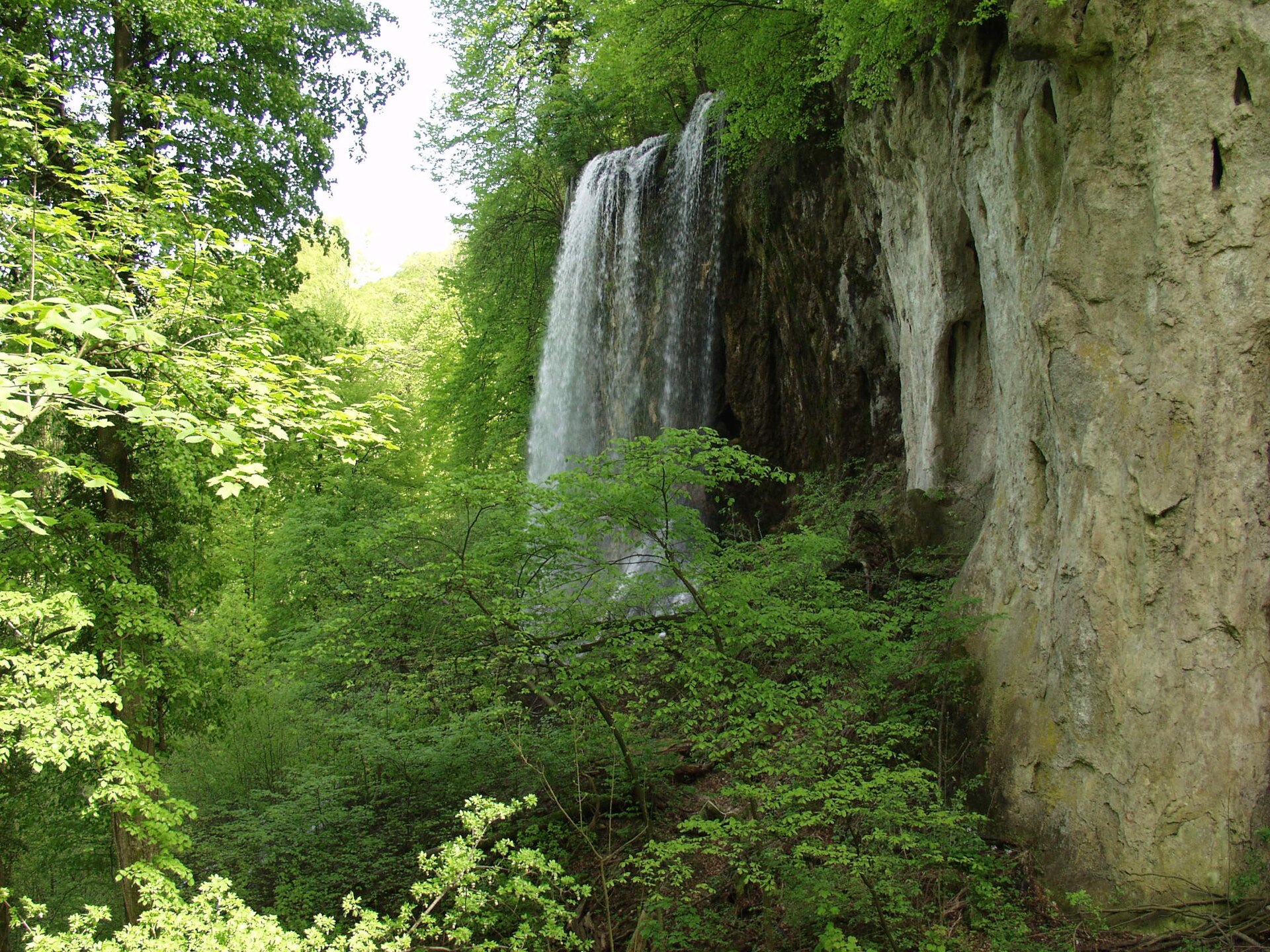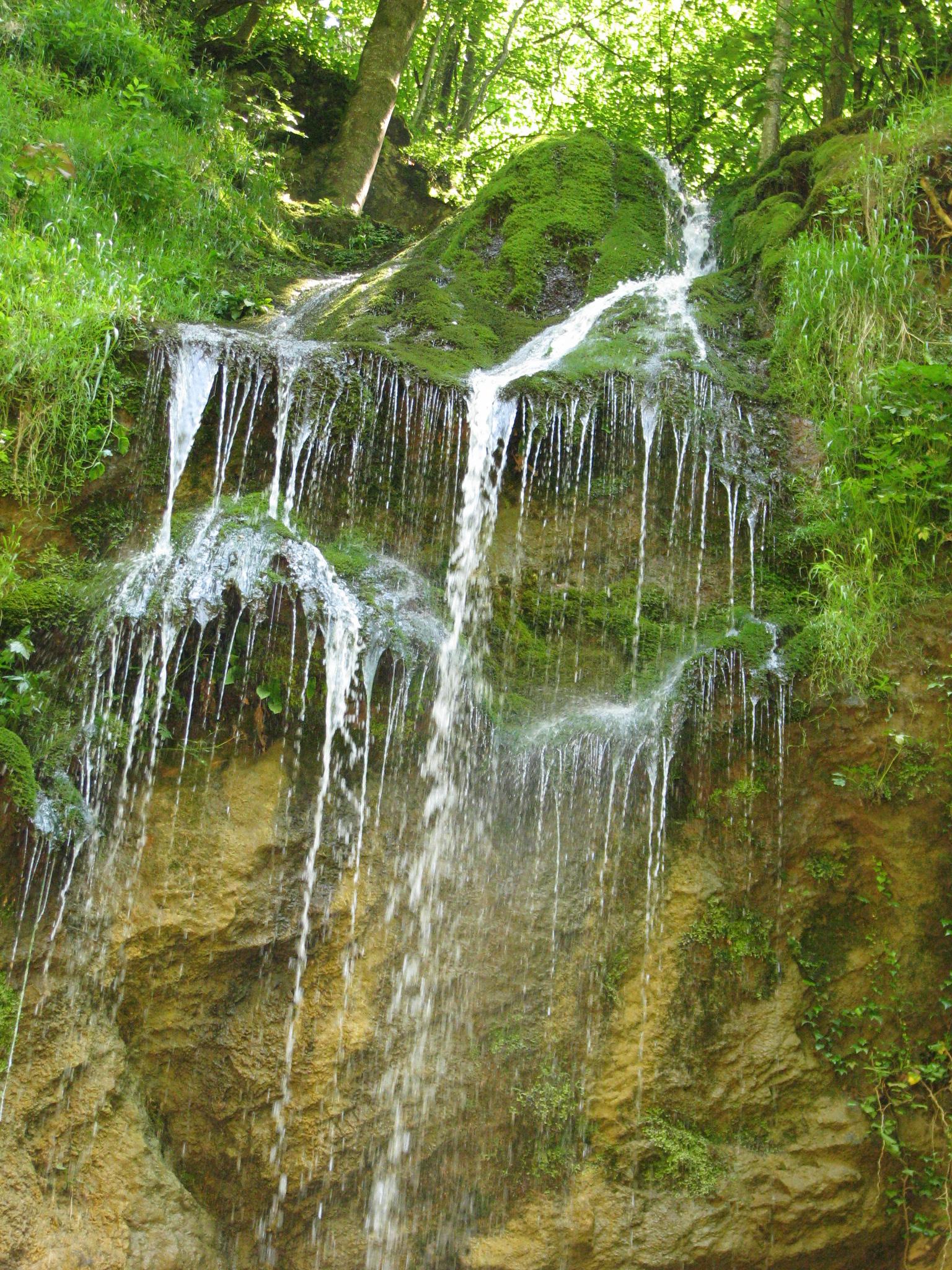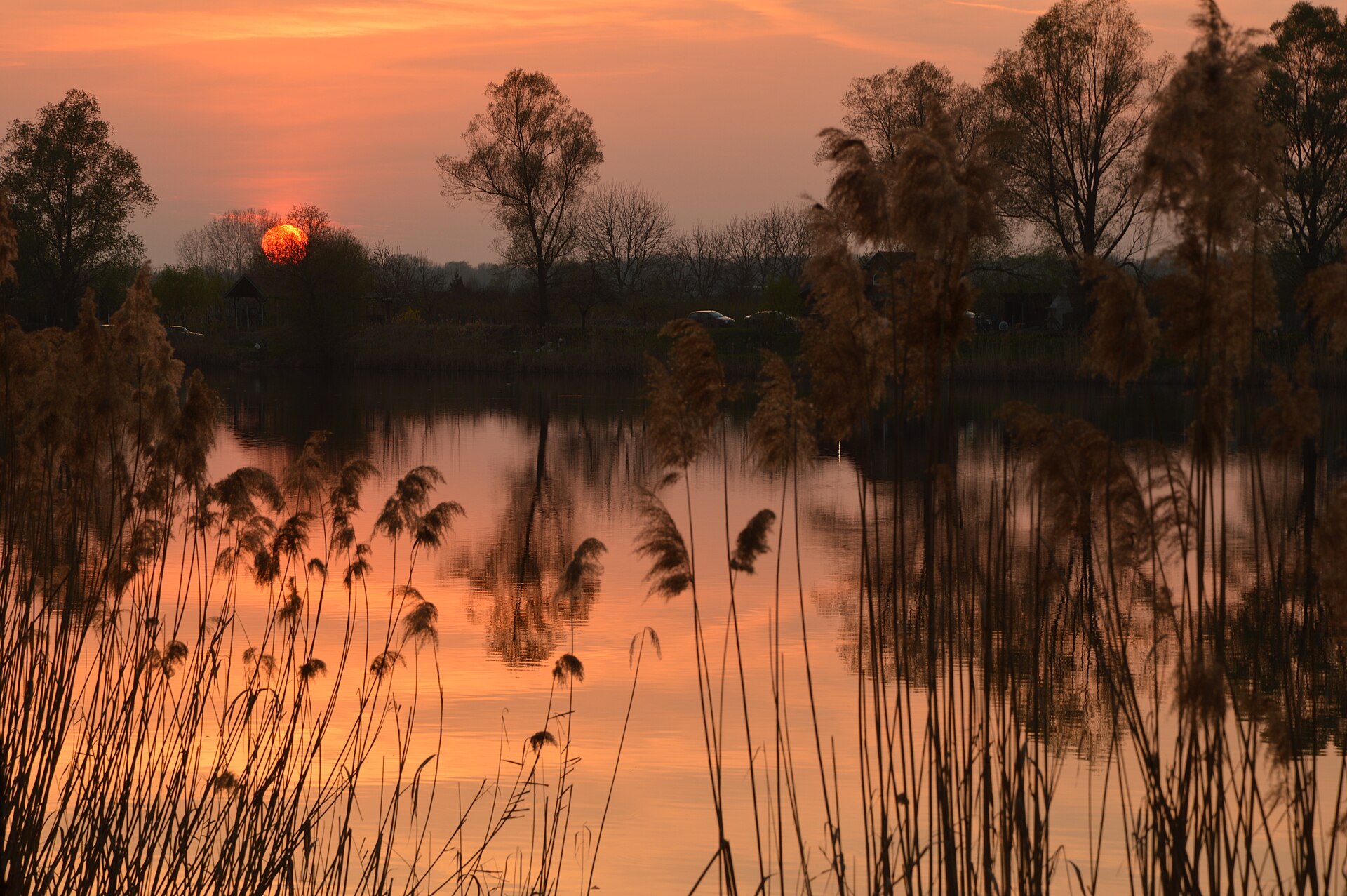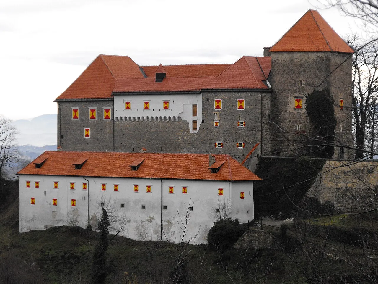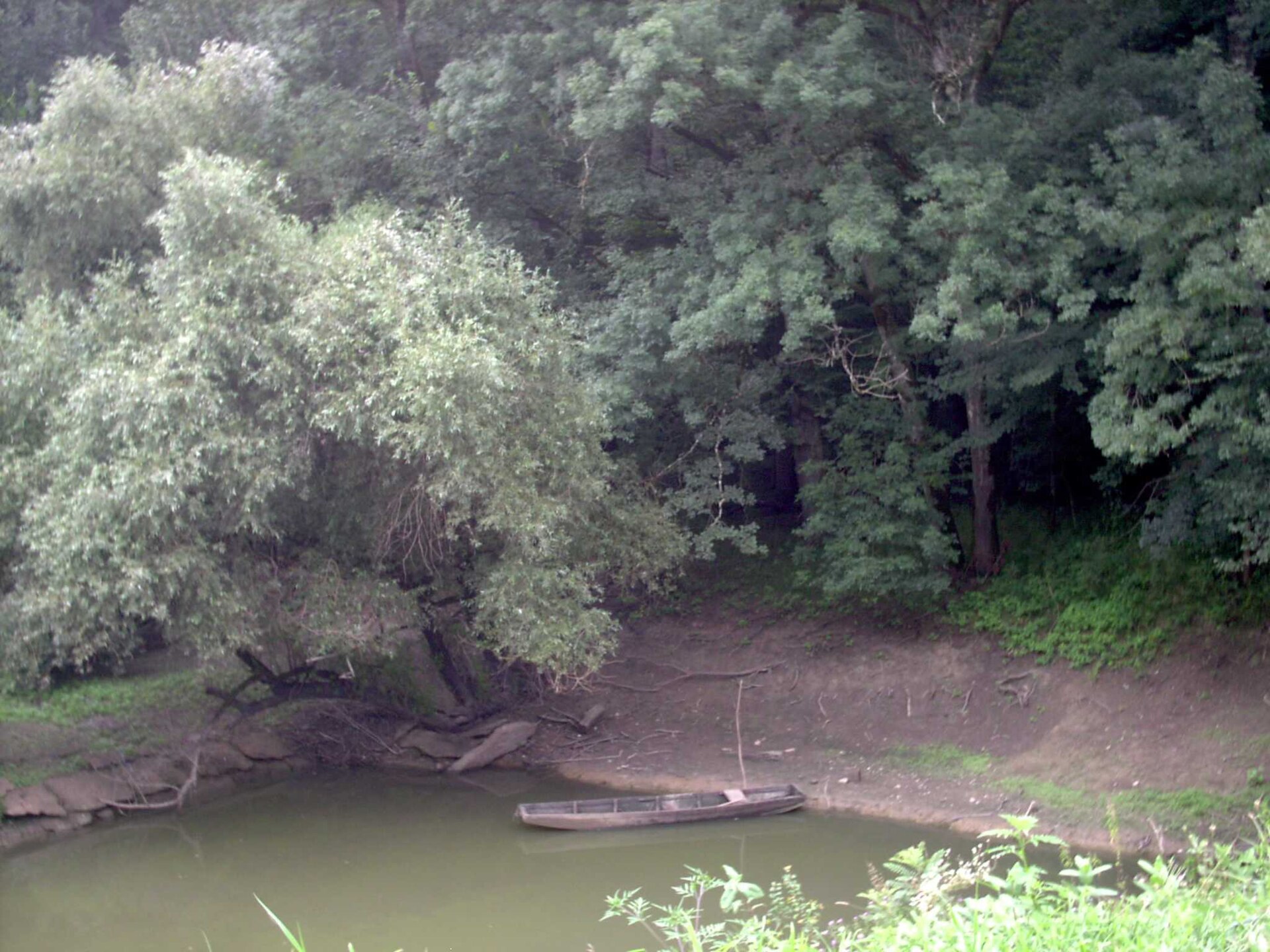

Croatia · Terrestrial
Lonjsko polje Nature Park
Nature park of 50,650 hectares in Croatia, established in 1990.
Overview
Nature park of 50,650 hectares in Croatia, established in 1990.
Lonjsko polje Nature Park is located in Croatia (Europe). It is a predominantly terrestrial area. Established on 26 March 1990, it covers about 50,650 hectares.
Protections and designations
Ramsar site
Natura 2000 · habitats (SAC)
- Lonjsko polje HR2000416
Natura 2000 · birds (SPA)
- Donja Posavina HR1000004
World Heritage tentative list
Protected as a nature park. International labels and designations: Ramsar site and Natura 2000 network (2 sites). Key dates: established in 1990, Ramsar Site in 1993, first Natura 2000 site under the Birds Directive in 2013 and first Natura 2000 site under the Habitats Directive in 2014.
In our collections
Timeline
-
1990
Established
-
1993
Ramsar Site (wetland of international importance) Lonjsko Polje Nature park
-
2013
First Natura 2000 site under the Birds Directive
-
2014
First Natura 2000 site under the Habitats Directive
Sources: Wikidata (CC0) for establishment and international labels; EEA Natura 2000 database (CC-BY 4.0) for site designation dates.
Frequently asked questions
Where is Lonjsko polje Nature Park?
In Croatia (Europe). Representative point: 45.3602° N, 16.8173° E.
How large is Lonjsko polje Nature Park?
About 50,650 hectares (507 km²). It is the 4th largest of the 13 nature parks in Croatia covered by Parkavela.
When was Lonjsko polje Nature Park established?
On 26 March 1990.
What habitats and landscapes does Lonjsko polje Nature Park include?
A terrestrial area, with forests.
Which international labels apply to Lonjsko polje Nature Park?
Ramsar site and Natura 2000 network (2 sites).
When is the best time to visit Lonjsko polje Nature Park?
Best time to visit: from April to October, with average temperatures of 12 to 24 °C and moderate rainfall.
What is there to see in Lonjsko polje Nature Park?
Mala Toka (lake or pond) (Wikidata).
What is the nearest large city to Lonjsko polje Nature Park?
Nearest towns of over 50,000 people, as the crow flies: Prijedor (34 km) and Velika Gorica (34 km). Nearest airport: Zagreb (ZAG), about 36 km away.
How can I reach Lonjsko polje Nature Park by train?
The nearest railway station is Banova Jaruga, about 4 km from the site boundary.
Where can I get visitor information on site?
Informativni punkt Lonjsko Polje, TZ Jasenovac and Prijamni centar Repušnica.
Which species can be seen in Lonjsko polje Nature Park?
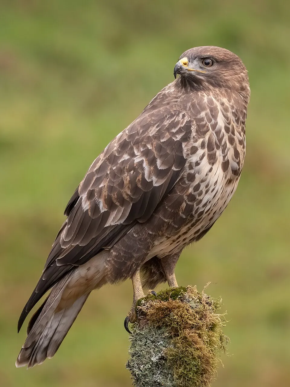
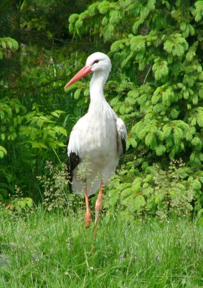
Among the species most often recorded on GBIF are Ardea cinerea (Grey Heron), Buteo buteo (Common Buzzard), Corvus corax (Northern Raven) and Ciconia ciconia (White stork).
© OpenStreetMap
Download the boundary: GeoJSON · GPX Boundary © OpenStreetMap contributors (ODbL).
Geography
The representative point of the site lies at around 101 m above sea level. Over the 1996–2025 period, the mean annual temperature is about 12.5 °C and total precipitation reaches roughly 908 mm per year. The warmest month is usually July, the coolest January, and the wettest May.
Area
- Area
- 50,650 ha
- Elevation
- 101 m
- Coordinates
- 45.3602, 16.8173
Climate
● Mean temperature (°C) · ▮ Precipitation (mm)
Source: Copernicus ERA5-Land (C3S, doi:10.24381/cds.68d2bb30), monthly averages 1996–2025 interpolated to the representative point, temperatures adjusted for elevation.
Contains modified Copernicus Climate Change Service information 2026. Neither the European Commission nor ECMWF is responsible for any use that may be made of the Copernicus information or data it contains.
Natural habitats
According to CORINE Land Cover (2018), the site is mainly made up of forests (39%), heath and scrub (28%) and grassland and meadows (15%). Woodland is mostly broadleaved. The land is almost flat (mean slope under 2°).
Biodiversity
Based on occurrences aggregated by GBIF, several species are regularly recorded within the site. Among the most frequent are Ardea cinerea (Grey Heron), Buteo buteo (Common Buzzard), Corvus corax (Northern Raven) and Ciconia ciconia (White stork). The full list of documented taxa is shown below. The overlapping Natura 2000 sites list 89 species of European interest: 70 birds, 3 mammals, 1 reptile, 3 amphibians, 4 fish, 7 invertebrates and 1 plant.
Species of European interest
Birds · 70
Moustached Warbler (Acrocephalus melanopogon) passage, Common Sandpiper (Actitis hypoleucos) breeding, Common Kingfisher (Alcedo atthis) breeding, Northern Pintail (Anas acuta) passage wintering, Eurasian Teal (Anas crecca) passage wintering, Mallard (Anas platyrhynchos) passage wintering, Greater white-fronted goose (Anser albifrons) wintering, Greylag Goose (Anser anser) wintering, Taiga bean goose (Anser fabalis) wintering, Great Egret (Ardea alba) passage breeding wintering, Purple Heron (Ardea purpurea) passage breeding, Squacco Heron (Ardeola ralloides) breeding passage and 58 more
Mammals · 3
Barbastelle (Barbastella barbastellus), Eurasian Beaver (Castor fiber), Eurasian otter (Lutra lutra)
Reptiles · 1
European Pond Turtle (Emys orbicularis)
Amphibians · 3
European fire-bellied toad (Bombina bombina), Italian crested newt (Triturus carnifex), Danube Crested Newt (Triturus dobrogicus)
Fish · 4
Danubian Spined Loach (Cobitis elongatoides), Weatherfish (Misgurnus fossilis), European bitterling (Rhodeus amarus), European mudminnow (Umbra krameri)
Invertebrates · 7
Arytrura musculus, Greater Capricorn Beetle (Cerambyx cerdo), Cucujus cinnaberinus, Water beetle (Graphoderus bilineatus), Yellow-spotted Whiteface (Leucorrhinia pectoralis), Stag beetle (Lucanus cervus), Large copper (Lycaena dispar)
Plants · 1
Source: Natura 2000 standard data forms (EEA, CC-BY 4.0). Not exhaustive: sensitive species are not published.
Species to look out for
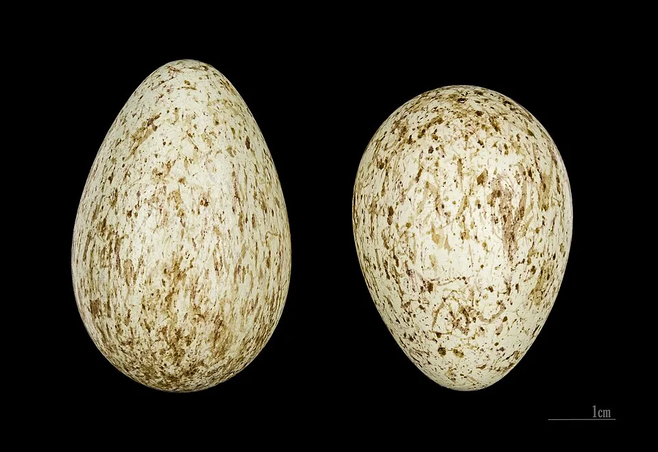

Bird
Hooded Crow
Corvus cornix245 records © Ricardo Tulio Gandelman from Rio de Janeiro, Brazil · CC BY 2.0
Observed species
Occurrences documented via GBIF; they are neither an exhaustive inventory nor proof of current presence.
- Grey Heron · Ardea cinerea · 339
- Common Buzzard · Buteo buteo · 273
- Northern Raven · Corvus corax · 264
- White stork · Ciconia ciconia · 254
- Hooded Crow · Corvus cornix · 245
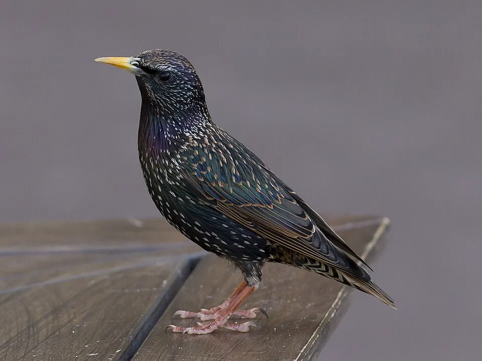
- Common Starling · Sturnus vulgaris · 244
- Eurasian Tree Sparrow · Passer montanus · 235
- Barn Swallow · Hirundo rustica · 225
- Mallard · Anas platyrhynchos · 225
- Mute Swan · Cygnus olor · 221
- Great tit · Parus major · 208
- House Sparrow · Passer domesticus · 205
Records: GBIF.org (CC-BY). Names: Wikidata (CC0), GBIF. Photos: Wikimedia Commons.
Conservation challenges
The primary purpose of the site is to preserve its natural habitats and the biodiversity they support. The species recorded (Biodiversity tab) reflect its ecological value. The designations it holds frame its management and the control of land use.
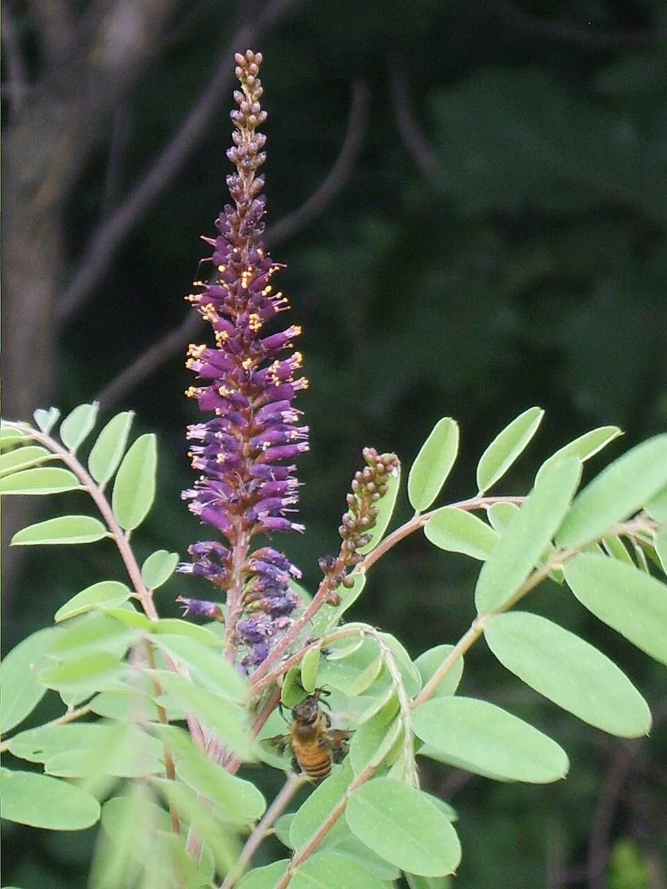
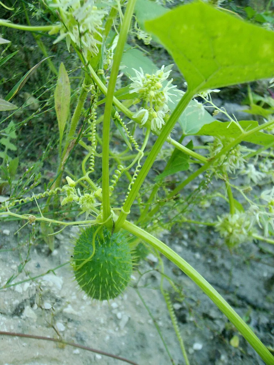
According to Global Forest Change data (University of Maryland, Global Forest Watch), about 2,440 ha of tree cover were lost within the boundary between 2001 and 2023 (5% of its area), peaking in 2012 and 2022. These losses include logging, storms and fires, and do not account for regrowth. According to the European CORINE Land Cover inventory (Copernicus), land cover changed on about 760 ha of the site between 1990 and 2018 (1% of its area): farmland shrank by 387 ha, mostly giving way to forest, while forest grew by 330 ha, mostly at the expense of farmland. Forest felling and regrowth add about 7,830 ha in total over the period. Since 2016, the European EFFIS system (Copernicus) has mapped 2 fires here, burning about 46 ha within the boundary; the largest, in August 2025 (near Sisak), covered 24 ha. At night, the area gives off virtually no artificial light detectable from space (NASA VIIRS Black Marble composite, 2016). According to the Water Framework Directive assessment (2022 river basin management plans, data 2016–2019), only 15% of the 335 km of rivers assessed within the site are in good or high ecological status; the others mostly have bad ecological status. Other assessed water bodies: lakes, 1 of 2 in good ecological status or better. Since 2000, 7 invasive alien species have been recorded within the site (GBIF observations), one of them listed as of Union concern under EU Regulation 1143/2014. Among them: Asclepias syriaca (Common milkweed), Amorpha fruticosa (Desert false indigo) and Echinocystis lobata (Wild cucumber).
Pressure indicators
Tree cover lost
2,437 ha
2001–2023 · 5% of the area
20012023
Fires since 2016
46 ha
burned within the boundary (2 mapped fires)
- 2025 · Sisak · 24 ha
- 2024 · Sisak · 22 ha
Light at night
< 1%
of the area gives off artificial light visible from space
DarkLit
Built-up land
< 1%
buildings, business areas, roads, quarries · farmland 14%
Land cover change
760 ha
changed cover, 1990–2018 · CORINE · 1% of the area
- −387 ha · farmland
- +330 ha · forest
forest felling and regrowth: 7,830 ha in total
Rivers and lakes
15%
of the 335 km of assessed rivers in good or high ecological status · WFD 2022
Lakes: 1 of 2 good or better
assessments 2016–2019
Invasive alien species
7
incl. 1 of EU concern · since 2000
Common milkweedEU
 Desert false indigo
 Wild cucumber
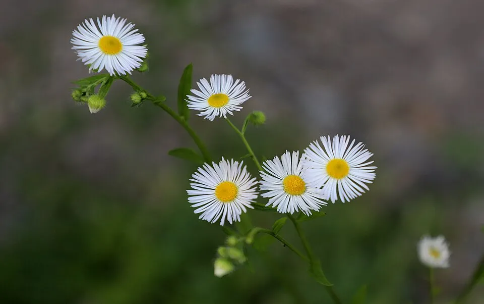 Eastern daisy fleabane
Asian Lady Beetle
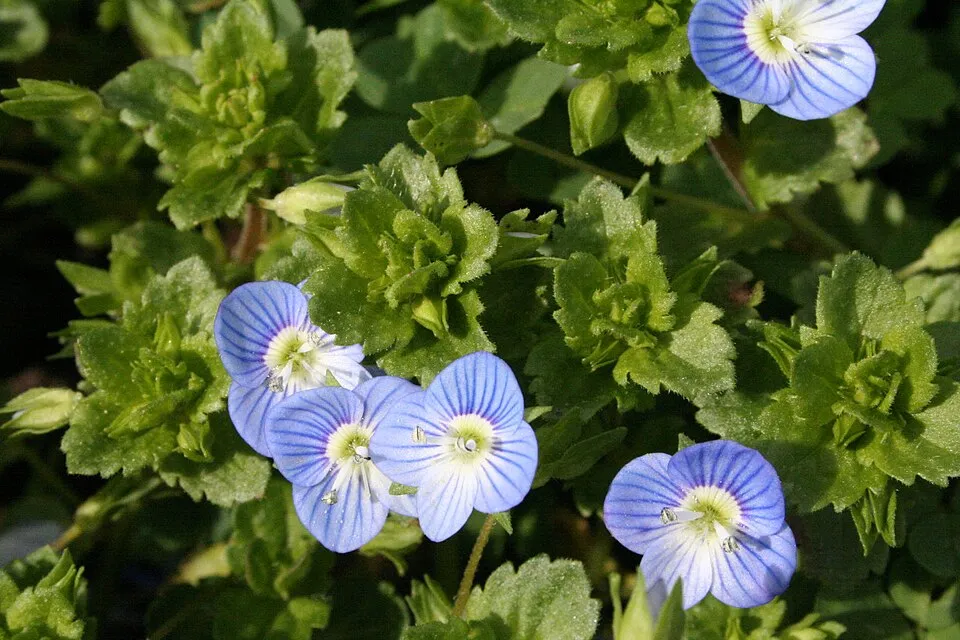 Common field-speedwell
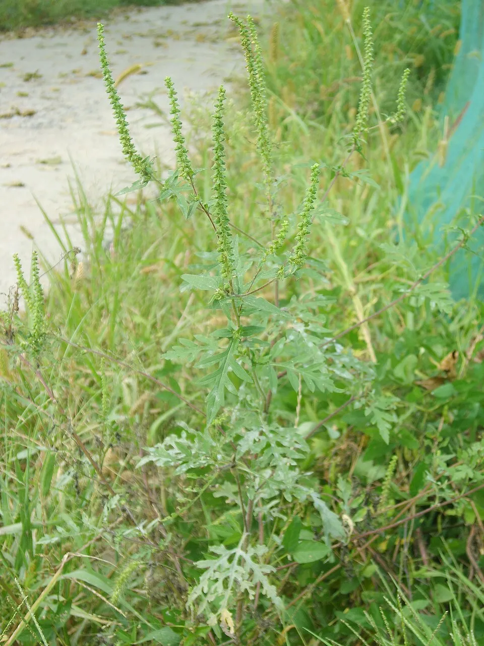 Annual ragweed
Desert false indigo
Wild cucumber
Eastern daisy fleabane
Asian Lady Beetle
Common field-speedwell
Annual ragweed
Photos: Desert false indigo © Dalgial · CC BY-SA 3.0; Wild cucumber © Aung · Public domain; Eastern daisy fleabane © W. Bulach · CC BY-SA 4.0; Common field-speedwell © Strobilomyces · CC BY-SA 3.0; Annual ragweed © Dalgial · CC BY-SA 3.0
Sources: Global Forest Change (Hansen et al., University of Maryland, via Global Forest Watch, CC-BY 4.0); EFFIS, European Commission / Copernicus; NASA Black Marble 2016 (public domain); CORINE Land Cover 2018 (Copernicus) or MODIS.
CORINE Land Cover Change 1990–2018: generated using European Union's Copernicus Land Monitoring Service information (EEA), aggregated by Parkavela; DOI 10.2909/f30f1000-7cf8-43bb-872c-5eb093911b24.
Ecological status of water bodies: European Environment Agency, WISE – Water Framework Directive, 3rd river basin management plans (2022), CC BY 4.0. Official national classification, not comparable between countries.
Invasive alien species: Global Register of Introduced and Invasive Species (ISSG, CC BY 4.0); Union list, Regulation (EU) 1143/2014 (INBO, CC0); GBIF.org records (CC0 / CC BY 4.0), at least 2 per species.
Practical information
Cities and airport
- Prijedor
34 km as the crow flies - Velika Gorica
34 km as the crow flies - Airport: Zagreb (ZAG)
36 km as the crow flies
Visitor information
- Informativni punkt Lonjsko Polje
within the site - TZ Jasenovac
within the site - Prijamni centar Repušnica
< 1 km from the site boundary - Turistička zajednica grada Novske
3 km from the site boundary
By bike
Sava · 42 kmSMŽ 01 Cikloturistička županijska ruta SMŽ 01 · 8 km
+ 3 local loops
Signed cycle routes: this does not mean that cycling is allowed on footpaths.
Data © OpenStreetMap contributors (ODbL) · Wikidata (CC0)
Routes © OpenStreetMap contributors (ODbL), via Waymarked Trails
Access and visiting
The nearest railway station is Banova Jaruga, about 4 km from the site boundary. Nearest towns of over 50,000 people, as the crow flies: Prijedor (34 km) and Velika Gorica (34 km). Nearest airport: Zagreb (ZAG), about 36 km away. About 260,000 people live within 20 km of the site boundary, 140,000 of them within 10 km; some 3,500 people are estimated to live inside (GHSL estimate, 2020). This population has fallen by about 21% since 2000. Visitor information on site: Informativni punkt Lonjsko Polje, TZ Jasenovac and Prijamni centar Repušnica. The site is crossed by 2 signed cycle routes: “Sava” and “SMŽ 01 Cikloturistička županijska ruta SMŽ 01” (OpenStreetMap). To see: Mala Toka (lake or pond). To plan a visit (access, opening periods, visitor rules), it is best to consult the official information from the managing body and the official website listed in this page's sources.
Source: OpenStreetMap (ODbL), Wikidata (CC0), October 2026.
When to visit
Best time to visit: from April to October, with average temperatures of 12 to 24 °C and moderate rainfall. Day length ranges from about 8 h 44 min in December to 15 h 38 min in June. Wildlife records published on GBIF peak for birds (May), plants (May) and butterflies and moths (June). These peaks also reflect when observers are most active.
Source: Copernicus ERA5-Land (C3S), monthly averages 1996–2025 at the representative point, temperatures adjusted for elevation.
Contains modified Copernicus Climate Change Service information 2026. Neither the European Commission nor ECMWF is responsible for any use that may be made of the Copernicus information or data it contains.
Wildlife records calendar
JFMAMJJASOND
Birds
Plants
Butterflies & moths
Monthly records published on GBIF (CC-BY), relative to the busiest month; also reflects observer activity.
Gallery
© Pigpanter · CC BY-SA 3.0
© Zok62 · CC BY-SA 4.0
© Fraxinus · CC BY-SA 4.0
© FrAnneser · CC BY-SA 4.0
© Zok62 · CC BY-SA 4.0
© FrAnneser · CC BY-SA 4.0
Sources and licences
- Wikidata: Q1933800
- Wikipedia: en.wikipedia.org/wiki/Lonjsko_Polje
- Natura 2000: HR2000416
- WDPA: 63666
References
- cds.climate.copernicus.eu: climate · CC-BY-4.0
- registry.opendata.aws: elevation of the reference point, detailed relief · PD
- land.copernicus.eu: land cover, land cover change, sea share · COPERNICUS
- doi.org: population around the site · CC-BY-4.0
- wikidata.org: official area, highest point, establishment date, nearby cities and airport, access and peaks, lake depths, places to see · CC0-1.0
- eea.europa.eu: bathing water quality, ecological status of waters · CC-BY-4.0
- en.eurovelo.com: EuroVelo cycle routes · ODbL-1.0
- cycling.waymarkedtrails.org: cycle routes · ODbL-1.0
- opentopodata.org: elevations · PD
- forest-fire.emergency.copernicus.eu: wildfires · COPERNICUS
- globalforestwatch.org: tree cover loss · CC-BY-4.0
- gbif.org: seasonality of sightings, invasive alien species, observed species · CC-BY-4.0
- hydrosheds.org: lakes · CC-BY-4.0
- natura2000.eea.europa.eu: Natura 2000 habitats and species · CC-BY-4.0
- openstreetmap.org: official name, access and peaks, trail difficulty, wheelchair access · ODbL-1.0
- earthobservatory.nasa.gov: night light · PD
- nsidc.org: snow cover · PD
- wikidata.org: Wikipedia article · CC-BY-SA-4.0
Data © OpenStreetMap contributors (ODbL), Wikidata (CC0) and the sources cited.