France · Marine
Mayotte Marine Natural Park
Marine protected area of 6,831,310 hectares in France, established in 2010.
Overview
Marine protected area of 6,831,310 hectares in France, established in 2010.
Mayotte Marine Natural Park is a marine protected area in France (overseas). It is a predominantly marine area. Established on 18 January 2010, it covers about 6,831,310 hectares.
Protections and designations
Ramsar site
Designated as a marine protected area. International labels and designations: Ramsar site (“la vasière des Badamiers”). Key dates: established in 2010 and Ramsar Site in 2011.
In our collections
Timeline
-
2010
Established
-
2011
Ramsar Site (wetland of international importance) la vasière des Badamiers
Sources: Wikidata (CC0) for establishment and international labels; EEA Natura 2000 database (CC-BY 4.0) for site designation dates.
Frequently asked questions
Where is Mayotte Marine Natural Park?
In France (overseas). Representative point: 12.8356° S, 45.1404° E.
How large is Mayotte Marine Natural Park?
About 6,831,310 hectares (68,313 km²). It is the largest of the 8 marine protected areas in France covered by Parkavela.
When was Mayotte Marine Natural Park established?
On 18 January 2010.
What habitats and landscapes does Mayotte Marine Natural Park include?
A marine area, with coral reefs.
Which international labels apply to Mayotte Marine Natural Park?
Ramsar site (“la vasière des Badamiers”).
When is the best time to visit Mayotte Marine Natural Park?
Best time to visit: the dry season, from June to September, with less than 20 mm of rain per month.
What is there to see in Mayotte Marine Natural Park?
10 viewpoints and 1 cave, including Grotte de Mtsoumbatsou (OpenStreetMap).
Are there historic monuments in Mayotte Marine Natural Park?
Yes. According to the French Ministry of Culture's Mérimée database, 5 historic monuments stand within the boundary, all at the second level of protection (inscrit). For example: “Caserne de Petite Terre” in Dzaoudzi, “Ancien hôpital de Dzaoudzi” in Dzaoudzi and “Ancienne Gendarmerie” in Dzaoudzi.
Can you swim in Mayotte Marine Natural Park?
21 monitored bathing sites lie in or within 1 km of the site; official 2025 classification: 6 excellent, 13 good and 2 sufficient (European Environment Agency). Swimming is only permitted at the sites and times authorised locally.
What is the nearest large city to Mayotte Marine Natural Park?
Nearest towns of over 50,000 people, as the crow flies: Mamoudzou (0.2 km). Nearest airport: Dzaoudzi Pamandzi (DZA), less than 1 km away.
Where can I get visitor information on site?
Comité du Tourisme de Mamoudzou and Comité du Tourisme.
Which species can be seen in Mayotte Marine Natural Park?
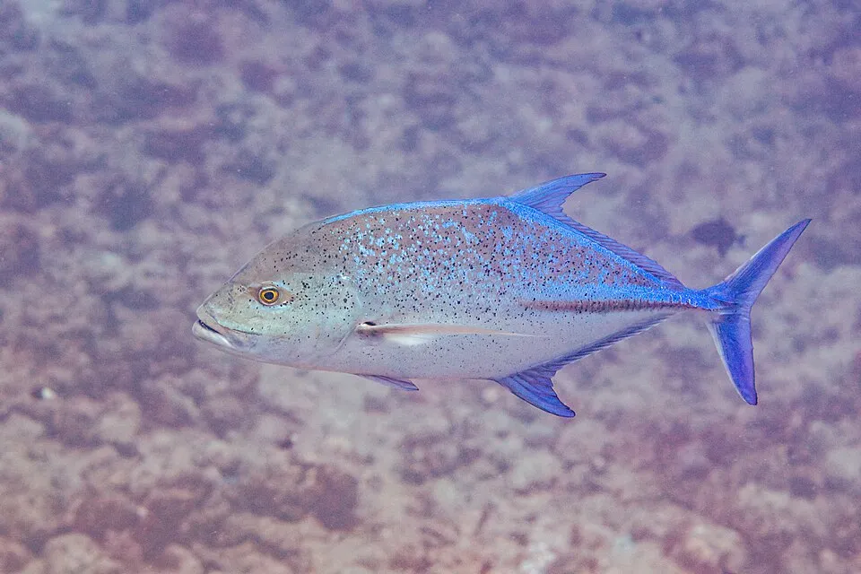
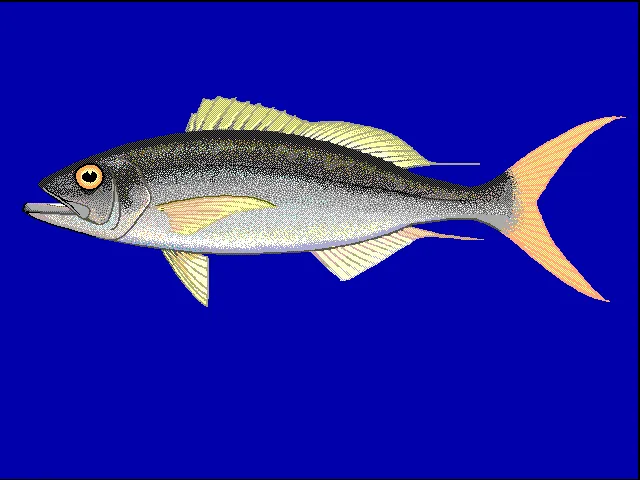
Among the species most often recorded on GBIF are Caranx melampygus (Bluefin trevally), Variola louti (Yellow-edged lyretail), Aethaloperca rogaa (Redmouth grouper) and Aphareus rutilans (Rusty Jobfish).
What is the official website of Mayotte Marine Natural Park?
© OpenStreetMap
Download the boundary: GeoJSON · GPX Boundary © OpenStreetMap contributors (ODbL).
Geography
The representative point of the site lies at around 115 m above sea level. Over the 1996–2025 period, the mean annual temperature is about 25.7 °C and total precipitation reaches roughly 940 mm per year. The warmest month is usually April, the coolest August, and the wettest January.
Area
- Area
- 6,831,310 ha
- Elevation
- 115 m
- Coordinates
- -12.8356, 45.1404
Climate
● Mean temperature (°C) · ▮ Precipitation (mm)
Source: Copernicus ERA5-Land (C3S, doi:10.24381/cds.68d2bb30), monthly averages 1996–2025 interpolated to the representative point, temperatures adjusted for elevation.
Contains modified Copernicus Climate Change Service information 2026. Neither the European Commission nor ECMWF is responsible for any use that may be made of the Copernicus information or data it contains.
Natural habitats
The site is almost entirely marine. The seabed reaches about 3,576 m deep (median depth 3,473 m; GEBCO bathymetry). Reef-building corals are documented in the area: 4,907 records published on GBIF.
Biodiversity
Based on occurrences aggregated by GBIF, several species are regularly recorded within the site. Among the most frequent are Caranx melampygus (Bluefin trevally), Variola louti (Yellow-edged lyretail), Aethaloperca rogaa (Redmouth grouper) and Aphareus rutilans (Rusty Jobfish). The full list of documented taxa is shown below.
Species to look out for

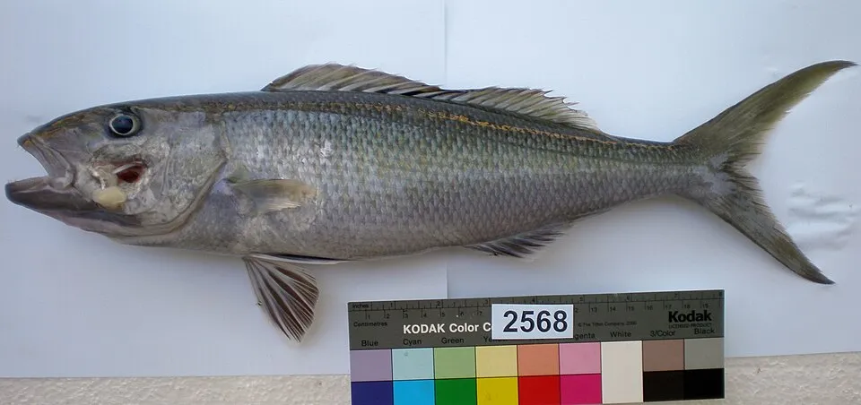
Fish
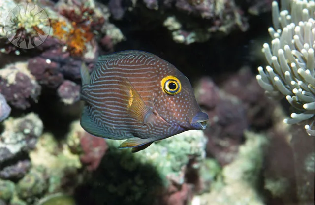
Striped Bristletooth
Ctenochaetus striatus836 records © Carl Malamud Photo by: Carl C. Hansen Neg #10757 · CC BY 2.0
Observed species
Occurrences documented via GBIF; they are neither an exhaustive inventory nor proof of current presence.
- Aprion virescens · 2936
- Bluefin trevally · Caranx melampygus · 1863
- Yellow-edged lyretail · Variola louti · 1534
- Redmouth grouper · Aethaloperca rogaa · 1202
- Rusty Jobfish · Aphareus rutilans · 1115
- Etelis bowen · Etelis boweni · 875
- Striped Bristletooth · Ctenochaetus striatus · 836
- Humpnose Big-eye Bream · Monotaxis grandoculis · 771
- Brushtail Tang · Zebrasoma scopas · 709
- Bullethead Parrotfish · Chlorurus sordidus · 703
- Brown lemur · Eulemur fulvus · 674
- Humpback whale · Megaptera novaeangliae · 654
+18 more species
- Tricolour Parrotfish · Scarus tricolor · 594
- Long-barbel Goatfish · Parupeneus macronemus · 537
- Blue-Spotted Grouper · Cephalopholis argus · 534
- Squaretail Bristletooth · Ctenochaetus truncatus · 483
- Brown surgeonfish · Acanthurus nigrofuscus · 466
- Darkfin Hind · Cephalopholis nigripinnis · 459
- Elegant Unicornfish · Naso elegans · 455
- Thompson's Surgeonfish · Acanthurus thompsoni · 449
- Common myna · Acridotheres tristis · 445
- Indian Ocean Steephead Parrotfish · Chlorurus strongylocephalus · 434
- Malagasy Paradise Flycatcher · Terpsiphone mutata · 389
- Pied Crow · Corvus albus · 373
- Spinner dolphin · Stenella longirostris · 364
- Seychelles Free-tailed Bat · Chaerephon pusillus · 355
- Rough Triggerfish · Canthidermis maculata · 340
- Mayotte Sunbird · Cinnyris coquerellii · 339
- Two-spot red snapper · Lutjanus bohar · 322
- Doubleband Surgeonfish · Acanthurus tennentii · 306
Records: GBIF.org (CC-BY). Names: Wikidata (CC0), GBIF. Photos: Wikimedia Commons.
Conservation challenges
The primary purpose of the site is to preserve its natural habitats and the biodiversity they support. The species recorded (Biodiversity tab) reflect its ecological value. The designations it holds frame its management and the control of land use.
According to the Water Framework Directive assessment (2022 river basin management plans, data 2012–2017), water bodies assessed within the site: coastal waters, 5 of 17 in good ecological status or better. Since 2000, 31 invasive alien species have been recorded within the site (GBIF observations). Among them: Acridotheres tristis (Common myna), Litsea glutinosa (Indian laurel) and Lantana camara (Lantana).
Pressure indicators
Built-up land
< 1%
buildings, business areas, roads, quarries
Rivers and lakes
Coastal waters: 5 of 17 good or better
assessments 2012–2017
Invasive alien species
31
recorded since 2000
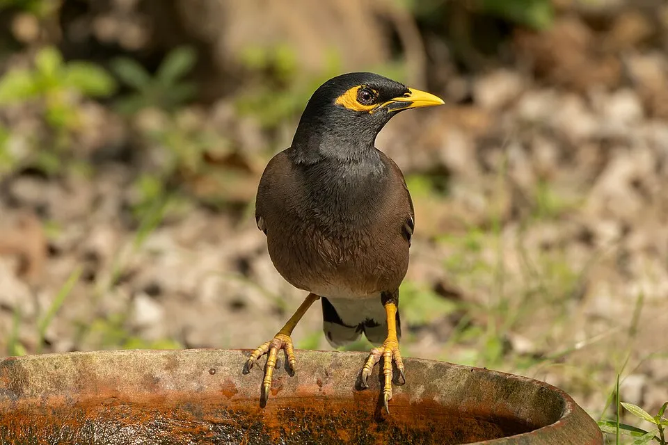 Common myna
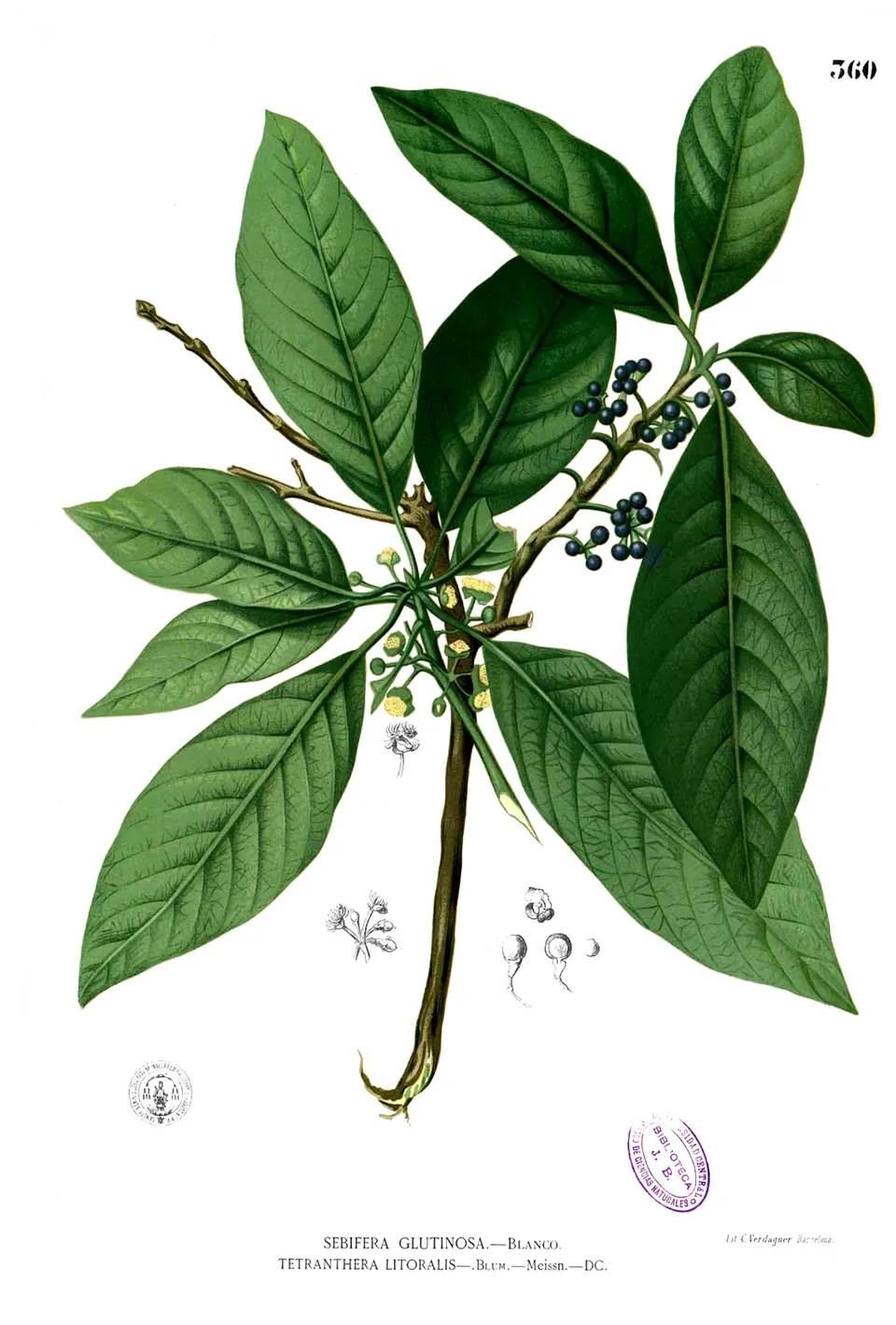 Indian laurel
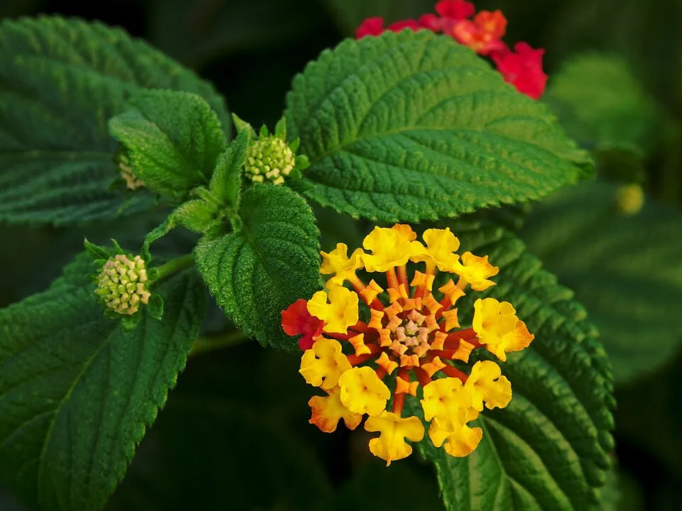 Lantana
 Woman's tongue
 African tuliptree
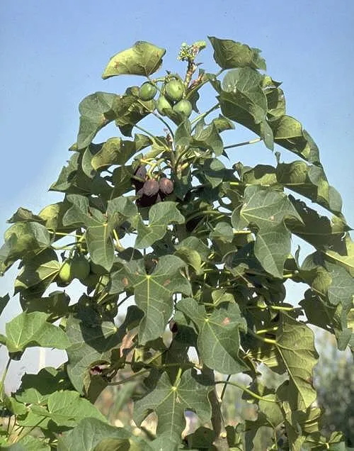 Barbados nut
 Guava
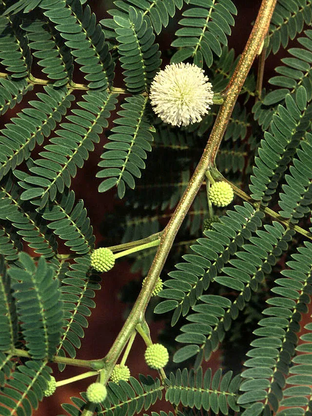 White leadtree
Photos: Common myna © Tisha Mukherjee · CC BY-SA 4.0; Indian laurel © Francisco Manuel Blanco (O.S.A.) · Public domain; Lantana © Alvesgaspar · CC BY-SA 3.0; Woman's tongue © Forest & Kim Starr · CC BY 3.0; African tuliptree © Steven Haw · CC BY 2.0; Barbados nut © Ies · CC BY-SA 2.5; Guava © A-giâu · CC BY-SA 3.0; White leadtree © Ek Balam · Public domain
Sources: Global Forest Change (Hansen et al., University of Maryland, via Global Forest Watch, CC-BY 4.0); EFFIS, European Commission / Copernicus; NASA Black Marble 2016 (public domain); CORINE Land Cover 2018 (Copernicus) or MODIS.
Ecological status of water bodies: European Environment Agency, WISE – Water Framework Directive, 3rd river basin management plans (2022), CC BY 4.0. Official national classification, not comparable between countries.
Invasive alien species: Global Register of Introduced and Invasive Species (ISSG, CC BY 4.0); Union list, Regulation (EU) 1143/2014 (INBO, CC0); GBIF.org records (CC0 / CC BY 4.0), at least 2 per species.
Practical information
Cities and airport
- Mamoudzou
< 1 km as the crow flies - Airport: Dzaoudzi Pamandzi (DZA)
< 1 km as the crow flies
Visitor information
- Comité du Tourisme de Mamoudzou
within the site - Comité du Tourisme
< 1 km from the site boundary
Data © OpenStreetMap contributors (ODbL) · Wikidata (CC0)
Bathing
21 monitored bathing sites in or within 1 km of the site · 2025 classification
Excellent · 6
Good · 13
Sufficient · 2
- Bambo Ouest · sea · Excellent
- Bandrakouni · sea · Excellent
- Le Fare · sea · Excellent
- Moya · sea · Excellent
- N'Gouja · sea · Excellent
- Tanaraki · sea · Excellent
- Badamier · sea · Good
- Dzona · sea · Good
- Gite Hagnoundrou · sea · Good
- Iloni · sea · Good
and 11 more
Source: European Environment Agency, official bathing water classification (Directive 2006/7/EC, CC-BY 4.0). Swimming is only permitted at the sites and times authorised locally.
Access and visiting
Nearest towns of over 50,000 people, as the crow flies: Mamoudzou (0.2 km). Nearest airport: Dzaoudzi Pamandzi (DZA), less than 1 km away. About 280,000 people live within 20 km of the site boundary (GHSL estimate, 2020). This population has grown by about 94% since 2000. Visitor information on site: Comité du Tourisme de Mamoudzou and Comité du Tourisme. To see: 10 viewpoints and 1 cave, including Grotte de Mtsoumbatsou. To plan a visit (access, opening periods, visitor rules), it is best to consult the official information from the managing body and the official website listed in this page's sources.
Source: OpenStreetMap (ODbL), Wikidata (CC0), October 2026.
Built heritage
According to the French Ministry of Culture's Mérimée database, 5 historic monuments stand within the boundary, all at the second level of protection (inscrit). Among them are 3 houses and civic buildings and 1 castle or fortification. Examples include “Caserne de Petite Terre” in Dzaoudzi, “Ancien hôpital de Dzaoudzi” in Dzaoudzi and “Ancienne Gendarmerie” in Dzaoudzi.
3 houses and civic buildings1 castle or fortification
-
Caserne de Petite Terre
Dzaoudzi · 19th c. -
Ancien hôpital de Dzaoudzi
Dzaoudzi -
Ancienne Gendarmerie
Dzaoudzi · 20th c. -
Ancienne résidence des Gouverneurs
Dzaoudzi · 19th c. -
Maison dite « du médecin »
Dzaoudzi
Source: Mérimée database, French Ministry of Culture (Licence Ouverte 2.0). Each record links to the Plateforme ouverte du patrimoine (POP).
When to visit
Best time to visit: the dry season, from June to September, with less than 20 mm of rain per month. Precipitation peaks from December to March (up to 240 mm per month). Day length ranges from about 11 h 22 min in June to 12 h 53 min in December. Wildlife records published on GBIF peak for birds (October and November), plants (November), butterflies and moths (September), dragonflies (September) and mammals (November). These peaks also reflect when observers are most active.
Source: Copernicus ERA5-Land (C3S), monthly averages 1996–2025 at the representative point, temperatures adjusted for elevation.
Contains modified Copernicus Climate Change Service information 2026. Neither the European Commission nor ECMWF is responsible for any use that may be made of the Copernicus information or data it contains.
Wildlife records calendar
JFMAMJJASOND
Birds
Plants
Butterflies & moths
Dragonflies
Mammals
Monthly records published on GBIF (CC-BY), relative to the busiest month; also reflects observer activity.
Gallery
© Richzena · CC BY-SA 3.0
© FredD · CC BY-SA 4.0
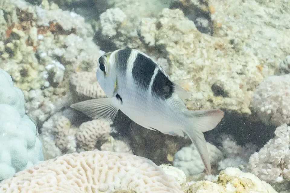
© Frédéric Ducarme Valued image This image has been assessed under the valued image criteria and is considered the most valued image on Commons within the scope: Amphiprion latifasciatus breeding.. You can see its nomination here. · CC BY-SA 4.0
© Frédéric Ducarme · CC BY-SA 4.0
© Kelly064 · CC BY-SA 4.0
© Kelly064 · CC BY-SA 4.0
Sources and licences
- Wikidata: Q3364606
- OpenStreetMap: relation 549575
- Official website: https://www.parc-marin-mayotte.fr/
- Wikipedia: en.wikipedia.org/wiki/Mayotte_Marine_Natural_Park
- WDPA: 555514309
References
- cds.climate.copernicus.eu: climate · CC-BY-4.0
- registry.opendata.aws: elevation of the reference point · PD
- land.copernicus.eu: land cover · COPERNICUS
- doi.org: population around the site · CC-BY-4.0
- naturalearthdata.com: sea share · PD
- wikidata.org: official area, establishment date, nearby cities and airport, access and peaks, places to see, official website · CC0-1.0
- eea.europa.eu: bathing water quality, ecological status of waters · CC-BY-4.0
- gbif.org: coral records, seasonality of sightings, invasive alien species, observed species · CC-BY-4.0
- gebco.net: depths · PD
- opentopodata.org: elevations · PD
- pop.culture.gouv.fr: protected heritage · LO-2.0
- openstreetmap.org: official name, access and peaks, places to see · ODbL-1.0
- wikidata.org: Wikipedia article · CC-BY-SA-4.0
Data © OpenStreetMap contributors (ODbL), Wikidata (CC0) and the sources cited.