Italy · Terrestrial
Monte Subasio Regional Park
Regional nature park of 7,177 hectares in Italy, established in 1995.
Overview
Regional nature park of 7,177 hectares in Italy, established in 1995.
Monte Subasio Regional Park is a regional nature park in Italy (Europe). It is a predominantly terrestrial area. Established in 1995, it covers about 7,177 hectares.
Protections and designations
Natura 2000 · habitats (SAC) · 4 sites
- Colli Selvalonga - Il Monte (Assisi) IT5210023
- Fiume Tescio (parte alta) IT5210022
- Fosso dell'Eremo delle Carceri (Monte Subasio) IT5210030
- Monte Subasio (sommità) IT5210027
Protected as a regional nature park. International labels and designations: Natura 2000 network (4 sites). Key dates: established in 1995 and first Natura 2000 site under the Habitats Directive in 2014.
In our collections
Timeline
-
1995
Established
-
2014
First Natura 2000 site under the Habitats Directive 4 such sites designated up to 2014
Sources: Wikidata (CC0) for establishment and international labels; EEA Natura 2000 database (CC-BY 4.0) for site designation dates.
Frequently asked questions
Where is Monte Subasio Regional Park?
In Italy (Europe). Representative point: 43.0797° N, 12.6840° E.
How large is Monte Subasio Regional Park?
About 7,177 hectares (72 km²). It is the 60th largest of the 128 regional parks in Italy covered by Parkavela.
When was Monte Subasio Regional Park established?
In 1995.
What habitats and landscapes does Monte Subasio Regional Park include?
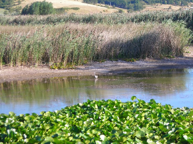
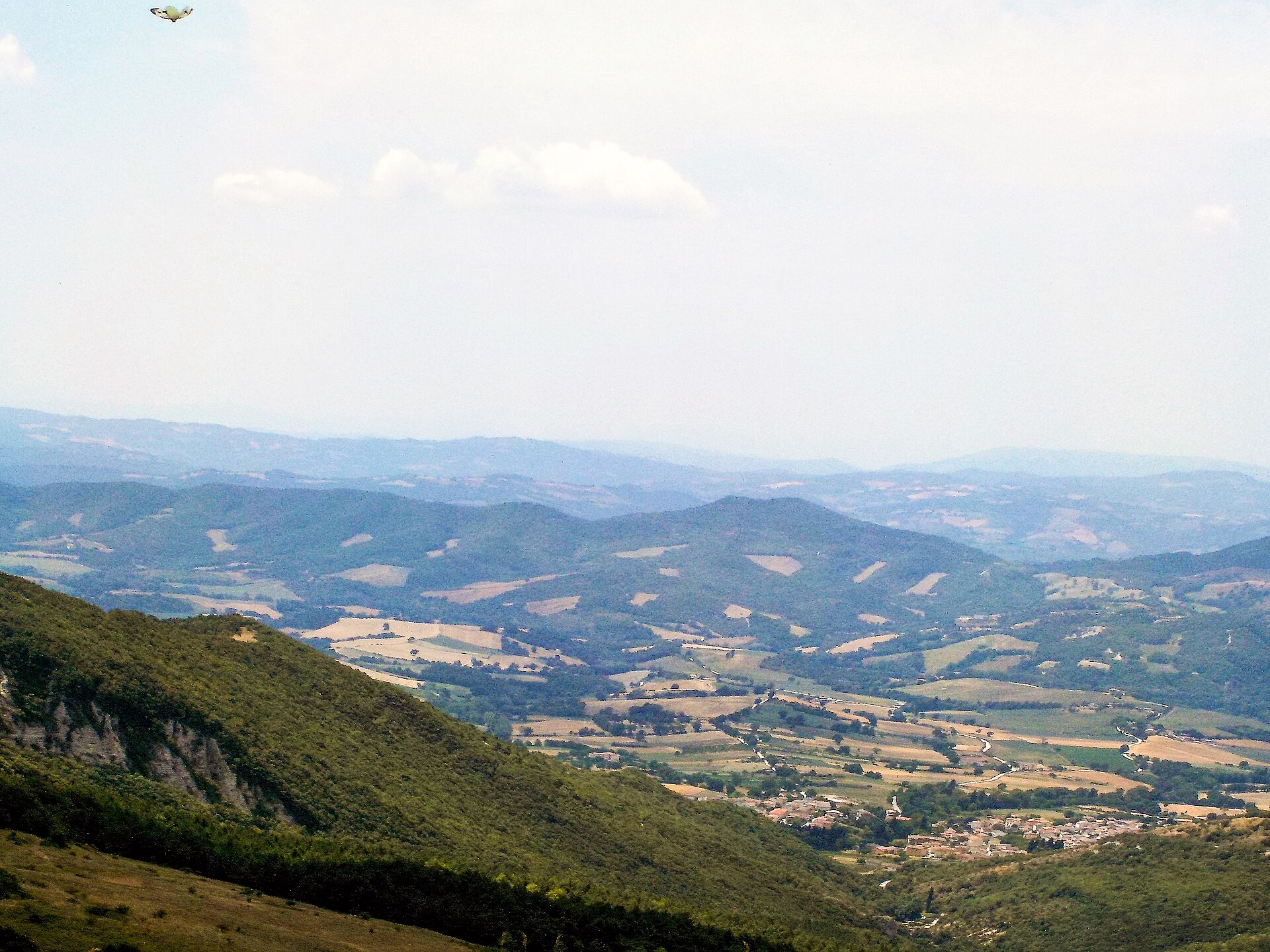
A terrestrial area, with forests and mountains.
What rocks lie beneath Monte Subasio Regional Park?
According to the European 1:1 million geological map (EGDI), the bedrock consists mainly of marly limestones (56% of sampled points) and limestones (44%). These are mostly sedimentary rocks. The geological units date mainly from the Neogene (56% of sampled points).
What is the highest point of Monte Subasio Regional Park?
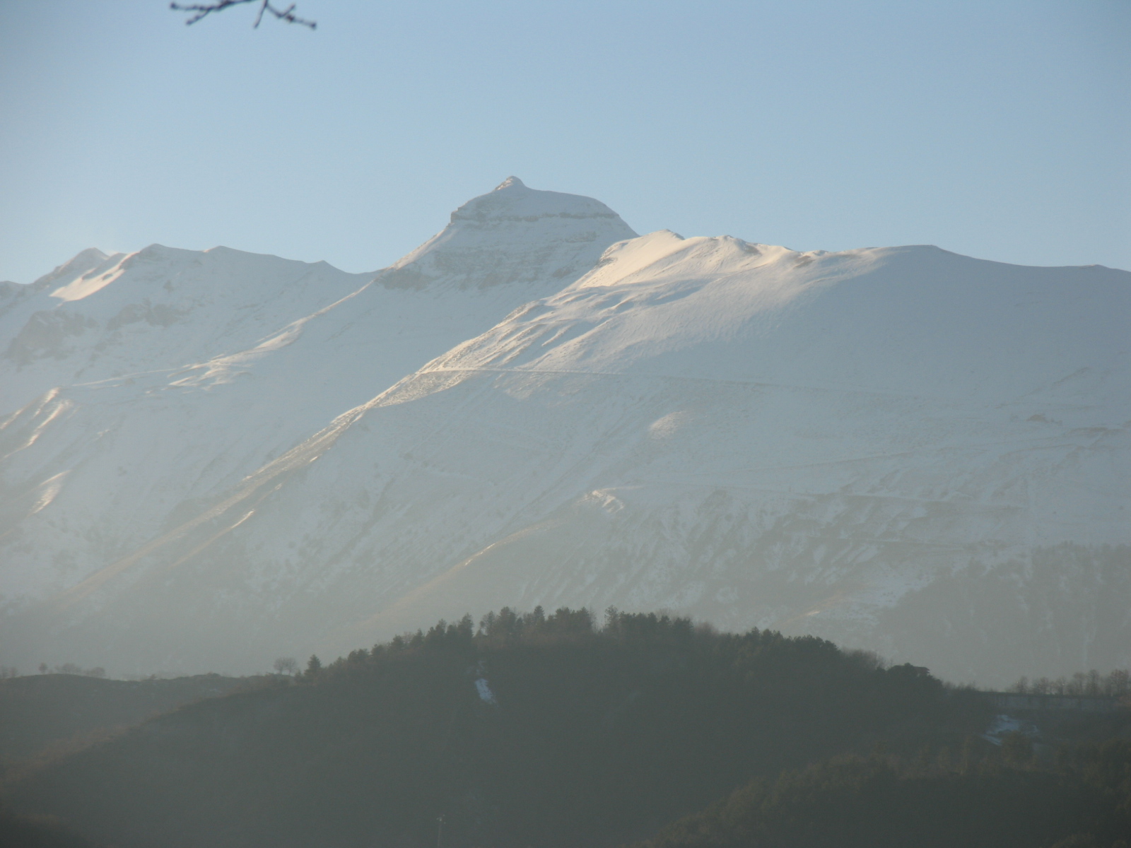
Monte Subasio, at 1,290 m (OpenStreetMap).
What are the main summits of Monte Subasio Regional Park?
Monte Subasio (1,290 m), Monte Civitelle (1,270 m), La Sermolla (1,191 m), Sassopiano (1,124 m) and Colle San Rufino (1,110 m) (OpenStreetMap).
Which international labels apply to Monte Subasio Regional Park?
Natura 2000 network (4 sites).
When is the best time to visit Monte Subasio Regional Park?
Best time to visit: from May to October, with average temperatures of 12 to 23 °C and moderate rainfall.
What is there to see in Monte Subasio Regional Park?
12 viewpoints, 1 waterfall, 1 lake or pond and 18 caves, including Cascata della Sposa, Lago della Spella, Buca del Macchione (1,085 m) and Grotta del Subasio (1,050 m) (OpenStreetMap).
Where can I stay in Monte Subasio Regional Park?
8 mountain huts and 1 campsite, including Rifugio Vallonica (1,060 m), Fontemaggio and Rifugio Stazzi (1,045 m) (OpenStreetMap).
Are there historic monuments in Monte Subasio Regional Park?
Yes. According to Wikidata, 36 monuments protected as Italian national cultural heritage stand within the boundary. For example: “Abbey of Saint Peter” in Assisi, “Castello di Collepino” in Spello and “Museo Civico e Foro Romano” in Assisi.
What is the nearest large city to Monte Subasio Regional Park?
Nearest towns of over 50,000 people, as the crow flies: Foligno (7 km) and Perugia (18 km). Nearest airport: Perugia San Francesco d'Assisi (PEG), about 8 km away.
How can I reach Monte Subasio Regional Park by train?
The nearest railway station is Assisi, about 1 km from the site boundary.
Where can I get visitor information on site?
IAT de Assisi and Statio Peregrinorum.
Are there waymarked hiking trails in Monte Subasio Regional Park?
Yes. Waymarked hiking routes listed in OpenStreetMap: 34, including Cammino d'Assisi, San Miniato, Cammino di Assisi, Cammino Francescano della Marca and Sentiero degli Ulivi. The “S.U. · Sentiero degli Ulivi - Tappa 5” route runs for about 11 km through the site, with some 720 m of ascent on its longest section.
Which species can be seen in Monte Subasio Regional Park?
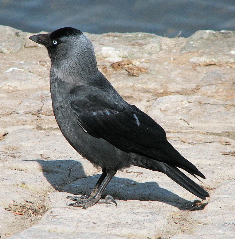
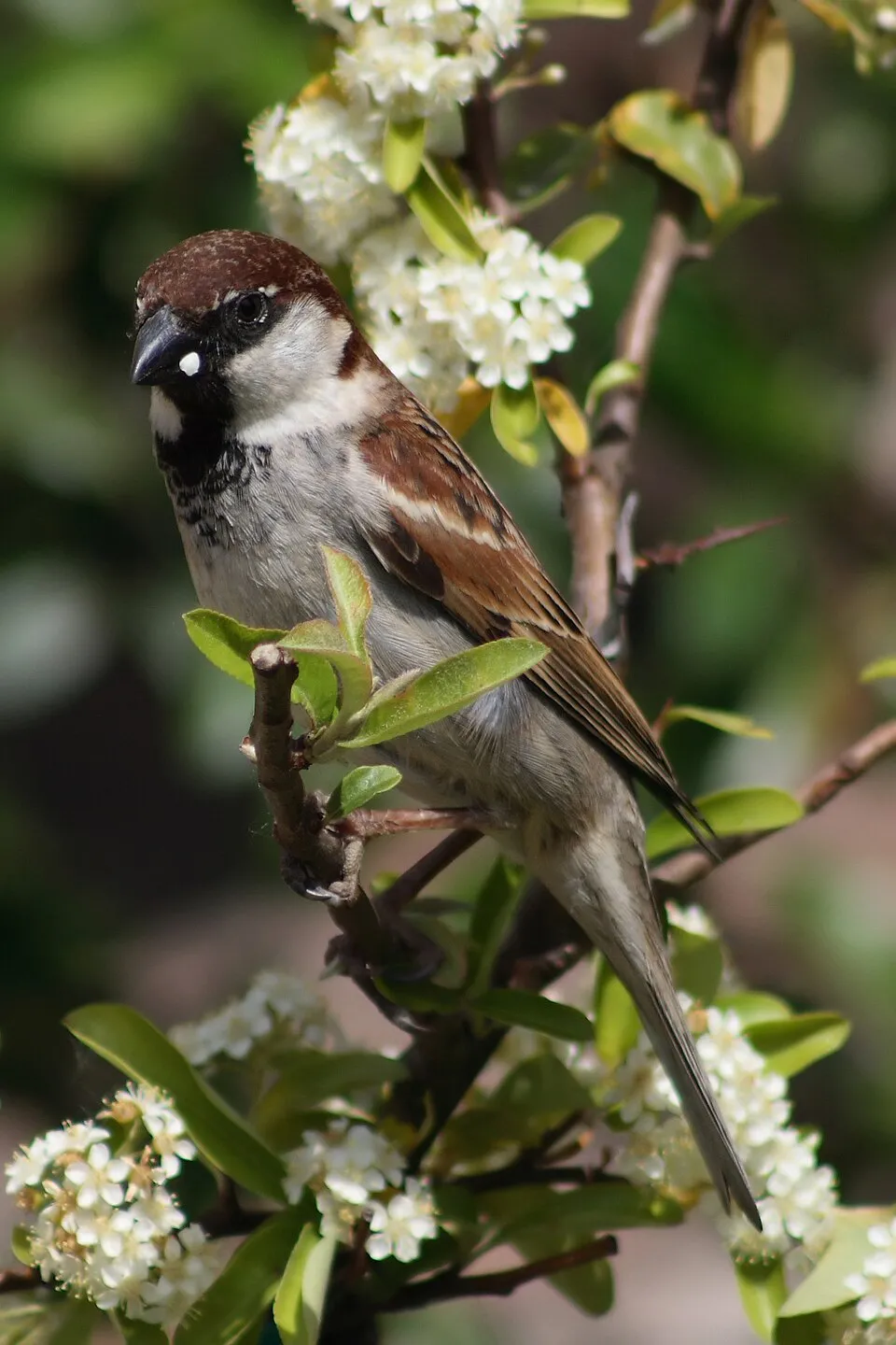
Among the species most often recorded on GBIF are Coloeus monedula (Western Jackdaw), Turdus merula (Common Blackbird), Corvus cornix (Hooded Crow) and Passer italiae (Italian Sparrow).
© OpenStreetMap
Download the boundary: GeoJSON · GPX Boundary © OpenStreetMap contributors (ODbL).
Geography
The representative point of the site lies at around 652 m above sea level. Over the 1996–2025 period, the mean annual temperature is about 11.8 °C and total precipitation reaches roughly 808 mm per year. The warmest month is usually July, the coolest January, and the wettest November. According to the European 1:1 million geological map (EGDI), the bedrock consists mainly of marly limestones (56% of sampled points) and limestones (44%). These are mostly sedimentary rocks. The geological units date mainly from the Neogene (56% of sampled points).
Area
- Area
- 7,177 ha
- Elevation
- 652 m
- Median elevation
- 682 m
- Mean slope
- 17°
- Coordinates
- 43.0797, 12.684
Terrain: Mapzen Terrain Tiles (SRTM, USGS)
Elevation bands
- below 500 m 20%
- 500–1,000 m 64%
- 1,000–1,500 m 16%
share of the site in each elevation band (smoothed terrain model: summits are rounded off) · Terrain: Mapzen Terrain Tiles (SRTM, USGS)
Bedrock
- Marly limestones 56 %
- Limestones 44 %
Sedimentary rocks 100 % · Main age: Neogene (56%)
Source: EGDI 1:1M geological map (EuroGeoSurveys and national geological surveys), CC BY 4.0 · 16 sampled points within the site.
Main summits
- Monte Subasio1,290 m
- Monte Civitelle1,270 m
- La Sermolla1,191 m
- Sassopiano1,124 m
- Colle San Rufino1,110 m
- Monte dei Cani871 m
- Montarone784 m
- Colle Garofano710 m
- Monte Banditella678 m
- Col Cacione591 m
Data © OpenStreetMap contributors (ODbL)
Climate
● Mean temperature (°C) · ▮ Precipitation (mm)
Source: Copernicus ERA5-Land (C3S, doi:10.24381/cds.68d2bb30), monthly averages 1996–2025 interpolated to the representative point, temperatures adjusted for elevation.
Contains modified Copernicus Climate Change Service information 2026. Neither the European Commission nor ECMWF is responsible for any use that may be made of the Copernicus information or data it contains.
Natural habitats
According to CORINE Land Cover (2018), the site is mainly made up of forests (49%), farmland (33%) and sparsely vegetated land (11%). Woodland is mostly broadleaved. Elevation ranges from about 290 m to 1,290 m (highest point: Monte Subasio). Median elevation is 682 m, and 16% of the site lies above 1,000 m (SRTM elevation model). The terrain is steep: 54% of slopes exceed 15° (mean slope 17°). The 4 Natura 2000 sites overlapping the area list 15 habitats of European interest (5 priority), the most extensive being semi-natural dry grasslands and scrubland facies on calcareous substrates (Festuco-Brometalia) (* important orchid sites), Pannonian-Balkanic turkey oak-sessile oak forests and Juniperus communis formations on heaths or calcareous grasslands.
Biodiversity
Based on occurrences aggregated by GBIF, several species are regularly recorded within the site. Among the most frequent are Coloeus monedula (Western Jackdaw), Turdus merula (Common Blackbird), Corvus cornix (Hooded Crow) and Passer italiae (Italian Sparrow). The full list of documented taxa is shown below. The overlapping Natura 2000 sites list 26 species of European interest: 4 mammals, 5 reptiles, 3 amphibians, 3 fish, 9 invertebrates and 2 plants.
Habitats of European interest
From the official forms of the 4 Natura 2000 sites overlapping the area (areas reported for each whole site).
- Semi-natural dry grasslands and scrubland facies on calcareous substrates (Festuco-Brometalia) (* important orchid sites) 794 ha
- Pannonian-Balkanic turkey oak-sessile oak forests 292 ha
- Juniperus communis formations on heaths or calcareous grasslands 145 ha
- Eastern white oak woods priority 73 ha
- Pseudo-steppe with grasses and annuals of the Thero-Brachypodietea priority 55 ha
- Quercus ilex and Quercus rotundifolia forests 53 ha
- Apeninne beech forests with Taxus and Ilex priority 37 ha
- Salix alba and Populus alba galleries 22 ha
and 7 more
Species of European interest
Mammals · 4
Grey wolf (Canis lupus), European wildcat (Felis silvestris), Crested porcupine (Hystrix cristata), Western Polecat (Mustela putorius)
Reptiles · 5
Western Whip Snake (Hierophis viridiflavus), Western green lizard (Lacerta bilineata), Common wall lizard (Podarcis muralis), Italian wall lizard (Podarcis siculus), Aesculapian Snake (Zamenis longissimus)
Amphibians · 3
Agile frog (Rana dalmatina), Italian stream frog (Rana italica), Italian crested newt (Triturus carnifex)
Fish · 3
Arno goby (Padogobius nigricans), Sicilian Trout (Salmo cetti), Italian Riffle Dace (Telestes muticellus)
Invertebrates · 9
White-clawed Crayfish (Austropotamobius pallipes), Greater Capricorn Beetle (Cerambyx cerdo), Erannis ankeraria, Eastern Eggar (Eriogaster catax), Marsh fritillary (Euphydryas aurinia), Jersey Tiger (Euplagia quadripunctaria), Stag beetle (Lucanus cervus), Italian Marbled White (Melanargia arge), Italian Festoon (Zerynthia cassandra)
Plants · 2
Adriatic lizard orchid (Himantoglossum adriaticum), Iris marsica
Source: Natura 2000 standard data forms (EEA, CC-BY 4.0). Not exhaustive: sensitive species are not published.
Species to look out for



Bird
Hooded Crow
Corvus cornix159 records © Ricardo Tulio Gandelman from Rio de Janeiro, Brazil · CC BY 2.0

Observed species
Occurrences documented via GBIF; they are neither an exhaustive inventory nor proof of current presence.
- Western Jackdaw · Coloeus monedula · 212
- Rock Dove · Columba livia · 180
- Common Blackbird · Turdus merula · 177
- Hooded Crow · Corvus cornix · 159
- Italian Sparrow · Passer italiae · 141
- European Serin · Serinus serinus · 137
- Eurasian Collared Dove · Streptopelia decaocto · 126
- Common Starling · Sturnus vulgaris · 117
- Eurasian Blackcap · Sylvia atricapilla · 115
- Common Swift · Apus apus · 114
- Eurasian blue tit · Cyanistes caeruleus · 113
- Great tit · Parus major · 103
Records: GBIF.org (CC-BY). Names: Wikidata (CC0), GBIF. Photos: Wikimedia Commons.
Conservation challenges
The primary purpose of the site is to preserve its natural habitats and the biodiversity they support. The species recorded (Biodiversity tab) reflect its ecological value. The designations it holds frame its management and the control of land use.
According to Global Forest Change data (University of Maryland, Global Forest Watch), about 57 ha of tree cover were lost within the boundary between 2001 and 2023 (under 1% of its area), peaking in 2018 and 2023. These losses include logging, storms and fires, and do not account for regrowth. According to CORINE Land Cover, land cover here remained almost unchanged between 1990 and 2018 (less than 0.5% of the area affected); only some 12 ha were built over. At night, 12% of the area gives off artificial light detectable from space (NASA VIIRS Black Marble composite, 2016). Built-up and developed land (buildings, business areas, roads, quarries) covers 2% of the area, and farmland 33% (CORINE Land Cover). According to the Natura 2000 forms, of 13 assessed habitats of European interest, 7 are in excellent condition and 2 in average or reduced condition. According to the Water Framework Directive assessment (2022 river basin management plans, data 2015–2020), both rivers assessed within the site have good ecological status. Since 2000, 6 invasive alien species have been recorded within the site (GBIF observations), one of them listed as of Union concern under EU Regulation 1143/2014. Among them: Ailanthus altissima (Tree-of-heaven), Syringa vulgaris (Common Lilac) and Cygnus olor (Mute Swan).
Pressure indicators
Tree cover lost
57 ha
2001–2023 · < 1% of the area
20012023
Fires since 2016
0
No large fire mapped (fires over about 30 ha)
Light at night
12%
of the area gives off artificial light visible from space
DarkLit
Built-up land
2%
buildings, business areas, roads, quarries · farmland 33%
Land cover change
< 0.5%
of the area changed, 1990–2018 · CORINE
Rivers and lakes
100%
of the 14 km of assessed rivers in good or high ecological status · WFD 2022
assessments 2015–2020
Invasive alien species
6
incl. 1 of EU concern · since 2000
 Tree-of-heaven
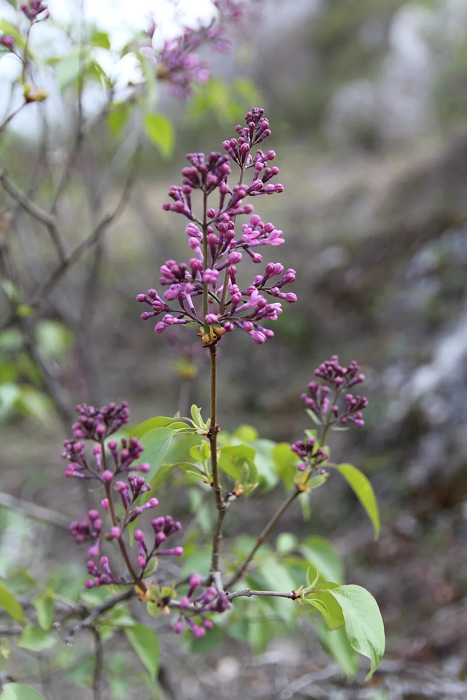 Common Lilac
 Mute Swan
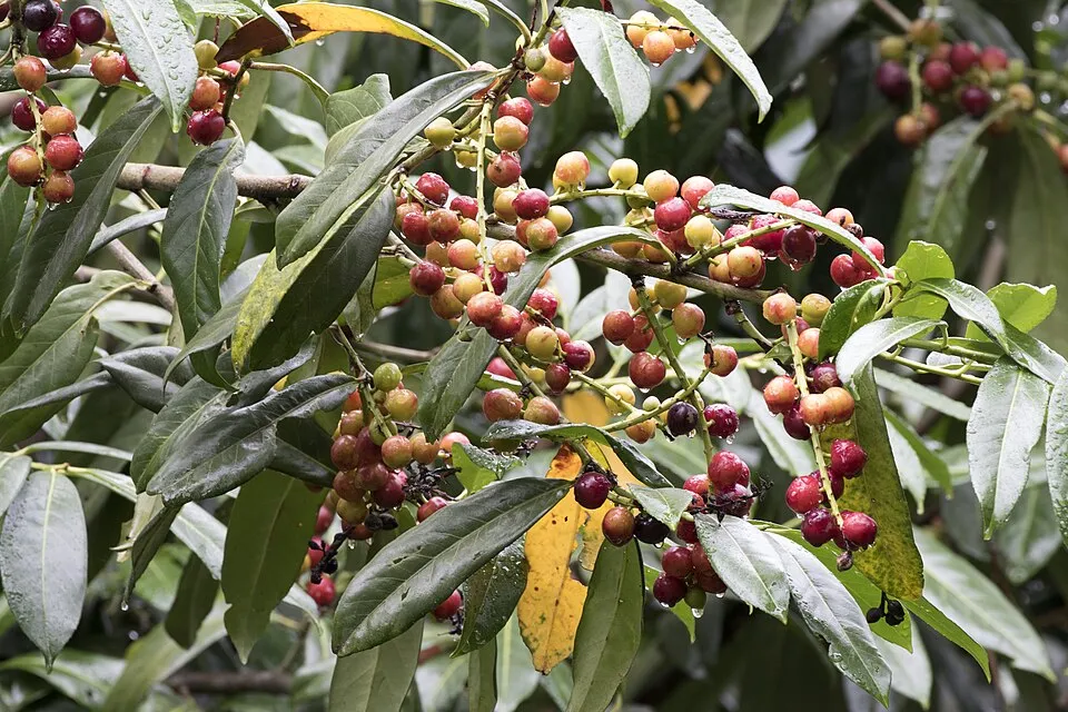 Cherry laurel
 Black locust
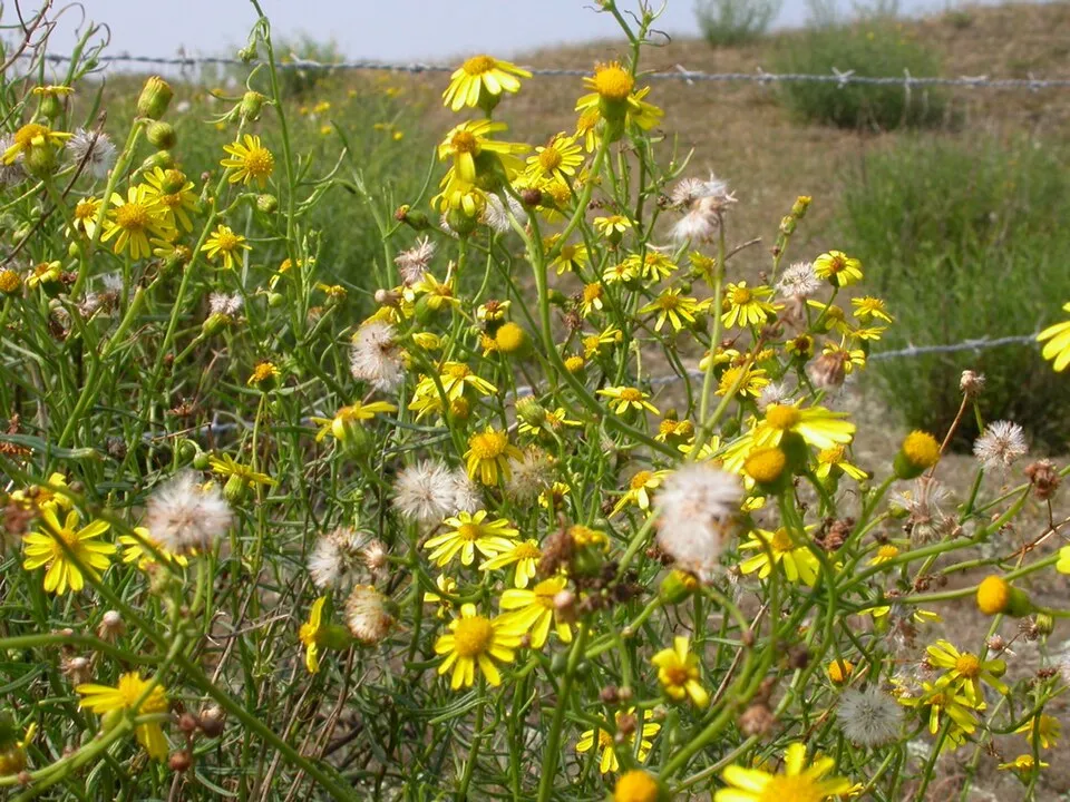 Narrow-leaved ragwort
Photos: Tree-of-heaven © Darkone · CC BY-SA 2.5; Common Lilac © Aporia.j · CC BY-SA 4.0; Mute Swan © Geni · CC BY-SA 4.0; Cherry laurel © Zeynel Cebeci · CC BY-SA 4.0; Black locust © This Photo was taken by Wolfgang Moroder. Feel free to use my photos, but please mention me as the author and send me a message. This image is not in the public domain. Please respect the copyright protection. It may only be used according… · CC BY-SA 3.0; Narrow-leaved ragwort © Pieter Pelser · CC BY 3.0
Sources: Global Forest Change (Hansen et al., University of Maryland, via Global Forest Watch, CC-BY 4.0); EFFIS, European Commission / Copernicus; NASA Black Marble 2016 (public domain); CORINE Land Cover 2018 (Copernicus) or MODIS.
CORINE Land Cover Change 1990–2018: generated using European Union's Copernicus Land Monitoring Service information (EEA), aggregated by Parkavela; DOI 10.2909/f30f1000-7cf8-43bb-872c-5eb093911b24.
Ecological status of water bodies: European Environment Agency, WISE – Water Framework Directive, 3rd river basin management plans (2022), CC BY 4.0. Official national classification, not comparable between countries.
Invasive alien species: Global Register of Introduced and Invasive Species (ISSG, CC BY 4.0); Union list, Regulation (EU) 1143/2014 (INBO, CC0); GBIF.org records (CC0 / CC BY 4.0), at least 2 per species.
Practical information
Cities and airport
- Foligno
7 km as the crow flies - Perugia
18 km as the crow flies - Airport: Perugia San Francesco d'Assisi (PEG)
8 km as the crow flies
Visitor information
- IAT de Assisi
within the site - Statio Peregrinorum
< 1 km from the site boundary
Things to see
12 viewpoints · 1 waterfall · 1 lake or pond · 18 caves
- Cascata della Sposa
waterfall - Lago della Spella
lake or pond - Buca del Macchione
cave · 1,085 m - Grotta del Subasio
cave · 1,050 m - Pozzo del Rimboschimento
cave · 1,050 m
Where to stay
8 mountain huts · 1 campsite
- Rifugio Vallonica
Unstaffed hut · 1,060 m - Fontemaggio
campsite - Rifugio Stazzi
Unstaffed hut · 1,045 m - Rifugio Fonte Bregno
Unstaffed hut · 1,025 m - Rifugio Madonna della Spella
Unstaffed hut · 978 m · 18 beds
Hiking
34 waymarked routes listed, including:
Cammino d'Assisi, San MiniatoCammino di AssisiCammino Francescano della MarcaSentiero degli UliviVia Lauretana
By bike
Appennino Bike Tour [ABT] · 11 kmspoleto-assisi Ciclovia Spoleto-Assisi · 4 km
Signed cycle routes: this does not mean that cycling is allowed on footpaths.
Data © OpenStreetMap contributors (ODbL) · Wikidata (CC0)
Routes © OpenStreetMap contributors (ODbL), via Waymarked Trails
Waymarked hiking routes
CFM Cammino Francescano della Marca - Tappa 1
7 km within the site ↗ 162 m↘ 94 m 385–485 m
S.U. Sentiero degli Ulivi - Tappa 5
10.6 km within the site ↗ 715 m↘ 474 m 421–851 m
Via di Francesco - Tappa 8B
1.1 km within the site ↗ 105 m↘ 0 m 239–344 m
VdF Via di Francesco - Tappa 9A (escursionistica)
11.3 km within the site ↗ 782 m↘ 424 m 385–1,116 m
VdF Via di Francesco/Via del SUD - Tappa 14A (Escursionistica)
11.3 km within the site ↗ 784 m↘ 426 m 385–1,116 m
Tracks © OpenStreetMap contributors (ODbL), clipped to the boundary; elevation gain and profiles computed on the longest section from Mapzen Terrain Tiles (≈ 30 m), indicative only.
Access and visiting
The nearest railway station is Assisi, about 1 km from the site boundary. Nearest towns of over 50,000 people, as the crow flies: Foligno (7 km) and Perugia (18 km). Nearest airport: Perugia San Francesco d'Assisi (PEG), about 8 km away. About 330,000 people live within 20 km of the site boundary, 140,000 of them within 10 km; some 4,900 people are estimated to live inside (GHSL estimate, 2020). This population has grown by about 12% since 2000. Visitor information on site: IAT de Assisi and Statio Peregrinorum. Waymarked hiking routes listed in OpenStreetMap: 34, including Cammino d'Assisi, San Miniato, Cammino di Assisi, Cammino Francescano della Marca and Sentiero degli Ulivi. The site is crossed by 2 signed cycle routes: “Appennino Bike Tour [ABT]” and “spoleto-assisi Ciclovia Spoleto-Assisi” (OpenStreetMap). To see: 12 viewpoints, 1 waterfall, 1 lake or pond and 18 caves, including Cascata della Sposa, Lago della Spella, Buca del Macchione (1,085 m) and Grotta del Subasio (1,050 m). Where to stay: 8 mountain huts and 1 campsite, including Rifugio Vallonica (1,060 m), Fontemaggio and Rifugio Stazzi (1,045 m). To plan a visit (access, opening periods, visitor rules), it is best to consult the official information from the managing body and the official website listed in this page's sources.
Source: OpenStreetMap (ODbL), Wikidata (CC0), October 2026.
Built heritage
According to Wikidata, 36 monuments protected as Italian national cultural heritage stand within the boundary. Among them are 11 houses and civic buildings, 10 religious buildings and 3 bridges, lighthouses, mills and working buildings. Examples include “Abbey of Saint Peter” in Assisi, “Castello di Collepino” in Spello and “Museo Civico e Foro Romano” in Assisi.
11 houses and civic buildings10 religious buildings3 bridges, lighthouses, mills and working buildings1 castle or fortification1 prehistoric or archaeological site
-
Abbey of Saint Peter
Assisi -
Castello di Collepino
Spello -
Museo Civico e Foro Romano
Assisi -
Assisium amphitheatre
Assisi -
Fontana di San Rufino
Assisi -
Archivio di Stato di Perugia. Sezione di Assisi
Assisi -
Basilica of San Francesco d'Assisi
Assisi · 13th c. -
Laboratorio ecologico di Geo-Paleontologia
Assisi
and 28 more
Source: Wikidata (CC0), monuments in each country’s official heritage protection registers, at national or regional level. Each item links to its Wikidata entry.
When to visit
Best time to visit: from May to October, with average temperatures of 12 to 23 °C and moderate rainfall. These averages apply to the site's representative point (652 m); higher up it is markedly cooler. Day length ranges from about 9 h 01 min in December to 15 h 21 min in June. Wildlife records published on GBIF peak for birds (May), plants (May) and butterflies and moths (June). These peaks also reflect when observers are most active.
Source: Copernicus ERA5-Land (C3S), monthly averages 1996–2025 at the representative point, temperatures adjusted for elevation.
Contains modified Copernicus Climate Change Service information 2026. Neither the European Commission nor ECMWF is responsible for any use that may be made of the Copernicus information or data it contains.
Wildlife records calendar
JFMAMJJASOND
Birds
Plants
Butterflies & moths
Monthly records published on GBIF (CC-BY), relative to the busiest month; also reflects observer activity.
Gallery
© Ruggerom68 · CC BY-SA 4.0
© Laura masciolini · CC BY-SA 4.0
© Gianluca Paffarini · CC BY-SA 4.0
© Jynjyn · CC BY-SA 4.0
© Ac2mobi · CC BY-SA 4.0
© Laura masciolini · CC BY-SA 4.0
Sources and licences
- Wikidata: Q3895497
- Wikipedia: it.wikipedia.org/wiki/Parco_del_Monte_Subasio
- WDPA: 178944
References
- cds.climate.copernicus.eu: climate · CC-BY-4.0
- registry.opendata.aws: elevation of the reference point, detailed relief · PD
- land.copernicus.eu: land cover, land cover change, sea share · COPERNICUS
- doi.org: population around the site · CC-BY-4.0
- wikidata.org: official area, establishment date, protected heritage, official name, nearby cities and airport, access and peaks, lake depths, places to see · CC0-1.0
- eea.europa.eu: bathing water quality, ecological status of waters · CC-BY-4.0
- en.eurovelo.com: EuroVelo cycle routes · ODbL-1.0
- cycling.waymarkedtrails.org: cycle routes · ODbL-1.0
- opentopodata.org: elevations · PD
- forest-fire.emergency.copernicus.eu: wildfires · COPERNICUS
- globalforestwatch.org: tree cover loss · CC-BY-4.0
- gbif.org: seasonality of sightings, invasive alien species, observed species · CC-BY-4.0
- europe-geology.eu: geology · CC-BY-4.0
- hydrosheds.org: lakes · CC-BY-4.0
- natura2000.eea.europa.eu: Natura 2000 habitats and species · CC-BY-4.0
- earthobservatory.nasa.gov: night light · PD
- openstreetmap.org: access and peaks, places to see · ODbL-1.0
- hiking.waymarkedtrails.org: route difficulty · ODbL-1.0
- nsidc.org: snow cover · PD
- wikidata.org: Wikipedia article · CC-BY-SA-4.0
Data © OpenStreetMap contributors (ODbL), Wikidata (CC0) and the sources cited.