Italy · Terrestrial
Monteveglio Abbey Regional Park
Regional nature park of 878 hectares in Italy, established in 1995.
Overview
Regional nature park of 878 hectares in Italy, established in 1995.
Monteveglio Abbey Regional Park is a regional nature park in Italy (Europe). It is a predominantly terrestrial area. Established on 14 April 1995, it covers about 878 hectares.
Protections and designations
Natura 2000 · habitats (SAC)
- Abbazia di Monteveglio IT4050016
Natura 2000 · birds (SPA)
- Abbazia di Monteveglio IT4050016
Protected as a regional nature park. International labels and designations: Natura 2000 network (1 site: “Abbazia di Monteveglio”).
In our collections
Frequently asked questions
Where is Monteveglio Abbey Regional Park?
In Italy (Europe). Representative point: 44.4708° N, 11.0937° E.
How large is Monteveglio Abbey Regional Park?
About 878 hectares (9 km²). It is the 105th largest of the 128 regional parks in Italy covered by Parkavela.
When was Monteveglio Abbey Regional Park established?
On 14 April 1995.
What habitats and landscapes does Monteveglio Abbey Regional Park include?
A terrestrial area, with forests.
What rocks lie beneath Monteveglio Abbey Regional Park?
According to the European 1:1 million geological map (EGDI), the bedrock consists mainly of marly limestones (44% of sampled points), unconsolidated deposits (25%) and limestones (19%). These are mostly sedimentary rocks. The geological units date mainly from the Cenozoic (44% of sampled points).
What is the highest point of Monteveglio Abbey Regional Park?
Monte Freddo, at 349 m (OpenStreetMap).
What are the main summits of Monteveglio Abbey Regional Park?
Monte Freddo (349 m), Monte Morello (342 m), Monte Gennaro (338 m), Monteveglio (298 m) and Colle della Cucherla (296 m) (OpenStreetMap).
Which international labels apply to Monteveglio Abbey Regional Park?
Natura 2000 network (1 site: “Abbazia di Monteveglio”).
When is the best time to visit Monteveglio Abbey Regional Park?
Best time to visit: from May to October, with average temperatures of 14 to 25 °C and moderate rainfall.
What is there to see in Monteveglio Abbey Regional Park?
1 viewpoint and 2 lakes and ponds, including Punto panoramico, Lo stagno delle rane and Stagno Didattico (OpenStreetMap).
Are there historic monuments in Monteveglio Abbey Regional Park?
Yes. According to Wikidata, 5 monuments protected as Italian national cultural heritage stand within the boundary. For example: “Abbazia di Santa Maria Assunta” in Valsamoggia, “Porta e torrione del castello di Monteveglio Alto” in Valsamoggia and “Casa del Sagrestano” in Valsamoggia.
What is the nearest large city to Monteveglio Abbey Regional Park?
Nearest towns of over 50,000 people, as the crow flies: Bologna (19 km) and Modena (22 km). Nearest airport: Bologna Guglielmo Marconi (BLQ), about 16 km away.
How can I reach Monteveglio Abbey Regional Park by train?
The nearest railway station is Samoggia, about 10 km from the site boundary.
Where can I get visitor information on site?
Centro Parco San Teodoro, Centro informazioni Polisportiva Monteveglio and Sede Associazione Borgo Castello.
Are there waymarked hiking trails in Monteveglio Abbey Regional Park?
Yes. Waymarked hiking routes listed in OpenStreetMap: 11.
Which species can be seen in Monteveglio Abbey Regional Park?
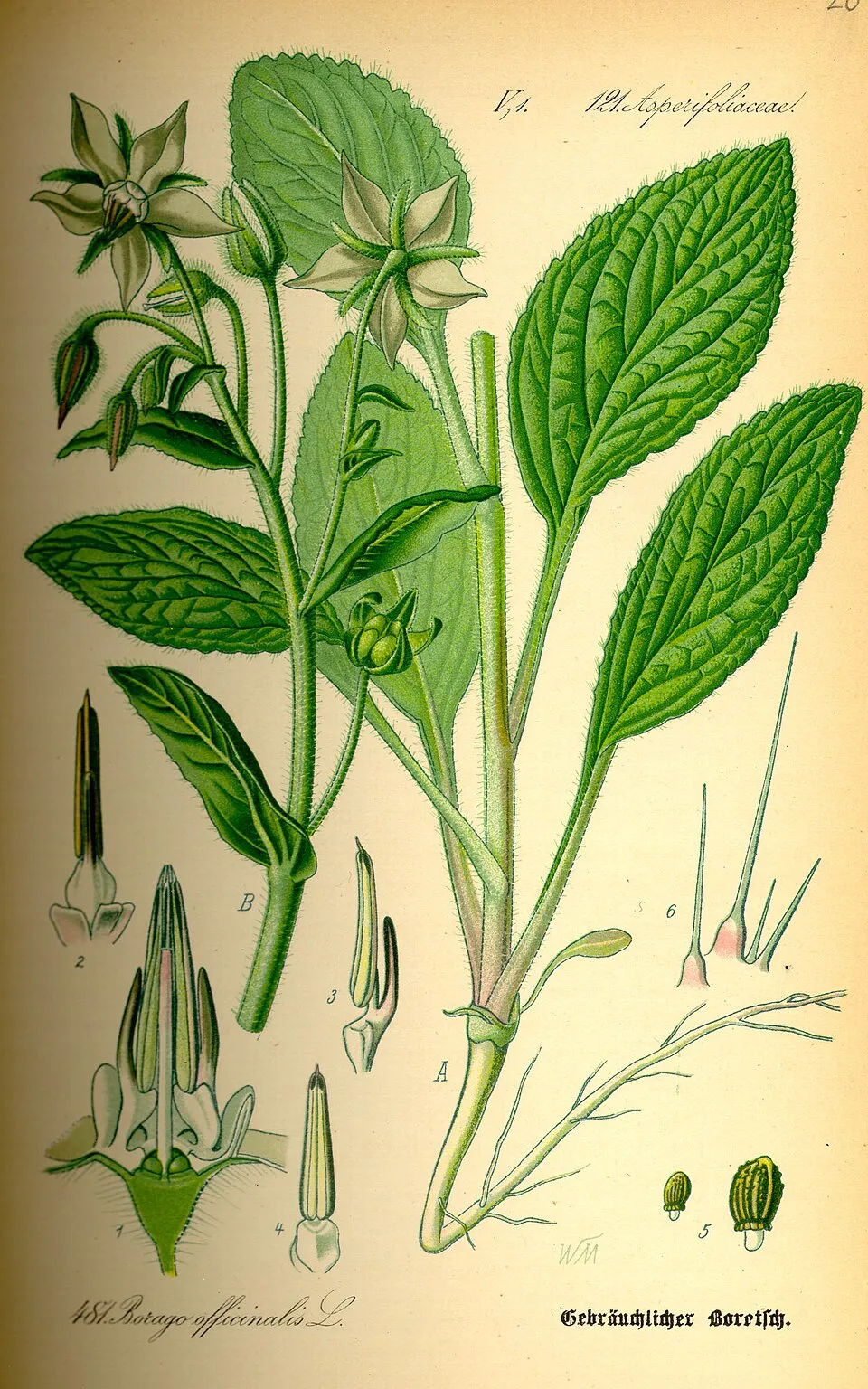
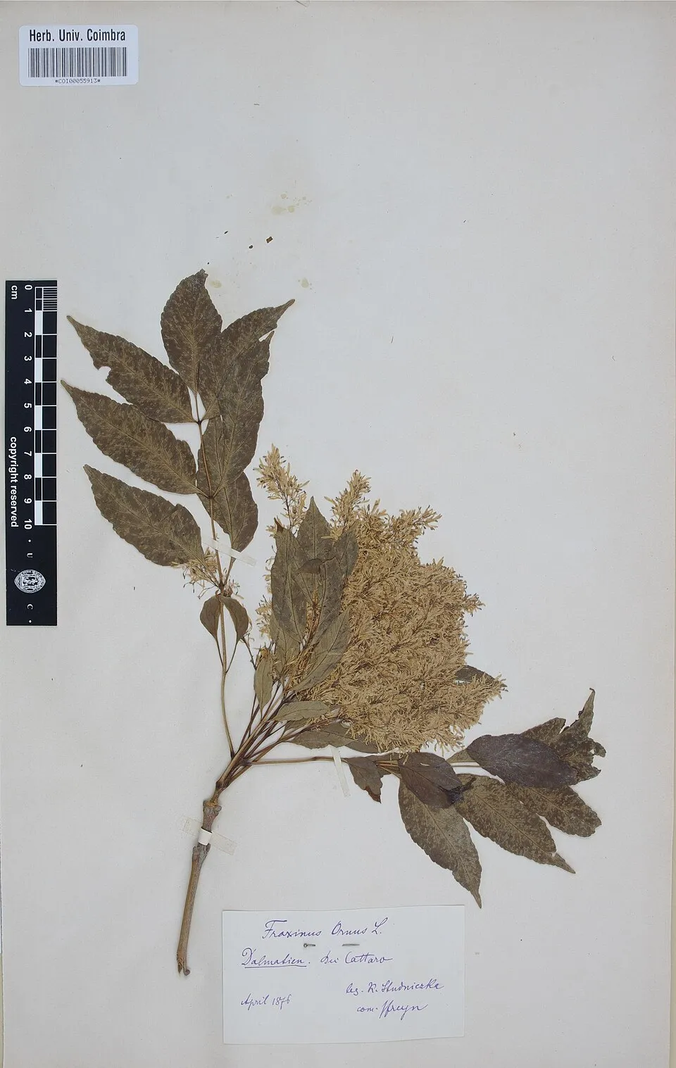
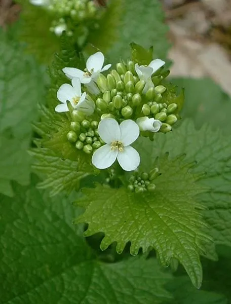
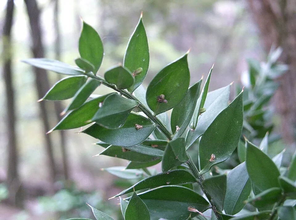
Among the species most often recorded on GBIF are Borago officinalis (Borage), Fraxinus ornus (Manna Ash), Alliaria petiolata (Garlic Mustard) and Ruscus aculeatus (Butcher's-broom).
© OpenStreetMap
Download the boundary: GeoJSON · GPX Boundary © OpenStreetMap contributors (ODbL).
Geography
The representative point of the site lies at around 239 m above sea level. Over the 1996–2025 period, the mean annual temperature is about 13.3 °C and total precipitation reaches roughly 944 mm per year. The warmest month is usually July, the coolest January, and the wettest November. According to the European 1:1 million geological map (EGDI), the bedrock consists mainly of marly limestones (44% of sampled points), unconsolidated deposits (25%) and limestones (19%). These are mostly sedimentary rocks. The geological units date mainly from the Cenozoic (44% of sampled points).
Area
- Area
- 878 ha
- Elevation
- 239 m
- Mean slope
- 12°
- Coordinates
- 44.4708, 11.0937
Terrain: Mapzen Terrain Tiles (SRTM, USGS)
Bedrock
- Marly limestones 44 %
- Unconsolidated deposits 25 %
- Limestones 19 %
- Carbonate rocks 13 %
Sedimentary rocks 100 % · Main age: Cenozoic (44%)
Source: EGDI 1:1M geological map (EuroGeoSurveys and national geological surveys), CC BY 4.0 · 16 sampled points within the site.
Main summits
- Monte Freddo349 m
- Monte Morello342 m
- Monte Gennaro338 m
- Monteveglio298 m
- Colle della Cucherla296 m
Data © OpenStreetMap contributors (ODbL)
Climate
● Mean temperature (°C) · ▮ Precipitation (mm)
Source: Copernicus ERA5-Land (C3S, doi:10.24381/cds.68d2bb30), monthly averages 1996–2025 interpolated to the representative point, temperatures adjusted for elevation.
Contains modified Copernicus Climate Change Service information 2026. Neither the European Commission nor ECMWF is responsible for any use that may be made of the Copernicus information or data it contains.
Natural habitats
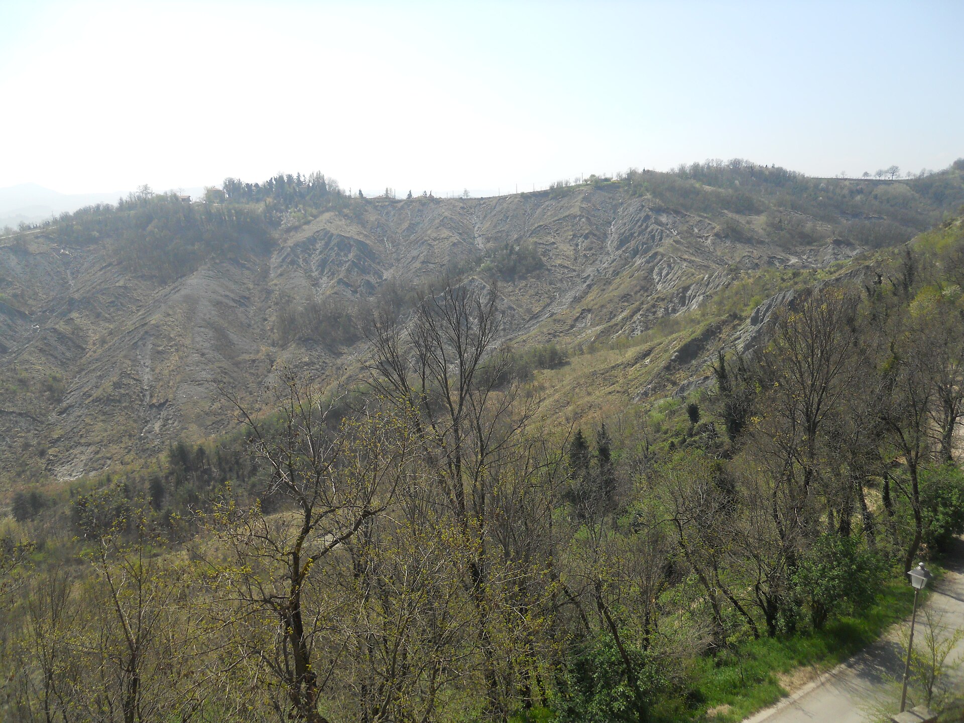
According to CORINE Land Cover (2018), the site is mainly made up of farmland (51%), forests (34%) and sparsely vegetated land (11%). Woodland is mostly broadleaved. Elevation ranges from about 100 m to 349 m (highest point: Monte Freddo). The Natura 2000 site overlapping the area lists 8 habitats of European interest (2 priority), the most extensive being semi-natural dry grasslands and scrubland facies on calcareous substrates (Festuco-Brometalia) (* important orchid sites), eastern white oak woods and pseudo-steppe with grasses and annuals of the Thero-Brachypodietea.
Biodiversity
Based on occurrences aggregated by GBIF, several species are regularly recorded within the site. Among the most frequent are Borago officinalis (Borage), Fraxinus ornus (Manna Ash), Alliaria petiolata (Garlic Mustard) and Ruscus aculeatus (Butcher's-broom). The full list of documented taxa is shown below. The overlapping Natura 2000 site lists 25 species of European interest: 13 birds, 5 mammals, 1 reptile, 2 amphibians, 2 invertebrates and 2 plants.
Habitats of European interest
From the official form of the Natura 2000 site overlapping the area (areas reported for the whole site).
- Semi-natural dry grasslands and scrubland facies on calcareous substrates (Festuco-Brometalia) (* important orchid sites) 38 ha
- Eastern white oak woods priority 34 ha
- Pseudo-steppe with grasses and annuals of the Thero-Brachypodietea priority 16 ha
- Salix alba and Populus alba galleries 9 ha
- Juniperus communis formations on heaths or calcareous grasslands 8 ha
- Rivers with muddy banks with Chenopodion rubri p.p. and Bidention p.p. vegetation 7 ha
- Molinia meadows on calcareous, peaty or clayey-silt-laden soils (Molinion caeruleae) 0 ha
- Hard oligo-mesotrophic waters with benthic vegetation of Chara spp. 0 ha
Species of European interest
Birds · 13
Common Kingfisher (Alcedo atthis) breeding, European Nightjar (Caprimulgus europaeus) breeding, Common Cuckoo (Cuculus canorus) breeding, Common House Martin (Delichon urbicum) breeding, Great Spotted Woodpecker (Dendrocopos major) resident, Ortolan Bunting (Emberiza hortulana) breeding, Peregrine Falcon (Falco peregrinus) passage, Common Kestrel (Falco tinnunculus) resident, Eurasian Wryneck (Jynx torquilla) breeding, Red-backed Shrike (Lanius collurio) breeding, Spotted Flycatcher (Muscicapa striata) breeding, Eurasian Scops Owl (Otus scops) breeding and 1 more
Mammals · 5
Grey wolf (Canis lupus), Serotine bat (Eptesicus serotinus), Savi's Pipistrelle (Hypsugo savii), Hazel dormouse (Muscardinus avellanarius), Kuhl's pipistrelle (Pipistrellus kuhlii)
Reptiles · 1
Invertebrates · 2
Stag beetle (Lucanus cervus), Hermit beetle (Osmoderma eremita)
Source: Natura 2000 standard data forms (EEA, CC-BY 4.0). Not exhaustive: sensitive species are not published.
Species to look out for
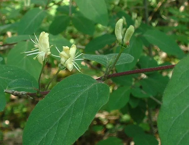
Observed species
Occurrences documented via GBIF; they are neither an exhaustive inventory nor proof of current presence.
- Borage · Borago officinalis · 11
- Manna Ash · Fraxinus ornus · 9
- Garlic Mustard · Alliaria petiolata · 7
- Butcher's-broom · Ruscus aculeatus · 5
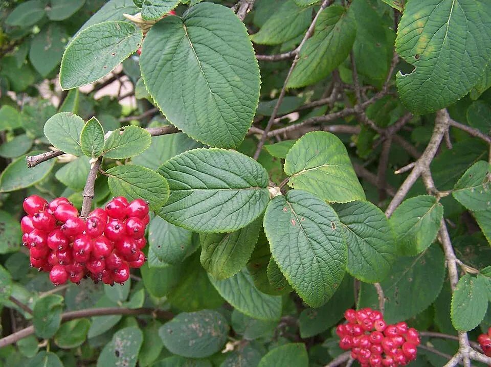
- Wayfaring-tree · Viburnum lantana · 5
- Fly honeysuckle · Lonicera xylosteum · 5
- Sowbread · Cyclamen hederifolium · 5
- Bastard Balm · Melittis melissophyllum · 5
- Castor Bean Tick · Ixodes ricinus · 4
- Staghorn sumac · Rhus typhina · 4
- Jeruselem thorn · Paliurus spina-christi · 4
- Osage-orange · Maclura pomifera · 3
+18 more species
- Winter aconite · Eranthis hyemalis · 3
- Sun spurge · Euphorbia helioscopia · 3
- Cornelian cherry · Cornus mas · 3
- Woody Fleabane · Dittrichia viscosa · 3
- Greater Celandine · Chelidonium majus · 3
- Scorpion Senna · Hippocrepis emerus · 3
- Honesty · Lunaria annua · 3
- Stinking Hellebore · Helleborus foetidus · 3
- Bladder senna · Colutea arborescens · 3
- Lady orchid · Orchis purpurea · 3
- Great tit · Parus major · 3
- Common Blackbird · Turdus merula · 2
- Eurasian Blackcap · Sylvia atricapilla · 2
- Eurasian Chaffinch · Fringilla coelebs · 2
- Common Wood Pigeon · Columba palumbus · 2
- Eurasian Collared Dove · Streptopelia decaocto · 2
- Green-winged Orchid · Anacamptis morio · 2
- Hazel · Corylus avellana · 2
Records: GBIF.org (CC-BY). Names: Wikidata (CC0), GBIF. Photos: Wikimedia Commons.
Conservation challenges
The primary purpose of the site is to preserve its natural habitats and the biodiversity they support. The species recorded (Biodiversity tab) reflect its ecological value. The designations it holds frame its management and the control of land use.
According to CORINE Land Cover, land cover here remained almost unchanged between 1990 and 2018 (less than 0.5% of the area affected). At night, 100% of the area gives off artificial light detectable from space (NASA VIIRS Black Marble composite, 2016). Built-up and developed land (buildings, business areas, roads, quarries) covers 3% of the area, and farmland 51% (CORINE Land Cover). According to the Natura 2000 forms, of 8 assessed habitats of European interest, 2 are in average or reduced condition and the rest in good condition. According to the Water Framework Directive assessment (2022 river basin management plans, data 2016–2019), the only river assessed within the site has moderate ecological status.
Pressure indicators
Tree cover lost
2 ha
2001–2023 · < 1% of the area
20012023
Fires since 2016
0
No large fire mapped (fires over about 30 ha)
Light at night
100%
of the area gives off artificial light visible from space
DarkLit
Built-up land
3%
buildings, business areas, roads, quarries · farmland 51%
Land cover change
< 0.5%
of the area changed, 1990–2018 · CORINE
Rivers and lakes
0%
of the 2 km of assessed rivers in good or high ecological status · WFD 2022
assessments 2016–2019
Invasive alien species
2
recorded since 2000
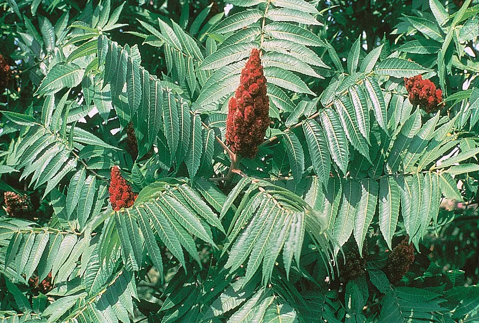 Staghorn sumac
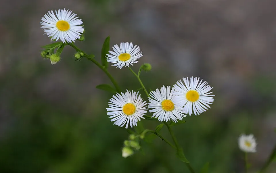 Eastern daisy fleabane
Photos: Staghorn sumac © Muggwort17 · Public domain; Eastern daisy fleabane © W. Bulach · CC BY-SA 4.0
Sources: Global Forest Change (Hansen et al., University of Maryland, via Global Forest Watch, CC-BY 4.0); EFFIS, European Commission / Copernicus; NASA Black Marble 2016 (public domain); CORINE Land Cover 2018 (Copernicus) or MODIS.
CORINE Land Cover Change 1990–2018: generated using European Union's Copernicus Land Monitoring Service information (EEA), aggregated by Parkavela; DOI 10.2909/f30f1000-7cf8-43bb-872c-5eb093911b24.
Ecological status of water bodies: European Environment Agency, WISE – Water Framework Directive, 3rd river basin management plans (2022), CC BY 4.0. Official national classification, not comparable between countries.
Invasive alien species: Global Register of Introduced and Invasive Species (ISSG, CC BY 4.0); Union list, Regulation (EU) 1143/2014 (INBO, CC0); GBIF.org records (CC0 / CC BY 4.0), at least 2 per species.
Practical information
Cities and airport
- Bologna
19 km as the crow flies - Modena
22 km as the crow flies - Airport: Bologna Guglielmo Marconi (BLQ)
16 km as the crow flies
Visitor information
- Centro Parco San Teodoro
within the site - Centro informazioni Polisportiva Monteveglio
< 1 km from the site boundary - Sede Associazione Borgo Castello
2 km from the site boundary
Things to see
1 viewpoint · 2 lakes and ponds
- Punto panoramico
viewpoint - Lo stagno delle rane
lake or pond - Stagno Didattico
lake or pond
Hiking
11 waymarked routes listed
Data © OpenStreetMap contributors (ODbL) · Wikidata (CC0)
Waymarked hiking routes
IT4 Calanchi del Rio Paraviere e Valle del Rio Marzator
3 km within the site ↗ 6 m↘ 5 m 100–111 m
IT8 Corte d'Aibo e Le Pendici di Monte Morello
1.7 km within the site ↗ 116 m↘ 114 m 159–286 m
Tracks © OpenStreetMap contributors (ODbL), clipped to the boundary; elevation gain and profiles computed on the longest section from Mapzen Terrain Tiles (≈ 30 m), indicative only.
Access and visiting
The nearest railway station is Samoggia, about 10 km from the site boundary. Nearest towns of over 50,000 people, as the crow flies: Bologna (19 km) and Modena (22 km). Nearest airport: Bologna Guglielmo Marconi (BLQ), about 16 km away. About 610,000 people live within 20 km of the site boundary, 130,000 of them within 10 km; some 1,300 people are estimated to live inside (GHSL estimate, 2020). This population has grown by about 13% since 2000. Visitor information on site: Centro Parco San Teodoro, Centro informazioni Polisportiva Monteveglio and Sede Associazione Borgo Castello. Waymarked hiking routes listed in OpenStreetMap: 11. To see: 1 viewpoint and 2 lakes and ponds, including Punto panoramico, Lo stagno delle rane and Stagno Didattico. To plan a visit (access, opening periods, visitor rules), it is best to consult the official information from the managing body and the official website listed in this page's sources.
Source: OpenStreetMap (ODbL), Wikidata (CC0), October 2026.
Built heritage
According to Wikidata, 5 monuments protected as Italian national cultural heritage stand within the boundary. Among them are 3 religious buildings, 1 house or civic building and 1 castle or fortification. Examples include “Abbazia di Santa Maria Assunta” in Valsamoggia, “Porta e torrione del castello di Monteveglio Alto” in Valsamoggia and “Casa del Sagrestano” in Valsamoggia.
3 religious buildings1 house or civic building1 castle or fortification
-
Abbazia di Santa Maria Assunta
Valsamoggia · 12th c. -
Porta e torrione del castello di Monteveglio Alto
Valsamoggia · 14th c. -
Casa del Sagrestano
Valsamoggia -
Oratorio dei Santi Rocco e Sebastiano
Valsamoggia · 17th c. -
Oratorio della Beata Vergine di San Luca
Valsamoggia · 19th c.
Source: Wikidata (CC0), monuments in each country’s official heritage protection registers, at national or regional level. Each item links to its Wikidata entry.
When to visit
Best time to visit: from May to October, with average temperatures of 14 to 25 °C and moderate rainfall. Day length ranges from about 8 h 51 min in December to 15 h 31 min in June. Wildlife records published on GBIF peak for birds (May) and plants (April and May). These peaks also reflect when observers are most active.
Source: Copernicus ERA5-Land (C3S), monthly averages 1996–2025 at the representative point, temperatures adjusted for elevation.
Contains modified Copernicus Climate Change Service information 2026. Neither the European Commission nor ECMWF is responsible for any use that may be made of the Copernicus information or data it contains.
Wildlife records calendar
JFMAMJJASOND
Birds
Plants
Monthly records published on GBIF (CC-BY), relative to the busiest month; also reflects observer activity.
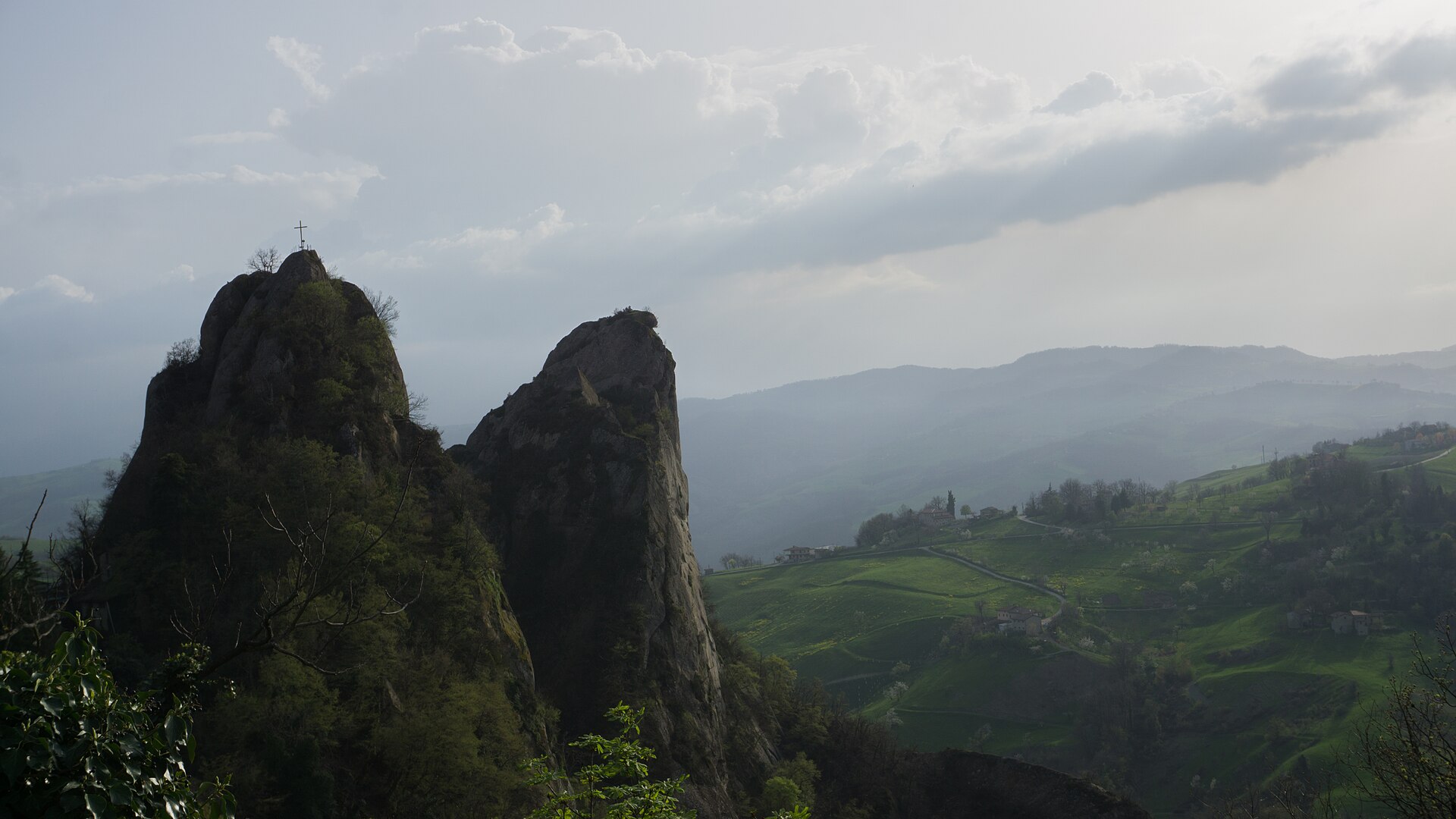
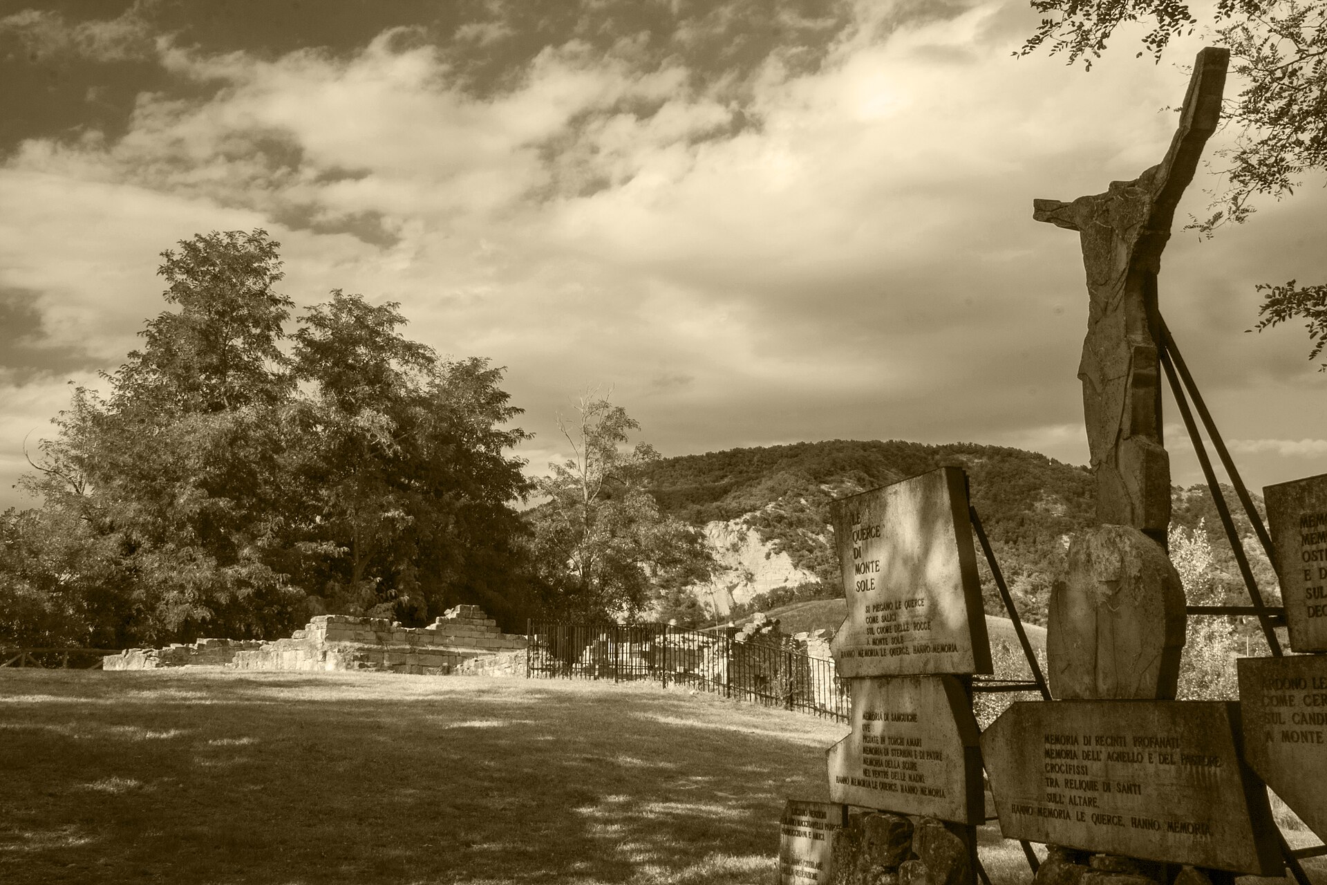
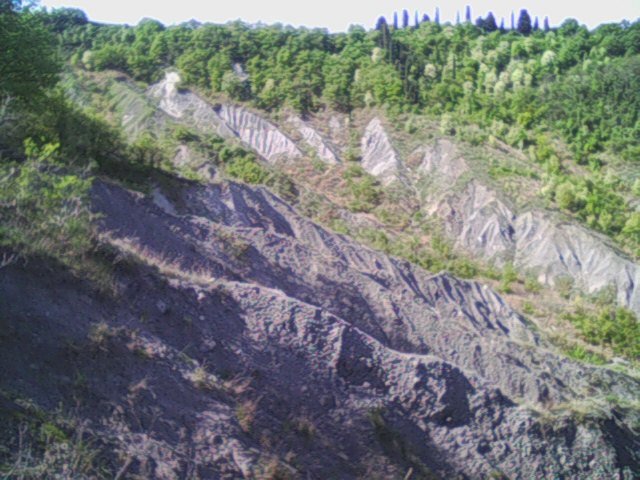
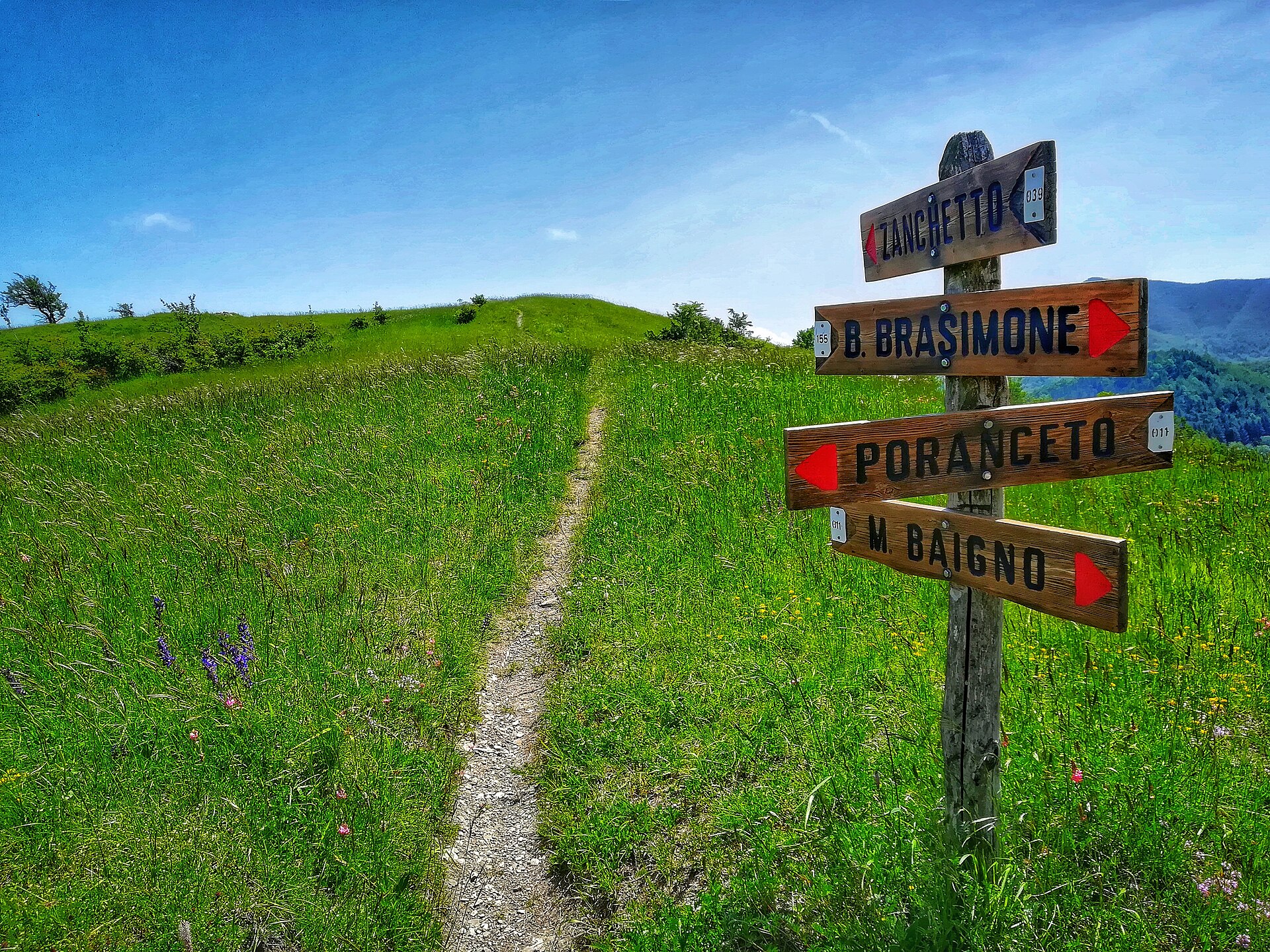
Gallery
© RobyBS89 · CC0-1.0
© Patafisik · CC BY-SA 4.0
© Aneta Malinowska · CC BY-SA 4.0
© Urban38 · CC BY-SA 4.0
© Urban38 · CC BY-SA 4.0
© Patafisik · CC BY-SA 3.0
Sources and licences
- Wikidata: Q3895741
- OpenStreetMap: relation 3510853
- Wikipedia: it.wikipedia.org/wiki/Parco_regionale_dell'Abbazia_di_Monteveglio
- WDPA: 178969
References
- cds.climate.copernicus.eu: climate · CC-BY-4.0
- registry.opendata.aws: elevation of the reference point, detailed relief · PD
- land.copernicus.eu: land cover, land cover change, sea share · COPERNICUS
- doi.org: population around the site · CC-BY-4.0
- wikidata.org: official area, establishment date, protected heritage, nearby cities and airport, access and peaks, lake depths, places to see · CC0-1.0
- eea.europa.eu: bathing water quality, ecological status of waters · CC-BY-4.0
- en.eurovelo.com: EuroVelo cycle routes · ODbL-1.0
- cycling.waymarkedtrails.org: cycle routes · ODbL-1.0
- opentopodata.org: elevations · PD
- forest-fire.emergency.copernicus.eu: wildfires · COPERNICUS
- globalforestwatch.org: tree cover loss · CC-BY-4.0
- gbif.org: seasonality of sightings, invasive alien species, observed species · CC-BY-4.0
- europe-geology.eu: geology · CC-BY-4.0
- hydrosheds.org: lakes · CC-BY-4.0
- natura2000.eea.europa.eu: Natura 2000 habitats and species · CC-BY-4.0
- openstreetmap.org: official name, access and peaks, places to see · ODbL-1.0
- earthobservatory.nasa.gov: night light · PD
- hiking.waymarkedtrails.org: route difficulty · ODbL-1.0
- nsidc.org: snow cover · PD
- wikidata.org: Wikipedia article · CC-BY-SA-4.0
Data © OpenStreetMap contributors (ODbL), Wikidata (CC0) and the sources cited.