
Plant
Rooting chainfern: where to see it
Woodwardia radicans
This plant species is recorded in 13 protected areas of the atlas, and is listed on the official Natura 2000 form of each of them. Within the atlas countries, it is mostly observed in Portugal, Spain and France (4 countries in all). Most records (8 in 10) lie between 50 and 650 m above sea level. Records peak from May to September. Perennial plant, native to Europe and Africa, introduced to North America. It is a species of Community interest under the Habitats Directive (Annexes II and IV). In the EU its conservation status is assessed as favourable in some biogeographical regions and unfavourable in others (2013–2018 reporting).
Best time to see it: May–September
Records published on GBIF by month (CC0 and CC BY 4.0 licences only), in the atlas countries, all years combined; they also reflect observer activity.
Status and protection
Habitats Directive II · IV
The species is listed in Annexes II and IV of the Habitats Directive.
In the EU its conservation status is assessed as unfavourable-inadequate in the Atlantic and Mediterranean regions and favourable in the Macaronesian region (2013–2018 reporting).
Distribution
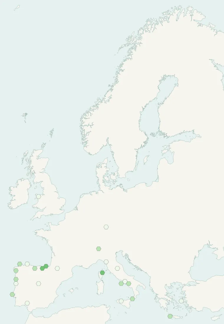
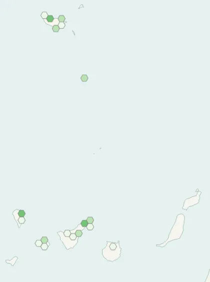
Records published on GBIF (CC0 and CC BY 4.0 licences): the darker the shade, the more records there are; they also reflect observation effort.
Atlas countries where it is recorded
From Wikipedia
Woodwardia radicans, the chain fern, European chain fern or rooting chainfern, is a species of fern in the family Blechnaceae, mainly found in Macaronesia and southwestern Europe, but is also found in southern Italy and Crete. Growing to 1.8 m (6 ft) tall by 2 m (7 ft) broad, it is evergreen with arching fronds. The pinnae have curved, finely-toothed segments. The plant derives its common name from the linked sori on the undersides of the fronds. The specific epithet radicans means "with stems that take root", referring to rooting plantlets appearing at the tips of the fronds.
Source: Wikipedia, article “Woodwardia radicans” (version of May 19, 2026) · history and authors · licence CC BY-SA 4.0 · shortened excerpt
Protected areas where it is recorded

Natura 2000 36 records
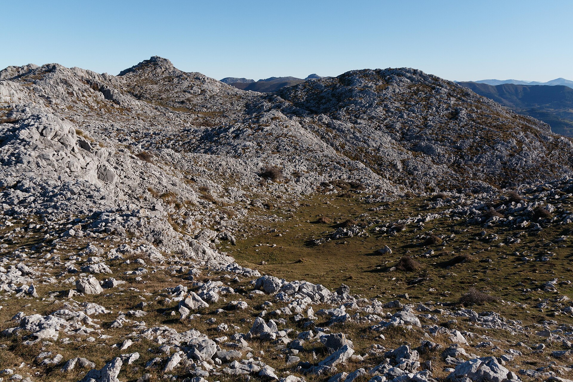
Natura 2000
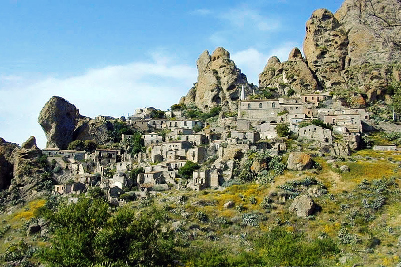
Natura 2000
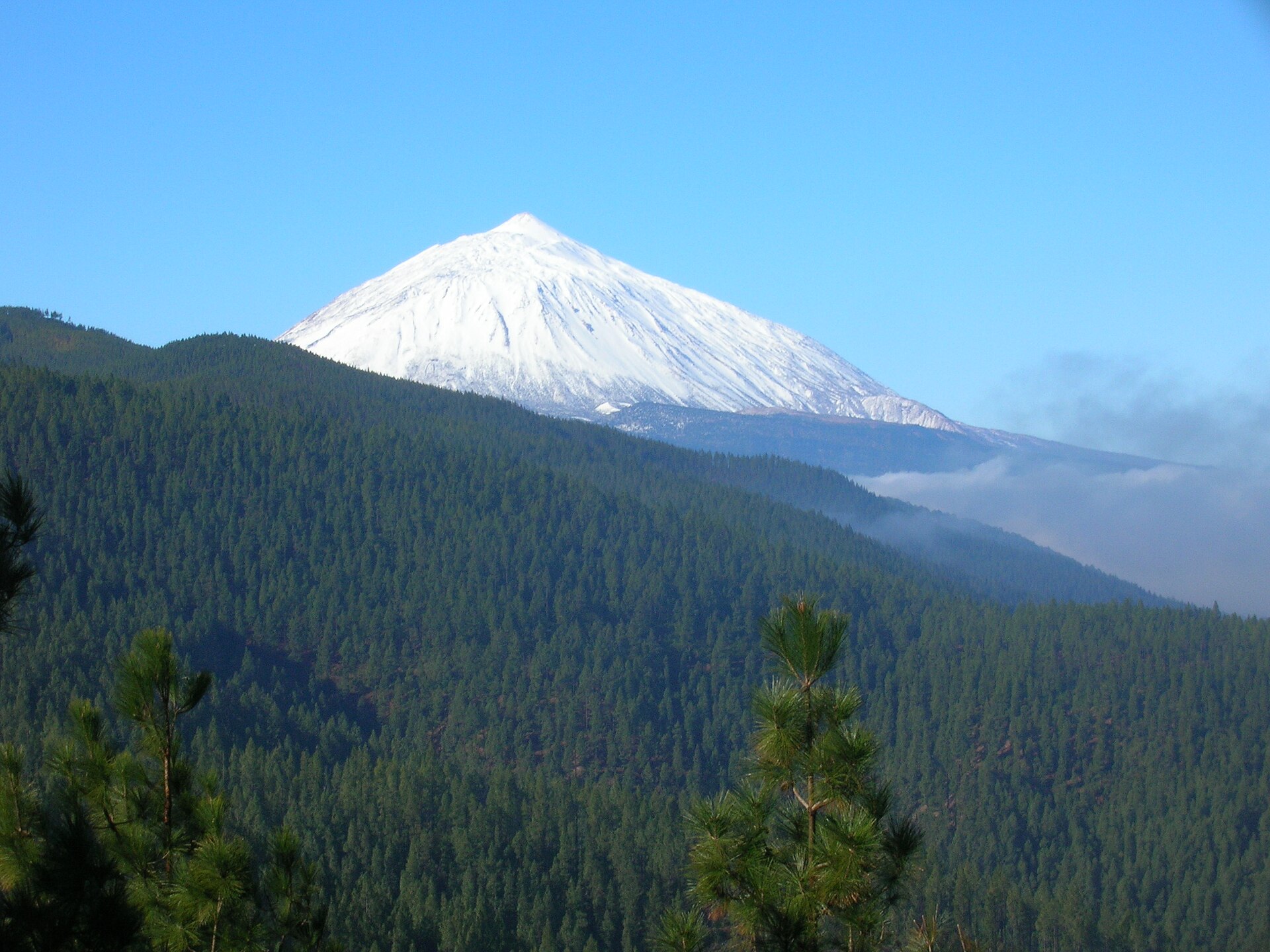
Natura 2000
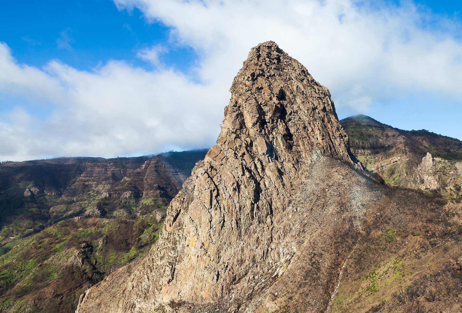
Natura 2000
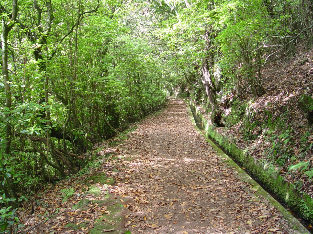
Natura 2000
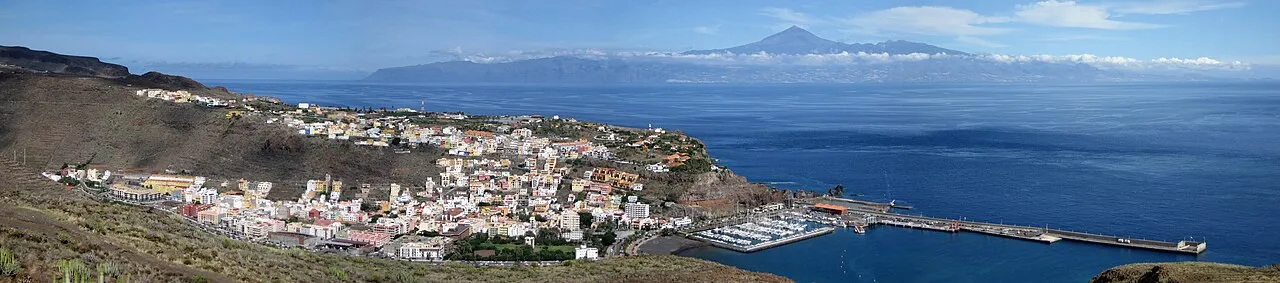
Natura 2000

Natura 2000
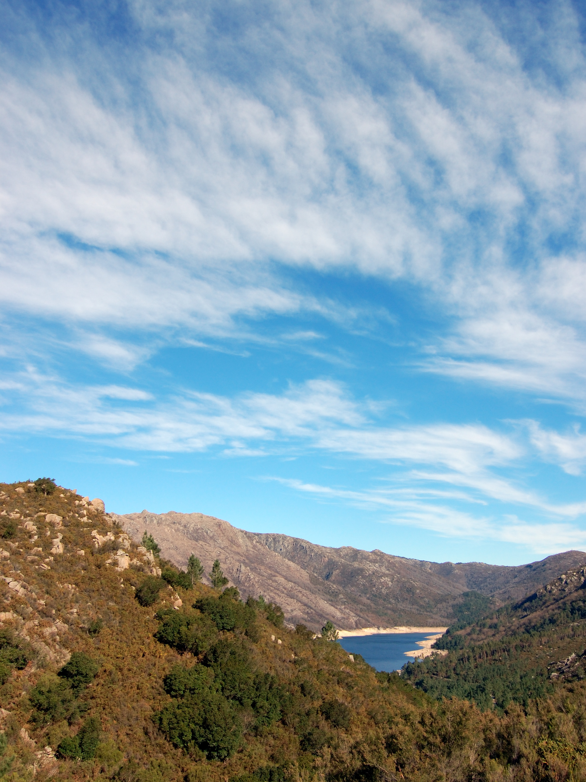
Natura 2000
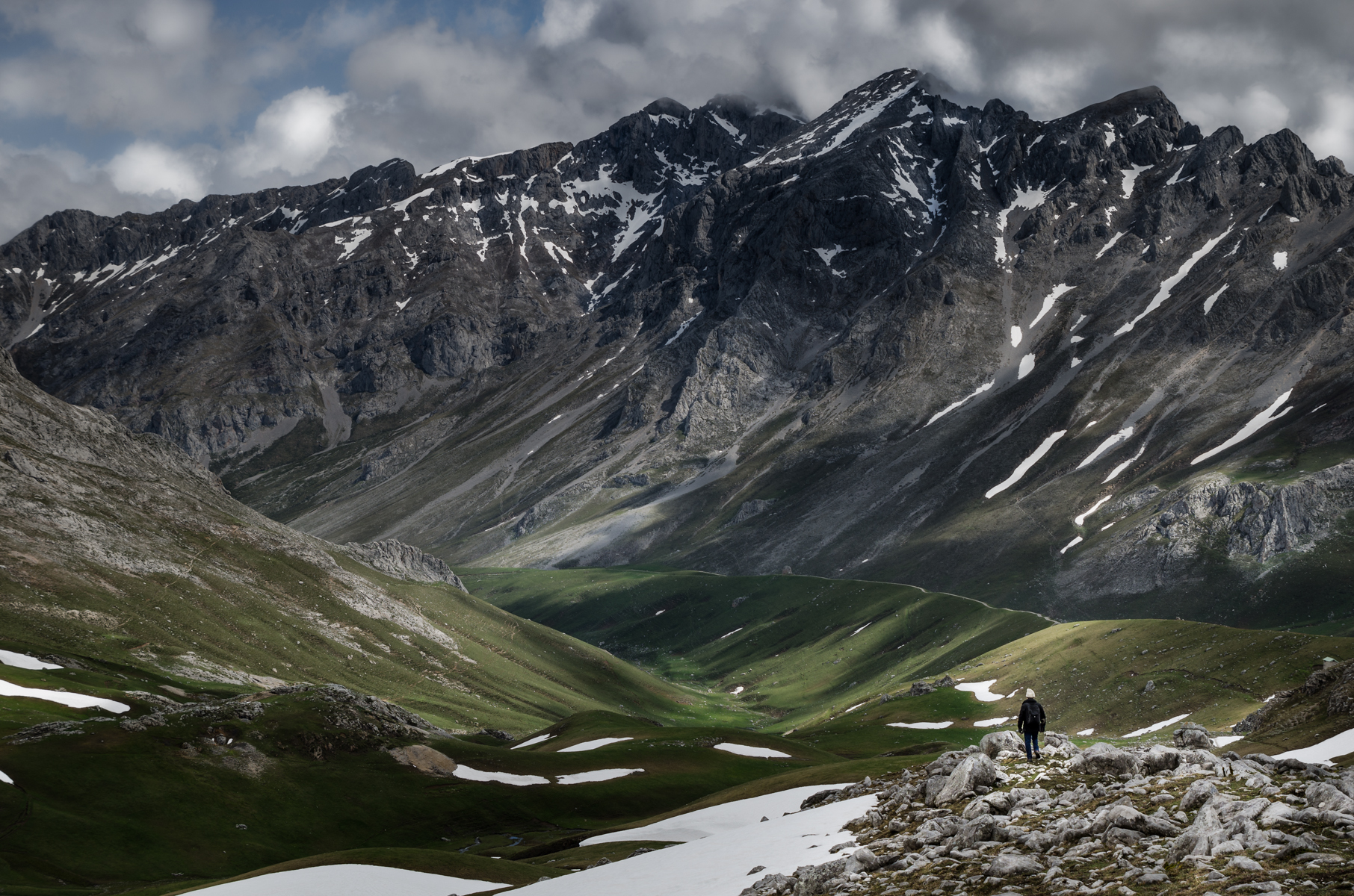
Natura 2000
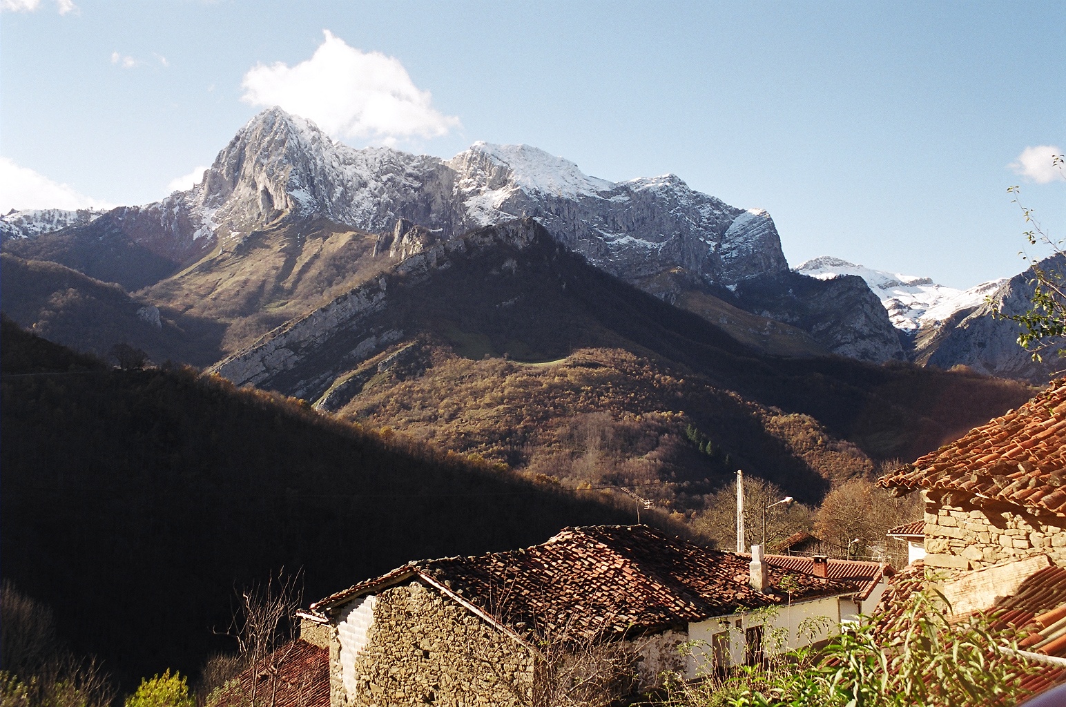
Natura 2000
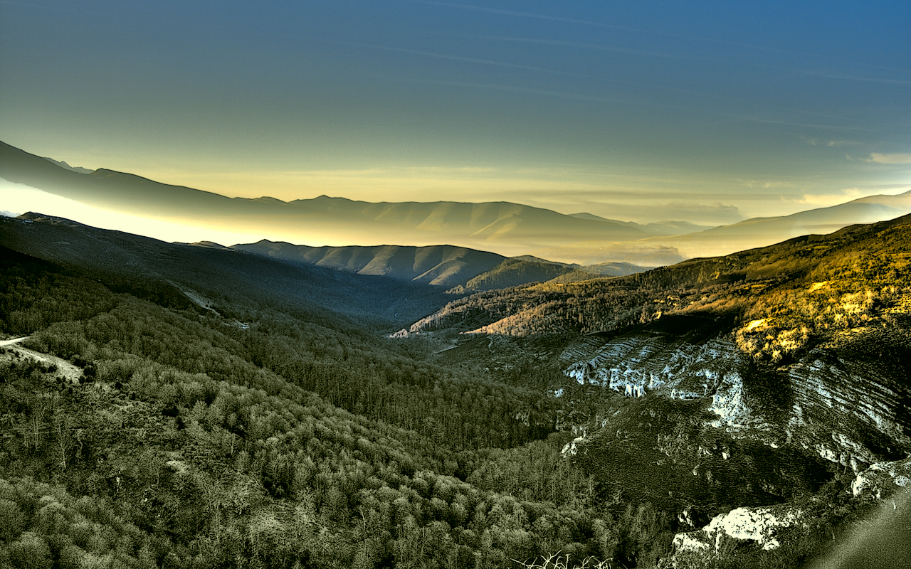
Natura 2000

Natura 2000
Other species to discover
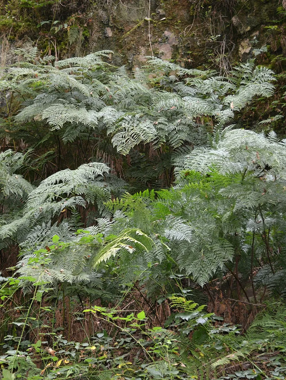 Woolly Tree Fern
Culcita macrocarpa 6 places in common
 Atlantic Canary
Serinus canaria 5 places in common
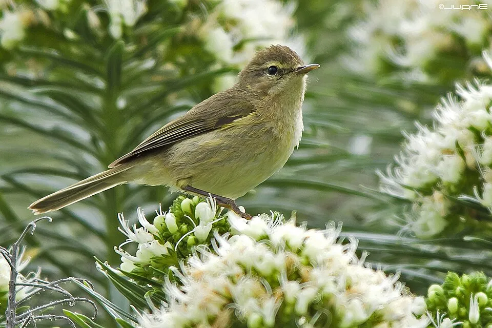 Canary Islands Chiffchaff
Phylloscopus canariensis 4 places in common
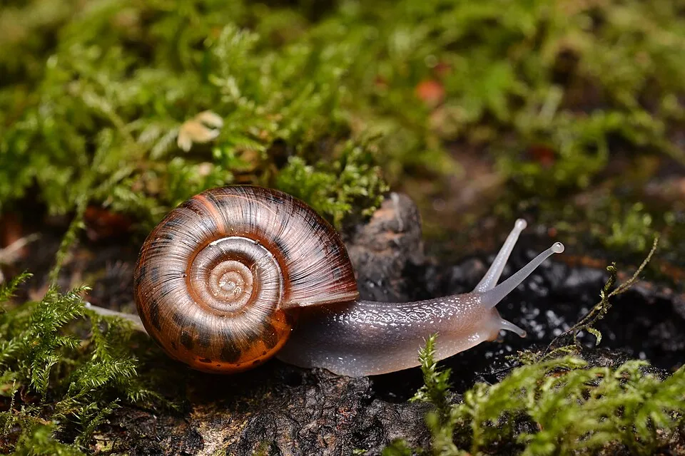 Quimper snail
Elona quimperiana 6 places in common
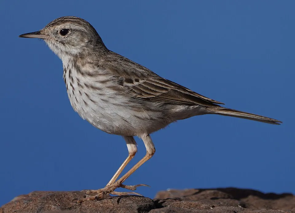 Berthelot's Pipit
Anthus berthelotii 4 places in common
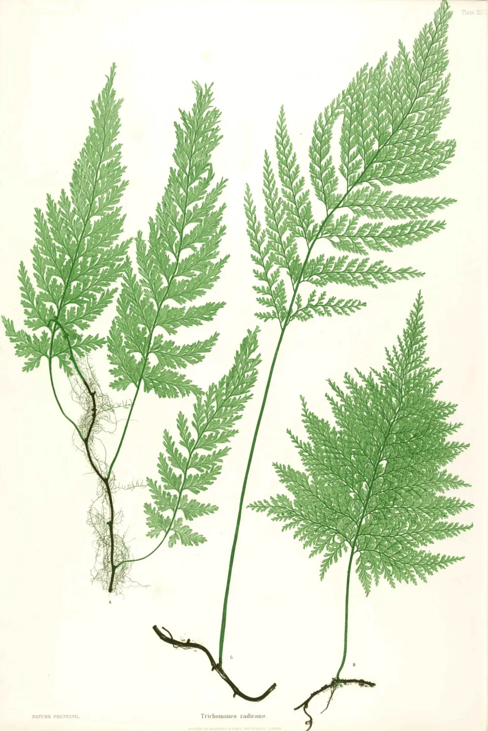 Killarney Fern
Vandenboschia speciosa 7 places in common
Sources and credits
- Presence: most-recorded species of each place on GBIF and species of Community interest in the Natura 2000 forms (EEA, CC-BY 4.0); absence from the list does not mean the species is absent.
- Common names: Wikidata (CC0) and GBIF.
- Photos and sounds: Wikimedia Commons, author and licence given for each file.
- Classification: GBIF Backbone Taxonomy (GBIF Secretariat), CC BY 4.0, doi:10.15468/39omei.
- Countries, elevations, months and maps: GBIF.org, CC0 or CC BY 4.0 occurrences only, accessed October 22, 2026, GBIF.org.
- Base map: Natural Earth (public domain).
- Excerpt: Wikipedia, CC BY-SA 4.0 (full credit below the excerpt).
- Annexes: Directive 92/43/EEC (consolidated version), © European Union, EUR-Lex.
- Conservation status: EEA / DG ENV, Article 17 Habitats Directive reporting (2013–2018), CC BY 4.0.
- Native range and life form: World Checklist of Vascular Plants, Royal Botanic Gardens, Kew, CC BY 4.0 (no endorsement by Kew).