Spain · Terrestrial
Oyambre Natural Park
Nature park of 5,783 hectares in Spain, established in 1988.
Overview
Nature park of 5,783 hectares in Spain, established in 1988.
Oyambre Natural Park is a nature park in Spain (Europe). It is a predominantly terrestrial area. Established in 1988, it covers about 5,783 hectares.
Protections and designations
Natura 2000 · habitats (SAC)
- Rias occidentales y Duna de Oyambre ES1300003
Protected as a nature park. International labels and designations: Natura 2000 network (1 site: “Rias occidentales y Duna de Oyambre”).
In our collections
Frequently asked questions
Where is Oyambre Natural Park?
In Spain (Europe). Representative point: 43.3866° N, 4.3654° W.
How large is Oyambre Natural Park?
About 5,783 hectares (58 km²). It is the 52nd largest of the 73 nature parks in Spain covered by Parkavela. About 800 ha are at sea.
When was Oyambre Natural Park established?
In 1988.
What habitats and landscapes does Oyambre Natural Park include?
A terrestrial area, with coasts.
What rocks lie beneath Oyambre Natural Park?
According to the European 1:1 million geological map (EGDI), the bedrock consists mainly of marly limestones (44% of sampled points), conglomerates and breccias (25%) and sandstones (19%). These are mostly sedimentary rocks. The geological units date mainly from the Cretaceous (44% of sampled points).
Which international labels apply to Oyambre Natural Park?
Natura 2000 network (1 site: “Rias occidentales y Duna de Oyambre”).
Are there historic monuments in Oyambre Natural Park?
Yes. According to Wikidata, 4 monuments listed as Bien de Interés Cultural stand within the boundary. For example: “Church of Santa María de los Ángeles” in San Vicente de la Barquera, “Castillo de San Vicente de la Barquera” in San Vicente de la Barquera and “Finca del Convento de San Luis” in San Vicente de la Barquera.
Can you swim in Oyambre Natural Park?
3 monitored bathing sites lie in or within 1 km of the site; official 2025 classification: 3 excellent (European Environment Agency). Swimming is only permitted at the sites and times authorised locally.
What is the nearest large city to Oyambre Natural Park?
Nearest towns of over 50,000 people, as the crow flies: Torrelavega (19 km) and Santander (41 km). Nearest airport: Santander (SDR), about 39 km away.
How can I reach Oyambre Natural Park by train?
San Vicente de la Barquera railway station lies within the site.
Where can I get visitor information on site?
Centro de Interpretación del Parque Natural de Oyambre, Oficina de Turismo de San Vicente de la Barquera and Oficina da información turística de San Vicente de la Barquera.
Are there waymarked hiking trails in Oyambre Natural Park?
Yes. Waymarked hiking routes listed in OpenStreetMap: 6, including Camino Lebaniego and Camino del Norte (Cantabria). The “CdN · Camino del Norte (Cantabria)” route runs for about 24 km through the site, with some 190 m of ascent on its longest section.
Which species can be seen in Oyambre Natural Park?
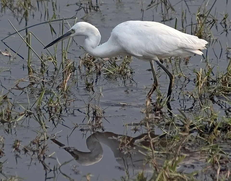
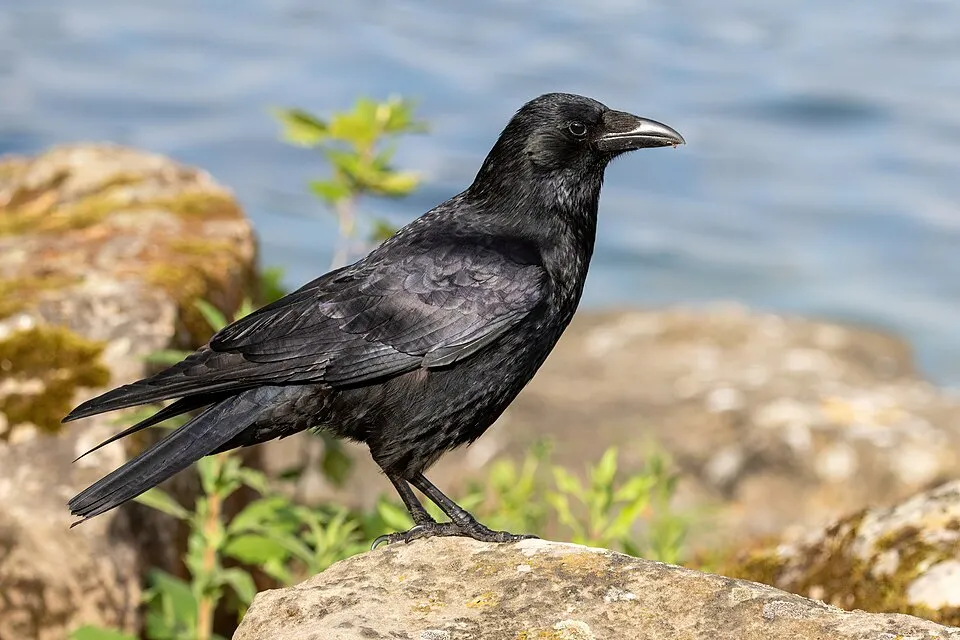
Among the species most often recorded on GBIF are Larus michahellis (Yellow-legged Gull), Egretta garzetta (Little Egret), Corvus corone (Carrion crow) and Ardea cinerea (Grey Heron).
© OpenStreetMap
Download the boundary: GeoJSON · GPX Boundary © OpenStreetMap contributors (ODbL).
Geography
According to the European 1:1 million geological map (EGDI), the bedrock consists mainly of marly limestones (44% of sampled points), conglomerates and breccias (25%) and sandstones (19%). These are mostly sedimentary rocks. The geological units date mainly from the Cretaceous (44% of sampled points).
Area
- Area
- 5,783 ha
- Mean slope
- 7°
- Coordinates
- 43.3866, -4.3654
Terrain: Mapzen Terrain Tiles (SRTM, USGS)
Bedrock
- Marly limestones 44 %
- Conglomerates and breccias 25 %
- Sandstones 19 %
- Limestones 13 %
Sedimentary rocks 100 % · Main age: Cretaceous (44%)
Source: EGDI 1:1M geological map (EuroGeoSurveys and national geological surveys), CC BY 4.0 · 16 sampled points within the site.
Natural habitats
According to CORINE Land Cover (2018), the site is mainly made up of grassland and meadows (34%), forests (20%) and farmland (15%). The site borders the coast. Elevation ranges from sea level to about 300 m (sampled elevations, SRTM). The Natura 2000 site overlapping the area lists 20 habitats of European interest (4 priority), the most extensive being mudflats and sandflats not covered by seawater at low tide, sandbanks which are slightly covered by sea water all the time and dry Atlantic coastal heaths with Erica vagans.
Biodiversity
Based on occurrences aggregated by GBIF, several species are regularly recorded within the site. Among the most frequent are Larus michahellis (Yellow-legged Gull), Egretta garzetta (Little Egret), Corvus corone (Carrion crow) and Ardea cinerea (Grey Heron). The full list of documented taxa is shown below. The overlapping Natura 2000 site lists 17 species of European interest: 8 mammals, 1 reptile, 1 amphibian, 2 fish, 3 invertebrates and 2 plants.
Habitats of European interest
From the official form of the Natura 2000 site overlapping the area (areas reported for the whole site).
- Mudflats and sandflats not covered by seawater at low tide 394 ha
- Sandbanks which are slightly covered by sea water all the time 113 ha
- Dry Atlantic coastal heaths with Erica vagans priority 72 ha
- Estuaries 47 ha
- Endemic oro-Mediterranean heaths with gorse 47 ha
- Quercus ilex and Quercus rotundifolia forests 47 ha
- Mediterranean and thermo-Atlantic halophilous scrubs (Sarcocornetea fruticosi) 36 ha
- European dry heaths 28 ha
and 12 more
Species of European interest
Mammals · 8
Barbastelle (Barbastella barbastellus), Eurasian otter (Lutra lutra), Common bent-wing bat (Miniopterus schreibersii), Bechstein's bat (Myotis bechsteinii), Lesser mouse-eared myotis (Myotis blythii), Greater mouse-eared bat (Myotis myotis), Mediterranean Horseshoe Bat (Rhinolophus euryale), Greater Horseshoe Bat (Rhinolophus ferrumequinum)
Reptiles · 1
Amphibians · 1
Invertebrates · 3
Southern damselfly (Coenagrion mercuriale), Quimper snail (Elona quimperiana), Stag beetle (Lucanus cervus)
Plants · 2
Costa Verde Male-fern (Dryopteris corleyi), Rooting chainfern (Woodwardia radicans)
Source: Natura 2000 standard data forms (EEA, CC-BY 4.0). Not exhaustive: sensitive species are not published.
Species to look out for


Observed species
Occurrences documented via GBIF; they are neither an exhaustive inventory nor proof of current presence.
- Yellow-legged Gull · Larus michahellis · 856
- Little Egret · Egretta garzetta · 750
- Carrion crow · Corvus corone · 746
- Grey Heron · Ardea cinerea · 711
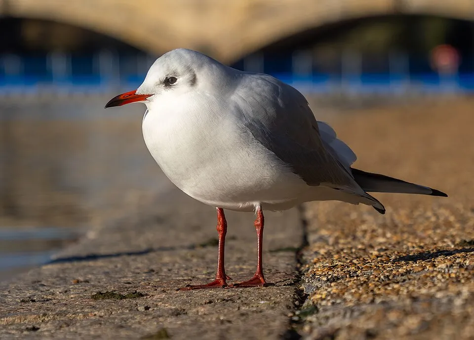
- Black-headed Gull · Chroicocephalus ridibundus · 707
- Lesser Black-backed Gull · Larus fuscus · 606
- Common Greenshank · Tringa nebularia · 579
- Common Blackbird · Turdus merula · 530
- Common Wood Pigeon · Columba palumbus · 525
- Common Sandpiper · Actitis hypoleucos · 524
- Great Cormorant · Phalacrocorax carbo · 494
- House Sparrow · Passer domesticus · 491
Records: GBIF.org (CC-BY). Names: Wikidata (CC0), GBIF. Photos: Wikimedia Commons.
Conservation challenges
The primary purpose of the site is to preserve its natural habitats and the biodiversity they support. The species recorded (Biodiversity tab) reflect its ecological value. The designations it holds frame its management and the control of land use.
According to Global Forest Change data (University of Maryland, Global Forest Watch), about 741 ha of tree cover were lost within the boundary between 2001 and 2023 (13% of its area), peaking in 2010. These losses include logging, storms and fires, and do not account for regrowth. According to the European CORINE Land Cover inventory (Copernicus), land cover changed on about 249 ha of the site between 1990 and 2018 (4% of its area): farmland shrank by 149 ha, mostly giving way to built-up land, while wetlands grew by 93 ha, mostly at the expense of forest. Forest felling and regrowth add about 430 ha in total over the period. At night, 24% of the area gives off artificial light detectable from space (NASA VIIRS Black Marble composite, 2016). Built-up and developed land (buildings, business areas, roads, quarries) covers 2% of the area, and farmland 15% (CORINE Land Cover). According to the Natura 2000 forms, of 15 assessed habitats of European interest, 2 are in excellent condition and 2 in average or reduced condition. According to the Water Framework Directive assessment (2022 river basin management plans, data 2015–2019), water bodies assessed within the site: lagoons and estuaries, 2 of 2 in good ecological status or better; coastal waters, 1 of 1 in good ecological status or better. Since 2000, 10 invasive alien species have been recorded within the site (GBIF observations), 4 of them listed as of Union concern under EU Regulation 1143/2014. Among them: Alopochen aegyptiaca (Egyptian Goose), Baccharis halimifolia (Eastern baccharis) and Delairea odorata (Cape-ivy).
Pressure indicators
Tree cover lost
741 ha
2001–2023 · 13% of the area
20012023
Fires since 2016
0
No large fire mapped (fires over about 30 ha)
Light at night
24%
of the area gives off artificial light visible from space
DarkLit
Built-up land
2%
buildings, business areas, roads, quarries · farmland 15%
Land cover change
249 ha
changed cover, 1990–2018 · CORINE · 4% of the area
- −149 ha · farmland
- +93 ha · wetlands
forest felling and regrowth: 430 ha in total
Rivers and lakes
Lagoons and estuaries: 2 of 2 good or better
Coastal waters: 1 of 1 good or better
assessments 2015–2019
Invasive alien species
10
incl. 4 of EU concern · since 2000
 Egyptian GooseEU
 Eastern baccharisEU
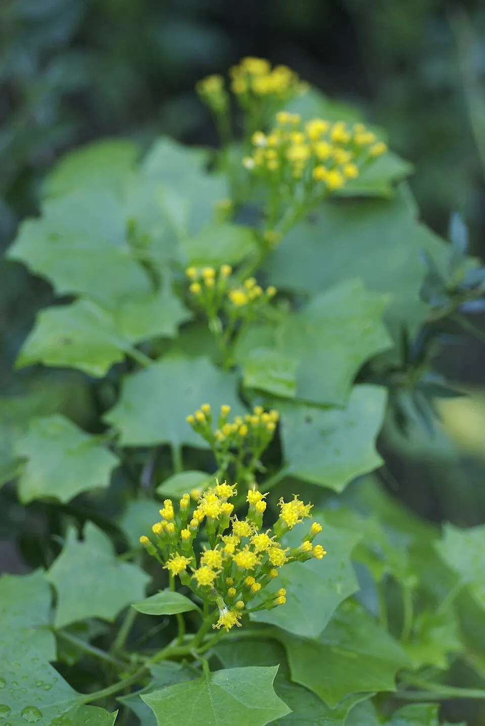 Cape-ivyEU
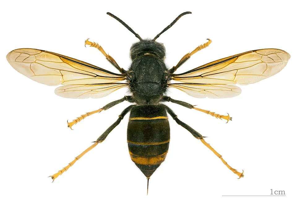 Asian hornetEU
 Pampas grass
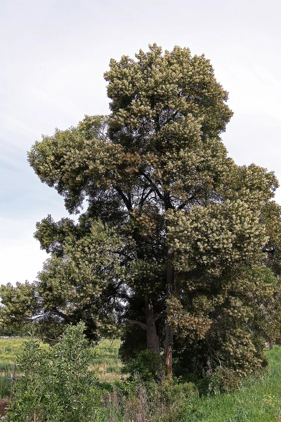 Blackwood
 Buttonweed
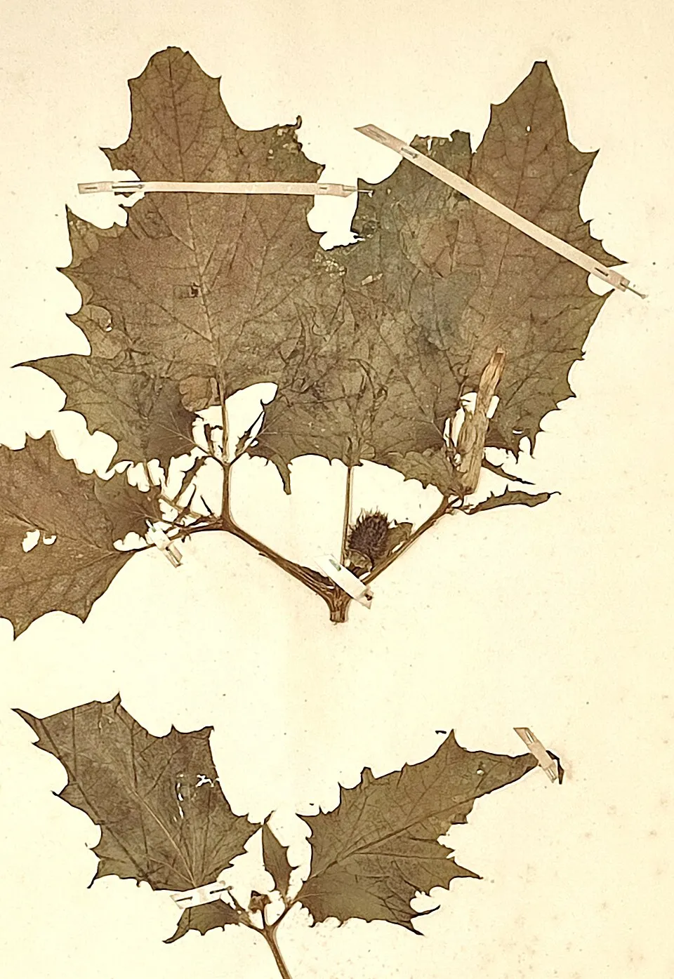 Jimsonweed
Photos: Egyptian Goose © Rhododendrites · CC BY-SA 4.0; Eastern baccharis © Jean-Jacques MILAN · CC BY-SA 3.0; Cape-ivy © Eric in SF · CC BY-SA 3.0; Asian hornet © Didier Descouens · CC BY-SA 4.0; Pampas grass © Solipsist · CC BY-SA 2.0; Blackwood © SAplants · CC BY-SA 4.0; Buttonweed © Johann Georg Sturm (Painter: Jacob Sturm) · Public domain; Jimsonweed © Giuseppe Frizzi · Public domain
Sources: Global Forest Change (Hansen et al., University of Maryland, via Global Forest Watch, CC-BY 4.0); EFFIS, European Commission / Copernicus; NASA Black Marble 2016 (public domain); CORINE Land Cover 2018 (Copernicus) or MODIS.
CORINE Land Cover Change 1990–2018: generated using European Union's Copernicus Land Monitoring Service information (EEA), aggregated by Parkavela; DOI 10.2909/f30f1000-7cf8-43bb-872c-5eb093911b24.
Ecological status of water bodies: European Environment Agency, WISE – Water Framework Directive, 3rd river basin management plans (2022), CC BY 4.0. Official national classification, not comparable between countries.
Invasive alien species: Global Register of Introduced and Invasive Species (ISSG, CC BY 4.0); Union list, Regulation (EU) 1143/2014 (INBO, CC0); GBIF.org records (CC0 / CC BY 4.0), at least 2 per species.
Practical information
Cities and airport
- Torrelavega
19 km as the crow flies - Santander
41 km as the crow flies - Airport: Santander (SDR)
39 km as the crow flies
Visitor information
- Centro de Interpretación del Parque Natural de Oyambre
within the site - Oficina de Turismo de San Vicente de la Barquera
within the site - Oficina da información turística de San Vicente de la Barquera
within the site - Oficina de Información Turística
< 1 km from the site boundary
Hiking
6 waymarked routes listed, including:
Camino LebaniegoCamino del Norte (Cantabria)
Data © OpenStreetMap contributors (ODbL) · Wikidata (CC0)
Waymarked hiking routes
CA-ENP20 Saja Nansa / El Pájaro Amarillo
10.6 km within the site ↗ 102 m↘ 98 m 2–84 m
Tracks © OpenStreetMap contributors (ODbL), clipped to the boundary; elevation gain and profiles computed on the longest section from Mapzen Terrain Tiles (≈ 30 m), indicative only.
Bathing
3 monitored bathing sites in or within 1 km of the site · 2025 classification
Excellent · 3
- Playa de Oyambre Pm1 · sea · Excellent
- Playa Sable de Meron Pm1 · sea · Excellent
- Playa Tostadero Pm1 · estuary or lagoon · Excellent
Source: European Environment Agency, official bathing water classification (Directive 2006/7/EC, CC-BY 4.0). Swimming is only permitted at the sites and times authorised locally.
Access and visiting
San Vicente de la Barquera railway station lies within the site. Nearest towns of over 50,000 people, as the crow flies: Torrelavega (19 km) and Santander (41 km). Nearest airport: Santander (SDR), about 39 km away. About 96,000 people live within 20 km of the site boundary, 22,000 of them within 10 km; some 4,600 people are estimated to live inside (GHSL estimate, 2020). Visitor information on site: Centro de Interpretación del Parque Natural de Oyambre, Oficina de Turismo de San Vicente de la Barquera and Oficina da información turística de San Vicente de la Barquera. Waymarked hiking routes listed in OpenStreetMap: 6, including Camino Lebaniego and Camino del Norte (Cantabria). To plan a visit (access, opening periods, visitor rules), it is best to consult the official information from the managing body and the official website listed in this page's sources.
Source: OpenStreetMap (ODbL), Wikidata (CC0), October 2026.
Built heritage
According to Wikidata, 4 monuments listed as Bien de Interés Cultural stand within the boundary. Examples include “Church of Santa María de los Ángeles” in San Vicente de la Barquera, “Castillo de San Vicente de la Barquera” in San Vicente de la Barquera and “Finca del Convento de San Luis” in San Vicente de la Barquera.
1 castle or fortification1 house or civic building1 religious building
-
Church of Santa María de los Ángeles
San Vicente de la Barquera -
Castillo de San Vicente de la Barquera
San Vicente de la Barquera · 13th c. -
Finca del Convento de San Luis
San Vicente de la Barquera -
Puebla Vieja de San Vicente de la Barquera
San Vicente de la Barquera
Source: Wikidata (CC0), monuments in each country’s official heritage protection registers, at national or regional level. Each item links to its Wikidata entry.
Wildlife records calendar
JFMAMJJASOND
Birds
Plants
Butterflies & moths
Monthly records published on GBIF (CC-BY), relative to the busiest month; also reflects observer activity.
Gallery
© Luis Fermín TURIEL PEREDO · CC BY-SA 4.0
© Carlos Ramón Bonilla… · CC BY-SA 3.0
© Spinor69 · CC BY-SA 4.0
© JaviComillas · CC0-1.0
© Falk2 · CC BY-SA 4.0
© Falk2 · CC BY-SA 4.0
Sources and licences
- Wikidata: Q2850290
- Wikipedia: de.wikipedia.org/wiki/Naturpark_Oyambre
- WDPA: 20949
References
- land.copernicus.eu: land cover, land cover change, sea share · COPERNICUS
- doi.org: population around the site · CC-BY-4.0
- wikidata.org: official area, establishment date, protected heritage, official name, nearby cities and airport, access and peaks, lake depths, places to see · CC0-1.0
- eea.europa.eu: bathing water quality, ecological status of waters · CC-BY-4.0
- en.eurovelo.com: EuroVelo cycle routes · ODbL-1.0
- cycling.waymarkedtrails.org: cycle routes · ODbL-1.0
- opentopodata.org: elevations · PD
- forest-fire.emergency.copernicus.eu: wildfires · COPERNICUS
- globalforestwatch.org: tree cover loss · CC-BY-4.0
- gbif.org: seasonality of sightings, invasive alien species, observed species · CC-BY-4.0
- europe-geology.eu: geology · CC-BY-4.0
- hydrosheds.org: lakes · CC-BY-4.0
- natura2000.eea.europa.eu: Natura 2000 habitats and species · CC-BY-4.0
- earthobservatory.nasa.gov: night light · PD
- openstreetmap.org: access and peaks · ODbL-1.0
- registry.opendata.aws: detailed relief · PD
- hiking.waymarkedtrails.org: route difficulty · ODbL-1.0
- nsidc.org: snow cover · PD
- wikidata.org: Wikipedia article · CC-BY-SA-4.0
Data © OpenStreetMap contributors (ODbL), Wikidata (CC0) and the sources cited.