
Mammal
Bulgaria · Terrestrial
Nature park of 22,000 hectares in Bulgaria, established in 2002.
Nature park of 22,000 hectares in Bulgaria, established in 2002.
Bulgarka Nature Park is located in Bulgaria (Europe). It is a predominantly terrestrial area. Established on 9 August 2002, it covers about 22,000 hectares.
Protected as a nature park. International labels and designations: Natura 2000 network (1 site: “Bulgarka”). Key dates: established in 2002, first Natura 2000 site under the Habitats Directive in 2008 and first Natura 2000 site under the Birds Directive in 2011.
Sources: Wikidata (CC0) for establishment and international labels; EEA Natura 2000 database (CC-BY 4.0) for site designation dates.
In Bulgaria (Europe). Representative point: 42.8200° N, 25.3400° E.
About 22,000 hectares (220 km²). It is the 6th largest of the 11 nature parks in Bulgaria covered by Parkavela.
On 9 August 2002.
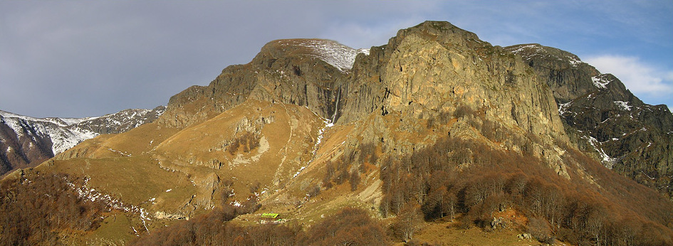
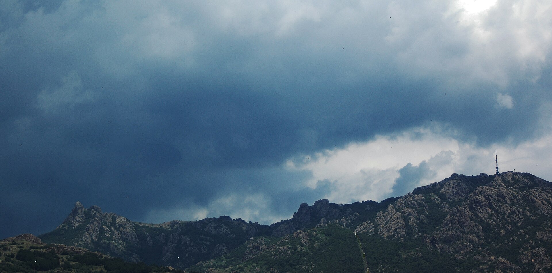
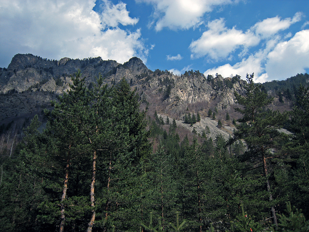
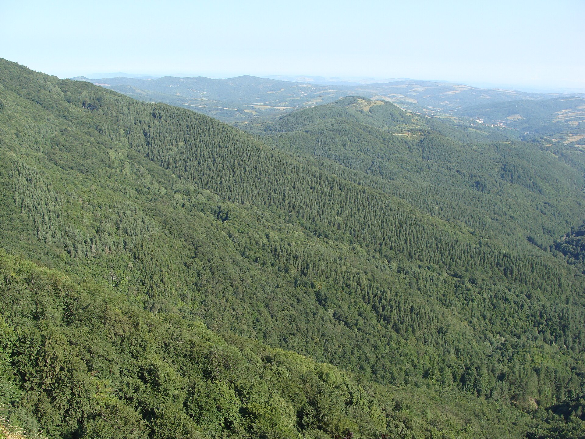
A terrestrial area, with forests and mountains.
Atovo padalo, at 1,495 m (OpenStreetMap).
Natura 2000 network (1 site: “Bulgarka”).
Best time to visit: from July to October, with average temperatures of 12 to 23 °C and moderate rainfall.
Yes. According to NASA's MODIS satellites (2015–2025 average), snow covers most of the site in January, and until February on higher ground, with about 45 snow-covered days a year on average.
2 mountain huts, including Balgarka hut and Gara Krastets (Wikidata).
Nearest towns of over 50,000 people, as the crow flies: Stara Zagora (35 km) and Sliven (57 km). Nearest airport: Plovdiv (PDV), about 81 km away.
Radevtsi railway station lies within the site.
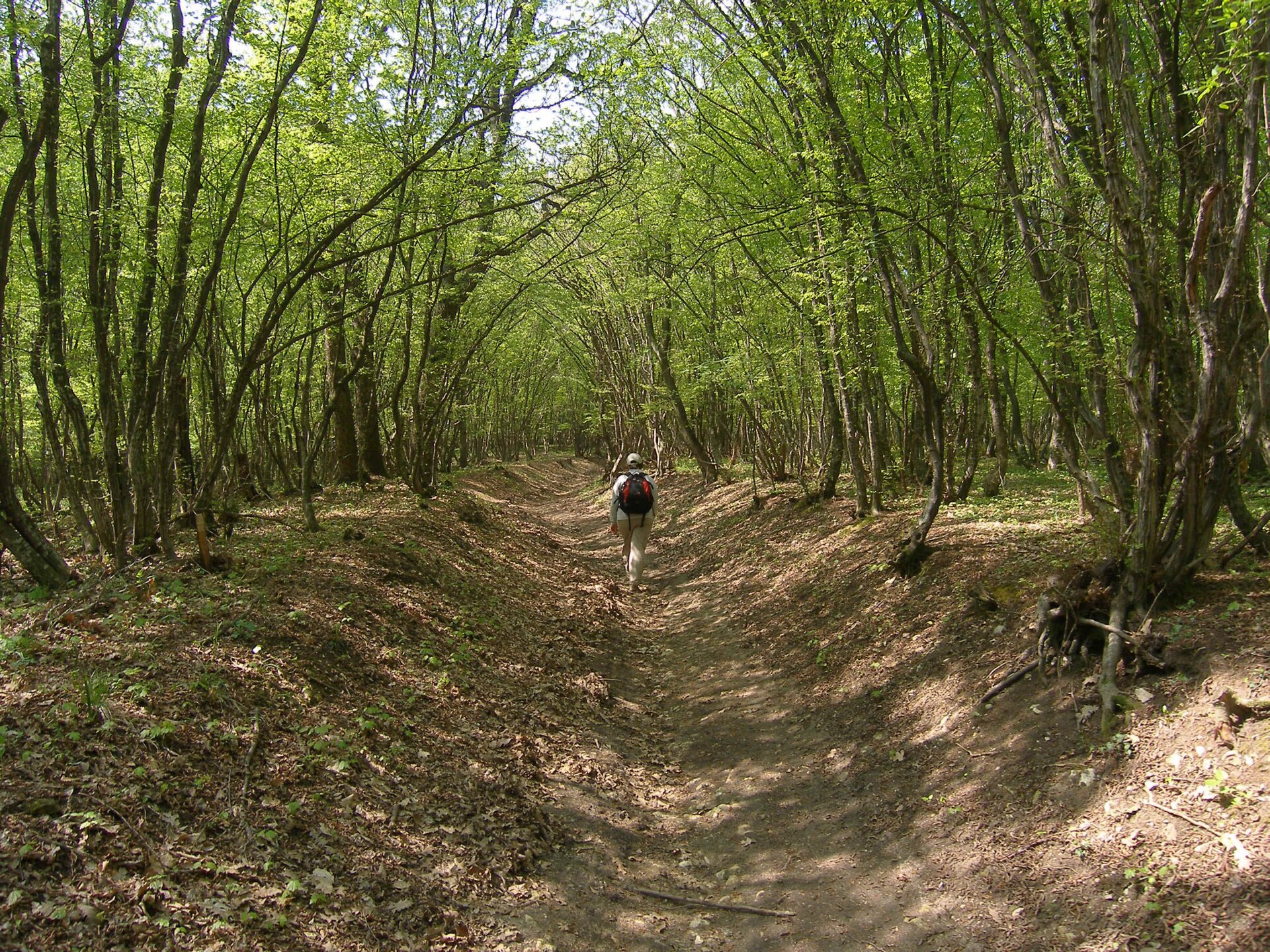
Yes. Waymarked hiking routes listed in OpenStreetMap: 11, including European long distance path. The “KE · European long distance path E3 - part Bulgaria” route runs for about 30 km through the site, with some 360 m of ascent on its longest section.
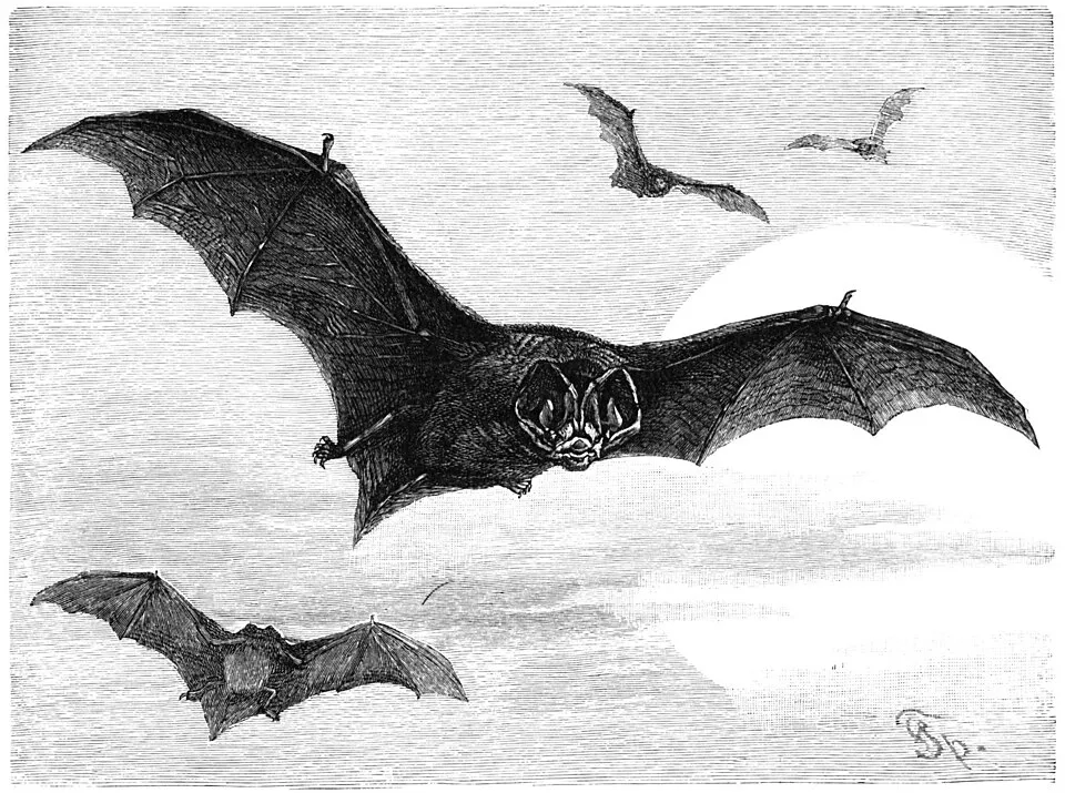
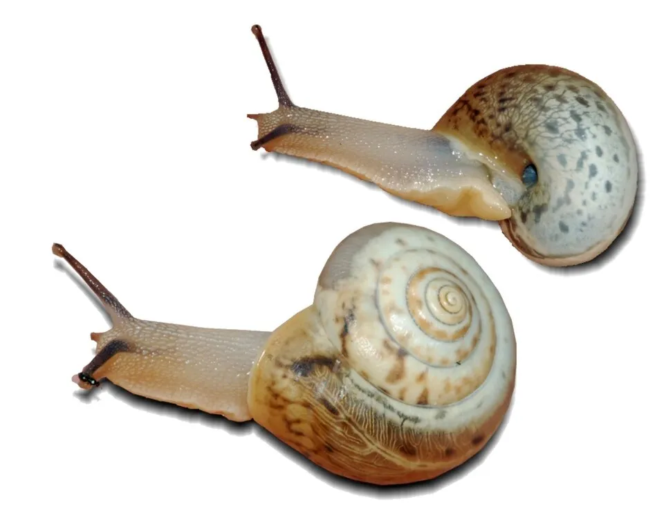
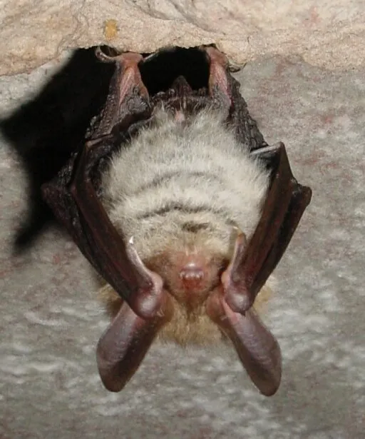
Among the species most often recorded on GBIF are Rhinolophus hipposideros (Lesser horseshoe bat), Barbastella barbastellus (Barbastelle), Monacha cartusiana (Carthusian Snail) and Myotis bechsteinii (Bechstein's bat).
© OpenStreetMap
Download the boundary: GeoJSON · GPX Boundary © OpenStreetMap contributors (ODbL).
The representative point of the site lies at around 473 m above sea level. Over the 1996–2025 period, the mean annual temperature is about 11.8 °C and total precipitation reaches roughly 918 mm per year. The warmest month is usually July, the coolest January, and the wettest May.
Terrain: Mapzen Terrain Tiles (SRTM, USGS)
share of the site in each elevation band (smoothed terrain model: summits are rounded off) · Terrain: Mapzen Terrain Tiles (SRTM, USGS)
● Mean temperature (°C) · ▮ Precipitation (mm)
Source: Copernicus ERA5-Land (C3S, doi:10.24381/cds.68d2bb30), monthly averages 1996–2025 interpolated to the representative point, temperatures adjusted for elevation.
Contains modified Copernicus Climate Change Service information 2026. Neither the European Commission nor ECMWF is responsible for any use that may be made of the Copernicus information or data it contains.
average share of the site under snow · snowiest parts · ≈ 45 days a year
Snow cover: MODIS/Terra MOD10CM v61 (Hall & Riggs, 2021, NASA NSIDC DAAC, doi:10.5067/MODIS/MOD10CM.061), imagery from NASA GIBS (ESDIS); 2015–2025 average, grid of about 5 km.
According to CORINE Land Cover (2018), the site is mainly made up of forests (85%) and farmland (9%). Woodland is mostly broadleaved. Elevation ranges from about 470 m to 1,495 m (highest point: Atovo padalo). Median elevation is 837 m, and 26% of the site lies above 1,000 m (SRTM elevation model). The terrain is steep: 57% of slopes exceed 15° (mean slope 17°). The Natura 2000 site overlapping the area lists 26 habitats of European interest (5 priority), the most extensive being Medio-European limestone beech forests of the Cephalanthero-Fagion, Moesian beech forests and Asperulo-Fagetum beech forests.
Based on occurrences aggregated by GBIF, several species are regularly recorded within the site. Among the most frequent are Rhinolophus hipposideros (Lesser horseshoe bat), Barbastella barbastellus (Barbastelle), Monacha cartusiana (Carthusian Snail) and Myotis bechsteinii (Bechstein's bat). The full list of documented taxa is shown below. The overlapping Natura 2000 site lists 86 species of European interest: 48 birds, 18 mammals, 4 reptiles, 3 amphibians, 2 fish, 7 invertebrates and 4 plants.
From the official form of the Natura 2000 site overlapping the area (areas reported for the whole site).
and 18 more
Levant Sparrowhawk (Accipiter brevipes) breeding passage, Eurasian Goshawk (Accipiter gentilis) breeding, Eurasian Sparrowhawk (Accipiter nisus) breeding, Boreal Owl (Aegolius funereus) resident, Common Kingfisher (Alcedo atthis) resident, Alectoris graeca graeca breeding, Golden Eagle (Aquila chrysaetos) resident, Eastern Imperial Eagle (Aquila heliaca) passage, Great Egret (Ardea alba) wintering passage, Hazel Grouse (Bonasa bonasia) resident, Eurasian Eagle-owl (Bubo bubo) resident, Common Buzzard (Buteo buteo) passage resident and 36 more
Barbastelle (Barbastella barbastellus), Grey wolf (Canis lupus), European wildcat (Felis silvestris), Eurasian otter (Lutra lutra), Eurasian Lynx (Lynx lynx), European pine marten (Martes martes), Common bent-wing bat (Miniopterus schreibersii), Bechstein's bat (Myotis bechsteinii), Lesser mouse-eared myotis (Myotis blythii), Long-fingered bat (Myotis capaccinii), Geoffroy's bat (Myotis emarginatus), Greater mouse-eared bat (Myotis myotis) and 6 more
Aesculapian snake (Elaphe longissima), European Pond Turtle (Emys orbicularis), Common Tortoise (Testudo graeca), Hermann's tortoise (Testudo hermanni)
Yellow-bellied toad (Bombina variegata), Agile frog (Rana dalmatina), Southern crested newt (Triturus karelinii)
Stone crayfish (Austropotamobius torrentium), Greater Capricorn Beetle (Cerambyx cerdo), Jersey Tiger (Euplagia quadripunctaria), Stag beetle (Lucanus cervus), Large Blue (Maculinea arion), Morimus asper funereus, Rosalia longicorn (Rosalia alpina)
Dicranum moss (Dicranum viride), Echium russicum, Himantoglossum jankae, Leucobryum moss (Leucobryum glaucum)
Source: Natura 2000 standard data forms (EEA, CC-BY 4.0). Not exhaustive: sensitive species are not published.
Mammal
Mammal
9 records © Parc naturel régional des Vosges du Nord · Public domain
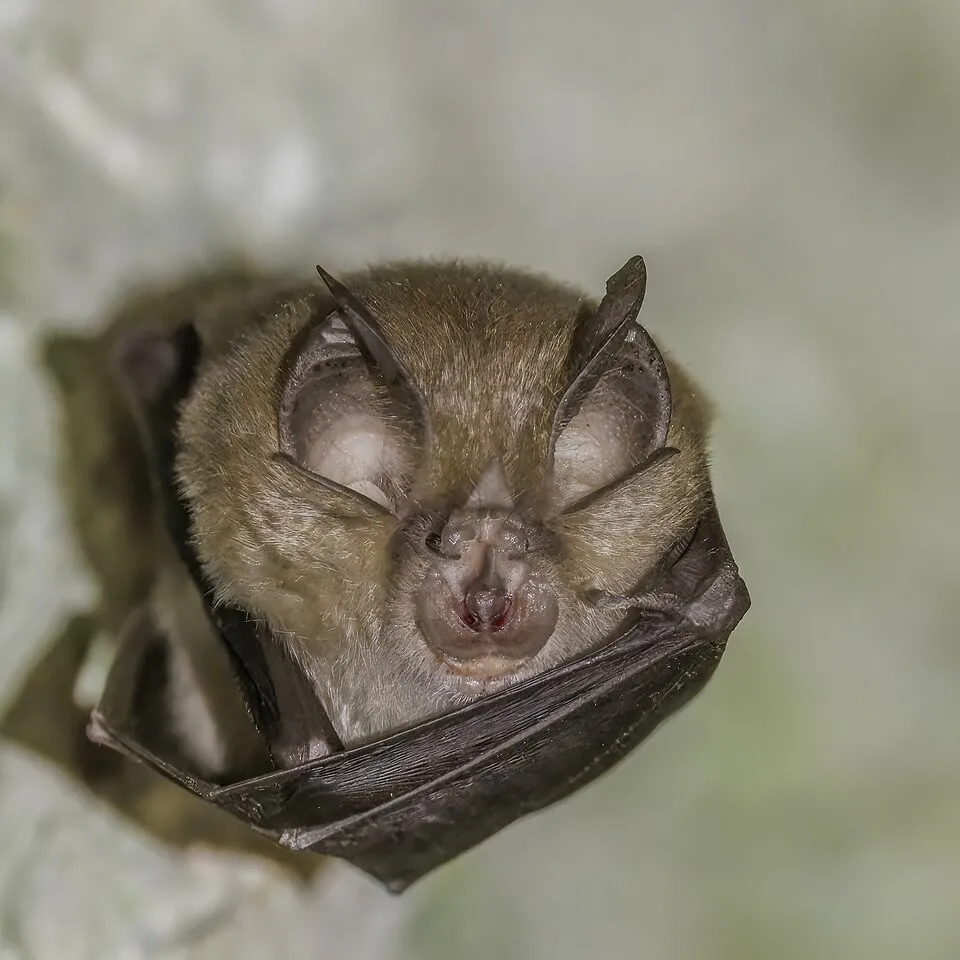
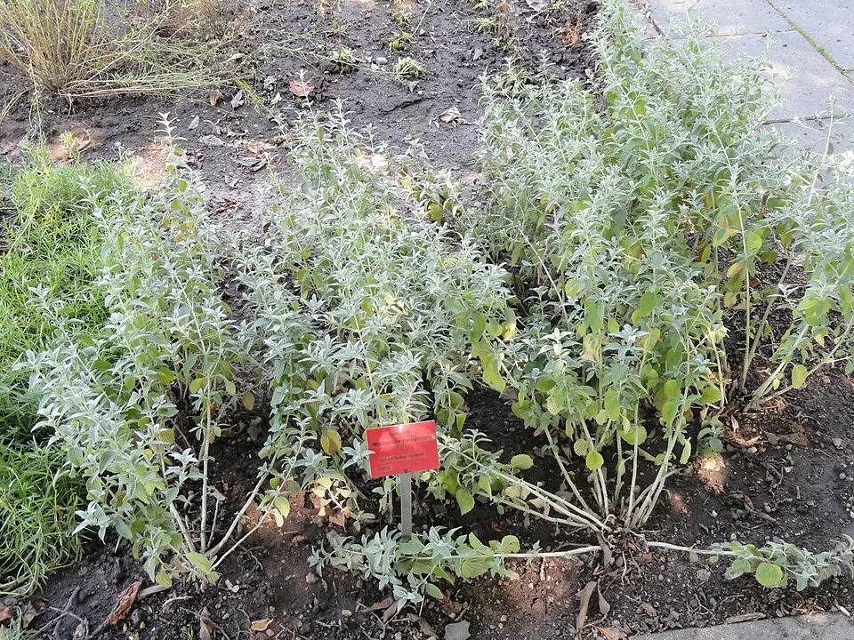
Occurrences documented via GBIF; they are neither an exhaustive inventory nor proof of current presence.
Records: GBIF.org (CC-BY). Names: Wikidata (CC0), GBIF. Photos: Wikimedia Commons.
The primary purpose of the site is to preserve its natural habitats and the biodiversity they support. The species recorded (Biodiversity tab) reflect its ecological value. The designations it holds frame its management and the control of land use.
According to Global Forest Change data (University of Maryland, Global Forest Watch), about 301 ha of tree cover were lost within the boundary between 2001 and 2023 (1% of its area), peaking in 2005 and 2016. These losses include logging, storms and fires, and do not account for regrowth. According to CORINE Land Cover, land cover here remained almost unchanged between 1990 and 2018 (less than 0.5% of the area affected). At night, the area gives off virtually no artificial light detectable from space (NASA VIIRS Black Marble composite, 2016). According to the Natura 2000 forms, of 20 assessed habitats of European interest, 6 are in excellent condition and 6 in average or reduced condition. According to the Water Framework Directive assessment (2022 river basin management plans, data 2015–2021), 71% of the 142 km of rivers assessed within the site are in good or high ecological status. Other assessed water bodies: lakes, 1 of 1 in good ecological status or better.
301 ha
2001–2023 · 1% of the area
0
No large fire mapped (fires over about 30 ha)
0%
of the area gives off artificial light visible from space
< 1%
buildings, business areas, roads, quarries · farmland 9%
< 0.5%
of the area changed, 1990–2018 · CORINE
71%
of the 142 km of assessed rivers in good or high ecological status · WFD 2022
Lakes: 1 of 1 good or better
assessments 2015–2021
Sources: Global Forest Change (Hansen et al., University of Maryland, via Global Forest Watch, CC-BY 4.0); EFFIS, European Commission / Copernicus; NASA Black Marble 2016 (public domain); CORINE Land Cover 2018 (Copernicus) or MODIS.
CORINE Land Cover Change 1990–2018: generated using European Union's Copernicus Land Monitoring Service information (EEA), aggregated by Parkavela; DOI 10.2909/f30f1000-7cf8-43bb-872c-5eb093911b24.
Ecological status of water bodies: European Environment Agency, WISE – Water Framework Directive, 3rd river basin management plans (2022), CC BY 4.0. Official national classification, not comparable between countries.
11 waymarked routes listed, including:
Data © OpenStreetMap contributors (ODbL) · Wikidata (CC0)
Tracks © OpenStreetMap contributors (ODbL), clipped to the boundary; elevation gain and profiles computed on the longest section from Mapzen Terrain Tiles (≈ 30 m), indicative only.
Radevtsi railway station lies within the site. Nearest towns of over 50,000 people, as the crow flies: Stara Zagora (35 km) and Sliven (57 km). Nearest airport: Plovdiv (PDV), about 81 km away. About 180,000 people live within 20 km of the site boundary, 75,000 of them within 10 km; some 1,500 people are estimated to live inside (GHSL estimate, 2020). This population has fallen by about 24% since 2000. Waymarked hiking routes listed in OpenStreetMap: 11, including European long distance path. Where to stay: 2 mountain huts, including Balgarka hut and Gara Krastets. To plan a visit (access, opening periods, visitor rules), it is best to consult the official information from the managing body and the official website listed in this page's sources.
Source: OpenStreetMap (ODbL), Wikidata (CC0), October 2026.
Best time to visit: from July to October, with average temperatures of 12 to 23 °C and moderate rainfall. Precipitation peaks in May (up to 120 mm per month). These averages apply to the site's representative point (473 m); higher up it is markedly cooler. According to NASA's MODIS satellites (2015–2025 average), snow covers most of the site in January, and until February on higher ground, with about 45 snow-covered days a year on average. Day length ranges from about 9 h 02 min in December to 15 h 19 min in June. Wildlife records published on GBIF peak for birds (May) and plants (July and August). These peaks also reflect when observers are most active.
Source: Copernicus ERA5-Land (C3S), monthly averages 1996–2025 at the representative point, temperatures adjusted for elevation.
Contains modified Copernicus Climate Change Service information 2026. Neither the European Commission nor ECMWF is responsible for any use that may be made of the Copernicus information or data it contains.
Monthly records published on GBIF (CC-BY), relative to the busiest month; also reflects observer activity.
Data © OpenStreetMap contributors (ODbL), Wikidata (CC0) and the sources cited.