
Mexico · Marine
Cabo Pulmo National Park
National park of 7,111 hectares in Mexico, established in 1995.
Overview
National park of 7,111 hectares in Mexico, established in 1995.
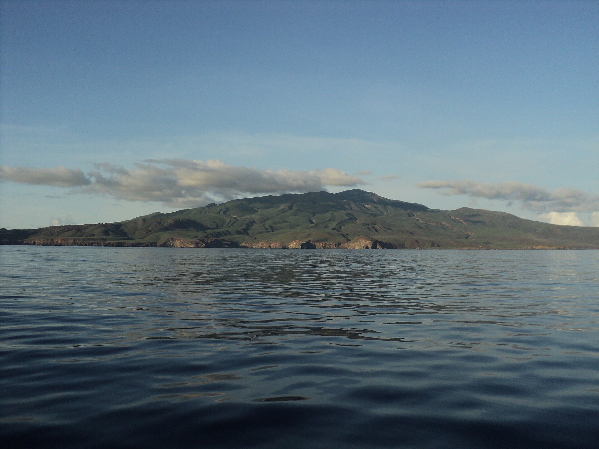
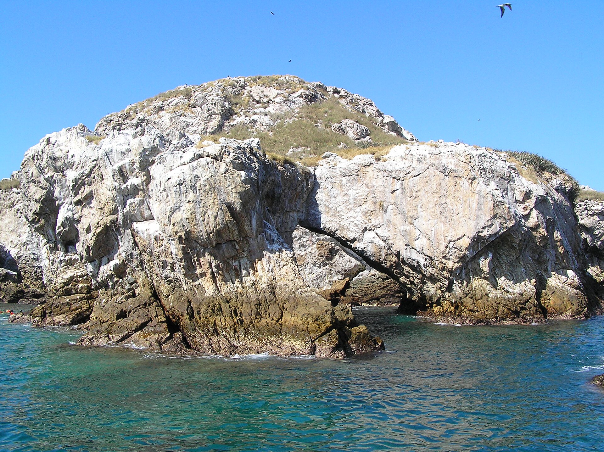
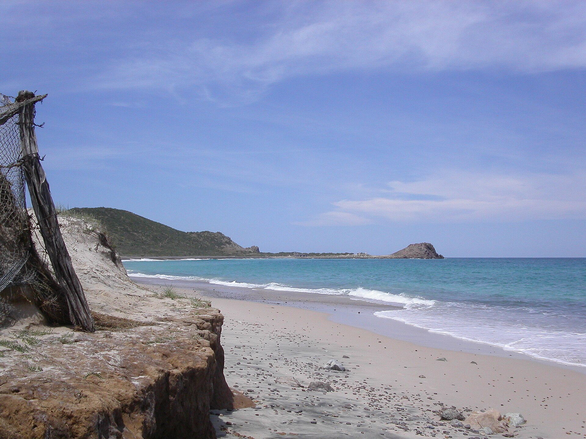
Cabo Pulmo National Park is located in Mexico (North America). It is a predominantly marine area. Established on 6 June 1995, it covers about 7,111 hectares.
Protections and designations
UNESCO World Heritage
Ramsar site
Protected as a national park. International labels and designations: UNESCO World Heritage (“Islands and Protected Areas of the Gulf of California”) and Ramsar site. Key dates: established in 1995, World Heritage listing in 2005 and Ramsar Site in 2008.
In our collections
Timeline
-
1995
Established
-
2005
Inscribed as a UNESCO World Heritage Site Islands and Protected Areas of the Gulf of California
-
2008
Ramsar Site (wetland of international importance) Cabo Pulmo National Park
Sources: Wikidata (CC0) for establishment and international labels; EEA Natura 2000 database (CC-BY 4.0) for site designation dates.
Frequently asked questions
Where is Cabo Pulmo National Park?
In Mexico (North America). Representative point: 23.4467° N, 109.4067° W.
How large is Cabo Pulmo National Park?
About 7,111 hectares (71 km²). It is the 22nd largest of the 52 national parks in Mexico covered by Parkavela. About 6,500 ha are at sea.
When was Cabo Pulmo National Park established?
On 6 June 1995.
What habitats and landscapes does Cabo Pulmo National Park include?
A marine area, with coasts and coral reefs.
Which international labels apply to Cabo Pulmo National Park?
UNESCO World Heritage (“Islands and Protected Areas of the Gulf of California”) and Ramsar site.
When is the best time to visit Cabo Pulmo National Park?
Best time to visit: the dry season, from March to May, with less than 10 mm of rain per month.
What is the nearest large city to Cabo Pulmo National Park?
Nearest towns of over 50,000 people, as the crow flies: San José del Cabo (45 km) and Cabo San Lucas (73 km). Nearest airport: Los Cabos (SJD), about 38 km away.
Which species can be seen in Cabo Pulmo National Park?
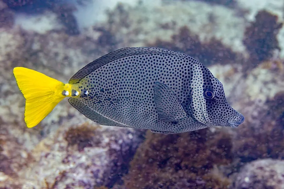
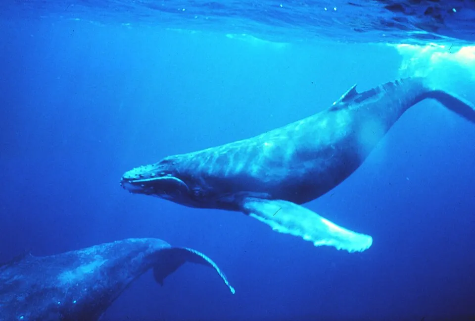
Among the species most often recorded on GBIF are Mycteroperca rosacea (Leopard grouper), Pelecanus occidentalis (Brown pelican), Prionurus laticlavius (Razor Surgeonfish) and Megaptera novaeangliae (Humpback whale).
© OpenStreetMap
Download the boundary: GeoJSON · GPX Boundary © OpenStreetMap contributors (ODbL).
Geography
Over the 1996–2025 period, the mean annual temperature is about 25.8 °C and total precipitation reaches roughly 305 mm per year. The warmest month is usually July, the coolest January, and the wettest September.
Area
- Area
- 7,111 ha
- Coordinates
- 23.4467, -109.4067
Climate
● Mean temperature (°C) · ▮ Precipitation (mm)
Source: Copernicus ERA5-Land (C3S, doi:10.24381/cds.68d2bb30), monthly averages 1996–2025 interpolated to the representative point, temperatures adjusted for elevation.
Contains modified Copernicus Climate Change Service information 2026. Neither the European Commission nor ECMWF is responsible for any use that may be made of the Copernicus information or data it contains.
Natural habitats
The sea covers about 92% of the site. The seabed reaches about 281 m deep (median depth 31 m; GEBCO bathymetry). Reef-building corals are documented in the area: 244 records published on GBIF.
Biodiversity
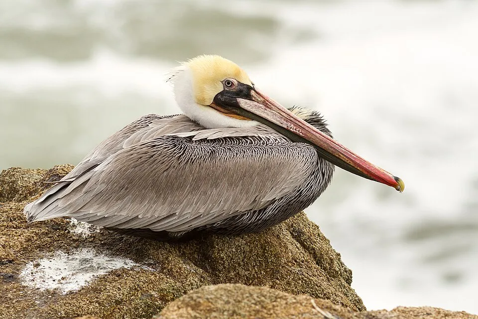
Based on occurrences aggregated by GBIF, several species are regularly recorded within the site. Among the most frequent are Mycteroperca rosacea (Leopard grouper), Pelecanus occidentalis (Brown pelican), Prionurus laticlavius (Razor Surgeonfish) and Megaptera novaeangliae (Humpback whale). The full list of documented taxa is shown below.
Species to look out for
Observed species
Occurrences documented via GBIF; they are neither an exhaustive inventory nor proof of current presence.
- Leopard grouper · Mycteroperca rosacea · 90
- Brown pelican · Pelecanus occidentalis · 85
- Razor Surgeonfish · Prionurus laticlavius · 72
- Humpback whale · Megaptera novaeangliae · 71
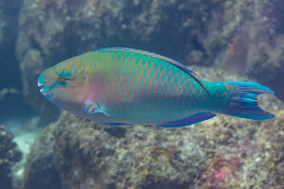
- Blue-barred Parrotfish · Scarus ghobban · 64
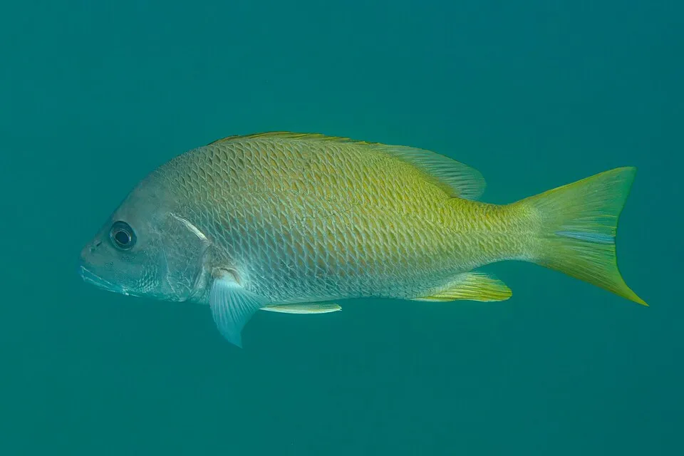
- Yellow Snapper · Lutjanus argentiventris · 61
- Guineafowl Puffer · Arothron meleagris · 61
- Cortez Rainbow Wrasse · Thalassoma lucasanum · 58
- Panama sergeant major · Abudefduf troschelii · 55
- Bigeye trevally · Caranx sexfasciatus · 52
- Turkey Vulture · Cathartes aura · 51
- Yellowfin Surgeonfish · Acanthurus xanthopterus · 47
+18 more species
- Graybar grunt · Haemulon sexfasciatum · 46
- Mexican hogfish · Bodianus diplotaenia · 41
- Ember parrotfish · Scarus rubroviolaceus · 40
- Orangeside triggerfish · Sufflamen verres · 39
- Moorish idol · Zanclus cornutus · 37
- Osprey · Pandion haliaetus · 37
- Panamic Fanged Blenny · Ophioblennius steindachneri · 37
- Bumphead Parrotfish · Scarus perrico · 36
- Passer Angelfish · Holacanthus passer · 35
- Starry Grouper · Epinephelus labriformis · 32
- Brandt's Cormorant · Urile penicillatus · 31
- Panama Porkfish · Anisotremus taeniatus · 31
- Sunset wrasse · Thalassoma grammaticum · 30
- Mexican Goatfish · Mulloidichthys dentatus · 27
- Magnificent frigatebird · Fregata magnificens · 26
- Long-spine porcupinefish · Diodon holocanthus · 26
- Scissortail damselfish · Chromis atrilobata · 25
- Cauliflower coral · Pocillopora verrucosa · 24
Records: GBIF.org (CC-BY). Names: Wikidata (CC0), GBIF. Photos: Wikimedia Commons.
Conservation challenges
The primary purpose of the site is to preserve its natural habitats and the biodiversity they support. The species recorded (Biodiversity tab) reflect its ecological value. The designations it holds frame its management and the control of land use.
Pressure indicators
Invasive alien species
2
recorded since 2000
 House Sparrow
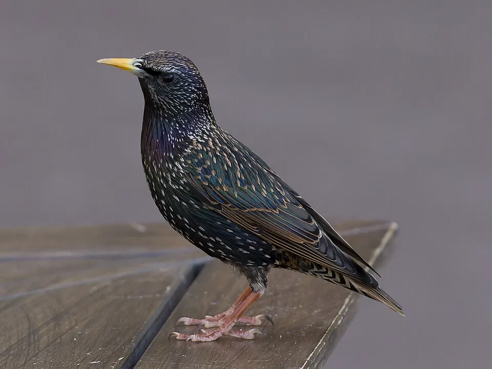 Common Starling
Photos: House Sparrow © Diliff · CC BY-SA 3.0; Common Starling © PierreSelim · CC BY-SA 3.0
Sources: Global Forest Change (Hansen et al., University of Maryland, via Global Forest Watch, CC-BY 4.0); EFFIS, European Commission / Copernicus; NASA Black Marble 2016 (public domain); CORINE Land Cover 2018 (Copernicus) or MODIS.
Invasive alien species: Global Register of Introduced and Invasive Species (ISSG, CC BY 4.0); Union list, Regulation (EU) 1143/2014 (INBO, CC0); GBIF.org records (CC0 / CC BY 4.0), at least 2 per species.
Practical information
Cities and airport
- San José del Cabo
45 km as the crow flies - Cabo San Lucas
73 km as the crow flies - Airport: Los Cabos (SJD)
38 km as the crow flies
Data © OpenStreetMap contributors (ODbL) · Wikidata (CC0)
Access and visiting
Nearest towns of over 50,000 people, as the crow flies: San José del Cabo (45 km) and Cabo San Lucas (73 km). Nearest airport: Los Cabos (SJD), about 38 km away. Fewer than 5,000 people live within 20 km of the site boundary, a very sparsely populated area (GHSL estimate, 2020). To plan a visit (access, opening periods, visitor rules), it is best to consult the official information from the managing body and the official website listed in this page's sources.
Source: OpenStreetMap (ODbL), Wikidata (CC0), November 2026.
When to visit
Best time to visit: the dry season, from March to May, with less than 10 mm of rain per month. Precipitation peaks in August and September (up to 130 mm per month). Day length ranges from about 10 h 42 min in December to 13 h 34 min in June. Wildlife records published on GBIF peak for birds (February), plants (December) and mammals (January and February). These peaks also reflect when observers are most active.
Source: Copernicus ERA5-Land (C3S), monthly averages 1996–2025 at the representative point, temperatures adjusted for elevation.
Contains modified Copernicus Climate Change Service information 2026. Neither the European Commission nor ECMWF is responsible for any use that may be made of the Copernicus information or data it contains.
Wildlife records calendar
JFMAMJJASOND
Birds
Plants
Mammals
Monthly records published on GBIF (CC-BY), relative to the busiest month; also reflects observer activity.
Gallery
© John Markos O'Neill from San Francisco, California · CC BY-SA 2.0
© Nick Bonzey from Corvallis, OR · CC BY-SA 2.0
© Toedrifter · Public domain
© Ken-ichi Ueda · CC BY 4.0
© with : © Peter Potrowl in the immediate vicinity of the image · CC BY-SA 4.0
© panza.rayada · CC BY-SA 3.0
Sources and licences
- Wikidata: Q3364404
- Wikipedia: en.wikipedia.org/wiki/Cabo_Pulmo_National_Park
- WDPA: 306779
References
- cds.climate.copernicus.eu: climate · CC-BY-4.0
- registry.opendata.aws: elevation of the reference point · PD
- lpdaac.usgs.gov: land cover · PD
- doi.org: population around the site · CC-BY-4.0
- naturalearthdata.com: sea share · PD
- wikidata.org: official area, establishment date, protected heritage, nearby cities and airport, access and peaks, places to see · CC0-1.0
- gbif.org: coral records, seasonality of sightings, invasive alien species, observed species · CC-BY-4.0
- gebco.net: depths · PD
- opentopodata.org: elevations · PD
- openstreetmap.org: official name, access and peaks, trail difficulty · ODbL-1.0
- wikidata.org: Wikipedia article · CC-BY-SA-4.0
Data © OpenStreetMap contributors (ODbL), Wikidata (CC0) and the sources cited.