Mexico · Marine
Revillagigedo National Park
National park of 14,808,780 hectares in Mexico, established in 2017.
Overview
National park of 14,808,780 hectares in Mexico, established in 2017.
Revillagigedo National Park is located in Mexico (North America). It is a predominantly marine area. Established on 27 November 2017, it covers about 14,808,780 hectares. The site is managed by National Commission of Protected Natural Areas.
Protections and designations
UNESCO World Heritage
Ramsar site
Protected as a national park. International labels and designations: UNESCO World Heritage (“Revillagigedo Islands”) and Ramsar site (“Revillagigedo Islands”). Key dates: Ramsar Site in 2004, World Heritage listing in 2016 and established in 2017.
In our collections
Timeline
-
2004
Ramsar Site (wetland of international importance) Revillagigedo Islands
-
2016
Inscribed as a UNESCO World Heritage Site Revillagigedo Islands
-
2017
Established
Sources: Wikidata (CC0) for establishment and international labels; EEA Natura 2000 database (CC-BY 4.0) for site designation dates.
Frequently asked questions
Where is Revillagigedo National Park?
In Mexico (North America). Representative point: 18.8214° N, 112.7639° W.
How large is Revillagigedo National Park?
About 14,808,780 hectares (148,088 km²). It is the largest of the 52 national parks in Mexico covered by Parkavela.
When was Revillagigedo National Park established?
On 27 November 2017.
What habitats and landscapes does Revillagigedo National Park include?
A marine area, with coral reefs.
Which international labels apply to Revillagigedo National Park?
UNESCO World Heritage (“Revillagigedo Islands”) and Ramsar site (“Revillagigedo Islands”).
When is the best time to visit Revillagigedo National Park?
Best time to visit: the dry season, from February to April, with less than 10 mm of rain per month.
Which species can be seen in Revillagigedo National Park?
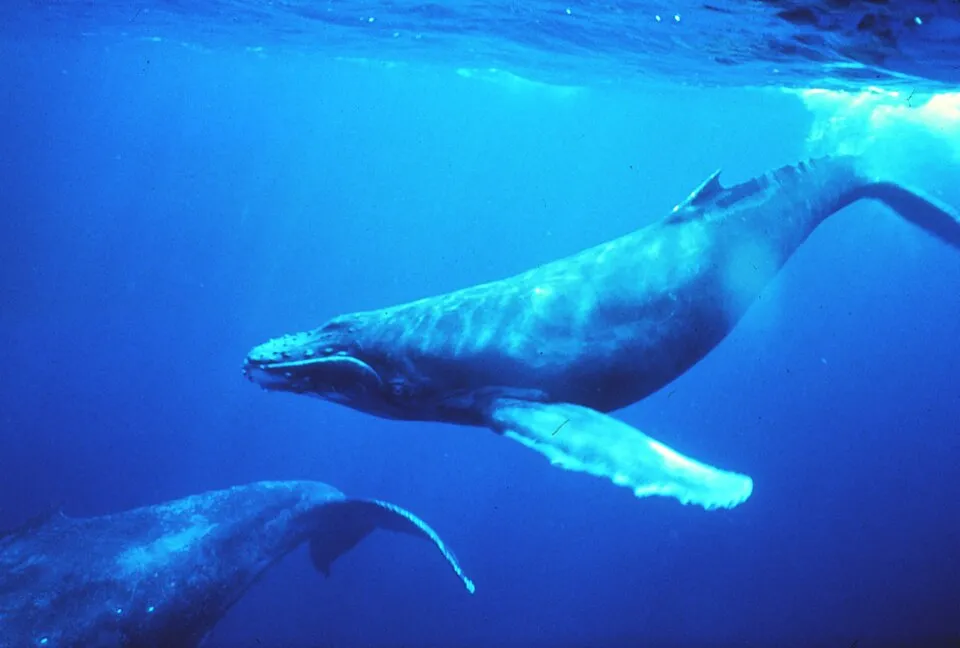
Among the species most often recorded on GBIF are Megaptera novaeangliae (Humpback whale), Urosaurus clarionensis (Clarion Island Tree Lizard), Urosaurus auriculatus (Socorro blue lizard) and Xanthichthys mento (Redtail Triggerfish).
Who manages Revillagigedo National Park?
National Commission of Protected Natural Areas.
© OpenStreetMap
Download the boundary: GeoJSON · GPX Boundary © OpenStreetMap contributors (ODbL).
Geography
Over the 1996–2025 period, the mean annual temperature is about 23.9 °C and total precipitation reaches roughly 438 mm per year. The warmest month is usually August, the coolest March, and the wettest August.
Area
- Area
- 14,808,780 ha
- Coordinates
- 18.8214, -112.7639
Climate
● Mean temperature (°C) · ▮ Precipitation (mm)
Source: Copernicus ERA5 (C3S, doi:10.24381/cds.f17050d7), monthly averages 1996–2025 interpolated to the representative point, temperatures adjusted for elevation.
Contains modified Copernicus Climate Change Service information 2026. Neither the European Commission nor ECMWF is responsible for any use that may be made of the Copernicus information or data it contains.
Natural habitats
The site is almost entirely marine. The seabed reaches about 3,853 m deep (median depth 3,401 m; GEBCO bathymetry). Reef-building corals are documented in the area: 1,065 records published on GBIF.
Biodiversity
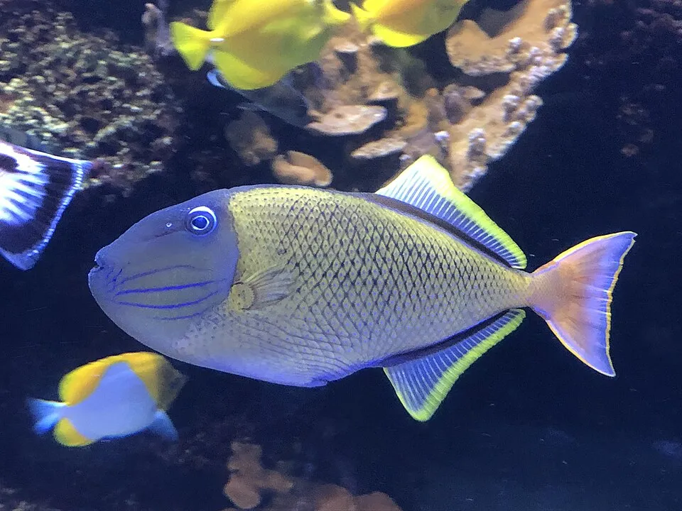
Based on occurrences aggregated by GBIF, several species are regularly recorded within the site. Among the most frequent are Megaptera novaeangliae (Humpback whale), Urosaurus clarionensis (Clarion Island Tree Lizard), Urosaurus auriculatus (Socorro blue lizard) and Xanthichthys mento (Redtail Triggerfish). The full list of documented taxa is shown below.
Species to look out for
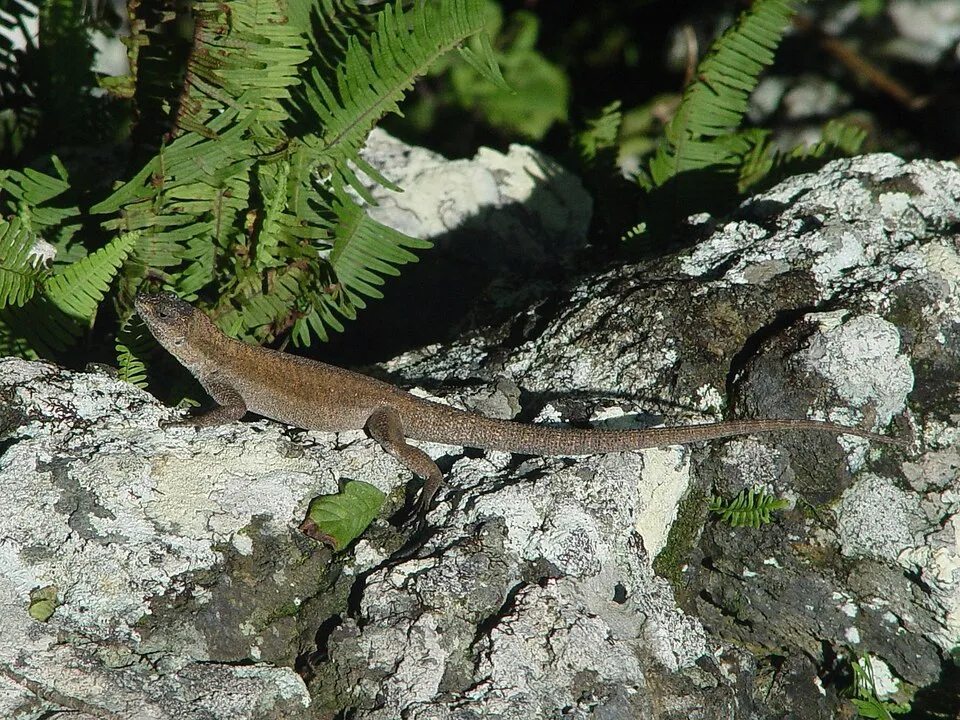
Reptile
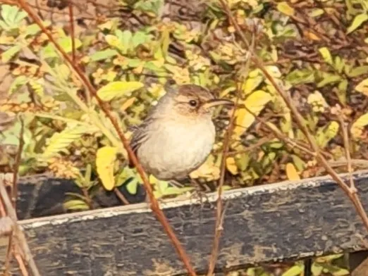
Socorro blue lizard
Urosaurus auriculatus408 records © Martín Sánchez Vilchis · CC BY-SA 4.0
Observed species
Occurrences documented via GBIF; they are neither an exhaustive inventory nor proof of current presence.
- Humpback whale · Megaptera novaeangliae · 743
- Clarion Island Tree Lizard · Urosaurus clarionensis · 563
- Socorro blue lizard · Urosaurus auriculatus · 408
- Redtail Triggerfish · Xanthichthys mento · 397
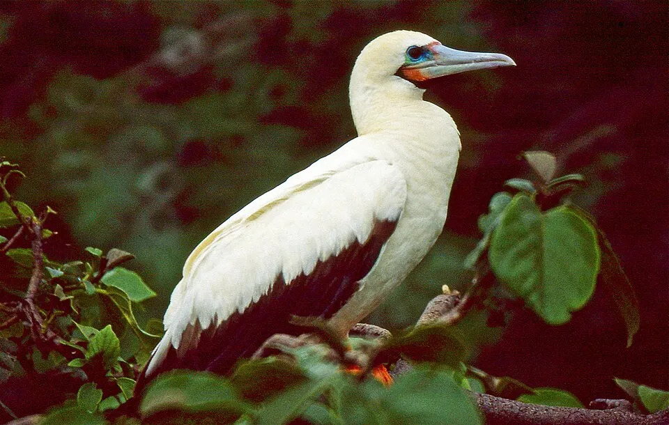
- Red-footed Booby · Sula sula · 386
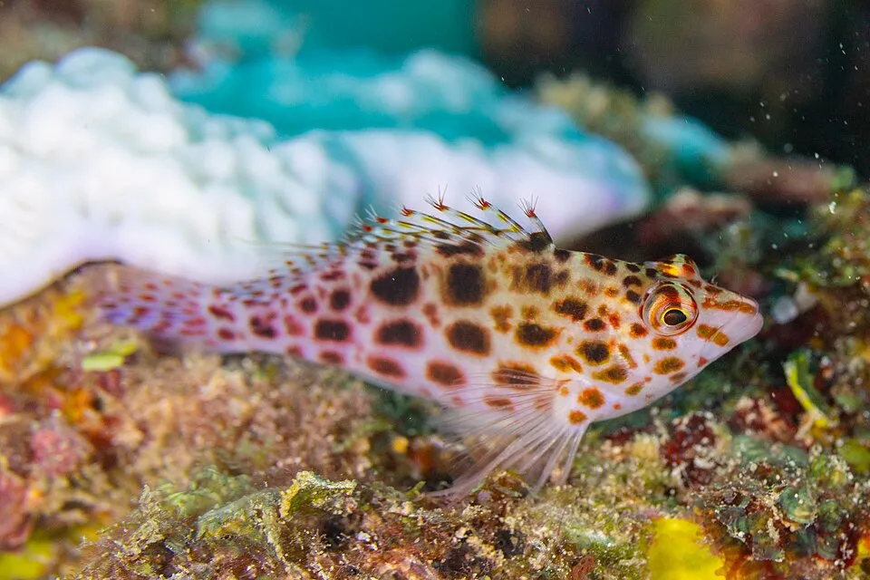
- Pixy Hawkfish · Cirrhitichthys oxycephalus · 380
- Cylindrotheca closterium · 373
- Socorro Wren · Troglodytes sissonii · 369
- Panama Lightfish · Vinciguerria lucetia · 355
- Tropical Parula · Setophaga pitiayumi · 323
- Spotted Towhee · Pipilo maculatus · 300
- Masked Booby · Sula dactylatra · 280
+18 more species
- Notchfin Blenny · Entomacrodus chiostictus · 270
- Clarión Wren · Troglodytes tanneri · 254
- Socorro mockingbird · Mimus graysoni · 254
- Pacific Creole-fish · Paranthias colonus · 246
- Mourning Dove · Zenaida macroura · 245
- Central American Locust · Schistocerca piceifrons · 222
- Wedge-tailed Shearwater · Puffinus pacificus · 211
- Green Parakeet · Aratinga holochlora · 196
- Whitetip reef shark · Triaenodon obesus · 188
- Starry Grouper · Epinephelus labriformis · 178
- Mexican hogfish · Bodianus diplotaenia · 178
- Convict Surgeonfish · Acanthurus triostegus · 170
- Common bottlenose dolphin · Tursiops truncatus · 162
- Clausocalanus furcatus · 160
- Redlight goby · Coryphopterus urospilus · 160
- Snouted Mullet · Chaenomugil proboscideus · 160
- Pantropical spotted dolphin · Stenella attenuata · 158
- Common Ground Dove · Columbina passerina · 152
Records: GBIF.org (CC-BY). Names: Wikidata (CC0), GBIF. Photos: Wikimedia Commons.
Conservation challenges
The primary purpose of the site is to preserve its natural habitats and the biodiversity they support. The species recorded (Biodiversity tab) reflect its ecological value. The designations it holds frame its management and the control of land use.
Since 2000, 10 invasive alien species have been recorded within the site (GBIF observations). Among them: Streptopelia decaocto (Eurasian Collared Dove), Mus musculus (House mouse) and Cenchrus ciliaris (Buffel grass).
Pressure indicators
Invasive alien species
10
recorded since 2000
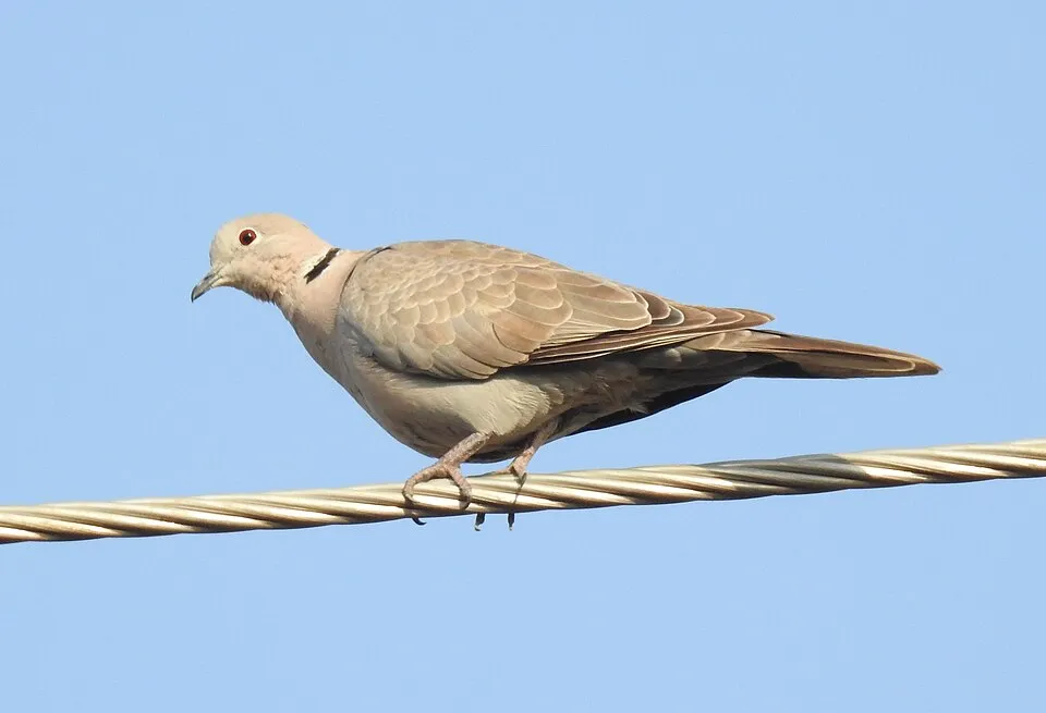 Eurasian Collared Dove
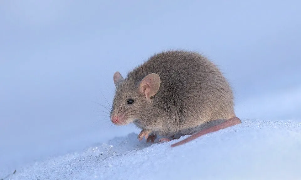 House mouse
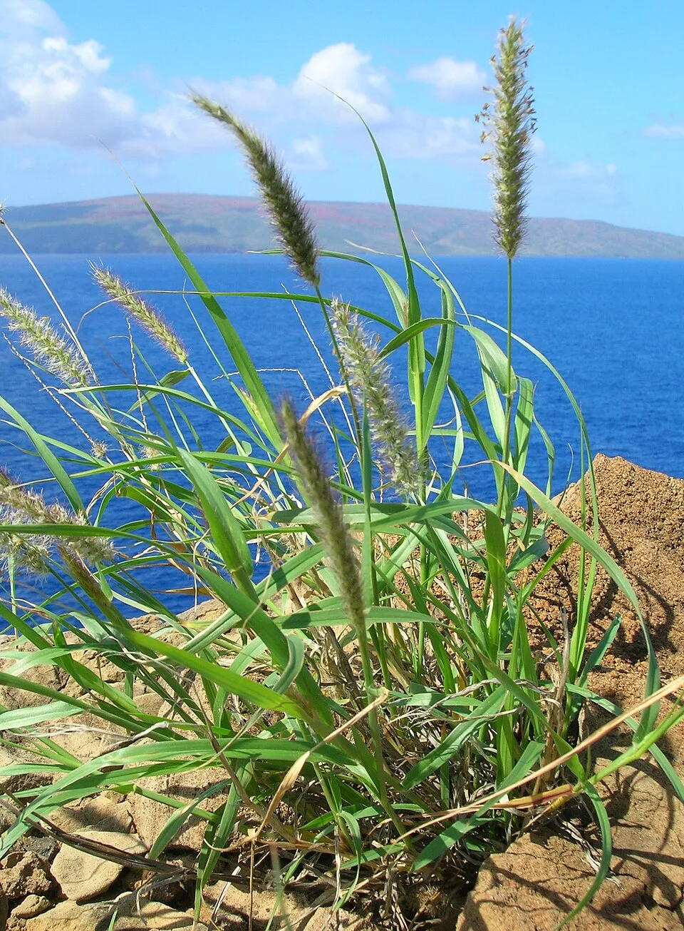 Buffel grass
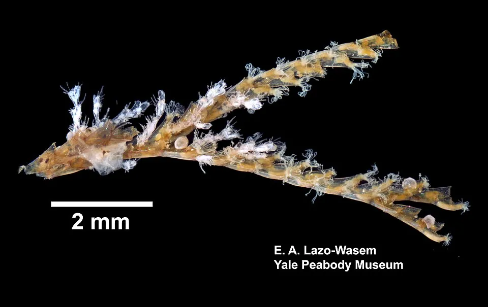 Common Bugula
 Sea thread hydroid
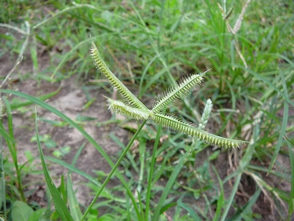 Egyptian grass
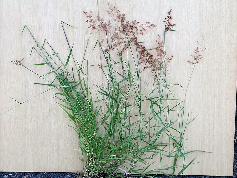 Natal grass
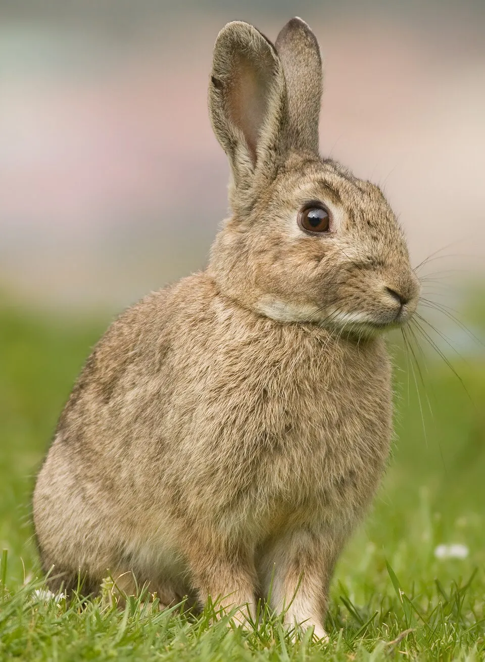 Poponejo
Photos: Eurasian Collared Dove © Dr. Raju Kasambe · CC BY-SA 4.0; House mouse © Dion Art · CC BY-SA 4.0; Buffel grass © MPF · Public domain; Common Bugula © Eric A. Lazo-Wasem · CC0-1.0; Sea thread hydroid © Claudia RATTI · CC BY 4.0; Egyptian grass © Atamari · CC BY-SA 3.0; Natal grass © Harry Rose from South West Rocks, Australia · CC BY 2.0; Poponejo © JJ Harrison · CC BY-SA 3.0
Sources: Global Forest Change (Hansen et al., University of Maryland, via Global Forest Watch, CC-BY 4.0); EFFIS, European Commission / Copernicus; NASA Black Marble 2016 (public domain); CORINE Land Cover 2018 (Copernicus) or MODIS.
Invasive alien species: Global Register of Introduced and Invasive Species (ISSG, CC BY 4.0); Union list, Regulation (EU) 1143/2014 (INBO, CC0); GBIF.org records (CC0 / CC BY 4.0), at least 2 per species.
Access and visiting
To plan a visit (access, opening periods, visitor rules), it is best to consult the official information from the managing body (National Commission of Protected Natural Areas) and the official website listed in this page's sources.
When to visit
Best time to visit: the dry season, from February to April, with less than 10 mm of rain per month. Precipitation peaks from June to August (up to 120 mm per month). Day length ranges from about 11 h 00 min in December to 13 h 15 min in June. Wildlife records published on GBIF peak for birds (April and May), plants (April), butterflies and moths (December) and mammals (April). These peaks also reflect when observers are most active.
Source: Copernicus ERA5 (C3S), monthly averages 1996–2025 at the representative point, temperatures adjusted for elevation.
Contains modified Copernicus Climate Change Service information 2026. Neither the European Commission nor ECMWF is responsible for any use that may be made of the Copernicus information or data it contains.
Wildlife records calendar
JFMAMJJASOND
Birds
Plants
Butterflies & moths
Mammals
Monthly records published on GBIF (CC-BY), relative to the busiest month; also reflects observer activity.
Gallery
© KABAYEK · CC BY-SA 3.0
Sources and licences
References
- cds.climate.copernicus.eu: climate · CC-BY-4.0
- registry.opendata.aws: elevation of the reference point · PD
- lpdaac.usgs.gov: land cover · PD
- doi.org: population around the site · CC-BY-4.0
- naturalearthdata.com: sea share · PD
- wikidata.org: official area, establishment date, protected heritage, managing body, nearby cities and airport, access and peaks, places to see · CC0-1.0
- gbif.org: coral records, seasonality of sightings, invasive alien species, observed species · CC-BY-4.0
- gebco.net: depths · PD
- opentopodata.org: elevations · PD
- openstreetmap.org: official name · ODbL-1.0
Data © OpenStreetMap contributors (ODbL), Wikidata (CC0) and the sources cited.