France · Terrestrial
Réserve biologique intégrale du Cirque de Madasse
Nature reserve of 79 hectares in France, established in 2004.
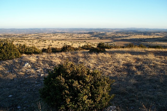
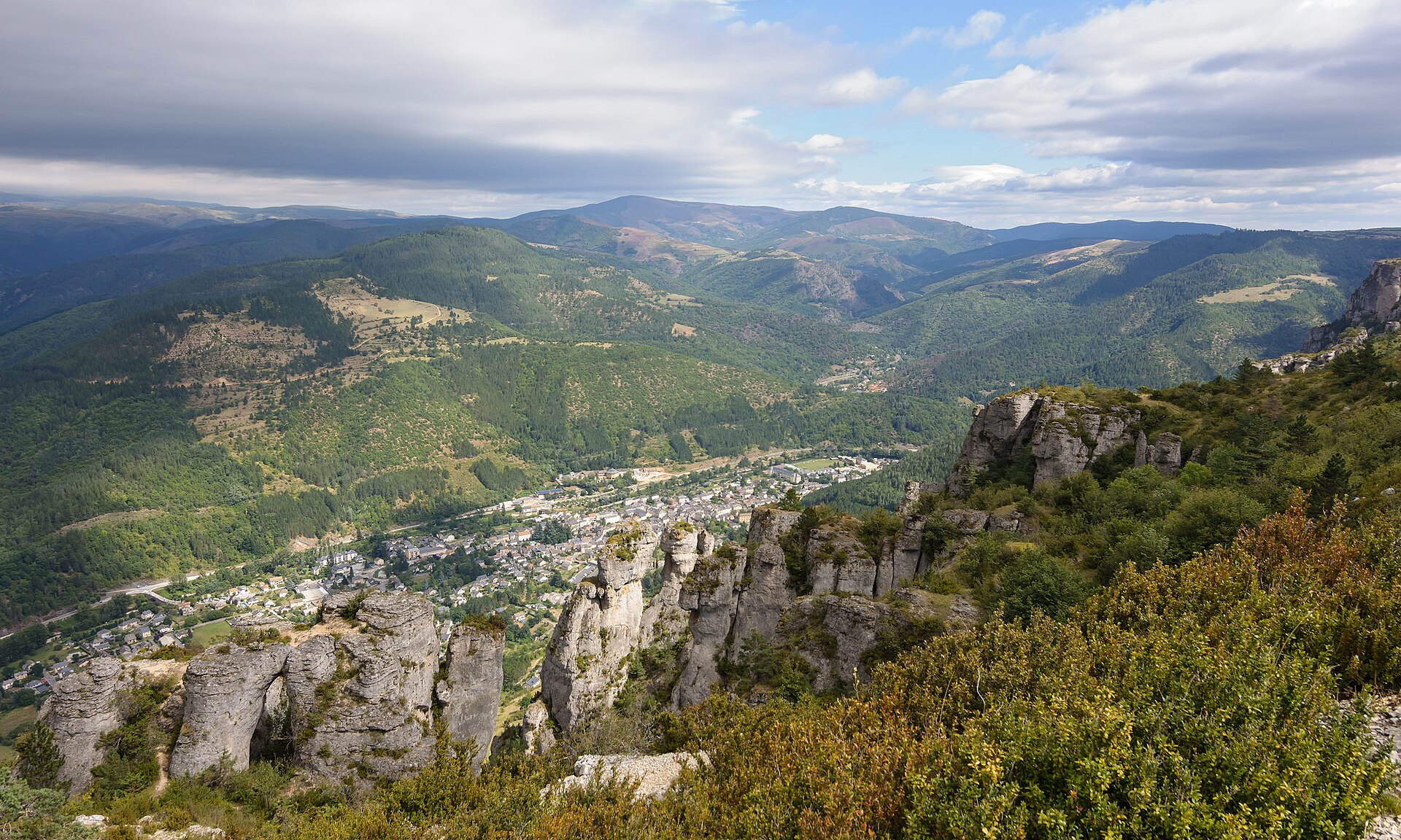
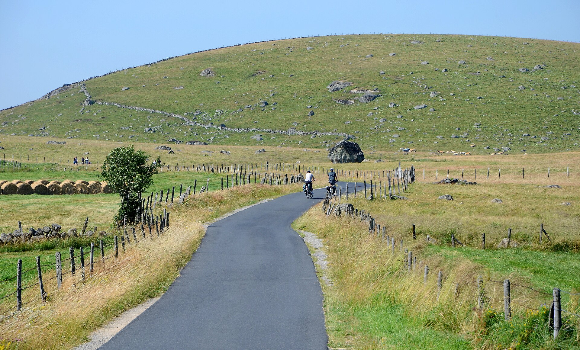
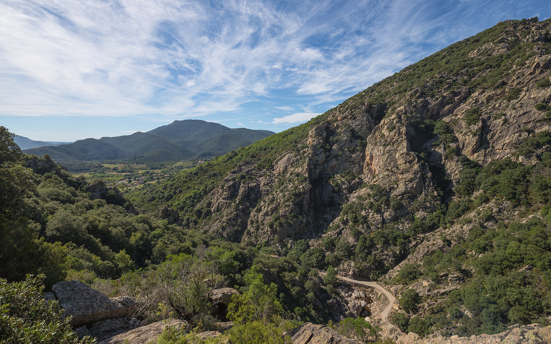
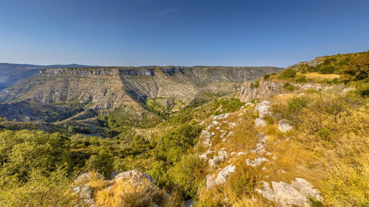
Illustrative photo · Causses · © CreativeNature_nl / Magnific
Overview
Nature reserve of 79 hectares in France, established in 2004.
Réserve biologique intégrale du Cirque de Madasse is a nature reserve in France (Europe). It is a predominantly terrestrial area. Established in 2004, it covers about 79 hectares.
Protections and designations
Natura 2000 · habitats (SAC)
- Causse Noir et ses corniches FR7300855
Natura 2000 · birds (SPA)
- Gorges du Tarn et de la Jonte FR7312006
Protected as a nature reserve. International labels and designations: Natura 2000 network (2 sites). Key dates: established in 2004, first Natura 2000 site under the Birds Directive in 2006 and first Natura 2000 site under the Habitats Directive in 2007.
In our collections
Timeline
-
2004
Established
-
2006
First Natura 2000 site under the Birds Directive
-
2007
First Natura 2000 site under the Habitats Directive
Sources: Wikidata (CC0) for establishment and international labels; EEA Natura 2000 database (CC-BY 4.0) for site designation dates.
Frequently asked questions
Where is Réserve biologique intégrale du Cirque de Madasse?
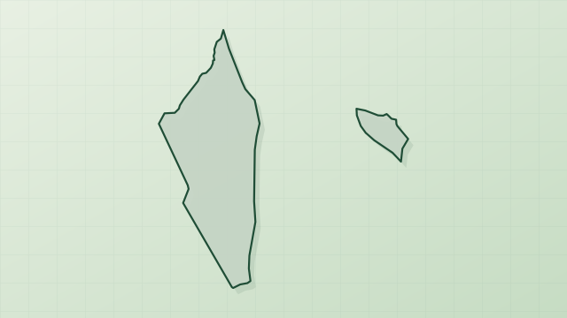
In France (Europe). Representative point: 44.1845° N, 3.2412° E.
How large is Réserve biologique intégrale du Cirque de Madasse?
About 79 hectares. It is the 95th largest of the 121 nature reserves in France covered by Parkavela.
When was Réserve biologique intégrale du Cirque de Madasse established?
In 2004.
What habitats and landscapes does Réserve biologique intégrale du Cirque de Madasse include?
A terrestrial area, with forests.
What rocks lie beneath Réserve biologique intégrale du Cirque de Madasse?
According to the BRGM's simplified lithological map, the bedrock consists mainly of limestones, marls and gypsum (100% of sampled points). These are mostly sedimentary rocks.
Which international labels apply to Réserve biologique intégrale du Cirque de Madasse?
Natura 2000 network (2 sites).
When is the best time to visit Réserve biologique intégrale du Cirque de Madasse?
Best time to visit: from May to September, with average temperatures of 11 to 19 °C and moderate rainfall.
What is there to see in Réserve biologique intégrale du Cirque de Madasse?
8 viewpoints and 1 cave, including Aven du Curé (OpenStreetMap).
What is the nearest large city to Réserve biologique intégrale du Cirque de Madasse?
Nearest towns of over 50,000 people, as the crow flies: Montpellier (81 km) and Albi (91 km). Nearest airport: Rodez-Aveyron (RDZ), about 64 km away.
How can I reach Réserve biologique intégrale du Cirque de Madasse by train?
The nearest railway station is Millau, about 15 km from the site boundary.
Which species can be seen in Réserve biologique intégrale du Cirque de Madasse?
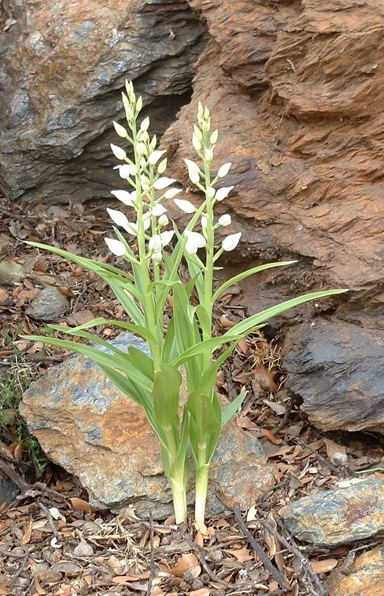
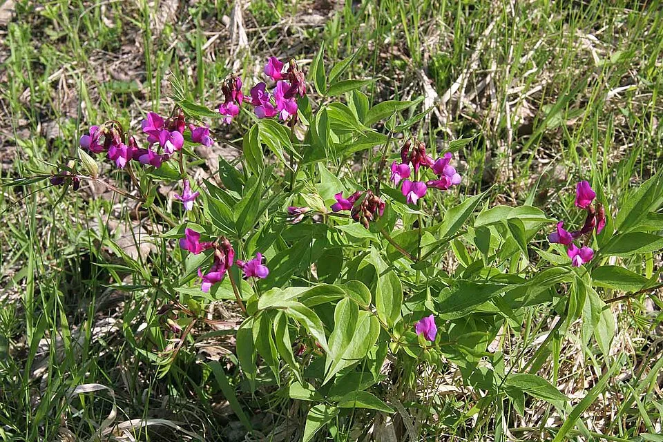
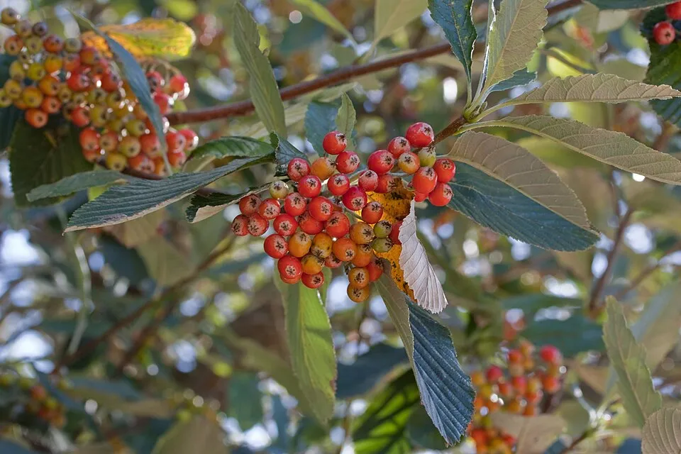
Among the species most often recorded on GBIF are Cephalanthera longifolia (Sword-leaved helleborine), Lathyrus vernus (Spring vetch), Aria edulis (Whitebeam) and Buxus sempervirens (Common box).
© OpenStreetMap
Download the boundary: GeoJSON · GPX Boundary © OpenStreetMap contributors (ODbL).
Geography
The representative point of the site lies at around 801 m above sea level. Over the 1996–2025 period, the mean annual temperature is about 9.7 °C and total precipitation reaches roughly 947 mm per year. The warmest month is usually July, the coolest January, and the wettest October. According to the BRGM's simplified lithological map, the bedrock consists mainly of limestones, marls and gypsum (100% of sampled points). These are mostly sedimentary rocks.
Area
- Area
- 79 ha
- Elevation
- 801 m
- Median elevation
- 819 m
- Mean slope
- 20°
- Coordinates
- 44.1845, 3.2412
Terrain: Mapzen Terrain Tiles (SRTM, USGS)
Bedrock
- Limestones, marls and gypsum 100 %
Sedimentary rocks 100 %
Source: BRGM, simplified lithological map at 1:1,000,000 (Licence Ouverte), 13 points sampled within the boundary.
Climate
● Mean temperature (°C) · ▮ Precipitation (mm)
Source: Copernicus ERA5-Land (C3S, doi:10.24381/cds.68d2bb30), monthly averages 1996–2025 interpolated to the representative point, temperatures adjusted for elevation.
Contains modified Copernicus Climate Change Service information 2026. Neither the European Commission nor ECMWF is responsible for any use that may be made of the Copernicus information or data it contains.
Snow cover measured by satellite
J
F
M
A
M
J
J
A
S
O
N
D
average share of the area under snow · snowiest parts · ≈ 10 days a year
Snow cover: MODIS/Terra MOD10CM v61 (Hall & Riggs, 2021, NASA NSIDC DAAC, doi:10.5067/MODIS/MOD10CM.061), imagery from NASA GIBS (ESDIS); 2015–2025 average, grid of about 5 km.
Natural habitats
According to CORINE Land Cover (2018), the site is mainly made up of forests (100%). Woodland is mostly coniferous. Elevation ranges from about 720 to 890 m (sampled elevations, SRTM). The terrain is steep: 18% of slopes exceed 30° (mean slope 20°). The 2 Natura 2000 sites overlapping the area list 16 habitats of European interest (4 priority), the most extensive being calcareous rocky slopes with chasmophytic vegetation, semi-natural dry grasslands and scrubland facies on calcareous substrates (Festuco-Brometalia) (* important orchid sites) and rupicolous calcareous or basophilic grasslands of the Alysso-Sedion albi.
Biodiversity
Based on occurrences aggregated by GBIF, several species are regularly recorded within the site. Among the most frequent are Cephalanthera longifolia (Sword-leaved helleborine), Lathyrus vernus (Spring vetch), Aria edulis (Whitebeam) and Buxus sempervirens (Common box). The full list of documented taxa is shown below. The overlapping Natura 2000 sites list 29 species of European interest: 18 birds, 7 mammals, 3 invertebrates and 1 plant.
Habitats of European interest
From the official forms of the 2 Natura 2000 sites overlapping the area (areas reported for each whole site).
- Calcareous rocky slopes with chasmophytic vegetation 261 ha
- Semi-natural dry grasslands and scrubland facies on calcareous substrates (Festuco-Brometalia) (* important orchid sites) 228 ha
- Rupicolous calcareous or basophilic grasslands of the Alysso-Sedion albi priority 185 ha
- Medio-European limestone beech forests of the Cephalanthero-Fagion 117 ha
- Pseudo-steppe with grasses and annuals of the Thero-Brachypodietea priority 103 ha
- Arborescent matorral with Juniperus spp. 69 ha
- Stable xerothermophilous formations with Buxus sempervirens on rock slopes (Berberidion p.p.) 28 ha
- Lowland hay meadows (Alopecurus pratensis, Sanguisorba officinalis) 8 ha
and 8 more
Species of European interest
Birds · 18
Cinereous Vulture (Aegypius monachus) resident, Golden Eagle (Aquila chrysaetos) resident, Eurasian Eagle-owl (Bubo bubo) resident, European Nightjar (Caprimulgus europaeus) breeding, Short-toed Snake Eagle (Circaetus gallicus) breeding, Black Woodpecker (Dryocopus martius) breeding, Ortolan Bunting (Emberiza hortulana) breeding, Peregrine Falcon (Falco peregrinus) resident, Bearded vulture (Gypaetus barbatus) resident, Griffon Vulture (Gyps fulvus) resident, Booted Eagle (Hieraaetus pennatus) passage, Red-backed Shrike (Lanius collurio) breeding and 6 more
Mammals · 7
Barbastelle (Barbastella barbastellus), Common bent-wing bat (Miniopterus schreibersii), Bechstein's bat (Myotis bechsteinii), Geoffroy's bat (Myotis emarginatus), Greater mouse-eared bat (Myotis myotis), Greater Horseshoe Bat (Rhinolophus ferrumequinum), Lesser horseshoe bat (Rhinolophus hipposideros)
Invertebrates · 3
Greater Capricorn Beetle (Cerambyx cerdo), Marsh fritillary (Euphydryas aurinia), Rosalia longicorn (Rosalia alpina)
Source: Natura 2000 standard data forms (EEA, CC-BY 4.0). Not exhaustive: sensitive species are not published.
Species to look out for

Observed species
Occurrences documented via GBIF; they are neither an exhaustive inventory nor proof of current presence.
- Sword-leaved helleborine · Cephalanthera longifolia · 8
- Spring vetch · Lathyrus vernus · 8
- Whitebeam · Aria edulis · 8
- Common box · Buxus sempervirens · 7
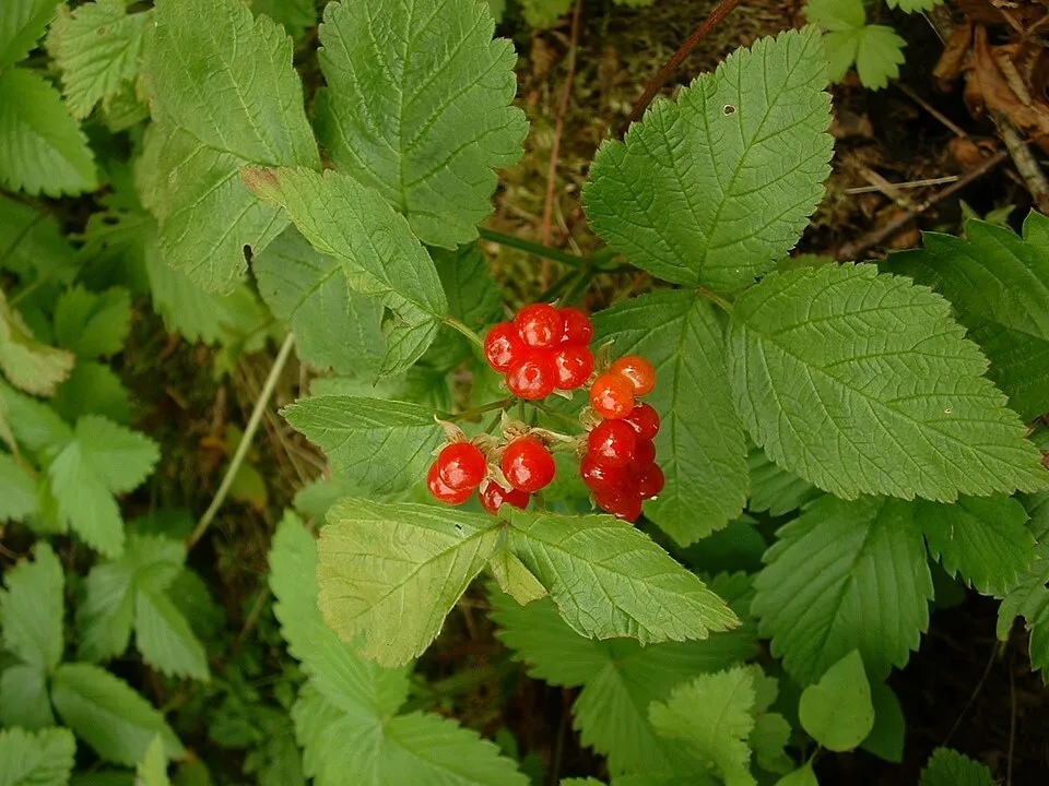
- Stone bramble · Rubus saxatilis · 7
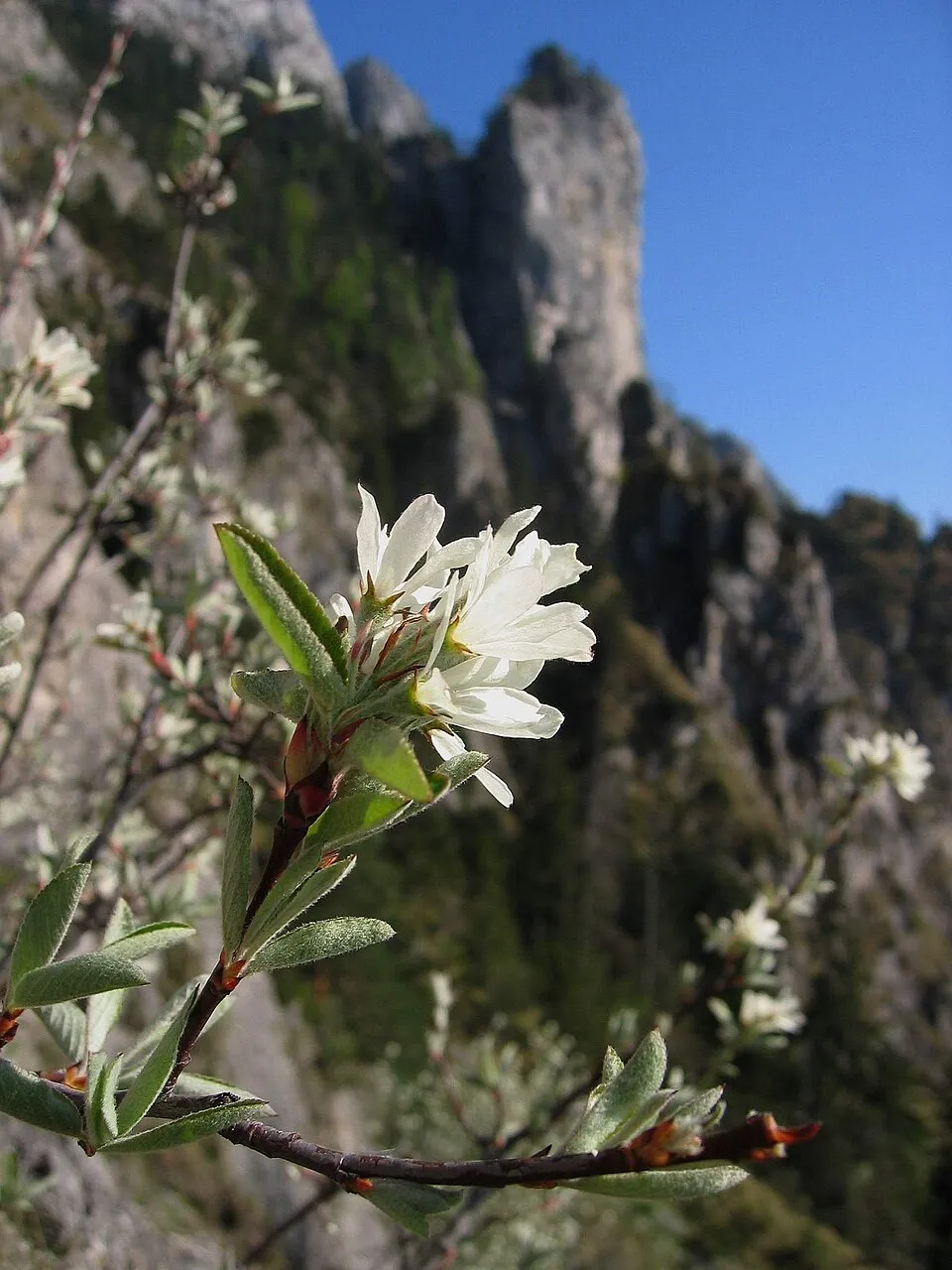
- Snowy Mespilus · Amelanchier ovalis · 7
- European Crested Tit · Lophophanes cristatus · 6
- European Beech · Fagus sylvatica · 6
- Herb-paris · Paris quadrifolia · 6
- European robin · Erithacus rubecula · 5
- Red helleborine · Cephalanthera rubra · 5
- Early coralroot · Corallorhiza trifida · 5
+18 more species
- Bearberry · Arctostaphylos uva-ursi · 5
- Eurasian Crag Martin · Ptyonoprogne rupestris · 5
- Bembix rostrata · 5
- Italian Maple · Acer opalus · 5
- Sessile-leaved Broom · Cytisophyllum sessilifolium · 4
- Blue moor grass · Sesleria caerulea · 4
- Scots Pine · Pinus sylvestris · 4
- Hepatica · Hepatica nobilis · 4
- Prostrate hutchinsia · Hornungia procumbens · 4
- Common Firecrest · Regulus ignicapilla · 4
- Moehringia muscosa · 4
- Greater knapweed · Centaurea scabiosa · 4
- Eurasian Sparrowhawk · Accipiter nisus · 3
- Common Juniper · Juniperus communis · 3
- Carex alba · 3
- Blue Aphyllanthes · Aphyllanthes monspeliensis · 3
- Fairy foxglove · Erinus alpinus · 3
- Eurasian Wren · Troglodytes troglodytes · 3
Records: GBIF.org (CC-BY). Names: Wikidata (CC0), GBIF. Photos: Wikimedia Commons.
Conservation challenges
The primary purpose of the site is to preserve its natural habitats and the biodiversity they support. The species recorded (Biodiversity tab) reflect its ecological value. The designations it holds frame its management and the control of land use.
At night, the area gives off virtually no artificial light detectable from space (NASA VIIRS Black Marble composite, 2016). According to the Natura 2000 forms, of 15 assessed habitats of European interest, 4 are in excellent condition and the rest in good condition.
Pressure indicators
Tree cover lost
1 ha
2001–2023 · 1% of the area
20012023
Fires since 2016
0
No large fire mapped (fires over about 30 ha)
Light at night
0%
of the area gives off artificial light visible from space
DarkLit
Sources: Global Forest Change (Hansen et al., University of Maryland, via Global Forest Watch, CC-BY 4.0); EFFIS, European Commission / Copernicus; NASA Black Marble 2016 (public domain); CORINE Land Cover 2018 (Copernicus) or MODIS.
Practical information
Cities and airport
- Montpellier
81 km as the crow flies - Albi
91 km as the crow flies - Airport: Rodez-Aveyron (RDZ)
64 km as the crow flies
Data © OpenStreetMap contributors (ODbL) · Wikidata (CC0)
Access and visiting
The nearest railway station is Millau, about 15 km from the site boundary. Nearest towns of over 50,000 people, as the crow flies: Montpellier (81 km) and Albi (91 km). Nearest airport: Rodez-Aveyron (RDZ), about 64 km away. About 35,000 people live within 20 km of the site boundary, 3,000 of them within 10 km (GHSL estimate, 2020). To see: 8 viewpoints and 1 cave, including Aven du Curé. To plan a visit (access, opening periods, visitor rules), it is best to consult the official information from the managing body and the official website listed in this page's sources.
Source: OpenStreetMap (ODbL), Wikidata (CC0), October 2026.
When to visit
Best time to visit: from May to September, with average temperatures of 11 to 19 °C and moderate rainfall. Snow only makes brief appearances in winter (about 10 days a year on average, MODIS satellites 2015–2025). Day length ranges from about 8 h 53 min in December to 15 h 29 min in June. Wildlife records published on GBIF peak for plants (June). These peaks also reflect when observers are most active.
Source: Copernicus ERA5-Land (C3S), monthly averages 1996–2025 at the representative point, temperatures adjusted for elevation.
Contains modified Copernicus Climate Change Service information 2026. Neither the European Commission nor ECMWF is responsible for any use that may be made of the Copernicus information or data it contains.
Wildlife records calendar
JFMAMJJASOND
Birds
Plants
Monthly records published on GBIF (CC-BY), relative to the busiest month; also reflects observer activity.
Gallery
© CreativeNature_nl / Magnific
Sources and licences
- Wikidata: Q65953531
- OpenStreetMap: relation 1178106
- WDPA: 330615
References
- cds.climate.copernicus.eu: climate · CC-BY-4.0
- registry.opendata.aws: elevation of the reference point, detailed relief · PD
- land.copernicus.eu: land cover, land cover change, sea share · COPERNICUS
- doi.org: population around the site · CC-BY-4.0
- wikidata.org: official area, establishment date, nearby cities and airport, access and peaks, lake depths, places to see · CC0-1.0
- eea.europa.eu: bathing water quality, ecological status of waters · CC-BY-4.0
- en.eurovelo.com: EuroVelo cycle routes · ODbL-1.0
- cycling.waymarkedtrails.org: cycle routes · ODbL-1.0
- opentopodata.org: elevations · PD
- forest-fire.emergency.copernicus.eu: wildfires · COPERNICUS
- globalforestwatch.org: tree cover loss · CC-BY-4.0
- gbif.org: seasonality of sightings, invasive alien species, observed species · CC-BY-4.0
- infoterre.brgm.fr: geology · LO-2.0
- pop.culture.gouv.fr: protected heritage · LO-2.0
- hydrosheds.org: lakes · CC-BY-4.0
- natura2000.eea.europa.eu: Natura 2000 habitats and species · CC-BY-4.0
- openstreetmap.org: official name, access and peaks, places to see · ODbL-1.0
- earthobservatory.nasa.gov: night light · PD
- nsidc.org: snow cover · PD
Data © OpenStreetMap contributors (ODbL), Wikidata (CC0) and the sources cited.