Fish
Yellowtail Snapper
Ocyurus chrysurus15,297 records © Fred Hsu (Wikipedia:User:Fredhsu) · CC BY-SA 3.0
United States · Marine
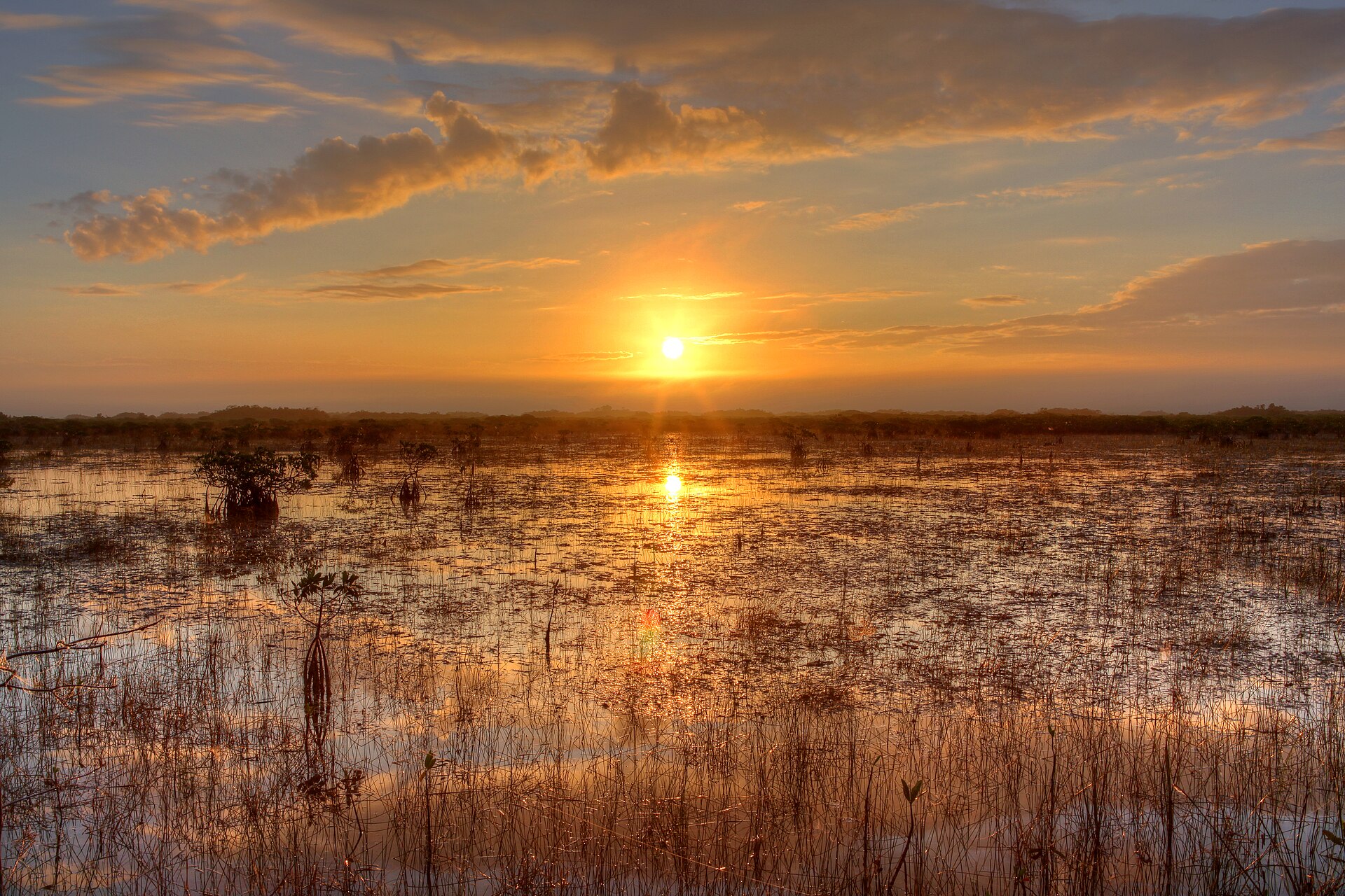
National park of 26,180 hectares in the United States, established in 1992.
National park of 26,180 hectares in the United States, established in 1992.
Dry Tortugas National Park is located in the United States (North America). It is a predominantly marine area. Established on 26 October 1992, it covers about 26,180 hectares. The site is managed by National Park Service.
Protected as a national park. International labels and designations: UNESCO Biosphere Reserve (“Everglades & Dry Tortugas”). Key dates: Biosphere Reserve in 1976 and established in 1992.
Sources: Wikidata (CC0) for establishment and international labels; EEA Natura 2000 database (CC-BY 4.0) for site designation dates.
In the United States (North America). Representative point: 24.6494° N, 82.8717° W.
About 26,180 hectares (262 km²). It is the 46th largest of the 62 national parks in the United States covered by Parkavela.
On 26 October 1992.
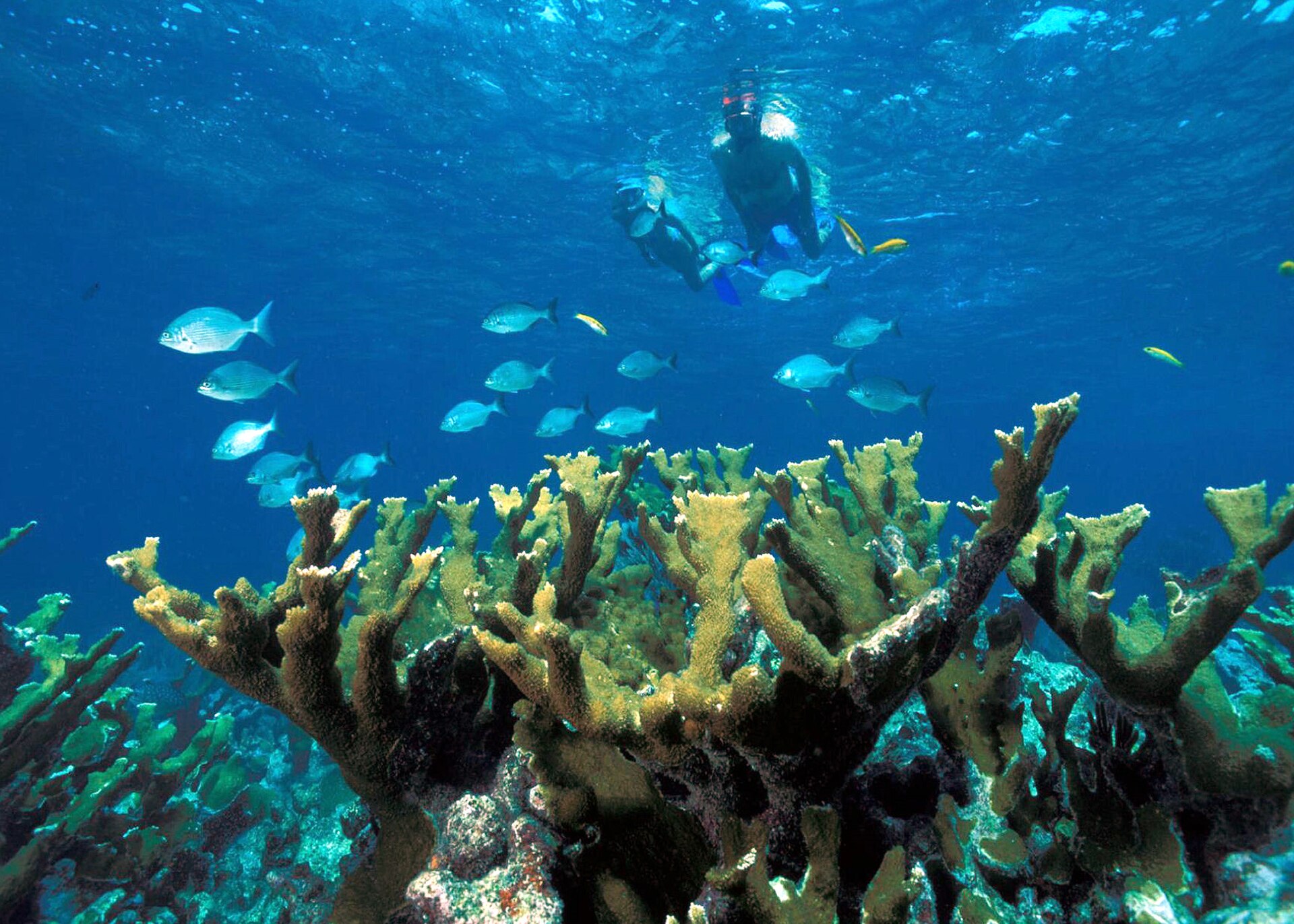
A marine area, with coral reefs.
UNESCO Biosphere Reserve (“Everglades & Dry Tortugas”).
Yes. According to Wikidata, 2 monuments listed in the National Register of Historic Places stand within the boundary, 1 of them a National Historic Landmark. For example: “Dry Tortugas National Park”.
Nearest airport: Key West (EYW), about 103 km away.
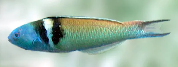
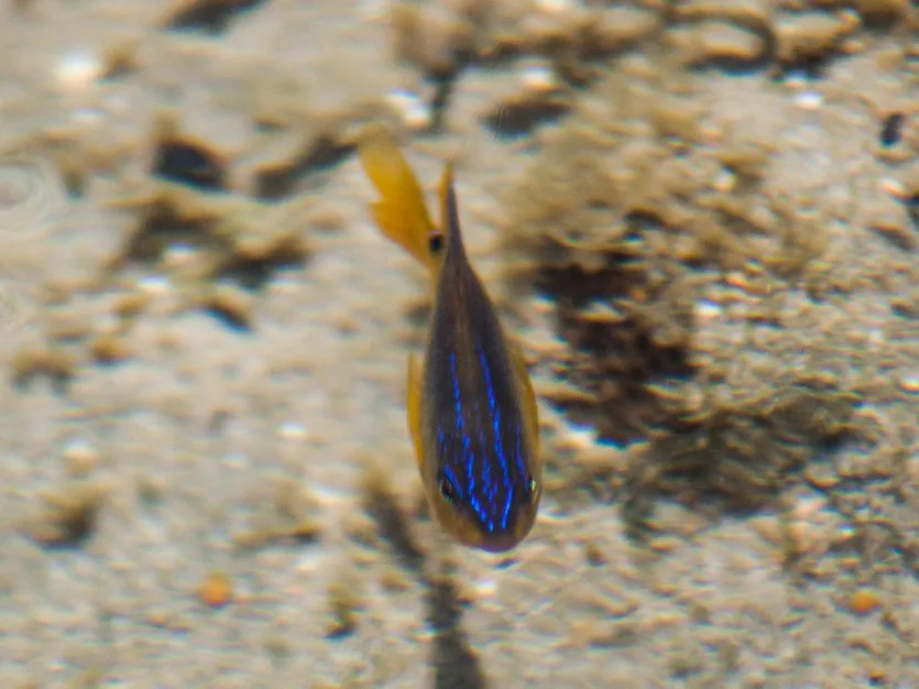
Among the species most often recorded on GBIF are Scarus iseri (Striped Parrotfish), Ocyurus chrysurus (Yellowtail Snapper), Thalassoma bifasciatum (Bluehead wrasse) and Stegastes variabilis (Cocoa Damselfish).
National Park Service.
© OpenStreetMap
Download the boundary: GeoJSON · GPX Boundary © OpenStreetMap contributors (ODbL).
The site is almost entirely marine. The seabed reaches about 27 m deep (median depth 12 m; GEBCO bathymetry). Reef-building corals are documented in the area: 31,868 records published on GBIF.
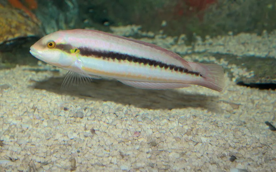
Based on occurrences aggregated by GBIF, several species are regularly recorded within the site. Among the most frequent are Scarus iseri (Striped Parrotfish), Ocyurus chrysurus (Yellowtail Snapper), Thalassoma bifasciatum (Bluehead wrasse) and Stegastes variabilis (Cocoa Damselfish). The full list of documented taxa is shown below.
Fish
15,297 records © Fred Hsu (Wikipedia:User:Fredhsu) · CC BY-SA 3.0

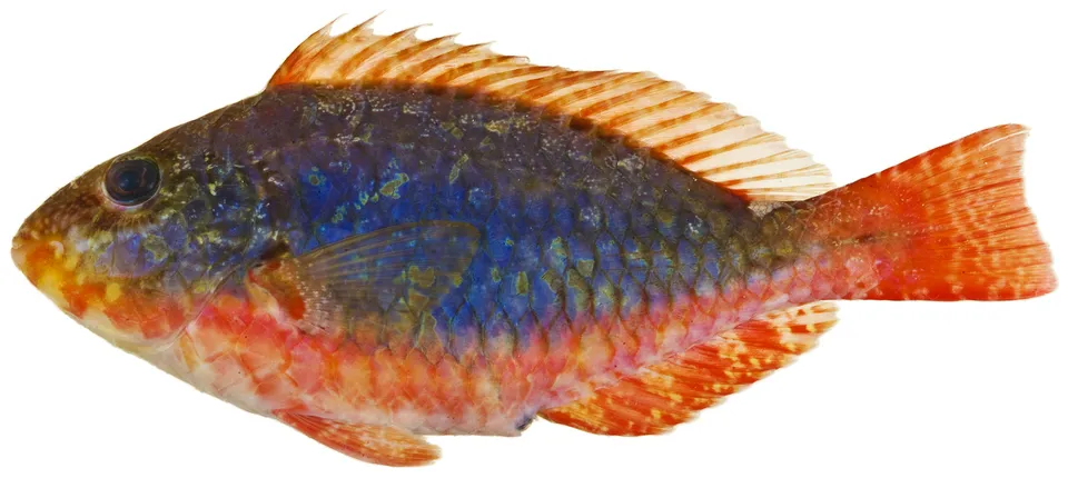
Fish
11,453 records © Williams, J. T.; Carpenter, K. E.; Van Tassell, J. L.; Hoetjes, P.; Toller, W.; Etnoyer, P.; Smith, M. · CC BY 2.5
Occurrences documented via GBIF; they are neither an exhaustive inventory nor proof of current presence.
Records: GBIF.org (CC-BY). Names: Wikidata (CC0), GBIF. Photos: Wikimedia Commons.
The primary purpose of the site is to preserve its natural habitats and the biodiversity they support. The species recorded (Biodiversity tab) reflect its ecological value. The designations it holds frame its management and the control of land use.
Data © OpenStreetMap contributors (ODbL) · Wikidata (CC0)
Nearest airport: Key West (EYW), about 103 km away. To plan a visit (access, opening periods, visitor rules), it is best to consult the official information from the managing body (National Park Service) and the official website listed in this page's sources.
Source: OpenStreetMap (ODbL), Wikidata (CC0), October 2026.
According to Wikidata, 2 monuments listed in the National Register of Historic Places stand within the boundary, 1 of them a National Historic Landmark. Nationally designated items include “Dry Tortugas National Park”.
Source: Wikidata (CC0), monuments in each country’s official heritage protection registers, at national or regional level. Each item links to its Wikidata entry.
Monthly records published on GBIF (CC-BY), relative to the busiest month; also reflects observer activity.
Data © OpenStreetMap contributors (ODbL), Wikidata (CC0) and the sources cited.