Bird
Great Spotted Woodpecker
Dendrocopos major2,163 records © Sławomir Staszczuk (info [AT] photoss.net) · CC BY-SA 3.0
Sweden · Terrestrial
National park of 111 hectares in Sweden, established in 1909.
National park of 111 hectares in Sweden, established in 1909.
Garphyttan National Park is located in Sweden (Europe). It is a predominantly terrestrial area. Established on 21 June 1909, it covers about 111 hectares. The site is managed by Örebro County Administrative Board.
Protected as a national park. International labels and designations: Natura 2000 network (1 site: “Garphyttans nationalpark”). Key dates: established in 1909 and first Natura 2000 site under the Habitats Directive in 2011.
Sources: Wikidata (CC0) for establishment and international labels; EEA Natura 2000 database (CC-BY 4.0) for site designation dates.
In Sweden (Europe). Representative point: 59.2802° N, 14.8928° E.
About 111 hectares (1 km²). It is the 29th largest of the 31 national parks in Sweden covered by Parkavela.
On 21 June 1909.
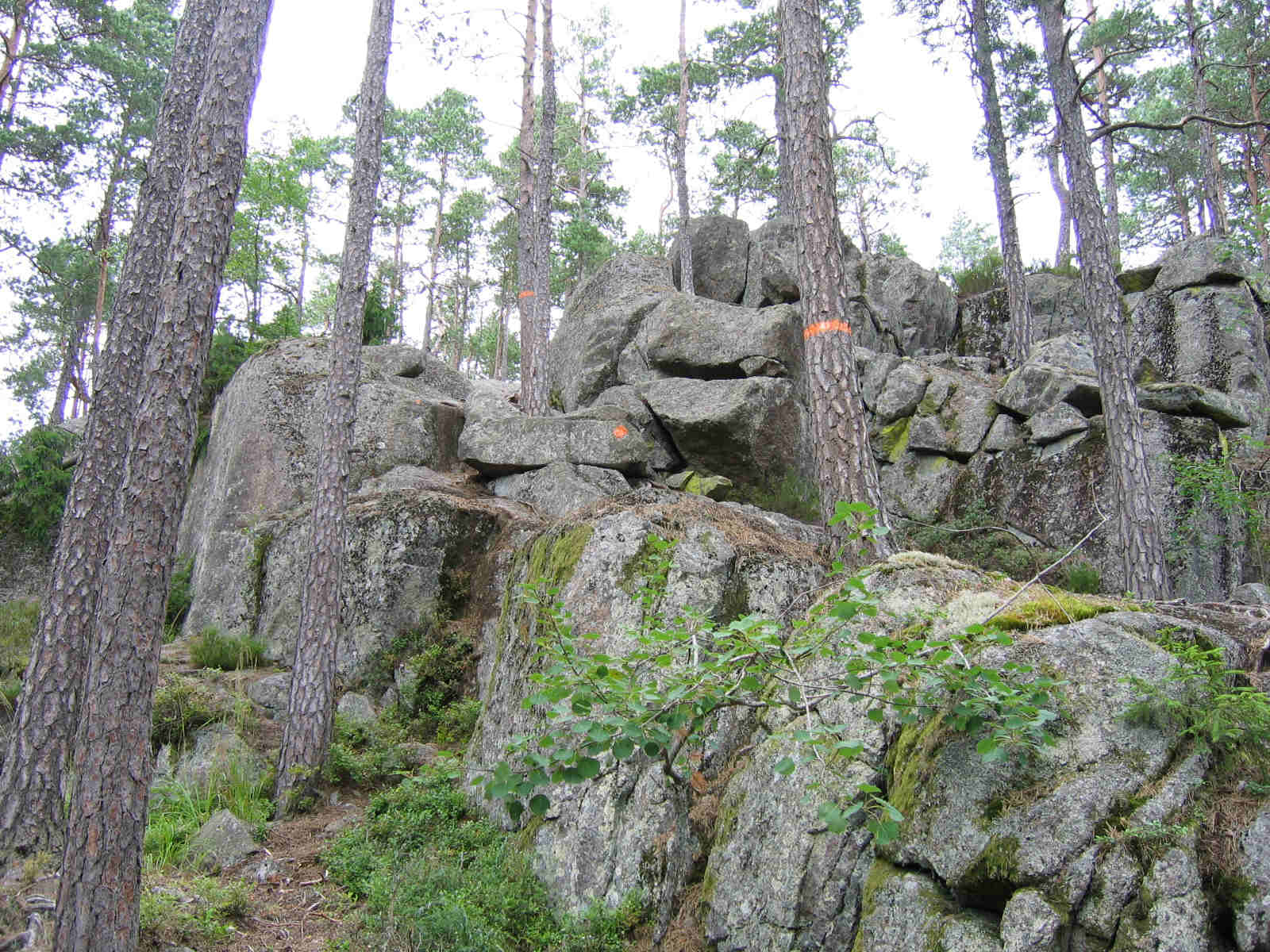
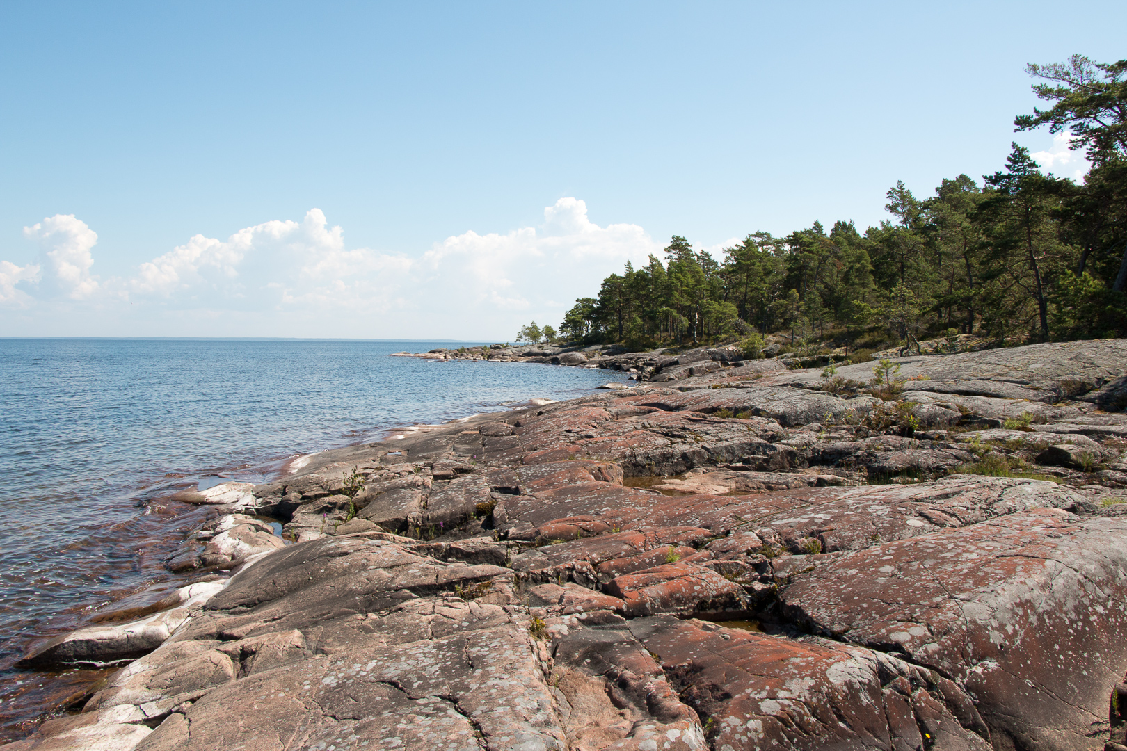
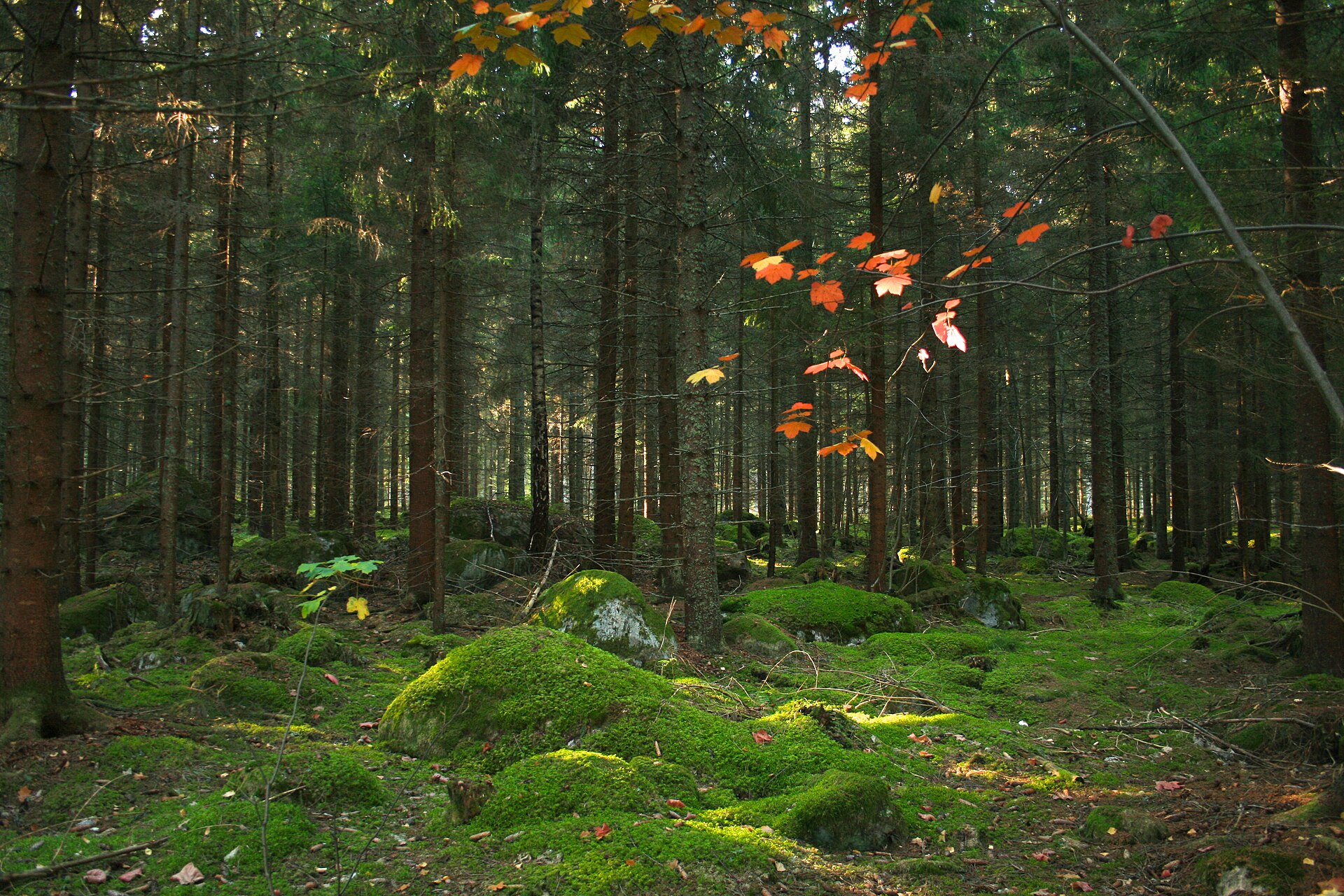
A terrestrial area, with forests.
According to the European 1:1 million geological map (EGDI), the bedrock consists mainly of rhyolites (100% of sampled points). These are mostly igneous rocks. The geological units date mainly from the Precambrian (100% of sampled points).
Natura 2000 network (1 site: “Garphyttans nationalpark”).
Mildest period: July and August, with average temperatures of 16 to 18 °C.
Yes. According to NASA's MODIS satellites (2015–2025 average), snow covers most of the area from November to February, with about 105 snow-covered days a year on average.
Nearest towns of over 50,000 people, as the crow flies: Örebro (17 km) and Västerås (100 km). Nearest airport: Örebro (ORB), about 10 km away.
The nearest railway station is Örebro Södra, about 17 km from the site boundary.
Yes. Waymarked hiking routes listed in OpenStreetMap: 5, including Bergslagsleden Etapp.
Among the species most often recorded on GBIF are Dendrocopos major (Great Spotted Woodpecker), Dryocopus martius (Black Woodpecker), Sitta europaea (Eurasian Nuthatch) and Picoides tridactylus (Three-toed Woodpecker).
Örebro County Administrative Board.
© OpenStreetMap
Download the boundary: GeoJSON · GPX Boundary © OpenStreetMap contributors (ODbL).
The representative point of the site lies at around 157 m above sea level. Over the 1996–2025 period, the mean annual temperature is about 6.6 °C and total precipitation reaches roughly 759 mm per year. The warmest month is usually July, the coolest January, and the wettest July. According to the European 1:1 million geological map (EGDI), the bedrock consists mainly of rhyolites (100% of sampled points). These are mostly igneous rocks. The geological units date mainly from the Precambrian (100% of sampled points).
Terrain: Mapzen Terrain Tiles (SRTM, USGS)
Igneous rocks 100 % · Main age: Precambrian (100%)
Source: EGDI 1:1M geological map (EuroGeoSurveys and national geological surveys), CC BY 4.0 · 16 sampled points within the site.
● Mean temperature (°C) · ▮ Precipitation (mm)
Source: Copernicus ERA5-Land (C3S, doi:10.24381/cds.68d2bb30), monthly averages 1996–2025 interpolated to the representative point, temperatures adjusted for elevation.
Contains modified Copernicus Climate Change Service information 2026. Neither the European Commission nor ECMWF is responsible for any use that may be made of the Copernicus information or data it contains.
average share of the area under snow · snowiest parts · ≈ 105 days a year
Snow cover: MODIS/Terra MOD10CM v61 (Hall & Riggs, 2021, NASA NSIDC DAAC, doi:10.5067/MODIS/MOD10CM.061), imagery from NASA GIBS (ESDIS); 2015–2025 average, grid of about 5 km.
According to CORINE Land Cover (2018), the site is mainly made up of forests (92%) and farmland (8%). Woodland is mostly coniferous. The Natura 2000 site overlapping the area lists 3 habitats of European interest (1 priority), the most extensive being western Taïga, lowland hay meadows (Alopecurus pratensis, Sanguisorba officinalis) and water courses of plain to montane levels with the Ranunculion fluitantis and Callitricho-Batrachion vegetation.
Based on occurrences aggregated by GBIF, several species are regularly recorded within the site. Among the most frequent are Dendrocopos major (Great Spotted Woodpecker), Dryocopus martius (Black Woodpecker), Sitta europaea (Eurasian Nuthatch) and Picoides tridactylus (Three-toed Woodpecker). The full list of documented taxa is shown below.
From the official form of the Natura 2000 site overlapping the area (areas reported for the whole site).
Bird
2,163 records © Sławomir Staszczuk (info [AT] photoss.net) · CC BY-SA 3.0
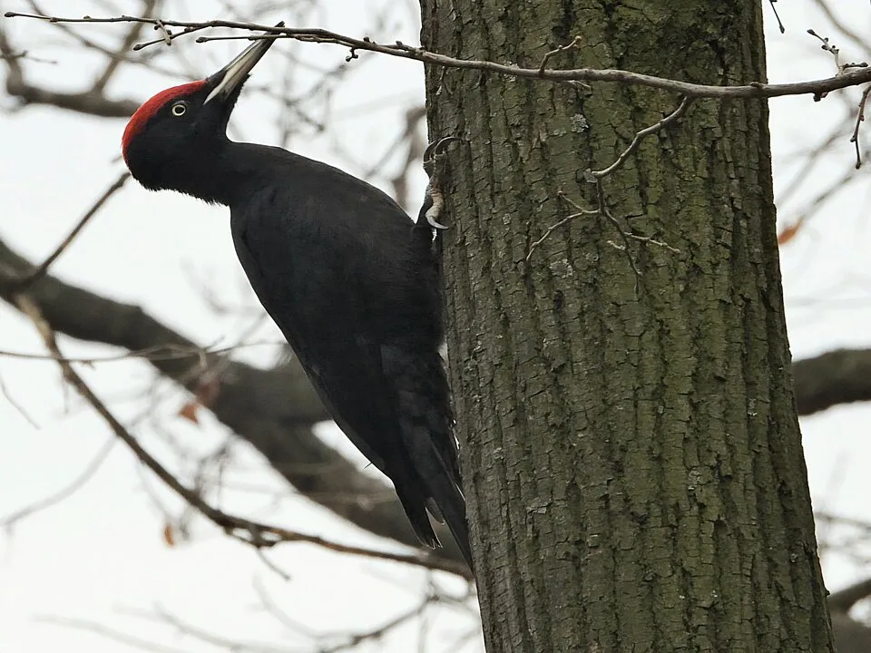
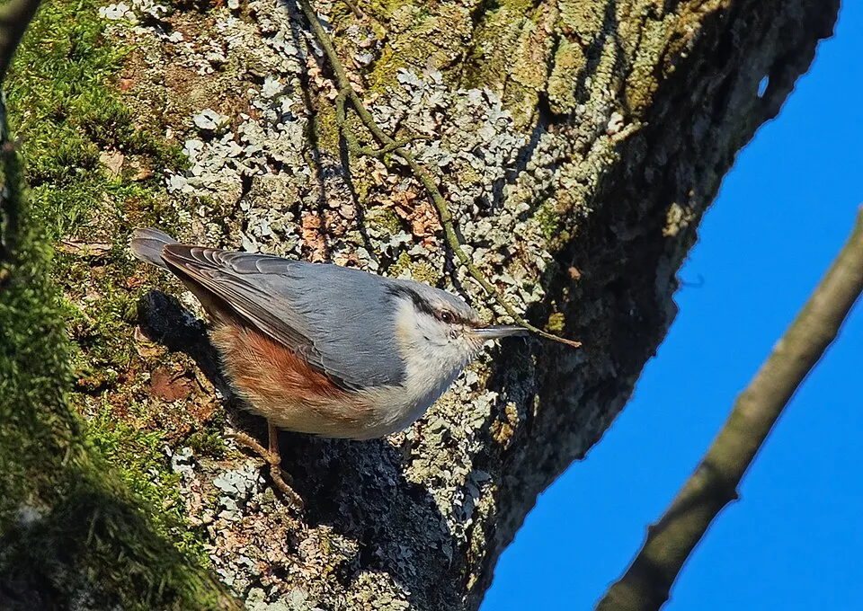

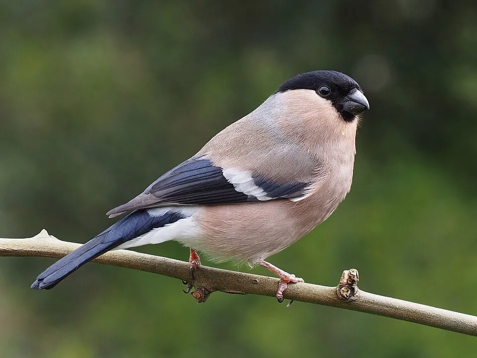
Bird
1,147 records © Francesco Veronesi from Italy · CC BY-SA 2.0
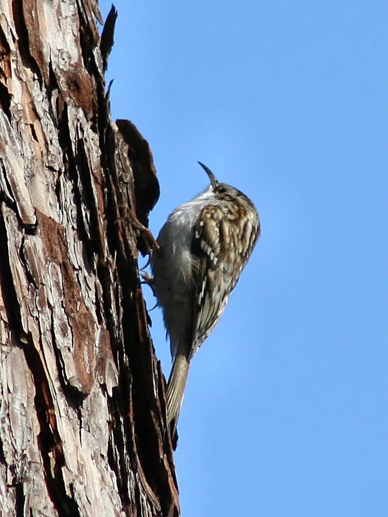
Bird
1,109 records © Paweł Kuźniar (Jojo_1, Jojo) · CC BY-SA 3.0
Occurrences documented via GBIF; they are neither an exhaustive inventory nor proof of current presence.
Records: GBIF.org (CC-BY). Names: Wikidata (CC0), GBIF. Photos: Wikimedia Commons.
The primary purpose of the site is to preserve its natural habitats and the biodiversity they support. The species recorded (Biodiversity tab) reflect its ecological value. The designations it holds frame its management and the control of land use.
According to Global Forest Change data (University of Maryland, Global Forest Watch), about 20 ha of tree cover were lost within the boundary between 2001 and 2023 (18% of its area), peaking in 2020 and 2021. These losses include logging, storms and fires, and do not account for regrowth. At night, the area gives off virtually no artificial light detectable from space (NASA VIIRS Black Marble composite, 2016). According to the Natura 2000 forms, all 3 assessed habitats of European interest are in good condition.
20 ha
2001–2023 · 18% of the area
0
No large fire mapped (fires over about 30 ha)
0%
of the area gives off artificial light visible from space
Sources: Global Forest Change (Hansen et al., University of Maryland, via Global Forest Watch, CC-BY 4.0); EFFIS, European Commission / Copernicus; NASA Black Marble 2016 (public domain); CORINE Land Cover 2018 (Copernicus) or MODIS.
3 public car parks listed within the site
5 waymarked routes listed, including:
Data © OpenStreetMap contributors (ODbL) · Wikidata (CC0)
Tracks © OpenStreetMap contributors (ODbL), clipped to the boundary; elevation gain and profiles computed on the longest section from Mapzen Terrain Tiles (≈ 30 m), indicative only.
The nearest railway station is Örebro Södra, about 17 km from the site boundary. Nearest towns of over 50,000 people, as the crow flies: Örebro (17 km) and Västerås (100 km). Nearest airport: Örebro (ORB), about 10 km away. About 140,000 people live within 20 km of the site boundary, 8,100 of them within 10 km (GHSL estimate, 2020). This population has grown by about 17% since 2000. Public car parks listed within the site: 3, including Nedre Skogsparkeringen, Övre Skogsparkeringen and Garphyttans nationalpark parkering. Waymarked hiking routes listed in OpenStreetMap: 5, including Bergslagsleden Etapp. To plan a visit (access, opening periods, visitor rules), it is best to consult the official information from the managing body (Örebro County Administrative Board) and the official website listed in this page's sources.
Source: OpenStreetMap (ODbL), Wikidata (CC0), October 2026.
Mildest period: July and August, with average temperatures of 16 to 18 °C. Average temperatures drop below 0 °C from December to February: frost is common. According to NASA's MODIS satellites (2015–2025 average), snow covers most of the area from November to February, with about 105 snow-covered days a year on average. Day length ranges from about 6 h 08 min in December to 18 h 33 min in June. Wildlife records published on GBIF peak for birds (January), plants (May) and butterflies and moths (June and July). These peaks also reflect when observers are most active.
Source: Copernicus ERA5-Land (C3S), monthly averages 1996–2025 at the representative point, temperatures adjusted for elevation.
Contains modified Copernicus Climate Change Service information 2026. Neither the European Commission nor ECMWF is responsible for any use that may be made of the Copernicus information or data it contains.
Monthly records published on GBIF (CC-BY), relative to the busiest month; also reflects observer activity.
Data © OpenStreetMap contributors (ODbL), Wikidata (CC0) and the sources cited.