
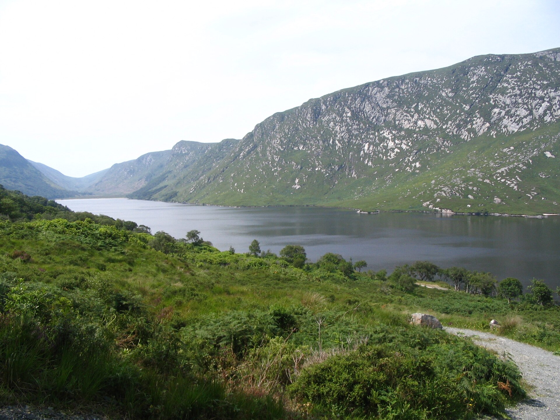

Ireland · Terrestrial
Glenveagh National Park
National park of 16,050 hectares in Ireland, established in 1984.
Overview
National park of 16,050 hectares in Ireland, established in 1984.
Glenveagh National Park is located in Ireland (Europe). It is a predominantly terrestrial area. Established in 1984, it covers about 16,050 hectares.
Protections and designations
Ramsar site
Natura 2000 · habitats (SAC)
Natura 2000 · birds (SPA)
- Derryveagh and Glendowan Mountains SPA IE0004039
Protected as a national park. International labels and designations: Ramsar site (“Lough Barra Bog”, “Meenachullion Bog”) and Natura 2000 network (2 sites). Key dates: established in 1984 and first Natura 2000 site under the Birds Directive in 1995.
In our collections
Timeline
-
1984
Established
-
1995
First Natura 2000 site under the Birds Directive
Sources: Wikidata (CC0) for establishment and international labels; EEA Natura 2000 database (CC-BY 4.0) for site designation dates.
Frequently asked questions
Where is Glenveagh National Park?
In Ireland (Europe). Representative point: 55.0167° N, 8.0500° W.
How large is Glenveagh National Park?
About 16,050 hectares (161 km²). It is the 2nd largest of the 6 national parks in Ireland covered by Parkavela.
When was Glenveagh National Park established?
In 1984.
What habitats and landscapes does Glenveagh National Park include?
A terrestrial area, with wetlands.
What rocks lie beneath Glenveagh National Park?
According to the European 1:1 million geological map (EGDI), recent unconsolidated deposits – peat (71% of sampled points) – cover most of the site; among the consolidated rocks: granites (29%). These are mostly sedimentary rocks. The geological units date mainly from the Quaternary (71% of sampled points).
What is the highest point of Glenveagh National Park?
An Earagail, at 751 m (OpenStreetMap).
What are the main summits of Glenveagh National Park?
An Earagail (751 m), Slieve Snaght (678 m), Dooish (652 m), Drumnalifferny Mountain (596 m) and Drumnalifferny Mountain NE Top (585 m) (OpenStreetMap).
Which international labels apply to Glenveagh National Park?
Ramsar site (“Lough Barra Bog”, “Meenachullion Bog”) and Natura 2000 network (2 sites).
When is the best time to visit Glenveagh National Park?
Best time to visit: from June to September, with average temperatures of 10 to 12 °C and moderate rainfall.
What is there to see in Glenveagh National Park?
6 lakes and ponds, including Croloughan Lough, Glentornan Lough, Lough Inshagh and Lough Nabrackbaddy (Wikidata).
What is the nearest large city to Glenveagh National Park?
Nearest towns of over 50,000 people, as the crow flies: Derry (35 km). Nearest airport: Derry (LDY), about 46 km away.
Where can I get visitor information on site?
Glenveagh National Park Visitor Centre.
Are there waymarked hiking trails in Glenveagh National Park?
Yes. Waymarked hiking routes listed in OpenStreetMap: 1, including Slí An Earagail.
Which species can be seen in Glenveagh National Park?
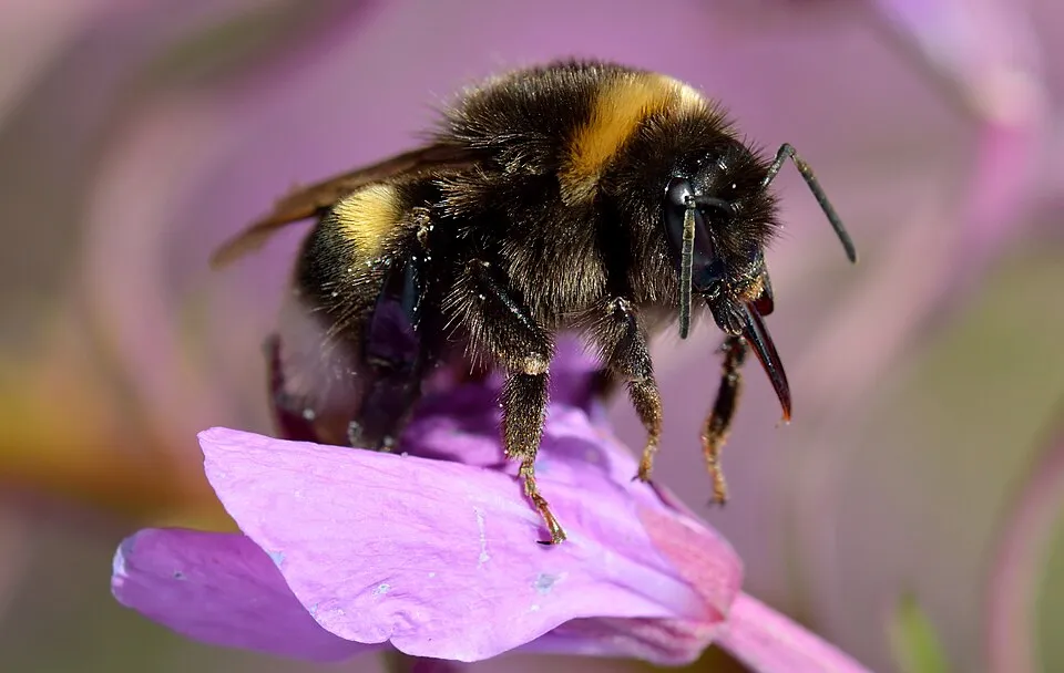
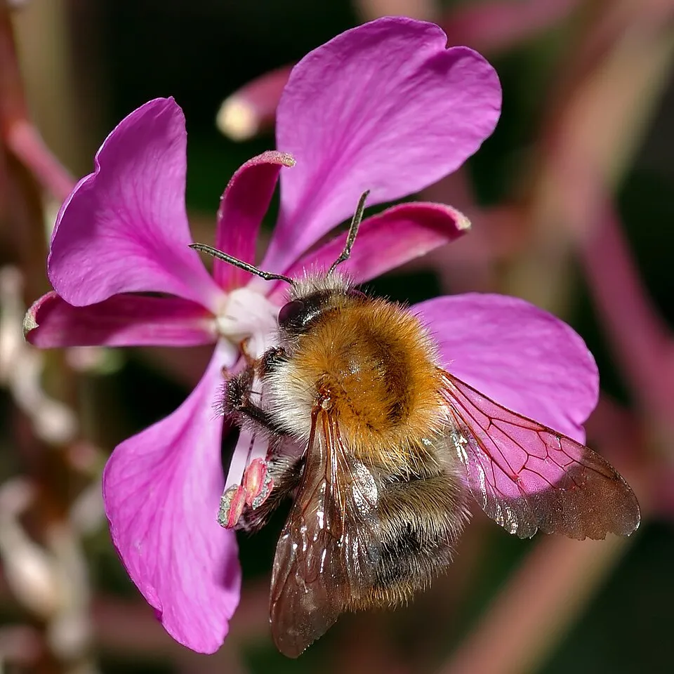
Among the species most often recorded on GBIF are Fringilla coelebs (Eurasian Chaffinch), Erithacus rubecula (European robin), Bombus lucorum (White-tailed bumblebee) and Bombus pascuorum (Common carder bumblebee).
What is the official website of Glenveagh National Park?
© OpenStreetMap
Download the boundary: GeoJSON · GPX Boundary © OpenStreetMap contributors (ODbL).
Geography
The representative point of the site lies at around 461 m above sea level. Over the 1996–2025 period, the mean annual temperature is about 7.4 °C and total precipitation reaches roughly 1,482 mm per year. The warmest month is usually August, the coolest January, and the wettest December. According to the European 1:1 million geological map (EGDI), recent unconsolidated deposits – peat (71% of sampled points) – cover most of the site; among the consolidated rocks: granites (29%). These are mostly sedimentary rocks. The geological units date mainly from the Quaternary (71% of sampled points). The site contains 5 lakes larger than 10 ha, totalling 3.7 km² of water; the largest, Lough Beagh, covers 2.4 km² (HydroLAKES). Lough Beagh (261 ha) is 46.5 m deep (Wikidata).
Area
- Area
- 16,050 ha
- Elevation
- 461 m
- Median elevation
- 247 m
- Mean slope
- 10°
- Lakes over 10 ha
- 5 (3.7 km²)
- Coordinates
- 55.0167, -8.05
Terrain: Mapzen Terrain Tiles (SRTM, USGS) · Lakes: HydroLAKES (Messager et al. 2016, hydrosheds.org, CC BY 4.0) · depths: Wikidata (CC0)
Bedrock
- Peat 71 %
- Granites 29 %
Sedimentary rocks 71 % · Igneous rocks 29 % · Main age: Quaternary (71%)
Source: EGDI 1:1M geological map (EuroGeoSurveys and national geological surveys), CC BY 4.0 · 14 sampled points within the site.
Main summits
- An Earagail751 m
- Slieve Snaght678 m
- Dooish652 m
- Drumnalifferny Mountain596 m
- Drumnalifferny Mountain NE Top585 m
- Bingorms578 m
- Dooish South-East Top554 m
- Drumnalifferny Far NE Top535 m
- Dooish SW Top528 m
- Cnoc na bhFaircheach517 m
Data © OpenStreetMap contributors (ODbL)
Climate
● Mean temperature (°C) · ▮ Precipitation (mm)
Source: Copernicus ERA5-Land (C3S, doi:10.24381/cds.68d2bb30), monthly averages 1996–2025 interpolated to the representative point, temperatures adjusted for elevation.
Contains modified Copernicus Climate Change Service information 2026. Neither the European Commission nor ECMWF is responsible for any use that may be made of the Copernicus information or data it contains.
Natural habitats
According to CORINE Land Cover (2018), the site is mainly made up of marshes and bogs (70%) and sparsely vegetated land (21%). Elevation ranges from about 40 m to 751 m (highest point: An Earagail). The 2 Natura 2000 sites overlapping the area list 9 habitats of European interest, the most extensive being blanket bogs (* if active bog), northern Atlantic wet heaths with Erica tetralix and Alpine and Boreal heaths.
Biodiversity
Based on occurrences aggregated by GBIF, several species are regularly recorded within the site. Among the most frequent are Fringilla coelebs (Eurasian Chaffinch), Erithacus rubecula (European robin), Bombus lucorum (White-tailed bumblebee) and Bombus pascuorum (Common carder bumblebee). The full list of documented taxa is shown below. The overlapping Natura 2000 sites list 13 species of European interest: 10 birds, 1 mammal, 1 fish and 1 invertebrate.
Habitats of European interest
From the official forms of the 2 Natura 2000 sites overlapping the area (areas reported for each whole site).
- Blanket bogs (* if active bog) 19,072 ha
- Northern Atlantic wet heaths with Erica tetralix 3,346 ha
- Alpine and Boreal heaths 2,008 ha
- Oligotrophic waters containing very few minerals of sandy plains (Littorelletalia uniflorae) 1,338 ha
- Water courses of plain to montane levels with the Ranunculion fluitantis and Callitricho-Batrachion vegetation 335 ha
- European dry heaths 335 ha
- Molinia meadows on calcareous, peaty or clayey-silt-laden soils (Molinion caeruleae) 335 ha
- Depressions on peat substrates of the Rhynchosporion 335 ha
and 1 more
Species of European interest
Birds · 10
Southern Dunlin (Calidris alpina schinzii) breeding, Merlin (Falco columbarius) resident, Peregrine Falcon (Falco peregrinus) resident, Red-throated Diver (Gavia stellata) breeding, Common Redstart (Phoenicurus phoenicurus) breeding, Wood Warbler (Phylloscopus sibilatrix) breeding, European Golden Plover (Pluvialis apricaria) breeding, Whinchat (Saxicola rubetra) breeding, Eurasian Blackcap (Sylvia atricapilla) breeding, Ring Ouzel (Turdus torquatus) breeding
Mammals · 1
Fish · 1
Invertebrates · 1
Source: Natura 2000 standard data forms (EEA, CC-BY 4.0). Not exhaustive: sensitive species are not published.
Species to look out for

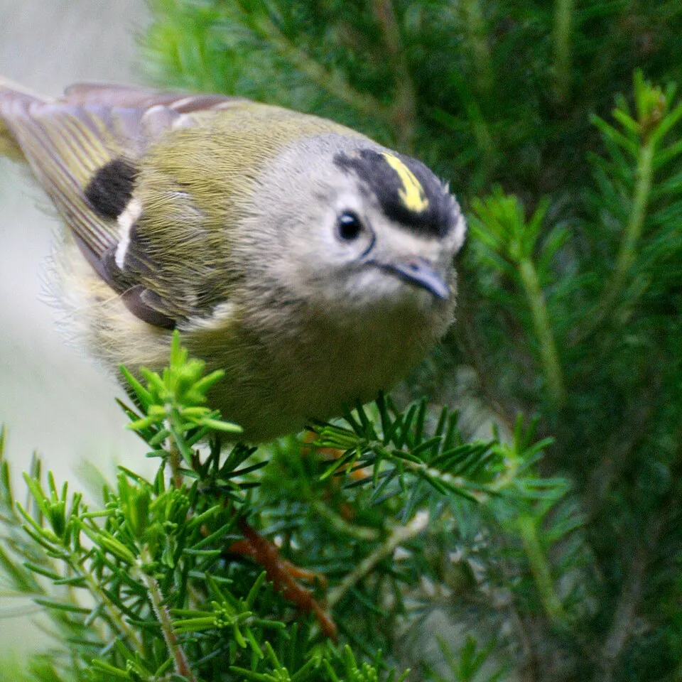
Observed species
Occurrences documented via GBIF; they are neither an exhaustive inventory nor proof of current presence.
- Eurasian Chaffinch · Fringilla coelebs · 157
- European robin · Erithacus rubecula · 152
- White-tailed bumblebee · Bombus lucorum · 100
- Common carder bumblebee · Bombus pascuorum · 95
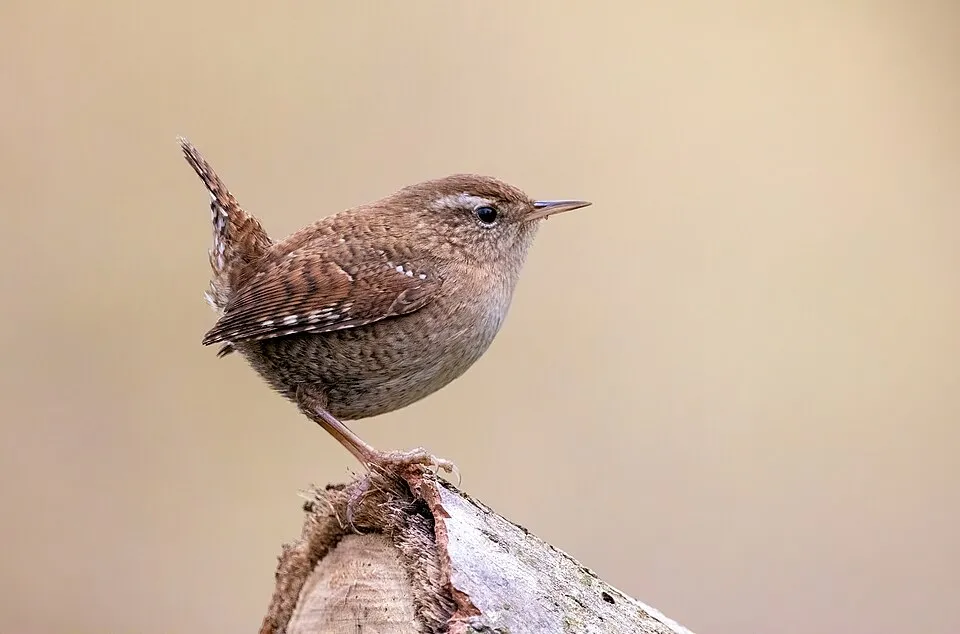
- Eurasian Wren · Troglodytes troglodytes · 95
- Goldcrest · Regulus regulus · 90
- Common Blackbird · Turdus merula · 81
- Meadow Pipit · Anthus pratensis · 74
- Bulbous rush · Juncus bulbosus · 70
- Northern Raven · Corvus corax · 68
- Hooded Crow · Corvus cornix · 68
- Eurasian blue tit · Cyanistes caeruleus · 66
+18 more species
- Great tit · Parus major · 65
- Coal tit · Periparus ater · 64
- Eurasian Siskin · Spinus spinus · 63
- Barn Swallow · Hirundo rustica · 61
- Willow Warbler · Phylloscopus trochilus · 59
- Song Thrush · Turdus philomelos · 59
- Shoreweed · Littorella uniflora · 58
- Common Wood Pigeon · Columba palumbus · 56
- Eurasian Blackcap · Sylvia atricapilla · 52
- Prickly Heath · Gaultheria mucronata · 52
- Eurasian Treecreeper · Certhia familiaris · 47
- Mistle Thrush · Turdus viscivorus · 42
- European Stonechat · Saxicola rubicola · 41
- Blue-winged Olive · Serratella ignita · 39
- Eurasian Magpie · Pica pica · 38
- Limnius volckmari · 34
- Common Cuckoo · Cuculus canorus · 34
- Water lobelia · Lobelia dortmanna · 34
Records: GBIF.org (CC-BY). Names: Wikidata (CC0), GBIF. Photos: Wikimedia Commons.
Conservation challenges
The primary purpose of the site is to preserve its natural habitats and the biodiversity they support. The species recorded (Biodiversity tab) reflect its ecological value. The designations it holds frame its management and the control of land use.
According to Global Forest Change data (University of Maryland, Global Forest Watch), about 34 ha of tree cover were lost within the boundary between 2001 and 2023 (under 1% of its area), peaking in 2007 and 2016. These losses include logging, storms and fires, and do not account for regrowth. According to CORINE Land Cover, land cover here remained almost unchanged between 1990 and 2018 (less than 0.5% of the area affected). At night, the area gives off virtually no artificial light detectable from space (NASA VIIRS Black Marble composite, 2016). According to the Natura 2000 forms, of 9 assessed habitats of European interest, 3 are in excellent condition and the rest in good condition. According to the Water Framework Directive assessment (2022 river basin management plans, data 2016–2021), 59% of the 213 km of rivers assessed within the site are in good or high ecological status. Other assessed water bodies: lakes, 7 of 7 in good ecological status or better. Since 2000, 6 invasive alien species have been recorded within the site (GBIF observations), 3 of them listed as of Union concern under EU Regulation 1143/2014. Among them: Gunnera tinctoria (Chilean gunnera), Lysichiton americanus (American skunkcabbage) and Mustela vison (American mink).
Pressure indicators
Tree cover lost
34 ha
2001–2023 · < 1% of the area
20012023
Fires since 2016
0
No large fire mapped (fires over about 30 ha)
Light at night
0%
of the area gives off artificial light visible from space
DarkLit
Land cover change
< 0.5%
of the area changed, 1990–2018 · CORINE
Rivers and lakes
59%
of the 213 km of assessed rivers in good or high ecological status · WFD 2022
Lakes: 7 of 7 good or better
assessments 2016–2021
Invasive alien species
6
incl. 3 of EU concern · since 2000
 Chilean gunneraEU
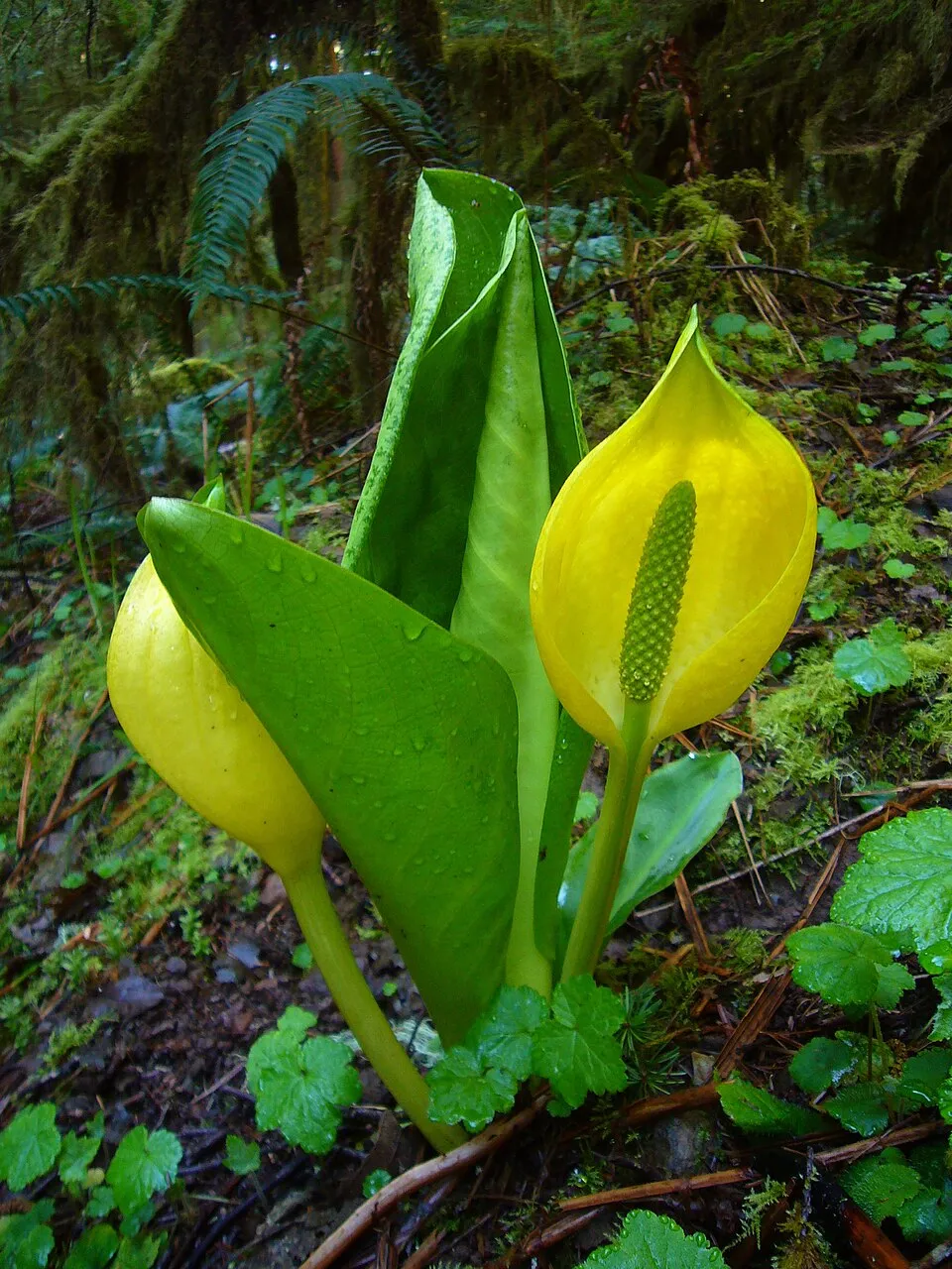 American skunkcabbageEU
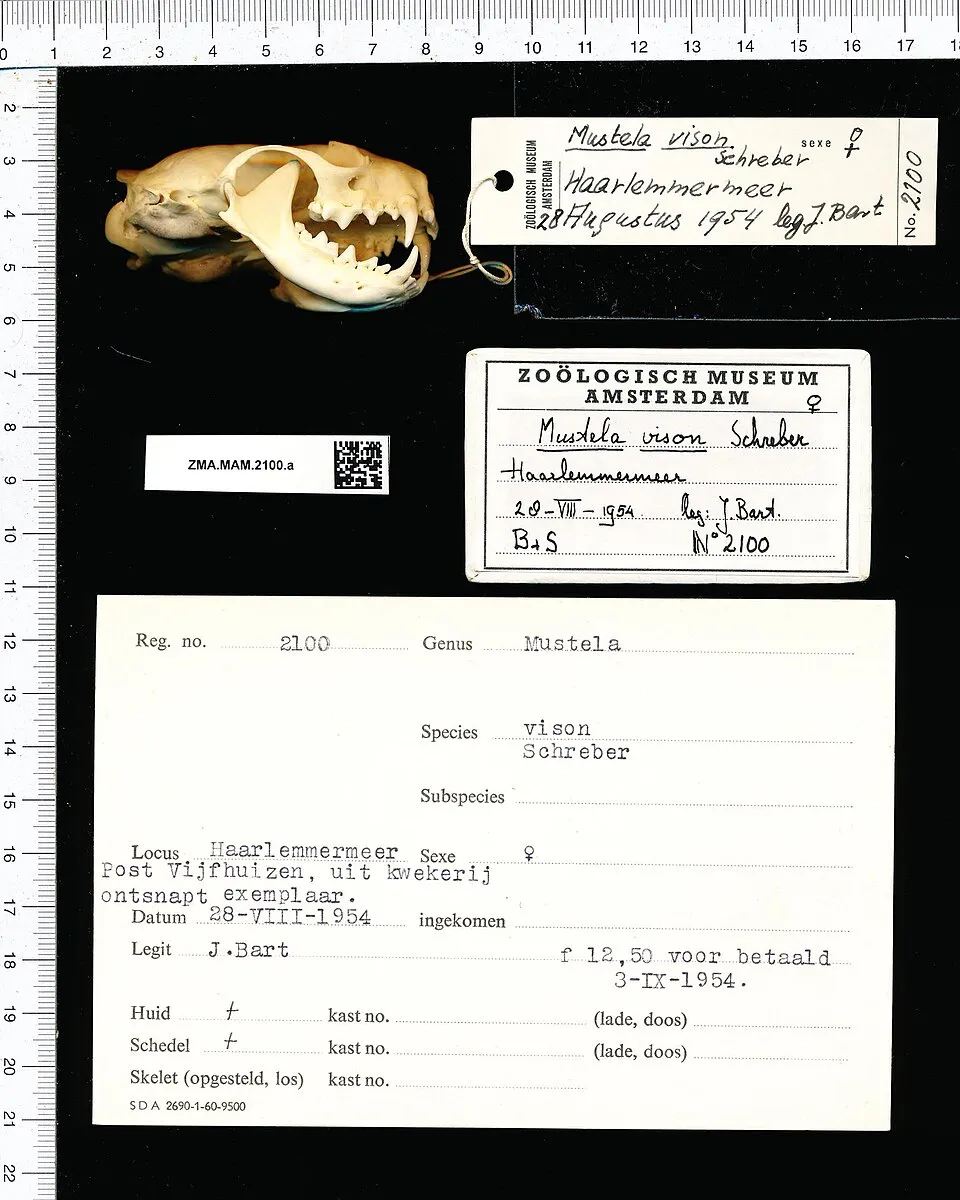 American minkEU
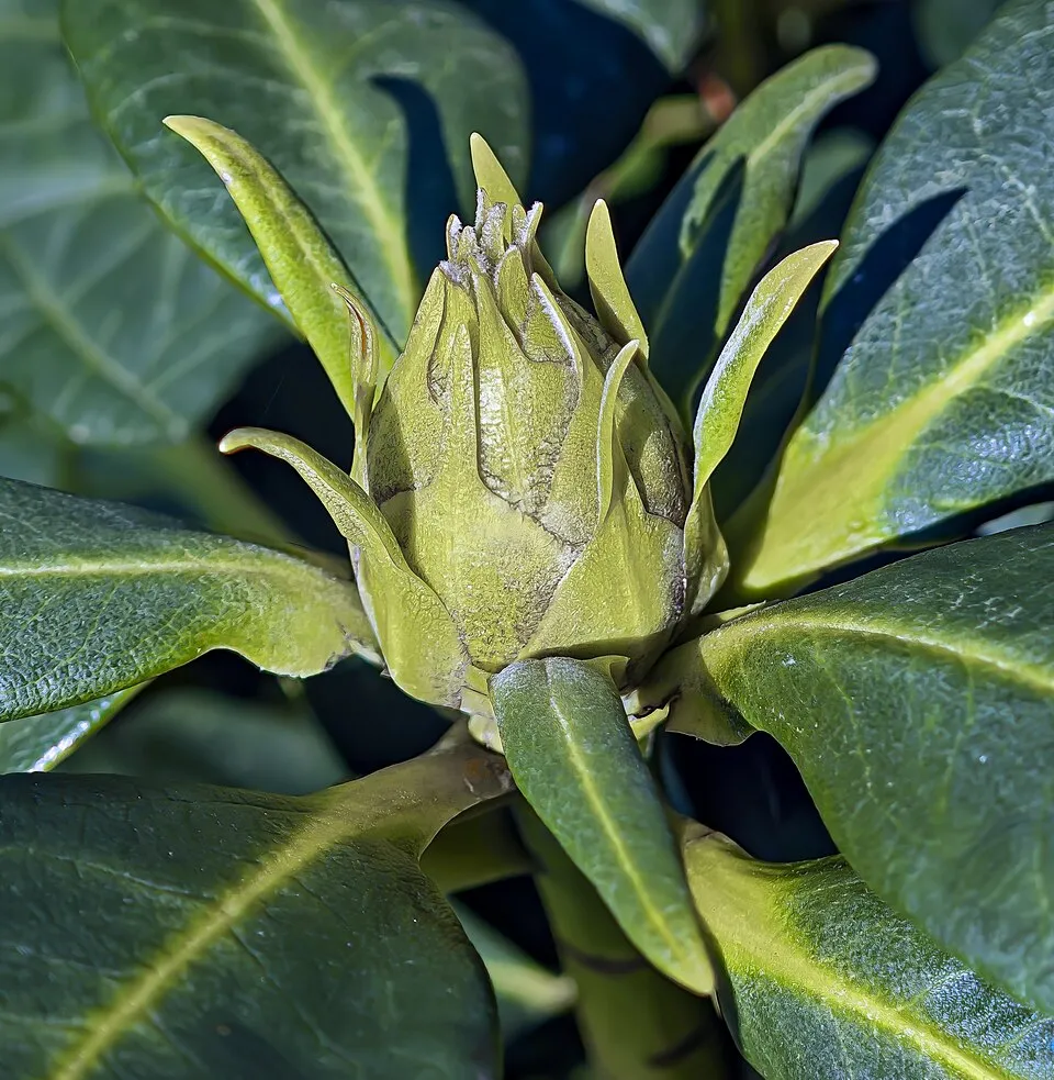 Rhododendron
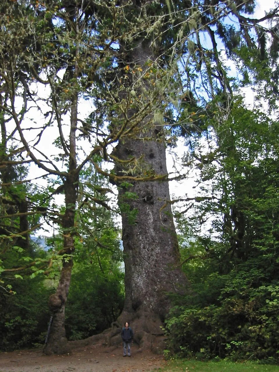 Sitka Spruce
 Japanese rose
Photos: Chilean gunnera © Margaret Donald · CC BY-SA 2.0; American skunkcabbage © Martin Bravenboer · Public domain; American mink © Schreber · CC0-1.0; Rhododendron © Didier Descouens · CC BY-SA 4.0; Sitka Spruce © Wsiegmund · CC BY 2.5; Japanese rose © Vihljun · Public domain
Sources: Global Forest Change (Hansen et al., University of Maryland, via Global Forest Watch, CC-BY 4.0); EFFIS, European Commission / Copernicus; NASA Black Marble 2016 (public domain); CORINE Land Cover 2018 (Copernicus) or MODIS.
CORINE Land Cover Change 1990–2018: generated using European Union's Copernicus Land Monitoring Service information (EEA), aggregated by Parkavela; DOI 10.2909/f30f1000-7cf8-43bb-872c-5eb093911b24.
Ecological status of water bodies: European Environment Agency, WISE – Water Framework Directive, 3rd river basin management plans (2022), CC BY 4.0. Official national classification, not comparable between countries.
Invasive alien species: Global Register of Introduced and Invasive Species (ISSG, CC BY 4.0); Union list, Regulation (EU) 1143/2014 (INBO, CC0); GBIF.org records (CC0 / CC BY 4.0), at least 2 per species.
Practical information
Cities and airport
- Derry
35 km as the crow flies - Airport: Derry (LDY)
46 km as the crow flies
Visitor information
- Glenveagh National Park Visitor Centre
within the site
Parking
4 public car parks listed within the site
Things to see
6 lakes and ponds
- Croloughan Lough
lake or pond - Glentornan Lough
lake or pond - Lough Inshagh
lake or pond - Lough Nabrackbaddy
lake or pond - Lough Nambraddan
lake or pond
Hiking
1 waymarked routes listed, including:
Slí An Earagail
Wheelchair access
- Glenveagh National Park Visitor Centre
visitor information
accessible toilets: 2
Reported by OpenStreetMap contributors (ODbL); check with the park before visiting.
Data © OpenStreetMap contributors (ODbL) · Wikidata (CC0)
Waymarked hiking routes
Tracks © OpenStreetMap contributors (ODbL), clipped to the boundary; elevation gain and profiles computed on the longest section from Mapzen Terrain Tiles (≈ 30 m), indicative only.
Access and visiting
Nearest towns of over 50,000 people, as the crow flies: Derry (35 km). Nearest airport: Derry (LDY), about 46 km away. About 72,000 people live within 20 km of the site boundary, 25,000 of them within 10 km; some 180 people are estimated to live inside (GHSL estimate, 2020). This population has grown by about 37% since 2000. Visitor information on site: Glenveagh National Park Visitor Centre. Public car parks listed within the site: 4. Waymarked hiking routes listed in OpenStreetMap: 1, including Slí An Earagail. OpenStreetMap contributors list one wheelchair-accessible place: Glenveagh National Park Visitor Centre; check with the park before visiting. To see: 6 lakes and ponds, including Croloughan Lough, Glentornan Lough, Lough Inshagh and Lough Nabrackbaddy. To plan a visit (access, opening periods, visitor rules), it is best to consult the official information from the managing body and the official website listed in this page's sources.
Source: OpenStreetMap (ODbL), Wikidata (CC0), October 2026.
When to visit
Best time to visit: from June to September, with average temperatures of 10 to 12 °C and moderate rainfall. Day length ranges from about 7 h 12 min in December to 17 h 20 min in June. Wildlife records published on GBIF peak for birds (from April to July), plants (July), butterflies and moths (May) and mammals (May and June). These peaks also reflect when observers are most active.
Source: Copernicus ERA5-Land (C3S), monthly averages 1996–2025 at the representative point, temperatures adjusted for elevation.
Contains modified Copernicus Climate Change Service information 2026. Neither the European Commission nor ECMWF is responsible for any use that may be made of the Copernicus information or data it contains.
Wildlife records calendar
JFMAMJJASOND
Birds
Plants
Butterflies & moths
Mammals
Monthly records published on GBIF (CC-BY), relative to the busiest month; also reflects observer activity.
Gallery
© Patrice78500 · Public domain
© Seighean · Public domain
© Raphael Schön · CC BY 2.0
© Michal Osmenda from Brussels, Belgium · CC BY-SA 2.0
© Jon Sullivan · Public domain
© Karie Kuiper · CC BY-SA 4.0
Sources and licences
- Wikidata: Q140033
- OpenStreetMap: relation 7524383
- Official website: https://www.nationalparks.ie/ga/glenveagh/
- Wikipedia: en.wikipedia.org/wiki/Glenveagh
References
- cds.climate.copernicus.eu: climate · CC-BY-4.0
- registry.opendata.aws: elevation of the reference point, detailed relief · PD
- land.copernicus.eu: land cover, land cover change, sea share · COPERNICUS
- doi.org: population around the site · CC-BY-4.0
- wikidata.org: official area, highest point, establishment date, protected heritage, nearby cities and airport, access and peaks, lake depths, places to see, official website · CC0-1.0
- eea.europa.eu: bathing water quality, ecological status of waters · CC-BY-4.0
- en.eurovelo.com: EuroVelo cycle routes · ODbL-1.0
- cycling.waymarkedtrails.org: cycle routes · ODbL-1.0
- opentopodata.org: elevations · PD
- forest-fire.emergency.copernicus.eu: wildfires · COPERNICUS
- globalforestwatch.org: tree cover loss · CC-BY-4.0
- gbif.org: seasonality of sightings, invasive alien species, observed species · CC-BY-4.0
- europe-geology.eu: geology · CC-BY-4.0
- hydrosheds.org: lakes · CC-BY-4.0
- natura2000.eea.europa.eu: Natura 2000 habitats and species · CC-BY-4.0
- openstreetmap.org: official name, access and peaks, trail difficulty, wheelchair access · ODbL-1.0
- earthobservatory.nasa.gov: night light · PD
- hiking.waymarkedtrails.org: route difficulty · ODbL-1.0
- nsidc.org: snow cover · PD
- wikidata.org: Wikipedia article · CC-BY-SA-4.0
Data © OpenStreetMap contributors (ODbL), Wikidata (CC0) and the sources cited.
