
Germany · Terrestrial
Rhineland Nature Park
Nature park of 104,500 hectares in Germany, established in 1959.
Overview
Nature park of 104,500 hectares in Germany, established in 1959.
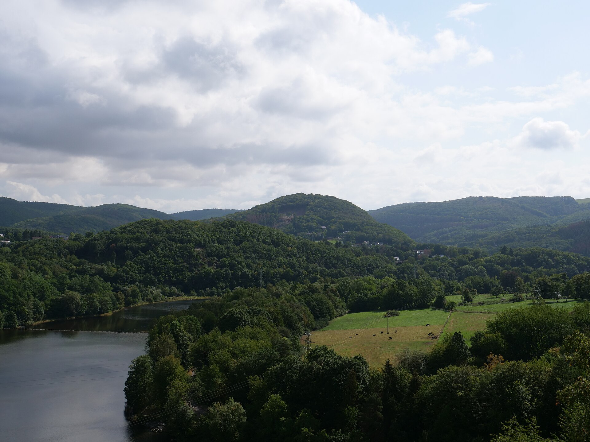
Rhineland Nature Park is located in Germany (Europe). It is a predominantly terrestrial area. Established in 1959, it covers about 104,500 hectares.
Protections and designations
Natura 2000 · habitats (SAC) · 15 sites
- Altwald Ville DE5207303
- Dickbusch, Loersfelder Busch, Steinheide DE5105301
- Heider Bergsee und Schluchtsee in der Ville-Seenkette DE5107304
- Kaolingrube Oedingen DE5309303
- Kerpener Bruch und Parrig DE5106301
- Knechtstedener Wald mit Chorbusch DE4806303
- and 9 more
Natura 2000 · birds (SPA)
- Vogelschutzgebiet Kottenforst-Waldville DE5308401
Protected as a nature park. International labels and designations: Natura 2000 network (16 sites). Key dates: established in 1959, first Natura 2000 site under the Habitats Directive in 2003 and first Natura 2000 site under the Birds Directive in 2004.
In our collections
Timeline
-
1959
Established
-
2003
First Natura 2000 site under the Habitats Directive 15 such sites designated up to 2005
-
2004
First Natura 2000 site under the Birds Directive
Sources: Wikidata (CC0) for establishment and international labels; EEA Natura 2000 database (CC-BY 4.0) for site designation dates.
Frequently asked questions
Where is Rhineland Nature Park?
In Germany (Europe). Representative point: 50.8194° N, 6.8528° E.
How large is Rhineland Nature Park?
About 104,500 hectares (1,045 km²). It is the 29th largest of the 66 nature parks in Germany covered by Parkavela.
When was Rhineland Nature Park established?
In 1959.
What habitats and landscapes does Rhineland Nature Park include?
A terrestrial area, where land cover is dominated by farmland (52%).
What rocks lie beneath Rhineland Nature Park?
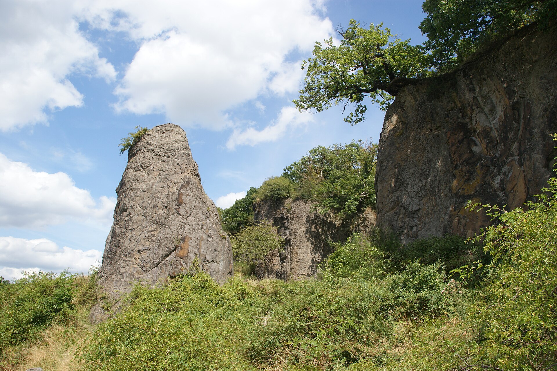
According to the European 1:1 million geological map (EGDI), the bedrock consists mainly of sands and gravels (69% of sampled points) and clays and silts (23%). These are mostly sedimentary rocks. The geological units date mainly from the Quaternary (77% of sampled points).
What is the highest point of Rhineland Nature Park?
Hochkopf, at 380 m (OpenStreetMap).
What are the main summits of Rhineland Nature Park?
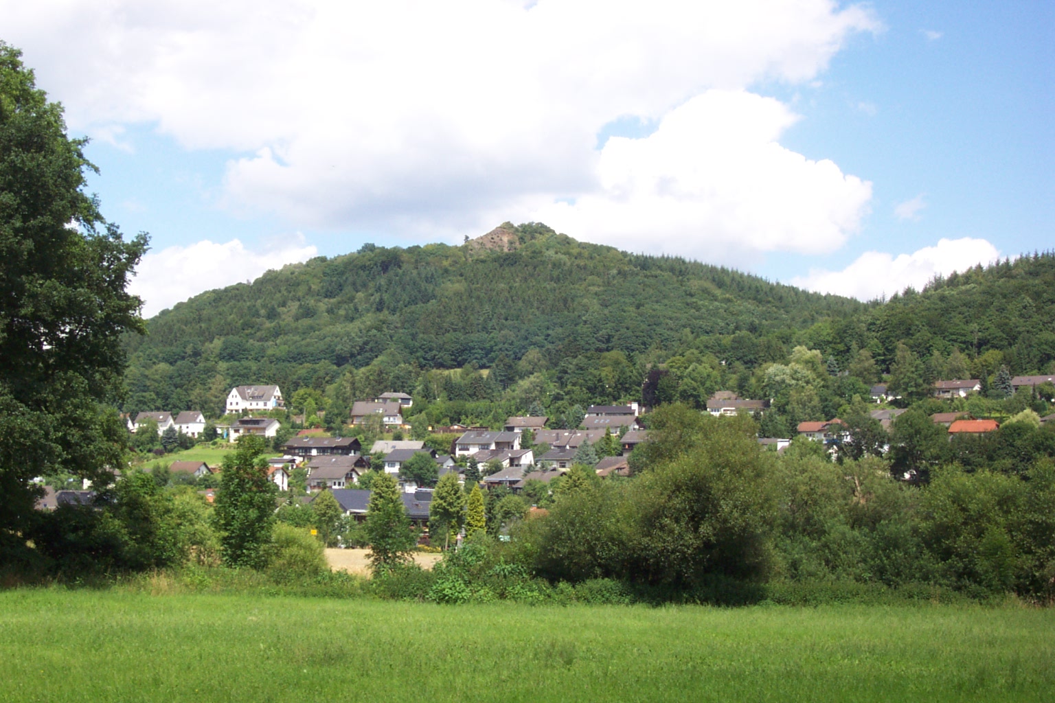
Hochkopf (380 m), Speckelstein (315 m), Tomberg (309 m), Lauerzberg (307 m) and Watzenberg (300 m) (OpenStreetMap).
Which international labels apply to Rhineland Nature Park?
Natura 2000 network (16 sites).
When is the best time to visit Rhineland Nature Park?
Best time to visit: from May to October, with average temperatures of 11 to 19 °C and moderate rainfall.
What is there to see in Rhineland Nature Park?
84 viewpoints, 6 waterfalls, 122 lakes and ponds, 1 cave and 1 bird hide, including Aussichtspunkt Böhling, Ausgleichsbecken, Zwergenloch and Vogelbeobachtungshütte (OpenStreetMap).
Where can I stay in Rhineland Nature Park?
13 campsites, including Am neuen Wasserwerk Rheinbach, Camingplatz Heider Bergsee and Campingplatz Katzenloch (OpenStreetMap).
Can you swim in Rhineland Nature Park?
7 monitored bathing sites lie in or within 1 km of the site; official 2025 classification: 7 excellent (European Environment Agency). Swimming is only permitted at the sites and times authorised locally.
What is the nearest large city to Rhineland Nature Park?
Nearest towns of over 50,000 people, as the crow flies: Hürth (within the area) and Euskirchen (within the area). Nearest airport: Cologne Bonn (CGN), about 7 km away.
How can I reach Rhineland Nature Park by train?
Nemmenich railway station lies within the site.
Where can I get visitor information on site?
Tourist-Information, Bergheim meine Stadt and SVE KundenCenter.
Are there waymarked hiking trails in Rhineland Nature Park?
Yes. Waymarked hiking routes listed in OpenStreetMap: 104, including E 8 (4 390 km), Jakobs-Pilgerweg Köln, Wanderweg der Deutschen Einheit (Bad Godesberg and Tomberg-Runde. The “HWW2 · Ville-Eifel-Weg” route runs for about 48 km through the site, with some 160 m of ascent on its longest section.
Which species can be seen in Rhineland Nature Park?
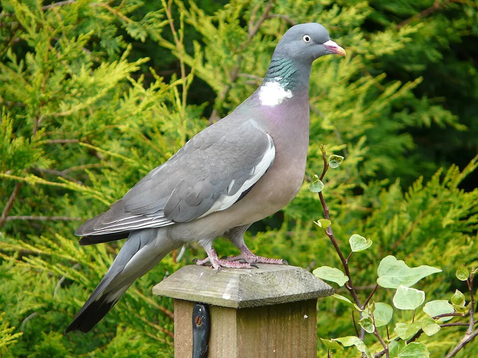
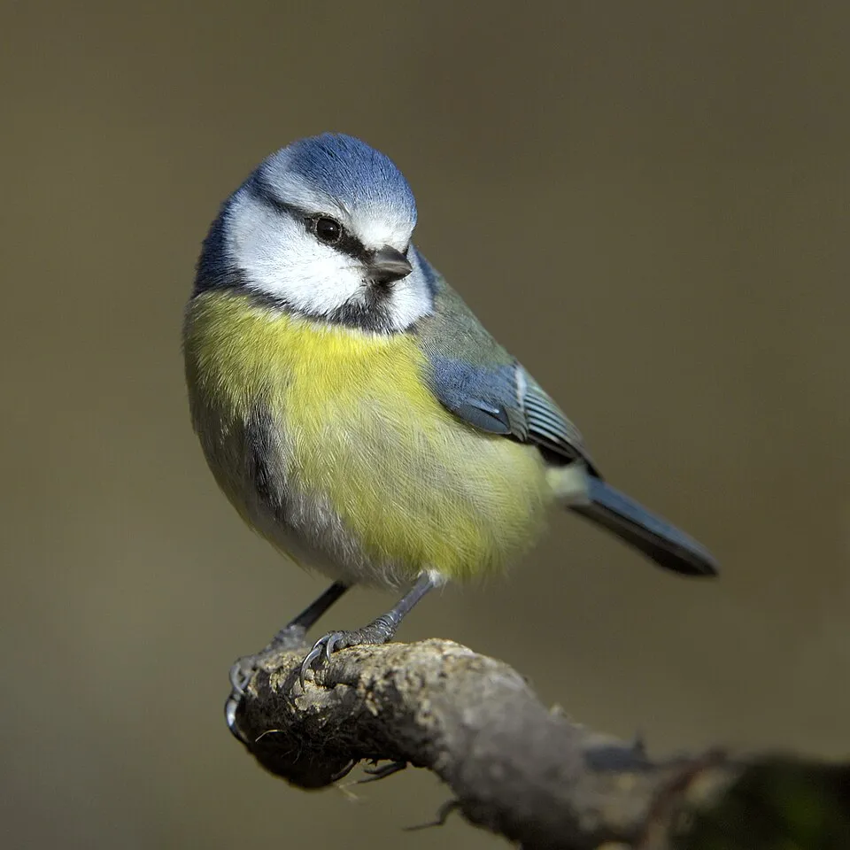
Among the species most often recorded on GBIF are Turdus merula (Common Blackbird), Parus major (Great tit), Columba palumbus (Common Wood Pigeon) and Cyanistes caeruleus (Eurasian blue tit).
© OpenStreetMap
Download the boundary: GeoJSON · GPX Boundary © OpenStreetMap contributors (ODbL).
Geography
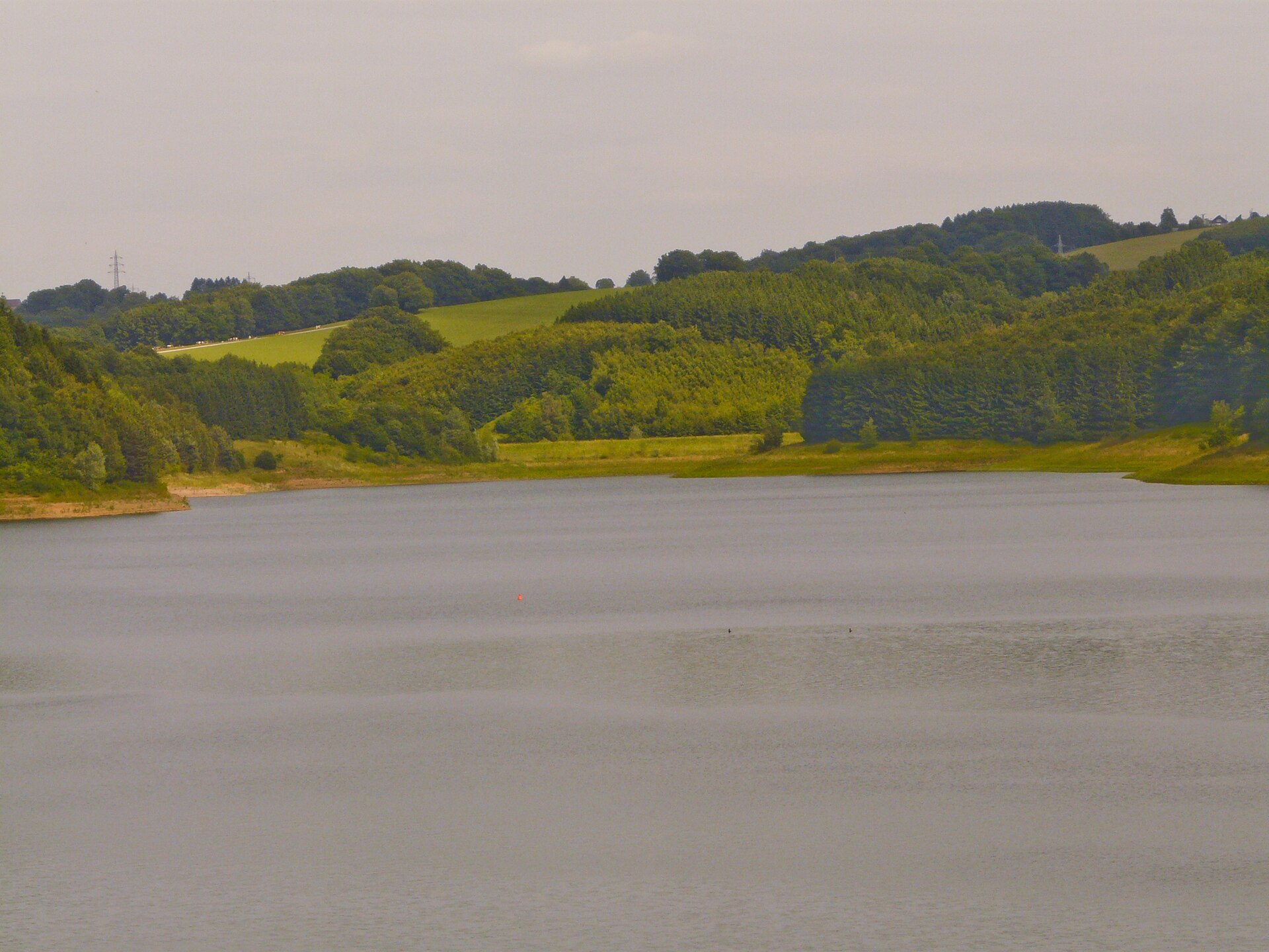
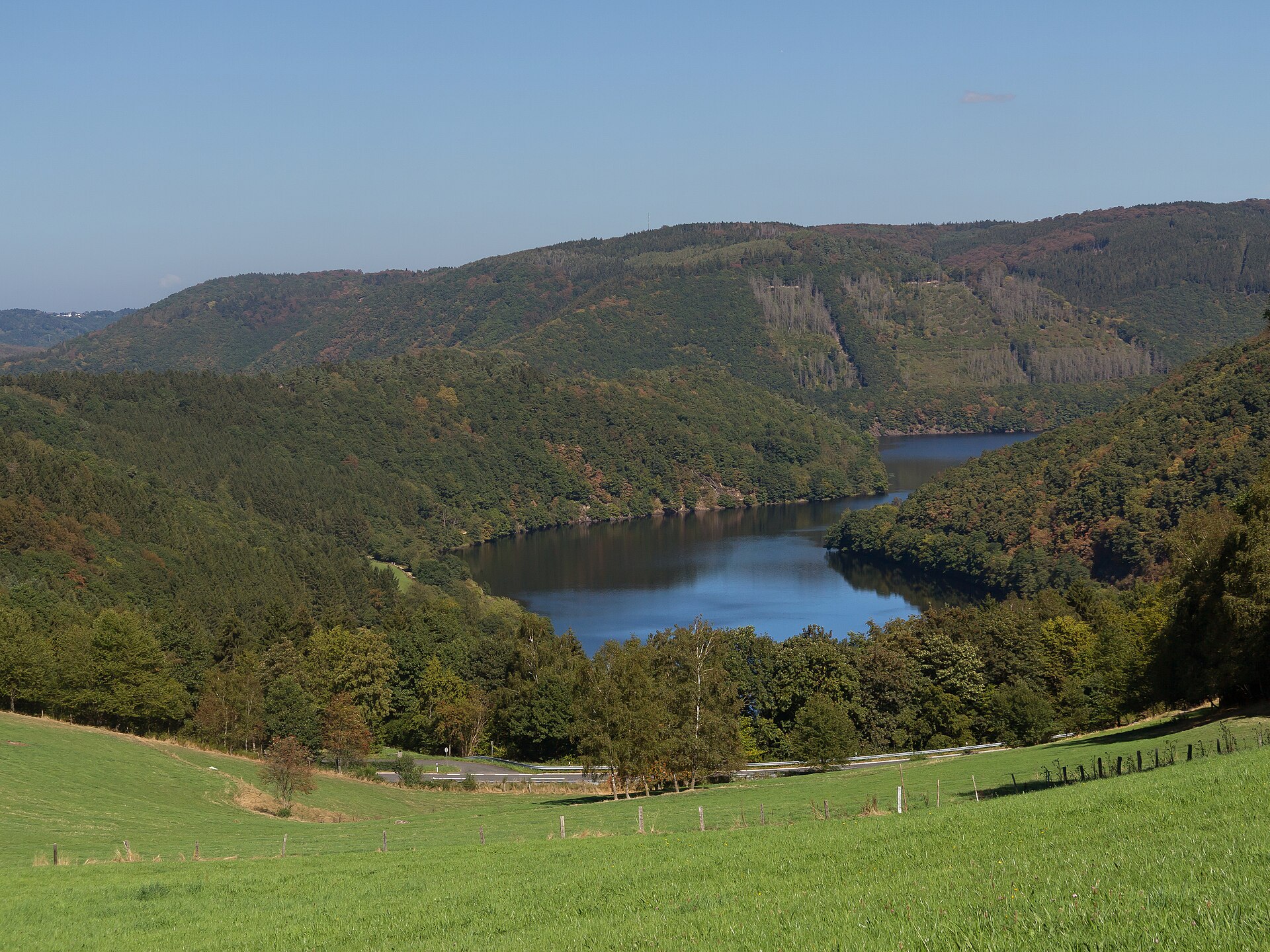
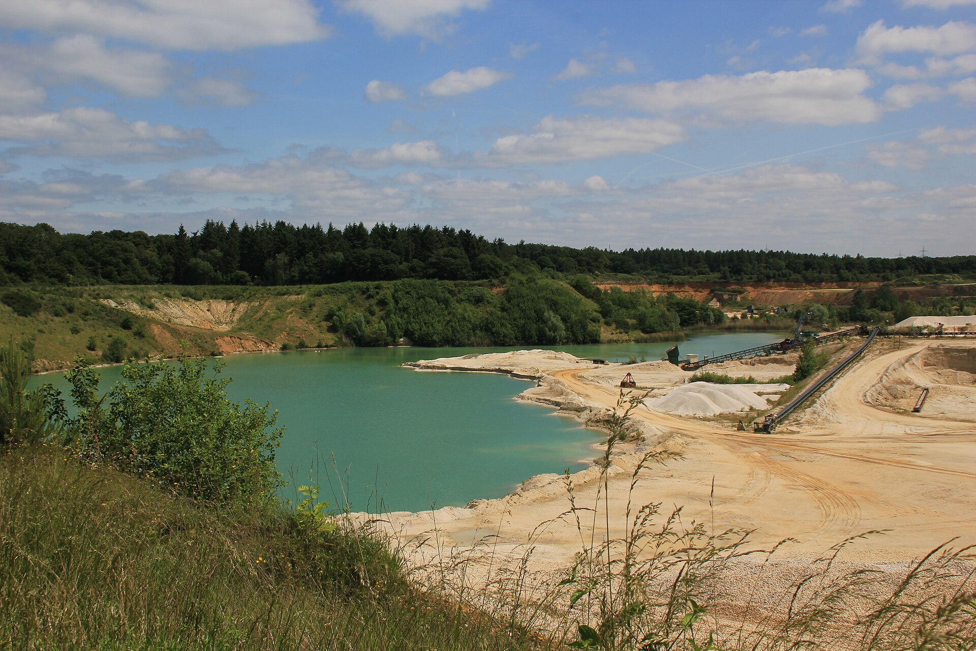
The representative point of the site lies at around 112 m above sea level. Over the 1996–2025 period, the mean annual temperature is about 10.5 °C and total precipitation reaches roughly 854 mm per year. The warmest month is usually July, the coolest January, and the wettest July. According to the European 1:1 million geological map (EGDI), the bedrock consists mainly of sands and gravels (69% of sampled points) and clays and silts (23%). These are mostly sedimentary rocks. The geological units date mainly from the Quaternary (77% of sampled points). The site contains 25 lakes larger than 10 ha, totalling 7.3 km² of water; the largest, Zülpicher See, covers 84 ha (HydroLAKES).
Area
- Area
- 104,500 ha
- Elevation
- 112 m
- Lakes over 10 ha
- 25 (7.3 km²)
- Coordinates
- 50.8194, 6.8528
Lakes: HydroLAKES (Messager et al. 2016, hydrosheds.org, CC BY 4.0) · depths: Wikidata (CC0)
Bedrock
- Sands and gravels 69 %
- Clays and silts 23 %
- Mudstones 8 %
Sedimentary rocks 100 % · Main age: Quaternary (77%)
Source: EGDI 1:1M geological map (EuroGeoSurveys and national geological surveys), CC BY 4.0 · 13 sampled points within the site.
Main summits
- Hochkopf380 m
- Speckelstein315 m
- Tomberg309 m
- Lauerzberg307 m
- Watzenberg300 m
- Billigsknipp291 m
- Beuelskopf291 m
- Kesselberg286 m
- Strohberg285 m
- Alter Burgberg272 m
Data © OpenStreetMap contributors (ODbL)
Climate
● Mean temperature (°C) · ▮ Precipitation (mm)
Source: Copernicus ERA5-Land (C3S, doi:10.24381/cds.68d2bb30), monthly averages 1996–2025 interpolated to the representative point, temperatures adjusted for elevation.
Contains modified Copernicus Climate Change Service information 2026. Neither the European Commission nor ECMWF is responsible for any use that may be made of the Copernicus information or data it contains.
Natural habitats
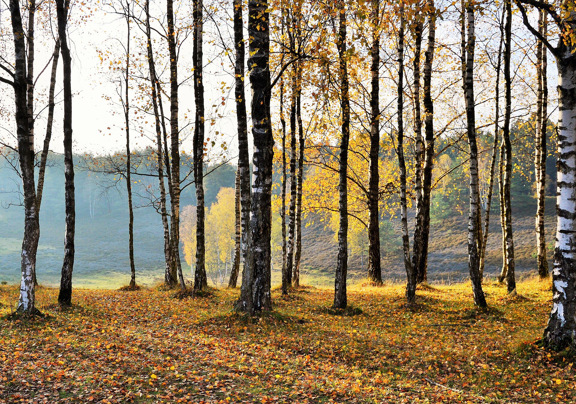
According to CORINE Land Cover (2018), the site is mainly made up of farmland (52%), built-up or developed land (21%) and forests (20%). Elevation ranges from about 40 m to 380 m (highest point: Hochkopf). The 16 Natura 2000 sites overlapping the area list 13 habitats of European interest (2 priority), the most extensive being Sub-Atlantic and medio-European oak or oak-hornbeam forests of the Carpinion betuli, Asperulo-Fagetum beech forests and Luzulo-Fagetum beech forests.
Biodiversity
Based on occurrences aggregated by GBIF, several species are regularly recorded within the site. Among the most frequent are Turdus merula (Common Blackbird), Parus major (Great tit), Columba palumbus (Common Wood Pigeon) and Cyanistes caeruleus (Eurasian blue tit). The full list of documented taxa is shown below. The overlapping Natura 2000 sites list 15 species of European interest: 10 birds, 1 amphibian, 2 invertebrates and 2 plants.
Habitats of European interest
From the official forms of the 16 Natura 2000 sites overlapping the area (areas reported for each whole site).
- Sub-Atlantic and medio-European oak or oak-hornbeam forests of the Carpinion betuli 1,383 ha
- Asperulo-Fagetum beech forests 682 ha
- Luzulo-Fagetum beech forests 472 ha
- Riparian mixed forests of Quercus robur, Ulmus laevis and Ulmus minor, Fraxinus excelsior or Fraxinus angustifolia, along the great rivers (Ulmenion minoris) 150 ha
- Lowland hay meadows (Alopecurus pratensis, Sanguisorba officinalis) 60 ha
- Hard oligo-mesotrophic waters with benthic vegetation of Chara spp. 51 ha
- Alluvial forests with Alnus glutinosa and Fraxinus excelsior (Alno-Padion, Alnion incanae, Salicion albae) priority 33 ha
- Natural eutrophic lakes with Magnopotamion or Hydrocharition-type vegetation 4 ha
and 5 more
Species of European interest
Birds · 10
Common Kingfisher (Alcedo atthis) breeding, Eurasian Eagle-owl (Bubo bubo) breeding, Black Stork (Ciconia nigra) passage, Black Woodpecker (Dryocopus martius) breeding, Middle spotted woodpecker (Leiopicus medius) breeding, Common Nightingale (Luscinia megarhynchos) breeding, Red Kite (Milvus milvus) breeding, Eurasian Golden Oriole (Oriolus oriolus) breeding, European honey buzzard (Pernis apivorus) breeding, Grey-headed Woodpecker (Picus canus) breeding
Amphibians · 1
Invertebrates · 2
Stag beetle (Lucanus cervus), Dusky Large Blue (Maculinea nausithous)
Plants · 2
Dichelyma moss (Dichelyma capillaceum), Floating water-plantain (Luronium natans)
Source: Natura 2000 standard data forms (EEA, CC-BY 4.0). Not exhaustive: sensitive species are not published.
Species to look out for

Observed species
Occurrences documented via GBIF; they are neither an exhaustive inventory nor proof of current presence.
- Common Blackbird · Turdus merula · 4863
- Great tit · Parus major · 4389
- Common Wood Pigeon · Columba palumbus · 4080
- Eurasian blue tit · Cyanistes caeruleus · 3823
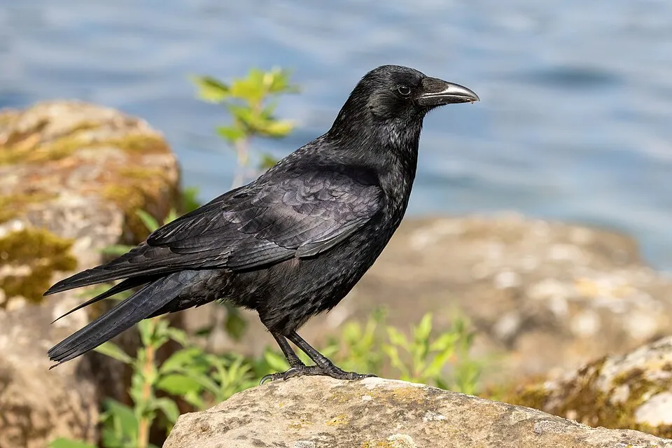
- Carrion crow · Corvus corone · 3781
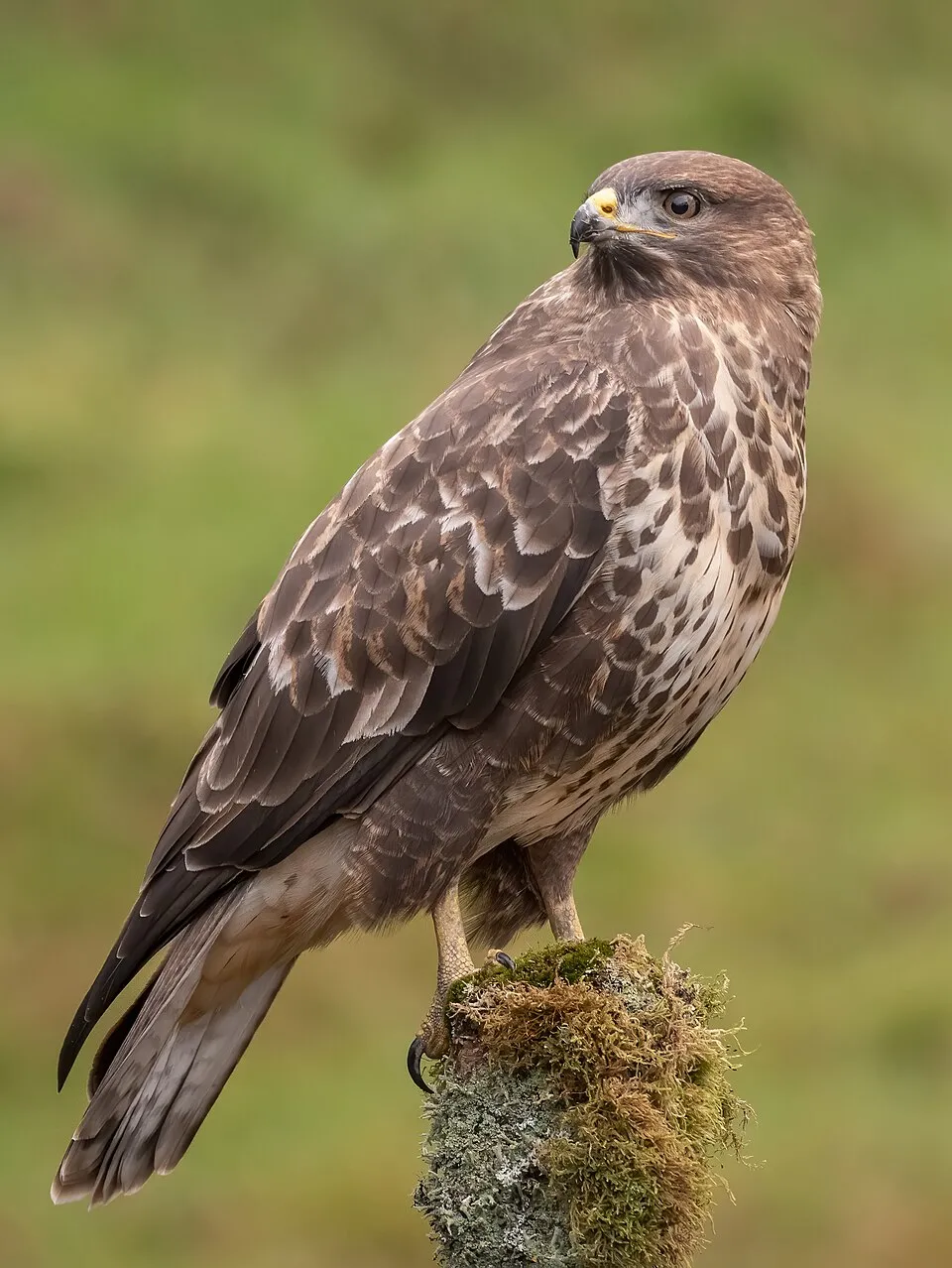
- Common Buzzard · Buteo buteo · 3599
- Eurasian Chaffinch · Fringilla coelebs · 3473
- Eurasian Magpie · Pica pica · 3254
- European robin · Erithacus rubecula · 3185
- House Sparrow · Passer domesticus · 2555
- Grey Heron · Ardea cinerea · 2507
- Great Spotted Woodpecker · Dendrocopos major · 2437
+18 more species
- Common Starling · Sturnus vulgaris · 2406
- Mallard · Anas platyrhynchos · 2288
- Eurasian Wren · Troglodytes troglodytes · 2251
- Eurasian Jay · Garrulus glandarius · 2249
- European Greenfinch · Chloris chloris · 2173
- European Goldfinch · Carduelis carduelis · 1975
- Dunnock · Prunella modularis · 1923
- Common Crane · Grus grus · 1898
- Common Kestrel · Falco tinnunculus · 1898
- Common Chiffchaff · Phylloscopus collybita · 1752
- European Green Woodpecker · Picus viridis · 1465
- Common Coot · Fulica atra · 1424
- Yellowhammer · Emberiza citrinella · 1388
- Great Cormorant · Phalacrocorax carbo · 1354
- Black Redstart · Phoenicurus ochruros · 1316
- Eurasian Nuthatch · Sitta europaea · 1312
- White Wagtail · Motacilla alba · 1278
- Eurasian Collared Dove · Streptopelia decaocto · 1268
Records: GBIF.org (CC-BY). Names: Wikidata (CC0), GBIF. Photos: Wikimedia Commons.
Conservation challenges
The primary purpose of the site is to preserve its natural habitats and the biodiversity they support. The species recorded (Biodiversity tab) reflect its ecological value. The designations it holds frame its management and the control of land use.
According to Global Forest Change data (University of Maryland, Global Forest Watch), about 2,690 ha of tree cover were lost within the boundary between 2001 and 2023 (3% of its area), peaking in 2019 and 2020. These losses include logging, storms and fires, and do not account for regrowth. According to the European CORINE Land Cover inventory (Copernicus), land cover changed on about 9,010 ha of the site between 1990 and 2018 (8% of its area): built-up land grew by 3,364 ha, mostly at the expense of farmland, while farmland shrank by 1,700 ha, mostly giving way to built-up land. At night, 60% of the area gives off artificial light detectable from space (NASA VIIRS Black Marble composite, 2016). Built-up and developed land (buildings, business areas, roads, quarries) covers 21% of the area, and farmland 52% (CORINE Land Cover). According to the Natura 2000 forms, of 12 assessed habitats of European interest, 3 are in excellent condition and 1 in average or reduced condition. According to the Water Framework Directive assessment (2022 river basin management plans, data 2018–2019), only 0% of the 432 km of rivers assessed within the site are in good or high ecological potential; the others mostly have poor ecological potential. Other assessed water bodies: lakes, 2 of 5 in good ecological status or better. Since 2000, 68 invasive alien species have been recorded within the site (GBIF observations), 17 of them listed as of Union concern under EU Regulation 1143/2014. Among them: Alopochen aegyptiaca (Egyptian Goose), Myocastor coypus (Coypu) and Vespa velutina (Asian hornet).
Pressure indicators
Tree cover lost
2,690 ha
2001–2023 · 3% of the area
20012023
Fires since 2016
0
No large fire mapped (fires over about 30 ha)
Light at night
60%
of the area gives off artificial light visible from space
DarkLit
Built-up land
21%
buildings, business areas, roads, quarries · farmland 52%
Land cover change
9,010 ha
changed cover, 1990–2018 · CORINE · 8% of the area
- +3,364 ha · built-up land
- −1,700 ha · farmland
Rivers and lakes
< 1%
of the 432 km of assessed rivers at good or high ecological potential (mostly heavily modified water bodies) · WFD 2022
Lakes: 2 of 5 good or better
assessments 2018–2019
Invasive alien species
68
incl. 17 of EU concern · since 2000
 Egyptian GooseEU
 CoypuEU
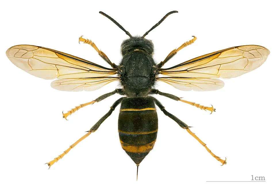 Asian hornetEU
 Himalayan BalsamEU
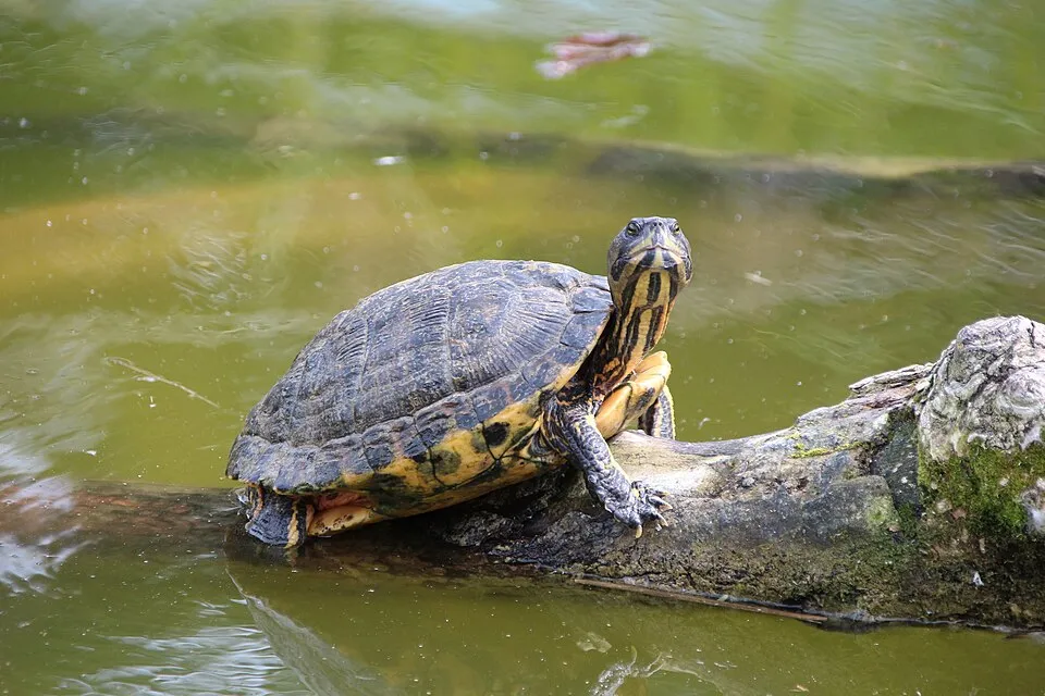 Pond sliderEU
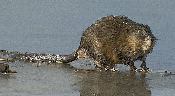 MuskratEU
 Japanese KnotweedEU
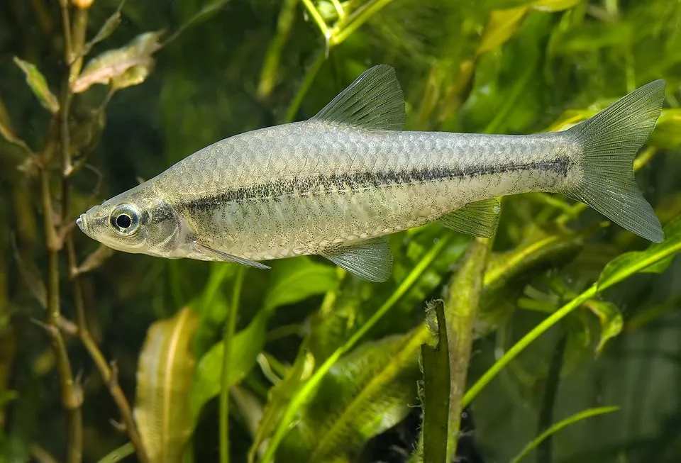 Topmouth gudgeonEU
Photos: Egyptian Goose © Rhododendrites · CC BY-SA 4.0; Coypu © Philippe Amelant · CC BY-SA 3.0; Asian hornet © Didier Descouens · CC BY-SA 4.0; Himalayan Balsam © Guptaele · CC BY-SA 4.0; Pond slider © Viva.Chelonia · CC BY 2.0; Muskrat © David Menke · Public domain; Japanese Knotweed © W.carter · CC0-1.0; Topmouth gudgeon © Seotaro, edited by Lycaon · CC BY-SA 3.0
Sources: Global Forest Change (Hansen et al., University of Maryland, via Global Forest Watch, CC-BY 4.0); EFFIS, European Commission / Copernicus; NASA Black Marble 2016 (public domain); CORINE Land Cover 2018 (Copernicus) or MODIS.
CORINE Land Cover Change 1990–2018: generated using European Union's Copernicus Land Monitoring Service information (EEA), aggregated by Parkavela; DOI 10.2909/f30f1000-7cf8-43bb-872c-5eb093911b24.
Ecological status of water bodies: European Environment Agency, WISE – Water Framework Directive, 3rd river basin management plans (2022), CC BY 4.0. Official national classification, not comparable between countries.
Invasive alien species: Global Register of Introduced and Invasive Species (ISSG, CC BY 4.0); Union list, Regulation (EU) 1143/2014 (INBO, CC0); GBIF.org records (CC0 / CC BY 4.0), at least 2 per species.
Practical information
Cities and airport
- Hürth
within the site - Euskirchen
within the site - Airport: Cologne Bonn (CGN)
7 km as the crow flies
Visitor information
- Tourist-Information
within the site - Bergheim meine Stadt
within the site - SVE KundenCenter
within the site - SVE InfoPunkt
within the site
Things to see
84 viewpoints · 6 waterfalls · 122 lakes and ponds · 1 cave · 1 bird hide
- Aussichtspunkt Böhling
viewpoint - Ausgleichsbecken
lake or pond - Zwergenloch
cave - Vogelbeobachtungshütte
bird hide - Aussichtspunkt Pulheimer See
viewpoint
Where to stay
13 campsites
- Am neuen Wasserwerk Rheinbach
campsite - Camingplatz Heider Bergsee
campsite - Campingplatz Katzenloch
campsite - Campingplatz Liblarer See
campsite - FSB Erftland Ville e.V.
campsite
Hiking
104 waymarked routes listed, including:
E 8 (4 390 km)Jakobs-Pilgerweg KölnWanderweg der Deutschen Einheit (Bad GodesbergTomberg-RundeVille-Eifel-WegKrönungsweg
By bike
EV3 · 41 kmEV15 · 6 km WBR Wasserburgen-Route · 198 kmApfel Rheinische Apfelroute · 124 kmErft Erft-Radweg · 62 kmDFR Deutsche Fußball Route NRW · 18 km
+ 31 local loops
Signed cycle routes: this does not mean that cycling is allowed on footpaths.
Wheelchair access
- Bergheim meine Stadt
visitor information - Tourist Information
visitor information - go.Center
visitor information - Aussichtspunkt Tagebau Hambach
viewpoint
accessible toilets: 54
Reported by OpenStreetMap contributors (ODbL); check with the park before visiting.
Data © OpenStreetMap contributors (ODbL) · Wikidata (CC0)
Contains information from EuroVelo GPX tracks downloaded from www.EuroVelo.com on 2026-10-22, which is made available here under the Open Database License (ODbL). EuroVelo® is a registered trademark of the ECF. Routes © OpenStreetMap contributors (ODbL), via Waymarked Trails
Waymarked hiking routes
WDE Wanderweg der Deutschen Einheit (Bad Godesberg - Aachen)
42.7 km within the site ↗ 148 m↘ 354 m 70–316 m
Tracks © OpenStreetMap contributors (ODbL), clipped to the boundary; elevation gain and profiles computed on the longest section from Mapzen Terrain Tiles (≈ 30 m), indicative only.
Bathing
7 monitored bathing sites in or within 1 km of the site · 2025 classification
Excellent · 7
- Bleibtreusee Badestrand · lake · Excellent
- Escher Badesee Plattform · lake · Excellent
- Heiderbergsee Badestrand · lake · Excellent
- Liblarer See Badestrand · lake · Excellent
- Otto Maigler See Badestrand · lake · Excellent
- Wassersportsee Zuelpich Badestrand · lake · Excellent
- Zieselsmaar Badestrand · lake · Excellent
Source: European Environment Agency, official bathing water classification (Directive 2006/7/EC, CC-BY 4.0). Swimming is only permitted at the sites and times authorised locally.
Access and visiting
Nemmenich railway station lies within the site. Nearest towns of over 50,000 people, as the crow flies: Hürth (within the area) and Euskirchen (within the area). Nearest airport: Cologne Bonn (CGN), about 7 km away. About 4.3 million people live within 20 km of the site boundary, 2.4 million of them within 10 km; some 620,000 people are estimated to live inside (GHSL estimate, 2020). This population has grown by about 8% since 2000. Visitor information on site: Tourist-Information, Bergheim meine Stadt and SVE KundenCenter. Waymarked hiking routes listed in OpenStreetMap: 104, including E 8 (4 390 km), Jakobs-Pilgerweg Köln, Wanderweg der Deutschen Einheit (Bad Godesberg and Tomberg-Runde. The EuroVelo 3 (about 41 km) and EuroVelo 15 (about 6 km) cycle routes cross the site; 6 other signed cycle routes also pass through, including “WBR Wasserburgen-Route” and “Apfel Rheinische Apfelroute” (EuroVelo, OpenStreetMap). OpenStreetMap contributors list 9 wheelchair-accessible places, including Bergheim meine Stadt and Tourist Information; check with the park before visiting. To see: 84 viewpoints, 6 waterfalls, 122 lakes and ponds, 1 cave and 1 bird hide, including Aussichtspunkt Böhling, Ausgleichsbecken, Zwergenloch and Vogelbeobachtungshütte. Where to stay: 13 campsites, including Am neuen Wasserwerk Rheinbach, Camingplatz Heider Bergsee and Campingplatz Katzenloch. To plan a visit (access, opening periods, visitor rules), it is best to consult the official information from the managing body and the official website listed in this page's sources.
Source: OpenStreetMap (ODbL), Wikidata (CC0), October 2026.
When to visit
Best time to visit: from May to October, with average temperatures of 11 to 19 °C and moderate rainfall. Day length ranges from about 7 h 58 min in December to 16 h 29 min in June. Wildlife records published on GBIF peak for birds (May), plants (May and June), butterflies and moths (from June to August), dragonflies (May and June) and mammals (from March to May). These peaks also reflect when observers are most active.
Source: Copernicus ERA5-Land (C3S), monthly averages 1996–2025 at the representative point, temperatures adjusted for elevation.
Contains modified Copernicus Climate Change Service information 2026. Neither the European Commission nor ECMWF is responsible for any use that may be made of the Copernicus information or data it contains.
Wildlife records calendar
JFMAMJJASOND
Birds
Plants
Butterflies & moths
Dragonflies
Mammals
Monthly records published on GBIF (CC-BY), relative to the busiest month; also reflects observer activity.
Gallery
© Elldex · CC BY-SA 3.0
© Chris Walters · Public domain
© ToLo46 · CC BY-SA 4.0
© Elldex · CC BY-SA 3.0
© Elldex · CC BY-SA 4.0
© IBINI · CC BY-SA 3.0
Sources and licences
- Wikidata: Q315113
- OpenStreetMap: relation 12897000
- Wikipedia: en.wikipedia.org/wiki/Rhineland_Nature_Park
References
- cds.climate.copernicus.eu: climate · CC-BY-4.0
- registry.opendata.aws: elevation of the reference point, detailed relief · PD
- land.copernicus.eu: land cover, land cover change, sea share · COPERNICUS
- doi.org: population around the site · CC-BY-4.0
- wikidata.org: official area, highest point, establishment date, nearby cities and airport, access and peaks, lake depths, places to see · CC0-1.0
- eea.europa.eu: bathing water quality, ecological status of waters · CC-BY-4.0
- en.eurovelo.com: EuroVelo cycle routes · ODbL-1.0
- cycling.waymarkedtrails.org: cycle routes · ODbL-1.0
- opentopodata.org: elevations · PD
- forest-fire.emergency.copernicus.eu: wildfires · COPERNICUS
- globalforestwatch.org: tree cover loss · CC-BY-4.0
- gbif.org: seasonality of sightings, invasive alien species, observed species · CC-BY-4.0
- europe-geology.eu: geology · CC-BY-4.0
- hydrosheds.org: lakes · CC-BY-4.0
- natura2000.eea.europa.eu: Natura 2000 habitats and species · CC-BY-4.0
- openstreetmap.org: official name, access and peaks, places to see, trail difficulty, wheelchair access · ODbL-1.0
- earthobservatory.nasa.gov: night light · PD
- hiking.waymarkedtrails.org: route difficulty · ODbL-1.0
- nsidc.org: snow cover · PD
- wikidata.org: Wikipedia article · CC-BY-SA-4.0
Data © OpenStreetMap contributors (ODbL), Wikidata (CC0) and the sources cited.