Overview
Nature park of 4,480 hectares in Spain.
Turia Natural Park is a nature park in Spain (Europe). It is a predominantly terrestrial area. It covers about 4,480 hectares.
In our collections
Frequently asked questions
Where is Turia Natural Park?
In Spain (Europe). Representative point: 39.5167° N, 0.5167° W.
How large is Turia Natural Park?
About 4,480 hectares (45 km²). It is the 59th largest of the 73 nature parks in Spain covered by Parkavela.
What habitats and landscapes does Turia Natural Park include?
A terrestrial area, with forests.
What rocks lie beneath Turia Natural Park?
According to the European 1:1 million geological map (EGDI), the bedrock consists mainly of conglomerates and breccias (50% of sampled points), limestones (25%) and sands and gravels (25%). These are mostly sedimentary rocks. The geological units date mainly from the Neogene (63% of sampled points).
What is the highest point of Turia Natural Park?
la Rodana, at 346 m (OpenStreetMap).
What are the main summits of Turia Natural Park?
La Rodana (346 m), la Rodana del Pic (322 m), la Rodaneta Blanca (244 m), Cerritico Redondo (238 m) and Alto de las Pedrizas (213 m) (OpenStreetMap).
Are there historic monuments in Turia Natural Park?
Yes. According to Wikidata, 9 monuments listed as Bien de Interés Cultural stand within the boundary. For example: “Torre de Felx” in Benaguacil, “Yacimiento arqueológico de Valencia la Vella” in Ribarroja del Turia and “Azud de la Acequia de Fabara” in Cuart de Poblet.
What is the nearest large city to Turia Natural Park?
Nearest towns of over 50,000 people, as the crow flies: Torrent (6 km) and Valencia (8 km). Nearest airport: Valencia (VLC), about 1 km away.
How can I reach Turia Natural Park by train?
The nearest railway station is Circuit Ricardo Tormo, about 3 km from the site boundary.
Where can I get visitor information on site?
Oficina de Turisme de Manises, Tourist Info Riba-roja de Túria and Turismo Valencia Convention Bureau.
Are there waymarked hiking trails in Turia Natural Park?
Yes. Waymarked hiking routes listed in OpenStreetMap: 2, including El Camí and Les Rodanes. The “CC-C · El Camí IT5TR7 El Camí del Sud: de Dénia a Castelló de la Plana” route runs for about 14 km through the site.
Which species can be seen in Turia Natural Park?
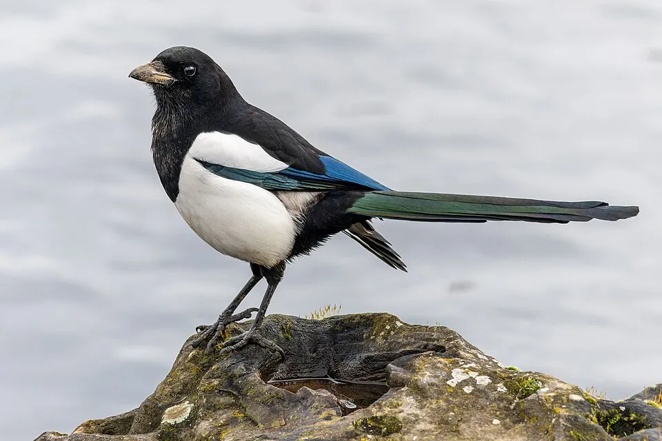
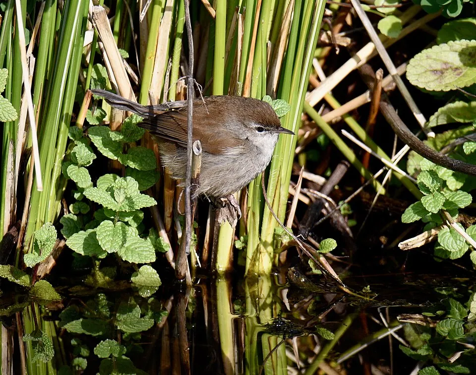
Among the species most often recorded on GBIF are Turdus merula (Common Blackbird), Pica pica (Eurasian Magpie), Serinus serinus (European Serin) and Cettia cetti (Cetti's Warbler).
© OpenStreetMap
Download the boundary: GeoJSON · GPX Boundary © OpenStreetMap contributors (ODbL).
Geography
According to the European 1:1 million geological map (EGDI), the bedrock consists mainly of conglomerates and breccias (50% of sampled points), limestones (25%) and sands and gravels (25%). These are mostly sedimentary rocks. The geological units date mainly from the Neogene (63% of sampled points).
Area
- Area
- 4,480 ha
- Coordinates
- 39.5167, -0.5167
Bedrock
- Conglomerates and breccias 50 %
- Limestones 25 %
- Sands and gravels 25 %
Sedimentary rocks 100 % · Main age: Neogene (63%)
Source: EGDI 1:1M geological map (EuroGeoSurveys and national geological surveys), CC BY 4.0 · 8 sampled points within the site.
Main summits
- la Rodana346 m
- la Rodana del Pic322 m
- la Rodaneta Blanca244 m
- Cerritico Redondo238 m
- Alto de las Pedrizas213 m
Data © OpenStreetMap contributors (ODbL)
Natural habitats
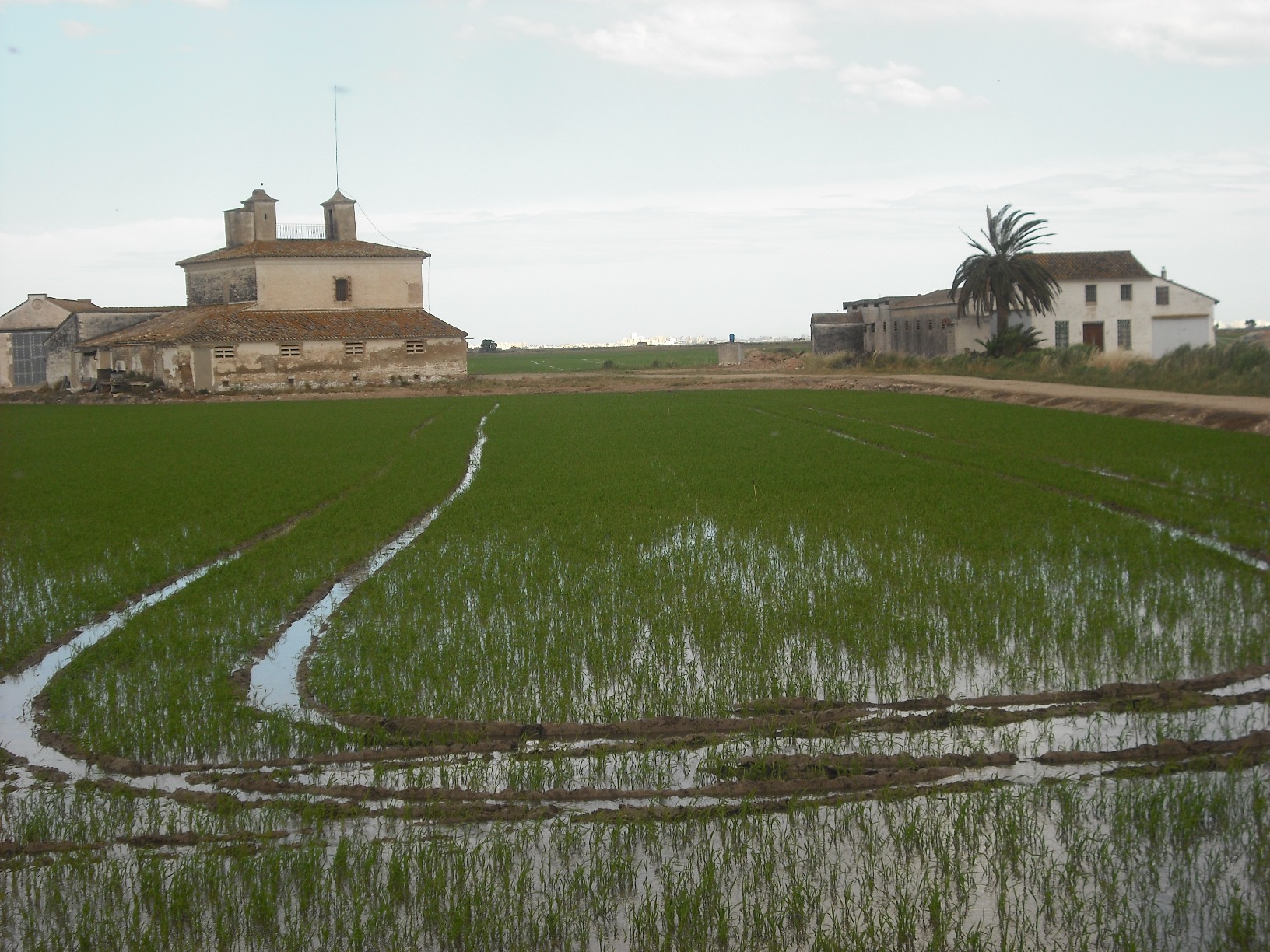
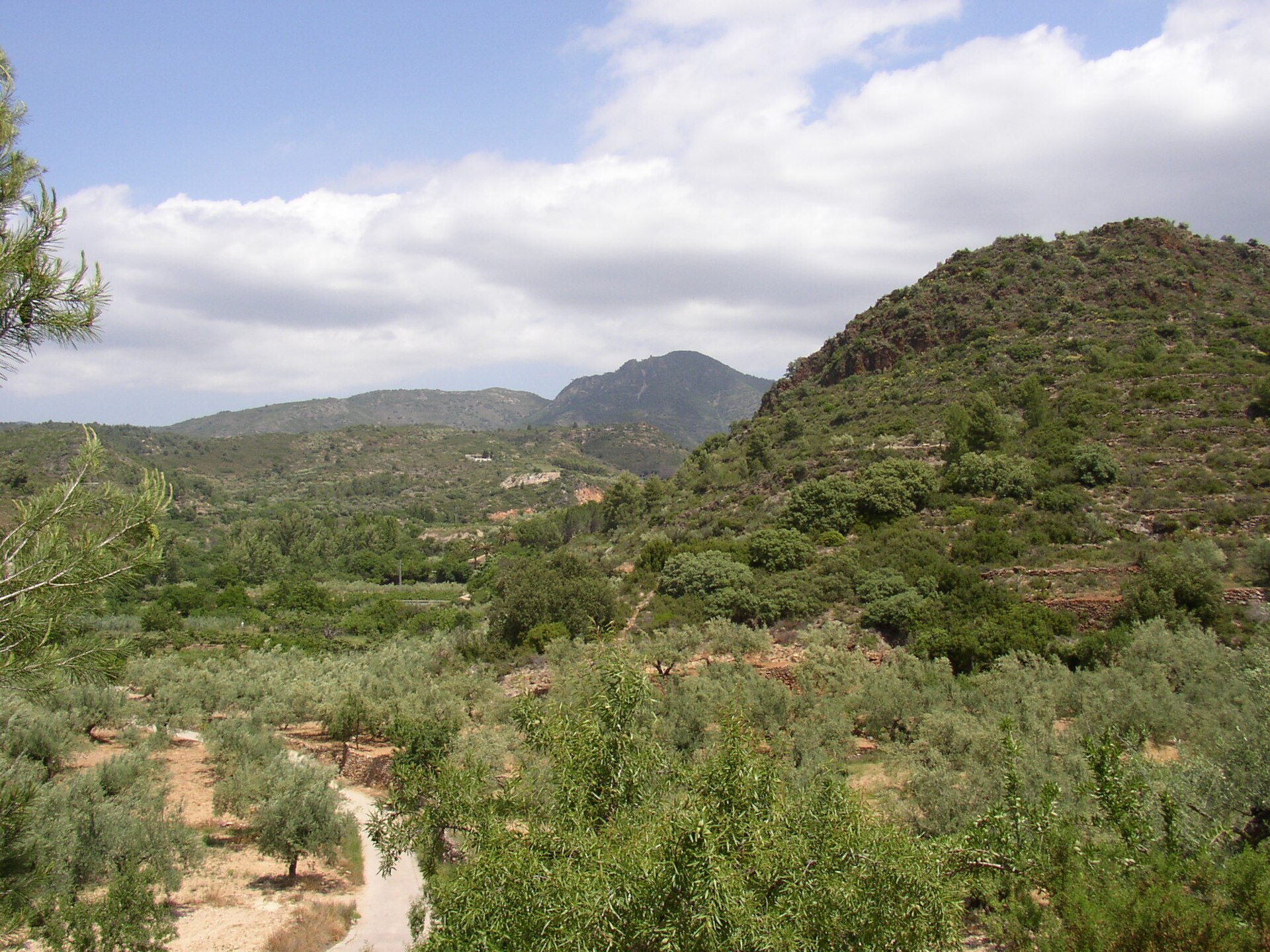
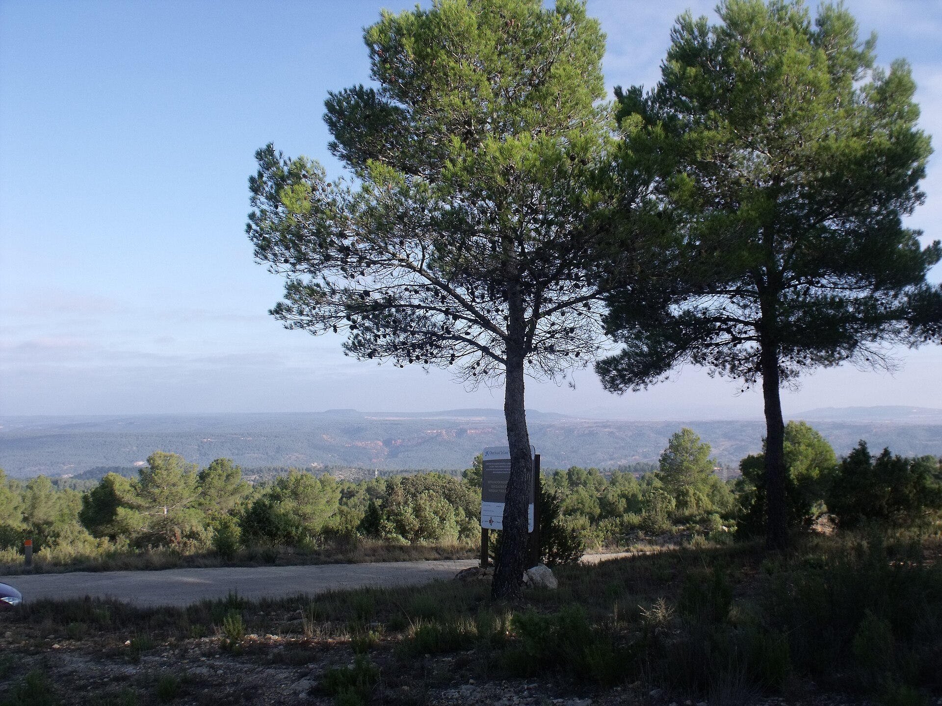
According to CORINE Land Cover (2018), the site is mainly made up of farmland (44%), forests (28%) and heath and scrub (10%). Woodland is mostly coniferous. Elevation ranges from about 40 m to 346 m (highest point: la Rodana).
Biodiversity
Based on occurrences aggregated by GBIF, several species are regularly recorded within the site. Among the most frequent are Turdus merula (Common Blackbird), Pica pica (Eurasian Magpie), Serinus serinus (European Serin) and Cettia cetti (Cetti's Warbler). The full list of documented taxa is shown below.
Species to look out for



Observed species
Occurrences documented via GBIF; they are neither an exhaustive inventory nor proof of current presence.
- Common Blackbird · Turdus merula · 292
- Eurasian Magpie · Pica pica · 280
- European Serin · Serinus serinus · 275
- Cetti's Warbler · Cettia cetti · 274
- House Sparrow · Passer domesticus · 268
- Sardinian Warbler · Curruca melanocephala · 267
- Great tit · Parus major · 262
- European Goldfinch · Carduelis carduelis · 255
- Common Wood Pigeon · Columba palumbus · 254
- Eurasian Blackcap · Sylvia atricapilla · 248
- Eurasian Collared Dove · Streptopelia decaocto · 189
- Barn Swallow · Hirundo rustica · 186
Records: GBIF.org (CC-BY). Names: Wikidata (CC0), GBIF. Photos: Wikimedia Commons.
Conservation challenges
The primary purpose of the site is to preserve its natural habitats and the biodiversity they support. The species recorded (Biodiversity tab) reflect its ecological value. Its status as a nature park sets the regulatory framework for its protection.
According to Global Forest Change data (University of Maryland, Global Forest Watch), about 82 ha of tree cover were lost within the boundary between 2001 and 2023 (2% of its area), peaking in 2006 and 2008. These losses include logging, storms and fires, and do not account for regrowth. According to the European CORINE Land Cover inventory (Copernicus), land cover changed on about 229 ha of the site between 1990 and 2018 (4% of its area): built-up land grew by 169 ha, mostly at the expense of farmland, while farmland shrank by 109 ha, mostly giving way to built-up land. Forest felling and regrowth add about 330 ha in total over the period. At night, 64% of the area gives off artificial light detectable from space (NASA VIIRS Black Marble composite, 2016). Built-up and developed land (buildings, business areas, roads, quarries) covers 8% of the area, and farmland 44% (CORINE Land Cover). According to the Water Framework Directive assessment (2022 river basin management plans, data 2014–2019), only 36% of the 35 km of rivers assessed within the site are in good or high ecological status; the others mostly have moderate ecological status. Since 2000, 7 invasive alien species have been recorded within the site (GBIF observations), one of them listed as of Union concern under EU Regulation 1143/2014. Among them: Pycnonotus jocosus (Red-whiskered Bulbul), Myiopsitta monachus (Monk Parakeet) and Psittacula krameri (Rose-ringed Parakeet).
Pressure indicators
Tree cover lost
82 ha
2001–2023 · 2% of the area
20012023
Fires since 2016
0
No large fire mapped (fires over about 30 ha)
Light at night
64%
of the area gives off artificial light visible from space
DarkLit
Built-up land
8%
buildings, business areas, roads, quarries · farmland 44%
Land cover change
229 ha
changed cover, 1990–2018 · CORINE · 4% of the area
- +169 ha · built-up land
- −109 ha · farmland
forest felling and regrowth: 330 ha in total
Rivers and lakes
36%
of the 35 km of assessed rivers in good or high ecological status · WFD 2022
assessments 2014–2019
Invasive alien species
7
incl. 1 of EU concern · since 2000
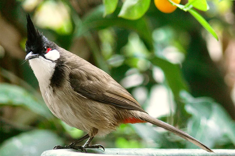 Red-whiskered BulbulEU
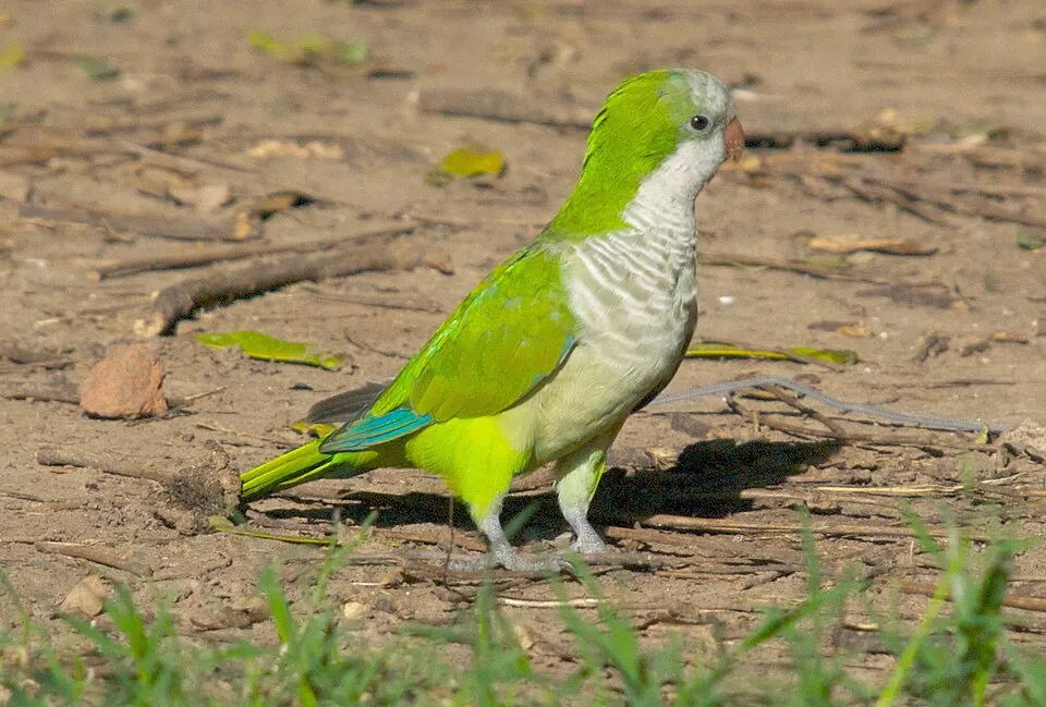 Monk Parakeet
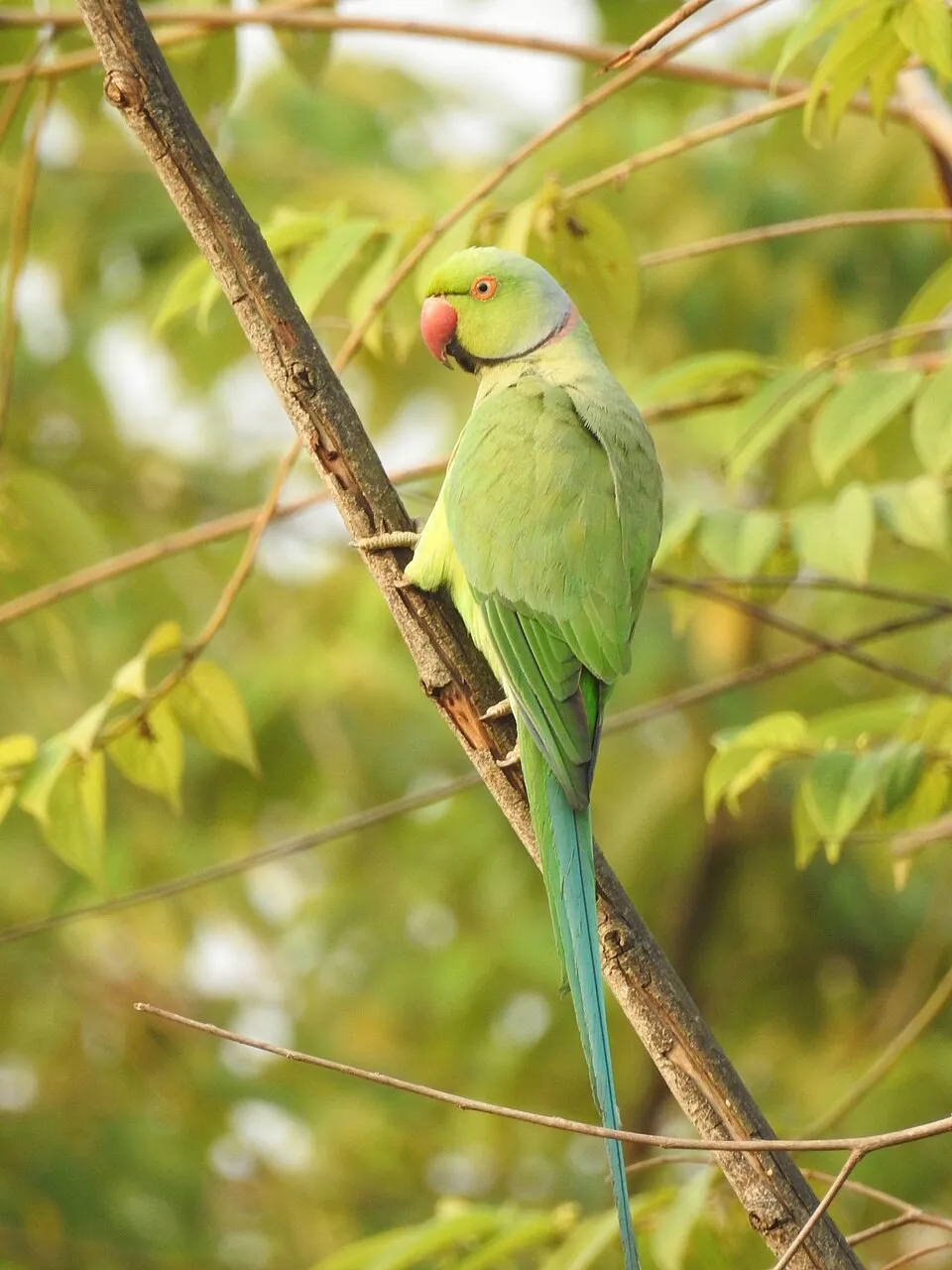 Rose-ringed Parakeet
 Bermuda buttercup
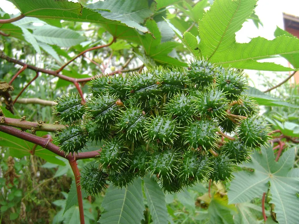 Castor oil plant
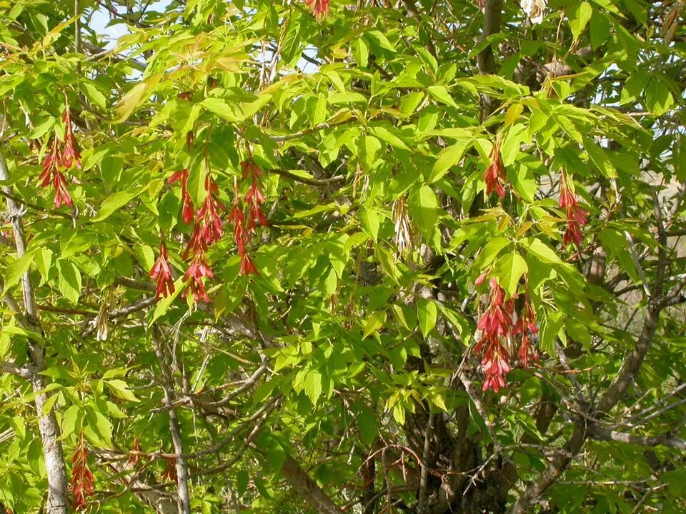 Ashleaf maple
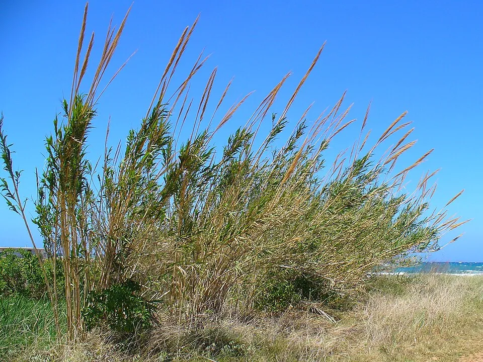 Giant Reed
Photos: Red-whiskered Bulbul © myjkccd · Public domain; Monk Parakeet © Kevin Jones · CC BY 2.0; Rose-ringed Parakeet © Afsarnayakkan · CC BY 3.0; Bermuda buttercup © MathKnight and Zachi Evenor אביר המתמטיקה וצחי אבנור · CC BY-SA 4.0; Castor oil plant © Onjacktallcuca · Public domain; Ashleaf maple © Matt Lavin from Bozeman, Montana, USA · CC BY-SA 2.0; Giant Reed © H. Zell · CC BY-SA 3.0
Sources: Global Forest Change (Hansen et al., University of Maryland, via Global Forest Watch, CC-BY 4.0); EFFIS, European Commission / Copernicus; NASA Black Marble 2016 (public domain); CORINE Land Cover 2018 (Copernicus) or MODIS.
CORINE Land Cover Change 1990–2018: generated using European Union's Copernicus Land Monitoring Service information (EEA), aggregated by Parkavela; DOI 10.2909/f30f1000-7cf8-43bb-872c-5eb093911b24.
Ecological status of water bodies: European Environment Agency, WISE – Water Framework Directive, 3rd river basin management plans (2022), CC BY 4.0. Official national classification, not comparable between countries.
Invasive alien species: Global Register of Introduced and Invasive Species (ISSG, CC BY 4.0); Union list, Regulation (EU) 1143/2014 (INBO, CC0); GBIF.org records (CC0 / CC BY 4.0), at least 2 per species.
Practical information
Cities and airport
- Torrent
6 km as the crow flies - Valencia
8 km as the crow flies - Airport: Valencia (VLC)
1 km as the crow flies
Visitor information
- Oficina de Turisme de Manises
< 1 km from the site boundary - Tourist Info Riba-roja de Túria
< 1 km from the site boundary - Turismo Valencia Convention Bureau
< 1 km from the site boundary - Bureau d'information de Metrovalencia
< 1 km from the site boundary
Hiking
2 waymarked routes listed, including:
El CamíLes Rodanes
By bike
CR-Turia Camí natural del Túria · 20 km
Signed cycle routes: this does not mean that cycling is allowed on footpaths.
Data © OpenStreetMap contributors (ODbL) · Wikidata (CC0)
Routes © OpenStreetMap contributors (ODbL), via Waymarked Trails
Waymarked hiking routes
CC-C El Camí IT5TR7 El Camí del Sud: de Dénia a Castelló de la Plana
14.4 km within the site ↗ 26 m↘ 6 m 37–66 m
Tracks © OpenStreetMap contributors (ODbL), clipped to the boundary; elevation gain and profiles computed on the longest section from Mapzen Terrain Tiles (≈ 30 m), indicative only.
Access and visiting
The nearest railway station is Circuit Ricardo Tormo, about 3 km from the site boundary. Nearest towns of over 50,000 people, as the crow flies: Torrent (6 km) and Valencia (8 km). Nearest airport: Valencia (VLC), about 1 km away. About 1.7 million people live within 20 km of the site boundary, 1.5 million of them within 10 km; some 25,000 people are estimated to live inside (GHSL estimate, 2020). This population has grown by about 14% since 2000. Visitor information on site: Oficina de Turisme de Manises, Tourist Info Riba-roja de Túria and Turismo Valencia Convention Bureau. Waymarked hiking routes listed in OpenStreetMap: 2, including El Camí and Les Rodanes. A signed cycle route crosses the site: “CR-Turia Camí natural del Túria” (OpenStreetMap). To plan a visit (access, opening periods, visitor rules), it is best to consult the official information from the managing body and the official website listed in this page's sources.
Source: OpenStreetMap (ODbL), Wikidata (CC0), October 2026.
Built heritage
According to Wikidata, 9 monuments listed as Bien de Interés Cultural stand within the boundary. Among them are 6 bridges, lighthouses, mills and working buildings, 1 castle or fortification and 1 prehistoric or archaeological site. Examples include “Torre de Felx” in Benaguacil, “Yacimiento arqueológico de Valencia la Vella” in Ribarroja del Turia and “Azud de la Acequia de Fabara” in Cuart de Poblet.
6 bridges, lighthouses, mills and working buildings1 castle or fortification1 prehistoric or archaeological site
-
Torre de Felx
Benaguacil -
Yacimiento arqueológico de Valencia la Vella
Ribarroja del Turia -
Azud de la Acequia de Fabara
Cuart de Poblet -
Tramo histórico de la Acequia de Mislata
Cuart de Poblet -
Assut de la Séquia de Mestalla
Manises · 17th c. -
Assut de la Séquia de Mislata
Manises -
Assut de la Séquia de Quart-Benàger-Faitanar
Manises -
Assut de la Séquia de Tormos
Manises
and 1 more
Source: Wikidata (CC0), monuments in each country’s official heritage protection registers, at national or regional level. Each item links to its Wikidata entry.
Wildlife records calendar
JFMAMJJASOND
Birds
Plants
Butterflies & moths
Dragonflies
Mammals
Monthly records published on GBIF (CC-BY), relative to the busiest month; also reflects observer activity.
Gallery
© Pelayo2 · CC BY-SA 3.0
© Talayuelo · CC BY-SA 4.0
© Judit Sanchis · CC BY-SA 4.0
© 19Tarrestnom65 · CC BY-SA 4.0
© Enrique Íñiguez Rodríguez (Qoan) · CC BY-SA 3.0
© Enrique Íñiguez Rodríguez (Qoan) · CC BY-SA 3.0
Sources and licences
- Wikidata: Q9056043
- OpenStreetMap: relation 3774370
- Wikipedia: es.wikipedia.org/wiki/Parque_natural_del_Turia
References
- land.copernicus.eu: land cover, land cover change, sea share · COPERNICUS
- doi.org: population around the site · CC-BY-4.0
- wikidata.org: official area, protected heritage, nearby cities and airport, access and peaks, lake depths, places to see · CC0-1.0
- eea.europa.eu: bathing water quality, ecological status of waters · CC-BY-4.0
- en.eurovelo.com: EuroVelo cycle routes · ODbL-1.0
- cycling.waymarkedtrails.org: cycle routes · ODbL-1.0
- opentopodata.org: elevations · PD
- forest-fire.emergency.copernicus.eu: wildfires · COPERNICUS
- globalforestwatch.org: tree cover loss · CC-BY-4.0
- gbif.org: seasonality of sightings, invasive alien species, observed species · CC-BY-4.0
- europe-geology.eu: geology · CC-BY-4.0
- hydrosheds.org: lakes · CC-BY-4.0
- openstreetmap.org: official name, access and peaks · ODbL-1.0
- earthobservatory.nasa.gov: night light · PD
- registry.opendata.aws: detailed relief · PD
- hiking.waymarkedtrails.org: route difficulty · ODbL-1.0
- nsidc.org: snow cover · PD
- wikidata.org: Wikipedia article · CC-BY-SA-4.0
Data © OpenStreetMap contributors (ODbL), Wikidata (CC0) and the sources cited.