Switzerland · Terrestrial
Val Calanca Nature Park
Regional nature park of 13,922 hectares in Switzerland, established in 2024.
Overview
Regional nature park of 13,922 hectares in Switzerland, established in 2024.
Val Calanca Nature Park is a regional nature park in Switzerland (Europe). It is a predominantly terrestrial area. Established in 2024, it covers about 13,922 hectares.
In our collections
Frequently asked questions
Where is Val Calanca Nature Park?
In Switzerland (Europe). Representative point: 46.3644° N, 9.1246° E.
How large is Val Calanca Nature Park?
About 13,922 hectares (139 km²). It is the 15th largest of the 17 regional parks in Switzerland covered by Parkavela.
When was Val Calanca Nature Park established?
In 2024.
What habitats and landscapes does Val Calanca Nature Park include?
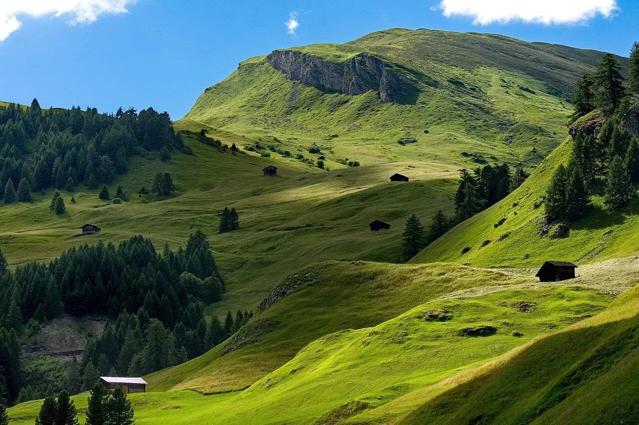
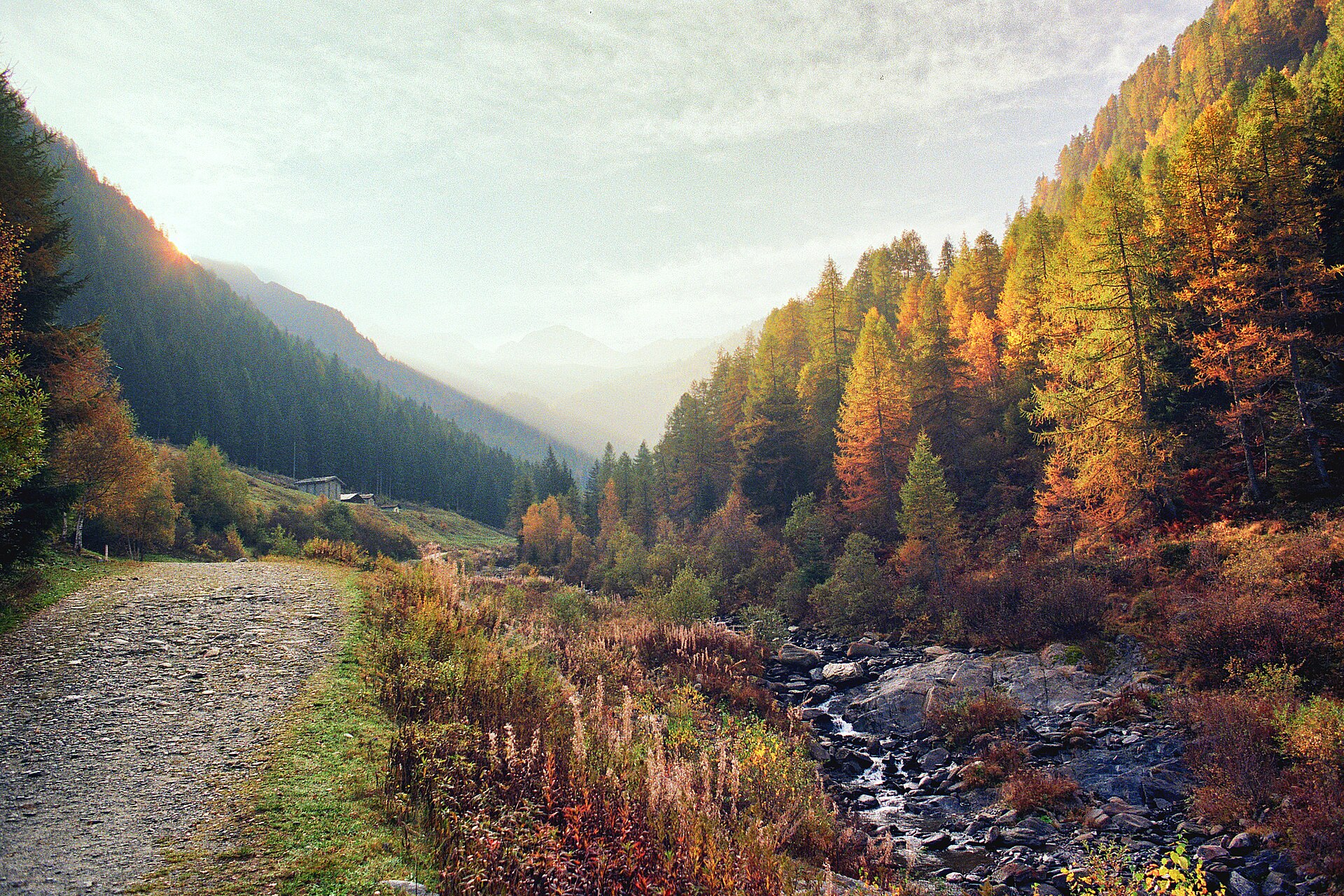
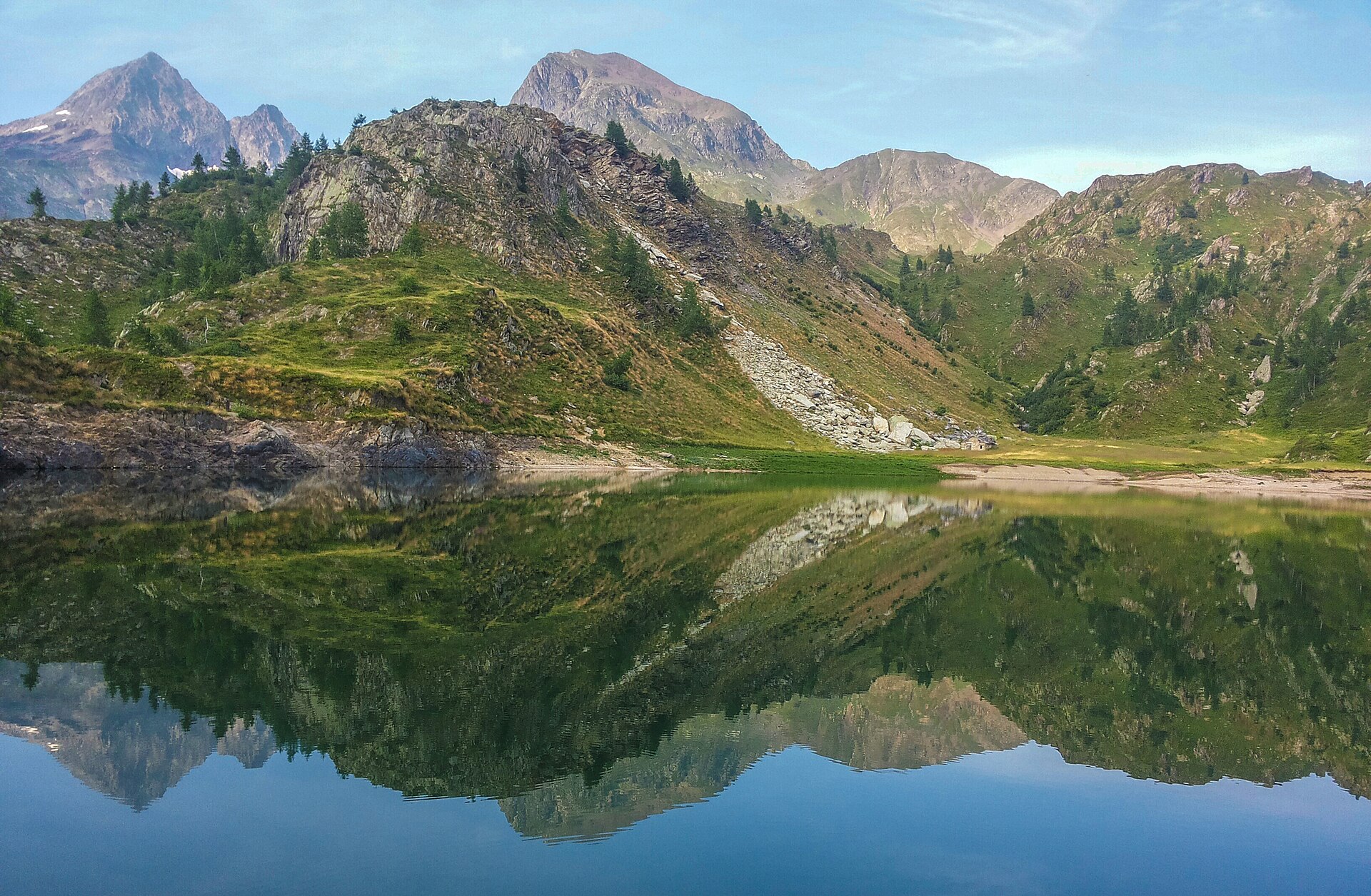
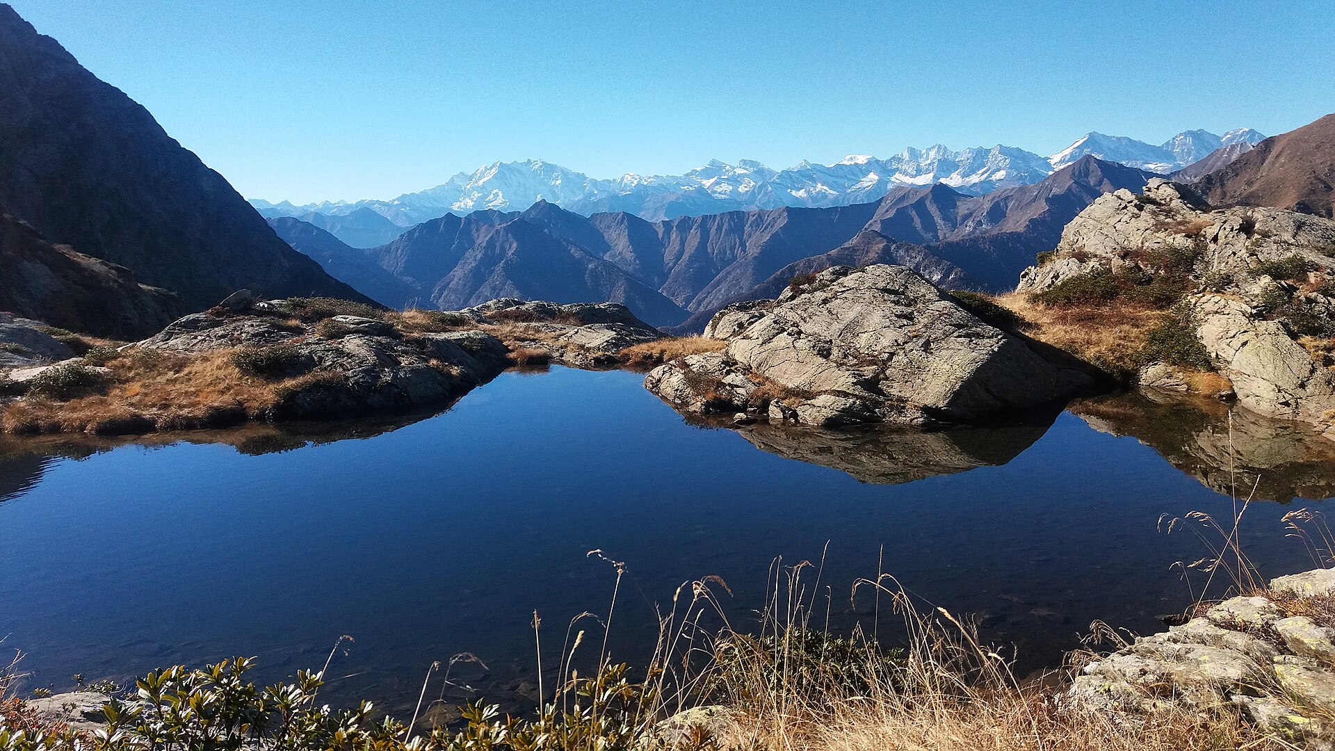
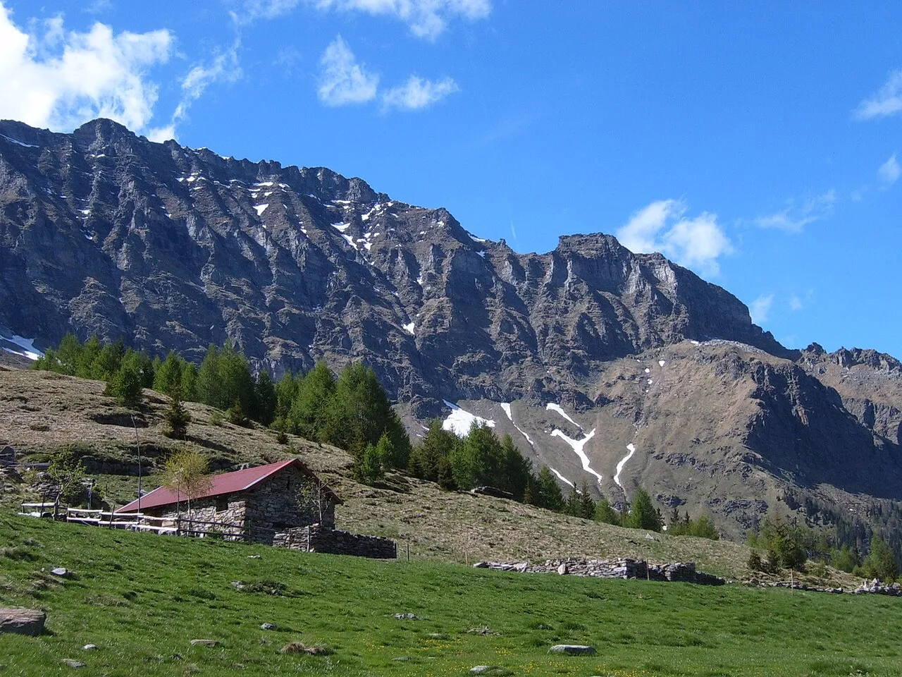
A terrestrial area, with forests and mountains.
What is the highest point of Val Calanca Nature Park?
Puntone dei Fracion, at 3,202 m (OpenStreetMap).
What are the main summits of Val Calanca Nature Park?
Puntone dei Fracion (3,202 m), Zapporthorn (3,155 m), Piz de Stabi (3,136 m), Piz Piotta (3,121 m) and Piz de Mucia (2,967 m) (OpenStreetMap).
When is the best time to visit Val Calanca Nature Park?
Best time to visit: from May to September, with average temperatures of 10 to 17 °C and moderate rainfall.
Is there snow in Val Calanca Nature Park?
Yes. According to NASA's MODIS satellites (2015–2025 average), snow covers most of the site from December to April, and until May on higher ground, with about 135 snow-covered days a year on average.
What is there to see in Val Calanca Nature Park?
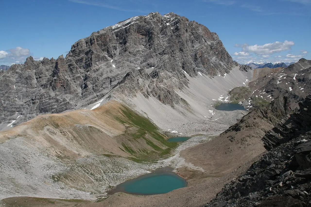
7 lakes and ponds and 1 glacier, including Lagh de Calvaresc (2,215 m), Ghiacciaio de Stabi, Lagh di Passitt (2,073 m) and Lagh de Stabi (2,293 m) (Wikidata).
Where can I stay in Val Calanca Nature Park?
Buffalorahütte (2,078 m) (Wikidata).
Are there historic monuments in Val Calanca Nature Park?
Yes. According to Wikidata, 14 monuments listed in the Swiss Inventory of Cultural Property of National and Regional Significance stand within the boundary, 3 of them of national significance. For example: “Santa Domenica Church” in Rossa, “Sta. Maria Castle” in Santa Maria in Calanca and “Church of St. Mary of the Assumption and parish house (old convent)” in Santa Maria in Calanca.
What is the nearest large city to Val Calanca Nature Park?
Nearest towns of over 50,000 people, as the crow flies: Lugano (29 km) and Como (49 km). Nearest airport: Zurich (ZRH), about 116 km away.
How can I reach Val Calanca Nature Park by train?
The nearest railway station is Castione-Arbedo, about 6 km from the site boundary.
Are there waymarked hiking trails in Val Calanca Nature Park?
Yes. Waymarked hiking routes listed in OpenStreetMap: 12. The “712 · Sentiero Alpino Calanca” route runs for about 31 km through the site, with some 1,760 m of ascent on its longest section.
What is the official website of Val Calanca Nature Park?
© OpenStreetMap
Download the boundary: GeoJSON · GPX Boundary © OpenStreetMap contributors (ODbL).
Geography
The representative point of the site lies at around 1,105 m above sea level. Over the 1996–2025 period, the mean annual temperature is about 7.2 °C and total precipitation reaches roughly 1,516 mm per year. The warmest month is usually July, the coolest January, and the wettest August. In 2015, 2 glaciers covered 19 ha within the site (Sentinel-2 glacier inventory of the Alps).
Area
- Area
- 13,922 ha
- Elevation
- 1,105 m
- Median elevation
- 1,860 m
- Mean slope
- 32°
- Snow cover
- ≈ 135 days a year
- Coordinates
- 46.3644, 9.1246
Terrain: Mapzen Terrain Tiles (SRTM, USGS)
Elevation bands
- 500–1,000 m 6%
- 1,000–1,500 m 21%
- 1,500–2,000 m 33%
- 2,000–2,500 m 32%
- 2,500–3,000 m 8%
share of the site in each elevation band (smoothed terrain model: summits are rounded off) · Terrain: Mapzen Terrain Tiles (SRTM, USGS)
Main summits
- Puntone dei Fracion3,202 m
- Zapporthorn3,155 m
- Piz de Stabi3,136 m
- Piz Piotta3,121 m
- Piz de Mucia2,967 m
- Piz da Termin2,899 m
- I Rodond2,830 m
- Cima di Gagela2,805 m
- Motton2,739 m
- Fil de Dragiva2,729 m
Data © OpenStreetMap contributors (ODbL)
Climate
● Mean temperature (°C) · ▮ Precipitation (mm)
Source: Copernicus ERA5-Land (C3S, doi:10.24381/cds.68d2bb30), monthly averages 1996–2025 interpolated to the representative point, temperatures adjusted for elevation.
Contains modified Copernicus Climate Change Service information 2026. Neither the European Commission nor ECMWF is responsible for any use that may be made of the Copernicus information or data it contains.
Snow cover measured by satellite
average share of the site under snow · snowiest parts · ≈ 135 days a year
Snow cover: MODIS/Terra MOD10CM v61 (Hall & Riggs, 2021, NASA NSIDC DAAC, doi:10.5067/MODIS/MOD10CM.061), imagery from NASA GIBS (ESDIS); 2015–2025 average, grid of about 5 km.
Natural habitats
According to CORINE Land Cover (2018), the site is mainly made up of forests (42%), heath and scrub (19%) and sparsely vegetated land (15%). Woodland is mostly coniferous. Elevation ranges from about 620 m to 3,202 m (highest point: Puntone dei Fracion). Median elevation is 1,860 m, and 40% of the site lies above 2,000 m (SRTM elevation model). The terrain is steep: 56% of slopes exceed 30° (mean slope 32°).
Conservation challenges
The primary purpose of the site is to preserve its natural habitats and the biodiversity they support. Its status as a regional nature park sets the regulatory framework for its protection.
According to Global Forest Change data (University of Maryland, Global Forest Watch), about 269 ha of tree cover were lost within the boundary between 2001 and 2023 (2% of its area), peaking in 2004 and 2018. These losses include logging, storms and fires, and do not account for regrowth. According to CORINE Land Cover, land cover here remained almost unchanged between 2000 and 2018 (less than 0.5% of the area affected). At night, the area gives off virtually no artificial light detectable from space (NASA VIIRS Black Marble composite, 2016). Since 2000, 38 invasive alien species have been recorded within the site (GBIF observations), 4 of them on the European Union's list. Among them: Reynoutria japonica (Japanese Knotweed), Impatiens glandulifera (Himalayan Balsam) and Heracleum mantegazzianum (Giant Hogweed).
Pressure indicators
Tree cover lost
269 ha
2001–2023 · 2% of the area
Fires since 2016
0
No large fire mapped (fires over about 30 ha)
Light at night
< 1%
of the area gives off artificial light visible from space
Built-up land
< 1%
buildings, business areas, roads, quarries · farmland 1%
Land cover change
< 0.5%
of the area changed, 2000–2018 · CORINE
Invasive alien species
38
incl. 4 on the EU list · since 2000
 Japanese KnotweedEU
 Himalayan BalsamEU
 Giant HogweedEU
 Tree-of-heavenEU
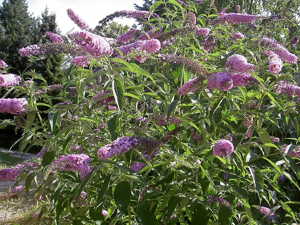 Butterfly-bush
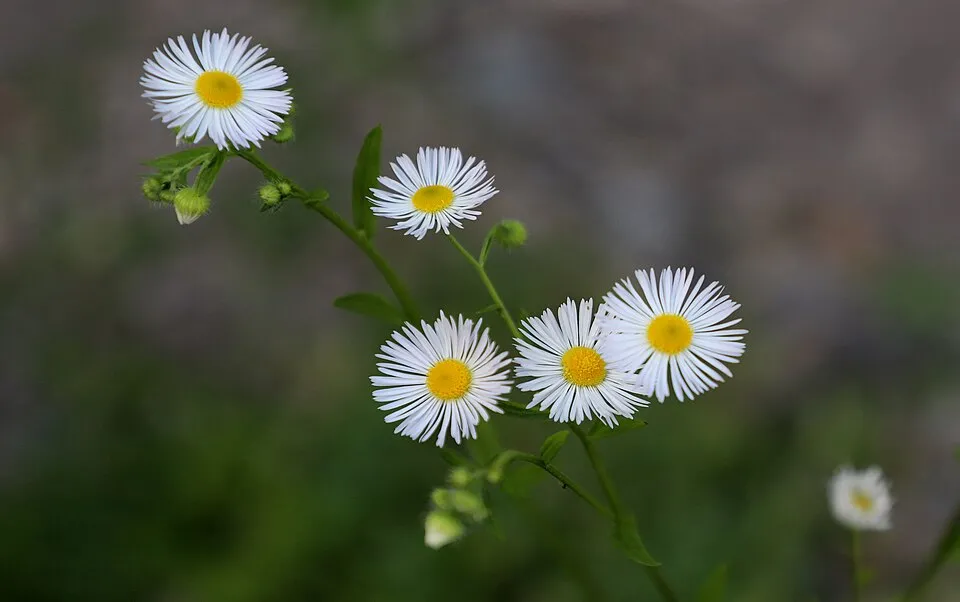 Eastern daisy fleabane
 Chinese Mugwort
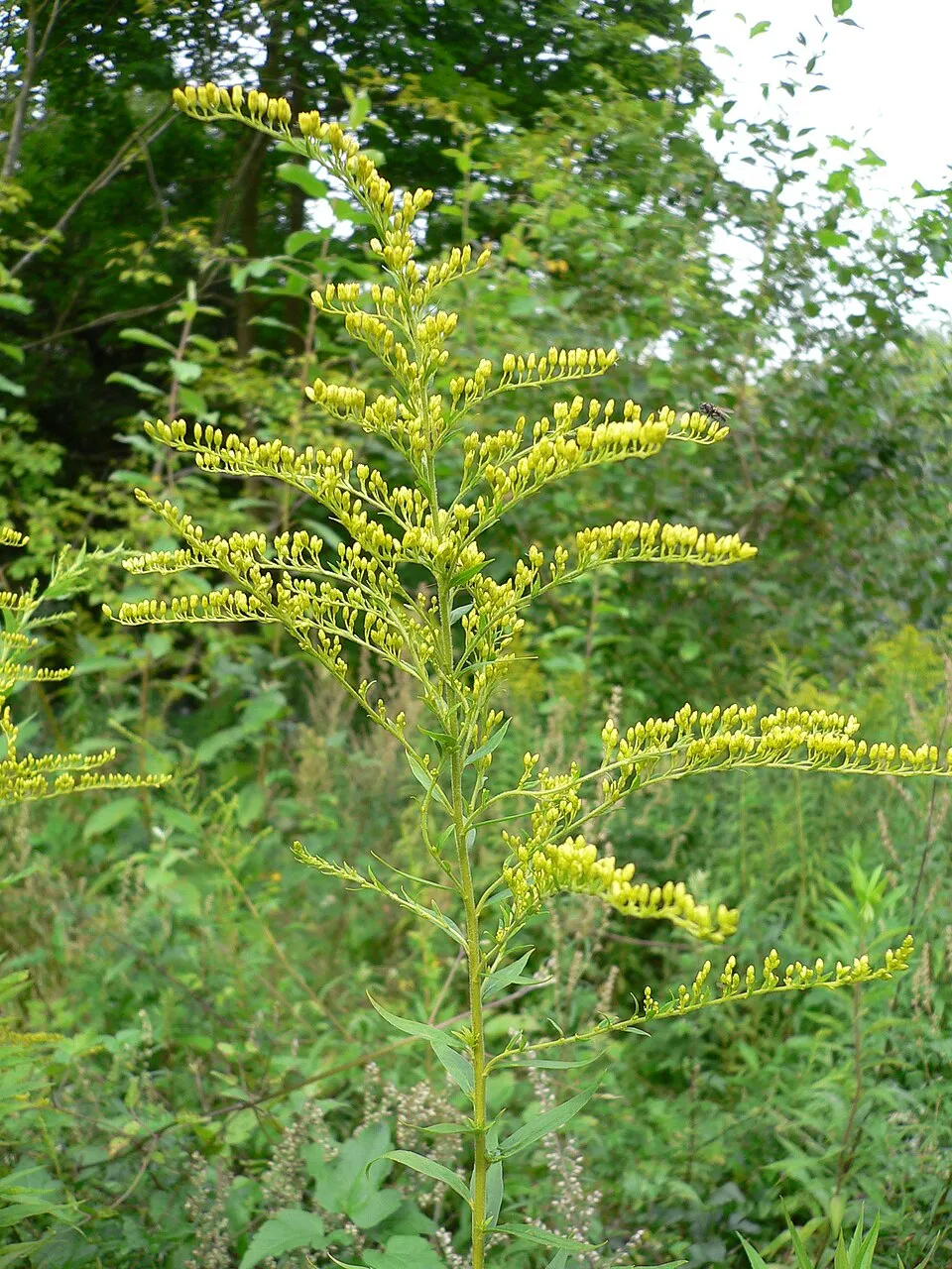 Canada goldenrod
Photos: Japanese Knotweed © W.carter · CC0-1.0; Himalayan Balsam © Guptaele · CC BY-SA 4.0; Giant Hogweed © anastasiiamerkulova · CC BY 4.0; Tree-of-heaven © Darkone · CC BY-SA 2.5; Butterfly-bush © --IKAl 15:22, 23 July 2007 (UTC) · CC BY-SA 2.5; Eastern daisy fleabane © W. Bulach · CC BY-SA 4.0; Chinese Mugwort © Oceancetaceen - Alice Chodura · CC BY-SA 3.0; Canada goldenrod © Georg Slickers · CC BY-SA 4.0
Sources: Global Forest Change (Hansen et al., University of Maryland, via Global Forest Watch, CC-BY 4.0); EFFIS, European Commission / Copernicus; NASA Black Marble 2016 (public domain); CORINE Land Cover 2018 (Copernicus) or MODIS.
CORINE Land Cover Change 2000–2018: generated using European Union's Copernicus Land Monitoring Service information (EEA), aggregated by Parkavela; DOI 10.2909/f30f1000-7cf8-43bb-872c-5eb093911b24.
Invasive alien species: Global Register of Introduced and Invasive Species (ISSG, CC BY 4.0); Union list, Regulation (EU) 1143/2014 (INBO, CC0); GBIF.org records (CC0 / CC BY 4.0), at least 2 per species.
Practical information
Cities and airport
- Lugano
29 km as the crow flies - Como
49 km as the crow flies - Airport: Zurich (ZRH)
116 km as the crow flies
Things to see
7 lakes and ponds · 1 glacier
- Lagh de Calvaresc
lake or pond · 2,215 m - Ghiacciaio de Stabi
glacier - Lagh di Passitt
lake or pond · 2,073 m - Lagh de Stabi
lake or pond · 2,293 m - Laghet
lake or pond · 2,035 m
Hiking
12 waymarked routes listed
Data © OpenStreetMap contributors (ODbL) · Wikidata (CC0)
Waymarked hiking routes
31.3 km within the site ↗ 1,758 m↘ 456 m 951–2,259 m
up to T4 · alpine hiking
11.4 km within the site ↗ 140 m↘ 1,146 m 1,072–2,091 m
Tracks © OpenStreetMap contributors (ODbL), clipped to the boundary; elevation gain and profiles computed on the longest section from Mapzen Terrain Tiles (≈ 30 m), indicative only. Indicative difficulty (SAC scale, OpenStreetMap, via Waymarked Trails): check with the park.
Access and visiting
The nearest railway station is Castione-Arbedo, about 6 km from the site boundary. Nearest towns of over 50,000 people, as the crow flies: Lugano (29 km) and Como (49 km). Nearest airport: Zurich (ZRH), about 116 km away. About 140,000 people live within 20 km of the site boundary, 50,000 of them within 10 km; some 550 people are estimated to live inside (GHSL estimate, 2020). This population has grown by about 13% since 2000. Waymarked hiking routes listed in OpenStreetMap: 12. To see: 7 lakes and ponds and 1 glacier, including Lagh de Calvaresc (2,215 m), Ghiacciaio de Stabi, Lagh di Passitt (2,073 m) and Lagh de Stabi (2,293 m). Where to stay: Buffalorahütte (2,078 m). To plan a visit (access, opening periods, visitor rules), it is best to consult the official information from the managing body and the official website listed in this page's sources.
Source: OpenStreetMap (ODbL), Wikidata (CC0), October 2026.
Built heritage
According to Wikidata, 14 monuments listed in the Swiss Inventory of Cultural Property of National and Regional Significance stand within the boundary, 3 of them of national significance. Among them are 7 religious buildings, 3 houses and civic buildings and 1 castle or fortification. Nationally designated items include “Santa Domenica Church” in Rossa, “Sta. Maria Castle” in Santa Maria in Calanca and “Church of St. Mary of the Assumption and parish house (old convent)” in Santa Maria in Calanca.
-
Santa Domenica Church
National
Rossa · 17th c. -
Sta. Maria Castle
National
Santa Maria in Calanca · 13th c. -
Church of St. Mary of the Assumption and parish house (old convent)
National
Santa Maria in Calanca · 13th c. -
Chapel Madonna di Loreto e di Sant’Anna
Calanca · 17th c. -
House
Calanca -
Ca d'el Pin
Calanca -
Catholic Church of Saints James and Peter
Calanca · 17th c. -
Chapel di Sant’Antonio di Padova
Calanca
and 6 more
Source: Wikidata (CC0), monuments in each country’s official heritage protection registers, at national or regional level. Each item links to its Wikidata entry.
When to visit
Best time to visit: from May to September, with average temperatures of 10 to 17 °C and moderate rainfall. Average temperatures drop below 0 °C from December to February: frost is common. These averages apply to the site's representative point (1,105 m); higher up it is markedly cooler and snow lasts longer. According to NASA's MODIS satellites (2015–2025 average), snow covers most of the site from December to April, and until May on higher ground, with about 135 snow-covered days a year on average. Day length ranges from about 8 h 37 min in December to 15 h 47 min in June. Wildlife records published on GBIF peak for birds (July), plants (June), butterflies and moths (July), dragonflies (July and August) and mammals (October). These peaks also reflect when observers are most active.
Source: Copernicus ERA5-Land (C3S), monthly averages 1996–2025 at the representative point, temperatures adjusted for elevation.
Contains modified Copernicus Climate Change Service information 2026. Neither the European Commission nor ECMWF is responsible for any use that may be made of the Copernicus information or data it contains.
Wildlife records calendar
Monthly records published on GBIF (CC-BY), relative to the busiest month; also reflects observer activity.
Gallery
© Markus Bernet · CC BY-SA 2.5
© Adrian Michael · CC BY-SA 3.0
© Marzio regolini · Public domain
© Ozonski · CC BY 3.0
© Marzio Regolini · Public domain
© Wa18 · CC BY 3.0
Sources and licences
- Wikidata: Q124347560
- OpenStreetMap: relation 17039609
- Official website: https://www.parcovalcalanca.swiss/
- Wikipedia: de.wikipedia.org/wiki/Naturpark_Calancatal
References
- map.geo.admin.ch: official area · OGD-CH-BY
- cds.climate.copernicus.eu: climate · CC-BY-4.0
- registry.opendata.aws: elevation of the reference point, detailed relief · PD
- doi.org: glaciers, population around the site · CC-BY-4.0
- land.copernicus.eu: land cover, land cover change, sea share · COPERNICUS
- eea.europa.eu: bathing water quality · CC-BY-4.0
- en.eurovelo.com: EuroVelo cycle routes · ODbL-1.0
- cycling.waymarkedtrails.org: cycle routes · ODbL-1.0
- opentopodata.org: elevations · PD
- wikidata.org: establishment date, protected heritage, nearby cities and airport, access and peaks, lake depths, places to see, official website · CC0-1.0
- forest-fire.emergency.copernicus.eu: wildfires · COPERNICUS
- globalforestwatch.org: tree cover loss · CC-BY-4.0
- gbif.org: seasonality of sightings, invasive alien species · CC-BY-4.0
- hydrosheds.org: lakes · CC-BY-4.0
- openstreetmap.org: official name, access and peaks · ODbL-1.0
- earthobservatory.nasa.gov: night light · PD
- hiking.waymarkedtrails.org: route difficulty · ODbL-1.0
- nsidc.org: snow cover · PD
- wikidata.org: Wikipedia article · CC-BY-SA-4.0
Data © OpenStreetMap contributors (ODbL), Wikidata (CC0) and the sources cited.