
Plant
Romania · Terrestrial
National park of 36,758 hectares in Romania, established in 2000.
National park of 36,758 hectares in Romania, established in 2000.
Cheile Nerei-Beușnița National Park is located in Romania (Europe). It is a predominantly terrestrial area. Established in 2000, it covers about 36,758 hectares.
Protected as a national park. International labels and designations: UNESCO World Heritage (“Ancient and Primeval Beech Forests of the Carpathians and Other Regions of Europe”) and Natura 2000 network (2 sites). Key dates: established in 2000, first Natura 2000 site under the Birds Directive in 2007, first Natura 2000 site under the Habitats Directive in 2008 and World Heritage listing in 2017.
Sources: Wikidata (CC0) for establishment and international labels; EEA Natura 2000 database (CC-BY 4.0) for site designation dates.
In Romania (Europe). Representative point: 44.9512° N, 21.8882° E.
About 36,758 hectares (368 km²). It is the 4th largest of the 11 national parks in Romania covered by Parkavela.
In 2000.
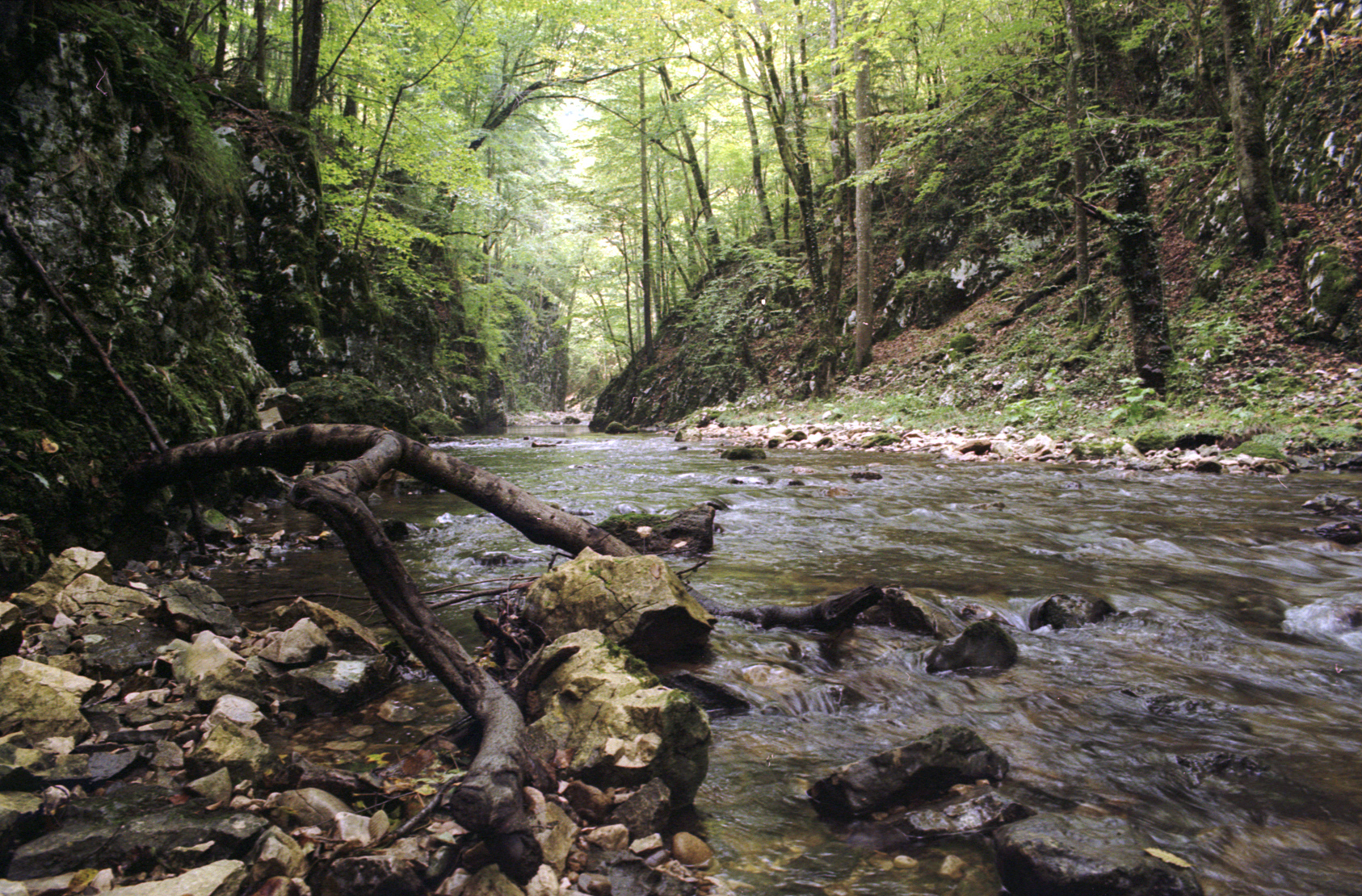
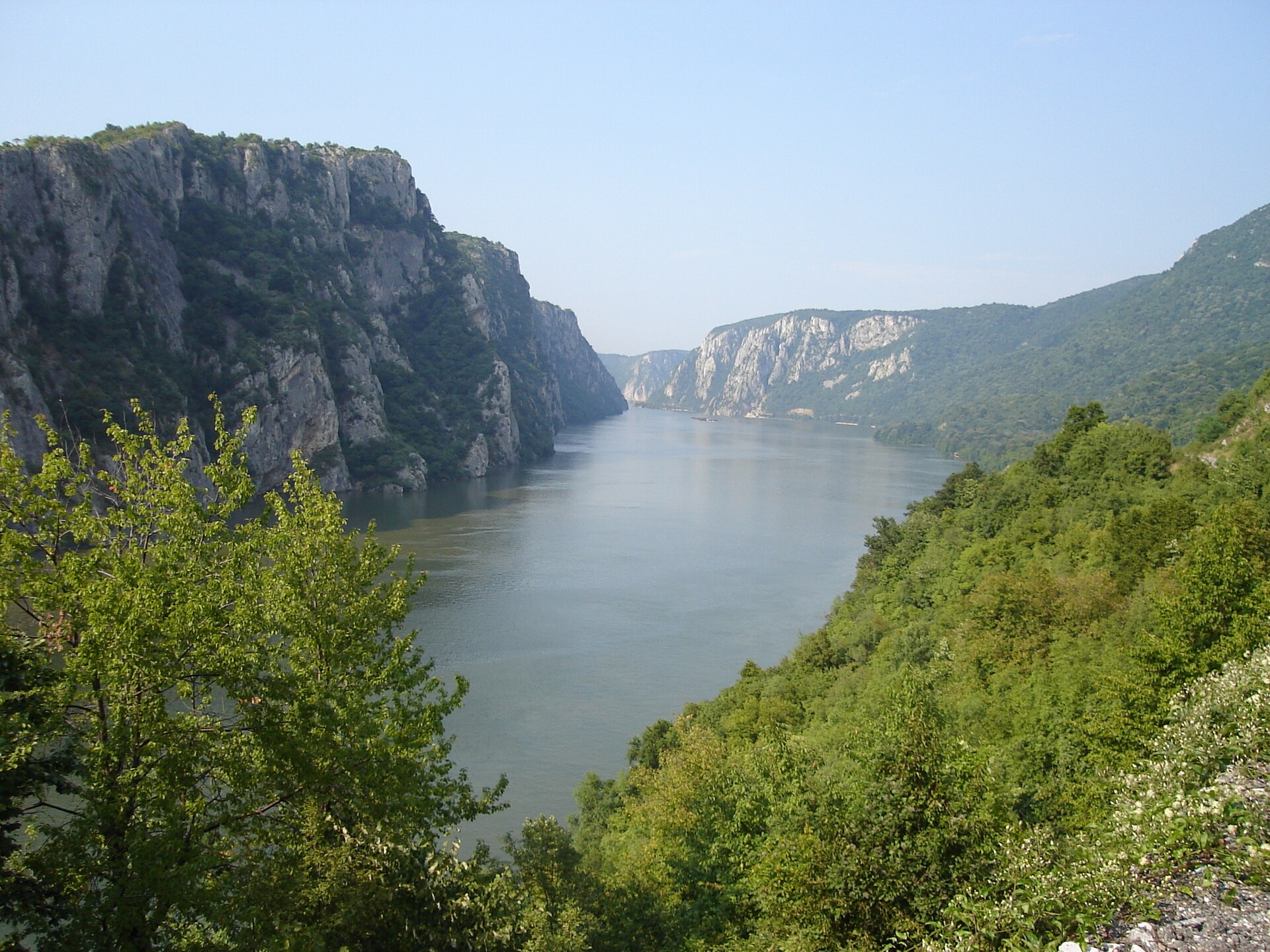
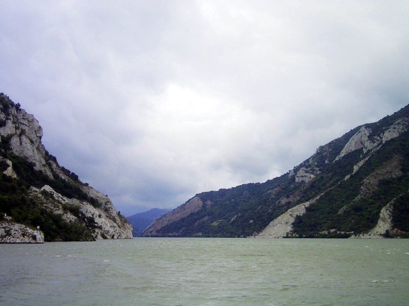
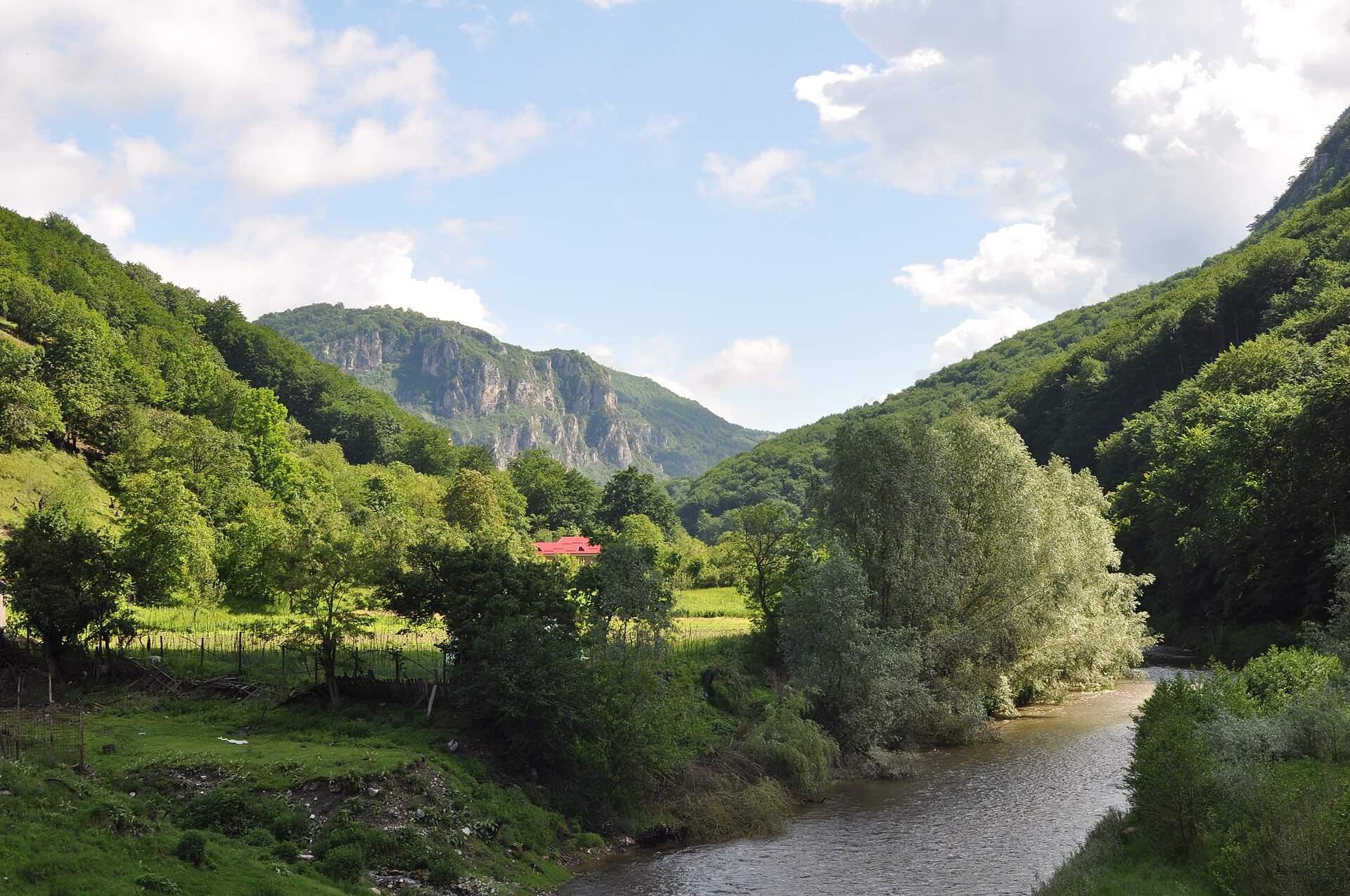
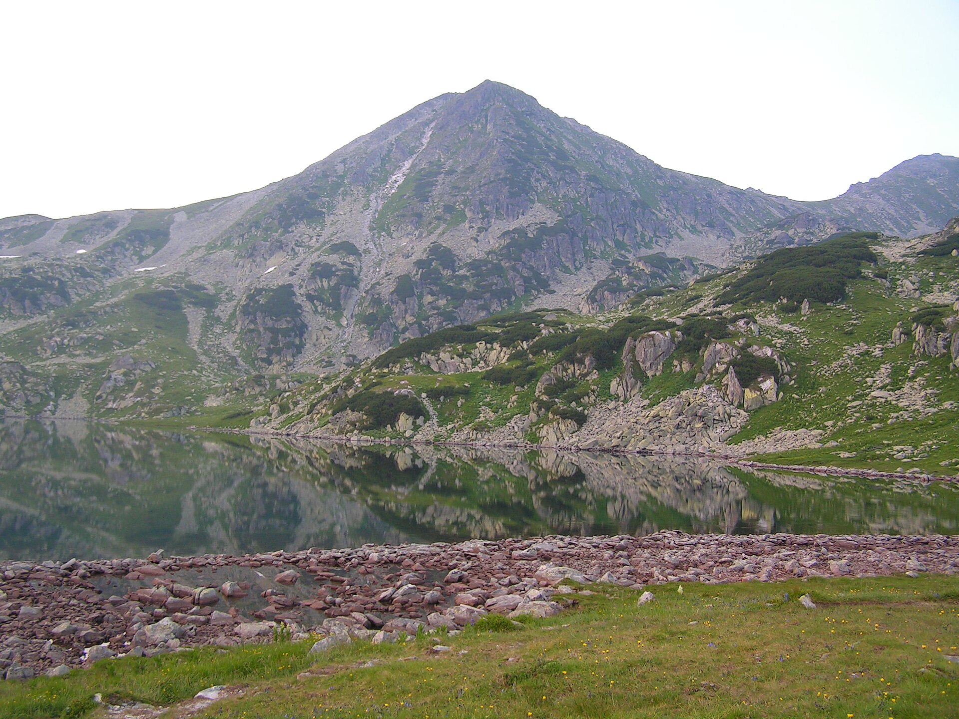
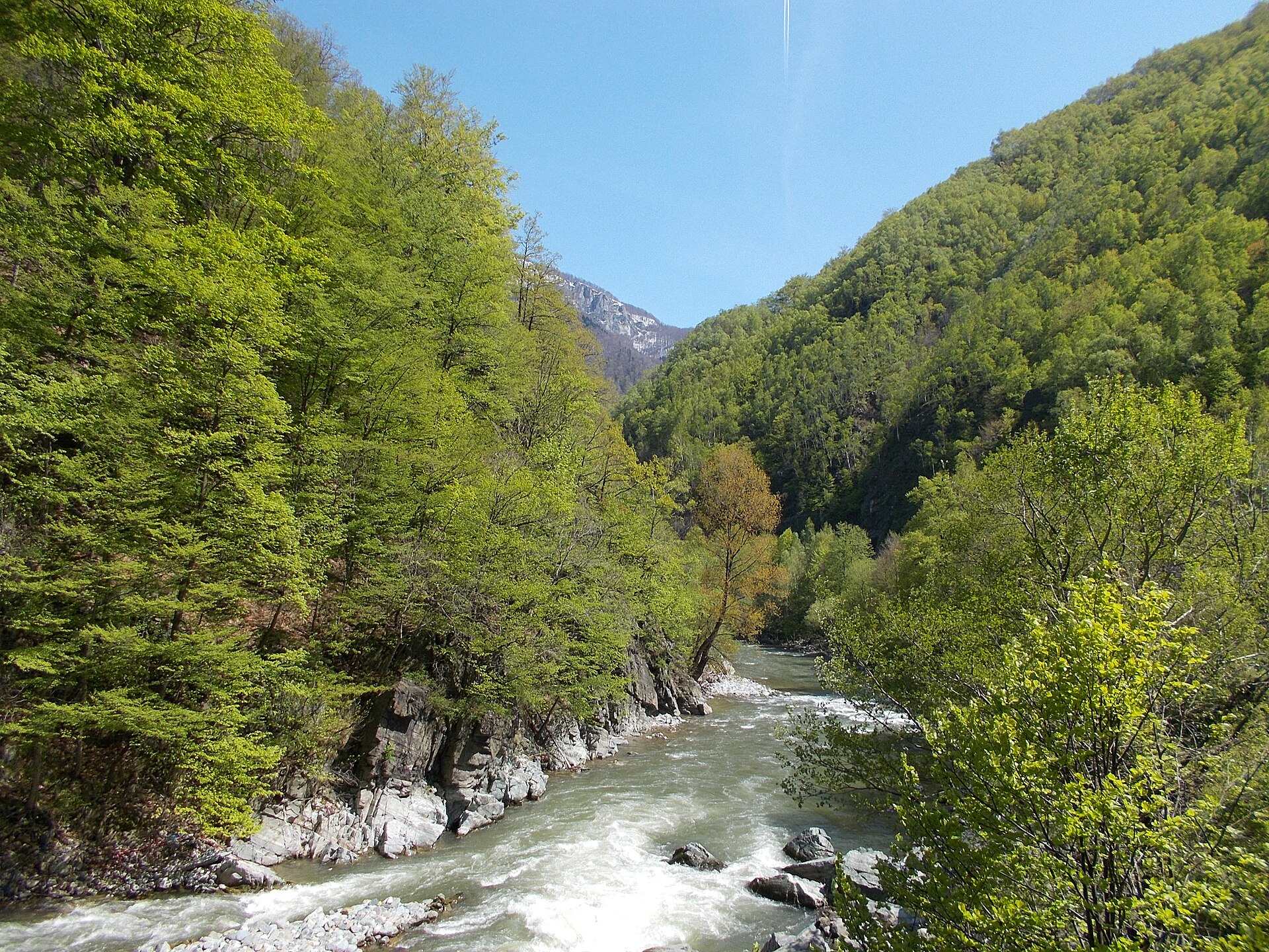
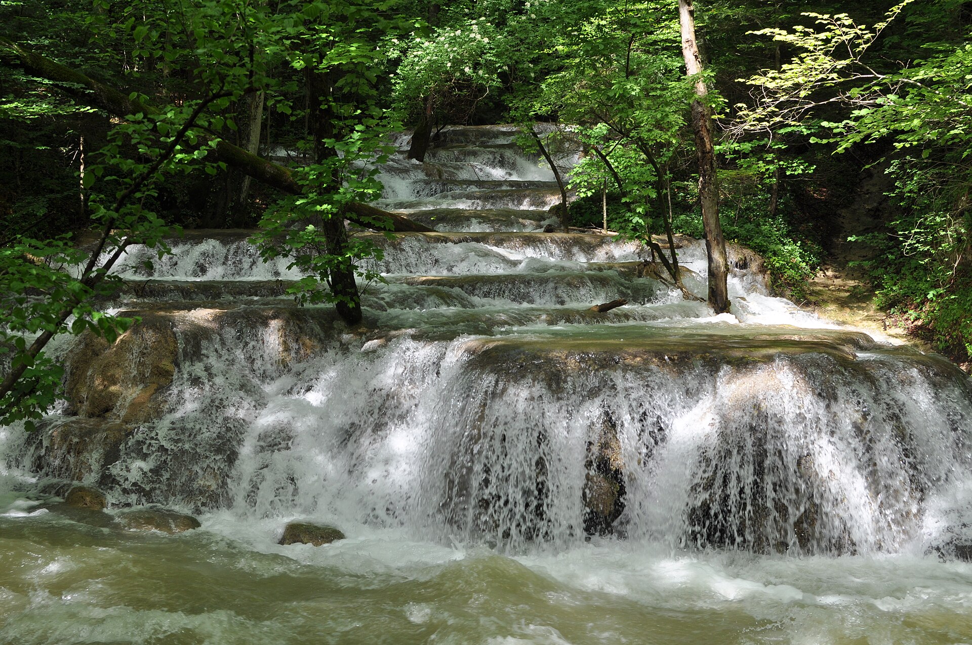
A terrestrial area, with forests and mountains.
Leordișului, at 1,160 m (OpenStreetMap).
Leordișului (1,160 m), Pleșiva (1,144 m), Cârșa Mare (1,098 m), Brăcia (1,076 m) and Dealul Mărgeaua (989 m) (OpenStreetMap).
UNESCO World Heritage (“Ancient and Primeval Beech Forests of the Carpathians and Other Regions of Europe”) and Natura 2000 network (2 sites).
Best time to visit: August and September, with average temperatures of 13 to 19 °C and moderate rainfall.
Yes. According to NASA's MODIS satellites (2015–2025 average), snow covers most of the site in January, with about 35 snow-covered days a year on average.
2 lakes and ponds and 2 caves, including Ochiul Beiului, Oase, Lacul Dracului, Caraș-Severin and Peștera cu Oase (Wikidata).
Yes. According to Wikidata, one monument listed in the Romanian List of Historic Monuments stands within the boundary. For example: “Mănăstirea Călugăra” in Oravița.
Nearest towns of over 50,000 people, as the crow flies: Reșița (25 km) and Drobeta-Turnu Severin (63 km). Nearest airport: Traian Vuia (TSR), about 89 km away.
The nearest railway station is Anina, about 2 km from the site boundary.
Canton Valea Bei and La Primărie.
Yes. Waymarked hiking routes listed in OpenStreetMap: 15, including E 3, Șopotu Nou, Miniș and Lacul Buhui. The “European long distance path E3 - part Romania” route runs for about 48 km through the site, with some 830 m of ascent on its longest section.
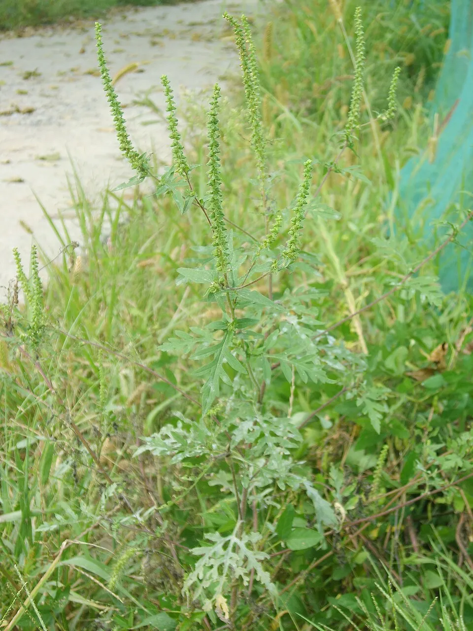
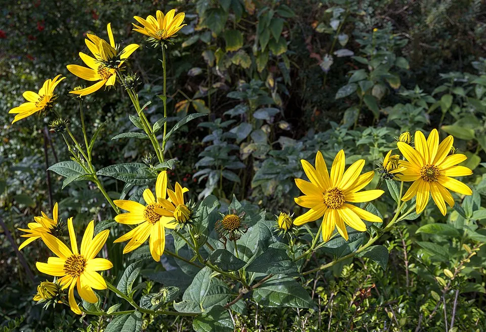
Among the species most often recorded on GBIF are Robinia pseudoacacia (Black locust), Ambrosia artemisiifolia (Annual ragweed), Helianthus tuberosus (Jerusalem artichoke) and Ailanthus altissima (Tree-of-heaven).
© OpenStreetMap
Download the boundary: GeoJSON · GPX Boundary © OpenStreetMap contributors (ODbL).
The representative point of the site lies at around 792 m above sea level. Over the 1996–2025 period, the mean annual temperature is about 8.2 °C and total precipitation reaches roughly 974 mm per year. The warmest month is usually July, the coolest January, and the wettest June.
Terrain: Mapzen Terrain Tiles (SRTM, USGS)
share of the site in each elevation band (smoothed terrain model: summits are rounded off) · Terrain: Mapzen Terrain Tiles (SRTM, USGS)
Data © OpenStreetMap contributors (ODbL)
● Mean temperature (°C) · ▮ Precipitation (mm)
Source: Copernicus ERA5-Land (C3S, doi:10.24381/cds.68d2bb30), monthly averages 1996–2025 interpolated to the representative point, temperatures adjusted for elevation.
Contains modified Copernicus Climate Change Service information 2026. Neither the European Commission nor ECMWF is responsible for any use that may be made of the Copernicus information or data it contains.
average share of the site under snow · snowiest parts · ≈ 35 days a year
Snow cover: MODIS/Terra MOD10CM v61 (Hall & Riggs, 2021, NASA NSIDC DAAC, doi:10.5067/MODIS/MOD10CM.061), imagery from NASA GIBS (ESDIS); 2015–2025 average, grid of about 5 km.
According to CORINE Land Cover (2018), the site is mainly made up of forests (89%) and grassland and meadows (8%). Woodland is mostly broadleaved. Elevation ranges from about 240 m to 1,160 m (highest point: Leordișului). Median elevation is 597 m, and 68% of the site lies above 500 m (SRTM elevation model). The 2 Natura 2000 sites overlapping the area list 24 habitats of European interest (7 priority), the most extensive being Asperulo-Fagetum beech forests, Illyrian Fagus sylvatica forests (Aremonio-Fagion) and Medio-European limestone beech forests of the Cephalanthero-Fagion.
Based on occurrences aggregated by GBIF, several species are regularly recorded within the site. Among the most frequent are Robinia pseudoacacia (Black locust), Ambrosia artemisiifolia (Annual ragweed), Helianthus tuberosus (Jerusalem artichoke) and Ailanthus altissima (Tree-of-heaven). The full list of documented taxa is shown below. The overlapping Natura 2000 sites list 141 species of European interest: 98 birds, 16 mammals, 1 amphibian, 11 fish, 14 invertebrates and 1 plant.
From the official forms of the 2 Natura 2000 sites overlapping the area (areas reported for each whole site).
and 16 more
Eurasian Sparrowhawk (Accipiter nisus) breeding wintering, Common Sandpiper (Actitis hypoleucos) breeding, Eurasian Skylark (Alauda arvensis) breeding, Common Kingfisher (Alcedo atthis) breeding, Eurasian Teal (Anas crecca) breeding, Mallard (Anas platyrhynchos) wintering, Gadwall (Anas strepera) breeding, Water Pipit (Anthus spinoletta) passage, Tree Pipit (Anthus trivialis) breeding, Common Swift (Apus apus) resident, Golden Eagle (Aquila chrysaetos) resident, Lesser spotted eagle (Aquila pomarina) breeding and 86 more
Barbastelle (Barbastella barbastellus), Grey wolf (Canis lupus), Eurasian otter (Lutra lutra), Eurasian Lynx (Lynx lynx), Common bent-wing bat (Miniopterus schreibersii), Bechstein's bat (Myotis bechsteinii), Lesser mouse-eared myotis (Myotis blythii), Long-fingered bat (Myotis capaccinii), Pond bat (Myotis dasycneme), Geoffroy's bat (Myotis emarginatus), Greater mouse-eared bat (Myotis myotis), Blasius's Horseshoe Bat (Rhinolophus blasii) and 4 more
Asp (Aspius aspius), Large-spot Barbel (Barbus balcanicus), Balkan Loach (Cobitis elongata), European bullhead (Cottus gobio), Carpathian brook lamprey (Eudontomyzon danfordi), European bitterling (Rhodeus amarus), Kessler's Gudgeon (Romanogobio kesslerii), Danube Gudgeon (Romanogobio uranoscopus), Danube Whitefin Gudgeon (Romanogobio vladykovi), Balkan Golden Loach (Sabanejewia balcanica), Streber (Zingel streber)
Stone crayfish (Austropotamobius torrentium), Carabus variolosus, Ornate Bluet (Coenagrion ornatum), Balkan goldenring (Cordulegaster heros), Scarce Fritillary (Euphydryas maturna), Jersey Tiger (Euplagia quadripunctaria), Stag beetle (Lucanus cervus), Morimus asper funereus, False comma (Nymphalis vaualbum), Green snaketail (Ophiogomphus cecilia), Hermit Beetle (Osmoderma eremita Complex), Transylvanian Dark Bush-cricket (Pholidoptera transsylvanica) and 2 more
Himantoglossum jankae
Source: Natura 2000 standard data forms (EEA, CC-BY 4.0). Not exhaustive: sensitive species are not published.
Plant

Plant

Plant
11 records © Andrey Zharkikh from Salt Lake City, USA · CC BY 2.0
Occurrences documented via GBIF; they are neither an exhaustive inventory nor proof of current presence.
Records: GBIF.org (CC-BY). Names: Wikidata (CC0), GBIF. Photos: Wikimedia Commons.
The primary purpose of the site is to preserve its natural habitats and the biodiversity they support. The species recorded (Biodiversity tab) reflect its ecological value. The designations it holds frame its management and the control of land use.
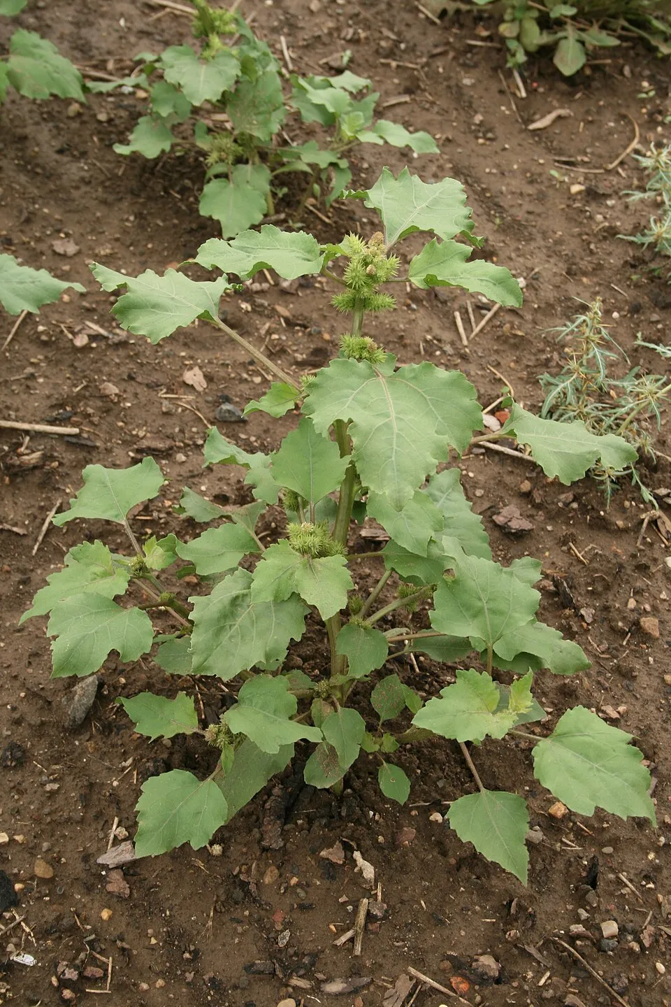
According to Global Forest Change data (University of Maryland, Global Forest Watch), about 364 ha of tree cover were lost within the boundary between 2001 and 2023 (under 1% of its area), peaking in 2014 and 2020. These losses include logging, storms and fires, and do not account for regrowth. Apart from forest felling and regrowth (about 1,220 ha in total), land cover remained almost unchanged between 1990 and 2018 according to CORINE Land Cover. Since 2016, the European EFFIS system (Copernicus) has mapped 22 fires here, burning about 1,839 ha within the boundary; the largest, in March 2017 (near Sasca Montană), covered 323 ha. At night, the area gives off virtually no artificial light detectable from space (NASA VIIRS Black Marble composite, 2016). According to the Natura 2000 forms, of 24 assessed habitats of European interest, 5 are in excellent condition and 1 in average or reduced condition. According to the Water Framework Directive assessment (2022 river basin management plans, data 2018–2020), 64% of the 151 km of rivers assessed within the site are in good or high ecological status. Since 2000, 15 invasive alien species have been recorded within the site (GBIF observations), 2 of them listed as of Union concern under EU Regulation 1143/2014. Among them: Ailanthus altissima (Tree-of-heaven), Reynoutria japonica (Japanese Knotweed) and Robinia pseudoacacia (Black locust).
364 ha
2001–2023 · < 1% of the area
1,839 ha
burned within the boundary (22 mapped fires)
0%
of the area gives off artificial light visible from space
< 1%
buildings, business areas, roads, quarries · farmland 1%
< 0.5%
of the area changed, 1990–2018 · CORINE
forest felling and regrowth: 1,220 ha in total
64%
of the 151 km of assessed rivers in good or high ecological status · WFD 2022
assessments 2018–2020
15
incl. 2 of EU concern · since 2000
Tree-of-heavenEU
 Japanese KnotweedEU
Black locust
Annual ragweed
Jerusalem artichoke
Common cockleburr
Canada Horseweed
 Oak Lace Bug
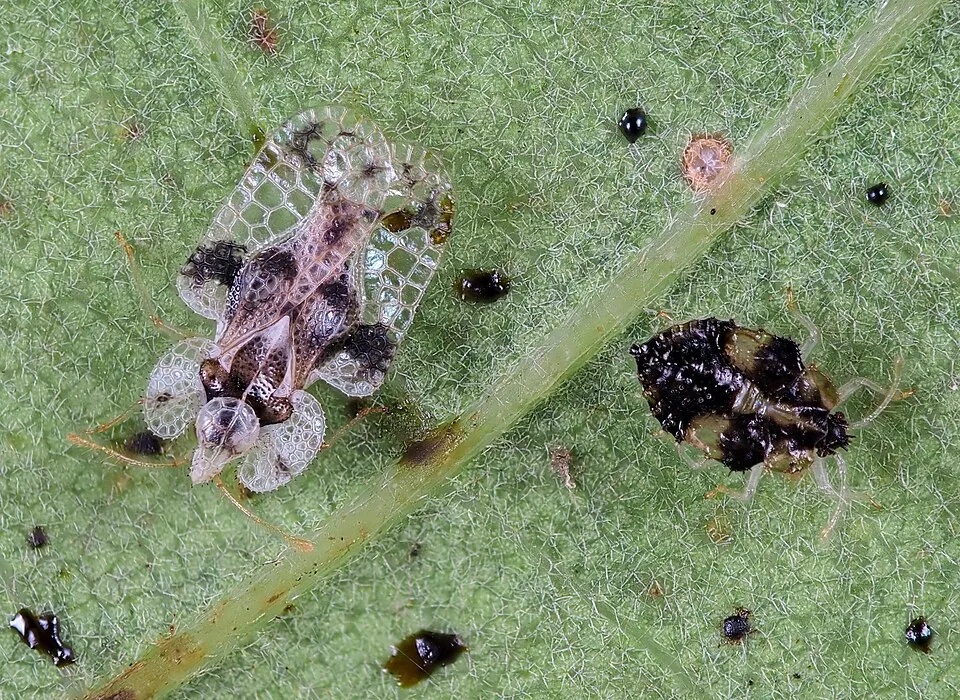
Photos: Tree-of-heaven © Darkone · CC BY-SA 2.5; Japanese Knotweed © W.carter · CC0-1.0; Black locust © This Photo was taken by Wolfgang Moroder. Feel free to use my photos, but please mention me as the author and send me a message. This image is not in the public domain. Please respect the copyright protection. It may only be used according… · CC BY-SA 3.0; Annual ragweed © Dalgial · CC BY-SA 3.0; Jerusalem artichoke © JackyM59 · CC BY-SA 4.0; Common cockleburr © Oceancetaceen - Alice Chodura · CC BY-SA 3.0; Canada Horseweed © Andrey Zharkikh from Salt Lake City, USA · CC BY 2.0; Oak Lace Bug © gillessanmartin · CC BY-SA 4.0
Sources: Global Forest Change (Hansen et al., University of Maryland, via Global Forest Watch, CC-BY 4.0); EFFIS, European Commission / Copernicus; NASA Black Marble 2016 (public domain); CORINE Land Cover 2018 (Copernicus) or MODIS.
CORINE Land Cover Change 1990–2018: generated using European Union's Copernicus Land Monitoring Service information (EEA), aggregated by Parkavela; DOI 10.2909/f30f1000-7cf8-43bb-872c-5eb093911b24.
Ecological status of water bodies: European Environment Agency, WISE – Water Framework Directive, 3rd river basin management plans (2022), CC BY 4.0. Official national classification, not comparable between countries.
Invasive alien species: Global Register of Introduced and Invasive Species (ISSG, CC BY 4.0); Union list, Regulation (EU) 1143/2014 (INBO, CC0); GBIF.org records (CC0 / CC BY 4.0), at least 2 per species.
5 public car parks listed within the site
2 lakes and ponds · 2 caves
15 waymarked routes listed, including:
Data © OpenStreetMap contributors (ODbL) · Wikidata (CC0)
48.4 km within the site ↗ 825 m↘ 848 m 170–700 m
20.9 km within the site ↗ 448 m↘ 415 m 167–275 m
24.2 km within the site ↗ 148 m↘ 568 m 178–704 m
4.6 km within the site ↗ 332 m↘ 0 m 277–615 m
2.5 km within the site ↗ 15 m↘ 14 m 229–247 m
Tracks © OpenStreetMap contributors (ODbL), clipped to the boundary; elevation gain and profiles computed on the longest section from Mapzen Terrain Tiles (≈ 30 m), indicative only.
The nearest railway station is Anina, about 2 km from the site boundary. Nearest towns of over 50,000 people, as the crow flies: Reșița (25 km) and Drobeta-Turnu Severin (63 km). Nearest airport: Traian Vuia (TSR), about 89 km away. About 80,000 people live within 20 km of the site boundary, 36,000 of them within 10 km; some 1,300 people are estimated to live inside (GHSL estimate, 2020). This population has fallen by about 18% since 2000. Visitor information on site: Canton Valea Bei and La Primărie. Public car parks listed within the site: 5, including Cascada Bigăr. Waymarked hiking routes listed in OpenStreetMap: 15, including E 3, Șopotu Nou, Miniș and Lacul Buhui. To see: 2 lakes and ponds and 2 caves, including Ochiul Beiului, Oase, Lacul Dracului, Caraș-Severin and Peștera cu Oase. To plan a visit (access, opening periods, visitor rules), it is best to consult the official information from the managing body and the official website listed in this page's sources.
Source: OpenStreetMap (ODbL), Wikidata (CC0), October 2026.
According to Wikidata, one monument listed in the Romanian List of Historic Monuments stands within the boundary. It is “Mănăstirea Călugăra” in Oravița.
Source: Wikidata (CC0), monuments in each country’s official heritage protection registers, at national or regional level. Each item links to its Wikidata entry.
Best time to visit: August and September, with average temperatures of 13 to 19 °C and moderate rainfall. Average temperatures drop below 0 °C from December to February: frost is common. According to NASA's MODIS satellites (2015–2025 average), snow covers most of the site in January, with about 35 snow-covered days a year on average. Day length ranges from about 8 h 47 min in December to 15 h 35 min in June. Wildlife records published on GBIF peak for birds (April) and plants (June). These peaks also reflect when observers are most active.
Source: Copernicus ERA5-Land (C3S), monthly averages 1996–2025 at the representative point, temperatures adjusted for elevation.
Contains modified Copernicus Climate Change Service information 2026. Neither the European Commission nor ECMWF is responsible for any use that may be made of the Copernicus information or data it contains.
Monthly records published on GBIF (CC-BY), relative to the busiest month; also reflects observer activity.
Data © OpenStreetMap contributors (ODbL), Wikidata (CC0) and the sources cited.