
Serbia · Terrestrial
Đerdap National Park
National park of 63,608 hectares in Serbia, established in 1974.
Overview
National park of 63,608 hectares in Serbia, established in 1974.
Đerdap National Park is located in Serbia (Europe). It is a predominantly terrestrial area. Established in 1974, it covers about 63,608 hectares.
Protections and designations
Ramsar site
World Heritage tentative list
Protected as a national park. International labels and designations: Ramsar site.
In our collections
Frequently asked questions
Where is Đerdap National Park?
In Serbia (Europe). Representative point: 44.6667° N, 22.5167° E.
How large is Đerdap National Park?
About 63,608 hectares (636 km²). It is the largest of the 4 national parks in Serbia covered by Parkavela.
When was Đerdap National Park established?
In 1974.
What habitats and landscapes does Đerdap National Park include?
A terrestrial area, with forests.
What is the highest point of Đerdap National Park?
Veliki Liškovac, at 803 m (OpenStreetMap).
What are the main summits of Đerdap National Park?
Veliki Liškovac (803 m), Šomrdski kamen (803 m), Ciganija (803 m), Graotar (797 m) and Veliki Štrbac (768 m) (OpenStreetMap).
Which international labels apply to Đerdap National Park?
Ramsar site.
When is the best time to visit Đerdap National Park?
Best time to visit: from April to October, with average temperatures of 11 to 23 °C and moderate rainfall.
What is there to see in Đerdap National Park?
Balta alu Šontu (lake or pond) (Wikidata).
Are there historic monuments in Đerdap National Park?
Yes. According to Wikidata, 3 monuments protected in Serbia as cultural heritage of exceptional importance stand within the boundary. For example: “Diana Fortress” in Kladovo, “Tabula Traiana” in Kladovo and “Golubac” in Golubac.
What is the nearest large city to Đerdap National Park?
Nearest towns of over 50,000 people, as the crow flies: Drobeta-Turnu Severin (9 km) and Reșița (71 km). Nearest airport: Belgrade Nikola Tesla (BEG), about 109 km away.
How can I reach Đerdap National Park by train?
The nearest railway station is Orșova, about 4 km from the site boundary.
Where can I get visitor information on site?
Turisticki Info Centar and Centrul de vizitare Parcul Natural Porțile de Fier.
Are there waymarked hiking trails in Đerdap National Park?
Yes. Waymarked hiking routes listed in OpenStreetMap: 16, including E 3, E 4 and E 8. The E4-9 · E4: Lepenski Vir – Derdap route runs for about 98 km through the site, with some 780 m of ascent on its longest section.
Which species can be seen in Đerdap National Park?
Among the species most often recorded on GBIF are Parus major (Great tit), Fringilla coelebs (Eurasian Chaffinch), Turdus merula (Common Blackbird) and Anas platyrhynchos (Mallard).
What is the official website of Đerdap National Park?
© OpenStreetMap
Download the boundary: GeoJSON · GPX Boundary © OpenStreetMap contributors (ODbL).
Geography
The representative point of the site lies at around 145 m above sea level. Over the 1996–2025 period, the mean annual temperature is about 11.5 °C and total precipitation reaches roughly 770 mm per year. The warmest month is usually July, the coolest January, and the wettest May. The site contains one lake larger than 10 ha (Đerdapsko jezero), totalling 69.5 km² of water (HydroLAKES).
Area
- Area
- 63,608 ha
- Elevation
- 145 m
- Median elevation
- 372 m
- Mean slope
- 14°
- Lakes over 10 ha
- 1 (69.5 km²)
- Coordinates
- 44.6667, 22.5167
Terrain: Mapzen Terrain Tiles (SRTM, USGS) · Lakes: HydroLAKES (Messager et al. 2016, hydrosheds.org, CC BY 4.0) · depths: Wikidata (CC0)
Main summits
- Veliki Liškovac803 m
- Šomrdski kamen803 m
- Ciganija803 m
- Graotar797 m
- Veliki Štrbac768 m
- Kraku Bauca748 m
- Radulova cuka735 m
- Kulmea Orba727 m
- Vojinovo708 m
- Sinjerski vis702 m
Data © OpenStreetMap contributors (ODbL)
Climate
● Mean temperature (°C) · ▮ Precipitation (mm)
Source: Copernicus ERA5-Land (C3S, doi:10.24381/cds.68d2bb30), monthly averages 1996–2025 interpolated to the representative point, temperatures adjusted for elevation.
Contains modified Copernicus Climate Change Service information 2026. Neither the European Commission nor ECMWF is responsible for any use that may be made of the Copernicus information or data it contains.
Natural habitats
According to CORINE Land Cover (2018), the site is mainly made up of forests (74%), lakes and rivers (8%) and heath and scrub (8%). Woodland is mostly broadleaved. Elevation ranges from about 60 m to 803 m (highest point: Veliki Liškovac).
Biodiversity
Based on occurrences aggregated by GBIF, several species are regularly recorded within the site. Among the most frequent are Parus major (Great tit), Fringilla coelebs (Eurasian Chaffinch), Turdus merula (Common Blackbird) and Anas platyrhynchos (Mallard). The full list of documented taxa is shown below.
Species to look out for




Observed species
Occurrences documented via GBIF; they are neither an exhaustive inventory nor proof of current presence.
- Great tit · Parus major · 113
- Eurasian Chaffinch · Fringilla coelebs · 105
- Common Blackbird · Turdus merula · 88
- Mallard · Anas platyrhynchos · 76
- Griffon Vulture · Gyps fulvus · 75
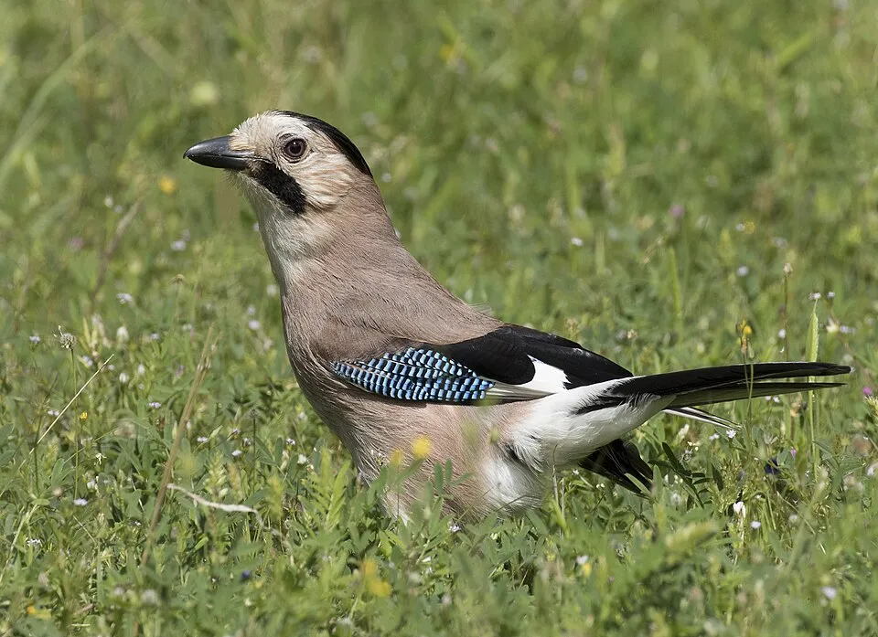
- Eurasian Jay · Garrulus glandarius · 74
- Black-headed Gull · Chroicocephalus ridibundus · 74
- Great Cormorant · Phalacrocorax carbo · 67
- Northern Raven · Corvus corax · 67
- Hooded Crow · Corvus cornix · 66
- Eurasian blue tit · Cyanistes caeruleus · 65
- White Wagtail · Motacilla alba · 64
+18 more species
- Common Buzzard · Buteo buteo · 59
- Grey Heron · Ardea cinerea · 59
- Eurasian Nuthatch · Sitta europaea · 57
- Mute Swan · Cygnus olor · 54
- Marsh Tit · Poecile palustris · 53
- Common House Martin · Delichon urbicum · 49
- European robin · Erithacus rubecula · 49
- Pygmy Cormorant · Microcarbo pygmaeus · 45
- Eurasian Blackcap · Sylvia atricapilla · 44
- Long-tailed Tit · Aegithalos caudatus · 42
- Great Spotted Woodpecker · Dendrocopos major · 41
- European Green Woodpecker · Picus viridis · 38
- Barn Swallow · Hirundo rustica · 38
- Rock Dove · Columba livia · 32
- Common Coot · Fulica atra · 31
- Common Wood Pigeon · Columba palumbus · 31
- Common Kestrel · Falco tinnunculus · 31
- Common Chiffchaff · Phylloscopus collybita · 30
Records: GBIF.org (CC-BY). Names: Wikidata (CC0), GBIF. Photos: Wikimedia Commons.
Conservation challenges
The primary purpose of the site is to preserve its natural habitats and the biodiversity they support. The species recorded (Biodiversity tab) reflect its ecological value. The designations it holds frame its management and the control of land use.
According to Global Forest Change data (University of Maryland, Global Forest Watch), about 368 ha of tree cover were lost within the boundary between 2001 and 2023 (under 1% of its area), peaking in 2014 and 2018. These losses include logging, storms and fires, and do not account for regrowth. Apart from forest felling and regrowth (about 730 ha in total), land cover remained almost unchanged between 1990 and 2018 according to CORINE Land Cover. Since 2016, the European EFFIS system (Copernicus) has mapped 21 fires here, burning about 480 ha within the boundary; the largest, in October 2026 (near Kladovo), covered 105 ha. At night, 2% of the area gives off artificial light detectable from space (NASA VIIRS Black Marble composite, 2016).
Pressure indicators
Tree cover lost
368 ha
2001–2023 · < 1% of the area
20012023
Fires since 2016
480 ha
burned within the boundary (21 mapped fires)
- 2026 · Kladovo · 105 ha
- 2025 · Kladovo · 58 ha
- 2021 · Kladovo · 54 ha
Light at night
2%
of the area gives off artificial light visible from space
DarkLit
Built-up land
< 1%
buildings, business areas, roads, quarries · farmland 7%
Land cover change
< 0.5%
of the area changed, 1990–2018 · CORINE
forest felling and regrowth: 730 ha in total
Sources: Global Forest Change (Hansen et al., University of Maryland, via Global Forest Watch, CC-BY 4.0); EFFIS, European Commission / Copernicus; NASA Black Marble 2016 (public domain); CORINE Land Cover 2018 (Copernicus) or MODIS.
CORINE Land Cover Change 1990–2018: generated using European Union's Copernicus Land Monitoring Service information (EEA), aggregated by Parkavela; DOI 10.2909/f30f1000-7cf8-43bb-872c-5eb093911b24.
Practical information
Cities and airport
- Drobeta-Turnu Severin
9 km as the crow flies - Reșița
71 km as the crow flies - Airport: Belgrade Nikola Tesla (BEG)
109 km as the crow flies
Visitor information
- Turisticki Info Centar
within the site - Centrul de vizitare Parcul Natural Porțile de Fier
2 km from the site boundary
Parking
37 public car parks listed within the site
Lepinski Vir
Hiking
16 waymarked routes listed, including:
E 3E 4E 8
By bike
EV6 / EV13 · 108 km
Signed cycle routes: this does not mean that cycling is allowed on footpaths.
Wheelchair access
- Turisticki Info Centar
visitor information
Reported by OpenStreetMap contributors (ODbL); check with the park before visiting.
Data © OpenStreetMap contributors (ODbL) · Wikidata (CC0)
Contains information from EuroVelo GPX tracks downloaded from www.EuroVelo.com on 2026-10-22, which is made available here under the Open Database License (ODbL). EuroVelo® is a registered trademark of the ECF. Routes © OpenStreetMap contributors (ODbL), via Waymarked Trails
Waymarked hiking routes
E3 European long distance path E3 - part Serbia
3.2 km within the site ↗ 12 m↘ 34 m 40–75 m
E4-7 E4: Veliko Gradište – Beljanica vrh
1.3 km within the site ↗ 34 m↘ 0 m 326–362 m
E4-8 E4: Beljanica vrh – Lepenski Vir
25.3 km within the site ↗ 1,564 m↘ 953 m 100–785 m
E4-9 E4: Lepenski Vir – Derdap
97.6 km within the site ↗ 776 m↘ 753 m 186–748 m
Tracks © OpenStreetMap contributors (ODbL), clipped to the boundary; elevation gain and profiles computed on the longest section from Mapzen Terrain Tiles (≈ 30 m), indicative only.
Access and visiting
The nearest railway station is Orșova, about 4 km from the site boundary. Nearest towns of over 50,000 people, as the crow flies: Drobeta-Turnu Severin (9 km) and Reșița (71 km). Nearest airport: Belgrade Nikola Tesla (BEG), about 109 km away. About 220,000 people live within 20 km of the site boundary, 130,000 of them within 10 km; some 5,900 people are estimated to live inside (GHSL estimate, 2020). This population has fallen by about 23% since 2000. Visitor information on site: Turisticki Info Centar and Centrul de vizitare Parcul Natural Porțile de Fier. Public car parks listed within the site: 37, including Lepinski Vir. Waymarked hiking routes listed in OpenStreetMap: 16, including E 3, E 4 and E 8. The EuroVelo 6 and EuroVelo 13 cycle routes, which share the same line here, cross the site for about 108 km (EuroVelo). OpenStreetMap contributors list one wheelchair-accessible place: Turisticki Info Centar; check with the park before visiting. To see: Balta alu Šontu (lake or pond). To plan a visit (access, opening periods, visitor rules), it is best to consult the official information from the managing body and the official website listed in this page's sources.
Source: OpenStreetMap (ODbL), Wikidata (CC0), October 2026.
Built heritage
According to Wikidata, 3 monuments protected in Serbia as cultural heritage of exceptional importance stand within the boundary. Examples include “Diana Fortress” in Kladovo, “Tabula Traiana” in Kladovo and “Golubac” in Golubac.
2 castles and fortifications1 prehistoric or archaeological site
-
Diana Fortress
Kladovo -
Tabula Traiana
Kladovo -
Golubac
Golubac · 14th c.
Source: Wikidata (CC0), monuments in each country’s official heritage protection registers, at national or regional level. Each item links to its Wikidata entry.
When to visit
Best time to visit: from April to October, with average temperatures of 11 to 23 °C and moderate rainfall. Day length ranges from about 8 h 49 min in December to 15 h 33 min in June. Wildlife records published on GBIF peak for plants (from April to June) and butterflies and moths (November). These peaks also reflect when observers are most active.
Source: Copernicus ERA5-Land (C3S), monthly averages 1996–2025 at the representative point, temperatures adjusted for elevation.
Contains modified Copernicus Climate Change Service information 2026. Neither the European Commission nor ECMWF is responsible for any use that may be made of the Copernicus information or data it contains.
Wildlife records calendar
JFMAMJJASOND
Birds
Plants
Butterflies & moths
Monthly records published on GBIF (CC-BY), relative to the busiest month; also reflects observer activity.
Gallery
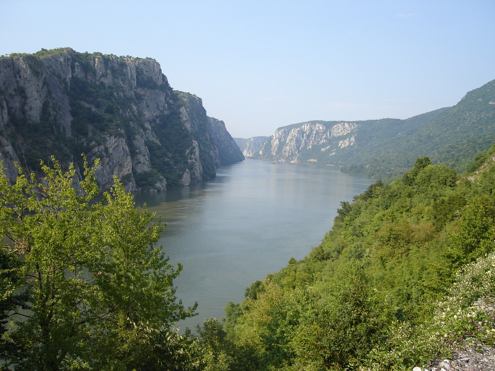
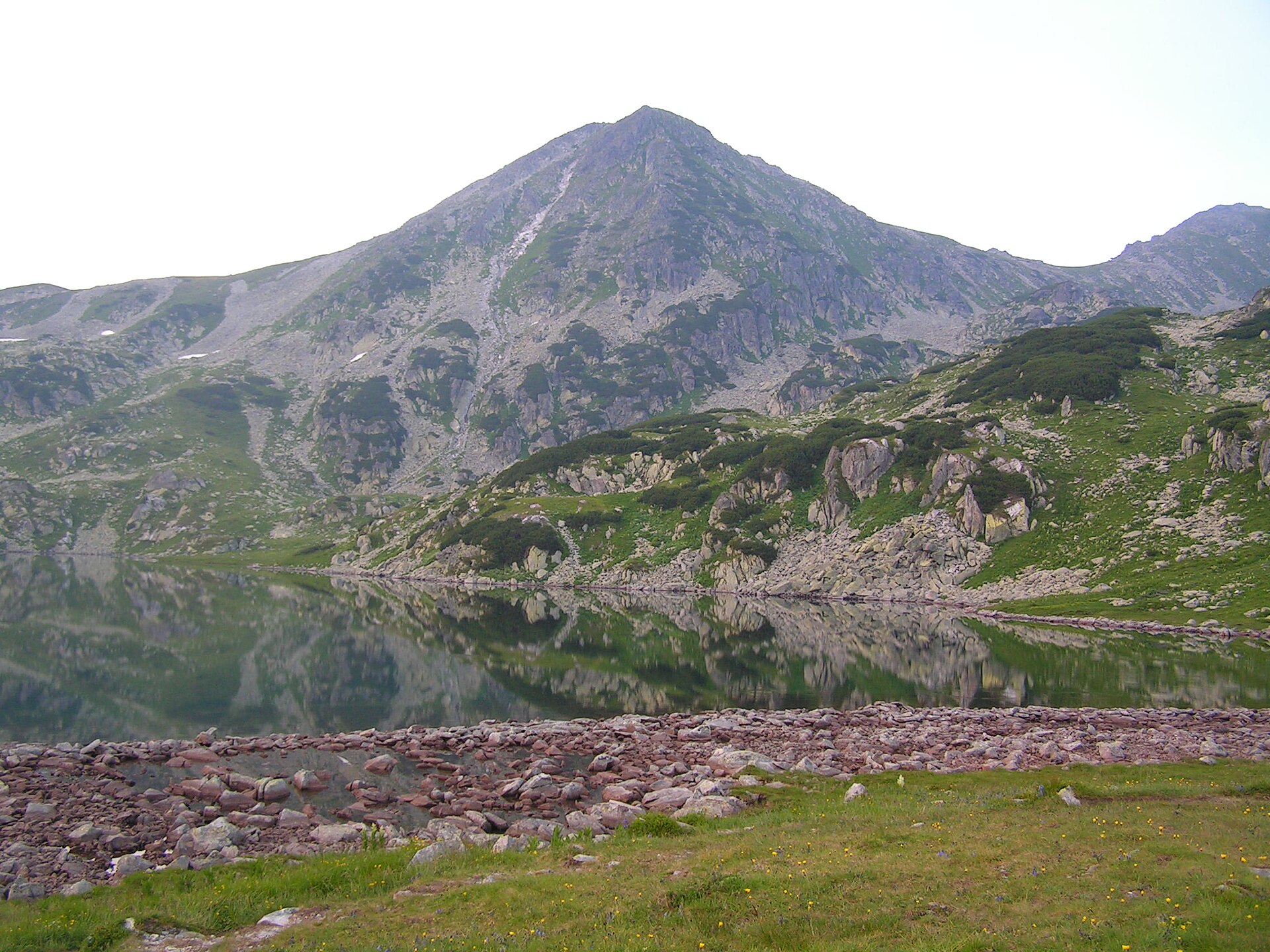
© Denis Barthel · CC BY-SA 3.0
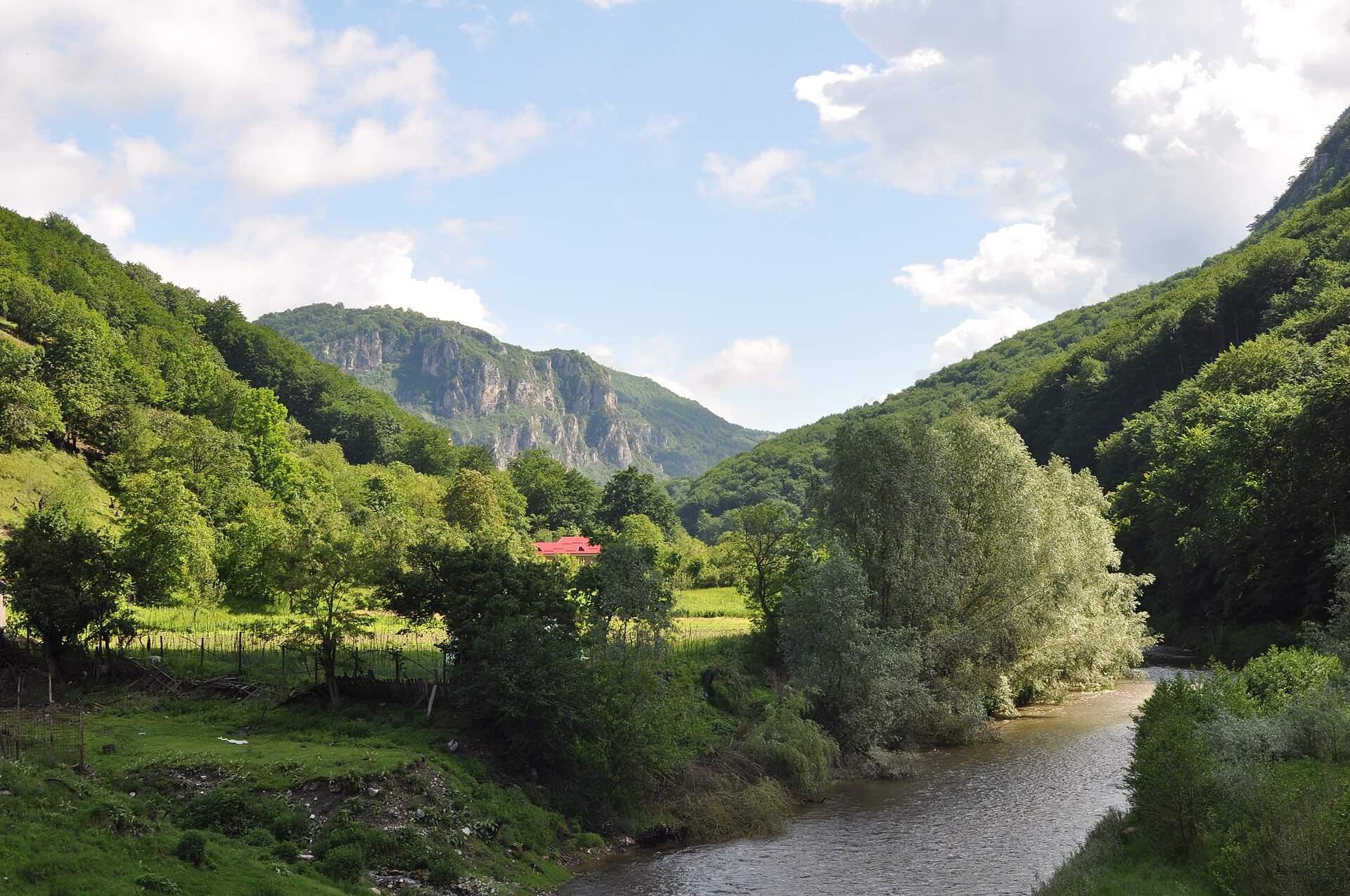
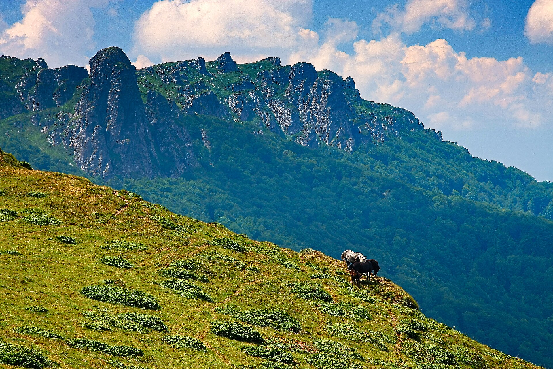
© Synezis · CC BY-SA 4.0
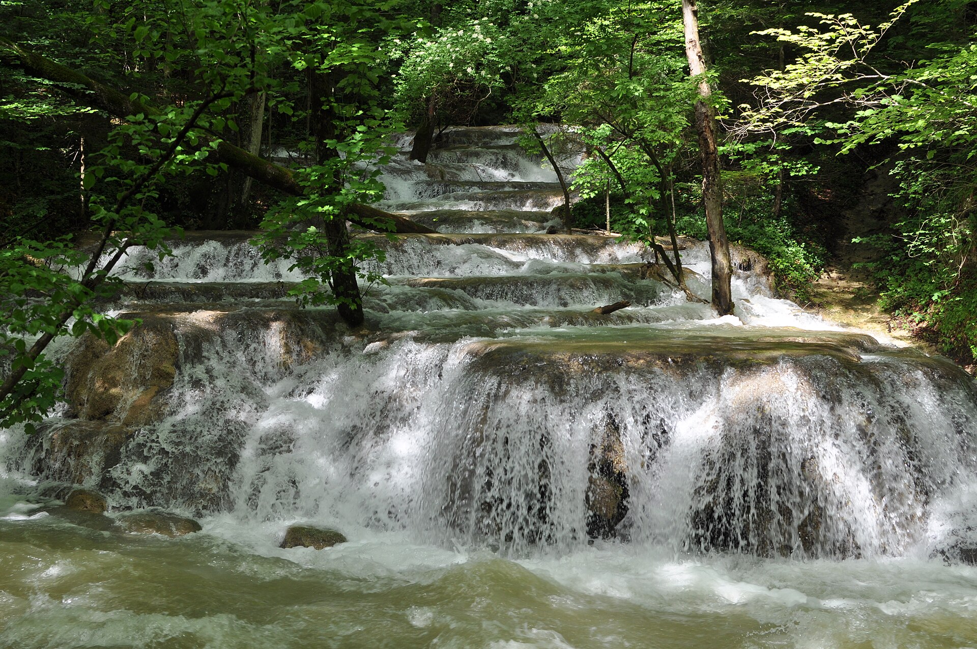
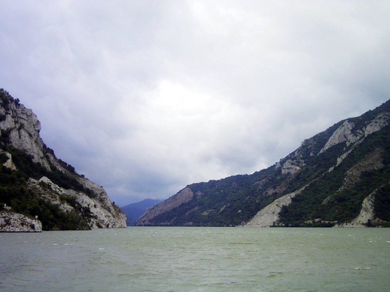
© Zerocool.marko · CC BY-SA 4.0
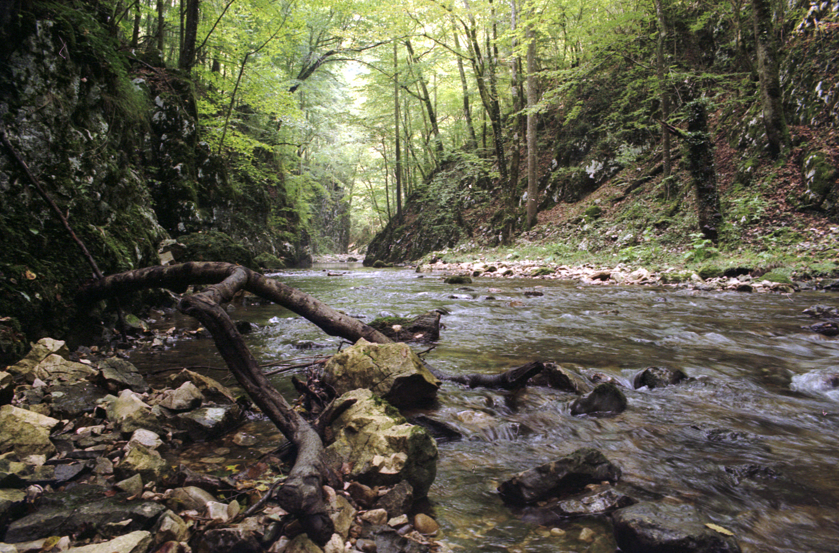
© Aporia.j · CC BY-SA 4.0
© Aporia.j · CC BY-SA 4.0
© Zerocool.marko · CC BY-SA 4.0
Sources and licences
- Wikidata: Q1258055
- OpenStreetMap: relation 9499038
- Official website: http://www.npdjerdap.org
- Wikipedia: en.wikipedia.org/wiki/Đerdap_National_Park
- WDPA: 2522
References
- cds.climate.copernicus.eu: climate · CC-BY-4.0
- registry.opendata.aws: elevation of the reference point, detailed relief · PD
- land.copernicus.eu: land cover, land cover change, sea share · COPERNICUS
- doi.org: population around the site · CC-BY-4.0
- wikidata.org: official area, establishment date, protected heritage, nearby cities and airport, access and peaks, lake depths, places to see, official website · CC0-1.0
- eea.europa.eu: bathing water quality · CC-BY-4.0
- en.eurovelo.com: EuroVelo cycle routes · ODbL-1.0
- cycling.waymarkedtrails.org: cycle routes · ODbL-1.0
- opentopodata.org: elevations · PD
- forest-fire.emergency.copernicus.eu: wildfires · COPERNICUS
- globalforestwatch.org: tree cover loss · CC-BY-4.0
- gbif.org: seasonality of sightings, invasive alien species, observed species · CC-BY-4.0
- hydrosheds.org: lakes · CC-BY-4.0
- openstreetmap.org: official name, access and peaks, trail difficulty, wheelchair access · ODbL-1.0
- earthobservatory.nasa.gov: night light · PD
- hiking.waymarkedtrails.org: route difficulty · ODbL-1.0
- nsidc.org: snow cover · PD
- wikidata.org: Wikipedia article · CC-BY-SA-4.0
Data © OpenStreetMap contributors (ODbL), Wikidata (CC0) and the sources cited.