Insect
Romania · Terrestrial
National park of 13,759 hectares in Romania, established in 2005.
National park of 13,759 hectares in Romania, established in 2005.
Defileul Jiului National Park is located in Romania (Europe). It is a predominantly terrestrial area. Established in 2005, it covers about 13,759 hectares.
Protected as a national park. International labels and designations: Natura 2000 network (1 site: “Defileul Jiului”). Key dates: established in 2005 and first Natura 2000 site under the Habitats Directive in 2008.
Sources: Wikidata (CC0) for establishment and international labels; EEA Natura 2000 database (CC-BY 4.0) for site designation dates.
In Romania (Europe). Representative point: 45.2720° N, 23.3680° E.
About 13,759 hectares (138 km²). It is the 9th largest of the 11 national parks in Romania covered by Parkavela.
In 2005.
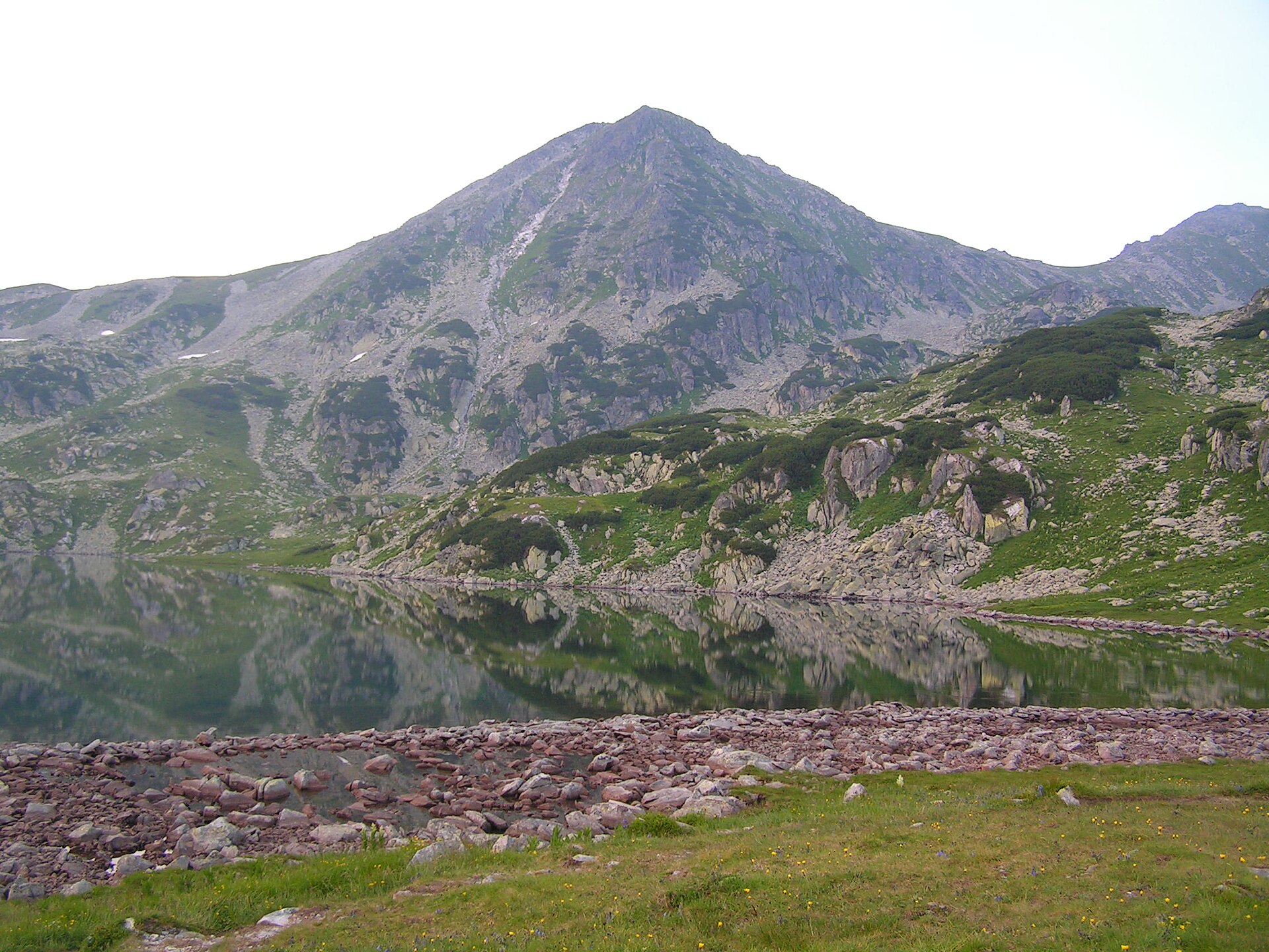
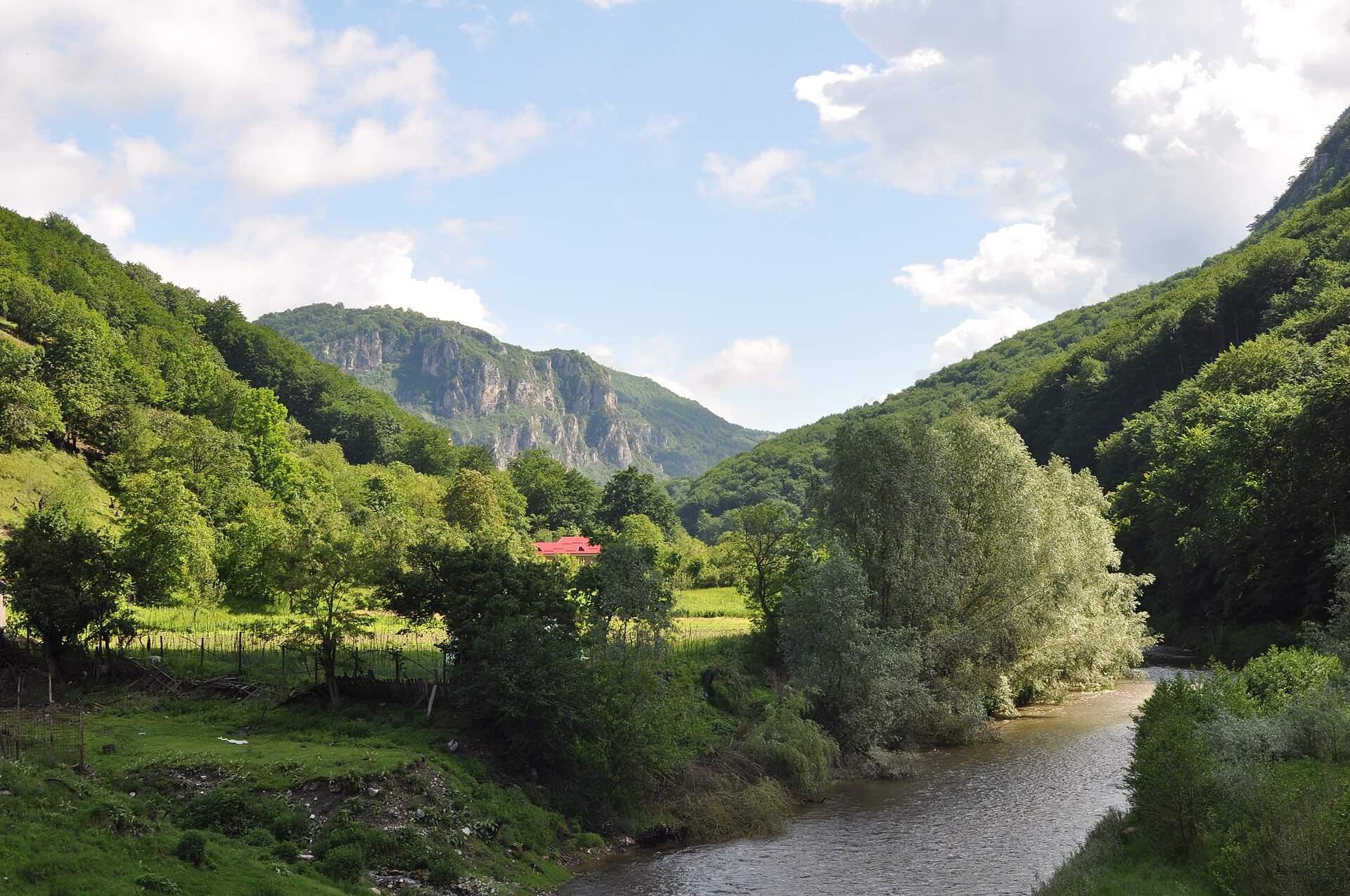
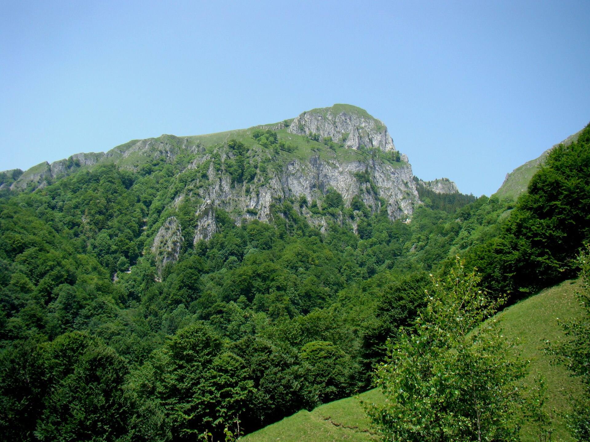
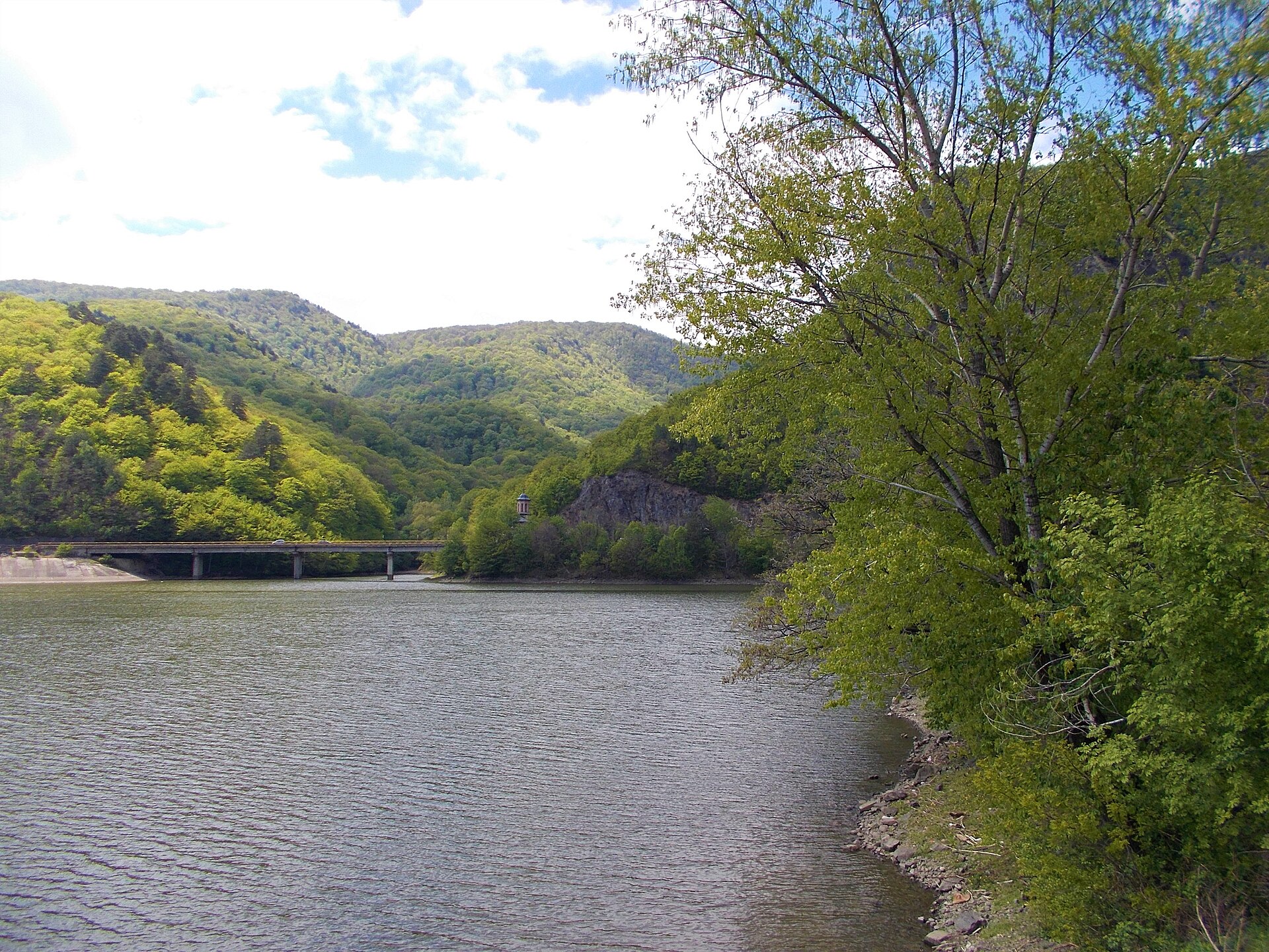
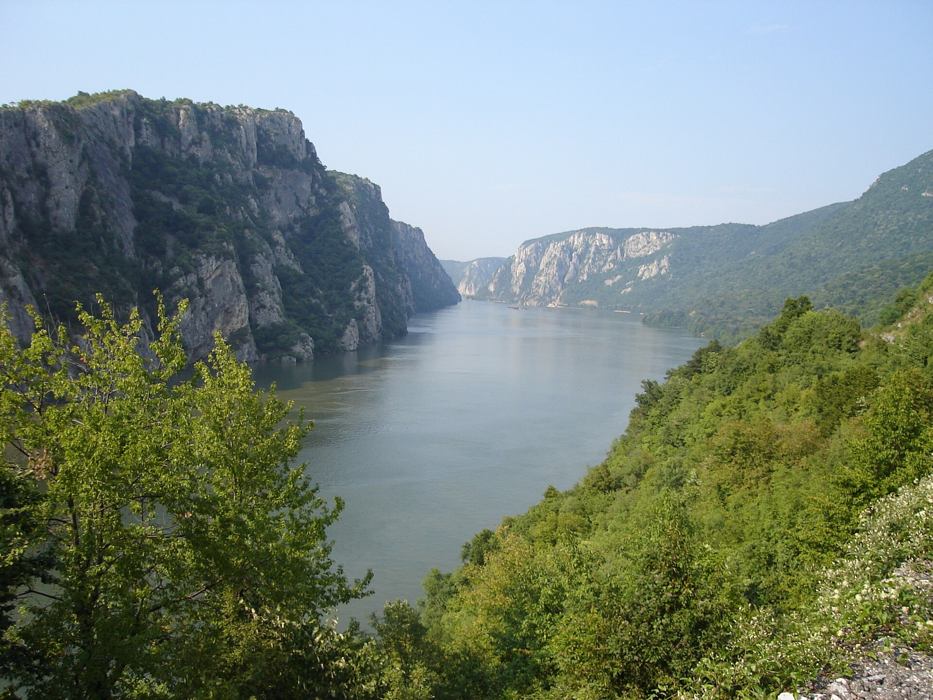
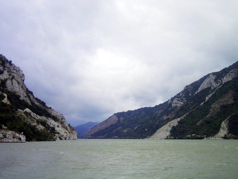
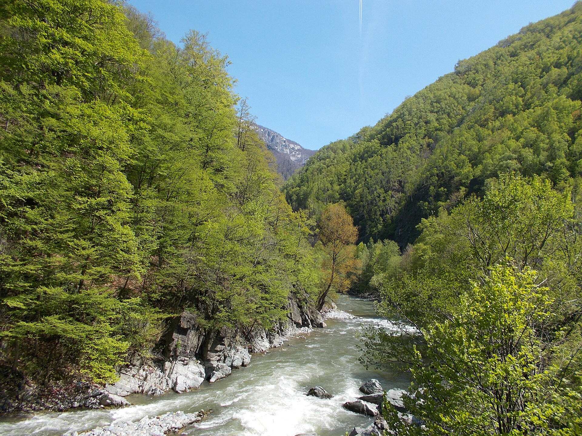
A terrestrial area, with forests and mountains.
Natura 2000 network (1 site: “Defileul Jiului”).
Best time to visit: August and September, with average temperatures of 14 to 20 °C and moderate rainfall.
Yes. According to NASA's MODIS satellites (2015–2025 average), snow covers the site about 35 days a year, mostly from December to February.
Yes. According to Wikidata, one monument listed in the Romanian List of Historic Monuments stands within the boundary. For example: “Lainici Monastery” in Bumbești-Jiu.
Nearest towns of over 50,000 people, as the crow flies: Târgu Jiu (18 km) and Deva (66 km). Nearest airport: Sibiu (SBZ), about 73 km away.
Meri railway station lies within the site.
Yes. Waymarked hiking routes listed in OpenStreetMap: 6. The “Defileul Jiului - Șaua Prisloapelor - Vf. Parângul Mare” route runs for about 9 km through the site, with some 970 m of ascent on its longest section.
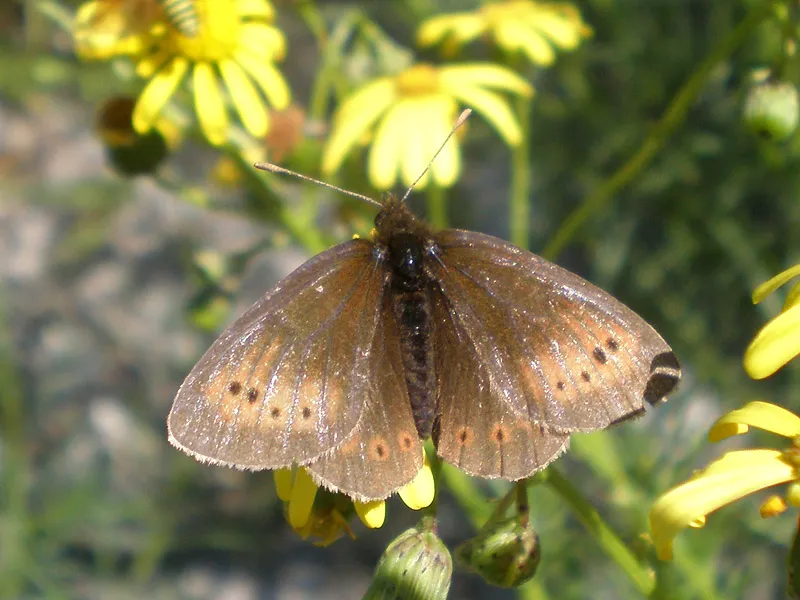
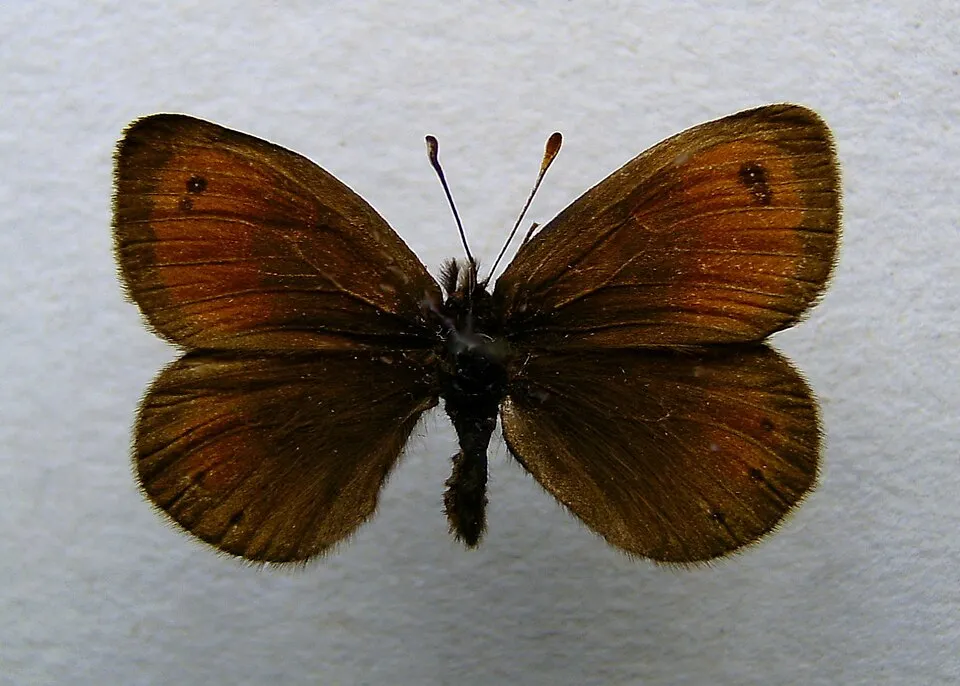
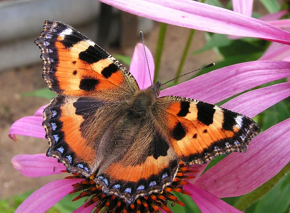
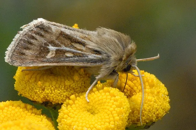
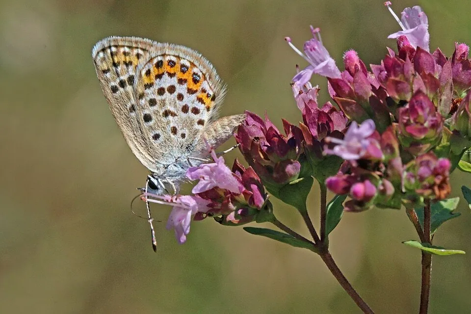
Among the species most often recorded on GBIF are Erebia epiphron (Small Mountain Ringlet), Erebia gorge (Silky Ringlet), Aglais urticae (Small tortoiseshell) and Cerapteryx graminis (Antler Moth).
© OpenStreetMap
Download the boundary: GeoJSON · GPX Boundary © OpenStreetMap contributors (ODbL).
The representative point of the site lies at around 596 m above sea level. Over the 1996–2025 period, the mean annual temperature is about 9.4 °C and total precipitation reaches roughly 1,037 mm per year. The warmest month is usually July, the coolest January, and the wettest May.
Terrain: Mapzen Terrain Tiles (SRTM, USGS)
share of the site in each elevation band (smoothed terrain model: summits are rounded off) · Terrain: Mapzen Terrain Tiles (SRTM, USGS)
● Mean temperature (°C) · ▮ Precipitation (mm)
Source: Copernicus ERA5-Land (C3S, doi:10.24381/cds.68d2bb30), monthly averages 1996–2025 interpolated to the representative point, temperatures adjusted for elevation.
Contains modified Copernicus Climate Change Service information 2026. Neither the European Commission nor ECMWF is responsible for any use that may be made of the Copernicus information or data it contains.
average share of the site under snow · snowiest parts · ≈ 35 days a year
Snow cover: MODIS/Terra MOD10CM v61 (Hall & Riggs, 2021, NASA NSIDC DAAC, doi:10.5067/MODIS/MOD10CM.061), imagery from NASA GIBS (ESDIS); 2015–2025 average, grid of about 5 km.
According to CORINE Land Cover (2018), the site is mainly made up of forests (93%) and grassland and meadows (6%). Woodland is mostly broadleaved. Elevation ranges from about 370 to 1,530 m (sampled elevations, SRTM). Median elevation is 842 m, and 32% of the site lies above 1,000 m (SRTM elevation model). The terrain is steep: 26% of slopes exceed 30° (mean slope 24°). The Natura 2000 site overlapping the area lists 22 habitats of European interest (5 priority), the most extensive being Dacian Beech forests (Symphyto-Fagion), Luzulo-Fagetum beech forests and Alpine and Boreal heaths.
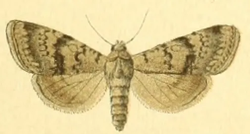
Based on occurrences aggregated by GBIF, several species are regularly recorded within the site. Among the most frequent are Erebia epiphron (Small Mountain Ringlet), Erebia gorge (Silky Ringlet), Aglais urticae (Small tortoiseshell) and Cerapteryx graminis (Antler Moth). The full list of documented taxa is shown below. The overlapping Natura 2000 site lists 30 species of European interest: 10 mammals, 2 amphibians, 4 fish, 12 invertebrates and 2 plants.
From the official form of the Natura 2000 site overlapping the area (areas reported for the whole site).
and 14 more
Barbastelle (Barbastella barbastellus), Grey wolf (Canis lupus), Eurasian otter (Lutra lutra), Eurasian Lynx (Lynx lynx), Common bent-wing bat (Miniopterus schreibersii), Lesser mouse-eared myotis (Myotis blythii), Greater mouse-eared bat (Myotis myotis), Greater Horseshoe Bat (Rhinolophus ferrumequinum), Lesser horseshoe bat (Rhinolophus hipposideros), Brown bear (Ursus arctos)
Large-spot Barbel (Barbus balcanicus), European bullhead (Cottus gobio), Danube Gudgeon (Romanogobio uranoscopus), Balkan Golden Loach (Sabanejewia balcanica)
Stone crayfish (Austropotamobius torrentium), Carabus variolosus, Greater Capricorn Beetle (Cerambyx cerdo), Chilostoma banaticum, Cucujus cinnaberinus, Jersey Tiger (Euplagia quadripunctaria), Stag beetle (Lucanus cervus), Morimus asper funereus, Hermit Beetle (Osmoderma eremita Complex), Transylvanian Dark Bush-cricket (Pholidoptera transsylvanica), Rhysodes sulcatus, Rosalia longicorn (Rosalia alpina)
Campanula serrata, Carpathian Tozzia (Tozzia carpathica)
Source: Natura 2000 standard data forms (EEA, CC-BY 4.0). Not exhaustive: sensitive species are not published.
Occurrences documented via GBIF; they are neither an exhaustive inventory nor proof of current presence.
Records: GBIF.org (CC-BY). Names: Wikidata (CC0), GBIF. Photos: Wikimedia Commons.
The primary purpose of the site is to preserve its natural habitats and the biodiversity they support. The species recorded (Biodiversity tab) reflect its ecological value. The designations it holds frame its management and the control of land use.
According to Global Forest Change data (University of Maryland, Global Forest Watch), about 39 ha of tree cover were lost within the boundary between 2001 and 2023 (under 1% of its area), peaking in 2005 and 2006. These losses include logging, storms and fires, and do not account for regrowth. Apart from forest felling and regrowth (about 310 ha in total), land cover remained almost unchanged between 1990 and 2018 according to CORINE Land Cover. At night, the area gives off virtually no artificial light detectable from space (NASA VIIRS Black Marble composite, 2016). According to the Natura 2000 forms, of 20 assessed habitats of European interest, 8 are in excellent condition and 1 in average or reduced condition. According to the Water Framework Directive assessment (2022 river basin management plans, data 2016–2020), 100% of the 53 km of rivers assessed within the site are in good or high ecological status. Invasive alien species have been recorded within the site since 2000 (GBIF observations), one of them listed as of Union concern. Among them: Impatiens glandulifera (Himalayan Balsam), Ambrosia artemisiifolia (Annual ragweed) and Erigeron annuus (Eastern daisy fleabane).
39 ha
2001–2023 · < 1% of the area
0
No large fire mapped (fires over about 30 ha)
< 1%
of the area gives off artificial light visible from space
< 1%
buildings, business areas, roads, quarries
< 0.5%
of the area changed, 1990–2018 · CORINE
forest felling and regrowth: 310 ha in total
100%
of the 53 km of assessed rivers in good or high ecological status · WFD 2022
assessments 2016–2020
4
incl. 1 of EU concern · since 2000
Photos: Himalayan Balsam © Guptaele · CC BY-SA 4.0; Annual ragweed © Dalgial · CC BY-SA 3.0; Eastern daisy fleabane © W. Bulach · CC BY-SA 4.0; Black locust © This Photo was taken by Wolfgang Moroder. Feel free to use my photos, but please mention me as the author and send me a message. This image is not in the public domain. Please respect the copyright protection. It may only be used according… · CC BY-SA 3.0
Sources: Global Forest Change (Hansen et al., University of Maryland, via Global Forest Watch, CC-BY 4.0); EFFIS, European Commission / Copernicus; NASA Black Marble 2016 (public domain); CORINE Land Cover 2018 (Copernicus) or MODIS.
CORINE Land Cover Change 1990–2018: generated using European Union's Copernicus Land Monitoring Service information (EEA), aggregated by Parkavela; DOI 10.2909/f30f1000-7cf8-43bb-872c-5eb093911b24.
Ecological status of water bodies: European Environment Agency, WISE – Water Framework Directive, 3rd river basin management plans (2022), CC BY 4.0. Official national classification, not comparable between countries.
Invasive alien species: Global Register of Introduced and Invasive Species (ISSG, CC BY 4.0); Union list, Regulation (EU) 1143/2014 (INBO, CC0); GBIF.org records (CC0 / CC BY 4.0), at least 2 per species.
31 public car parks listed within the site
6 waymarked routes listed
Data © OpenStreetMap contributors (ODbL) · Wikidata (CC0)
8.8 km within the site ↗ 974 m↘ 68 m 389–1,330 m
2.9 km within the site ↗ 24 m↘ 190 m 527–696 m
1.1 km within the site ↗ 0 m↘ 22 m 1,495–1,527 m
7.8 km within the site ↗ 804 m↘ 141 m 403–1,193 m
Tracks © OpenStreetMap contributors (ODbL), clipped to the boundary; elevation gain and profiles computed on the longest section from Mapzen Terrain Tiles (≈ 30 m), indicative only.
Meri railway station lies within the site. Nearest towns of over 50,000 people, as the crow flies: Târgu Jiu (18 km) and Deva (66 km). Nearest airport: Sibiu (SBZ), about 73 km away. About 230,000 people live within 20 km of the site boundary, 100,000 of them within 10 km; some 890 people are estimated to live inside (GHSL estimate, 2020). This population has fallen by about 16% since 2000. Public car parks listed within the site: 31, including Parcare. Waymarked hiking routes listed in OpenStreetMap: 6. To plan a visit (access, opening periods, visitor rules), it is best to consult the official information from the managing body and the official website listed in this page's sources.
Source: OpenStreetMap (ODbL), Wikidata (CC0), October 2026.
According to Wikidata, one monument listed in the Romanian List of Historic Monuments stands within the boundary. It is “Lainici Monastery” in Bumbești-Jiu.
Source: Wikidata (CC0), monuments in each country’s official heritage protection registers, at national or regional level. Each item links to its Wikidata entry.
Best time to visit: August and September, with average temperatures of 14 to 20 °C and moderate rainfall. Average temperatures drop below 0 °C in January: frost is common. Precipitation peaks in May and June (up to 130 mm per month). These averages apply to the site's representative point (596 m); higher up it is markedly cooler and snow lasts longer. According to NASA's MODIS satellites (2015–2025 average), snow covers the site about 35 days a year, mostly from December to February. Day length ranges from about 8 h 45 min in December to 15 h 38 min in June. Wildlife records published on GBIF peak for butterflies and moths (August). These peaks also reflect when observers are most active.
Source: Copernicus ERA5-Land (C3S), monthly averages 1996–2025 at the representative point, temperatures adjusted for elevation.
Contains modified Copernicus Climate Change Service information 2026. Neither the European Commission nor ECMWF is responsible for any use that may be made of the Copernicus information or data it contains.
Monthly records published on GBIF (CC-BY), relative to the busiest month; also reflects observer activity.
Data © OpenStreetMap contributors (ODbL), Wikidata (CC0) and the sources cited.
 Himalayan Balsam
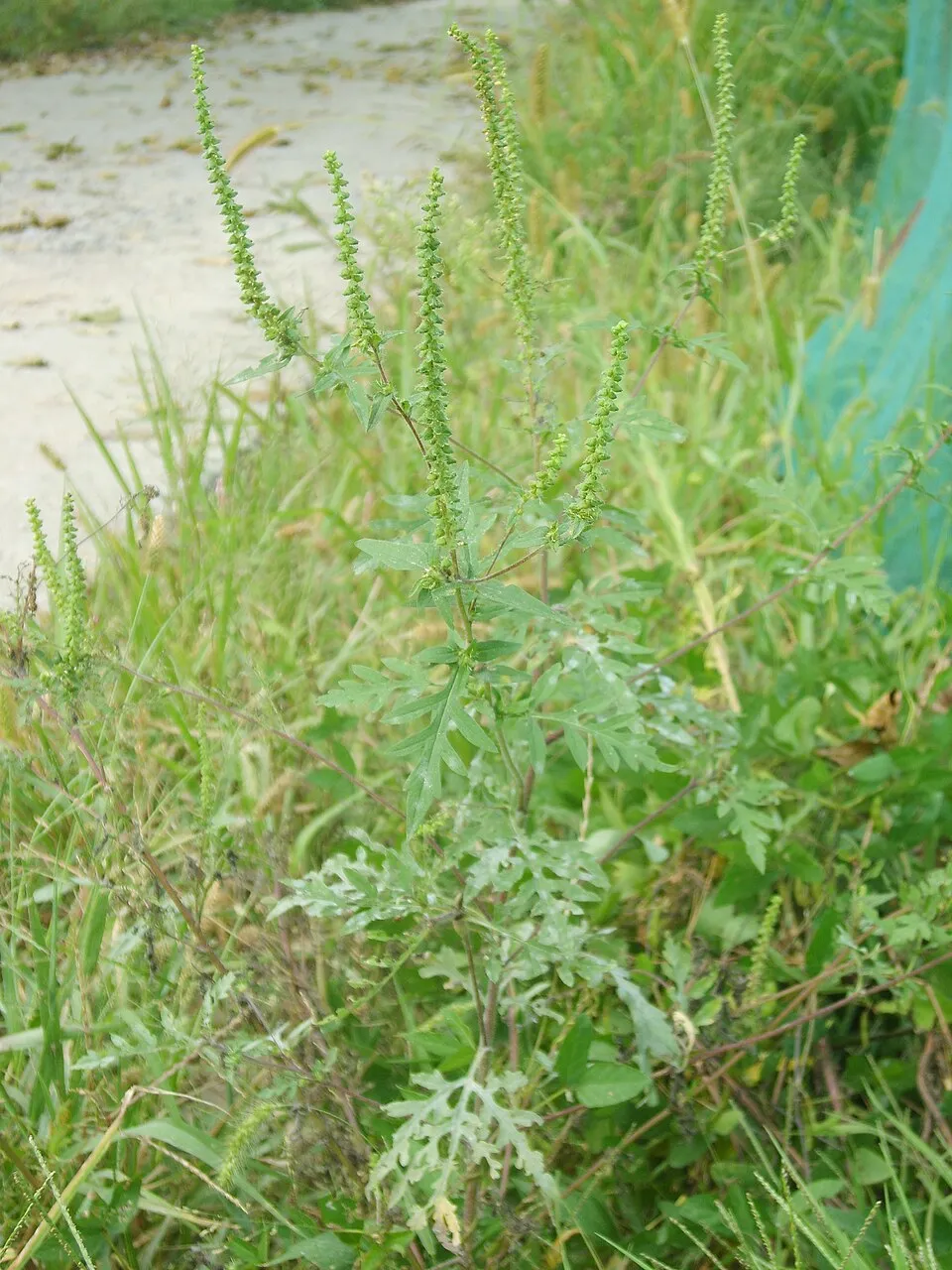 Annual ragweed
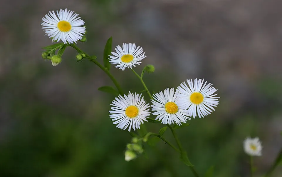 Eastern daisy fleabane
 Black locust