
Romania · Terrestrial
Cozia National Park
National park of 16,721 hectares in Romania, established in 2000.
Overview
National park of 16,721 hectares in Romania, established in 2000.
Cozia National Park is located in Romania (Europe). It is a predominantly terrestrial area. Established in 2000, it covers about 16,721 hectares.
Protections and designations
UNESCO World Heritage
Natura 2000 · habitats (SAC)
- Cozia ROSAC0046
Natura 2000 · birds (SPA)
- Cozia - Buila - Vânturarița ROSPA0025
Protected as a national park. International labels and designations: UNESCO World Heritage (“Ancient and Primeval Beech Forests of the Carpathians and Other Regions of Europe”) and Natura 2000 network (2 sites). Key dates: established in 2000, first Natura 2000 site under the Birds Directive in 2007 and World Heritage listing in 2017.
In our collections
Timeline
-
2000
Established
-
2007
First Natura 2000 site under the Birds Directive
-
2017
Inscribed as a UNESCO World Heritage Site Ancient and Primeval Beech Forests of the Carpathians and Other Regions of Europe
Sources: Wikidata (CC0) for establishment and international labels; EEA Natura 2000 database (CC-BY 4.0) for site designation dates.
Frequently asked questions
Where is Cozia National Park?
In Romania (Europe). Representative point: 45.3670° N, 24.2650° E.
How large is Cozia National Park?
About 16,721 hectares (167 km²). It is the 8th largest of the 11 national parks in Romania covered by Parkavela.
When was Cozia National Park established?
In 2000.
What habitats and landscapes does Cozia National Park include?
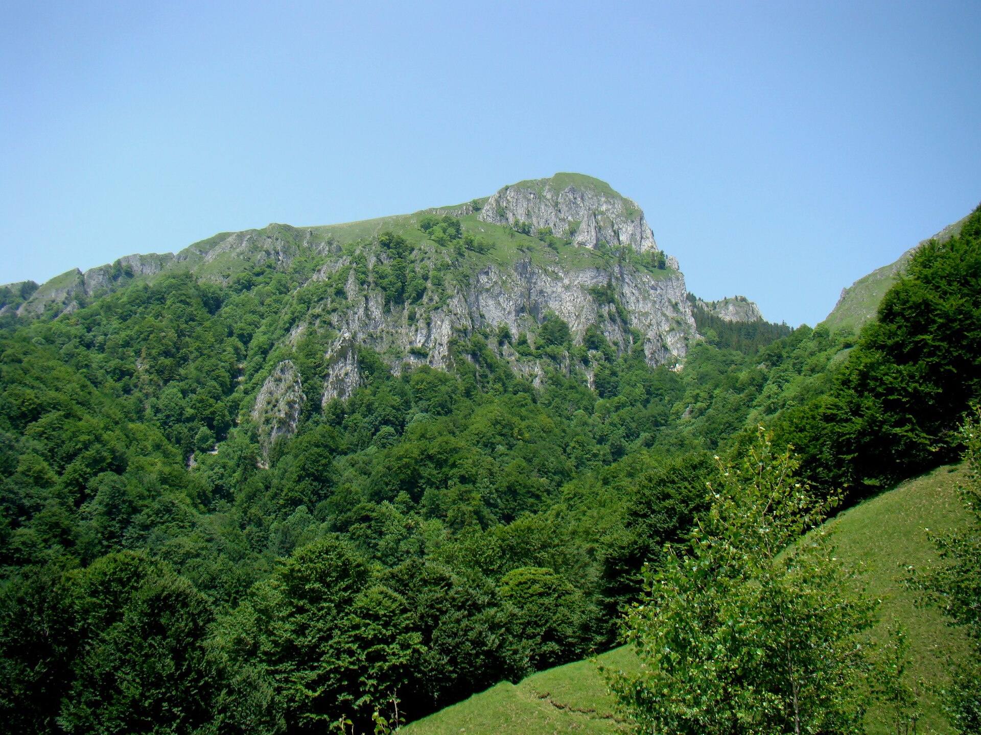
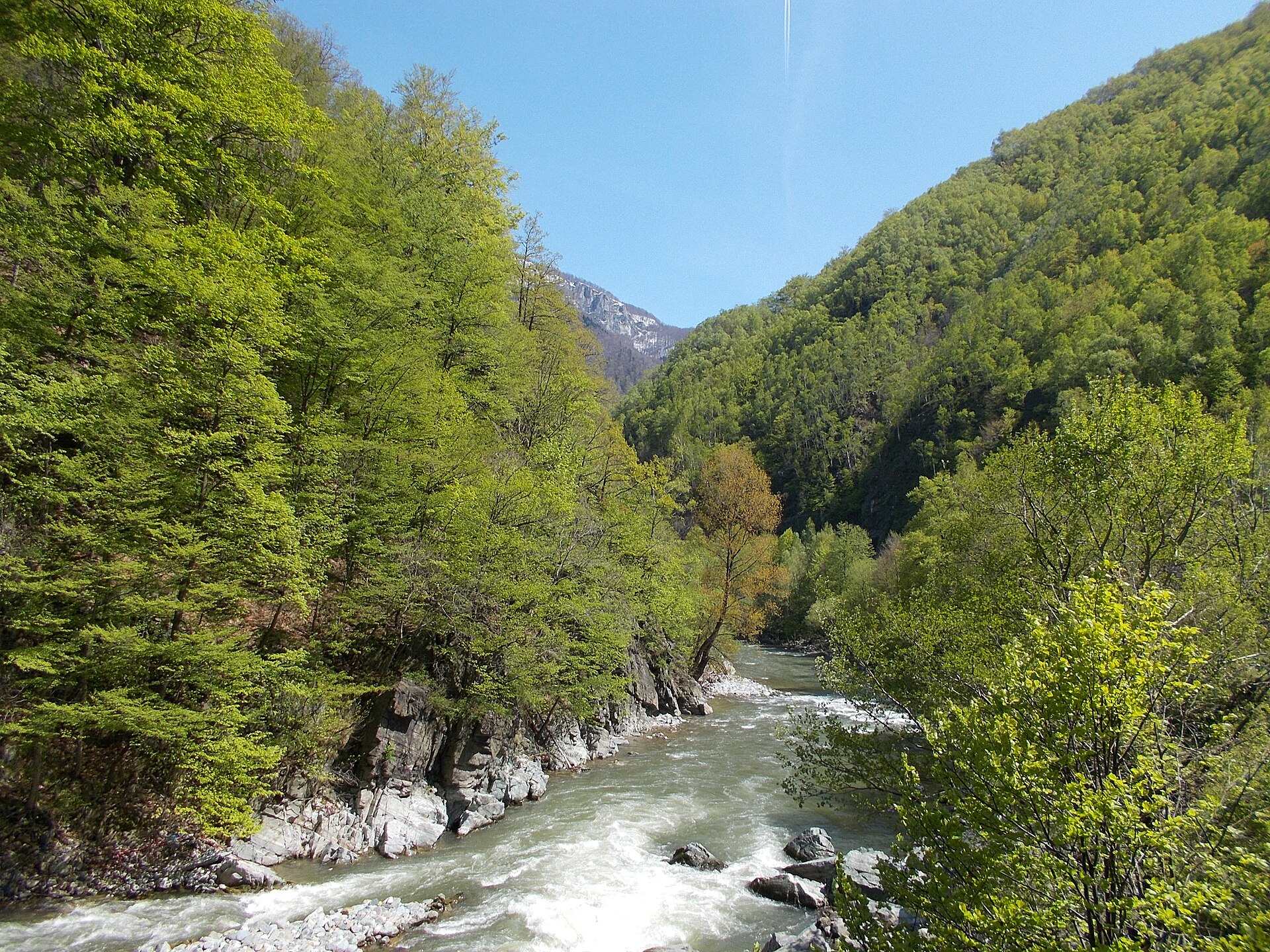
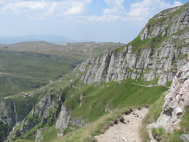
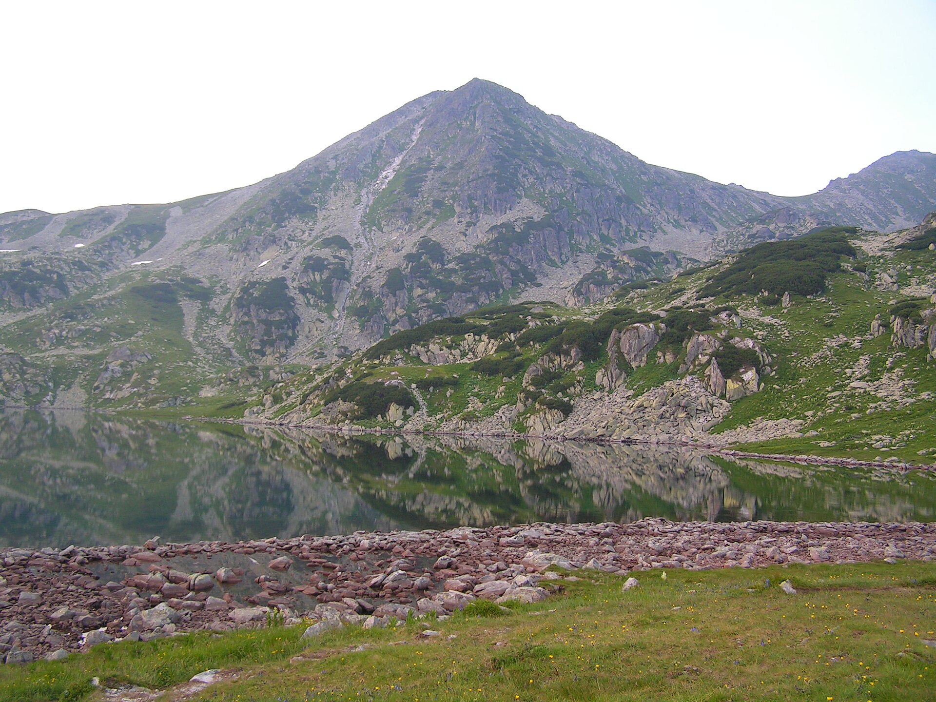
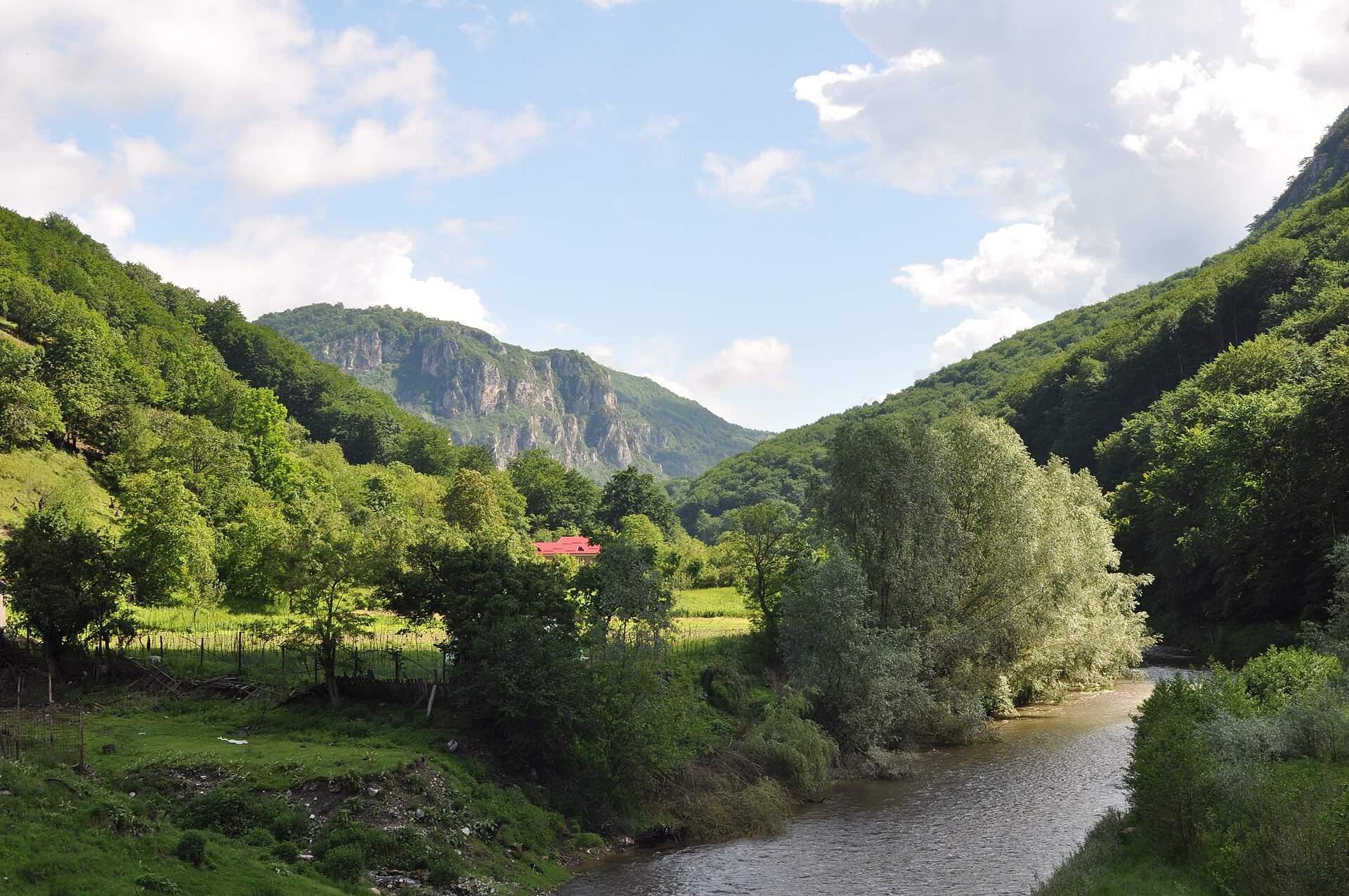
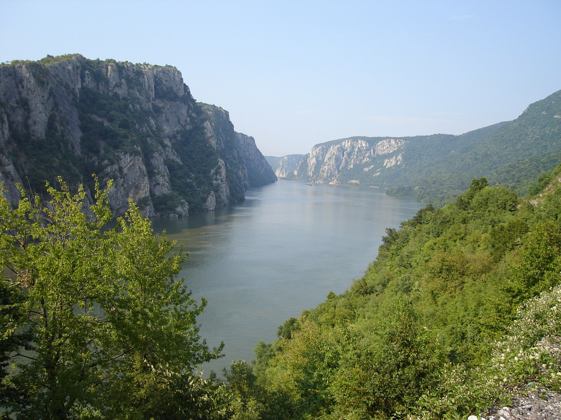
A terrestrial area, with forests and mountains.
What is the highest point of Cozia National Park?
Ciuha Mare, at 1,668 m (OpenStreetMap).
What are the main summits of Cozia National Park?
Ciuha Mare (1,668 m), Ciuha Mica (1,629 m), Durduc (1,568 m), Omul (1,565 m) and Bulzu (1,560 m) (OpenStreetMap).
Which international labels apply to Cozia National Park?
UNESCO World Heritage (“Ancient and Primeval Beech Forests of the Carpathians and Other Regions of Europe”) and Natura 2000 network (2 sites).
When is the best time to visit Cozia National Park?
Mildest period: from June to August, with average temperatures of 17 to 20 °C.
Is there snow in Cozia National Park?
Yes. According to NASA's MODIS satellites (2015–2025 average), snow covers the site about 30 days a year, mostly from December to February.
Are there historic monuments in Cozia National Park?
Yes. According to Wikidata, 4 monuments listed in the Romanian List of Historic Monuments stand within the boundary, 1 of them of national and universal value (group A). For example: “Turnu Monastery”.
What is the nearest large city to Cozia National Park?
Nearest towns of over 50,000 people, as the crow flies: Râmnicu Vâlcea (18 km) and Sibiu (45 km). Nearest airport: Sibiu (SBZ), about 45 km away.
How can I reach Cozia National Park by train?
Mănăstirea Turnu railway station lies within the site.
Where can I get visitor information on site?
Centrul de Informare și Promovare Turistică Perișani and Centru de informare turistica.
Are there waymarked hiking trails in Cozia National Park?
Yes. Waymarked hiking routes listed in OpenStreetMap: 13. The “gara CFR Mănăstirea Turnu - Cabana Cozia - sat Pripoare (C.N.I.M.T.)” route runs for about 17 km through the site, with some 1,430 m of ascent on its longest section.
Which species can be seen in Cozia National Park?
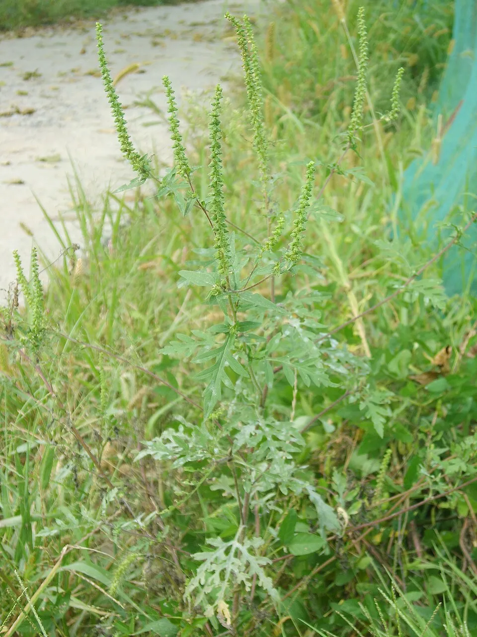
Among the species most often recorded on GBIF are Fringilla coelebs (Eurasian Chaffinch), Claremontia tenuicornis (Slender-horned Claremont), Ambrosia artemisiifolia (Annual ragweed) and Robinia pseudoacacia (Black locust).
What is the official website of Cozia National Park?
© OpenStreetMap
Download the boundary: GeoJSON · GPX Boundary © OpenStreetMap contributors (ODbL).
Geography
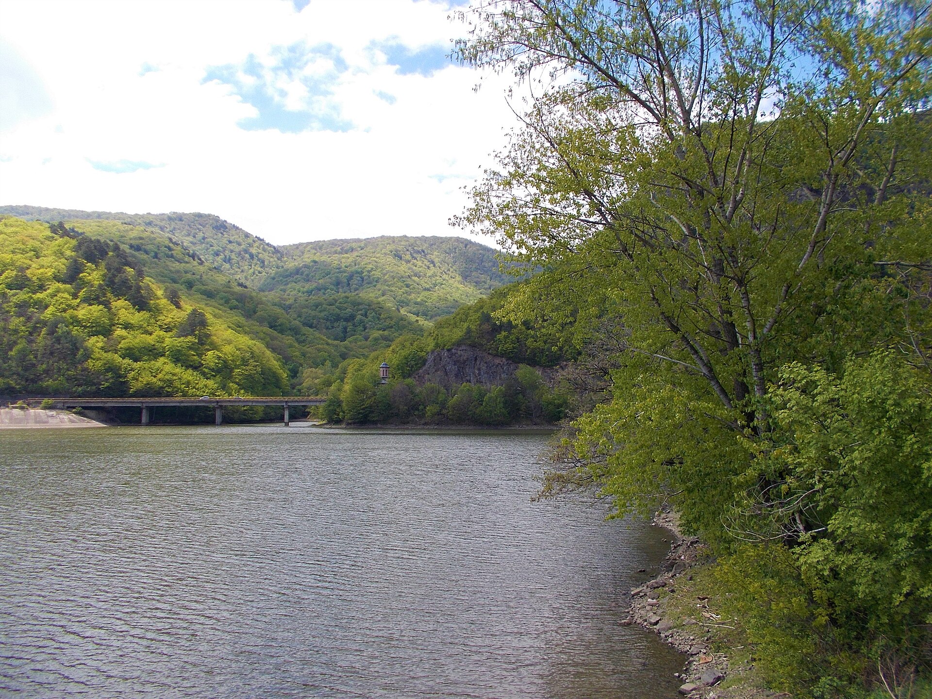
The representative point of the site lies at around 604 m above sea level. Over the 1996–2025 period, the mean annual temperature is about 9.0 °C and total precipitation reaches roughly 1,070 mm per year. The warmest month is usually July, the coolest January, and the wettest July. The site contains 2 lakes larger than 10 ha, totalling 1.4 km² of water (HydroLAKES).
Area
- Area
- 16,721 ha
- Elevation
- 604 m
- Median elevation
- 708 m
- Mean slope
- 22°
- Snow cover
- ≈ 30 days a year
- Lakes over 10 ha
- 2 (1.4 km²)
- Coordinates
- 45.367, 24.265
Terrain: Mapzen Terrain Tiles (SRTM, USGS) · Lakes: HydroLAKES (Messager et al. 2016, hydrosheds.org, CC BY 4.0) · depths: Wikidata (CC0)
Elevation bands
- below 500 m 23%
- 500–1,000 m 55%
- 1,000–1,500 m 21%
- 1,500–2,000 m 1%
share of the site in each elevation band (smoothed terrain model: summits are rounded off) · Terrain: Mapzen Terrain Tiles (SRTM, USGS)
Main summits
- Ciuha Mare1,668 m
- Ciuha Mica1,629 m
- Durduc1,568 m
- Omul1,565 m
- Bulzu1,560 m
- Cârligele (Narățu)1,509 m
- Vultureasa1,449 m
- Olăneștilor1,415 m
- Sturii lui Pavel1,380 m
- Mesteacănul1,256 m
Data © OpenStreetMap contributors (ODbL)
Climate
● Mean temperature (°C) · ▮ Precipitation (mm)
Source: Copernicus ERA5-Land (C3S, doi:10.24381/cds.68d2bb30), monthly averages 1996–2025 interpolated to the representative point, temperatures adjusted for elevation.
Contains modified Copernicus Climate Change Service information 2026. Neither the European Commission nor ECMWF is responsible for any use that may be made of the Copernicus information or data it contains.
Snow cover measured by satellite
J
F
M
A
M
J
J
A
S
O
N
D
average share of the site under snow · snowiest parts · ≈ 30 days a year
Snow cover: MODIS/Terra MOD10CM v61 (Hall & Riggs, 2021, NASA NSIDC DAAC, doi:10.5067/MODIS/MOD10CM.061), imagery from NASA GIBS (ESDIS); 2015–2025 average, grid of about 5 km.
Natural habitats
According to CORINE Land Cover (2018), the site is mainly made up of forests (90%). Woodland is mostly broadleaved. Elevation ranges from about 300 m to 1,668 m (highest point: Ciuha Mare). Median elevation is 708 m, and 22% of the site lies above 1,000 m (SRTM elevation model). The terrain is steep: 21% of slopes exceed 30° (mean slope 22°). The 2 Natura 2000 sites overlapping the area list 20 habitats of European interest (5 priority), the most extensive being Tilio-Acerion forests of slopes, screes and ravines, Asperulo-Fagetum beech forests and Dacian Beech forests (Symphyto-Fagion).
Biodiversity
Based on occurrences aggregated by GBIF, several species are regularly recorded within the site. Among the most frequent are Fringilla coelebs (Eurasian Chaffinch), Claremontia tenuicornis (Slender-horned Claremont), Ambrosia artemisiifolia (Annual ragweed) and Robinia pseudoacacia (Black locust). The full list of documented taxa is shown below. The overlapping Natura 2000 sites list 99 species of European interest: 72 birds, 10 mammals, 2 amphibians, 4 fish, 7 invertebrates and 4 plants.
Habitats of European interest
From the official forms of the 2 Natura 2000 sites overlapping the area (areas reported for each whole site).
- Tilio-Acerion forests of slopes, screes and ravines priority 4,325 ha
- Asperulo-Fagetum beech forests 3,578 ha
- Dacian Beech forests (Symphyto-Fagion) 2,326 ha
- Galio-Carpinetum oak-hornbeam forests 1,148 ha
- Luzulo-Fagetum beech forests 1,077 ha
- Alluvial forests with Alnus glutinosa and Fraxinus excelsior (Alno-Padion, Alnion incanae, Salicion albae) priority 1,069 ha
- Acidophilous Picea forests of the montane to alpine levels (Vaccinio-Piceetea) 850 ha
- Hydrophilous tall herb fringe communities of plains and of the montane to alpine levels 523 ha
and 12 more
Species of European interest
Birds · 72
Common Sandpiper (Actitis hypoleucos) breeding, Boreal Owl (Aegolius funereus) resident, Common Kingfisher (Alcedo atthis) breeding, Meadow Pipit (Anthus pratensis) passage, Tree Pipit (Anthus trivialis) breeding, Common Swift (Apus apus) breeding, Golden Eagle (Aquila chrysaetos) resident, Lesser spotted eagle (Aquila pomarina) breeding, Long-eared Owl (Asio otus) resident, Hazel Grouse (Bonasa bonasia) resident, Eurasian Eagle-owl (Bubo bubo) resident, Common Buzzard (Buteo buteo) resident and 60 more
Mammals · 10
Barbastelle (Barbastella barbastellus), Grey wolf (Canis lupus), Eurasian Beaver (Castor fiber), Eurasian otter (Lutra lutra), Eurasian Lynx (Lynx lynx), Common bent-wing bat (Miniopterus schreibersii), Greater mouse-eared bat (Myotis myotis), Mediterranean Horseshoe Bat (Rhinolophus euryale), Greater Horseshoe Bat (Rhinolophus ferrumequinum), Brown bear (Ursus arctos)
Fish · 4
Romanian barbel (Barbus petenyi), European bullhead (Cottus gobio), Weatherfish (Misgurnus fossilis), Balkan Golden Loach (Sabanejewia balcanica)
Invertebrates · 7
Carabus variolosus, Greater Capricorn Beetle (Cerambyx cerdo), Cozia Plump Bush-cricket (Isophya harzi), Stag beetle (Lucanus cervus), Morimus asper funereus, Transylvanian Dark Bush-cricket (Pholidoptera transsylvanica), Rosalia longicorn (Rosalia alpina)
Plants · 4
Campanula serrata, Iris aphylla subsp. hungarica, Ligularia sibirica, Carpathian Tozzia (Tozzia carpathica)
Source: Natura 2000 standard data forms (EEA, CC-BY 4.0). Not exhaustive: sensitive species are not published.
Species to look out for

Plant
Black locust
Robinia pseudoacacia

Plant
Canada Horseweed
Erigeron canadensis8 records © Andrey Zharkikh from Salt Lake City, USA · CC BY 2.0
Observed species
Occurrences documented via GBIF; they are neither an exhaustive inventory nor proof of current presence.
- Eurasian Chaffinch · Fringilla coelebs · 17
- Slender-horned Claremont · Claremontia tenuicornis · 10
- Annual ragweed · Ambrosia artemisiifolia · 10
- Black locust · Robinia pseudoacacia · 9
- Common Blackbird · Turdus merula · 8
- Canada Horseweed · Erigeron canadensis · 8
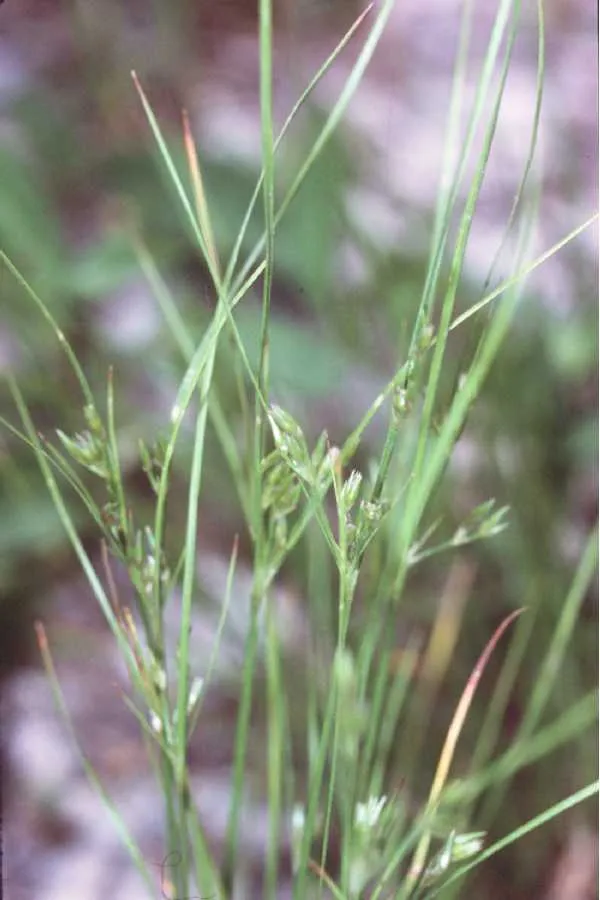
- Slender rush · Juncus tenuis · 7
- Red-backed Shrike · Lanius collurio · 7
- Oak Lace Bug · Corythucha arcuata · 6
- Persian walnut erineum mite · Aceria erinea · 6
- Northern Raven · Corvus corax · 6
- Tree-of-heaven · Ailanthus altissima · 6
+18 more species
- Eurasian Jay · Garrulus glandarius · 6
- White Wagtail · Motacilla alba · 6
- Mallard · Anas platyrhynchos · 6
- Great Cormorant · Phalacrocorax carbo · 5
- Coal tit · Periparus ater · 5
- Eastern daisy fleabane · Erigeron annuus · 5
- Common Evening-primrose · Oenothera biennis · 5
- Song Thrush · Turdus philomelos · 5
- Great tit · Parus major · 5
- Grey Heron · Ardea cinerea · 5
- Bog bush-cricket · Metrioptera brachyptera · 4
- Eastern Saw Bush-cricket · Barbitistes constrictus · 4
- Scarce copper · Lycaena virgaureae · 4
- Large Walnut Aphid · Panaphis juglandis · 4
- Black Woodpecker · Dryocopus martius · 4
- Eurasian Nuthatch · Sitta europaea · 4
- European robin · Erithacus rubecula · 4
- Sand Rock-cress · Arabidopsis arenosa · 4
Records: GBIF.org (CC-BY). Names: Wikidata (CC0), GBIF. Photos: Wikimedia Commons.
Conservation challenges
The primary purpose of the site is to preserve its natural habitats and the biodiversity they support. The species recorded (Biodiversity tab) reflect its ecological value. The designations it holds frame its management and the control of land use.
According to Global Forest Change data (University of Maryland, Global Forest Watch), about 181 ha of tree cover were lost within the boundary between 2001 and 2023 (1% of its area), peaking in 2014 and 2016. These losses include logging, storms and fires, and do not account for regrowth. Apart from forest felling and regrowth (about 1,460 ha in total), land cover remained almost unchanged between 1990 and 2018 according to CORINE Land Cover. Since 2016, the European EFFIS system (Copernicus) has mapped one fire here, in April 2019 (near Oraş Brezoi), which burned about 59 ha of the site. At night, the area gives off virtually no artificial light detectable from space (NASA VIIRS Black Marble composite, 2016). Built-up and developed land (buildings, business areas, roads, quarries) covers 2% of the area (CORINE Land Cover). According to the Natura 2000 forms, of 20 assessed habitats of European interest, 3 are in excellent condition and 1 in average or reduced condition. According to the Water Framework Directive assessment (2022 river basin management plans, data 2018–2020), 84% of the 57 km of rivers assessed within the site are in good or high ecological status. Other assessed water bodies: lakes, 0 of 1 in good ecological status or better. Since 2000, 14 invasive alien species have been recorded within the site (GBIF observations), 2 of them listed as of Union concern under EU Regulation 1143/2014. Among them: Ailanthus altissima (Tree-of-heaven), Impatiens glandulifera (Himalayan Balsam) and Ambrosia artemisiifolia (Annual ragweed).
Pressure indicators
Tree cover lost
181 ha
2001–2023 · 1% of the area
20012023
Fires since 2016
59 ha
burned within the boundary (1 mapped fire)
- 2019 · Oraş Brezoi · 59 ha
Light at night
< 1%
of the area gives off artificial light visible from space
DarkLit
Built-up land
2%
buildings, business areas, roads, quarries · farmland 3%
Land cover change
< 0.5%
of the area changed, 1990–2018 · CORINE
forest felling and regrowth: 1,460 ha in total
Rivers and lakes
84%
of the 57 km of assessed rivers in good or high ecological status · WFD 2022
Lakes: 0 of 1 good or better
assessments 2018–2020
Invasive alien species
14
incl. 2 of EU concern · since 2000
 Tree-of-heavenEU
 Himalayan BalsamEU
Annual ragweed
Black locust
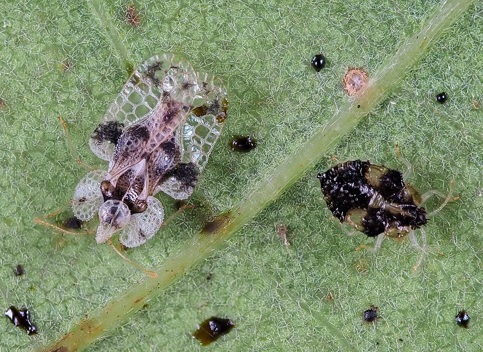 Oak Lace Bug
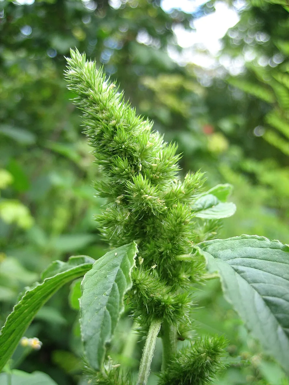 Common Amaranth
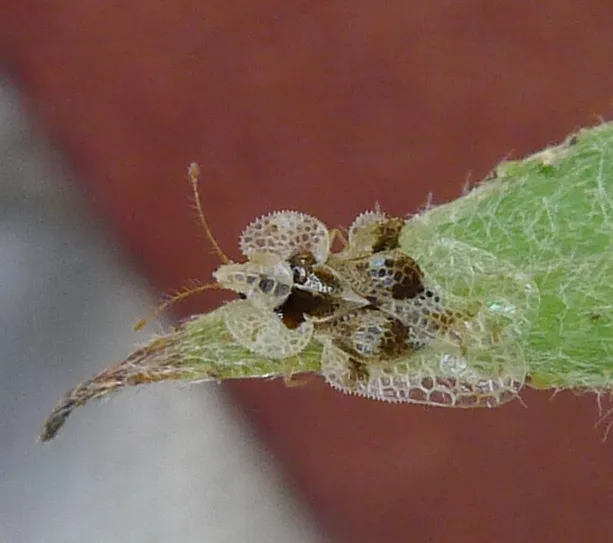 Sycamore Lace Bug
Canada Horseweed
Photos: Tree-of-heaven © Darkone · CC BY-SA 2.5; Himalayan Balsam © Guptaele · CC BY-SA 4.0; Annual ragweed © Dalgial · CC BY-SA 3.0; Black locust © This Photo was taken by Wolfgang Moroder. Feel free to use my photos, but please mention me as the author and send me a message. This image is not in the public domain. Please respect the copyright protection. It may only be used according… · CC BY-SA 3.0; Oak Lace Bug © gillessanmartin · CC BY-SA 4.0; Common Amaranth © Lynk media · CC BY-SA 3.0; Sycamore Lace Bug © Norbert Marwan · CC BY-SA 4.0; Canada Horseweed © Andrey Zharkikh from Salt Lake City, USA · CC BY 2.0
Sources: Global Forest Change (Hansen et al., University of Maryland, via Global Forest Watch, CC-BY 4.0); EFFIS, European Commission / Copernicus; NASA Black Marble 2016 (public domain); CORINE Land Cover 2018 (Copernicus) or MODIS.
CORINE Land Cover Change 1990–2018: generated using European Union's Copernicus Land Monitoring Service information (EEA), aggregated by Parkavela; DOI 10.2909/f30f1000-7cf8-43bb-872c-5eb093911b24.
Ecological status of water bodies: European Environment Agency, WISE – Water Framework Directive, 3rd river basin management plans (2022), CC BY 4.0. Official national classification, not comparable between countries.
Invasive alien species: Global Register of Introduced and Invasive Species (ISSG, CC BY 4.0); Union list, Regulation (EU) 1143/2014 (INBO, CC0); GBIF.org records (CC0 / CC BY 4.0), at least 2 per species.
Practical information
Cities and airport
- Râmnicu Vâlcea
18 km as the crow flies - Sibiu
45 km as the crow flies - Airport: Sibiu (SBZ)
45 km as the crow flies
Visitor information
- Centrul de Informare și Promovare Turistică Perișani
< 1 km from the site boundary - Centru de informare turistica
< 1 km from the site boundary
Parking
28 public car parks listed within the site
Parcare Mănăstirea Turnu
Hiking
13 waymarked routes listed
Data © OpenStreetMap contributors (ODbL) · Wikidata (CC0)
Waymarked hiking routes
gara CFR Mănăstirea Turnu - Cabana Cozia - sat Pripoare (C.N.I.M.T.)
16.7 km within the site ↗ 1,434 m↘ 1,133 m 312–1,583 m
gara CFR Călimănești - Plaiul Sitarului - Cabana Cozia
4.6 km within the site ↗ 650 m↘ 44 m 969–1,602 m
sat Căciulata (C.N.I.P.T.) - Mănăstirea Stânișoara - Cabana Cozia
9.8 km within the site ↗ 509 m↘ 115 m 609–1,023 m
gara CFR Lotru - Muchia Urzica - Cabana Cozia
8.9 km within the site ↗ 1,295 m↘ 33 m 303–1,583 m
sat Căciulata (C.N.I.P.T.) - valea Păușa - Mănăstirea Stânișoara
5.3 km within the site ↗ 8 m↘ 351 m 383–738 m
gara CFR Mănăstirea Turnu - Refugiul Turneanu - Cabana Cozia
5.9 km within the site ↗ 1,263 m↘ 15 m 318–1,591 m
Tracks © OpenStreetMap contributors (ODbL), clipped to the boundary; elevation gain and profiles computed on the longest section from Mapzen Terrain Tiles (≈ 30 m), indicative only.
Access and visiting
Mănăstirea Turnu railway station lies within the site. Nearest towns of over 50,000 people, as the crow flies: Râmnicu Vâlcea (18 km) and Sibiu (45 km). Nearest airport: Sibiu (SBZ), about 45 km away. About 150,000 people live within 20 km of the site boundary, 30,000 of them within 10 km; some 5,700 people are estimated to live inside (GHSL estimate, 2020). This population has fallen by about 17% since 2000. Visitor information on site: Centrul de Informare și Promovare Turistică Perișani and Centru de informare turistica. Public car parks listed within the site: 28, including Parcare Mănăstirea Turnu. Waymarked hiking routes listed in OpenStreetMap: 13. To plan a visit (access, opening periods, visitor rules), it is best to consult the official information from the managing body and the official website listed in this page's sources.
Source: OpenStreetMap (ODbL), Wikidata (CC0), October 2026.
Built heritage
According to Wikidata, 4 monuments listed in the Romanian List of Historic Monuments stand within the boundary, 1 of them of national and universal value (group A). Nationally designated items include “Turnu Monastery”.
2 religious buildings1 house or civic building1 bridge, lighthouse, mill or working building
-
Turnu Monastery
National
-
Biserica „Toți Sfinții”
Brezoi -
Gara Lotru
Brezoi -
Podul de cale ferată de peste Olt (Proieni–Brezoi)
Brezoi
Source: Wikidata (CC0), monuments in each country’s official heritage protection registers, at national or regional level. Each item links to its Wikidata entry.
When to visit
Mildest period: from June to August, with average temperatures of 17 to 20 °C. Average temperatures drop below 0 °C from December to February: frost is common. Precipitation peaks from May to July (up to 140 mm per month). These averages apply to the site's representative point (604 m); higher up it is markedly cooler and snow lasts longer. According to NASA's MODIS satellites (2015–2025 average), snow covers the site about 30 days a year, mostly from December to February. Day length ranges from about 8 h 44 min in December to 15 h 39 min in June. Wildlife records published on GBIF peak for birds (June) and plants (from May to July). These peaks also reflect when observers are most active.
Source: Copernicus ERA5-Land (C3S), monthly averages 1996–2025 at the representative point, temperatures adjusted for elevation.
Contains modified Copernicus Climate Change Service information 2026. Neither the European Commission nor ECMWF is responsible for any use that may be made of the Copernicus information or data it contains.
Wildlife records calendar
JFMAMJJASOND
Birds
Plants
Monthly records published on GBIF (CC-BY), relative to the busiest month; also reflects observer activity.
Gallery
© Nicu Farcaș · CC BY-SA 4.0
© Petr Štefek · CC BY-SA 3.0
© Petr Vodička · CC BY-SA 4.0
© Leontin l · CC BY-SA 4.0
© Claudiupt · CC0-1.0
© Claudiupt · CC0-1.0
Sources and licences
- Wikidata: Q3077873
- Official website: http://www.cozia.ro
- Wikipedia: en.wikipedia.org/wiki/Cozia_National_Park
- WDPA: 11174
References
- cds.climate.copernicus.eu: climate · CC-BY-4.0
- registry.opendata.aws: elevation of the reference point, detailed relief · PD
- land.copernicus.eu: land cover, land cover change, sea share · COPERNICUS
- doi.org: population around the site · CC-BY-4.0
- wikidata.org: official area, establishment date, protected heritage, nearby cities and airport, access and peaks, lake depths, places to see, official website · CC0-1.0
- eea.europa.eu: bathing water quality, ecological status of waters · CC-BY-4.0
- en.eurovelo.com: EuroVelo cycle routes · ODbL-1.0
- cycling.waymarkedtrails.org: cycle routes · ODbL-1.0
- opentopodata.org: elevations · PD
- forest-fire.emergency.copernicus.eu: wildfires · COPERNICUS
- globalforestwatch.org: tree cover loss · CC-BY-4.0
- gbif.org: seasonality of sightings, invasive alien species, observed species · CC-BY-4.0
- hydrosheds.org: lakes · CC-BY-4.0
- natura2000.eea.europa.eu: Natura 2000 habitats and species · CC-BY-4.0
- openstreetmap.org: official name, access and peaks, trail difficulty · ODbL-1.0
- earthobservatory.nasa.gov: night light · PD
- hiking.waymarkedtrails.org: route difficulty · ODbL-1.0
- nsidc.org: snow cover · PD
- wikidata.org: Wikipedia article · CC-BY-SA-4.0
Data © OpenStreetMap contributors (ODbL), Wikidata (CC0) and the sources cited.