Italy · Terrestrial
Conero Regional Park
Regional nature park of 6,011 hectares in Italy, established in 1987.
Overview
Regional nature park of 6,011 hectares in Italy, established in 1987.
Conero Regional Park is a regional nature park in Italy (Europe). It is a predominantly terrestrial area. Established in 1987, it covers about 6,011 hectares.
Protections and designations
Natura 2000 · habitats (SAC) · 3 sites
- Costa tra Ancona e Portonovo IT5320005
- Monte Conero IT5320007
- Portonovo e falesia calcarea a mare IT5320006
Natura 2000 · birds (SPA)
- Monte Conero IT5320015
Protected as a regional nature park. International labels and designations: Natura 2000 network (4 sites). Key dates: established in 1987 and first Natura 2000 site under the Birds Directive in 2003.
In our collections
Timeline
-
1987
Established
-
2003
First Natura 2000 site under the Birds Directive
Sources: Wikidata (CC0) for establishment and international labels; EEA Natura 2000 database (CC-BY 4.0) for site designation dates.
Frequently asked questions
Where is Conero Regional Park?
In Italy (Europe). Representative point: 43.5394° N, 13.5814° E.
How large is Conero Regional Park?
About 6,011 hectares (60 km²). It is the 70th largest of the 128 regional parks in Italy covered by Parkavela.
When was Conero Regional Park established?
In 1987.
What habitats and landscapes does Conero Regional Park include?
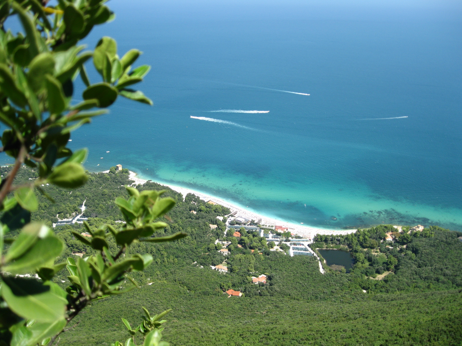
A terrestrial area, with coasts.
What rocks lie beneath Conero Regional Park?
According to the European 1:1 million geological map (EGDI), the bedrock consists mainly of limestones (54% of sampled points), carbonate rocks (23%) and unconsolidated deposits (15%). These are mostly sedimentary rocks. The geological units date mainly from the Cretaceous (54% of sampled points).
What is the highest point of Conero Regional Park?
Monte Conero, at 572 m (OpenStreetMap).
What are the main summits of Conero Regional Park?
Monte Conero (572 m), Monte Colombo (249 m), Monte Larciano (236 m) and Colle Altavilla (195 m) (OpenStreetMap).
Which international labels apply to Conero Regional Park?
Natura 2000 network (4 sites).
When is the best time to visit Conero Regional Park?
Best time to visit: from May to October, with average temperatures of 16 to 25 °C and moderate rainfall.
What is there to see in Conero Regional Park?
29 viewpoints, 6 caves and 1 bird hide, including Altopiano della Gradina, Buco del Diavolo, Belvedere Nord and Grotta Urbani (OpenStreetMap).
Where can I stay in Conero Regional Park?
9 campsites, including Area Sosta Camper Sirolo, Camping Club Internazionale and Camping Reno (OpenStreetMap).
Are there historic monuments in Conero Regional Park?
Yes. According to Wikidata, 21 monuments protected as Italian national cultural heritage stand within the boundary. For example: “Chiesa dei santi Filippo e Giacomo Apostoli” in Ancona, “Arco di Torre” in Numana and “Antiquarium Statale di Numana” in Numana.
Can you swim in Conero Regional Park?
32 monitored bathing sites lie in or within 1 km of the site; official 2025 classification: 29 excellent, 2 good and 1 poor (European Environment Agency). Swimming is only permitted at the sites and times authorised locally.
What is the nearest large city to Conero Regional Park?
Nearest towns of over 50,000 people, as the crow flies: Ancona (0.7 km) and Fano (47 km). Nearest airport: Ancona/Falconara (AOI), about 13 km away.
How can I reach Conero Regional Park by train?
The nearest railway station is Falconara Stadio, about 11 km from the site boundary.
Where can I get visitor information on site?
Ufficio Informazioni Turistiche di Sirolo, Infopoint and Ufficio informazioni turistiche.
Are there waymarked hiking trails in Conero Regional Park?
Yes. Waymarked hiking routes listed in OpenStreetMap: 32, including Italia Coast to Coast-Tappa and Cammino Porta d'Oriente. The “Cammino Porta d'Oriente - Prima tappa” route runs for about 11 km through the site, with some 410 m of ascent on its longest section.
Which species can be seen in Conero Regional Park?
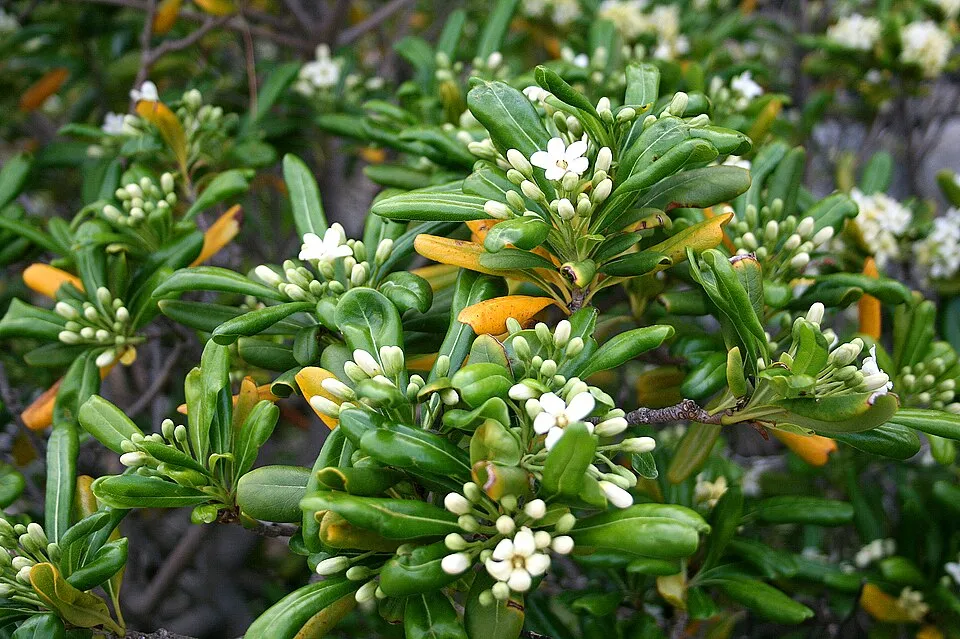
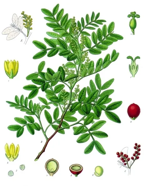
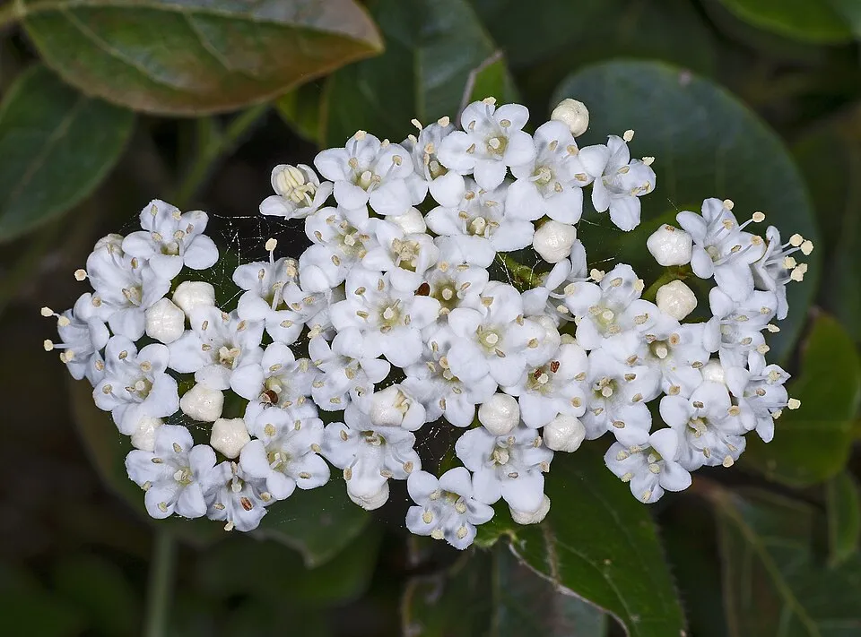
Among the species most often recorded on GBIF are Pittosporum tobira (Japanese cheesewood), Pistacia lentiscus (Mastic Tree), Viburnum tinus (Laurustinus) and Smilax aspera (Common smilax).
What is the official website of Conero Regional Park?
© OpenStreetMap
Download the boundary: GeoJSON · GPX Boundary © OpenStreetMap contributors (ODbL).
Geography
The representative point of the site lies at around 161 m above sea level. Over the 1996–2025 period, the mean annual temperature is about 15.0 °C and total precipitation reaches roughly 686 mm per year. The warmest month is usually July, the coolest January, and the wettest November. According to the European 1:1 million geological map (EGDI), the bedrock consists mainly of limestones (54% of sampled points), carbonate rocks (23%) and unconsolidated deposits (15%). These are mostly sedimentary rocks. The geological units date mainly from the Cretaceous (54% of sampled points).
Area
- Area
- 6,011 ha
- Elevation
- 161 m
- Median elevation
- 107 m
- Mean slope
- 10°
- Coordinates
- 43.5394, 13.5814
Terrain: Mapzen Terrain Tiles (SRTM, USGS)
Bedrock
- Limestones 54 %
- Carbonate rocks 23 %
- Unconsolidated deposits 15 %
- Marly limestones 8 %
Sedimentary rocks 100 % · Main age: Cretaceous (54%)
Source: EGDI 1:1M geological map (EuroGeoSurveys and national geological surveys), CC BY 4.0 · 13 sampled points within the site.
Main summits
- Monte Conero572 m
- Monte Colombo249 m
- Monte Larciano236 m
- Colle Altavilla195 m
Data © OpenStreetMap contributors (ODbL)
Climate
● Mean temperature (°C) · ▮ Precipitation (mm)
Source: Copernicus ERA5-Land (C3S, doi:10.24381/cds.68d2bb30), monthly averages 1996–2025 interpolated to the representative point, temperatures adjusted for elevation.
Contains modified Copernicus Climate Change Service information 2026. Neither the European Commission nor ECMWF is responsible for any use that may be made of the Copernicus information or data it contains.
Natural habitats
According to CORINE Land Cover (2018), the site is mainly made up of farmland (68%), forests (18%) and built-up or developed land (9%). The site borders the coast. Elevation ranges from sea level to 572 m (highest point: Monte Conero). The 4 Natura 2000 sites overlapping the area list 23 habitats of European interest (6 priority), the most extensive being Quercus ilex and Quercus rotundifolia forests, Mediterranean pine forests with endemic Mesogean pines and eastern white oak woods.
Biodiversity
Based on occurrences aggregated by GBIF, several species are regularly recorded within the site. Among the most frequent are Pittosporum tobira (Japanese cheesewood), Pistacia lentiscus (Mastic Tree), Viburnum tinus (Laurustinus) and Smilax aspera (Common smilax). The full list of documented taxa is shown below. The overlapping Natura 2000 sites list 49 species of European interest: 33 birds, 5 mammals, 5 reptiles, 3 amphibians and 3 invertebrates.
Habitats of European interest
From the official forms of the 4 Natura 2000 sites overlapping the area (areas reported for each whole site).
- Quercus ilex and Quercus rotundifolia forests 329 ha
- Mediterranean pine forests with endemic Mesogean pines 273 ha
- Eastern white oak woods priority 60 ha
- Thermo-Mediterranean and pre-desert scrub 41 ha
- Reefs 23 ha
- Salix alba and Populus alba galleries 22 ha
- Semi-natural dry grasslands and scrubland facies on calcareous substrates (Festuco-Brometalia) (* important orchid sites) 22 ha
- Annual vegetation of drift lines 19 ha
and 15 more
Species of European interest
Birds · 33
Eurasian Sparrowhawk (Accipiter nisus) passage wintering, Short-eared Owl (Asio flammeus) passage, Little Owl (Athene noctua) resident, Common Buzzard (Buteo buteo) passage wintering, European Nightjar (Caprimulgus europaeus) passage breeding, White stork (Ciconia ciconia) passage, Black Stork (Ciconia nigra) passage, Short-toed Snake Eagle (Circaetus gallicus) passage, Western Marsh Harrier (Circus aeruginosus) passage, Hen Harrier (Circus cyaneus) passage, Pallid Harrier (Circus macrourus) passage, Montagu's Harrier (Circus pygargus) passage and 21 more
Mammals · 5
Barbastelle (Barbastella barbastellus), Common bent-wing bat (Miniopterus schreibersii), Hazel dormouse (Muscardinus avellanarius), Greater Horseshoe Bat (Rhinolophus ferrumequinum), Lesser horseshoe bat (Rhinolophus hipposideros)
Reptiles · 5
Western Whip Snake (Hierophis viridiflavus), Western green lizard (Lacerta bilineata), Common wall lizard (Podarcis muralis), Italian wall lizard (Podarcis siculus), Aesculapian Snake (Zamenis longissimus)
Amphibians · 3
Italian Tree Frog (Hyla intermedia), Edible frog (Pelophylax esculentus), Italian crested newt (Triturus carnifex)
Invertebrates · 3
Greater Capricorn Beetle (Cerambyx cerdo), Southern damselfly (Coenagrion mercuriale), Stag beetle (Lucanus cervus)
Source: Natura 2000 standard data forms (EEA, CC-BY 4.0). Not exhaustive: sensitive species are not published.
Species to look out for
Plant
Mastic Tree
Pistacia lentiscus123 records © Franz Eugen Köhler, Köhler's Medizinal-Pflanzen · Public domain
Plant
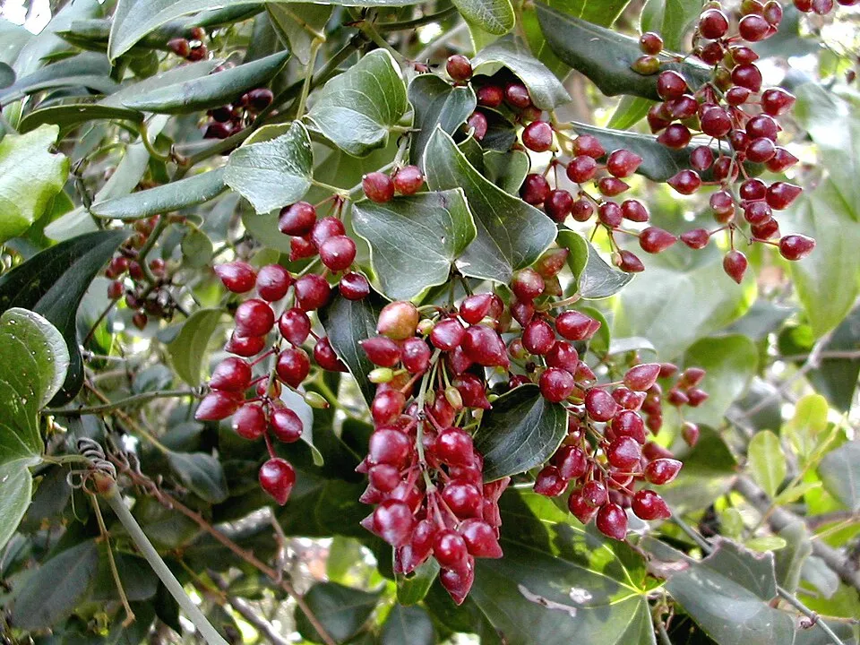
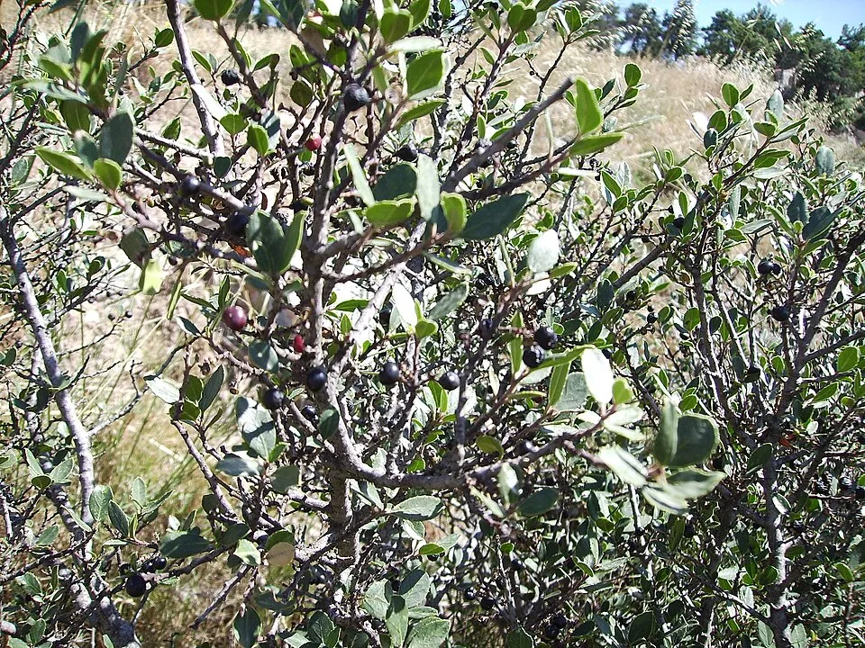
Mediterranean Buckthorn
Rhamnus alaternus80 records © Victor M. Vicente Selvas · Public domain
Observed species
Occurrences documented via GBIF; they are neither an exhaustive inventory nor proof of current presence.
- Japanese cheesewood · Pittosporum tobira · 149
- Mastic Tree · Pistacia lentiscus · 123
- Laurustinus · Viburnum tinus · 116
- Common smilax · Smilax aspera · 93
- Mediterranean Buckthorn · Rhamnus alaternus · 80
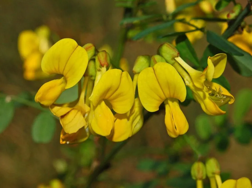
- Scorpion Senna · Hippocrepis emerus · 57
- Hooded Crow · Corvus cornix · 56
- Holm Oak · Quercus ilex · 51
- Poet's Cassia · Osyris alba · 51
- Strawberry-tree · Arbutus unedo · 42
- Paper mulberry · Broussonetia papyrifera · 42
- Great tit · Parus major · 42
+18 more species
- Yellow-legged Gull · Larus michahellis · 41
- Eurasian blue tit · Cyanistes caeruleus · 40
- Eurasian Blackcap · Sylvia atricapilla · 38
- Sardinian Warbler · Curruca melanocephala · 38
- Barn Swallow · Hirundo rustica · 37
- Common Wood Pigeon · Columba palumbus · 36
- Butcher's-broom · Ruscus aculeatus · 36
- Common Blackbird · Turdus merula · 35
- European robin · Erithacus rubecula · 35
- Eurasian Magpie · Pica pica · 32
- Common Buzzard · Buteo buteo · 30
- Peregrine Falcon · Falco peregrinus · 30
- Oleander · Nerium oleander · 30
- Common House Martin · Delichon urbicum · 28
- Western Marsh Harrier · Circus aeruginosus · 27
- Eurasian Chaffinch · Fringilla coelebs · 27
- Jeruselem thorn · Paliurus spina-christi · 27
- Western Jackdaw · Coloeus monedula · 26
Records: GBIF.org (CC-BY). Names: Wikidata (CC0), GBIF. Photos: Wikimedia Commons.
Conservation challenges
The primary purpose of the site is to preserve its natural habitats and the biodiversity they support. The species recorded (Biodiversity tab) reflect its ecological value. The designations it holds frame its management and the control of land use.
According to CORINE Land Cover, land cover here remained almost unchanged between 1990 and 2018 (less than 0.5% of the area affected); only some 14 ha were built over. At night, 96% of the area gives off artificial light detectable from space (NASA VIIRS Black Marble composite, 2016). Built-up and developed land (buildings, business areas, roads, quarries) covers 9% of the area, and farmland 68% (CORINE Land Cover). According to the Natura 2000 forms, of 23 assessed habitats of European interest, 6 are in excellent condition and 4 in average or reduced condition. According to the Water Framework Directive assessment (2022 river basin management plans, data 2015–2020), water bodies assessed within the site: coastal waters, 2 of 2 in good ecological status or better. Since 2000, 13 invasive alien species have been recorded within the site (GBIF observations), 3 of them listed as of Union concern under EU Regulation 1143/2014. Among them: Broussonetia papyrifera (Paper mulberry), Ailanthus altissima (Tree-of-heaven) and Trachemys scripta (Pond slider).
Pressure indicators
Tree cover lost
9 ha
2001–2023 · < 1% of the area
20012023
Fires since 2016
0
No large fire mapped (fires over about 30 ha)
Light at night
96%
of the area gives off artificial light visible from space
DarkLit
Built-up land
9%
buildings, business areas, roads, quarries · farmland 68%
Land cover change
< 0.5%
of the area changed, 1990–2018 · CORINE
Rivers and lakes
Coastal waters: 2 of 2 good or better
assessments 2015–2020
Invasive alien species
13
incl. 3 of EU concern · since 2000
 Paper mulberryEU
 Tree-of-heavenEU
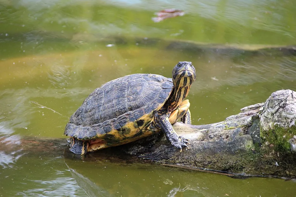 Pond sliderEU
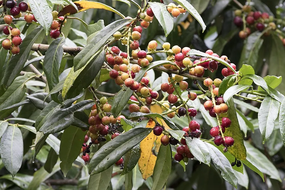 Cherry laurel
 Black locust
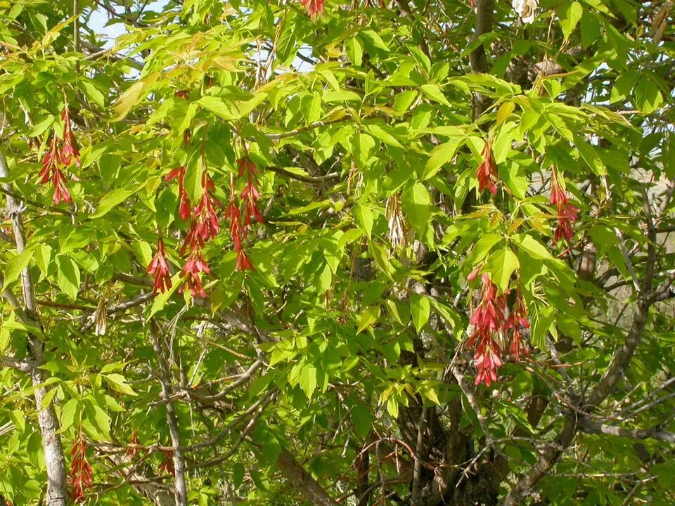 Ashleaf maple
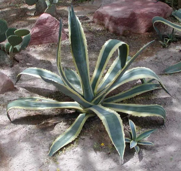 American century plant
 Chinese Mugwort
Photos: Paper mulberry © Didier Descouens · CC BY-SA 4.0; Tree-of-heaven © Darkone · CC BY-SA 2.5; Pond slider © Viva.Chelonia · CC BY 2.0; Cherry laurel © Zeynel Cebeci · CC BY-SA 4.0; Black locust © This Photo was taken by Wolfgang Moroder. Feel free to use my photos, but please mention me as the author and send me a message. This image is not in the public domain. Please respect the copyright protection. It may only be used according… · CC BY-SA 3.0; Ashleaf maple © Matt Lavin from Bozeman, Montana, USA · CC BY-SA 2.0; American century plant © Stan Shebs · CC BY-SA 3.0; Chinese Mugwort © Oceancetaceen - Alice Chodura · CC BY-SA 3.0
Sources: Global Forest Change (Hansen et al., University of Maryland, via Global Forest Watch, CC-BY 4.0); EFFIS, European Commission / Copernicus; NASA Black Marble 2016 (public domain); CORINE Land Cover 2018 (Copernicus) or MODIS.
CORINE Land Cover Change 1990–2018: generated using European Union's Copernicus Land Monitoring Service information (EEA), aggregated by Parkavela; DOI 10.2909/f30f1000-7cf8-43bb-872c-5eb093911b24.
Ecological status of water bodies: European Environment Agency, WISE – Water Framework Directive, 3rd river basin management plans (2022), CC BY 4.0. Official national classification, not comparable between countries.
Invasive alien species: Global Register of Introduced and Invasive Species (ISSG, CC BY 4.0); Union list, Regulation (EU) 1143/2014 (INBO, CC0); GBIF.org records (CC0 / CC BY 4.0), at least 2 per species.
Practical information
Cities and airport
- Ancona
< 1 km as the crow flies - Fano
47 km as the crow flies - Airport: Ancona/Falconara (AOI)
13 km as the crow flies
Visitor information
- Ufficio Informazioni Turistiche di Sirolo
within the site - Infopoint
within the site - Ufficio informazioni turistiche
within the site - Centro Visite Parco del Conero
within the site
Things to see
29 viewpoints · 6 caves · 1 bird hide
- Altopiano della Gradina
viewpoint - Buco del Diavolo
cave - Belvedere Nord
viewpoint - Grotta Urbani
cave - Belvedere Sud
viewpoint
Where to stay
9 campsites
- Area Sosta Camper Sirolo
campsite - Camping Club Internazionale
campsite - Camping Reno
campsite - Camping Riviera Village
campsite - Camping Village Conero Azzurro
campsite
Hiking
32 waymarked routes listed, including:
Italia Coast to Coast-TappaCammino Porta d'Oriente
By bike
BI-6 Ciclovia Adriatica · 2 km6 Biciclovia del Conero · 7 km
Signed cycle routes: this does not mean that cycling is allowed on footpaths.
Data © OpenStreetMap contributors (ODbL) · Wikidata (CC0)
Routes © OpenStreetMap contributors (ODbL), via Waymarked Trails
Waymarked hiking routes
Cammino Porta d'Oriente - Prima tappa
11.4 km within the site ↗ 413 m↘ 252 m 52–262 m
Cammino Porta d'Oriente - Seconda tappa
6.7 km within the site ↗ 61 m↘ 244 m 61–265 m
Tracks © OpenStreetMap contributors (ODbL), clipped to the boundary; elevation gain and profiles computed on the longest section from Mapzen Terrain Tiles (≈ 30 m), indicative only.
Bathing
32 monitored bathing sites in or within 1 km of the site · 2025 classification
Excellent · 29
Good · 2
Poor · 1
- 100 M Nord Punto 68 · sea · Excellent
- 350 M Sud Punto 67 · sea · Excellent
- 400 Metri Nord Punto 69 · sea · Excellent
- 500 M Sud Foce Fiume Musone · sea · Excellent
- A Nord del Camping · sea · Excellent
- Camping · sea · Excellent
- Due Sorelle · sea · Excellent
- Marcelli Centro · sea · Excellent
- Marcelli Nord · sea · Excellent
- Marcelli Sud · sea · Excellent
and 22 more
Source: European Environment Agency, official bathing water classification (Directive 2006/7/EC, CC-BY 4.0). Swimming is only permitted at the sites and times authorised locally.
Access and visiting
The nearest railway station is Falconara Stadio, about 11 km from the site boundary. Nearest towns of over 50,000 people, as the crow flies: Ancona (0.7 km) and Fano (47 km). Nearest airport: Ancona/Falconara (AOI), about 13 km away. About 360,000 people live within 20 km of the site boundary, 200,000 of them within 10 km; some 12,000 people are estimated to live inside (GHSL estimate, 2020). This population has grown by about 7% since 2000. Visitor information on site: Ufficio Informazioni Turistiche di Sirolo, Infopoint and Ufficio informazioni turistiche. Waymarked hiking routes listed in OpenStreetMap: 32, including Italia Coast to Coast-Tappa and Cammino Porta d'Oriente. The site is crossed by 2 signed cycle routes: “BI-6 Ciclovia Adriatica” and “6 Biciclovia del Conero” (OpenStreetMap). To see: 29 viewpoints, 6 caves and 1 bird hide, including Altopiano della Gradina, Buco del Diavolo, Belvedere Nord and Grotta Urbani. Where to stay: 9 campsites, including Area Sosta Camper Sirolo, Camping Club Internazionale and Camping Reno. To plan a visit (access, opening periods, visitor rules), it is best to consult the official information from the managing body and the official website listed in this page's sources.
Source: OpenStreetMap (ODbL), Wikidata (CC0), October 2026.
Built heritage
According to Wikidata, 21 monuments protected as Italian national cultural heritage stand within the boundary. Among them are 5 castles and fortifications, 5 religious buildings and 3 prehistoric and archaeological sites. Examples include “Chiesa dei santi Filippo e Giacomo Apostoli” in Ancona, “Arco di Torre” in Numana and “Antiquarium Statale di Numana” in Numana.
5 castles and fortifications5 religious buildings3 prehistoric and archaeological sites2 houses and civic buildings
-
Chiesa dei santi Filippo e Giacomo Apostoli
Ancona -
Arco di Torre
Numana -
Antiquarium Statale di Numana
Numana -
Town hall of Numana
Numana -
Edificio in viale Primo Maggio
Sirolo -
Chiesa di San Germano
Camerano -
Forte Altavilla di Ancona
Ancona · 19th c. -
Area archeologica I Pini
Sirolo
and 13 more
Source: Wikidata (CC0), monuments in each country’s official heritage protection registers, at national or regional level. Each item links to its Wikidata entry.
When to visit
Best time to visit: from May to October, with average temperatures of 16 to 25 °C and moderate rainfall. Day length ranges from about 8 h 57 min in December to 15 h 24 min in June. Wildlife records published on GBIF peak for birds (January), plants (from April to June) and butterflies and moths (from June to September). These peaks also reflect when observers are most active.
Source: Copernicus ERA5-Land (C3S), monthly averages 1996–2025 at the representative point, temperatures adjusted for elevation.
Contains modified Copernicus Climate Change Service information 2026. Neither the European Commission nor ECMWF is responsible for any use that may be made of the Copernicus information or data it contains.
Wildlife records calendar
JFMAMJJASOND
Birds
Plants
Butterflies & moths
Monthly records published on GBIF (CC-BY), relative to the busiest month; also reflects observer activity.
Gallery
© Braccioferro · CC BY-SA 4.0
© Cinnich · CC BY-SA 4.0
© Ilag.95 · CC BY-SA 4.0
© Bigstones · CC BY-SA 3.0
© Diego Baglieri · CC BY-SA 4.0
© Diego Baglieri · CC BY-SA 4.0
Sources and licences
- Wikidata: Q3895736
- OpenStreetMap: relation 3415695
- Official website: http://www.parcodelconero.com/
- Wikipedia: fr.wikipedia.org/wiki/Parc_naturel_régional_du_Conero
- WDPA: 63618
References
- cds.climate.copernicus.eu: climate · CC-BY-4.0
- registry.opendata.aws: elevation of the reference point, detailed relief · PD
- land.copernicus.eu: land cover, land cover change, sea share · COPERNICUS
- doi.org: population around the site · CC-BY-4.0
- wikidata.org: official area, establishment date, protected heritage, nearby cities and airport, access and peaks, lake depths, places to see, official website · CC0-1.0
- eea.europa.eu: bathing water quality, ecological status of waters · CC-BY-4.0
- en.eurovelo.com: EuroVelo cycle routes · ODbL-1.0
- cycling.waymarkedtrails.org: cycle routes · ODbL-1.0
- opentopodata.org: elevations · PD
- forest-fire.emergency.copernicus.eu: wildfires · COPERNICUS
- globalforestwatch.org: tree cover loss · CC-BY-4.0
- gbif.org: seasonality of sightings, invasive alien species, observed species · CC-BY-4.0
- europe-geology.eu: geology · CC-BY-4.0
- hydrosheds.org: lakes · CC-BY-4.0
- natura2000.eea.europa.eu: Natura 2000 habitats and species · CC-BY-4.0
- openstreetmap.org: official name, access and peaks, places to see · ODbL-1.0
- earthobservatory.nasa.gov: night light · PD
- hiking.waymarkedtrails.org: route difficulty · ODbL-1.0
- nsidc.org: snow cover · PD
- wikidata.org: Wikipedia article · CC-BY-SA-4.0
Data © OpenStreetMap contributors (ODbL), Wikidata (CC0) and the sources cited.