Fish
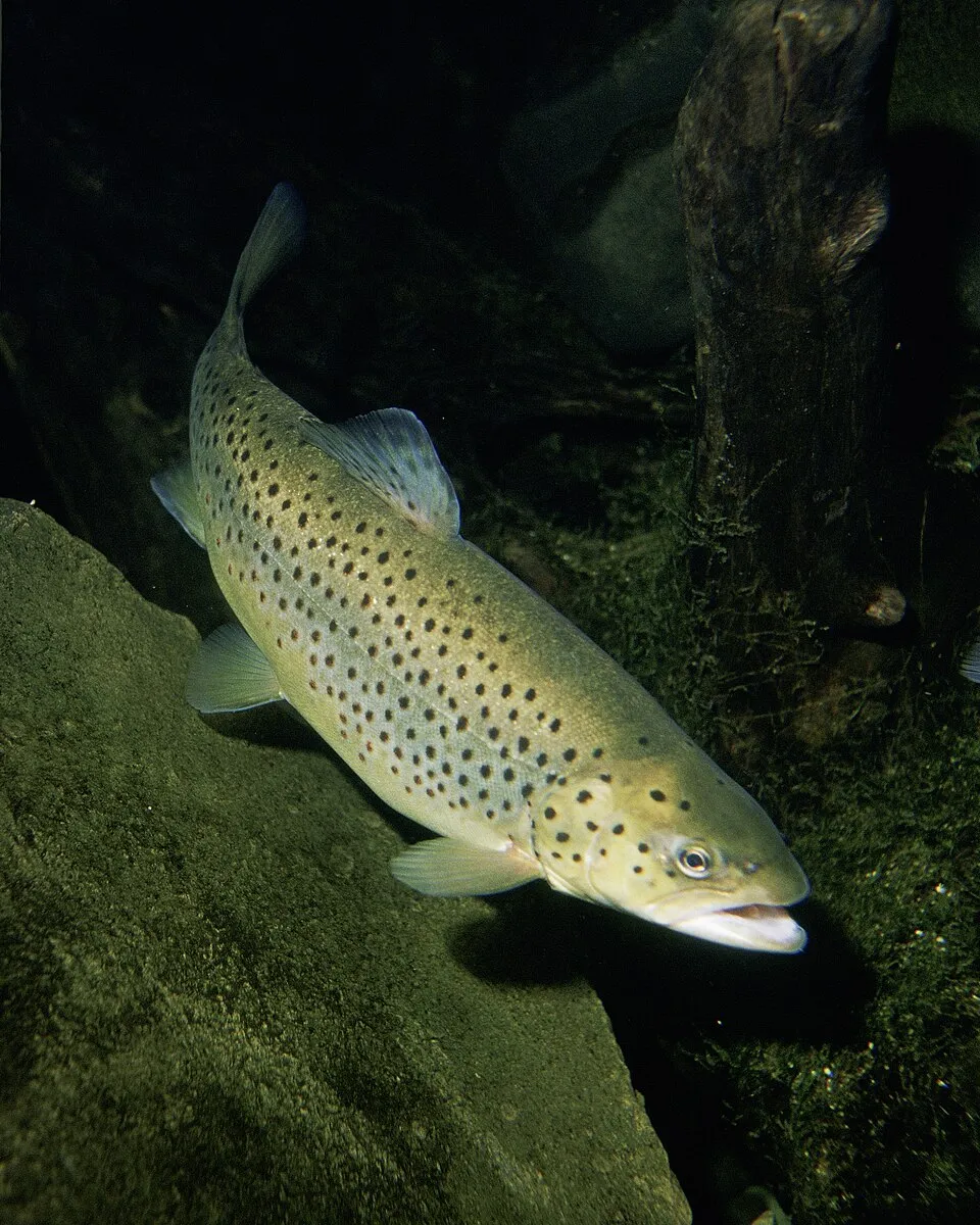
Brown Trout
Salmo trutta3,569 records © Eric Engbretson for U.S. Fish and Wildlife Service · Public domain
Protected area in France.
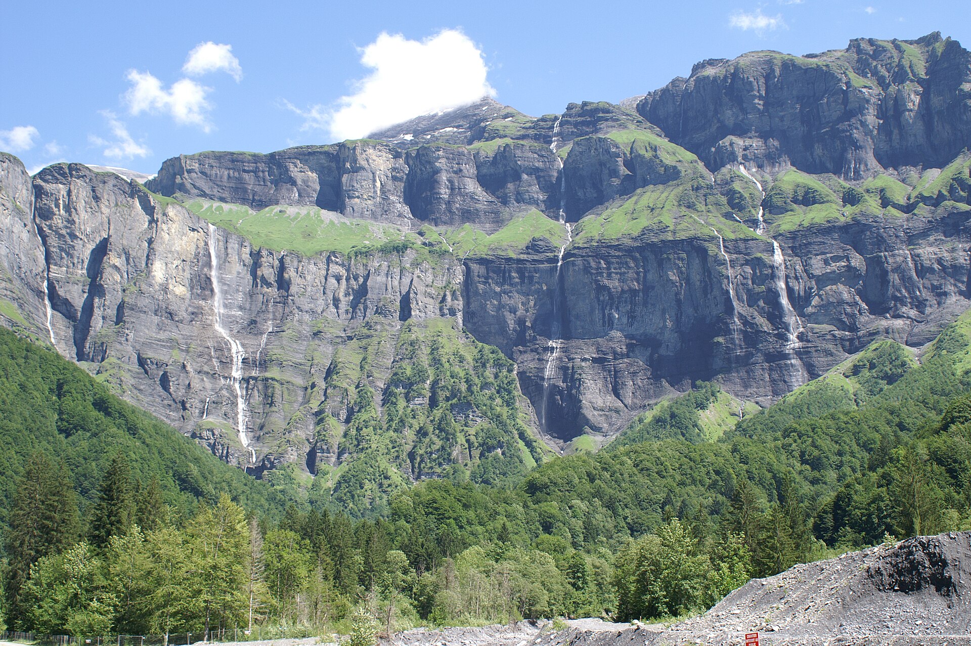
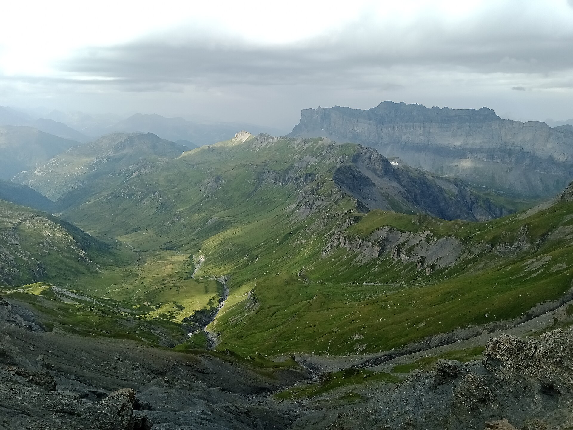
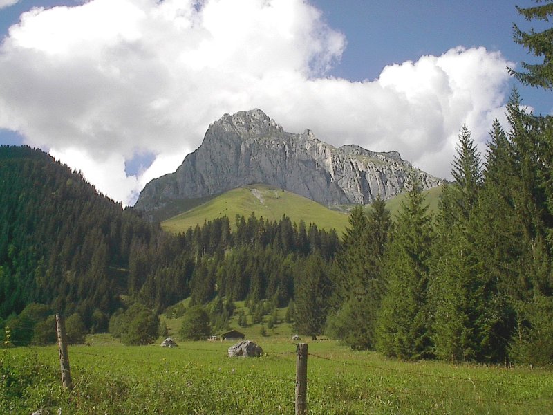
Cornettes de Bise is a protected area in France (Europe). It is a predominantly terrestrial area.
Designated as a protected area. International labels and designations: Natura 2000 network.
In France (Europe). Representative point: 46.3325° N, 6.7844° E.
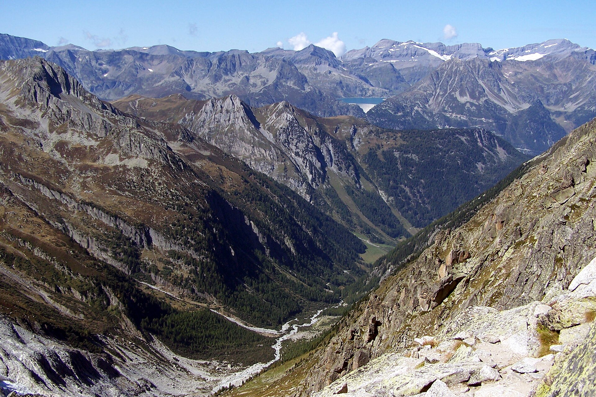
A terrestrial area, with mountains.
Natura 2000 network.
Mildest period: from June to August, with average temperatures of 5 to 8 °C.
Nearest towns of over 50,000 people, as the crow flies: Lausanne (25 km) and Geneva (51 km). Nearest airport: Geneva (GVA), about 53 km away.
The nearest railway station is Saint-Gingolph (Suisse), about 7 km from the site boundary.
Among the species most often recorded on GBIF are Salmo trutta (Brown Trout), Gymnadenia conopsea (Fragrant orchid), Orchis mascula (Early-purple Orchid) and Dactylorhiza maculata (Heath spotted orchid).
© OpenStreetMap
Download the boundary: GeoJSON · GPX Boundary © OpenStreetMap contributors (ODbL).
The representative point of the site lies at around 2,355 m above sea level. Over the 1996–2025 period, the mean annual temperature is about -1.9 °C and total precipitation reaches roughly 1,632 mm per year. The warmest month is usually July, the coolest January, and the wettest July.
● Mean temperature (°C) · ▮ Precipitation (mm)
Source: Copernicus ERA5-Land (C3S, doi:10.24381/cds.68d2bb30), monthly averages 1996–2025 interpolated to the representative point, temperatures adjusted for elevation.
Contains modified Copernicus Climate Change Service information 2026. Neither the European Commission nor ECMWF is responsible for any use that may be made of the Copernicus information or data it contains.
According to CORINE Land Cover (2018), the site is mainly made up of grassland and meadows (56%), bare rock and scree (27%) and sparsely vegetated land (16%).
Based on occurrences aggregated by GBIF, several species are regularly recorded within the site. Among the most frequent are Salmo trutta (Brown Trout), Gymnadenia conopsea (Fragrant orchid), Orchis mascula (Early-purple Orchid) and Dactylorhiza maculata (Heath spotted orchid). The full list of documented taxa is shown below.
Fish
3,569 records © Eric Engbretson for U.S. Fish and Wildlife Service · Public domain
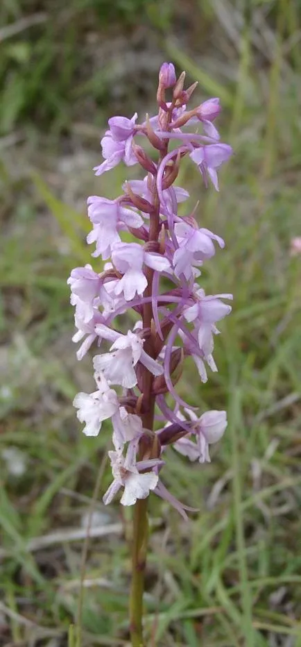
Plant
1,853 records © The original uploader was (Automated conversion) at English Wikipedia. · CC BY-SA 3.0
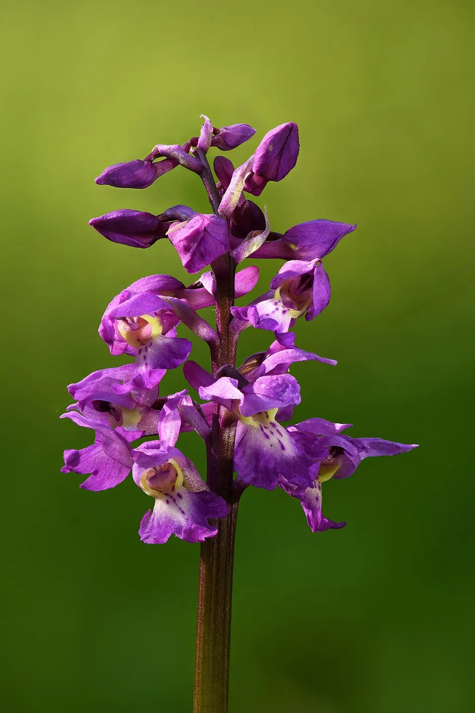
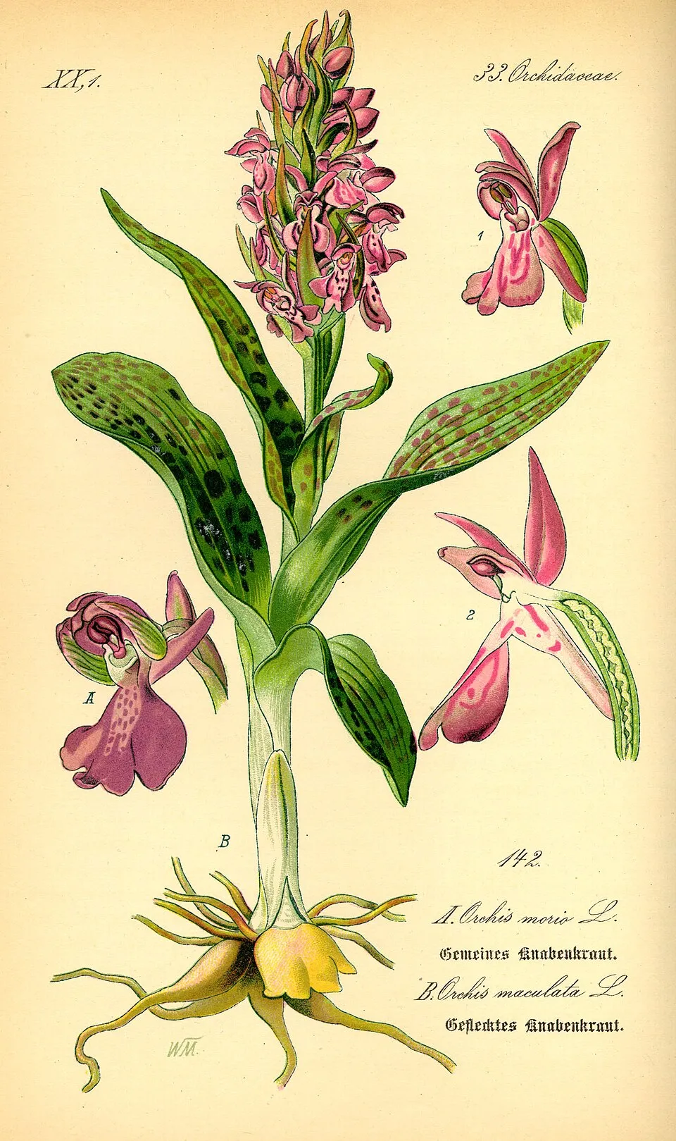
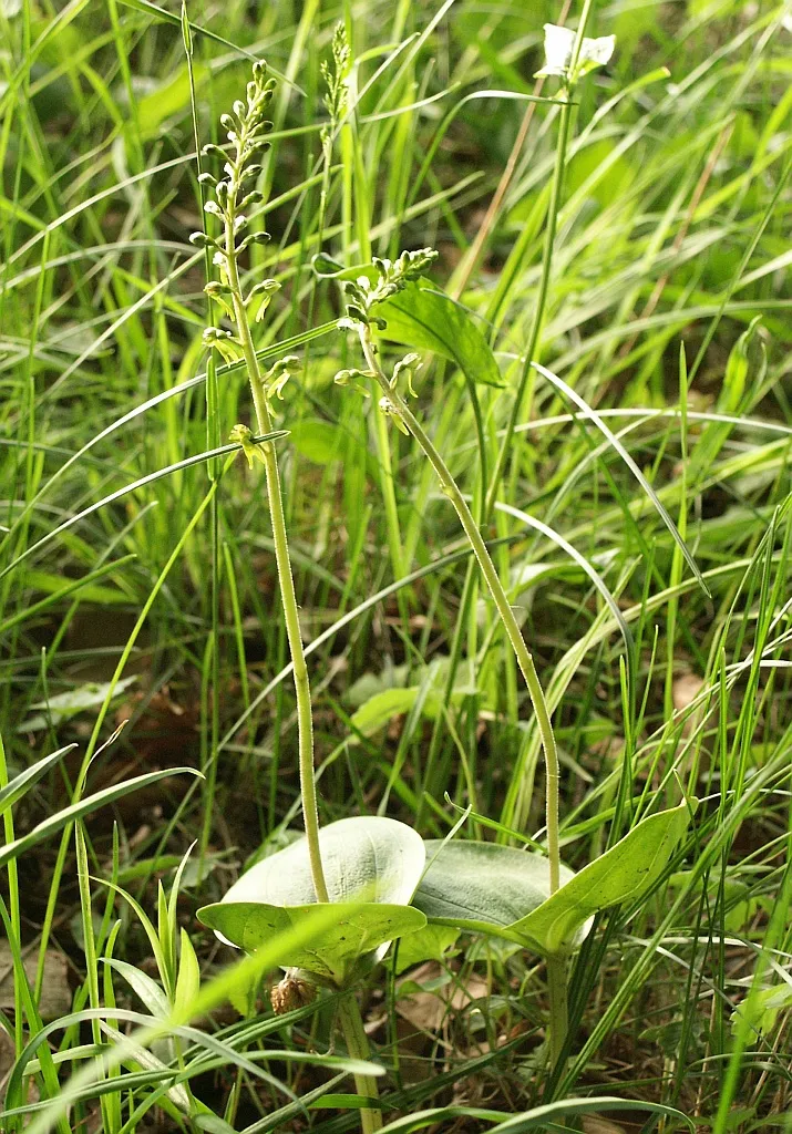
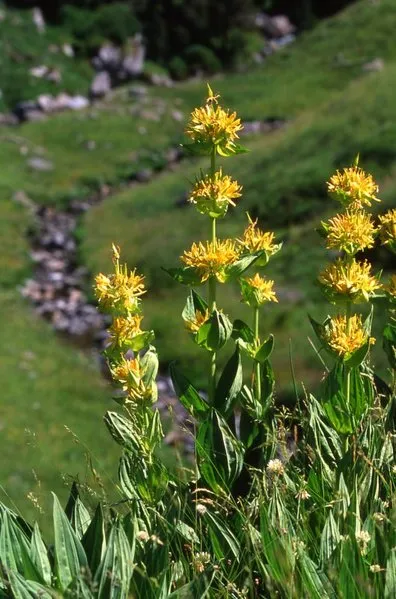
Occurrences documented via GBIF; they are neither an exhaustive inventory nor proof of current presence.
Records: GBIF.org (CC-BY). Names: Wikidata (CC0), GBIF. Photos: Wikimedia Commons.
The primary purpose of the site is to preserve its natural habitats and the biodiversity they support. The species recorded (Biodiversity tab) reflect its ecological value. The designations it holds frame its management and the control of land use.
Since 2000, 51 invasive alien species have been recorded within the site (GBIF observations), 12 of them listed as of Union concern under EU Regulation 1143/2014. Among them: Vespa velutina (Asian hornet), Reynoutria japonica (Japanese Knotweed) and Impatiens glandulifera (Himalayan Balsam).
51
incl. 12 of EU concern · since 2000
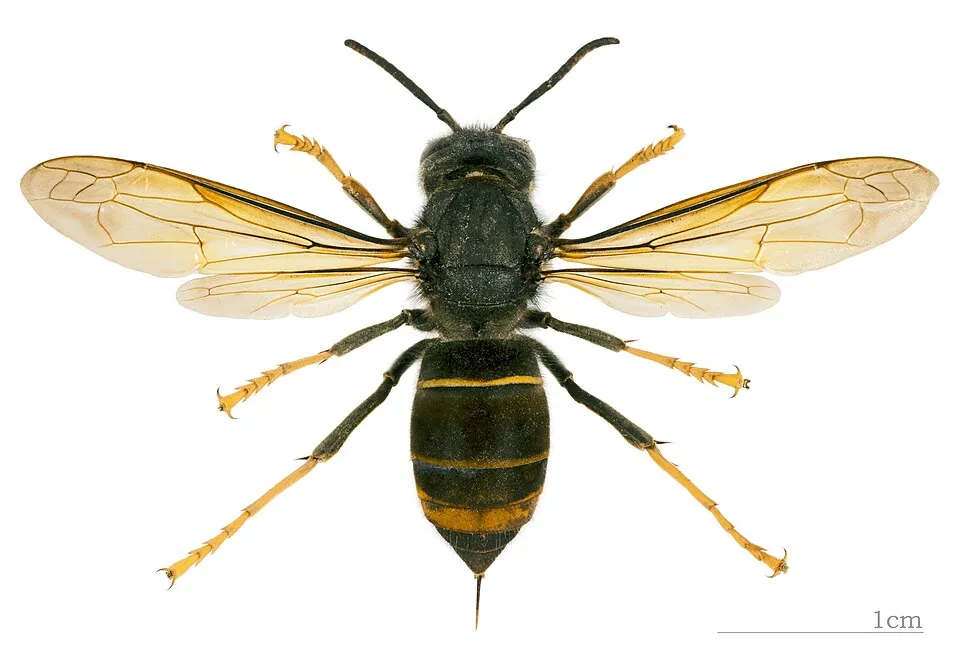 Asian hornetEU
 Japanese KnotweedEU
 Himalayan BalsamEU
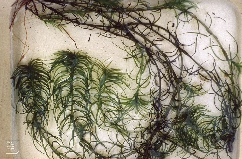 Oxygen-weedEU
 Giant HogweedEU
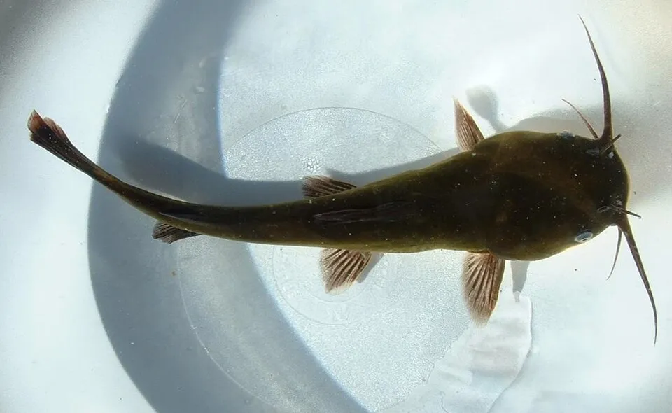 Black bullheadEU
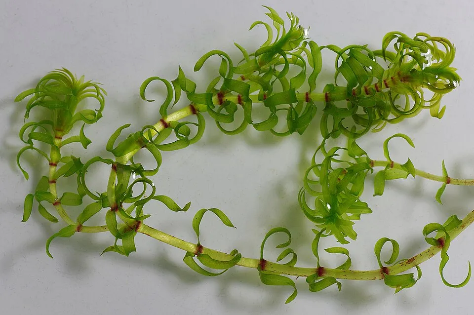 Western waterweedEU
 Tree-of-heavenEU
Photos: Asian hornet © Didier Descouens · CC BY-SA 4.0; Japanese Knotweed © W.carter · CC0-1.0; Himalayan Balsam © Guptaele · CC BY-SA 4.0; Oxygen-weed © Dr Mary Gillham Archive Project · CC BY 2.0; Giant Hogweed © anastasiiamerkulova · CC BY 4.0; Black bullhead © Jeffdelonge · CC BY-SA 3.0; Western waterweed © Christian Fischer · CC BY-SA 3.0; Tree-of-heaven © Darkone · CC BY-SA 2.5
Sources: Global Forest Change (Hansen et al., University of Maryland, via Global Forest Watch, CC-BY 4.0); EFFIS, European Commission / Copernicus; NASA Black Marble 2016 (public domain); CORINE Land Cover 2018 (Copernicus) or MODIS.
Invasive alien species: Global Register of Introduced and Invasive Species (ISSG, CC BY 4.0); Union list, Regulation (EU) 1143/2014 (INBO, CC0); GBIF.org records (CC0 / CC BY 4.0), at least 2 per species.
Data © OpenStreetMap contributors (ODbL) · Wikidata (CC0)
The nearest railway station is Saint-Gingolph (Suisse), about 7 km from the site boundary. Nearest towns of over 50,000 people, as the crow flies: Lausanne (25 km) and Geneva (51 km). Nearest airport: Geneva (GVA), about 53 km away. To plan a visit (access, opening periods, visitor rules), it is best to consult the official information from the managing body and the official website listed in this page's sources.
Source: OpenStreetMap (ODbL), Wikidata (CC0), October 2026.
Mildest period: from June to August, with average temperatures of 5 to 8 °C. Average temperatures drop below 0 °C from October to April: expect snow and frost. These averages apply to the site's representative point (2,355 m); higher up it is markedly cooler and snow lasts longer. Day length ranges from about 8 h 37 min in December to 15 h 46 min in June.
Source: Copernicus ERA5-Land (C3S), monthly averages 1996–2025 at the representative point, temperatures adjusted for elevation.
Contains modified Copernicus Climate Change Service information 2026. Neither the European Commission nor ECMWF is responsible for any use that may be made of the Copernicus information or data it contains.
Data © OpenStreetMap contributors (ODbL), Wikidata (CC0) and the sources cited.