Lithuania · Mixed
Curonian Spit National Park
National park of 26,474 hectares in Lithuania, established in 1991.
Overview
National park of 26,474 hectares in Lithuania, established in 1991.
Curonian Spit National Park is located in Lithuania (Europe). It covers both land and sea. Established in 1991, it covers about 26,474 hectares.
Protections and designations
Natura 2000 · habitats (SAC) · 2 sites
- Kuršių marios LTSIU0012
- Kuršių nerija LTNER0005
Natura 2000 · birds (SPA) · 3 sites
- Kuršių marios LTKLAB010
- Kuršių nerijos nacionalinis parkas LTKLAB001
- Kuršių nerijos pajūris LTNERB001
Protected as a national park. International labels and designations: Natura 2000 network (5 sites). Key dates: established in 1991 and first Natura 2000 site under the Birds Directive in 2004.
In our collections
Timeline
-
1991
Established
-
2004
First Natura 2000 site under the Birds Directive 3 such sites designated up to 2013
Sources: Wikidata (CC0) for establishment and international labels; EEA Natura 2000 database (CC-BY 4.0) for site designation dates.
Frequently asked questions
Where is Curonian Spit National Park?
In Lithuania (Europe). Representative point: 55.5017° N, 21.1028° E.
How large is Curonian Spit National Park?
About 26,474 hectares (265 km²). It is the 3rd largest of the 5 national parks in Lithuania covered by Parkavela. About 17,400 ha are at sea.
When was Curonian Spit National Park established?
In 1991.
What habitats and landscapes does Curonian Spit National Park include?
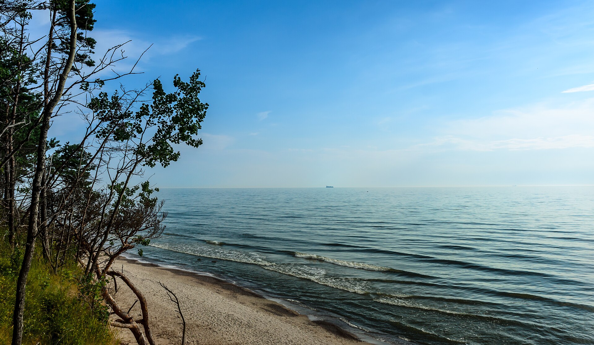
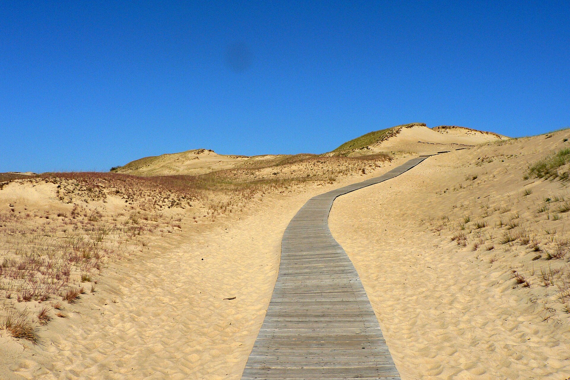
An area spanning land and sea, with forests and coasts.
What is the highest point of Curonian Spit National Park?
Vecekrugo kalnas, at 67 m (OpenStreetMap).
What are the main summits of Curonian Spit National Park?
Vecekrugo kalnas (67 m), Karvaičių kopa (59 m), Naglių kopa (59 m), Vingio kopa (59 m) and Angių kalnas (58 m) (OpenStreetMap).
Which international labels apply to Curonian Spit National Park?
Natura 2000 network (5 sites).
When is the best time to visit Curonian Spit National Park?
Best time to visit: from May to September, with average temperatures of 12 to 19 °C and moderate rainfall.
Is there snow in Curonian Spit National Park?
Yes. According to NASA's MODIS satellites (2015–2025 average), snow covers most of the site in December and January, and until February on higher ground, with about 75 snow-covered days a year on average.
Can you swim in Curonian Spit National Park?
6 monitored bathing sites lie in or within 1 km of the site; official 2025 classification: 6 excellent (European Environment Agency). Swimming is only permitted at the sites and times authorised locally.
What is the nearest large city to Curonian Spit National Park?
Nearest towns of over 50,000 people, as the crow flies: Klaipėda (2 km) and Liepāja (87 km). Nearest airport: Palanga (PLQ), about 28 km away.
How can I reach Curonian Spit National Park by train?
The nearest railway station is Klaipėda, about 2 km from the site boundary.
Where can I get visitor information on site?
Nidos lankytojų centras, Juodkrantės turizmo informacijos centras and Nidos kultūros ir turizmo informacijos centras „Agila“.
Are there waymarked hiking trails in Curonian Spit National Park?
Yes. Waymarked hiking routes listed in OpenStreetMap: 13, including E 9 (18 km). The E9 section 64: Nida – Pervalka route runs for about 18 km through the site.
Which species can be seen in Curonian Spit National Park?
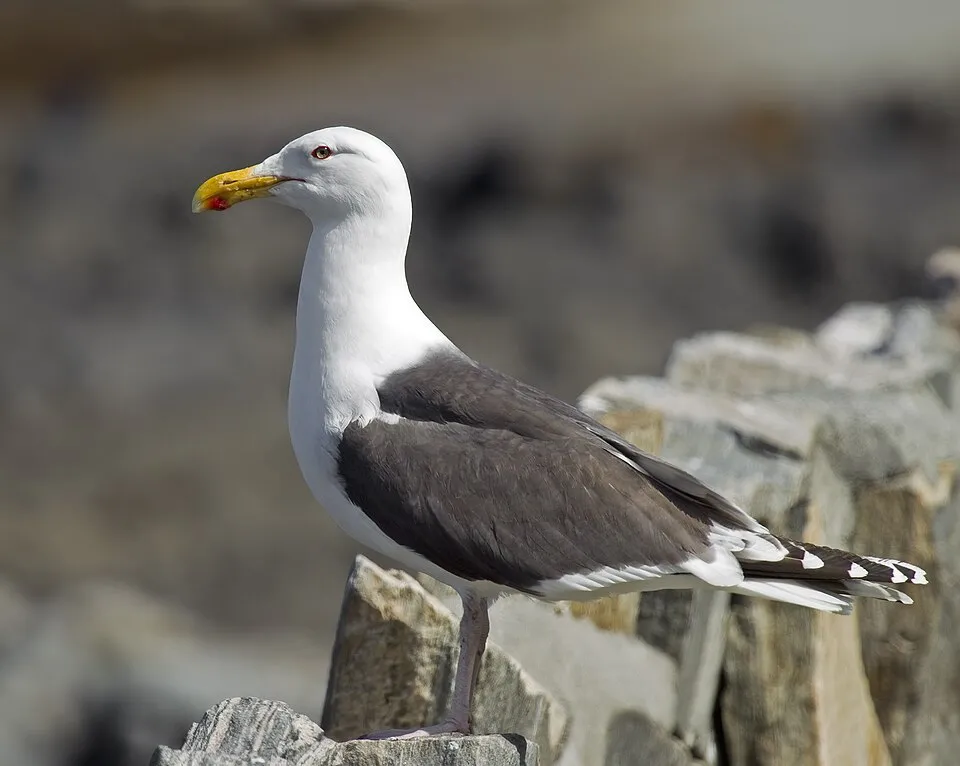
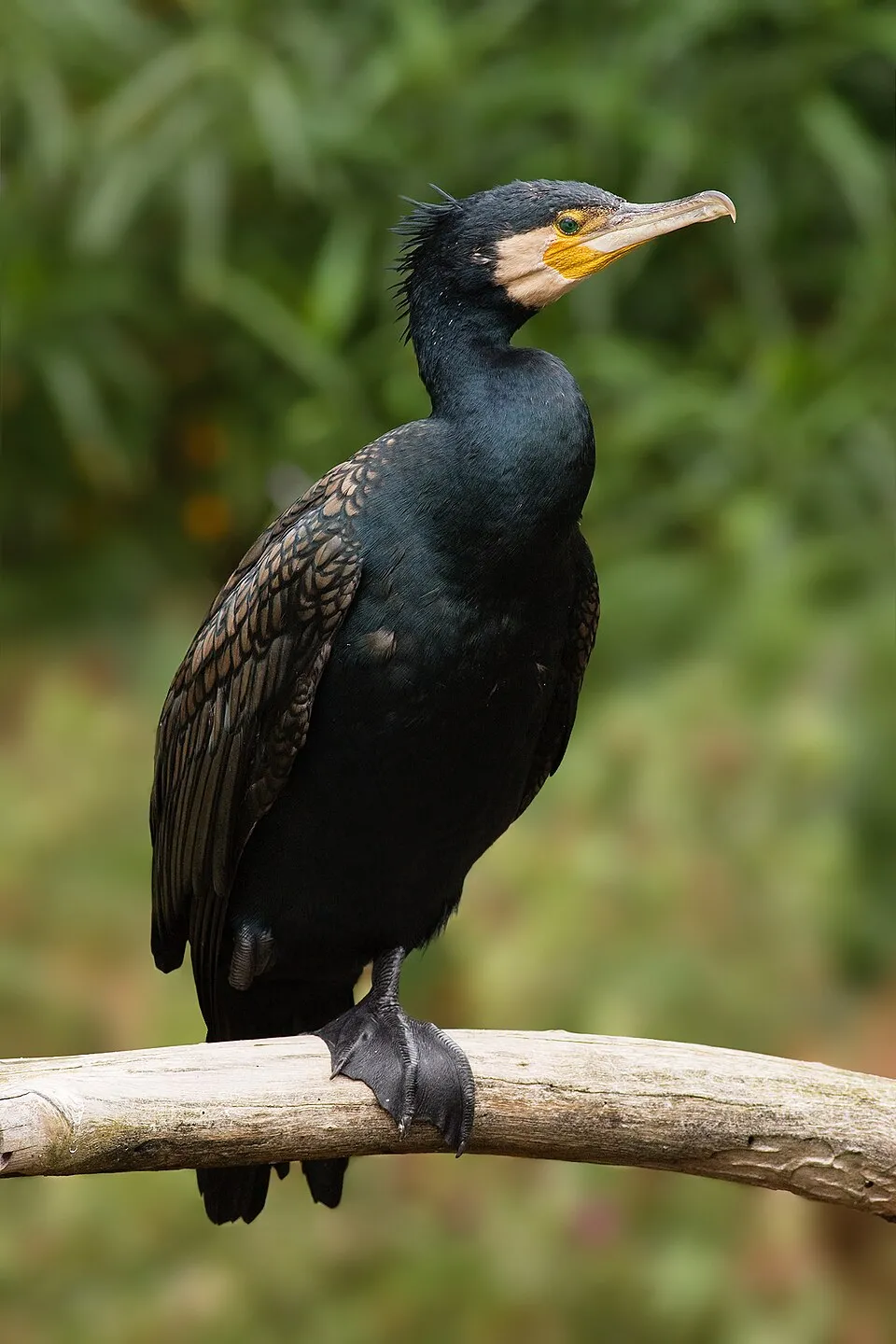
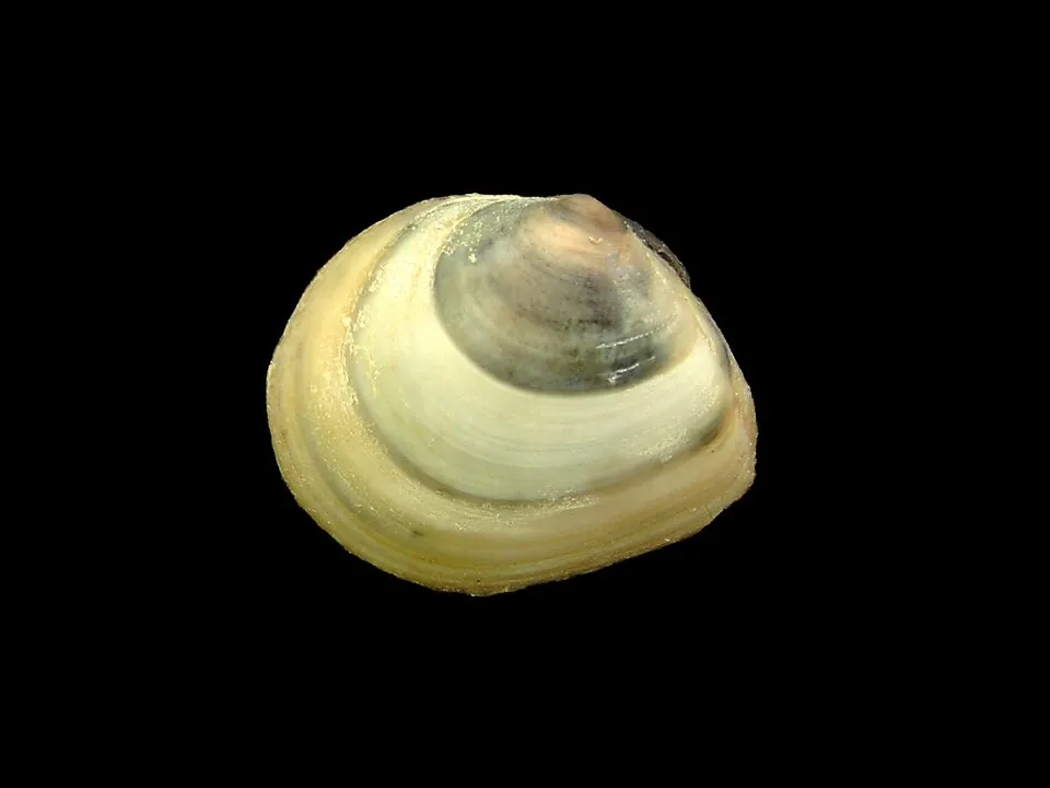
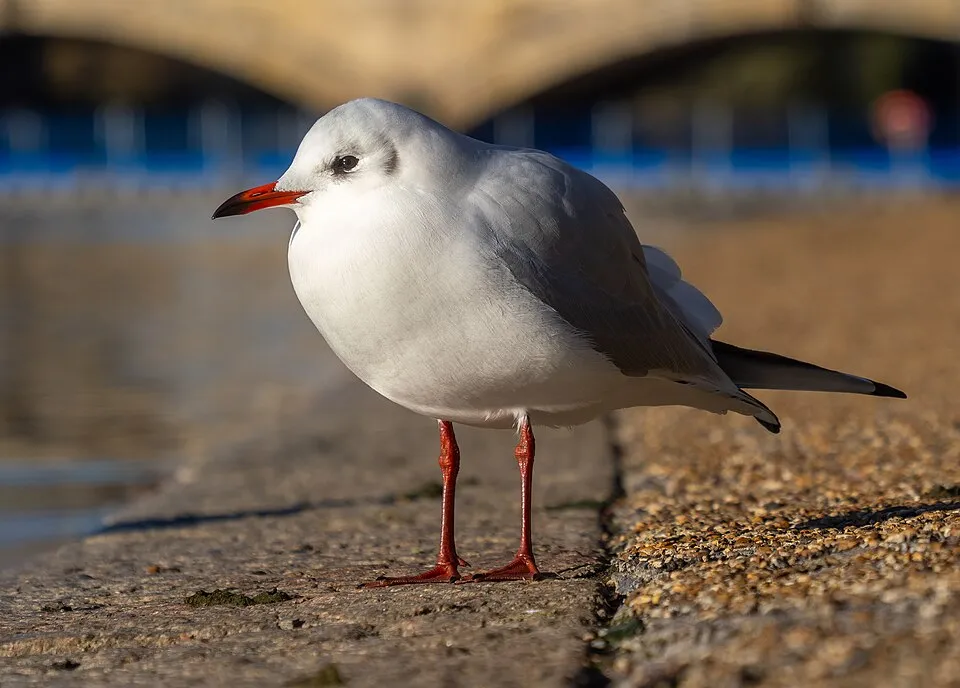
Among the species most often recorded on GBIF are Larus marinus (Great Black-backed Gull), Phalacrocorax carbo (Great Cormorant), Macoma balthica (Baltic Tellin) and Chroicocephalus ridibundus (Black-headed Gull).
What is the official website of Curonian Spit National Park?
© OpenStreetMap
Download the boundary: GeoJSON · GPX Boundary © OpenStreetMap contributors (ODbL).
Geography
The representative point of the site lies at around 4 m above sea level. Over the 1996–2025 period, the mean annual temperature is about 8.6 °C and total precipitation reaches roughly 906 mm per year. The warmest month is usually July, the coolest January, and the wettest October.
Area
- Area
- 26,474 ha
- Elevation
- 4 m
- Snow cover
- ≈ 75 days a year
- Coordinates
- 55.5017, 21.1028
Main summits
- Vecekrugo kalnas67 m
- Karvaičių kopa59 m
- Naglių kopa59 m
- Vingio kopa59 m
- Angių kalnas58 m
- Preilos kalnas57 m
- Dune de Parnidis52 m
- Skirpsto kopa52 m
- Urbo kalnas51 m
- Sklandytojų kopa50 m
Data © OpenStreetMap contributors (ODbL)
Climate
● Mean temperature (°C) · ▮ Precipitation (mm)
Source: Copernicus ERA5-Land (C3S, doi:10.24381/cds.68d2bb30), monthly averages 1996–2025 interpolated to the representative point, temperatures adjusted for elevation.
Contains modified Copernicus Climate Change Service information 2026. Neither the European Commission nor ECMWF is responsible for any use that may be made of the Copernicus information or data it contains.
Snow cover measured by satellite
J
F
M
A
M
J
J
A
S
O
N
D
average share of the site under snow · snowiest parts · ≈ 75 days a year
Snow cover: MODIS/Terra MOD10CM v61 (Hall & Riggs, 2021, NASA NSIDC DAAC, doi:10.5067/MODIS/MOD10CM.061), imagery from NASA GIBS (ESDIS); 2015–2025 average, grid of about 5 km.
Natural habitats
According to CORINE Land Cover (2018), the land area is mainly made up of forests (60%), heath and scrub (21%) and beaches and dunes (15%). Woodland is mostly coniferous. The sea covers about 66% of the site. Elevation ranges from sea level to 67 m (highest point: Vecekrugo kalnas). The 5 Natura 2000 sites overlapping the area list 11 habitats of European interest (4 priority), the most extensive being coastal lagoons, estuaries and wooded dunes of the Atlantic, Continental and Boreal region.
Biodiversity
Based on occurrences aggregated by GBIF, several species are regularly recorded within the site. Among the most frequent are Larus marinus (Great Black-backed Gull), Phalacrocorax carbo (Great Cormorant), Macoma balthica (Baltic Tellin) and Chroicocephalus ridibundus (Black-headed Gull). The full list of documented taxa is shown below. The overlapping Natura 2000 sites list 40 species of European interest: 28 birds, 9 fish, 2 invertebrates and 1 plant.
Habitats of European interest
From the official forms of the 5 Natura 2000 sites overlapping the area (areas reported for each whole site).
- Coastal lagoons priority 30,430 ha
- Estuaries 7,365 ha
- Wooded dunes of the Atlantic, Continental and Boreal region 1,292 ha
- Fixed coastal dunes with herbaceous vegetation (‘grey dunes’) priority 754 ha
- Shifting dunes along the shoreline with Ammophila arenaria (‘white dunes’) 354 ha
- Fennoscandian deciduous swamp woods priority 65 ha
- Embryonic shifting dunes 20 ha
- Humid dune slacks 11 ha
and 3 more
Species of European interest
Birds · 28
Razorbill (Alca torda) wintering, Northern Pintail (Anas acuta) passage, Northern Shoveler (Anas clypeata) passage, Eurasian Teal (Anas crecca) passage, Eurasian Wigeon (Anas penelope) passage, Mallard (Anas platyrhynchos) wintering passage, Greater white-fronted goose (Anser albifrons) passage, Tawny Pipit (Anthus campestris) wintering breeding, Common Pochard (Aythya ferina) passage, Tufted Duck (Aythya fuligula) passage, Common Goldeneye (Bucephala clangula) passage, European Nightjar (Caprimulgus europaeus) breeding and 16 more
Fish · 9
Twait shad (Alosa fallax), Asp (Aspius aspius), Spined loach (Cobitis taenia), European river lamprey (Lampetra fluviatilis), Eurasian Asp (Leuciscus aspius), Ziege (Pelecus cultratus), European bitterling (Rhodeus amarus), Atlantic salmon (Salmo salar), Salmon (Salmo salar linnaeus)
Invertebrates · 2
Woodland brown (Lopinga achine), Large copper (Lycaena dispar)
Plants · 1
Linaria loeselii
Source: Natura 2000 standard data forms (EEA, CC-BY 4.0). Not exhaustive: sensitive species are not published.
Species to look out for
Bird
Great Cormorant
Phalacrocorax carbo695 records © JJ Harrison (https://www.jjharrison.com.au/) · CC BY-SA 3.0

Bird
Hooded Crow
Corvus cornix600 records © Ricardo Tulio Gandelman from Rio de Janeiro, Brazil · CC BY 2.0
Observed species
Occurrences documented via GBIF; they are neither an exhaustive inventory nor proof of current presence.
- Mesodinium rubrum · 1044
- Skeletonema marinoi · 928
- Great Black-backed Gull · Larus marinus · 756
- Great Cormorant · Phalacrocorax carbo · 695
- Baltic Tellin · Macoma balthica · 690
- Teleaulax acuta · 602
- Black-headed Gull · Chroicocephalus ridibundus · 602
- Hooded Crow · Corvus cornix · 600
- European Herring Gull · Larus argentatus · 590
- Teleaulax amphioxeia · 566
- Eurasian Chaffinch · Fringilla coelebs · 476
- Sand Gaper · Mya arenaria · 476
+18 more species
- Great Crested Grebe · Podiceps cristatus · 471
- Common Gull · Larus canus · 459
- Desmodesmus communis · 456
- Plagioselmis prolonga · 454
- Binuclearia lauterbornii · 452
- Velvet Scoter · Melanitta fusca · 436
- Heterocapsa rotundata · 394
- Great tit · Parus major · 385
- White Wagtail · Motacilla alba · 383
- Mallard · Anas platyrhynchos · 365
- Acartia (Acartiura) longiremis · Acartia longiremis · 348
- Mute Swan · Cygnus olor · 316
- Barn Swallow · Hirundo rustica · 315
- Grey Heron · Ardea cinerea · 308
- Eurasian blue tit · Cyanistes caeruleus · 302
- Estuary Ragworm · Hediste diversicolor · 294
- White-tailed Eagle · Haliaeetus albicilla · 284
- Great Spotted Woodpecker · Dendrocopos major · 273
Records: GBIF.org (CC-BY). Names: Wikidata (CC0), GBIF. Photos: Wikimedia Commons.
Conservation challenges
The primary purpose of the site is to preserve its natural habitats and the biodiversity they support. The species recorded (Biodiversity tab) reflect its ecological value. The designations it holds frame its management and the control of land use.
According to Global Forest Change data (University of Maryland, Global Forest Watch), about 1,210 ha of tree cover were lost within the boundary between 2001 and 2023 (5% of its area), peaking in 2006 and 2019. These losses include logging, storms and fires, and do not account for regrowth. According to the European CORINE Land Cover inventory (Copernicus), land cover changed on about 608 ha of the site between 1990 and 2018 (5% of its area): forest grew by 156 ha, mostly at the expense of open natural land, while open natural land shrank by 156 ha, mostly giving way to forest. Forest felling and regrowth add about 200 ha in total over the period. At night, 13% of the area gives off artificial light detectable from space (NASA VIIRS Black Marble composite, 2016). According to the Natura 2000 forms, of 11 assessed habitats of European interest, 7 are in excellent condition and the rest in good condition. According to the Water Framework Directive assessment (2022 river basin management plans, data 2014–2019), water bodies assessed within the site: lagoons and estuaries, 0 of 4 in good ecological status or better; coastal waters, 0 of 1 in good ecological status or better. Invasive alien species have been recorded within the site since 2000 (GBIF observations), several of them listed as of Union concern. Among them: Impatiens glandulifera (Himalayan Balsam) and Reynoutria sachalinensis (Giant Knotweed).
Pressure indicators
Tree cover lost
1,211 ha
2001–2023 · 5% of the area
20012023
Fires since 2016
0
No large fire mapped (fires over about 30 ha)
Light at night
13%
of the area gives off artificial light visible from space
DarkLit
Built-up land
< 1%
buildings, business areas, roads, quarries
Land cover change
608 ha
changed cover, 1990–2018 · CORINE · 5% of the area
- +156 ha · forest
- −156 ha · open natural land
forest felling and regrowth: 200 ha in total
Rivers and lakes
Lagoons and estuaries: 0 of 4 good or better
Coastal waters: 0 of 1 good or better
assessments 2014–2019
Invasive alien species
2
incl. 2 of EU concern · since 2000
 Himalayan BalsamEU
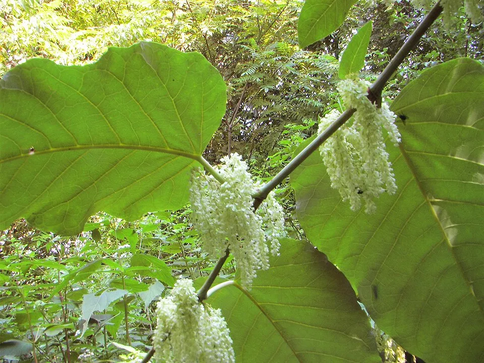 Giant KnotweedEU
Photos: Himalayan Balsam © Guptaele · CC BY-SA 4.0; Giant Knotweed © Velocicaptor · Public domain
Sources: Global Forest Change (Hansen et al., University of Maryland, via Global Forest Watch, CC-BY 4.0); EFFIS, European Commission / Copernicus; NASA Black Marble 2016 (public domain); CORINE Land Cover 2018 (Copernicus) or MODIS.
CORINE Land Cover Change 1990–2018: generated using European Union's Copernicus Land Monitoring Service information (EEA), aggregated by Parkavela; DOI 10.2909/f30f1000-7cf8-43bb-872c-5eb093911b24.
Ecological status of water bodies: European Environment Agency, WISE – Water Framework Directive, 3rd river basin management plans (2022), CC BY 4.0. Official national classification, not comparable between countries.
Invasive alien species: Global Register of Introduced and Invasive Species (ISSG, CC BY 4.0); Union list, Regulation (EU) 1143/2014 (INBO, CC0); GBIF.org records (CC0 / CC BY 4.0), at least 2 per species.
Practical information
Cities and airport
- Klaipėda
2 km as the crow flies - Liepāja
87 km as the crow flies - Airport: Palanga (PLQ)
28 km as the crow flies
Visitor information
- Nidos lankytojų centras
within the site - Juodkrantės turizmo informacijos centras
within the site - Nidos kultūros ir turizmo informacijos centras „Agila“
within the site - Kuršių nerijos nacionalinio parko lankytojų centras
within the site
Parking
87 public car parks listed within the site
RezervuotaStovėjimo aikštelė, pritaikyta neįgaliesiems
Hiking
13 waymarked routes listed, including:
E 9 (18 km)
By bike
EV10 / EV13 · 59 km R1 Euroroute R1 · 51 kmLT5 · 51 km
Signed cycle routes: this does not mean that cycling is allowed on footpaths.
Wheelchair access
- Apžvalgos aikštelė ant meškos galvos
viewpoint - Karvaičių apžvalgos aikštelė
viewpoint - Urbo kalnas
viewpoint
accessible toilets: 20
Reported by OpenStreetMap contributors (ODbL); check with the park before visiting.
Data © OpenStreetMap contributors (ODbL) · Wikidata (CC0)
Contains information from EuroVelo GPX tracks downloaded from www.EuroVelo.com on 2026-10-22, which is made available here under the Open Database License (ODbL). EuroVelo® is a registered trademark of the ECF. Routes © OpenStreetMap contributors (ODbL), via Waymarked Trails
Waymarked hiking routes
Nuo Nidos iki Preilos marių pakrante
8.5 km within the site ↗ 5 m↘ 5 m -2–7 m
Juodkrantė: Bloksbergo promenada – Raganų kalnas
6.6 km within the site ↗ 53 m↘ 49 m 6–45 m
Tracks © OpenStreetMap contributors (ODbL), clipped to the boundary; elevation gain and profiles computed on the longest section from Mapzen Terrain Tiles (≈ 30 m), indicative only.
Bathing
6 monitored bathing sites in or within 1 km of the site · 2025 classification
Excellent · 6
- Juodkrantes Papludimio · sea · Excellent
- Nidos Papludimio · sea · Excellent
- Pervalkos Papludimio · sea · Excellent
- Preilos Papludimio · sea · Excellent
- Smiltynes I Papludimio · sea · Excellent
- Smiltynes Ii Papludimio · sea · Excellent
Source: European Environment Agency, official bathing water classification (Directive 2006/7/EC, CC-BY 4.0). Swimming is only permitted at the sites and times authorised locally.
Access and visiting
The nearest railway station is Klaipėda, about 2 km from the site boundary. Nearest towns of over 50,000 people, as the crow flies: Klaipėda (2 km) and Liepāja (87 km). Nearest airport: Palanga (PLQ), about 28 km away. About 210,000 people live within 20 km of the site boundary, 160,000 of them within 10 km; some 2,500 people are estimated to live inside (GHSL estimate, 2020). This population has fallen by about 20% since 2000. Visitor information on site: Nidos lankytojų centras, Juodkrantės turizmo informacijos centras and Nidos kultūros ir turizmo informacijos centras „Agila“. Public car parks listed within the site: 87, including Rezervuota and Stovėjimo aikštelė, pritaikyta neįgaliesiems. Waymarked hiking routes listed in OpenStreetMap: 13, including E 9 (18 km). The EuroVelo 10 and EuroVelo 13 cycle routes, which share the same line here, cross the site for about 59 km; 2 other signed cycle routes also pass through: “R1 Euroroute R1” and “LT5” (EuroVelo, OpenStreetMap). OpenStreetMap contributors list 3 wheelchair-accessible places, including Apžvalgos aikštelė ant meškos galvos and Karvaičių apžvalgos aikštelė; check with the park before visiting. To plan a visit (access, opening periods, visitor rules), it is best to consult the official information from the managing body and the official website listed in this page's sources.
Source: OpenStreetMap (ODbL), Wikidata (CC0), October 2026.
When to visit
Best time to visit: from May to September, with average temperatures of 12 to 19 °C and moderate rainfall. Average temperatures drop below 0 °C in January and February: frost is common. According to NASA's MODIS satellites (2015–2025 average), snow covers most of the site in December and January, and until February on higher ground, with about 75 snow-covered days a year on average. Day length ranges from about 7 h 05 min in December to 17 h 27 min in June. Wildlife records published on GBIF peak for birds (September and October), plants (August), butterflies and moths (July) and mammals (June and July). These peaks also reflect when observers are most active.
Source: Copernicus ERA5-Land (C3S), monthly averages 1996–2025 at the representative point, temperatures adjusted for elevation.
Contains modified Copernicus Climate Change Service information 2026. Neither the European Commission nor ECMWF is responsible for any use that may be made of the Copernicus information or data it contains.
Wildlife records calendar
JFMAMJJASOND
Birds
Plants
Butterflies & moths
Mammals
Monthly records published on GBIF (CC-BY), relative to the busiest month; also reflects observer activity.
Gallery
© Wojsyl · CC BY-SA 3.0
© Petras Gagilas · CC BY-SA 2.0
© Keith Ruffles · CC BY 3.0
© Syrio · CC BY-SA 4.0
© Hugo.arg · Public domain
© FrDr · CC BY-SA 4.0
Sources and licences
- Wikidata: Q1520511
- OpenStreetMap: relation 963625
- Official website: http://www.nerija.lt/
- Wikipedia: en.wikipedia.org/wiki/Curonian_Spit_National_Park_(Lithuania)
- Natura 2000: LTKLAB001
- WDPA: 31552
References
- cds.climate.copernicus.eu: climate · CC-BY-4.0
- registry.opendata.aws: elevation of the reference point, detailed relief · PD
- land.copernicus.eu: land cover, land cover change, sea share · COPERNICUS
- doi.org: population around the site · CC-BY-4.0
- wikidata.org: official area, establishment date, official name, nearby cities and airport, access and peaks, lake depths, places to see, official website · CC0-1.0
- eea.europa.eu: bathing water quality, ecological status of waters · CC-BY-4.0
- en.eurovelo.com: EuroVelo cycle routes · ODbL-1.0
- cycling.waymarkedtrails.org: cycle routes · ODbL-1.0
- gebco.net: depths · PD
- opentopodata.org: elevations · PD
- forest-fire.emergency.copernicus.eu: wildfires · COPERNICUS
- globalforestwatch.org: tree cover loss · CC-BY-4.0
- gbif.org: seasonality of sightings, invasive alien species, observed species · CC-BY-4.0
- hydrosheds.org: lakes · CC-BY-4.0
- natura2000.eea.europa.eu: Natura 2000 habitats and species · CC-BY-4.0
- earthobservatory.nasa.gov: night light · PD
- openstreetmap.org: access and peaks, trail difficulty, wheelchair access · ODbL-1.0
- hiking.waymarkedtrails.org: route difficulty · ODbL-1.0
- nsidc.org: snow cover · PD
- wikidata.org: Wikipedia article · CC-BY-SA-4.0
Data © OpenStreetMap contributors (ODbL), Wikidata (CC0) and the sources cited.