
Poland · Terrestrial
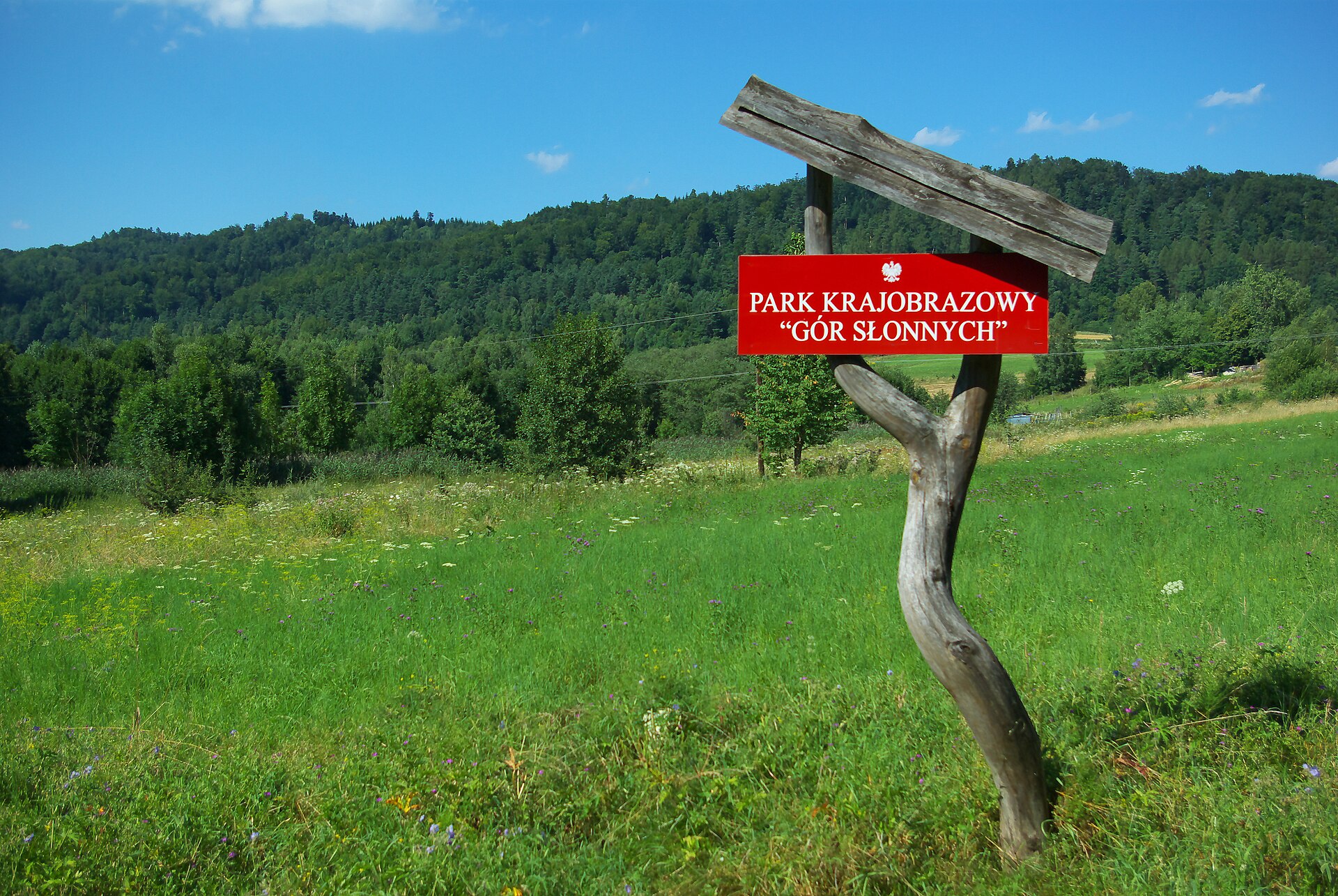
Czarnorzeki-Strzyżów Landscape Park
Landscape park of 25,654 hectares in Poland, established in 1993.
Overview
Landscape park of 25,654 hectares in Poland, established in 1993.
Czarnorzeki-Strzyżów Landscape Park is located in Poland (Europe). It is a predominantly terrestrial area. Established on 7 April 1993, it covers about 25,654 hectares.
Protections and designations
Natura 2000 · habitats (SAC) · 4 sites
- Klonówka PLH180022
- Łąki nad Wojkówką PLH180051
- Ostoja Czarnorzecka PLH180027
- Wisłok Środkowy z Dopływami PLH180030
Protected as a landscape park. International labels and designations: Natura 2000 network (4 sites). Key dates: established in 1993 and first Natura 2000 site under the Habitats Directive in 2009.
In our collections
Timeline
-
1993
Established
-
2009
First Natura 2000 site under the Habitats Directive 4 such sites designated up to 2011
Sources: Wikidata (CC0) for establishment and international labels; EEA Natura 2000 database (CC-BY 4.0) for site designation dates.
Frequently asked questions
Where is Czarnorzeki-Strzyżów Landscape Park?
In Poland (Europe). Representative point: 49.8192° N, 21.7089° E.
How large is Czarnorzeki-Strzyżów Landscape Park?
About 25,654 hectares (257 km²). It is the 35th largest of the 121 landscape parks in Poland covered by Parkavela.
When was Czarnorzeki-Strzyżów Landscape Park established?
On 7 April 1993.
What habitats and landscapes does Czarnorzeki-Strzyżów Landscape Park include?
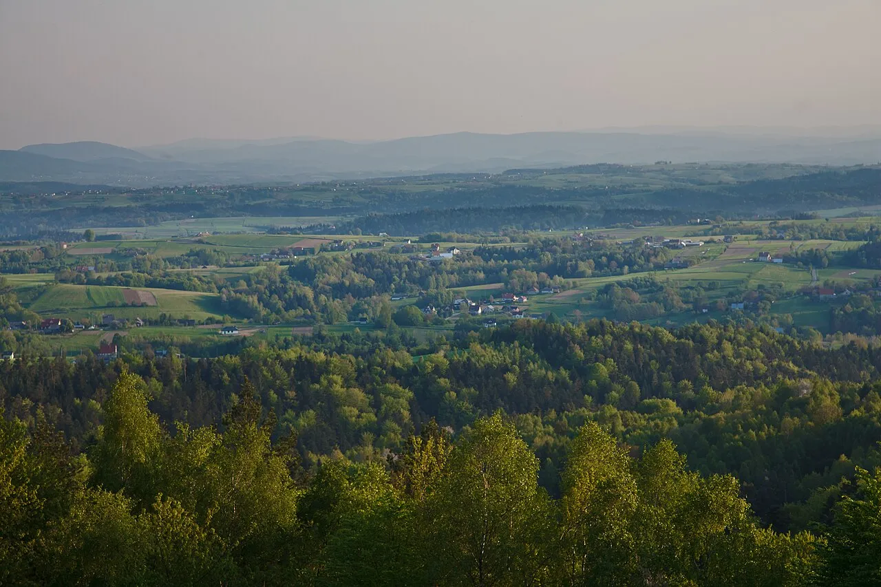
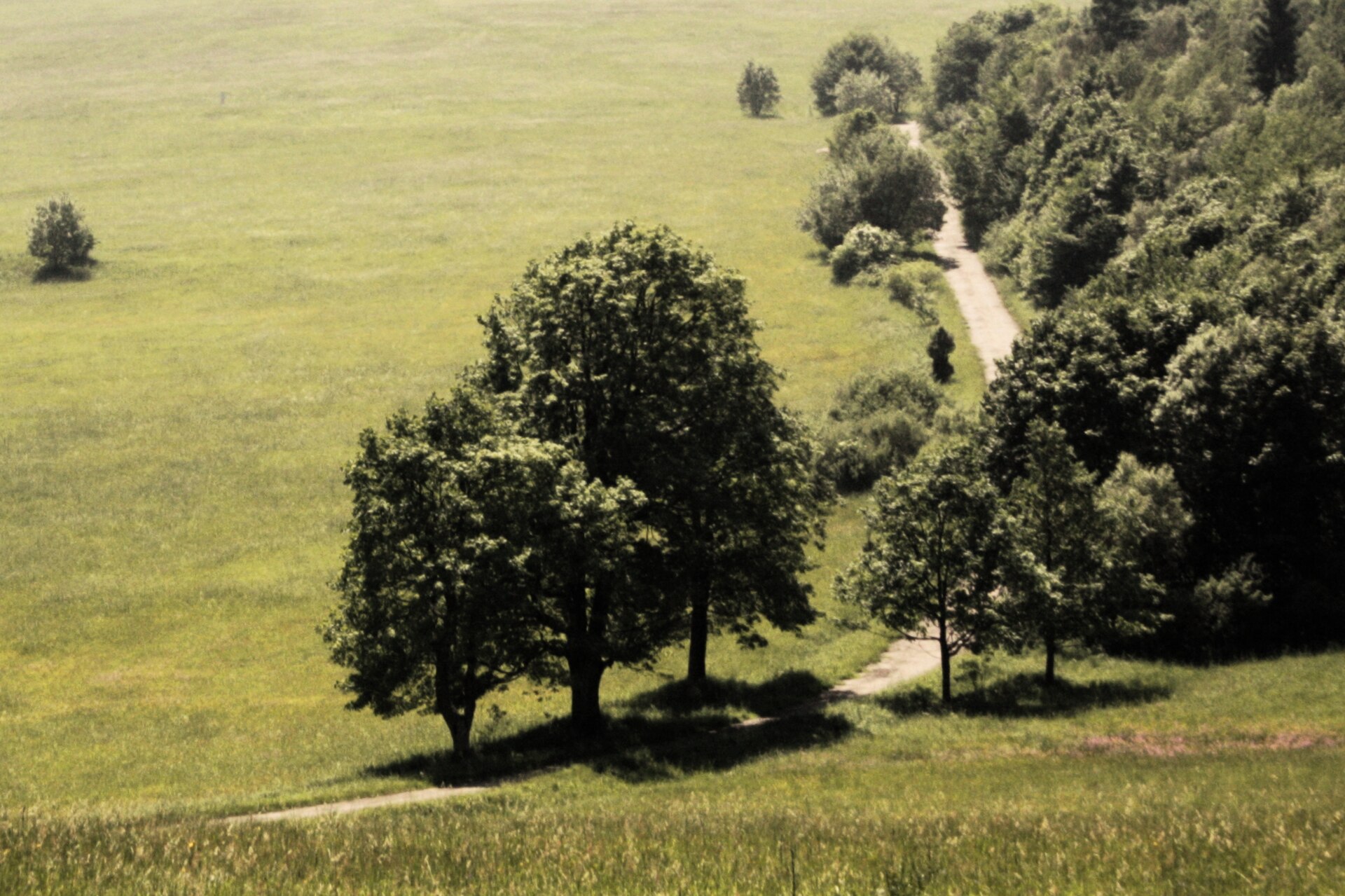
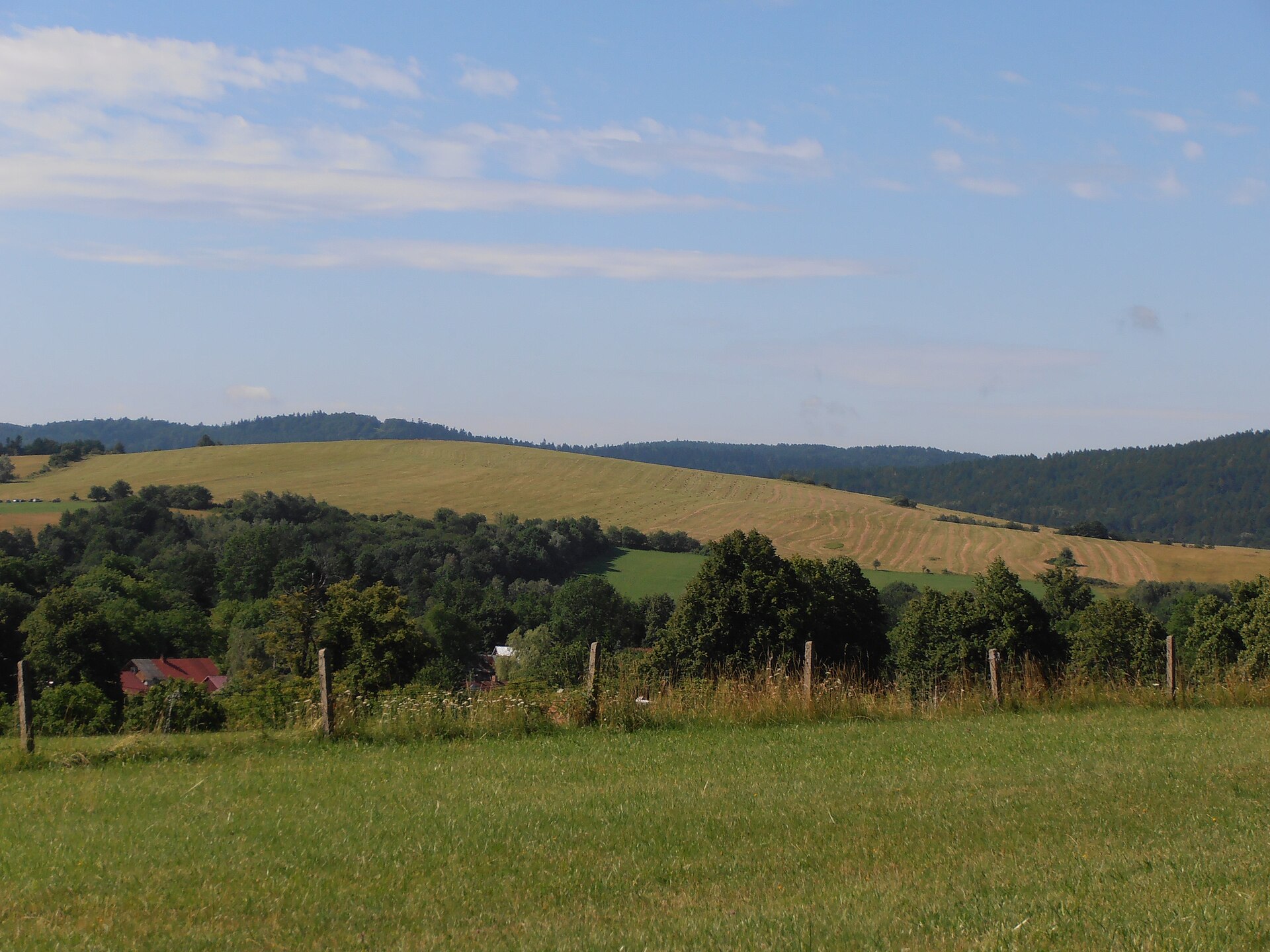
A terrestrial area, with forests.
What rocks lie beneath Czarnorzeki-Strzyżów Landscape Park?
According to the European 1:1 million geological map (EGDI), the bedrock consists mainly of clays and silts (45% of sampled points) and sandstones (45%). These are mostly sedimentary rocks. The geological units date mainly from the Quaternary (45% of sampled points).
What is the highest point of Czarnorzeki-Strzyżów Landscape Park?
Sucha Góra, at 585 m (OpenStreetMap).
What are the main summits of Czarnorzeki-Strzyżów Landscape Park?
Sucha Góra (585 m), Królewska Góra (564 m), Strzelnica (542 m), Bardo (534 m) and Chełm (528 m) (OpenStreetMap).
Which international labels apply to Czarnorzeki-Strzyżów Landscape Park?
Natura 2000 network (4 sites).
Is there snow in Czarnorzeki-Strzyżów Landscape Park?
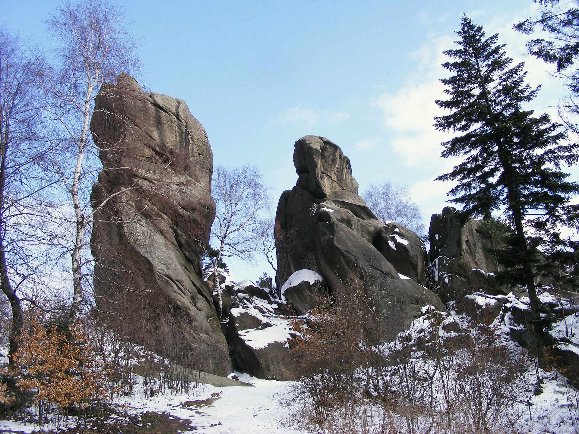
Yes. According to NASA's MODIS satellites (2015–2025 average), snow covers most of the site from December to February, with about 55 snow-covered days a year on average.
What is there to see in Czarnorzeki-Strzyżów Landscape Park?
19 viewpoints, 2 waterfalls and 2 caves, including Czarnorzeki Dział, Trzy Wody, Dusiowa Jama and Pomost widokowy nad wodospadem "Trzy wody" (OpenStreetMap).
Where can I stay in Czarnorzeki-Strzyżów Landscape Park?
2 campsites (OpenStreetMap).
Are there historic monuments in Czarnorzeki-Strzyżów Landscape Park?
Yes. According to Wikidata, 52 monuments listed in the Polish register of monuments stand within the boundary. For example: “Church of the Nativity of the Virgin Mary in Oparówka” in Oparówka, “Kamieniec Castle” in Odrzykoń and “Oficyna, XVIII/XIX” in Wiśniowa.
What is the nearest large city to Czarnorzeki-Strzyżów Landscape Park?
Nearest towns of over 50,000 people, as the crow flies: Rzeszów (25 km) and Tarnów (36 km). Nearest airport: Rzeszów-Jasionka (RZE), about 33 km away.
How can I reach Czarnorzeki-Strzyżów Landscape Park by train?
The nearest railway station is Wiśniowa, less than 1 km from the site boundary.
Where can I get visitor information on site?
Ziemia Frysztacka and Ciekawe miejsca na szlaku edukacji ekologicznej.
Are there waymarked hiking trails in Czarnorzeki-Strzyżów Landscape Park?
Yes. Waymarked hiking routes listed in OpenStreetMap: 21, including Szlak Trzech Pogórzy, Strzyżów, Bardo and Dębica. The “Dębica - Zamek Kamieniec” route runs for about 31 km through the site, with some 720 m of ascent on its longest section.
Which species can be seen in Czarnorzeki-Strzyżów Landscape Park?
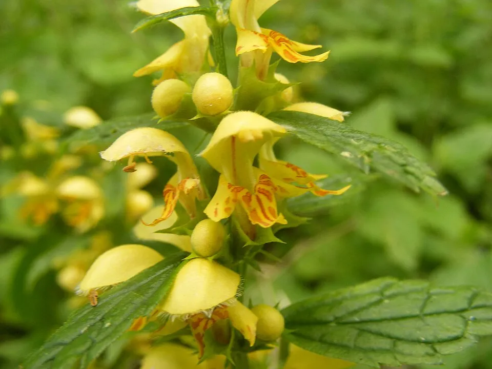
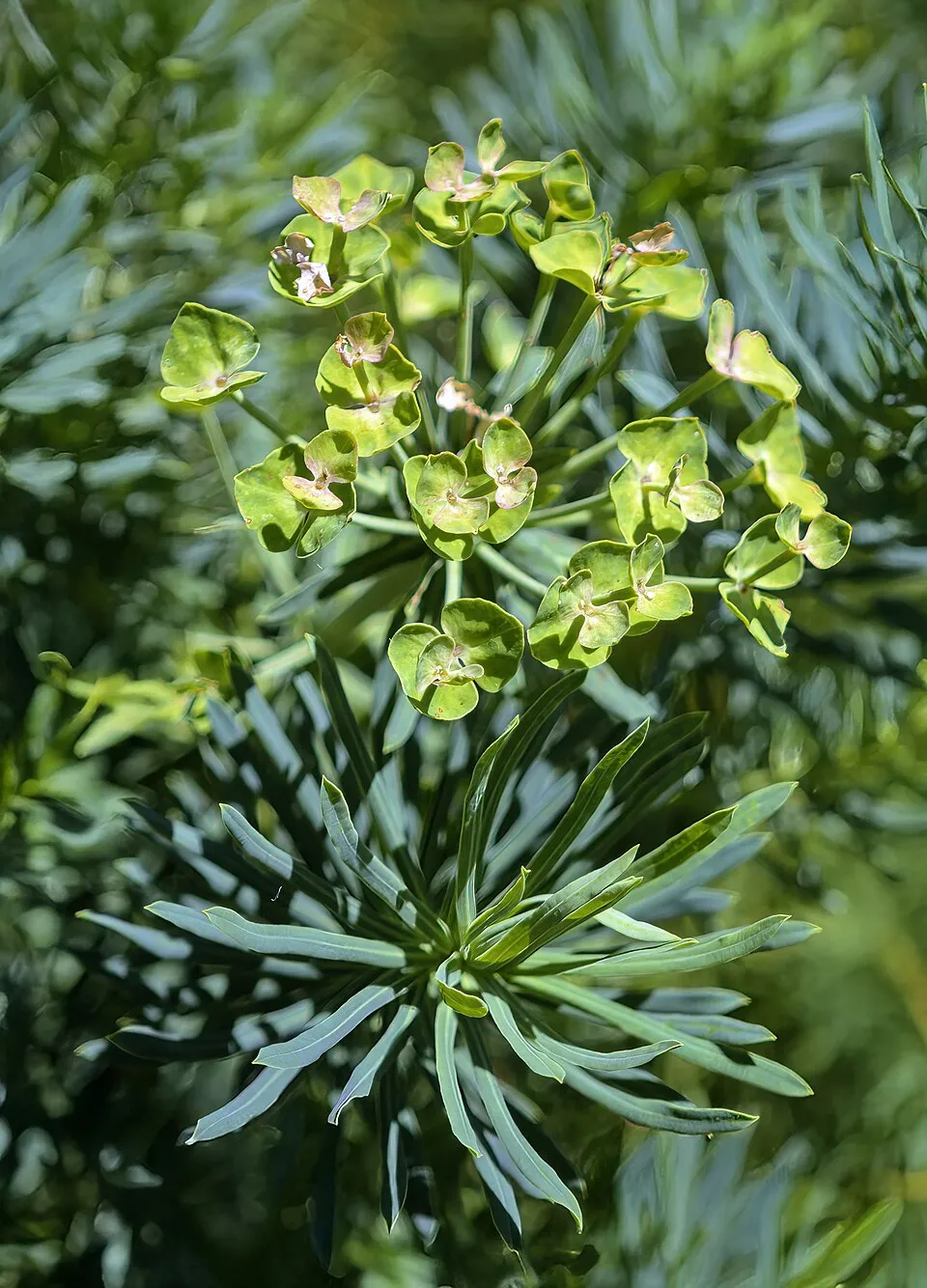
Among the species most often recorded on GBIF are Fagus sylvatica (European Beech), Lamium galeobdolon (Yellow Archangel), Lysimachia vulgaris (Yellow Loosestrife) and Euphorbia cyparissias (Cypress Spurge).
© OpenStreetMap
Download the boundary: GeoJSON · GPX Boundary © OpenStreetMap contributors (ODbL).
Geography
According to the European 1:1 million geological map (EGDI), the bedrock consists mainly of clays and silts (45% of sampled points) and sandstones (45%). These are mostly sedimentary rocks. The geological units date mainly from the Quaternary (45% of sampled points).
Area
- Area
- 25,654 ha
- Median elevation
- 341 m
- Mean slope
- 7°
- Snow cover
- ≈ 55 days a year
- Coordinates
- 49.8192, 21.7089
Terrain: Mapzen Terrain Tiles (SRTM, USGS)
Bedrock
- Clays and silts 45 %
- Sandstones 45 %
- Mudstones 9 %
Sedimentary rocks 100 % · Main age: Quaternary (45%)
Source: EGDI 1:1M geological map (EuroGeoSurveys and national geological surveys), CC BY 4.0 · 11 sampled points within the site.
Main summits
- Sucha Góra585 m
- Królewska Góra564 m
- Strzelnica542 m
- Bardo534 m
- Chełm528 m
- Sokoli Grzbiet526 m
- Kiczora516 m
- Działy515 m
- Czarnówka492 m
- Klonowa489 m
Data © OpenStreetMap contributors (ODbL)
Snow cover measured by satellite
J
F
M
A
M
J
J
A
S
O
N
D
average share of the site under snow · snowiest parts · ≈ 55 days a year
Snow cover: MODIS/Terra MOD10CM v61 (Hall & Riggs, 2021, NASA NSIDC DAAC, doi:10.5067/MODIS/MOD10CM.061), imagery from NASA GIBS (ESDIS); 2015–2025 average, grid of about 5 km.
Natural habitats
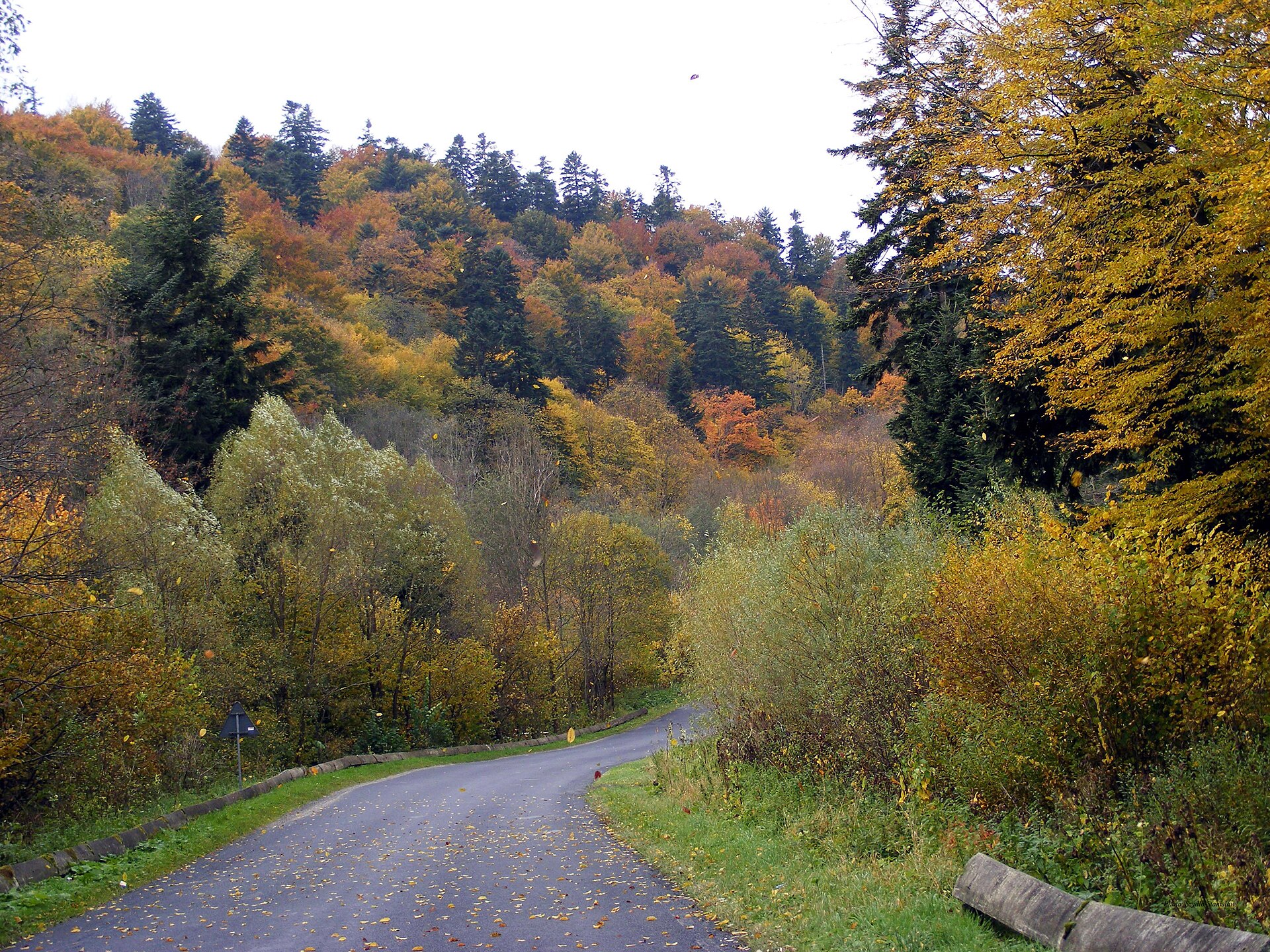
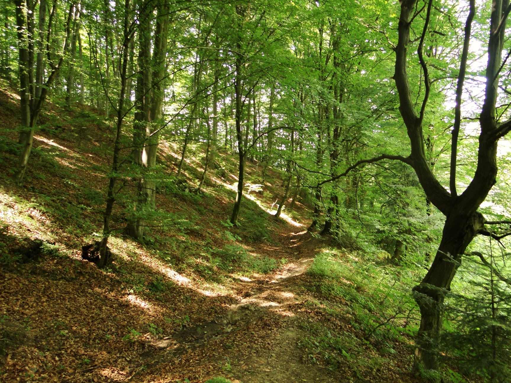
According to CORINE Land Cover (2018), the site is mainly made up of forests (60%) and farmland (37%). Woodland mixes broadleaved and coniferous trees. Elevation ranges from about 250 m to 585 m (highest point: Sucha Góra). The 4 Natura 2000 sites overlapping the area list 9 habitats of European interest (1 priority), the most extensive being Asperulo-Fagetum beech forests, Luzulo-Fagetum beech forests and Holy Cross fir forest (Abietetum polonicum).
Biodiversity
Based on occurrences aggregated by GBIF, several species are regularly recorded within the site. Among the most frequent are Fagus sylvatica (European Beech), Lamium galeobdolon (Yellow Archangel), Lysimachia vulgaris (Yellow Loosestrife) and Euphorbia cyparissias (Cypress Spurge). The full list of documented taxa is shown below. The overlapping Natura 2000 sites list 20 species of European interest: 5 mammals, 2 amphibians, 9 fish and 4 invertebrates.
Habitats of European interest
From the official forms of the 4 Natura 2000 sites overlapping the area (areas reported for each whole site).
- Asperulo-Fagetum beech forests 1,335 ha
- Luzulo-Fagetum beech forests 318 ha
- Holy Cross fir forest (Abietetum polonicum) 190 ha
- Alluvial forests with Alnus glutinosa and Fraxinus excelsior (Alno-Padion, Alnion incanae, Salicion albae) priority 59 ha
- Galio-Carpinetum oak-hornbeam forests 42 ha
- Molinia meadows on calcareous, peaty or clayey-silt-laden soils (Molinion caeruleae) 33 ha
- Lowland hay meadows (Alopecurus pratensis, Sanguisorba officinalis) 31 ha
- Semi-natural dry grasslands and scrubland facies on calcareous substrates (Festuco-Brometalia) (* important orchid sites) 5 ha
and 1 more
Species of European interest
Mammals · 5
Barbastelle (Barbastella barbastellus), Eurasian otter (Lutra lutra), Bechstein's bat (Myotis bechsteinii), Geoffroy's bat (Myotis emarginatus), Greater mouse-eared bat (Myotis myotis)
Amphibians · 2
Yellow-bellied toad (Bombina variegata), Montandon's newt (Triturus montandoni)
Fish · 9
Asp (Aspius aspius), Carpathian Barbel (Barbus carpathicus), Spined loach (Cobitis taenia), European bullhead (Cottus gobio), European brook lamprey (Lampetra planeri), Weatherfish (Misgurnus fossilis), European bitterling (Rhodeus amarus), White-Finned Gudgeon (Romanogobio albipinnatus), Kessler's Gudgeon (Romanogobio kesslerii)
Invertebrates · 4
Large copper (Lycaena dispar), Dusky Large Blue (Maculinea nausithous), Scarce large blue (Maculinea teleius), Thick shelled river mussel (Unio crassus)
Source: Natura 2000 standard data forms (EEA, CC-BY 4.0). Not exhaustive: sensitive species are not published.
Species to look out for



Bird
Great Spotted Woodpecker
Dendrocopos major6 records © Sławomir Staszczuk (info [AT] photoss.net) · CC BY-SA 3.0
Observed species
Occurrences documented via GBIF; they are neither an exhaustive inventory nor proof of current presence.
- European Beech · Fagus sylvatica · 9
- Yellow Archangel · Lamium galeobdolon · 9
- Yellow Loosestrife · Lysimachia vulgaris · 9
- Cypress Spurge · Euphorbia cyparissias · 8
- Great tit · Parus major · 7
- Great Spotted Woodpecker · Dendrocopos major · 6
- Northern Raven · Corvus corax · 6
- Hard Fern · Struthiopteris spicant · 6
- Heather cushion scale · Phyllostroma myrtilli · 5
- Eurasian Nuthatch · Sitta europaea · 5
- Mistle Thrush · Turdus viscivorus · 5
- Hawfinch · Coccothraustes coccothraustes · 5
Records: GBIF.org (CC-BY). Names: Wikidata (CC0), GBIF. Photos: Wikimedia Commons.
Conservation challenges
The primary purpose of the site is to preserve its natural habitats and the biodiversity they support. The species recorded (Biodiversity tab) reflect its ecological value. The designations it holds frame its management and the control of land use.
According to Global Forest Change data (University of Maryland, Global Forest Watch), about 256 ha of tree cover were lost within the boundary between 2001 and 2023 (under 1% of its area), peaking in 2005 and 2023. These losses include logging, storms and fires, and do not account for regrowth. Apart from forest felling and regrowth (about 290 ha in total), land cover remained almost unchanged between 1990 and 2018 according to CORINE Land Cover. At night, the area gives off virtually no artificial light detectable from space (NASA VIIRS Black Marble composite, 2016). Built-up and developed land (buildings, business areas, roads, quarries) covers 1% of the area, and farmland 37% (CORINE Land Cover). According to the Natura 2000 forms, of 9 assessed habitats of European interest, 2 are in average or reduced condition and the rest in good condition. According to the Water Framework Directive assessment (2022 river basin management plans, data 2014–2019), none of the 92 km of rivers assessed within the site reaches good ecological status; they mostly have poor ecological status.
Pressure indicators
Tree cover lost
256 ha
2001–2023 · < 1% of the area
20012023
Fires since 2016
0
No large fire mapped (fires over about 30 ha)
Light at night
< 1%
of the area gives off artificial light visible from space
DarkLit
Built-up land
1%
buildings, business areas, roads, quarries · farmland 37%
Land cover change
< 0.5%
of the area changed, 1990–2018 · CORINE
forest felling and regrowth: 290 ha in total
Rivers and lakes
0%
of the 92 km of assessed rivers in good or high ecological status · WFD 2022
assessments 2014–2019
Sources: Global Forest Change (Hansen et al., University of Maryland, via Global Forest Watch, CC-BY 4.0); EFFIS, European Commission / Copernicus; NASA Black Marble 2016 (public domain); CORINE Land Cover 2018 (Copernicus) or MODIS.
CORINE Land Cover Change 1990–2018: generated using European Union's Copernicus Land Monitoring Service information (EEA), aggregated by Parkavela; DOI 10.2909/f30f1000-7cf8-43bb-872c-5eb093911b24.
Ecological status of water bodies: European Environment Agency, WISE – Water Framework Directive, 3rd river basin management plans (2022), CC BY 4.0. Official national classification, not comparable between countries.
Practical information
Cities and airport
- Rzeszów
25 km as the crow flies - Tarnów
36 km as the crow flies - Airport: Rzeszów-Jasionka (RZE)
33 km as the crow flies
Visitor information
- Ziemia Frysztacka
within the site - Ciekawe miejsca na szlaku edukacji ekologicznej
within the site
Things to see
19 viewpoints · 2 waterfalls · 2 caves
- Czarnorzeki Dział
viewpoint - Trzy Wody
waterfall - Dusiowa Jama
cave - Pomost widokowy nad wodospadem "Trzy wody"
viewpoint - Punkt widokowy na Górę Chełm
viewpoint
Where to stay
2 campsites
Hiking
21 waymarked routes listed, including:
Szlak Trzech PogórzyStrzyżówBardoDębicaRopczyceCzudec
By bike
Transgraniczny Szlak Rowerowy "Beskidzkie Muzea" · 19 km
+ 9 local loops
Signed cycle routes: this does not mean that cycling is allowed on footpaths.
Data © OpenStreetMap contributors (ODbL) · Wikidata (CC0)
Routes © OpenStreetMap contributors (ODbL), via Waymarked Trails
Waymarked hiking routes
Bardo - Frysztak (pieszy Ropczyce - Frysztak )
9 km within the site ↗ 138 m↘ 406 m 251–526 m
Czudec - Brzeżanka (szlak pieszy)
5 km within the site ↗ 36 m↘ 246 m 231–481 m
Czarny Dział - zamek Kamieniec Podzamcze - Czarny Dział (Czarny Dział - zamek Kamieniec)
10.6 km within the site ↗ 399 m↘ 353 m 336–583 m
Tracks © OpenStreetMap contributors (ODbL), clipped to the boundary; elevation gain and profiles computed on the longest section from Mapzen Terrain Tiles (≈ 30 m), indicative only.
Access and visiting
The nearest railway station is Wiśniowa, less than 1 km from the site boundary. Nearest towns of over 50,000 people, as the crow flies: Rzeszów (25 km) and Tarnów (36 km). Nearest airport: Rzeszów-Jasionka (RZE), about 33 km away. About 570,000 people live within 20 km of the site boundary, 230,000 of them within 10 km; some 18,000 people are estimated to live inside (GHSL estimate, 2020). Visitor information on site: Ziemia Frysztacka and Ciekawe miejsca na szlaku edukacji ekologicznej. Waymarked hiking routes listed in OpenStreetMap: 21, including Szlak Trzech Pogórzy, Strzyżów, Bardo and Dębica. A signed cycle route crosses the site: “Transgraniczny Szlak Rowerowy "Beskidzkie Muzea"” (OpenStreetMap). To see: 19 viewpoints, 2 waterfalls and 2 caves, including Czarnorzeki Dział, Trzy Wody, Dusiowa Jama and Pomost widokowy nad wodospadem "Trzy wody". Where to stay: 2 campsites. To plan a visit (access, opening periods, visitor rules), it is best to consult the official information from the managing body and the official website listed in this page's sources.
Source: OpenStreetMap (ODbL), Wikidata (CC0), October 2026.
Built heritage
According to Wikidata, 52 monuments listed in the Polish register of monuments stand within the boundary. Among them are 19 religious buildings, 10 houses and civic buildings and 2 castles and fortifications. Examples include “Church of the Nativity of the Virgin Mary in Oparówka” in Oparówka, “Kamieniec Castle” in Odrzykoń and “Oficyna, XVIII/XIX” in Wiśniowa.
19 religious buildings10 houses and civic buildings2 castles and fortifications
-
Church of the Nativity of the Virgin Mary in Oparówka
Oparówka · 20th c. -
Kamieniec Castle
Odrzykoń -
Oficyna, XVIII/XIX
Wiśniowa -
Dwór w Wiśniowej
Wiśniowa · 17th c. -
Church of the Nativity of the Virgin Mary in Węglówka
Węglówka · 19th c. -
Dom (wieża) mansjonarzy
Łączki Jagiellońskie · 18th c. -
Podziemna komora instalacyjna I
Stępina · 20th c. -
Dwór w Łękach Strzyżowskich
Łęki Strzyżowskie · 19th c.
and 44 more
Source: Wikidata (CC0), monuments in each country’s official heritage protection registers, at national or regional level. Each item links to its Wikidata entry.
When to visit
According to NASA's MODIS satellites (2015–2025 average), snow covers most of the site from December to February, with about 55 snow-covered days a year on average.
Wildlife records calendar
JFMAMJJASOND
Birds
Plants
Monthly records published on GBIF (CC-BY), relative to the busiest month; also reflects observer activity.
Gallery
© Stanislaw Szydlo · CC BY-SA 3.0
© Henryk Bielamowicz · CC BY-SA 4.0
© Jacek Majewski · CC BY-SA 3.0
© PPawel · CC BY-SA 3.0
© Henryk Bielamowicz · CC BY-SA 4.0
© Daniel.zolopa · CC BY 4.0
Sources and licences
- Wikidata: Q962864
- Wikipedia: en.wikipedia.org/wiki/Czarnorzeki-Strzyżów_Landscape_Park
- WDPA: 106897
References
- land.copernicus.eu: land cover, land cover change, sea share · COPERNICUS
- doi.org: population around the site · CC-BY-4.0
- wikidata.org: official area, establishment date, protected heritage, nearby cities and airport, access and peaks, lake depths, places to see · CC0-1.0
- eea.europa.eu: bathing water quality, ecological status of waters · CC-BY-4.0
- en.eurovelo.com: EuroVelo cycle routes · ODbL-1.0
- cycling.waymarkedtrails.org: cycle routes · ODbL-1.0
- opentopodata.org: elevations · PD
- forest-fire.emergency.copernicus.eu: wildfires · COPERNICUS
- globalforestwatch.org: tree cover loss · CC-BY-4.0
- gbif.org: seasonality of sightings, invasive alien species, observed species · CC-BY-4.0
- europe-geology.eu: geology · CC-BY-4.0
- hydrosheds.org: lakes · CC-BY-4.0
- natura2000.eea.europa.eu: Natura 2000 habitats and species · CC-BY-4.0
- openstreetmap.org: official name, access and peaks, places to see · ODbL-1.0
- earthobservatory.nasa.gov: night light · PD
- registry.opendata.aws: detailed relief · PD
- hiking.waymarkedtrails.org: route difficulty · ODbL-1.0
- nsidc.org: snow cover · PD
- wikidata.org: Wikipedia article · CC-BY-SA-4.0
Data © OpenStreetMap contributors (ODbL), Wikidata (CC0) and the sources cited.