Taiwan · Marine
Dongsha Atoll National Park
National park of 353,700 hectares in Taiwan, established in 2007.
Overview
National park of 353,700 hectares in Taiwan, established in 2007.
Dongsha Atoll National Park is located in Taiwan (Asia). It is a predominantly marine area. Established in 2007, it covers about 353,700 hectares.
Frequently asked questions
Where is Dongsha Atoll National Park?
In Taiwan (Asia). Representative point: 20.7167° N, 116.7000° E.
How large is Dongsha Atoll National Park?
About 353,700 hectares (3,537 km²). It is the largest of the 9 national parks in Taiwan covered by Parkavela.
When was Dongsha Atoll National Park established?
In 2007.
What habitats and landscapes does Dongsha Atoll National Park include?
A marine area, with coral reefs.
Which species can be seen in Dongsha Atoll National Park?
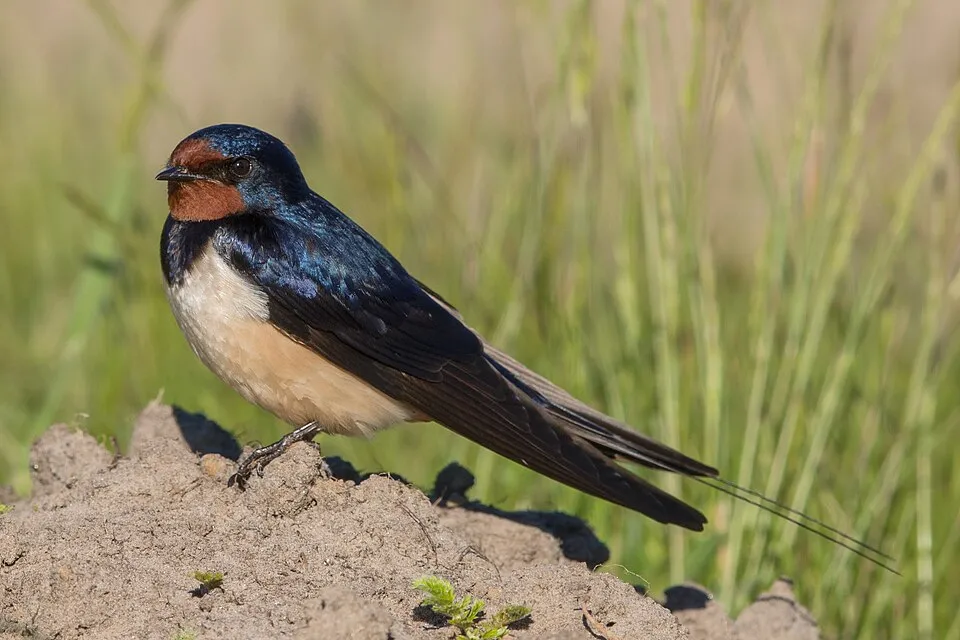
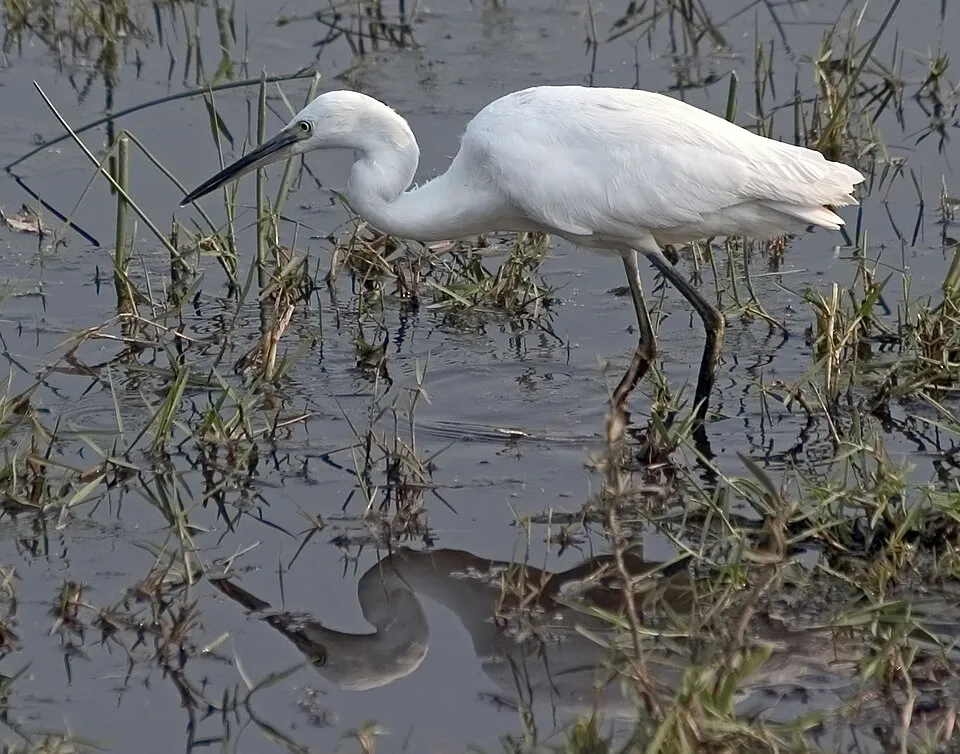
Among the species most often recorded on GBIF are Hirundo rustica (Barn Swallow), Arenaria interpres (Ruddy Turnstone), Amaurornis phoenicurus (White-breasted Waterhen) and Egretta garzetta (Little Egret).
© OpenStreetMap
Download the boundary: GeoJSON · GPX Boundary © OpenStreetMap contributors (ODbL).
Area
- Area
- 353,700 ha
- Coordinates
- 20.7167, 116.7
Natural habitats
The site is almost entirely marine. The seabed reaches about 653 m deep (median depth 316 m; GEBCO bathymetry). Reef-building corals are documented in the area: 125 records published on GBIF.
Biodiversity
Based on occurrences aggregated by GBIF, several species are regularly recorded within the site. Among the most frequent are Hirundo rustica (Barn Swallow), Arenaria interpres (Ruddy Turnstone), Amaurornis phoenicurus (White-breasted Waterhen) and Egretta garzetta (Little Egret). The full list of documented taxa is shown below.
Species to look out for

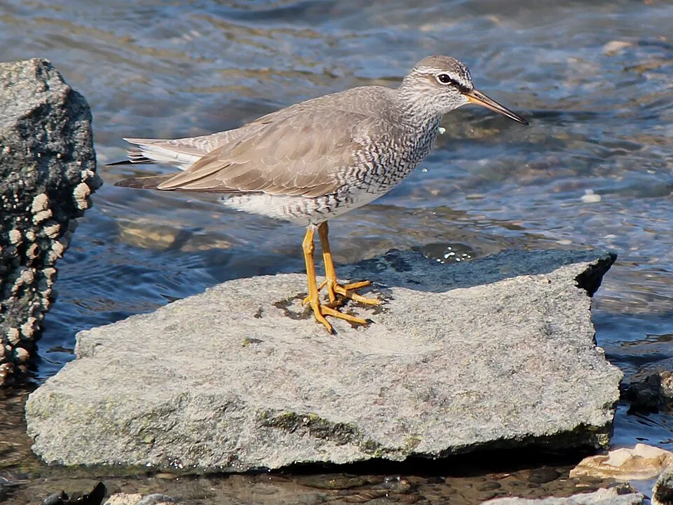
Bird
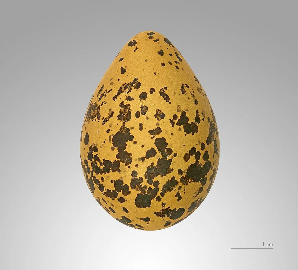
Ruddy Turnstone
Arenaria interpres326 records © Original: neekoh.fi; this edit: MPF · CC BY 2.0

Observed species
Occurrences documented via GBIF; they are neither an exhaustive inventory nor proof of current presence.
- Barn Swallow · Hirundo rustica · 413
- Ruddy Turnstone · Arenaria interpres · 326
- White-breasted Waterhen · Amaurornis phoenicurus · 301
- Little Egret · Egretta garzetta · 248
- Grey-tailed Tattler · Tringa brevipes · 243
- Black-winged Stilt · Himantopus himantopus · 236
- Grey Heron · Ardea cinerea · 227
- Eastern Yellow Wagtail · Motacilla tschutschensis · 216
- Pacific Golden Plover · Pluvialis fulva · 210
- Grey Wagtail · Motacilla cinerea · 193
- Great Egret · Ardea alba · 193
- Brown Shrike · Lanius cristatus · 180
+18 more species
- Common Sandpiper · Actitis hypoleucos · 175
- Intermediate egret · Egretta intermedia · 157
- Common Kestrel · Falco tinnunculus · 155
- White Wagtail · Motacilla alba · 142
- Red-necked Stint · Calidris ruficollis · 141
- Whiskered Tern · Chlidonias hybrida · 137
- Grey Plover · Pluvialis squatarola · 134
- Chinese Pond Heron · Ardeola bacchus · 129
- Common Kingfisher · Alcedo atthis · 128
- Kentish Plover · Charadrius alexandrinus · 128
- Wood Sandpiper · Tringa glareola · 126
- Greater Sand Plover · Charadrius leschenaultii · 119
- Oriental Pratincole · Glareola maldivarum · 109
- Blue Rock Thrush · Monticola solitarius · 109
- Oriental Turtle Dove · Streptopelia orientalis · 109
- Eurasian Whimbrel · Numenius phaeopus · 107
- Little Bunting · Emberiza pusilla · 96
- Sanderling · Calidris alba · 93
Records: GBIF.org (CC-BY). Names: Wikidata (CC0), GBIF. Photos: Wikimedia Commons.
Conservation challenges
The primary purpose of the site is to preserve its natural habitats and the biodiversity they support. The species recorded (Biodiversity tab) reflect its ecological value. Its status as a national park sets the regulatory framework for its protection.
Access and visiting
To plan a visit (access, opening periods, visitor rules), it is best to consult the official information from the managing body and the official website listed in this page's sources.
Wildlife records calendar
JFMAMJJASOND
Birds
Plants
Monthly records published on GBIF (CC-BY), relative to the busiest month; also reflects observer activity.
Gallery
© 美国之音 郑裕文 · Public domain
© WEY · CC BY-SA 4.0
© Pork86 · CC BY-SA 4.0
© Spainsking10 · CC BY-SA 4.0
© Pork86 · CC BY-SA 4.0
© Pork86 · CC BY-SA 4.0
Sources and licences
- Wikidata: Q5296018
- OpenStreetMap: relation 7030137
- Wikipedia: en.wikipedia.org/wiki/Dongsha_Atoll_National_Park
- WDPA: 555512092
References
- registry.opendata.aws: elevation of the reference point · PD
- land.copernicus.eu: land cover · COPERNICUS
- doi.org: population around the site · CC-BY-4.0
- naturalearthdata.com: sea share · PD
- wikidata.org: official area, establishment date, protected heritage, official name, nearby cities and airport, access and peaks, places to see · CC0-1.0
- gbif.org: coral records, seasonality of sightings, observed species · CC-BY-4.0
- gebco.net: depths · PD
- opentopodata.org: elevations · PD
- wikidata.org: Wikipedia article · CC-BY-SA-4.0
Data © OpenStreetMap contributors (ODbL), Wikidata (CC0) and the sources cited.