France · Terrestrial
Espace naturel sensible de l'Île de la Métairie
Protected area of 99 hectares in France.
Overview
Protected area of 99 hectares in France.
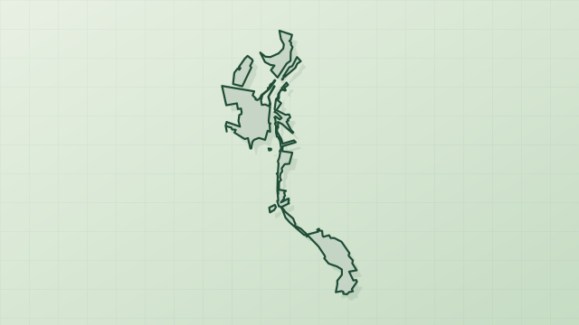
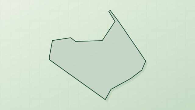
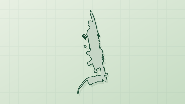
Espace naturel sensible de l'Île de la Métairie is a protected area in France (Europe). It is a predominantly terrestrial area. It covers about 99 hectares.
Protections and designations
Natura 2000 · habitats (SAC)
- La Loire de Candes Saint Martin à Mosnes FR2400548
Natura 2000 · birds (SPA)
- Vallée de la Loire d'Indre-et-Loire FR2410012
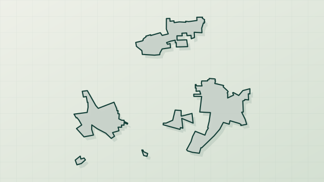
Designated as a protected area. International labels and designations: Natura 2000 network (2 sites). Key dates: first Natura 2000 site under the Birds Directive in 2013 and first Natura 2000 site under the Habitats Directive in 2014.
In our collections
Timeline
-
2013
First Natura 2000 site under the Birds Directive
-
2014
First Natura 2000 site under the Habitats Directive
Sources: Wikidata (CC0) for establishment and international labels; EEA Natura 2000 database (CC-BY 4.0) for site designation dates.
Frequently asked questions
Where is Espace naturel sensible de l'Île de la Métairie?
In France (Europe). Representative point: 47.4050° N, 0.7704° E.
How large is Espace naturel sensible de l'Île de la Métairie?
About 99 hectares. It is the 19th largest of the 32 other protected areas in France covered by Parkavela.
What habitats and landscapes does Espace naturel sensible de l'Île de la Métairie include?
A terrestrial area, with forests.
What rocks lie beneath Espace naturel sensible de l'Île de la Métairie?
According to the BRGM's simplified lithological map, the bedrock consists mainly of sands (100% of sampled points). These are mostly sedimentary rocks.
Which international labels apply to Espace naturel sensible de l'Île de la Métairie?
Natura 2000 network (2 sites).
When is the best time to visit Espace naturel sensible de l'Île de la Métairie?
Best time to visit: from April to September, with average temperatures of 11 to 21 °C and moderate rainfall.
What is the nearest large city to Espace naturel sensible de l'Île de la Métairie?
Nearest towns of over 50,000 people, as the crow flies: Tours (5 km) and Le Mans (78 km). Nearest airport: Tours Val de Loire (TUF), about 4 km away.
How can I reach Espace naturel sensible de l'Île de la Métairie by train?
The nearest railway station is Montlouis, about 2 km from the site boundary.
Where can I get visitor information on site?
Office de Tourisme Intercommunal « Au Pays de Vouvray », Office de Tourisme Montlouis-Vouvray and Espace de vente et informations Rémi.
Are there waymarked hiking trails in Espace naturel sensible de l'Île de la Métairie?
Yes. Waymarked hiking routes listed in OpenStreetMap: 2.
Which species can be seen in Espace naturel sensible de l'Île de la Métairie?
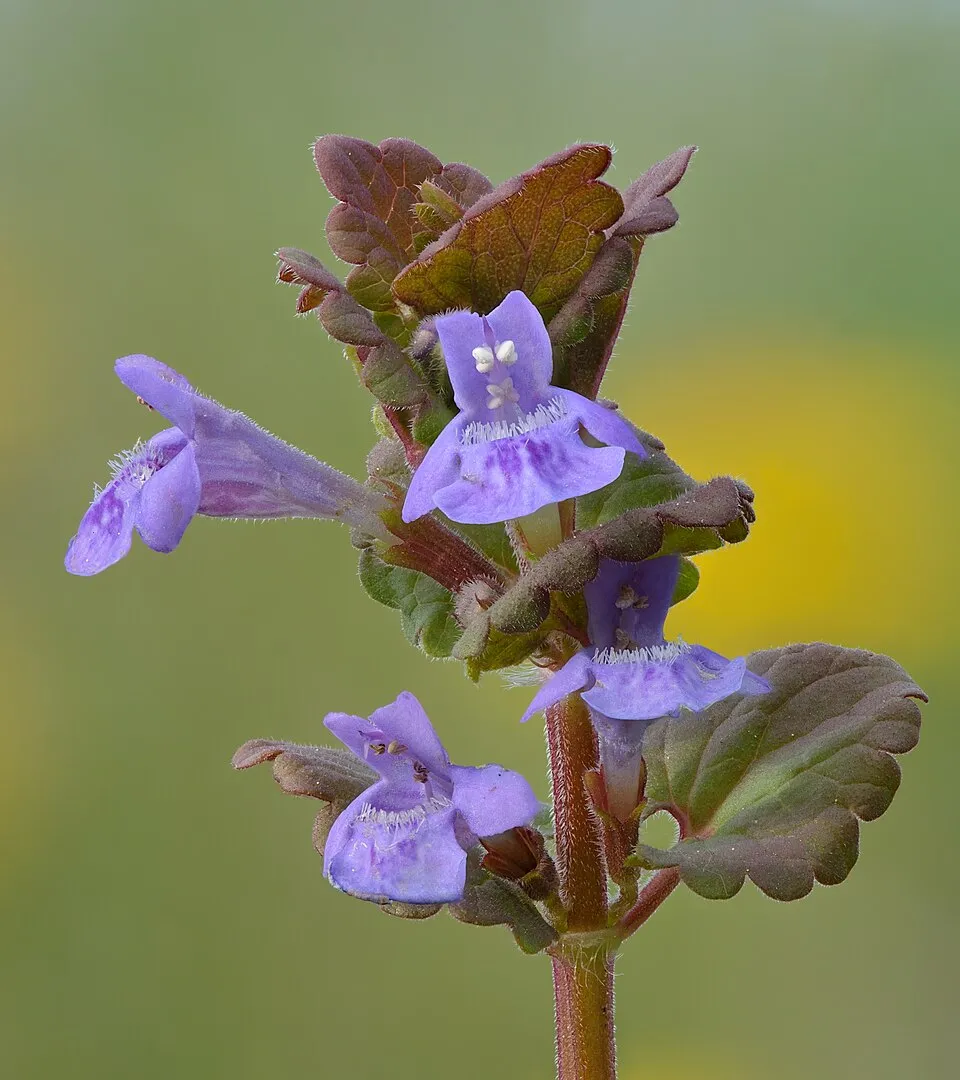
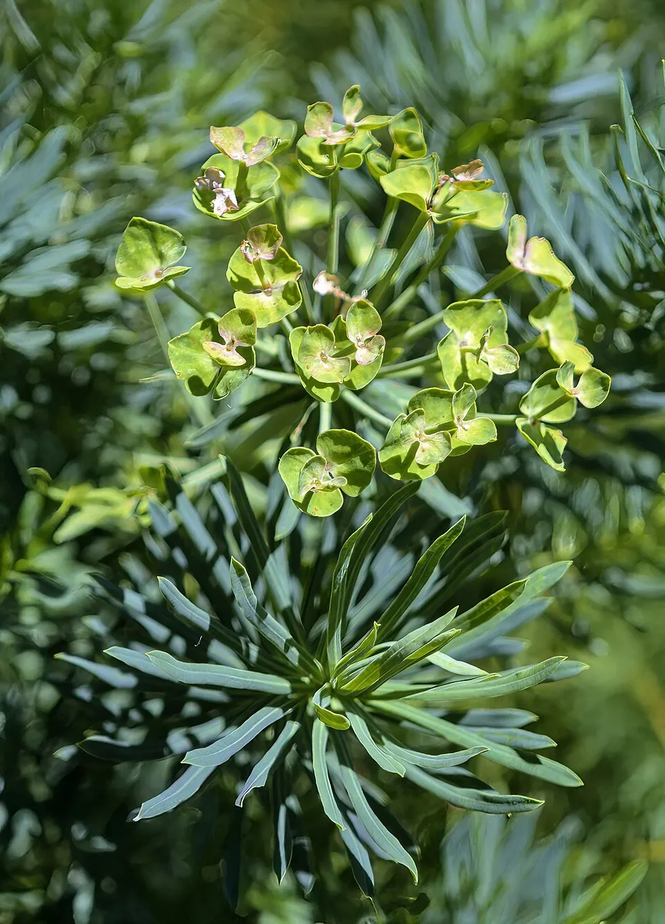
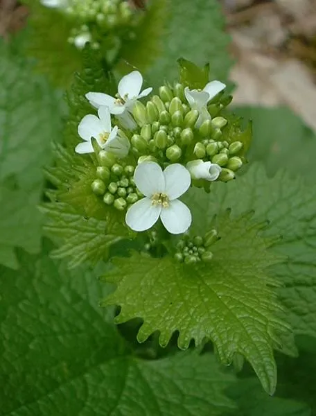
Among the species most often recorded on GBIF are Glechoma hederacea (Ground-ivy), Euphorbia cyparissias (Cypress Spurge), Alliaria petiolata (Garlic Mustard) and Chelidonium majus (Greater Celandine).
© OpenStreetMap
Download the boundary: GeoJSON · GPX Boundary © OpenStreetMap contributors (ODbL).
Geography
The representative point of the site lies at around 50 m above sea level. Over the 1996–2025 period, the mean annual temperature is about 12.6 °C and total precipitation reaches roughly 726 mm per year. The warmest month is usually August, the coolest January, and the wettest October. According to the BRGM's simplified lithological map, the bedrock consists mainly of sands (100% of sampled points). These are mostly sedimentary rocks.
Area
- Area of the boundary
- 99.3 ha
- Elevation
- 50 m
- Coordinates
- 47.405, 0.7704
Bedrock
- Sands 100 %
Sedimentary rocks 100 %
Source: BRGM, simplified lithological map at 1:1,000,000 (Licence Ouverte), 15 points sampled within the boundary.
Climate
● Mean temperature (°C) · ▮ Precipitation (mm)
Source: Copernicus ERA5-Land (C3S, doi:10.24381/cds.68d2bb30), monthly averages 1996–2025 interpolated to the representative point, temperatures adjusted for elevation.
Contains modified Copernicus Climate Change Service information 2026. Neither the European Commission nor ECMWF is responsible for any use that may be made of the Copernicus information or data it contains.
Natural habitats
According to CORINE Land Cover (2018), the site is mainly made up of forests (49%), heath and scrub (34%) and built-up or developed land (11%). Woodland is mostly broadleaved. The 2 Natura 2000 sites overlapping the area list 12 habitats of European interest (3 priority), the most extensive being riparian mixed forests of Quercus robur, Ulmus laevis and Ulmus minor, Fraxinus excelsior or Fraxinus angustifolia, along the great rivers (Ulmenion minoris), alluvial forests with Alnus glutinosa and Fraxinus excelsior (Alno-Padion, Alnion incanae, Salicion albae) and water courses of plain to montane levels with the Ranunculion fluitantis and Callitricho-Batrachion vegetation.
Biodiversity
Based on occurrences aggregated by GBIF, several species are regularly recorded within the site. Among the most frequent are Glechoma hederacea (Ground-ivy), Euphorbia cyparissias (Cypress Spurge), Alliaria petiolata (Garlic Mustard) and Chelidonium majus (Greater Celandine). The full list of documented taxa is shown below. The overlapping Natura 2000 sites list 42 species of European interest: 23 birds, 5 mammals, 9 fish and 5 invertebrates.
Habitats of European interest
From the official forms of the 2 Natura 2000 sites overlapping the area (areas reported for each whole site).
- Riparian mixed forests of Quercus robur, Ulmus laevis and Ulmus minor, Fraxinus excelsior or Fraxinus angustifolia, along the great rivers (Ulmenion minoris) 834 ha
- Alluvial forests with Alnus glutinosa and Fraxinus excelsior (Alno-Padion, Alnion incanae, Salicion albae) priority 598 ha
- Water courses of plain to montane levels with the Ranunculion fluitantis and Callitricho-Batrachion vegetation 161 ha
- Lowland hay meadows (Alopecurus pratensis, Sanguisorba officinalis) 20 ha
- Rivers with muddy banks with Chenopodion rubri p.p. and Bidention p.p. vegetation 15 ha
- Oligotrophic to mesotrophic standing waters with vegetation of the Littorelletea uniflorae and/or of the Isoëto-Nanojuncetea 6 ha
- Semi-natural dry grasslands and scrubland facies on calcareous substrates (Festuco-Brometalia) (* important orchid sites) 4 ha
- Hydrophilous tall herb fringe communities of plains and of the montane to alpine levels 2 ha
and 4 more
Species of European interest
Birds · 23
Common Sandpiper (Actitis hypoleucos) passage breeding wintering, Common Kingfisher (Alcedo atthis) resident, Great Egret (Ardea alba) wintering, Eurasian Stone-curlew (Burhinus oedicnemus) breeding, Ruff (Calidris pugnax) passage, Little Ringed Plover (Charadrius dubius) breeding, Whiskered Tern (Chlidonias hybrida) passage, Black Tern (Chlidonias niger) passage, Black Stork (Ciconia nigra) wintering, Hen Harrier (Circus cyaneus) passage, Montagu's Harrier (Circus pygargus) passage, Black Woodpecker (Dryocopus martius) resident and 11 more
Mammals · 5
Eurasian Beaver (Castor fiber), Geoffroy's bat (Myotis emarginatus), Greater mouse-eared bat (Myotis myotis), Greater Horseshoe Bat (Rhinolophus ferrumequinum), Lesser horseshoe bat (Rhinolophus hipposideros)
Fish · 9
Allis shad (Alosa alosa), Twait shad (Alosa fallax), Spined loach (Cobitis taenia), European bullhead (Cottus gobio), Common Bullhead (Cottus perifretum), European river lamprey (Lampetra fluviatilis), Sea lamprey (Petromyzon marinus), European bitterling (Rhodeus amarus), Atlantic salmon (Salmo salar)
Invertebrates · 5
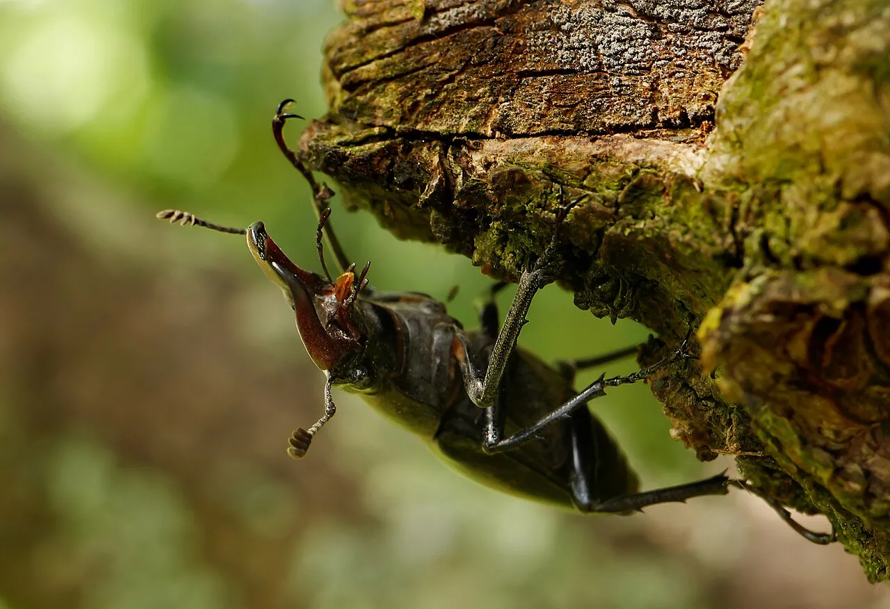
Greater Capricorn Beetle (Cerambyx cerdo), Stag beetle (Lucanus cervus), Large copper (Lycaena dispar), Green snaketail (Ophiogomphus cecilia), Thick shelled river mussel (Unio crassus)
Source: Natura 2000 standard data forms (EEA, CC-BY 4.0). Not exhaustive: sensitive species are not published.
Species to look out for


Observed species
Occurrences documented via GBIF; they are neither an exhaustive inventory nor proof of current presence.
- Ground-ivy · Glechoma hederacea · 21
- Cypress Spurge · Euphorbia cyparissias · 19
- Garlic Mustard · Alliaria petiolata · 18
- Greater Celandine · Chelidonium majus · 17
- Spindle · Euonymus europaeus · 16
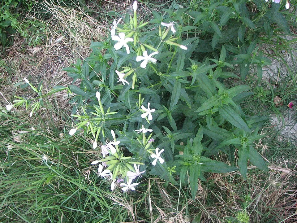
- Soapwort · Saponaria officinalis · 9
- European robin · Erithacus rubecula · 8
- Common Wood Pigeon · Columba palumbus · 8
- Blackthorn · Prunus spinosa · 8
- Traveller's-joy · Clematis vitalba · 8
- Common Stork's-bill · Erodium cicutarium · 8
- Buff-tailed bumblebee · Bombus terrestris · 7
+18 more species
- Eurasian blue tit · Cyanistes caeruleus · 7
- Common Blackbird · Turdus merula · 7
- Cornelian cherry · Cornus mas · 7
- Tansy · Tanacetum vulgare · 7
- Honey bee · Apis mellifera · 6
- Eurasian Blackcap · Sylvia atricapilla · 6
- Eurasian Chaffinch · Fringilla coelebs · 6
- Long-tailed Tit · Aegithalos caudatus · 6
- Birthwort · Aristolochia clematitis · 6
- Hop · Humulus lupulus · 6
- Common Tern · Sterna hirundo · 6
- Silene baccifera · 5
- Trichoferus pallidus · 5
- Red-tailed Bumblebee · Bombus lapidarius · 5
- Great Banded Furrow Bee · Halictus scabiosae · 5
- Roman Snail · Helix pomatia · 5
- Great Spotted Woodpecker · Dendrocopos major · 5
- European Green Woodpecker · Picus viridis · 5
Records: GBIF.org (CC-BY). Names: Wikidata (CC0), GBIF. Photos: Wikimedia Commons.
Conservation challenges
The primary purpose of the site is to preserve its natural habitats and the biodiversity they support. The species recorded (Biodiversity tab) reflect its ecological value. The designations it holds frame its management and the control of land use.
At night, 100% of the area gives off artificial light detectable from space (NASA VIIRS Black Marble composite, 2016). Built-up and developed land (buildings, business areas, roads, quarries) covers 11% of the area (CORINE Land Cover). According to the Natura 2000 forms, of 12 assessed habitats of European interest, 5 are in average or reduced condition and the rest in good condition. Invasive alien species have been recorded within the site since 2000 (GBIF observations), several of them listed as of Union concern. Among them: Ailanthus altissima (Tree-of-heaven), Ludwigia grandiflora (Water primrose) and Physella acuta (Acute Bladder Snail).
Pressure indicators
Fires since 2016
0
No large fire mapped (fires over about 30 ha)
Light at night
100%
of the area gives off artificial light visible from space
DarkLit
Built-up land
11%
buildings, business areas, roads, quarries
Invasive alien species
4
incl. 2 of EU concern · since 2000
 Tree-of-heaven
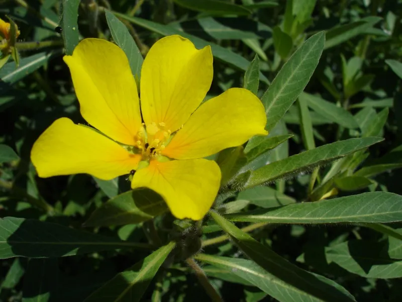 Water primroseEU
 Acute Bladder Snail
 Japanese rose
Photos: Tree-of-heaven © Darkone · CC BY-SA 2.5; Water primrose © Bouba · CC BY-SA 3.0; Acute Bladder Snail © N yotarou · CC BY 2.5; Japanese rose © Vihljun · Public domain
Sources: Global Forest Change (Hansen et al., University of Maryland, via Global Forest Watch, CC-BY 4.0); EFFIS, European Commission / Copernicus; NASA Black Marble 2016 (public domain); CORINE Land Cover 2018 (Copernicus) or MODIS.
Invasive alien species: Global Register of Introduced and Invasive Species (ISSG, CC BY 4.0); Union list, Regulation (EU) 1143/2014 (INBO, CC0); GBIF.org records (CC0 / CC BY 4.0), at least 2 per species.
Practical information
Cities and airport
- Tours
5 km as the crow flies - Le Mans
78 km as the crow flies - Airport: Tours Val de Loire (TUF)
4 km as the crow flies
Visitor information
- Office de Tourisme Intercommunal « Au Pays de Vouvray »
1 km from the site boundary - Office de Tourisme Montlouis-Vouvray
2 km from the site boundary - Espace de vente et informations Rémi
3 km from the site boundary - Business et tourisme Tours Val de Loire
3 km from the site boundary
Parking
3 public car parks listed within the site
Parking de l'Île de la Métairie
Hiking
2 waymarked routes listed
By bike
EV3 / EV6 · 3 km
Signed cycle routes: this does not mean that cycling is allowed on footpaths.
Data © OpenStreetMap contributors (ODbL) · Wikidata (CC0)
Contains information from EuroVelo GPX tracks downloaded from www.EuroVelo.com on 2026-10-22, which is made available here under the Open Database License (ODbL). EuroVelo® is a registered trademark of the ECF. Routes © OpenStreetMap contributors (ODbL), via Waymarked Trails
Waymarked hiking routes
30 Sentier entre Loire et Cher - Saint-Pierre-des-Corps
1.3 km within the site ↗ 0 m↘ 0 m 48–54 m
Tracks © OpenStreetMap contributors (ODbL), clipped to the boundary; elevation gain and profiles computed on the longest section from Mapzen Terrain Tiles (≈ 30 m), indicative only.
Access and visiting
The nearest railway station is Montlouis, about 2 km from the site boundary. Nearest towns of over 50,000 people, as the crow flies: Tours (5 km) and Le Mans (78 km). Nearest airport: Tours Val de Loire (TUF), about 4 km away. About 420,000 people live within 20 km of the site boundary, 290,000 of them within 10 km (GHSL estimate, 2020). This population has grown by about 8% since 2000. Visitor information on site: Office de Tourisme Intercommunal « Au Pays de Vouvray », Office de Tourisme Montlouis-Vouvray and Espace de vente et informations Rémi. Public car parks listed within the site: 3, including Parking de l'Île de la Métairie. Waymarked hiking routes listed in OpenStreetMap: 2. The EuroVelo 3 and EuroVelo 6 cycle routes, which share the same line here, cross the site for about 3 km (EuroVelo). To plan a visit (access, opening periods, visitor rules), it is best to consult the official information from the managing body and the official website listed in this page's sources.
Source: OpenStreetMap (ODbL), Wikidata (CC0), October 2026.
When to visit
Best time to visit: from April to September, with average temperatures of 11 to 21 °C and moderate rainfall. Day length ranges from about 8 h 28 min in December to 15 h 56 min in June. Wildlife records published on GBIF peak for birds (May) and plants (April and May). These peaks also reflect when observers are most active.
Source: Copernicus ERA5-Land (C3S), monthly averages 1996–2025 at the representative point, temperatures adjusted for elevation.
Contains modified Copernicus Climate Change Service information 2026. Neither the European Commission nor ECMWF is responsible for any use that may be made of the Copernicus information or data it contains.
Wildlife records calendar
JFMAMJJASOND
Birds
Plants
Monthly records published on GBIF (CC-BY), relative to the busiest month; also reflects observer activity.
Gallery
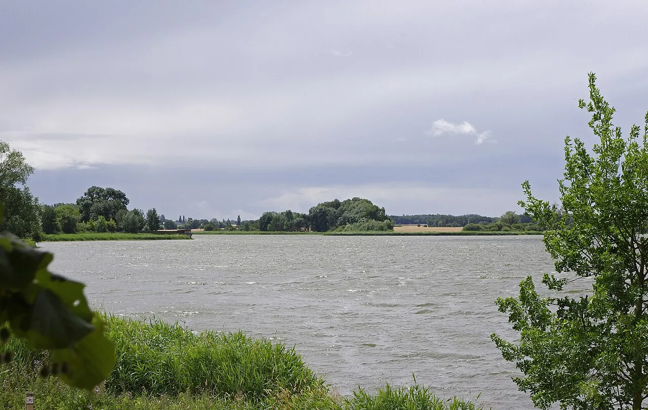
© Frank Vassen from Brussels, Belgium · CC BY 2.0
Sources and licences
- OpenStreetMap: relation 11371612
References
- cds.climate.copernicus.eu: climate · CC-BY-4.0
- registry.opendata.aws: elevation of the reference point, detailed relief · PD
- land.copernicus.eu: land cover, land cover change, sea share · COPERNICUS
- doi.org: population around the site · CC-BY-4.0
- openstreetmap.org: official name, access and peaks, places to see, trail difficulty, wheelchair access · ODbL-1.0
- eea.europa.eu: bathing water quality, ecological status of waters · CC-BY-4.0
- en.eurovelo.com: EuroVelo cycle routes · ODbL-1.0
- cycling.waymarkedtrails.org: cycle routes · ODbL-1.0
- opentopodata.org: elevations · PD
- forest-fire.emergency.copernicus.eu: wildfires · COPERNICUS
- globalforestwatch.org: tree cover loss · CC-BY-4.0
- gbif.org: seasonality of sightings, invasive alien species, observed species · CC-BY-4.0
- infoterre.brgm.fr: geology · LO-2.0
- pop.culture.gouv.fr: protected heritage · LO-2.0
- hydrosheds.org: lakes · CC-BY-4.0
- natura2000.eea.europa.eu: Natura 2000 habitats and species · CC-BY-4.0
- earthobservatory.nasa.gov: night light · PD
- hiking.waymarkedtrails.org: route difficulty · ODbL-1.0
- nsidc.org: snow cover · PD
- wikidata.org: nearby cities and airport, access and peaks, lake depths, places to see · CC0-1.0
Data © OpenStreetMap contributors (ODbL), Wikidata (CC0) and the sources cited.