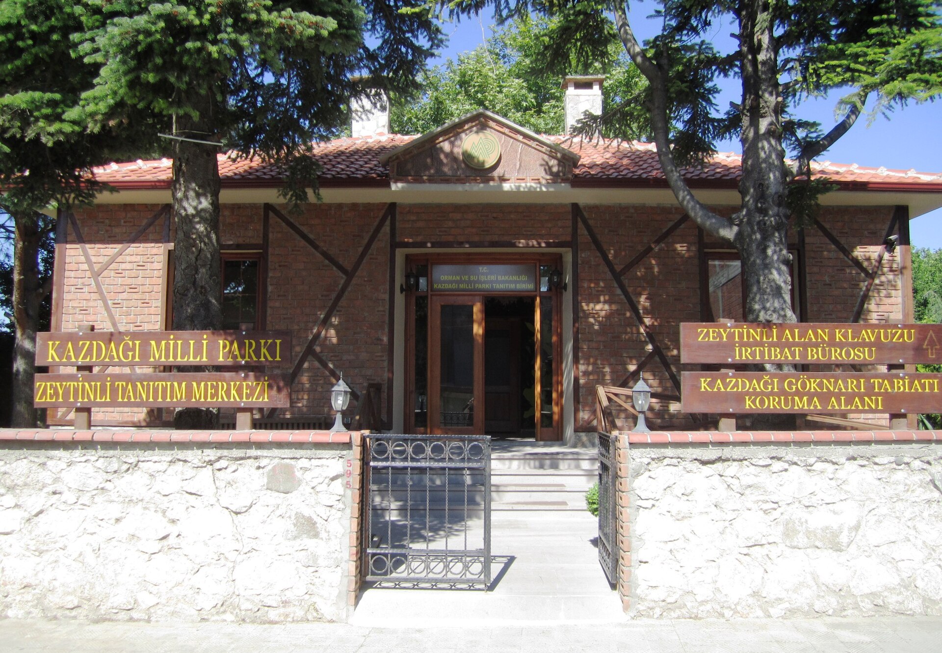
Greece · Mixed
Evros Delta National Park
National park of 12,896 hectares in Greece, established in 1977.
Overview
National park of 12,896 hectares in Greece, established in 1977.
Evros Delta National Park is located in Greece (Europe). It covers both land and sea. Established in 1977, it covers about 12,896 hectares.
Protections and designations
Ramsar site
Natura 2000 · habitats (SAC)
- Delta Evrou kai Dytikos Vrachionas GR1110007
Natura 2000 · birds (SPA)
- Delta Evrou GR1110006
Protected as a national park. International labels and designations: Ramsar site and Natura 2000 network (2 sites). Key dates: established in 1977, first Natura 2000 site under the Birds Directive in 1998 and first Natura 2000 site under the Habitats Directive in 2011.
In our collections
Timeline
-
1977
Established
-
1998
First Natura 2000 site under the Birds Directive
-
2011
First Natura 2000 site under the Habitats Directive
Sources: Wikidata (CC0) for establishment and international labels; EEA Natura 2000 database (CC-BY 4.0) for site designation dates.
Frequently asked questions
Where is Evros Delta National Park?
In Greece (Europe). Representative point: 40.7833° N, 26.0333° E.
How large is Evros Delta National Park?
About 12,896 hectares (129 km²). It is the 11th largest of the 14 national parks in Greece covered by Parkavela. About 2,800 ha are at sea.
When was Evros Delta National Park established?
In 1977.
What habitats and landscapes does Evros Delta National Park include?
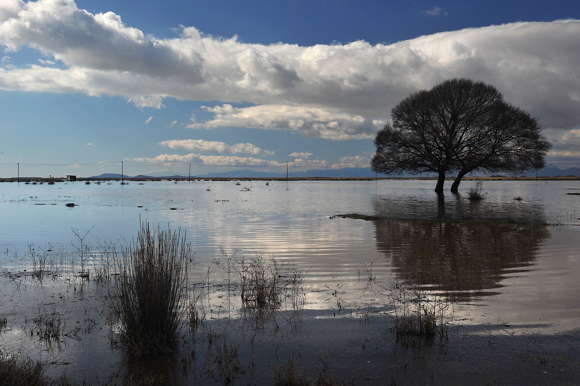
An area spanning land and sea, with wetlands and coasts.
What rocks lie beneath Evros Delta National Park?
According to the European 1:1 million geological map (EGDI), the bedrock consists mainly of unconsolidated deposits (100% of sampled points). These are mostly sedimentary rocks. The geological units date mainly from the Quaternary (100% of sampled points).
Which international labels apply to Evros Delta National Park?
Ramsar site and Natura 2000 network (2 sites).
When is the best time to visit Evros Delta National Park?
Best time to visit: May and June, with average temperatures of 18 to 24 °C and moderate rainfall.
What is there to see in Evros Delta National Park?
Lac Nymfón (Wikidata).
What is the nearest large city to Evros Delta National Park?
Nearest towns of over 50,000 people, as the crow flies: Alexandroupolis (6 km) and Komotini (54 km). Nearest airport: Alexandroupolis International Airport "Democritus" (AXD), less than 1 km away.
How can I reach Evros Delta National Park by train?
The nearest railway station is Ferres, about 2 km from the site boundary.
Which species can be seen in Evros Delta National Park?
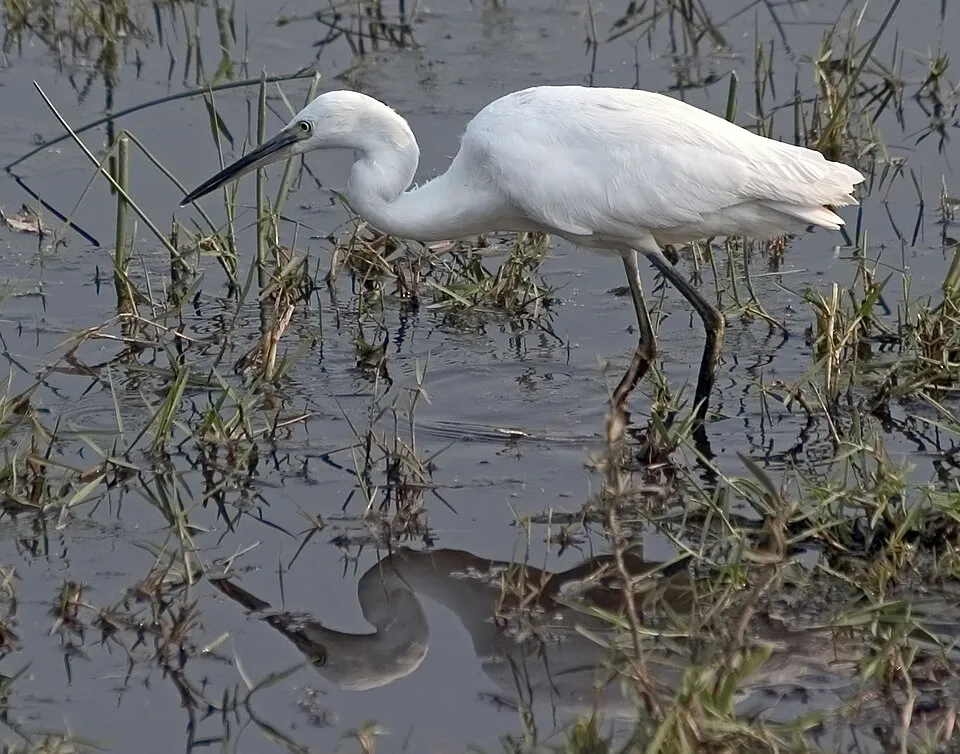
Among the species most often recorded on GBIF are Circus aeruginosus (Western Marsh Harrier), Egretta garzetta (Little Egret), Larus michahellis (Yellow-legged Gull) and Tadorna tadorna (Common Shelduck).
What is the official website of Evros Delta National Park?
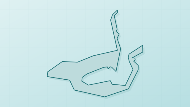
© OpenStreetMap
Download the boundary: GeoJSON · GPX Boundary © OpenStreetMap contributors (ODbL).
Geography
The representative point of the site lies at around 1 m above sea level. Over the 1996–2025 period, the mean annual temperature is about 15.8 °C and total precipitation reaches roughly 686 mm per year. The warmest month is usually July, the coolest January, and the wettest December. According to the European 1:1 million geological map (EGDI), the bedrock consists mainly of unconsolidated deposits (100% of sampled points). These are mostly sedimentary rocks. The geological units date mainly from the Quaternary (100% of sampled points). The site contains 13 lakes larger than 10 ha, totalling 9.3 km² of water (HydroLAKES).
Area
- Area
- 12,896 ha
- Elevation
- 1 m
- Lakes over 10 ha
- 13 (9.3 km²)
- Coordinates
- 40.7833, 26.0333
Lakes: HydroLAKES (Messager et al. 2016, hydrosheds.org, CC BY 4.0) · depths: Wikidata (CC0)
Bedrock
- Unconsolidated deposits 100 %
Sedimentary rocks 100 % · Main age: Quaternary (100%)
Source: EGDI 1:1M geological map (EuroGeoSurveys and national geological surveys), CC BY 4.0 · 16 sampled points within the site.
Climate
● Mean temperature (°C) · ▮ Precipitation (mm)
Source: Copernicus ERA5-Land (C3S, doi:10.24381/cds.68d2bb30), monthly averages 1996–2025 interpolated to the representative point, temperatures adjusted for elevation.
Contains modified Copernicus Climate Change Service information 2026. Neither the European Commission nor ECMWF is responsible for any use that may be made of the Copernicus information or data it contains.
Natural habitats
According to CORINE Land Cover (2018), the land area is mainly made up of farmland (46%), salt marshes and salt pans (29%) and marshes and bogs (15%). The sea covers about 22% of the site. The seabed reaches about 9 m deep (median depth 2 m; GEBCO bathymetry). The land is almost flat (mean slope under 2°). The 2 Natura 2000 sites overlapping the area list 15 habitats of European interest (2 priority), the most extensive being Mediterranean and thermo-Atlantic halophilous scrubs (Sarcocornetea fruticosi), coastal lagoons and southern riparian galleries and thickets (Nerio-Tamaricetea and Securinegion tinctoriae).
Biodiversity
Based on occurrences aggregated by GBIF, several species are regularly recorded within the site. Among the most frequent are Circus aeruginosus (Western Marsh Harrier), Egretta garzetta (Little Egret), Larus michahellis (Yellow-legged Gull) and Tadorna tadorna (Common Shelduck). The full list of documented taxa is shown below. The overlapping Natura 2000 sites list 134 species of European interest: 98 birds, 6 mammals, 17 reptiles, 6 amphibians and 7 fish.
Habitats of European interest
From the official forms of the 2 Natura 2000 sites overlapping the area (areas reported for each whole site).
- Mediterranean and thermo-Atlantic halophilous scrubs (Sarcocornetea fruticosi) 1,810 ha
- Coastal lagoons priority 952 ha
- Southern riparian galleries and thickets (Nerio-Tamaricetea and Securinegion tinctoriae) 810 ha
- Salicornia and other annuals colonizing mud and sand 678 ha
- Water courses of plain to montane levels with the Ranunculion fluitantis and Callitricho-Batrachion vegetation 654 ha
- Mediterranean salt steppes (Limonietalia) priority 357 ha
- Dunes with Euphorbia terracina 211 ha
- Mediterranean salt meadows (Juncetalia maritimi) 137 ha
and 7 more
Species of European interest
Birds · 98
Levant Sparrowhawk (Accipiter brevipes) passage, Common Kingfisher (Alcedo atthis) breeding, Northern Pintail (Anas acuta) wintering, Eurasian Teal (Anas crecca) wintering, Mallard (Anas platyrhynchos) wintering, European White-fronted Goose (Anser albifrons albifrons) wintering, Lesser white-fronted goose (Anser erythropus) wintering, Tawny Pipit (Anthus campestris) breeding, Grey Heron (Ardea cinerea) passage, Short-eared Owl (Asio flammeus) wintering, Common Pochard (Aythya ferina) wintering, Red-breasted Goose (Branta ruficollis) wintering and 86 more
Mammals · 6
Golden jackal (Canis aureus), Short-beaked Common Dolphin (Delphinus delphis), European wildcat (Felis silvestris), Eurasian otter (Lutra lutra), Harbour porpoise (Phocoena phocoena), Common bottlenose dolphin (Tursiops truncatus)
Reptiles · 17
Snake-eyed Skink (Ablepharus kitaibelii), Caspian whipsnake (Dolichophis caspius), Eastern Four-Lined Ratsnake (Elaphe sauromates), European Pond Turtle (Emys orbicularis), Javelin sand boa (Eryx jaculus), Balkan green lizard (Lacerta trilineata), Green lizard (Lacerta viridis), Balkan pond turtle (Mauremys rivulata), Dice snake (Natrix tessellata), Snake-eyed lizard (Ophisops elegans), Dahl's Whip Snake (Platyceps najadum), Balkan Wall Lizard (Podarcis taurica) and 5 more
Amphibians · 6
European fire-bellied toad (Bombina bombina), Green Toad (Bufotes viridis), Common tree frog (Hyla arborea), Syrian Spadefoot (Pelobates syriacus), Marsh frog (Pelophylax ridibundus), Southern crested newt (Triturus karelinii)
Fish · 7
Twait shad (Alosa fallax), Mediterranean killifish (Aphanius fasciatus), Asp (Aspius aspius), Maritsa Barbel (Barbus cyclolepis), Spined Loach (Cobitis taenia Complex), European bitterling (Rhodeus amarus), Balkan Golden Loach (Sabanejewia balcanica)
Source: Natura 2000 standard data forms (EEA, CC-BY 4.0). Not exhaustive: sensitive species are not published.
Species to look out for


Observed species
Occurrences documented via GBIF; they are neither an exhaustive inventory nor proof of current presence.
- Western Marsh Harrier · Circus aeruginosus · 726
- Little Egret · Egretta garzetta · 714
- Yellow-legged Gull · Larus michahellis · 675
- Common Shelduck · Tadorna tadorna · 632
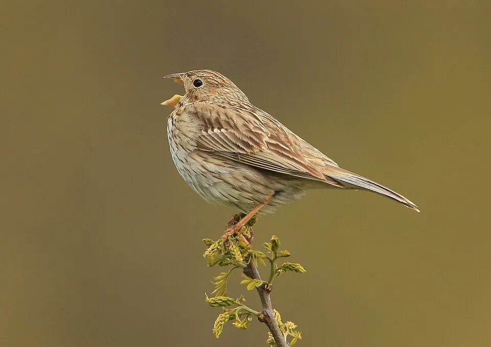
- Corn Bunting · Emberiza calandra · 631
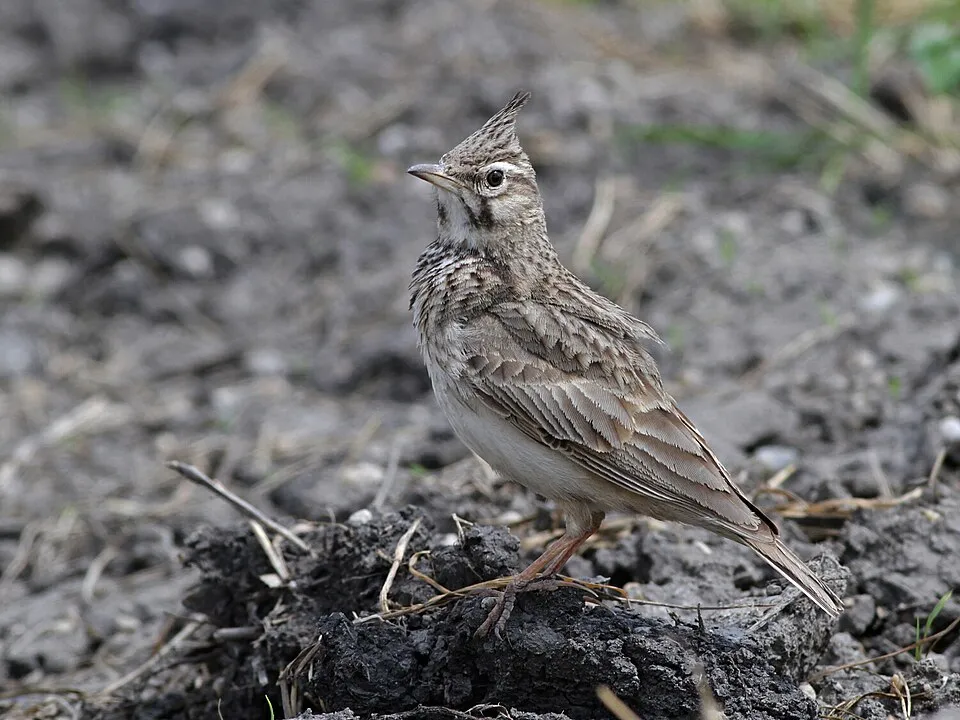
- Crested Lark · Galerida cristata · 629
- Grey Heron · Ardea cinerea · 629
- Great Egret · Ardea alba · 628
- Mallard · Anas platyrhynchos · 603
- Hooded Crow · Corvus cornix · 573
- Great Cormorant · Phalacrocorax carbo · 572
- Eurasian Magpie · Pica pica · 555
+18 more species
- Pygmy Cormorant · Microcarbo pygmaeus · 541
- Eurasian Curlew · Numenius arquata · 527
- Common Kestrel · Falco tinnunculus · 524
- Common Redshank · Tringa totanus · 516
- Cetti's Warbler · Cettia cetti · 513
- Common Greenshank · Tringa nebularia · 479
- Eurasian Spoonbill · Platalea leucorodia · 473
- Eurasian Oystercatcher · Haematopus ostralegus · 469
- Mute Swan · Cygnus olor · 467
- Grey Plover · Pluvialis squatarola · 455
- Common Starling · Sturnus vulgaris · 452
- Black-headed Gull · Chroicocephalus ridibundus · 451
- Common Coot · Fulica atra · 435
- Common Buzzard · Buteo buteo · 429
- Northern Lapwing · Vanellus vanellus · 422
- Dalmatian Pelican · Pelecanus crispus · 422
- House Sparrow · Passer domesticus · 420
- Western Yellow Wagtail · Motacilla flava · 420
Records: GBIF.org (CC-BY). Names: Wikidata (CC0), GBIF. Photos: Wikimedia Commons.
Conservation challenges
The primary purpose of the site is to preserve its natural habitats and the biodiversity they support. The species recorded (Biodiversity tab) reflect its ecological value. The designations it holds frame its management and the control of land use.
According to Global Forest Change data (University of Maryland, Global Forest Watch), about 38 ha of tree cover were lost within the boundary between 2001 and 2023 (under 1% of its area), peaking in 2006 and 2010. These losses include logging, storms and fires, and do not account for regrowth. According to the European CORINE Land Cover inventory (Copernicus), land cover changed on about 356 ha of the site between 1990 and 2018 (2% of its area): open natural land grew by 217 ha, mostly at the expense of open water, while wetlands shrank by 139 ha, mostly giving way to open water. Since 2016, the European EFFIS system (Copernicus) has mapped 2 fires here, burning about 816 ha within the boundary; the largest, in August 2023 (near Τοπική Κοινότητα Δωρικού), covered 810 ha. At night, 1% of the area gives off artificial light detectable from space (NASA VIIRS Black Marble composite, 2016): it ranks among the darkest places in the atlas for this country. According to the Natura 2000 forms, of 14 assessed habitats of European interest, 5 are in excellent condition and the rest in good condition. According to the Water Framework Directive assessment (2022 river basin management plans, data 2018–2021), none of the 49 km of rivers assessed within the site reaches good ecological potential; they mostly have moderate ecological potential. Other assessed water bodies: lagoons and estuaries, 0 of 1 in good ecological status or better; coastal waters, 0 of 1 in good ecological status or better.
Pressure indicators
Tree cover lost
38 ha
2001–2023 · < 1% of the area
20012023
Fires since 2016
816 ha
burned within the boundary (2 mapped fires)
- 2023 · Τοπική Κοινότητα Δωρικού · 810 ha
- 2025 · Δημοτική Κοινότητα Αλεξανδρούπολης · 6 ha
Light at night
1%
of the area gives off artificial light visible from space
DarkLit
Land cover change
356 ha
changed cover, 1990–2018 · CORINE · 2% of the area
- +217 ha · open natural land
- −139 ha · wetlands
Rivers and lakes
0%
of the 49 km of assessed rivers at good or high ecological potential (mostly heavily modified water bodies) · WFD 2022
Lagoons and estuaries: 0 of 1 good or better
Coastal waters: 0 of 1 good or better
assessments 2018–2021
Invasive alien species
2
recorded since 2000
 Mute Swan
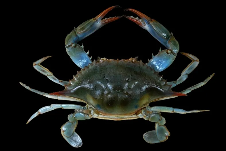 Blue Crab
Photos: Mute Swan © Geni · CC BY-SA 4.0; Blue Crab © The Children's Museum of Indianapolis · CC BY-SA 3.0
Sources: Global Forest Change (Hansen et al., University of Maryland, via Global Forest Watch, CC-BY 4.0); EFFIS, European Commission / Copernicus; NASA Black Marble 2016 (public domain); CORINE Land Cover 2018 (Copernicus) or MODIS.
CORINE Land Cover Change 1990–2018: generated using European Union's Copernicus Land Monitoring Service information (EEA), aggregated by Parkavela; DOI 10.2909/f30f1000-7cf8-43bb-872c-5eb093911b24.
Ecological status of water bodies: European Environment Agency, WISE – Water Framework Directive, 3rd river basin management plans (2022), CC BY 4.0. Official national classification, not comparable between countries.
Invasive alien species: Global Register of Introduced and Invasive Species (ISSG, CC BY 4.0); Union list, Regulation (EU) 1143/2014 (INBO, CC0); GBIF.org records (CC0 / CC BY 4.0), at least 2 per species.
Practical information
Cities and airport
- Alexandroupolis
6 km as the crow flies - Komotini
54 km as the crow flies - Airport: Alexandroupolis International Airport "Democritus" (AXD)
< 1 km as the crow flies
Data © OpenStreetMap contributors (ODbL) · Wikidata (CC0)
Access and visiting
The nearest railway station is Ferres, about 2 km from the site boundary. Nearest towns of over 50,000 people, as the crow flies: Alexandroupolis (6 km) and Komotini (54 km). Nearest airport: Alexandroupolis International Airport "Democritus" (AXD), less than 1 km away. About 110,000 people live within 20 km of the site boundary, 75,000 of them within 10 km; some 460 people are estimated to live inside (GHSL estimate, 2020). To see: Lac Nymfón. To plan a visit (access, opening periods, visitor rules), it is best to consult the official information from the managing body and the official website listed in this page's sources.
Source: OpenStreetMap (ODbL), Wikidata (CC0), October 2026.
When to visit
Best time to visit: May and June, with average temperatures of 18 to 24 °C and moderate rainfall. Day length ranges from about 9 h 16 min in December to 15 h 05 min in June. Wildlife records published on GBIF peak for birds (May), plants (May), butterflies and moths (April and May) and dragonflies (May and June). These peaks also reflect when observers are most active.
Source: Copernicus ERA5-Land (C3S), monthly averages 1996–2025 at the representative point, temperatures adjusted for elevation.
Contains modified Copernicus Climate Change Service information 2026. Neither the European Commission nor ECMWF is responsible for any use that may be made of the Copernicus information or data it contains.
Wildlife records calendar
JFMAMJJASOND
Birds
Plants
Butterflies & moths
Dragonflies
Monthly records published on GBIF (CC-BY), relative to the busiest month; also reflects observer activity.
Gallery
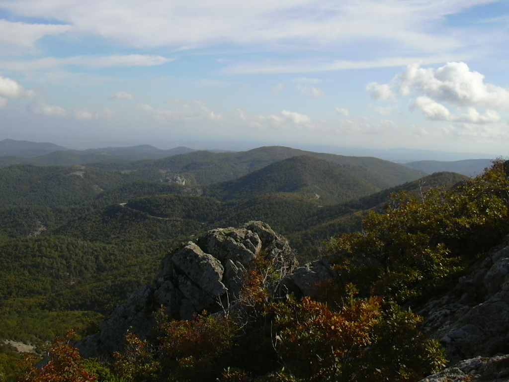
© Evrodelta · CC BY-SA 4.0
© Konstantinos Gkourloumenos · CC BY-SA 4.0
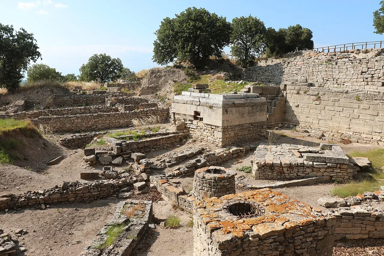
© T. Charisis · CC BY-SA 4.0
© Marina-AthinaX · CC BY-SA 4.0
© Georgios86 · CC BY-SA 3.0
© Marina-AthinaX · CC BY-SA 4.0
Sources and licences
- Wikidata: Q12876743
- Official website: http://www.evros-delta.gr/en
- Wikipedia: fr.wikipedia.org/wiki/Parc_national_du_delta_de_l'Évros
- WDPA: 15178
References
- cds.climate.copernicus.eu: climate · CC-BY-4.0
- registry.opendata.aws: elevation of the reference point, detailed relief · PD
- land.copernicus.eu: land cover, land cover change, sea share · COPERNICUS
- doi.org: population around the site · CC-BY-4.0
- wikidata.org: official area, establishment date, protected heritage, nearby cities and airport, access and peaks, lake depths, places to see, official website · CC0-1.0
- eea.europa.eu: bathing water quality, ecological status of waters · CC-BY-4.0
- en.eurovelo.com: EuroVelo cycle routes · ODbL-1.0
- cycling.waymarkedtrails.org: cycle routes · ODbL-1.0
- gebco.net: depths · PD
- opentopodata.org: elevations · PD
- forest-fire.emergency.copernicus.eu: wildfires · COPERNICUS
- globalforestwatch.org: tree cover loss · CC-BY-4.0
- gbif.org: seasonality of sightings, invasive alien species, observed species · CC-BY-4.0
- europe-geology.eu: geology · CC-BY-4.0
- hydrosheds.org: lakes · CC-BY-4.0
- natura2000.eea.europa.eu: Natura 2000 habitats and species · CC-BY-4.0
- openstreetmap.org: official name, access and peaks, trail difficulty · ODbL-1.0
- earthobservatory.nasa.gov: night light · PD
- nsidc.org: snow cover · PD
- wikidata.org: Wikipedia article · CC-BY-SA-4.0
Data © OpenStreetMap contributors (ODbL), Wikidata (CC0) and the sources cited.