Serbia · Terrestrial
Jegrička Nature Park
Nature park of 1,114 hectares in Serbia, established in 2003.
Overview
Nature park of 1,114 hectares in Serbia, established in 2003.
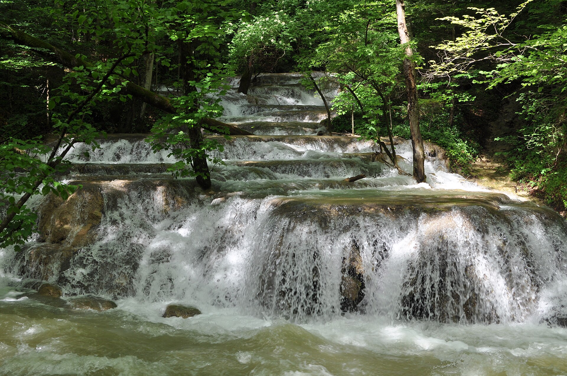
Jegrička Nature Park is located in Serbia (Europe). It is a predominantly terrestrial area. Established in 2003, it covers about 1,114 hectares.
Frequently asked questions
Where is Jegrička Nature Park?
In Serbia (Europe). Representative point: 45.3950° N, 20.1100° E.
How large is Jegrička Nature Park?
About 1,114 hectares (11 km²). It is the 5th largest of the 5 nature parks in Serbia covered by Parkavela.
When was Jegrička Nature Park established?
In 2003.
What habitats and landscapes does Jegrička Nature Park include?
A terrestrial area, with freshwater.
When is the best time to visit Jegrička Nature Park?
Best time to visit: from July to October, with average temperatures of 13 to 24 °C and moderate rainfall.
What is the nearest large city to Jegrička Nature Park?
Nearest towns of over 50,000 people, as the crow flies: Zrenjanin (14 km) and Novi Sad (21 km). Nearest airport: Belgrade Nikola Tesla (BEG), about 63 km away.
How can I reach Jegrička Nature Park by train?
The nearest railway station is Novi Sad, about 21 km from the site boundary.
Are there waymarked hiking trails in Jegrička Nature Park?
Yes. Waymarked hiking routes listed in OpenStreetMap: 1, including Obalom Jegricke.
Which species can be seen in Jegrička Nature Park?
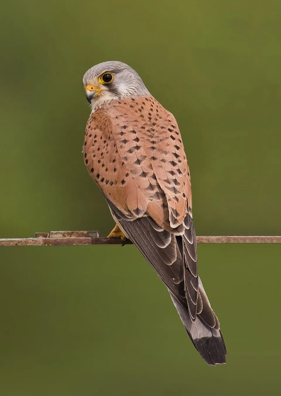
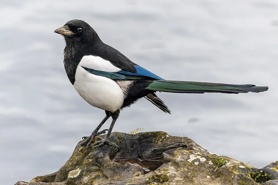
Among the species most often recorded on GBIF are Falco tinnunculus (Common Kestrel), Ardea cinerea (Grey Heron), Cygnus olor (Mute Swan) and Pica pica (Eurasian Magpie).
© OpenStreetMap
Download the boundary: GeoJSON · GPX Boundary © OpenStreetMap contributors (ODbL).
Geography
The representative point of the site lies at around 71 m above sea level. Over the 1996–2025 period, the mean annual temperature is about 12.8 °C and total precipitation reaches roughly 649 mm per year. The warmest month is usually July, the coolest January, and the wettest June. The site contains one lake larger than 10 ha, totalling 2.2 km² of water (HydroLAKES).
Area
- Area
- 1,114 ha
- Elevation
- 71 m
- Lakes over 10 ha
- 1 (2.2 km²)
- Coordinates
- 45.395, 20.11
Lakes: HydroLAKES (Messager et al. 2016, hydrosheds.org, CC BY 4.0) · depths: Wikidata (CC0)
Climate
● Mean temperature (°C) · ▮ Precipitation (mm)
Source: Copernicus ERA5-Land (C3S, doi:10.24381/cds.68d2bb30), monthly averages 1996–2025 interpolated to the representative point, temperatures adjusted for elevation.
Contains modified Copernicus Climate Change Service information 2026. Neither the European Commission nor ECMWF is responsible for any use that may be made of the Copernicus information or data it contains.
Natural habitats
According to CORINE Land Cover (2018), the site is mainly made up of farmland (68%) and lakes and rivers (23%). The land is almost flat (mean slope under 2°).
Biodiversity
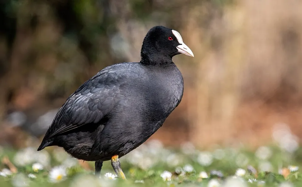
Based on occurrences aggregated by GBIF, several species are regularly recorded within the site. Among the most frequent are Falco tinnunculus (Common Kestrel), Ardea cinerea (Grey Heron), Cygnus olor (Mute Swan) and Pica pica (Eurasian Magpie). The full list of documented taxa is shown below.
Species to look out for



Bird
Hooded Crow
Corvus cornix12 records © Ricardo Tulio Gandelman from Rio de Janeiro, Brazil · CC BY 2.0
Observed species
Occurrences documented via GBIF; they are neither an exhaustive inventory nor proof of current presence.
- Common Kestrel · Falco tinnunculus · 17
- Grey Heron · Ardea cinerea · 15
- Mute Swan · Cygnus olor · 14
- Eurasian Magpie · Pica pica · 13
- Common Coot · Fulica atra · 12
- Hooded Crow · Corvus cornix · 12
- Mallard · Anas platyrhynchos · 11
- Rook · Corvus frugilegus · 10
- Eurasian Collared Dove · Streptopelia decaocto · 10
- Black-headed Gull · Chroicocephalus ridibundus · 10
- Whiskered Tern · Chlidonias hybrida · 9
- Rock Dove · Columba livia · 9
+18 more species
- House Sparrow · Passer domesticus · 9
- Common Starling · Sturnus vulgaris · 9
- Western Marsh Harrier · Circus aeruginosus · 8
- Great Egret · Ardea alba · 8
- Northern Lapwing · Vanellus vanellus · 7
- Great Crested Grebe · Podiceps cristatus · 7
- Eurasian Tree Sparrow · Passer montanus · 7
- Common Buzzard · Buteo buteo · 6
- Great Reed Warbler · Acrocephalus arundinaceus · 6
- Yellow-legged Gull · Larus michahellis · 6
- Purple Heron · Ardea purpurea · 5
- Common Wood Pigeon · Columba palumbus · 5
- Barn Swallow · Hirundo rustica · 5
- Black-crowned night heron · Nycticorax nycticorax · 3
- Little Grebe · Tachybaptus ruficollis · 3
- Eurasian Penduline Tit · Remiz pendulinus · 3
- Common Blackbird · Turdus merula · 3
- Reed Bunting · Emberiza schoeniclus · 3
Records: GBIF.org (CC-BY). Names: Wikidata (CC0), GBIF. Photos: Wikimedia Commons.
Conservation challenges
The primary purpose of the site is to preserve its natural habitats and the biodiversity they support. The species recorded (Biodiversity tab) reflect its ecological value. Its status as a nature park sets the regulatory framework for its protection.
According to the European CORINE Land Cover inventory (Copernicus), land cover changed on about 17 ha of the site between 1990 and 2018 (1% of its area). At night, 13% of the area gives off artificial light detectable from space (NASA VIIRS Black Marble composite, 2016). Built-up and developed land (buildings, business areas, roads, quarries) covers 2% of the area, and farmland 68% (CORINE Land Cover).
Pressure indicators
Tree cover lost
5 ha
2001–2023 · < 1% of the area
20012023
Fires since 2016
0
No large fire mapped (fires over about 30 ha)
Light at night
13%
of the area gives off artificial light visible from space
DarkLit
Built-up land
2%
buildings, business areas, roads, quarries · farmland 68%
Land cover change
17 ha
changed cover, 1990–2018 · CORINE · 1% of the area
Sources: Global Forest Change (Hansen et al., University of Maryland, via Global Forest Watch, CC-BY 4.0); EFFIS, European Commission / Copernicus; NASA Black Marble 2016 (public domain); CORINE Land Cover 2018 (Copernicus) or MODIS.
CORINE Land Cover Change 1990–2018: generated using European Union's Copernicus Land Monitoring Service information (EEA), aggregated by Parkavela; DOI 10.2909/f30f1000-7cf8-43bb-872c-5eb093911b24.
Practical information
Cities and airport
- Zrenjanin
14 km as the crow flies - Novi Sad
21 km as the crow flies - Airport: Belgrade Nikola Tesla (BEG)
63 km as the crow flies
Hiking
1 waymarked routes listed, including:
Obalom Jegricke
Data © OpenStreetMap contributors (ODbL) · Wikidata (CC0)
Waymarked hiking routes
Tracks © OpenStreetMap contributors (ODbL), clipped to the boundary; elevation gain and profiles computed on the longest section from Mapzen Terrain Tiles (≈ 30 m), indicative only.
Access and visiting
The nearest railway station is Novi Sad, about 21 km from the site boundary. Nearest towns of over 50,000 people, as the crow flies: Zrenjanin (14 km) and Novi Sad (21 km). Nearest airport: Belgrade Nikola Tesla (BEG), about 63 km away. About 410,000 people live within 20 km of the site boundary, 110,000 of them within 10 km; some 1,100 people are estimated to live inside (GHSL estimate, 2020). Waymarked hiking routes listed in OpenStreetMap: 1, including Obalom Jegricke. To plan a visit (access, opening periods, visitor rules), it is best to consult the official information from the managing body and the official website listed in this page's sources.
Source: OpenStreetMap (ODbL), Wikidata (CC0), October 2026.
When to visit
Best time to visit: from July to October, with average temperatures of 13 to 24 °C and moderate rainfall. Day length ranges from about 8 h 44 min in December to 15 h 39 min in June. Wildlife records published on GBIF peak for birds (May and June). These peaks also reflect when observers are most active.
Source: Copernicus ERA5-Land (C3S), monthly averages 1996–2025 at the representative point, temperatures adjusted for elevation.
Contains modified Copernicus Climate Change Service information 2026. Neither the European Commission nor ECMWF is responsible for any use that may be made of the Copernicus information or data it contains.
Wildlife records calendar
JFMAMJJASOND
Birds
Monthly records published on GBIF (CC-BY), relative to the busiest month; also reflects observer activity.
Gallery
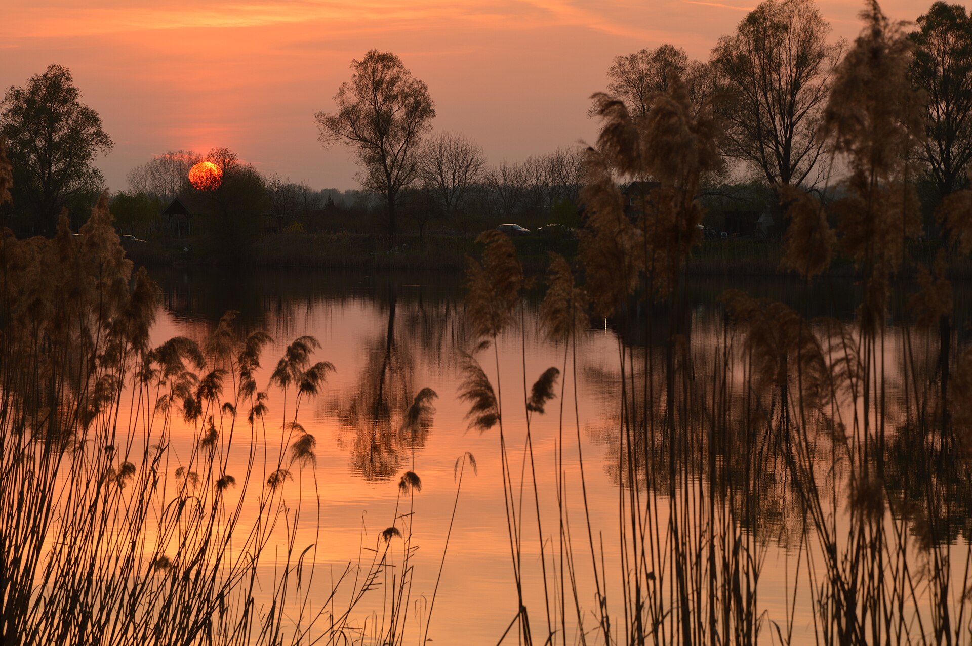
© mediaportal.vojvodina.gov.rs · CC BY-SA 3.0
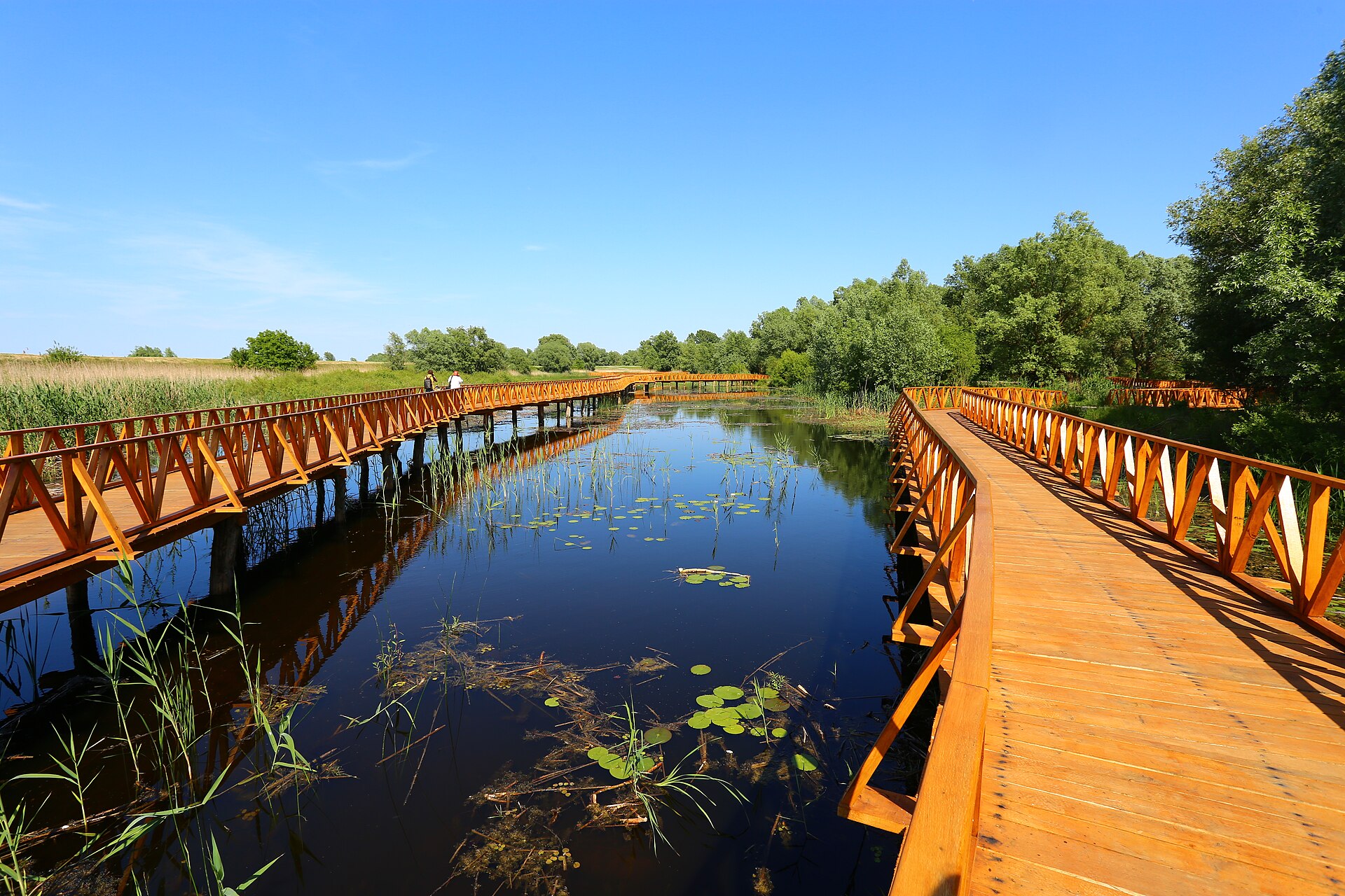
© J3ssica Dav · CC BY-SA 4.0
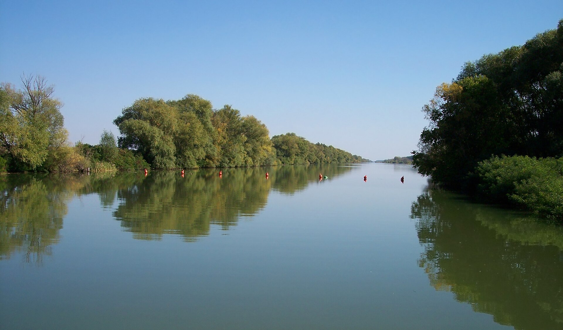
© NenaMat · CC BY-SA 4.0
© J3ssica Dav · CC BY-SA 4.0
© NenaMat · CC BY-SA 4.0
© J3ssica Dav · CC BY-SA 4.0
Sources and licences
- Wikidata: Q12757017
- OpenStreetMap: relation 21178249
- Wikipedia: en.wikipedia.org/wiki/Jegrička_Nature_Park
- WDPA: 16406
References
- cds.climate.copernicus.eu: climate · CC-BY-4.0
- registry.opendata.aws: elevation of the reference point, detailed relief · PD
- land.copernicus.eu: land cover, land cover change, sea share · COPERNICUS
- doi.org: population around the site · CC-BY-4.0
- wikidata.org: official area, establishment date, protected heritage, nearby cities and airport, access and peaks, lake depths, places to see · CC0-1.0
- eea.europa.eu: bathing water quality · CC-BY-4.0
- en.eurovelo.com: EuroVelo cycle routes · ODbL-1.0
- cycling.waymarkedtrails.org: cycle routes · ODbL-1.0
- opentopodata.org: elevations · PD
- forest-fire.emergency.copernicus.eu: wildfires · COPERNICUS
- globalforestwatch.org: tree cover loss · CC-BY-4.0
- gbif.org: seasonality of sightings, invasive alien species, observed species · CC-BY-4.0
- hydrosheds.org: lakes · CC-BY-4.0
- openstreetmap.org: official name, access and peaks, trail difficulty · ODbL-1.0
- earthobservatory.nasa.gov: night light · PD
- hiking.waymarkedtrails.org: route difficulty · ODbL-1.0
- nsidc.org: snow cover · PD
- wikidata.org: Wikipedia article · CC-BY-SA-4.0
Data © OpenStreetMap contributors (ODbL), Wikidata (CC0) and the sources cited.