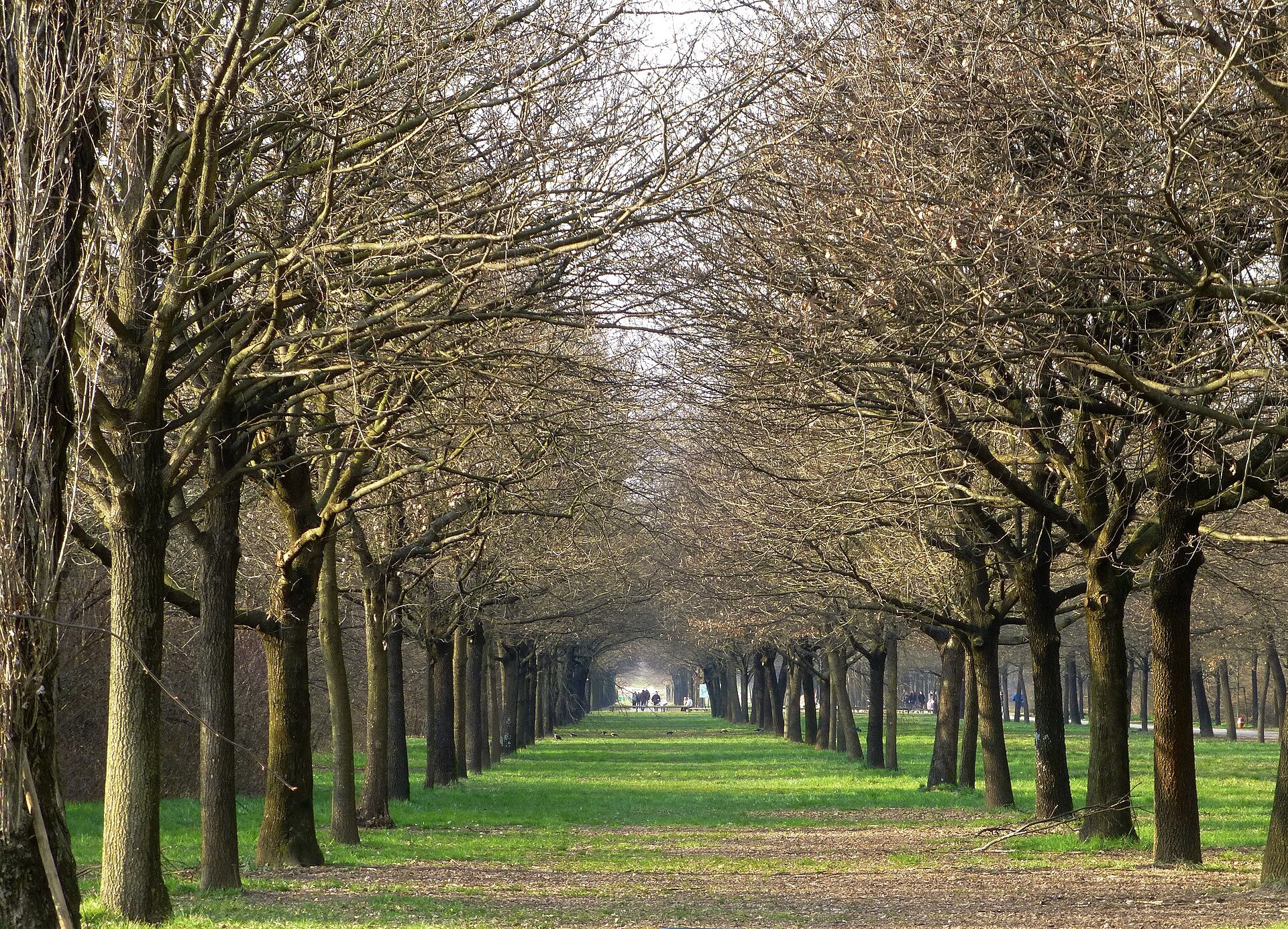
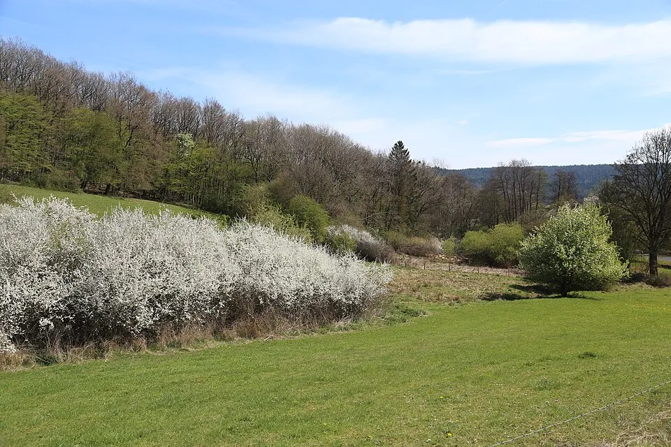
Italy · Terrestrial
North Milan Park
Regional nature park of 640 hectares in Italy, established in 1975.
Overview
Regional nature park of 640 hectares in Italy, established in 1975.
North Milan Park is a regional nature park in Italy (Europe). It is a predominantly terrestrial area. Established in 1975, it covers about 640 hectares.
In our collections
Frequently asked questions
Where is North Milan Park?
In Italy (Europe). Representative point: 45.5330° N, 9.1972° E.
How large is North Milan Park?
About 640 hectares (6 km²). It is the 113th largest of the 128 regional parks in Italy covered by Parkavela.
When was North Milan Park established?
In 1975.
What habitats and landscapes does North Milan Park include?
A terrestrial area, where land cover is dominated by built-up or developed land (68%).
What rocks lie beneath North Milan Park?
According to the European 1:1 million geological map (EGDI), the bedrock consists mainly of unconsolidated deposits (100% of sampled points). These are mostly sedimentary rocks. The geological units date mainly from the Quaternary (100% of sampled points).
When is the best time to visit North Milan Park?
Best time to visit: from April to October, with average temperatures of 12 to 24 °C and moderate rainfall.
What is there to see in North Milan Park?
1 viewpoint, 5 lakes and ponds and 1 bird hide, including Laghetto Leopardi, Laghetto Oxy.gen, Laghetto Parco Nord and Lago Nord di Cinisello Balsamo (OpenStreetMap).
Are there historic monuments in North Milan Park?
Yes. According to Wikidata, 11 monuments protected as Italian national cultural heritage stand within the boundary. For example: “Church San Vincenzo Martire” in Cormano, “Teatrino Breda” in Sesto San Giovanni and “Torre dell'acquedotto” in Cusano Milanino.
What is the nearest large city to North Milan Park?
Nearest towns of over 50,000 people, as the crow flies: Cinisello Balsamo (0.2 km) and Sesto San Giovanni (0.9 km). Nearest airport: Linate (LIN), about 9 km away.
How can I reach North Milan Park by train?
The nearest railway station is Milan-Porta Garibaldi, about 3 km from the site boundary.
Where can I get visitor information on site?
Oggetti smarriti, Pro Loco Cormano and Porta Nuova Infopoint.
Are there waymarked hiking trails in North Milan Park?
Yes. Waymarked hiking routes listed in OpenStreetMap: 1.
Which species can be seen in North Milan Park?
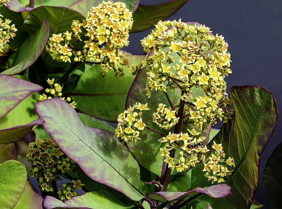
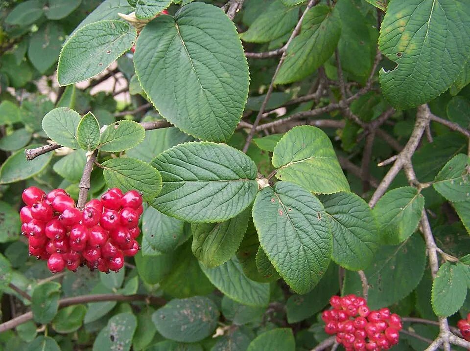
Among the species most often recorded on GBIF are Prunus spinosa (Blackthorn), Cotinus coggygria (European smoketree), Viburnum lantana (Wayfaring-tree) and Corvus cornix (Hooded Crow).
What is the official website of North Milan Park?
© OpenStreetMap
Download the boundary: GeoJSON · GPX Boundary © OpenStreetMap contributors (ODbL).
Geography
The representative point of the site lies at around 144 m above sea level. Over the 1996–2025 period, the mean annual temperature is about 13.1 °C and total precipitation reaches roughly 1,235 mm per year. The warmest month is usually July, the coolest January, and the wettest November. According to the European 1:1 million geological map (EGDI), the bedrock consists mainly of unconsolidated deposits (100% of sampled points). These are mostly sedimentary rocks. The geological units date mainly from the Quaternary (100% of sampled points).
Area
- Area
- 640 ha
- Elevation
- 144 m
- Coordinates
- 45.533, 9.1972
Bedrock
- Unconsolidated deposits 100 %
Sedimentary rocks 100 % · Main age: Quaternary (100%)
Source: EGDI 1:1M geological map (EuroGeoSurveys and national geological surveys), CC BY 4.0 · 15 sampled points within the site.
Climate
● Mean temperature (°C) · ▮ Precipitation (mm)
Source: Copernicus ERA5-Land (C3S, doi:10.24381/cds.68d2bb30), monthly averages 1996–2025 interpolated to the representative point, temperatures adjusted for elevation.
Contains modified Copernicus Climate Change Service information 2026. Neither the European Commission nor ECMWF is responsible for any use that may be made of the Copernicus information or data it contains.
Natural habitats
According to CORINE Land Cover (2018), the site is mainly made up of built-up or developed land (68%) and farmland (32%). The land is almost flat (mean slope under 2°).
Biodiversity
Based on occurrences aggregated by GBIF, several species are regularly recorded within the site. Among the most frequent are Prunus spinosa (Blackthorn), Cotinus coggygria (European smoketree), Viburnum lantana (Wayfaring-tree) and Corvus cornix (Hooded Crow). The full list of documented taxa is shown below.
Species to look out for

Bird
Hooded Crow
Corvus cornix68 records © Ricardo Tulio Gandelman from Rio de Janeiro, Brazil · CC BY 2.0

Observed species
Occurrences documented via GBIF; they are neither an exhaustive inventory nor proof of current presence.
- Blackthorn · Prunus spinosa · 175
- European smoketree · Cotinus coggygria · 153
- Wayfaring-tree · Viburnum lantana · 91
- Hooded Crow · Corvus cornix · 68
- Dogwood · Cornus sanguinea · 64
- Japanese rose · Rosa rugosa · 62
- Cornelian cherry · Cornus mas · 59
- Common Moorhen · Gallinula chloropus · 54
- Yellow Iris · Iris pseudacorus · 50
- Staghorn sumac · Rhus typhina · 49
- Mallard · Anas platyrhynchos · 48
- Nettle Tree · Celtis australis · 42
+18 more species
- Common Blackbird · Turdus merula · 41
- Hazel · Corylus avellana · 39
- Spindle · Euonymus europaeus · 37
- Rock Dove · Columba livia · 35
- Bird Cherry · Prunus padus · 30
- Great tit · Parus major · 28
- Eurasian Chaffinch · Fringilla coelebs · 26
- Long-tailed Tit · Aegithalos caudatus · 26
- Fly honeysuckle · Lonicera xylosteum · 25
- Rose-ringed Parakeet · Psittacula krameri · 24
- Hornbeam · Carpinus betulus · 24
- Common Starling · Sturnus vulgaris · 23
- Great Spotted Woodpecker · Dendrocopos major · 22
- Common Wood Pigeon · Columba palumbus · 22
- Field Maple · Acer campestre · 22
- Goldenrain tree · Koelreuteria paniculata · 22
- European Hop-hornbeam · Ostrya carpinifolia · 19
- European robin · Erithacus rubecula · 18
Records: GBIF.org (CC-BY). Names: Wikidata (CC0), GBIF. Photos: Wikimedia Commons.
Conservation challenges
The primary purpose of the site is to preserve its natural habitats and the biodiversity they support. The species recorded (Biodiversity tab) reflect its ecological value. Its status as a regional nature park sets the regulatory framework for its protection.
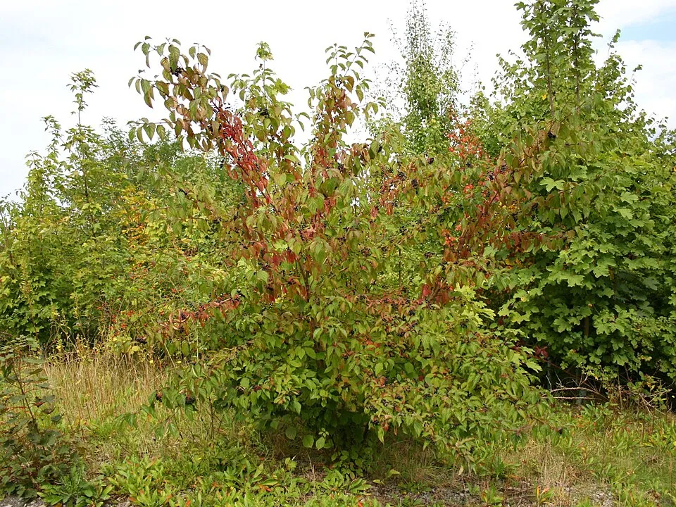
According to the European CORINE Land Cover inventory (Copernicus), land cover changed on about 10 ha of the site between 1990 and 2018 (1% of its area): built-up land grew by 10 ha, mostly at the expense of farmland, while farmland shrank by 10 ha, mostly giving way to built-up land. At night, 100% of the area gives off artificial light detectable from space (NASA VIIRS Black Marble composite, 2016). Built-up and developed land (buildings, business areas, roads, quarries) covers 68% of the area, and farmland 32% (CORINE Land Cover). According to the Water Framework Directive assessment (2022 river basin management plans, data 2016–2019), the only river assessed within the site has poor ecological status. Since 2000, 18 invasive alien species have been recorded within the site (GBIF observations), 3 of them listed as of Union concern under EU Regulation 1143/2014. Among them: Trachemys scripta (Pond slider), Ailanthus altissima (Tree-of-heaven) and Gambusia holbrooki (Eastern mosquitofish).
Pressure indicators
Tree cover lost
1 ha
2001–2023 · < 1% of the area
20012023
Fires since 2016
0
No large fire mapped (fires over about 30 ha)
Light at night
100%
of the area gives off artificial light visible from space
DarkLit
Built-up land
68%
buildings, business areas, roads, quarries · farmland 32%
Land cover change
10 ha
changed cover, 1990–2018 · CORINE · 1% of the area
- +10 ha · built-up land
- −10 ha · farmland
Rivers and lakes
0%
of the 4 km of assessed rivers in good or high ecological status · WFD 2022
assessments 2016–2019
Invasive alien species
18
incl. 3 of EU concern · since 2000
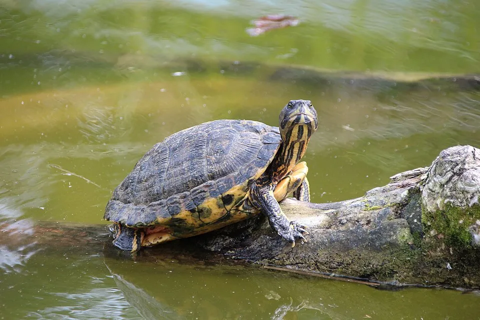 Pond sliderEU
 Tree-of-heavenEU
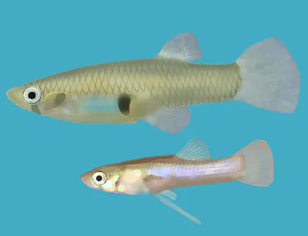 Eastern mosquitofishEU
Japanese rose
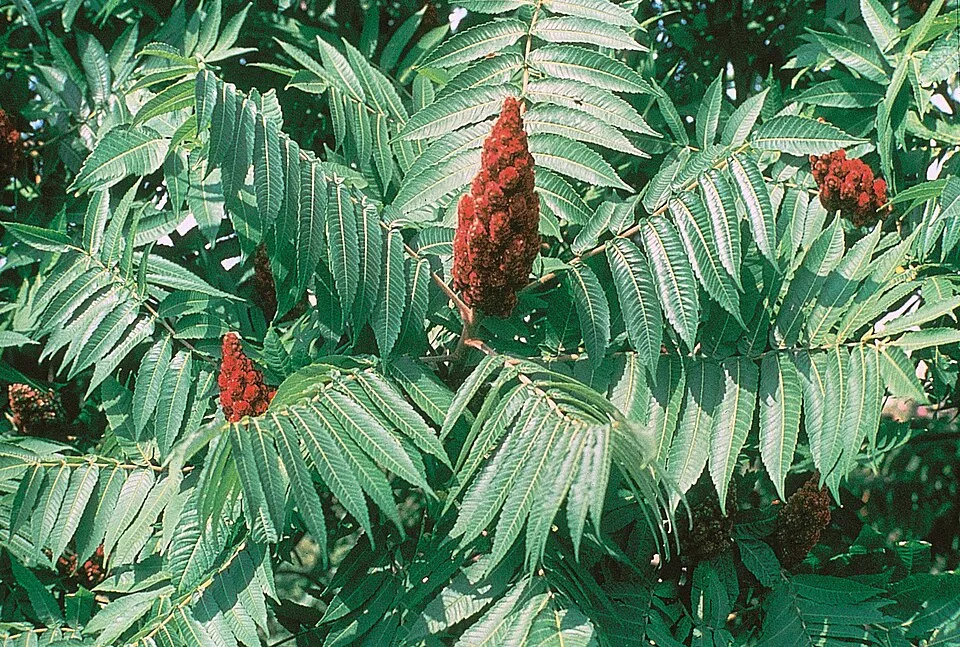 Staghorn sumac
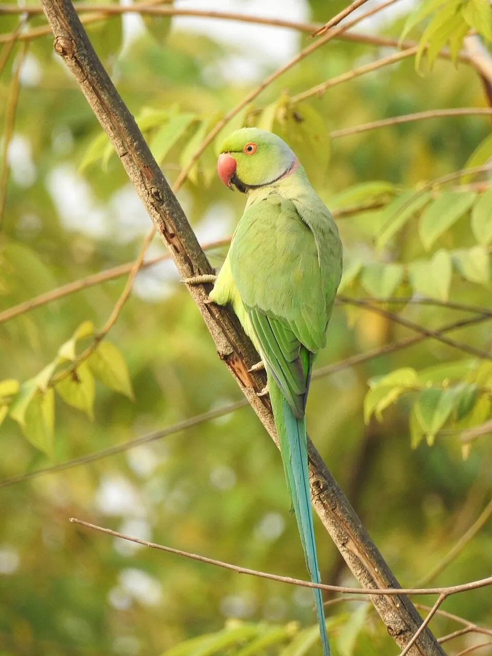 Rose-ringed Parakeet
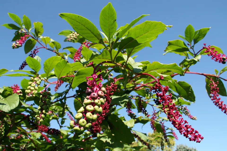 American pokeweed
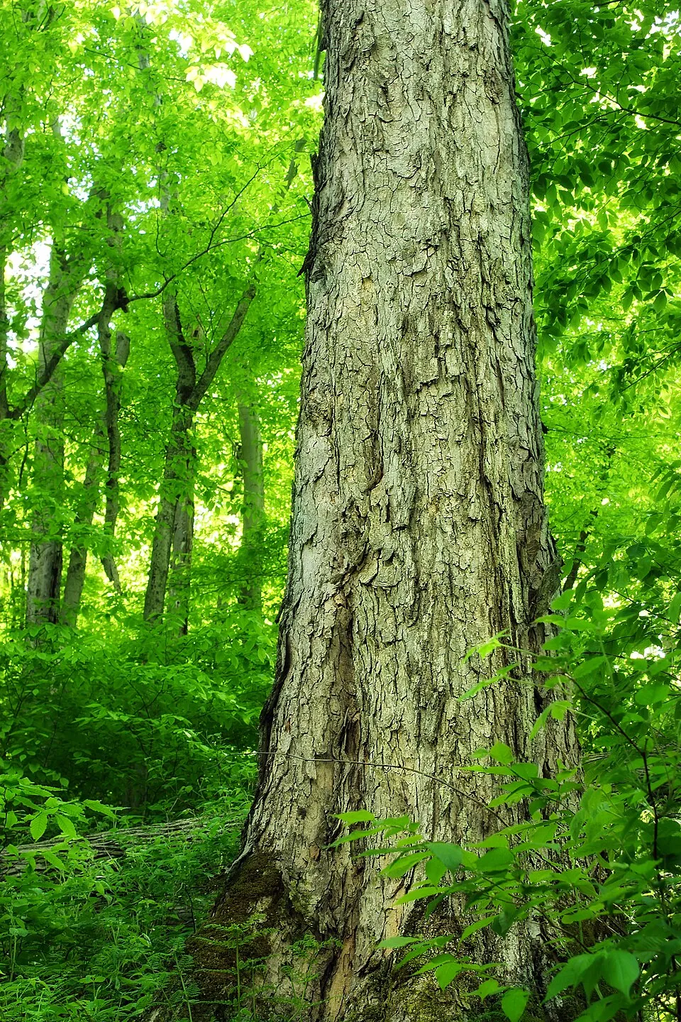 Northern red oak
Photos: Pond slider © Viva.Chelonia · CC BY 2.0; Tree-of-heaven © Darkone · CC BY-SA 2.5; Eastern mosquitofish © Osado · CC BY-SA 3.0; Japanese rose © Vihljun · Public domain; Staghorn sumac © Muggwort17 · Public domain; Rose-ringed Parakeet © Afsarnayakkan · CC BY 3.0; American pokeweed © Huw Williams (Huwmanbeing) · Public domain; Northern red oak © Nicholas A. Tonelli from Northeast Pennsylvania, USA · CC BY 2.0
Sources: Global Forest Change (Hansen et al., University of Maryland, via Global Forest Watch, CC-BY 4.0); EFFIS, European Commission / Copernicus; NASA Black Marble 2016 (public domain); CORINE Land Cover 2018 (Copernicus) or MODIS.
CORINE Land Cover Change 1990–2018: generated using European Union's Copernicus Land Monitoring Service information (EEA), aggregated by Parkavela; DOI 10.2909/f30f1000-7cf8-43bb-872c-5eb093911b24.
Ecological status of water bodies: European Environment Agency, WISE – Water Framework Directive, 3rd river basin management plans (2022), CC BY 4.0. Official national classification, not comparable between countries.
Invasive alien species: Global Register of Introduced and Invasive Species (ISSG, CC BY 4.0); Union list, Regulation (EU) 1143/2014 (INBO, CC0); GBIF.org records (CC0 / CC BY 4.0), at least 2 per species.
Practical information
Cities and airport
- Cinisello Balsamo
< 1 km as the crow flies - Sesto San Giovanni
< 1 km as the crow flies - Airport: Linate (LIN)
9 km as the crow flies
Visitor information
- Oggetti smarriti
3 km from the site boundary - Pro Loco Cormano
< 1 km from the site boundary - Porta Nuova Infopoint
3 km from the site boundary - Sala blu
3 km from the site boundary
Things to see
1 viewpoint · 5 lakes and ponds · 1 bird hide
- Laghetto Leopardi
lake or pond - Laghetto Oxy.gen
lake or pond - Laghetto Parco Nord
lake or pond - Lago Nord di Cinisello Balsamo
lake or pond - Lago di Niguarda
lake or pond
Hiking
1 waymarked routes listed
By bike
+ 4 local loops
Signed cycle routes: this does not mean that cycling is allowed on footpaths.
Data © OpenStreetMap contributors (ODbL) · Wikidata (CC0)
Routes © OpenStreetMap contributors (ODbL), via Waymarked Trails
Waymarked hiking routes
Tracks © OpenStreetMap contributors (ODbL), clipped to the boundary; elevation gain and profiles computed on the longest section from Mapzen Terrain Tiles (≈ 30 m), indicative only.
Access and visiting
The nearest railway station is Milan-Porta Garibaldi, about 3 km from the site boundary. Nearest towns of over 50,000 people, as the crow flies: Cinisello Balsamo (0.2 km) and Sesto San Giovanni (0.9 km). Nearest airport: Linate (LIN), about 9 km away. About 4 million people live within 20 km of the site boundary, 2.5 million of them within 10 km; some 46,000 people are estimated to live inside (GHSL estimate, 2020). This population has grown by about 8% since 2000. Visitor information on site: Oggetti smarriti, Pro Loco Cormano and Porta Nuova Infopoint. Waymarked hiking routes listed in OpenStreetMap: 1. To see: 1 viewpoint, 5 lakes and ponds and 1 bird hide, including Laghetto Leopardi, Laghetto Oxy.gen, Laghetto Parco Nord and Lago Nord di Cinisello Balsamo. To plan a visit (access, opening periods, visitor rules), it is best to consult the official information from the managing body and the official website listed in this page's sources.
Source: OpenStreetMap (ODbL), Wikidata (CC0), October 2026.
Built heritage
According to Wikidata, 11 monuments protected as Italian national cultural heritage stand within the boundary. Among them are 3 houses and civic buildings, 2 religious buildings and 1 bridge, lighthouse, mill or working building. Examples include “Church San Vincenzo Martire” in Cormano, “Teatrino Breda” in Sesto San Giovanni and “Torre dell'acquedotto” in Cusano Milanino.
3 houses and civic buildings2 religious buildings1 bridge, lighthouse, mill or working building
-
Church San Vincenzo Martire
Cormano -
Teatrino Breda
Sesto San Giovanni -
Torre dell'acquedotto
Cusano Milanino · 20th c. -
Casa via Manzoni
Cormano -
Oratory of S. Margherita
Sesto San Giovanni -
Villa Manzoni
Cormano -
Cascina Centro Parco
Sesto San Giovanni -
Villa Melin
Milano
and 3 more
Source: Wikidata (CC0), monuments in each country’s official heritage protection registers, at national or regional level. Each item links to its Wikidata entry.
When to visit
Best time to visit: from April to October, with average temperatures of 12 to 24 °C and moderate rainfall. Day length ranges from about 8 h 43 min in December to 15 h 40 min in June. Wildlife records published on GBIF peak for birds (December and January), plants (May), butterflies and moths (May and June), dragonflies (May and June) and mammals (May and June). These peaks also reflect when observers are most active.
Source: Copernicus ERA5-Land (C3S), monthly averages 1996–2025 at the representative point, temperatures adjusted for elevation.
Contains modified Copernicus Climate Change Service information 2026. Neither the European Commission nor ECMWF is responsible for any use that may be made of the Copernicus information or data it contains.
Wildlife records calendar
JFMAMJJASOND
Birds
Plants
Butterflies & moths
Dragonflies
Mammals
Monthly records published on GBIF (CC-BY), relative to the busiest month; also reflects observer activity.
Gallery
© Maria Rita Gelso · CC BY-SA 4.0
© Moliva · CC BY-SA 3.0
© Geamagia · CC BY-SA 4.0
© Maria Rita Gelso · CC BY-SA 4.0
© Bheton · CC BY-SA 3.0
© Geamagia · CC BY-SA 4.0
Sources and licences
- Wikidata: Q3895421
- OpenStreetMap: relation 2046926
- Official website: https://parconord.milano.it/
- Wikipedia: de.wikipedia.org/wiki/Parco_Nord_Milano
- WDPA: 390484
References
- cds.climate.copernicus.eu: climate · CC-BY-4.0
- registry.opendata.aws: elevation of the reference point, detailed relief · PD
- land.copernicus.eu: land cover, land cover change, sea share · COPERNICUS
- doi.org: population around the site · CC-BY-4.0
- wikidata.org: official area, establishment date, protected heritage, official name, nearby cities and airport, access and peaks, lake depths, places to see, official website · CC0-1.0
- eea.europa.eu: bathing water quality, ecological status of waters · CC-BY-4.0
- en.eurovelo.com: EuroVelo cycle routes · ODbL-1.0
- cycling.waymarkedtrails.org: cycle routes · ODbL-1.0
- opentopodata.org: elevations · PD
- forest-fire.emergency.copernicus.eu: wildfires · COPERNICUS
- globalforestwatch.org: tree cover loss · CC-BY-4.0
- gbif.org: seasonality of sightings, invasive alien species, observed species · CC-BY-4.0
- europe-geology.eu: geology · CC-BY-4.0
- hydrosheds.org: lakes · CC-BY-4.0
- earthobservatory.nasa.gov: night light · PD
- openstreetmap.org: access and peaks, places to see · ODbL-1.0
- hiking.waymarkedtrails.org: route difficulty · ODbL-1.0
- nsidc.org: snow cover · PD
- wikidata.org: Wikipedia article · CC-BY-SA-4.0
Data © OpenStreetMap contributors (ODbL), Wikidata (CC0) and the sources cited.