France · Terrestrial
Réserve naturelle nationale des étangs du Romelaëre
Nature reserve of 104 hectares in France, established in 2008.
Overview
Nature reserve of 104 hectares in France, established in 2008.
Réserve naturelle nationale des étangs du Romelaëre is a nature reserve in France (Europe). It is a predominantly terrestrial area. Established in 2008, it covers about 104 hectares. The site is managed by Eden 62.
Protections and designations
Natura 2000 · habitats (SAC)
Natura 2000 · birds (SPA)
- Marais Audomarois FR3112003
Protected as a nature reserve. International labels and designations: Natura 2000 network (2 sites). Key dates: first Natura 2000 site under the Birds Directive in 2006, established in 2008 and first Natura 2000 site under the Habitats Directive in 2015.
In our collections
Timeline
-
2006
First Natura 2000 site under the Birds Directive
-
2008
Established
-
2015
First Natura 2000 site under the Habitats Directive
Sources: Wikidata (CC0) for establishment and international labels; EEA Natura 2000 database (CC-BY 4.0) for site designation dates.
Frequently asked questions
Where is Réserve naturelle nationale des étangs du Romelaëre?
In France (Europe). Representative point: 50.7800° N, 2.2851° E.
How large is Réserve naturelle nationale des étangs du Romelaëre?
About 104 hectares (1 km²). It is the 86th largest of the 121 nature reserves in France covered by Parkavela.
When was Réserve naturelle nationale des étangs du Romelaëre established?
In 2008.
What habitats and landscapes does Réserve naturelle nationale des étangs du Romelaëre include?
A terrestrial area, with wetlands.
What rocks lie beneath Réserve naturelle nationale des étangs du Romelaëre?
According to the BRGM's simplified lithological map, the bedrock consists mainly of sands (69% of sampled points) and clays (31%). These are mostly sedimentary rocks.
Which international labels apply to Réserve naturelle nationale des étangs du Romelaëre?
Natura 2000 network (2 sites).
When is the best time to visit Réserve naturelle nationale des étangs du Romelaëre?
Best time to visit: from May to October, with average temperatures of 12 to 19 °C and moderate rainfall.
What is there to see in Réserve naturelle nationale des étangs du Romelaëre?
1 lake or pond and 1 bird hide, including Étang de Romelaëre (OpenStreetMap).
What is the nearest large city to Réserve naturelle nationale des étangs du Romelaëre?
Nearest towns of over 50,000 people, as the crow flies: Dunkirk (28 km) and Calais (35 km). Nearest airport: Calais–Dunkerque (CQF), about 30 km away.
How can I reach Réserve naturelle nationale des étangs du Romelaëre by train?
The nearest railway station is Saint-Omer, about 2 km from the site boundary.
Are there waymarked hiking trails in Réserve naturelle nationale des étangs du Romelaëre?
Yes. Waymarked hiking routes listed in OpenStreetMap: 1, including GR 128.
Which species can be seen in Réserve naturelle nationale des étangs du Romelaëre?
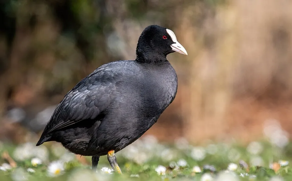
Among the species most often recorded on GBIF are Fulica atra (Common Coot), Podiceps cristatus (Great Crested Grebe), Anas platyrhynchos (Mallard) and Gallinula chloropus (Common Moorhen).
Who manages Réserve naturelle nationale des étangs du Romelaëre?
Eden 62.
What is the official website of Réserve naturelle nationale des étangs du Romelaëre?
© OpenStreetMap
Download the boundary: GeoJSON · GPX Boundary © OpenStreetMap contributors (ODbL).
Geography
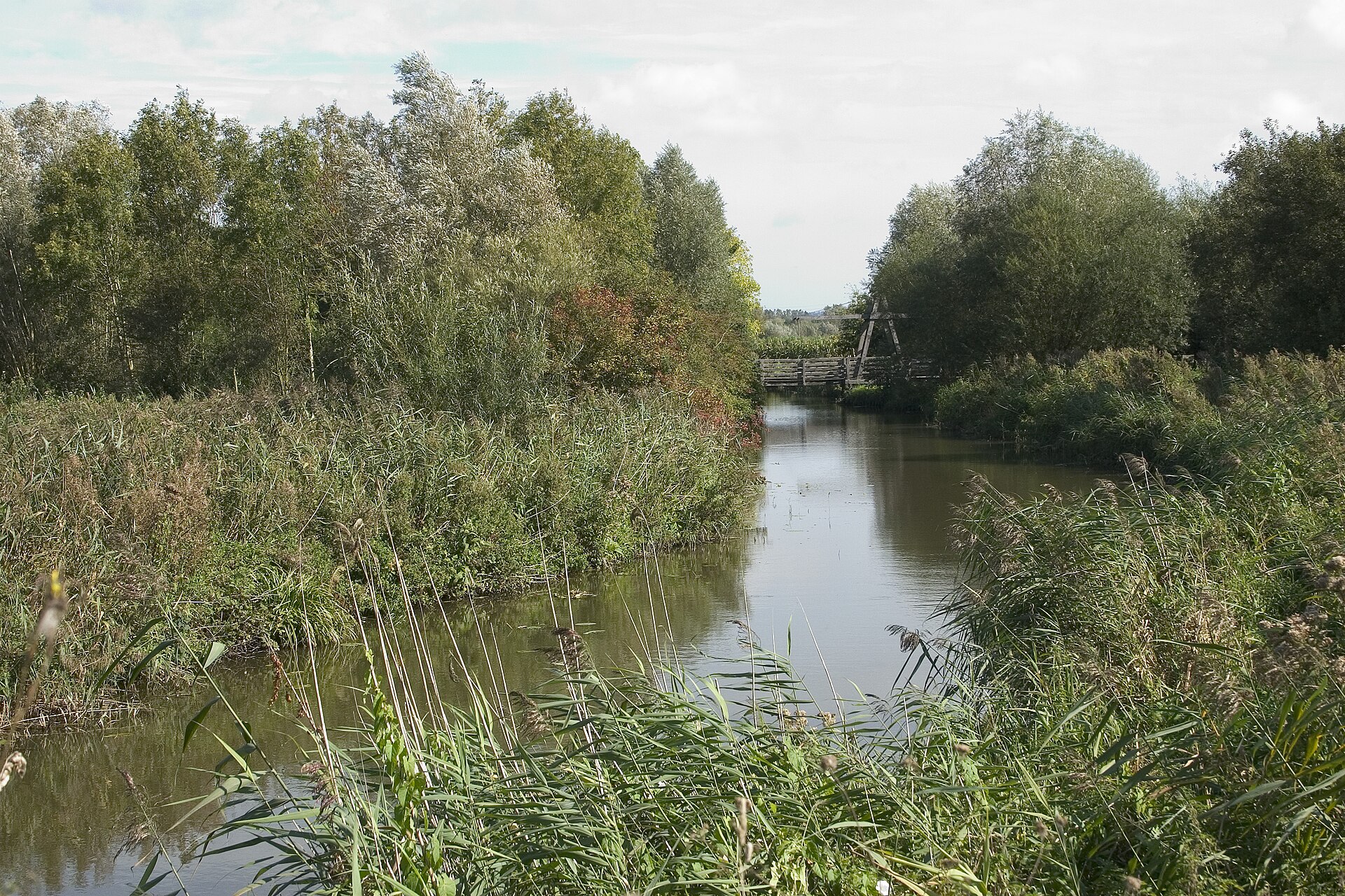
The representative point of the site lies at around 11 m above sea level. Over the 1996–2025 period, the mean annual temperature is about 11.2 °C and total precipitation reaches roughly 778 mm per year. The warmest month is usually August, the coolest January, and the wettest August. According to the BRGM's simplified lithological map, the bedrock consists mainly of sands (69% of sampled points) and clays (31%). These are mostly sedimentary rocks. The site contains one lake larger than 10 ha, totalling 14 ha of water (HydroLAKES).
Area
- Area
- 104 ha
- Elevation
- 11 m
- Lakes over 10 ha
- 1 (14 ha)
- Coordinates
- 50.78, 2.2851
Lakes: HydroLAKES (Messager et al. 2016, hydrosheds.org, CC BY 4.0) · depths: Wikidata (CC0)
Bedrock
- Sands 69 %
- Clays 31 %
Sedimentary rocks 100 %
Source: BRGM, simplified lithological map at 1:1,000,000 (Licence Ouverte), 16 points sampled within the boundary.
Climate
● Mean temperature (°C) · ▮ Precipitation (mm)
Source: Copernicus ERA5-Land (C3S, doi:10.24381/cds.68d2bb30), monthly averages 1996–2025 interpolated to the representative point, temperatures adjusted for elevation.
Contains modified Copernicus Climate Change Service information 2026. Neither the European Commission nor ECMWF is responsible for any use that may be made of the Copernicus information or data it contains.
Natural habitats
According to CORINE Land Cover (2018), the site is mainly made up of farmland (50%) and marshes and bogs (50%). The land is almost flat (mean slope under 2°). The 2 Natura 2000 sites overlapping the area list 12 habitats of European interest (1 priority), the most extensive being Sub-Atlantic and medio-European oak or oak-hornbeam forests of the Carpinion betuli, Atlantic acidophilous beech forests with Ilex and sometimes also Taxus in the shrublayer (Quercion robori-petraeae or Ilici-Fagenion) and hydrophilous tall herb fringe communities of plains and of the montane to alpine levels.
Biodiversity
Based on occurrences aggregated by GBIF, several species are regularly recorded within the site. Among the most frequent are Fulica atra (Common Coot), Podiceps cristatus (Great Crested Grebe), Anas platyrhynchos (Mallard) and Gallinula chloropus (Common Moorhen). The full list of documented taxa is shown below. The overlapping Natura 2000 sites list 71 species of European interest: 63 birds, 2 mammals, 1 amphibian, 3 fish and 2 invertebrates.
Habitats of European interest
From the official forms of the 2 Natura 2000 sites overlapping the area (areas reported for each whole site).
- Sub-Atlantic and medio-European oak or oak-hornbeam forests of the Carpinion betuli 209 ha
- Atlantic acidophilous beech forests with Ilex and sometimes also Taxus in the shrublayer (Quercion robori-petraeae or Ilici-Fagenion) 53 ha
- Hydrophilous tall herb fringe communities of plains and of the montane to alpine levels 28 ha
- Old acidophilous oak woods with Quercus robur on sandy plains 14 ha
- Natural eutrophic lakes with Magnopotamion or Hydrocharition-type vegetation 5 ha
- Alluvial forests with Alnus glutinosa and Fraxinus excelsior (Alno-Padion, Alnion incanae, Salicion albae) priority 4 ha
- Lowland hay meadows (Alopecurus pratensis, Sanguisorba officinalis) 2 ha
- Alkaline fens 2 ha
and 4 more
Species of European interest
Birds · 63
Aquatic warbler (Acrocephalus paludicola) passage, Common Kingfisher (Alcedo atthis) breeding passage wintering, Northern Pintail (Anas acuta) passage, Eurasian Teal (Anas crecca) breeding passage, Mallard (Anas platyrhynchos) wintering breeding passage, Greater white-fronted goose (Anser albifrons) passage, Greylag Goose (Anser anser) passage, Taiga bean goose (Anser fabalis) passage, Great Egret (Ardea alba) passage, Grey Heron (Ardea cinerea) passage wintering breeding, Purple Heron (Ardea purpurea) passage, Short-eared Owl (Asio flammeus) wintering passage and 51 more
Amphibians · 1
Fish · 3
Spined loach (Cobitis taenia), European bullhead (Cottus gobio), European bitterling (Rhodeus amarus)
Invertebrates · 2
Lesser Ramshorn Snail (Anisus vorticulus), Desmoulin's whorl snail (Vertigo moulinsiana)
Source: Natura 2000 standard data forms (EEA, CC-BY 4.0). Not exhaustive: sensitive species are not published.
Species to look out for


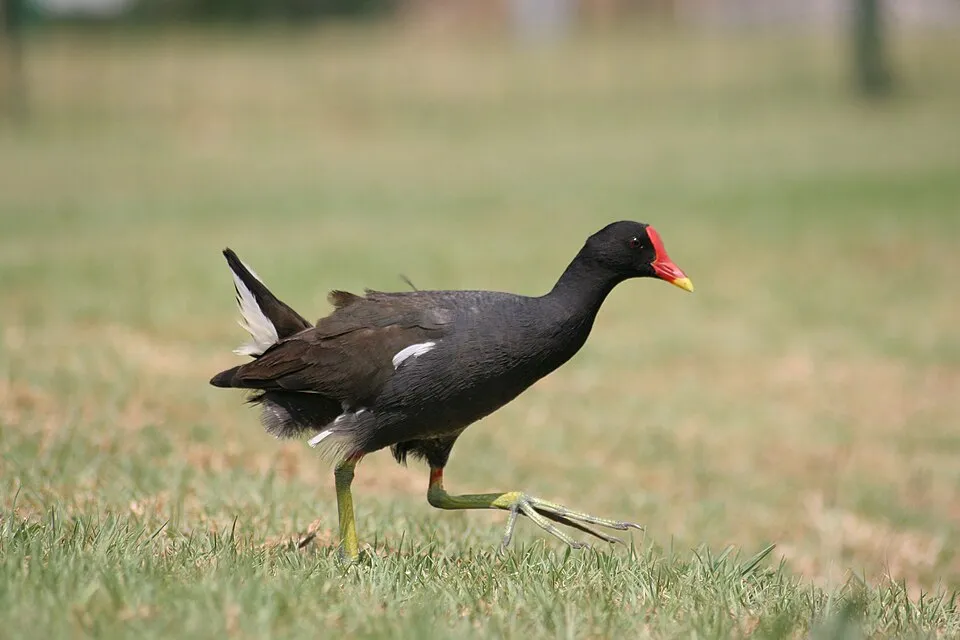
Bird
Common Moorhen
Gallinula chloropus2,157 records © Monkey Boy from Johannesburg, South Africa · CC BY-SA 2.0

Observed species
Occurrences documented via GBIF; they are neither an exhaustive inventory nor proof of current presence.
- Common Coot · Fulica atra · 4650
- Great Crested Grebe · Podiceps cristatus · 3308
- Mallard · Anas platyrhynchos · 3263
- Common Moorhen · Gallinula chloropus · 2157
- Mute Swan · Cygnus olor · 1164
- Gadwall · Mareca strepera · 1068
- Northern Shoveler · Spatula clypeata · 1051
- Western Marsh Harrier · Circus aeruginosus · 846
- Great Cormorant · Phalacrocorax carbo · 783
- Little Grebe · Tachybaptus ruficollis · 754
- Eurasian Wren · Troglodytes troglodytes · 752
- Eurasian Teal · Anas crecca · 746
+18 more species
- Black-headed Gull · Chroicocephalus ridibundus · 697
- Common Chiffchaff · Phylloscopus collybita · 651
- Common Wood Pigeon · Columba palumbus · 640
- Cetti's Warbler · Cettia cetti · 629
- Brown-cheeked rail · Rallus aquaticus · 590
- Common Blackbird · Turdus merula · 563
- Little Egret · Egretta garzetta · 552
- Sedge warbler · Acrocephalus schoenobaenus · 544
- Grey Heron · Ardea cinerea · 535
- Western Jackdaw · Coloeus monedula · 522
- Great Egret · Ardea alba · 498
- Eurasian Blackcap · Sylvia atricapilla · 486
- Common Kingfisher · Alcedo atthis · 475
- Common Cuckoo · Cuculus canorus · 472
- Western Cattle Egret · Bubulcus ibis · 466
- Reed Bunting · Emberiza schoeniclus · 459
- Egyptian Goose · Alopochen aegyptiaca · 445
- European Herring Gull · Larus argentatus · 430
Records: GBIF.org (CC-BY). Names: Wikidata (CC0), GBIF. Photos: Wikimedia Commons.
Conservation challenges
The primary purpose of the site is to preserve its natural habitats and the biodiversity they support. The species recorded (Biodiversity tab) reflect its ecological value. The designations it holds frame its management and the control of land use.
At night, 71% of the area gives off artificial light detectable from space (NASA VIIRS Black Marble composite, 2016). According to the Natura 2000 forms, of 12 assessed habitats of European interest, 7 are in average or reduced condition and the rest in good condition. According to the Water Framework Directive assessment (2022 river basin management plans, data 2012–2017), water bodies assessed within the site: lakes, 0 of 1 in good ecological status or better. Since 2000, 8 invasive alien species have been recorded within the site (GBIF observations), 3 of them listed as of Union concern under EU Regulation 1143/2014. Among them: Alopochen aegyptiaca (Egyptian Goose), Ondatra zibethicus (Muskrat) and Trachemys scripta (Pond slider).
Pressure indicators
Fires since 2016
0
No large fire mapped (fires over about 30 ha)
Light at night
71%
of the area gives off artificial light visible from space
DarkLit
Built-up land
< 1%
buildings, business areas, roads, quarries · farmland 50%
Rivers and lakes
Lakes: 0 of 1 good or better
assessments 2012–2017
Invasive alien species
8
incl. 3 of EU concern · since 2000
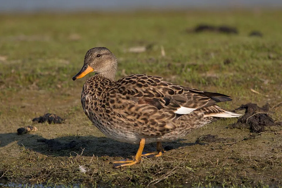
 Egyptian GooseEU
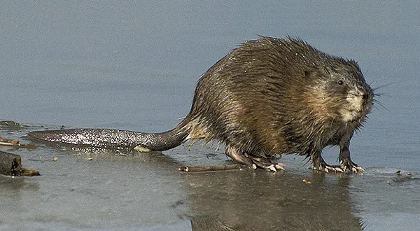 MuskratEU
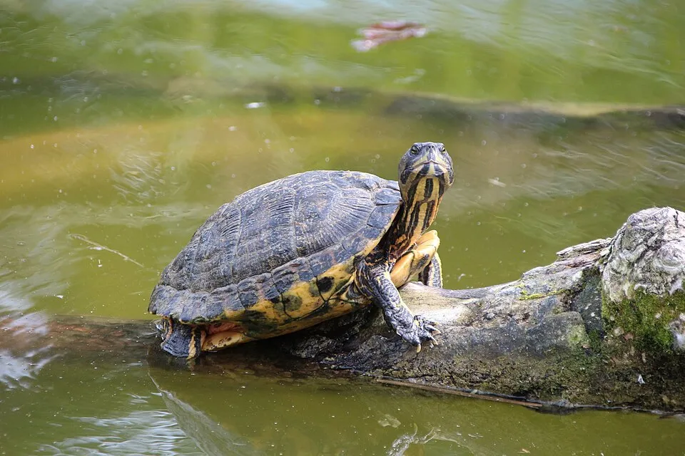 Pond sliderEU
Asian Lady Beetle
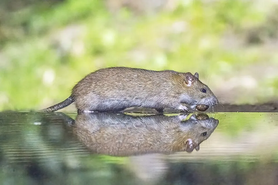 Brown rat
 Canada Goose
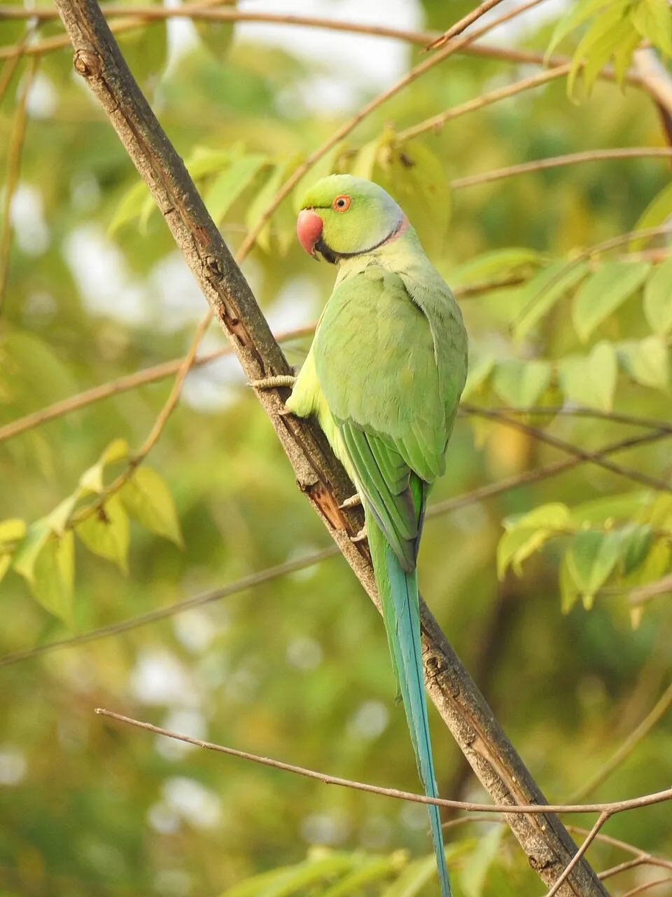 Rose-ringed Parakeet
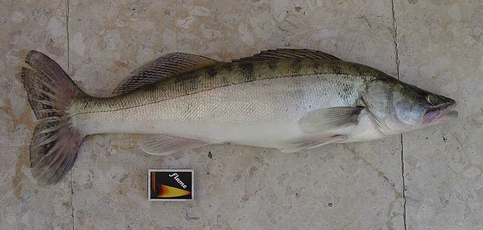 Zander
Photos: Egyptian Goose © Rhododendrites · CC BY-SA 4.0; Muskrat © David Menke · Public domain; Pond slider © Viva.Chelonia · CC BY 2.0; Brown rat © Charles J. Sharp · CC BY-SA 4.0; Canada Goose © JackyM59 · CC BY-SA 4.0; Rose-ringed Parakeet © Afsarnayakkan · CC BY 3.0; Zander © eLNuko · Public domain
Sources: Global Forest Change (Hansen et al., University of Maryland, via Global Forest Watch, CC-BY 4.0); EFFIS, European Commission / Copernicus; NASA Black Marble 2016 (public domain); CORINE Land Cover 2018 (Copernicus) or MODIS.
Ecological status of water bodies: European Environment Agency, WISE – Water Framework Directive, 3rd river basin management plans (2022), CC BY 4.0. Official national classification, not comparable between countries.
Invasive alien species: Global Register of Introduced and Invasive Species (ISSG, CC BY 4.0); Union list, Regulation (EU) 1143/2014 (INBO, CC0); GBIF.org records (CC0 / CC BY 4.0), at least 2 per species.
Practical information
Cities and airport
- Dunkirk
28 km as the crow flies - Calais
35 km as the crow flies - Airport: Calais–Dunkerque (CQF)
30 km as the crow flies
Hiking
1 waymarked routes listed, including:
GR 128
Data © OpenStreetMap contributors (ODbL) · Wikidata (CC0)
Access and visiting
The nearest railway station is Saint-Omer, about 2 km from the site boundary. Nearest towns of over 50,000 people, as the crow flies: Dunkirk (28 km) and Calais (35 km). Nearest airport: Calais–Dunkerque (CQF), about 30 km away. About 220,000 people live within 20 km of the site boundary, 82,000 of them within 10 km (GHSL estimate, 2020). This population has grown by about 5% since 2000. Waymarked hiking routes listed in OpenStreetMap: 1, including GR 128. To see: 1 lake or pond and 1 bird hide, including Étang de Romelaëre. To plan a visit (access, opening periods, visitor rules), it is best to consult the official information from the managing body (Eden 62) and the official website listed in this page's sources.
Source: OpenStreetMap (ODbL), Wikidata (CC0), October 2026.
When to visit
Best time to visit: from May to October, with average temperatures of 12 to 19 °C and moderate rainfall. Day length ranges from about 7 h 58 min in December to 16 h 28 min in June. Wildlife records published on GBIF peak for birds (April and May), plants (from June to August), butterflies and moths (June and July), dragonflies (May and June) and mammals (September). These peaks also reflect when observers are most active.
Source: Copernicus ERA5-Land (C3S), monthly averages 1996–2025 at the representative point, temperatures adjusted for elevation.
Contains modified Copernicus Climate Change Service information 2026. Neither the European Commission nor ECMWF is responsible for any use that may be made of the Copernicus information or data it contains.
Wildlife records calendar
JFMAMJJASOND
Birds
Plants
Butterflies & moths
Dragonflies
Mammals
Monthly records published on GBIF (CC-BY), relative to the busiest month; also reflects observer activity.
Gallery
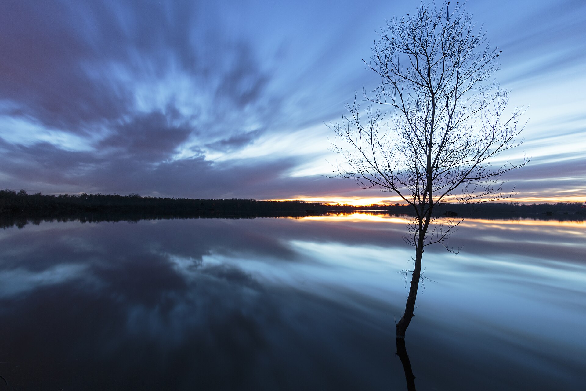
© Pir6mon · CC BY-SA 3.0
© Lion59 · CC BY-SA 3.0
© LucasD · CC BY-SA 4.0
© Nicolas Bartoli · CC BY-SA 4.0
© Nicolas Bartoli · CC BY-SA 4.0
© Lion59 · CC BY-SA 3.0
Sources and licences
- Wikidata: Q3457514
- OpenStreetMap: relation 1023773
- Official website: http://www.eden62.fr/reserve-naturelle-nationale-des-etangs-du-romelaere/?slugPost=reserve-naturelle-nationale-des-etangs-du-romelaere&idCat=13
- Wikipedia: fr.wikipedia.org/wiki/Réserve_naturelle_nationale_des_étangs_du_Romelaëre
- WDPA: 391923
References
- cds.climate.copernicus.eu: climate · CC-BY-4.0
- registry.opendata.aws: elevation of the reference point, detailed relief · PD
- land.copernicus.eu: land cover, land cover change, sea share · COPERNICUS
- doi.org: population around the site · CC-BY-4.0
- wikidata.org: official area, establishment date, managing body, nearby cities and airport, access and peaks, lake depths, places to see, official website · CC0-1.0
- eea.europa.eu: bathing water quality, ecological status of waters · CC-BY-4.0
- en.eurovelo.com: EuroVelo cycle routes · ODbL-1.0
- cycling.waymarkedtrails.org: cycle routes · ODbL-1.0
- opentopodata.org: elevations · PD
- forest-fire.emergency.copernicus.eu: wildfires · COPERNICUS
- globalforestwatch.org: tree cover loss · CC-BY-4.0
- gbif.org: seasonality of sightings, invasive alien species, observed species · CC-BY-4.0
- infoterre.brgm.fr: geology · LO-2.0
- pop.culture.gouv.fr: protected heritage · LO-2.0
- hydrosheds.org: lakes · CC-BY-4.0
- natura2000.eea.europa.eu: Natura 2000 habitats and species · CC-BY-4.0
- openstreetmap.org: official name, access and peaks, places to see, wheelchair access · ODbL-1.0
- earthobservatory.nasa.gov: night light · PD
- nsidc.org: snow cover · PD
- wikidata.org: Wikipedia article · CC-BY-SA-4.0
Data © OpenStreetMap contributors (ODbL), Wikidata (CC0) and the sources cited.