Slovakia · Terrestrial
Štiavnické vrchy Protected Landscape Area
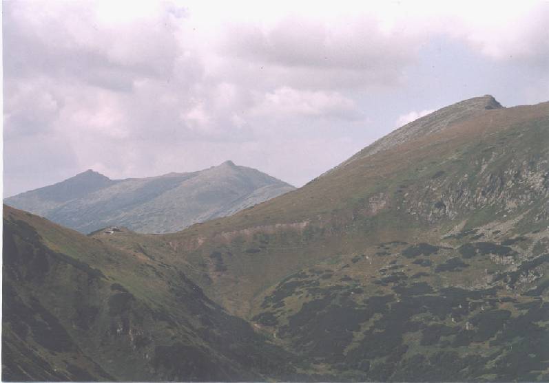
Protected landscape area of 77,630 hectares in Slovakia, established in 1979.
Overview
Protected landscape area of 77,630 hectares in Slovakia, established in 1979.
Štiavnické vrchy Protected Landscape Area is located in Slovakia (Europe). It is a predominantly terrestrial area. Established in 1979, it covers about 77,630 hectares.
Protections and designations
UNESCO World Heritage
Natura 2000 · habitats (SAC) · 9 sites
- Čajkovské bralie SKUEV0262
- Dolná Bukovina SKUEV0015
- Hodrušská hornatina SKUEV0263
- Klokoč SKUEV0264
- Sitno SKUEV0216
- Skalka SKUEV0266
- and 3 more
Designated as a protected landscape area. International labels and designations: UNESCO World Heritage (“Historic Town of Banská Štiavnica and the Technical Monuments in its Vicinity”) and Natura 2000 network (9 sites). Key dates: established in 1979, World Heritage listing in 1993 and first Natura 2000 site under the Habitats Directive in 2004.
In our collections
Timeline
-
1979
Established
-
1993
Inscribed as a UNESCO World Heritage Site Historic Town of Banská Štiavnica and the Technical Monuments in its Vicinity
-
2004
First Natura 2000 site under the Habitats Directive 4 such sites designated up to 2004
Sources: Wikidata (CC0) for establishment and international labels; EEA Natura 2000 database (CC-BY 4.0) for site designation dates.
Frequently asked questions
Where is Štiavnické vrchy Protected Landscape Area?
In Slovakia (Europe). Representative point: 48.4667° N, 18.8667° E.
How large is Štiavnické vrchy Protected Landscape Area?
About 77,630 hectares (776 km²). It is the largest of the 14 protected landscape areas in Slovakia covered by Parkavela.
When was Štiavnické vrchy Protected Landscape Area established?
In 1979.
What habitats and landscapes does Štiavnické vrchy Protected Landscape Area include?
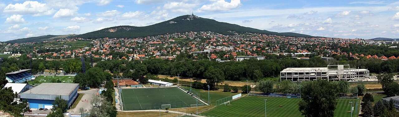
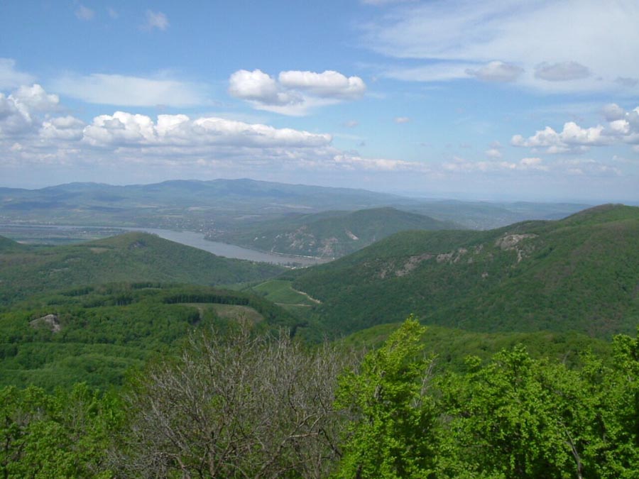
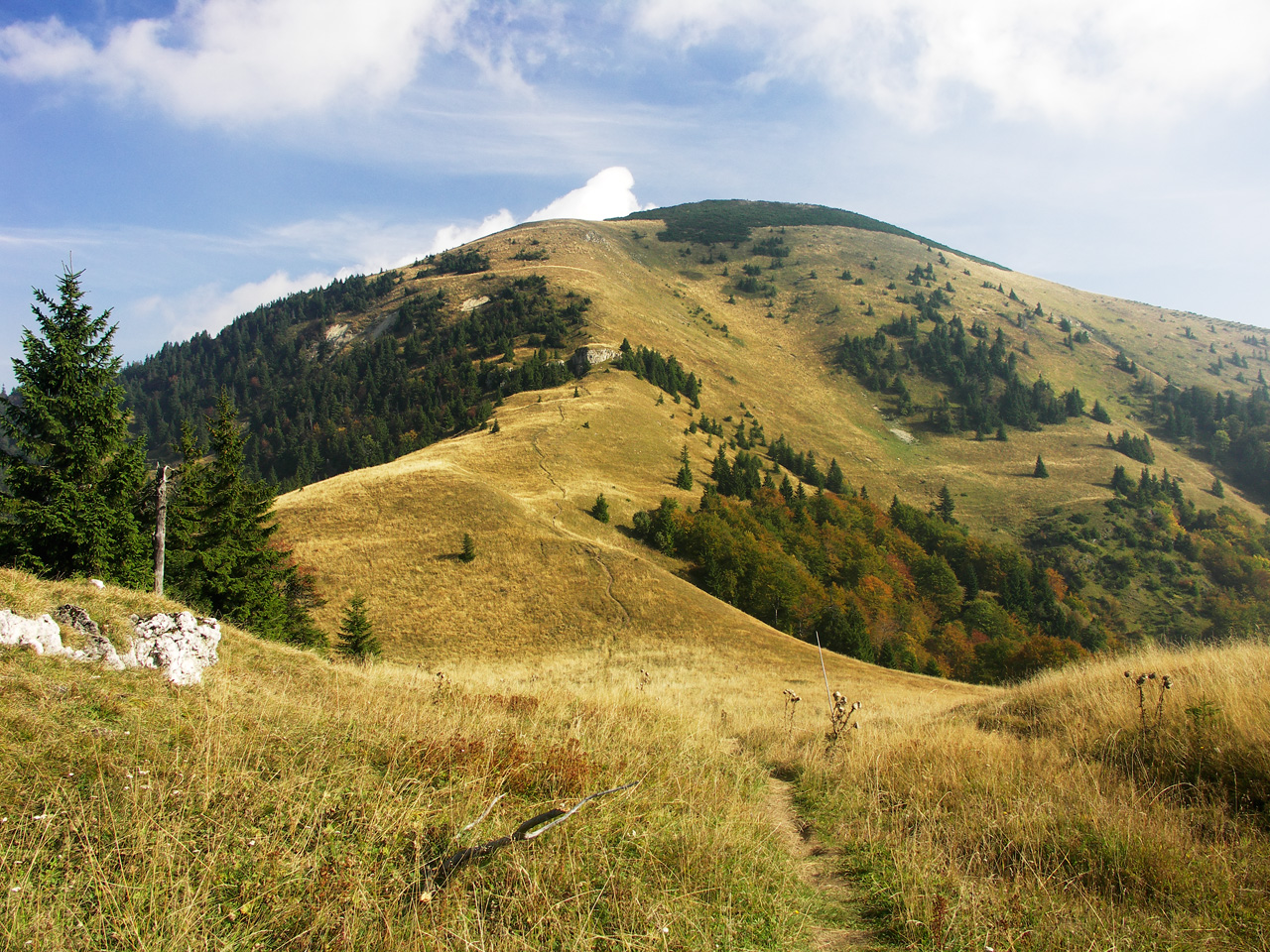
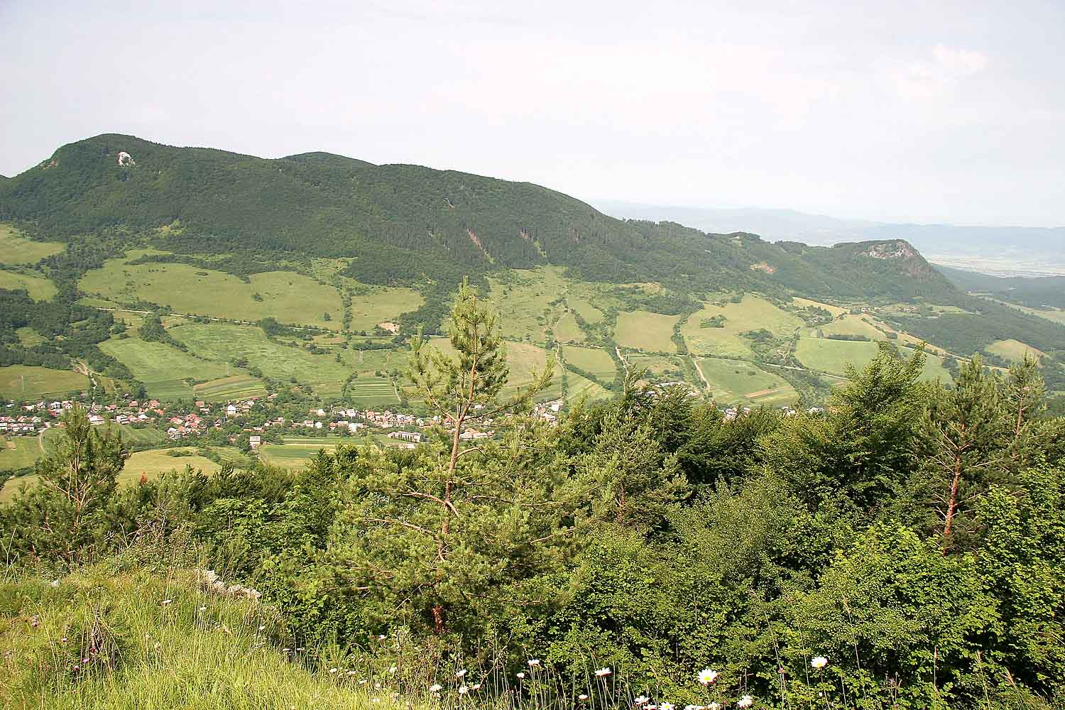
A terrestrial area, with forests and mountains.
What rocks lie beneath Štiavnické vrchy Protected Landscape Area?
According to the European 1:1 million geological map (EGDI), the bedrock consists mainly of andesites and dacites (50% of sampled points) and basalts (31%). These are mostly igneous rocks. The geological units date mainly from the Neogene (88% of sampled points).
What is the highest point of Štiavnické vrchy Protected Landscape Area?
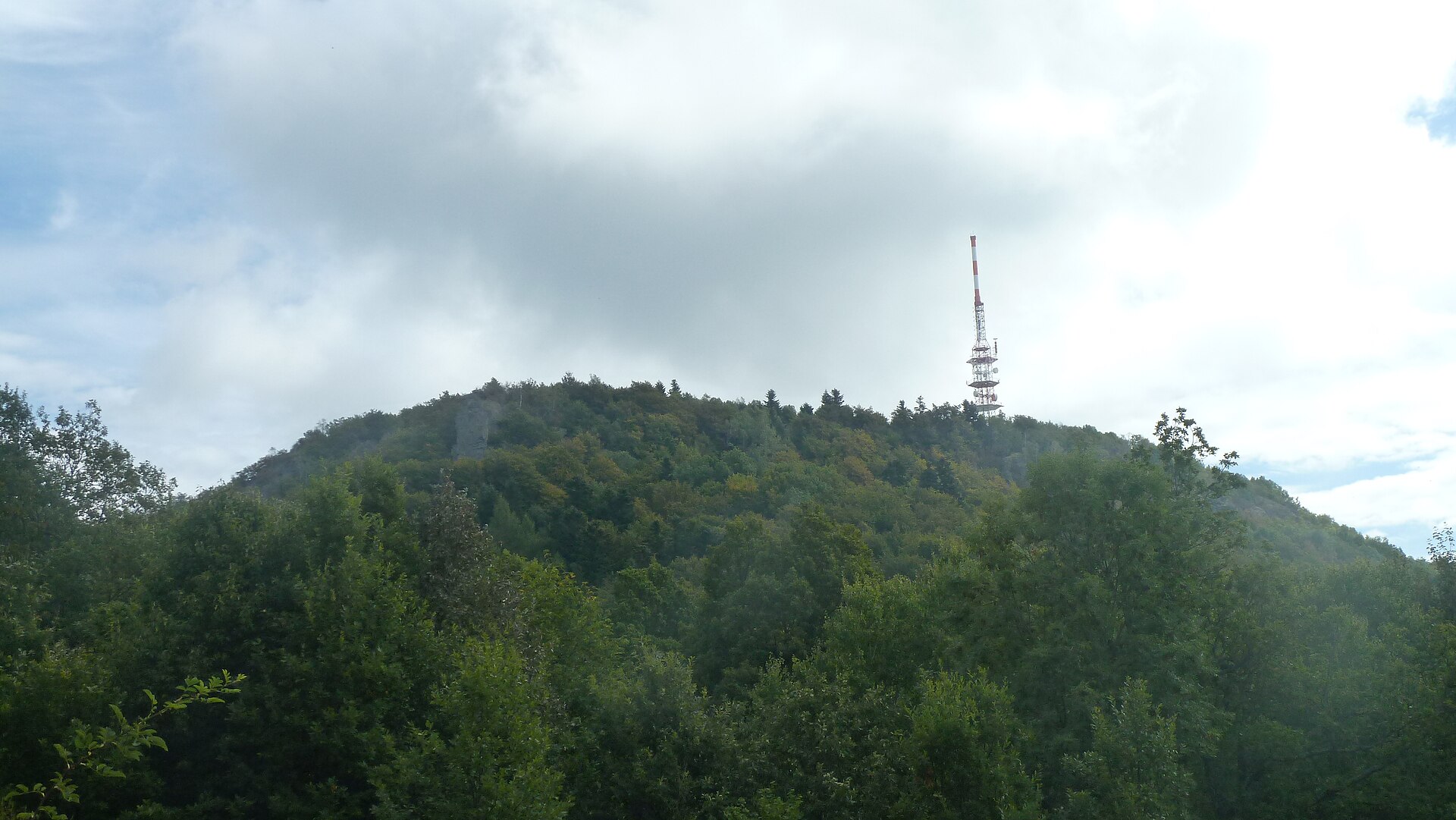
Sitno, at 1,011 m (OpenStreetMap).
What are the main summits of Štiavnické vrchy Protected Landscape Area?
Sitno (1,011 m), Petrov vrch (949 m), Paradajs (939 m), Tanád (938 m) and Malý Paradajs (912 m) (OpenStreetMap).
Which international labels apply to Štiavnické vrchy Protected Landscape Area?
UNESCO World Heritage (“Historic Town of Banská Štiavnica and the Technical Monuments in its Vicinity”) and Natura 2000 network (9 sites).
When is the best time to visit Štiavnické vrchy Protected Landscape Area?
Mildest period: from June to August, with average temperatures of 15 to 18 °C.
Is there snow in Štiavnické vrchy Protected Landscape Area?
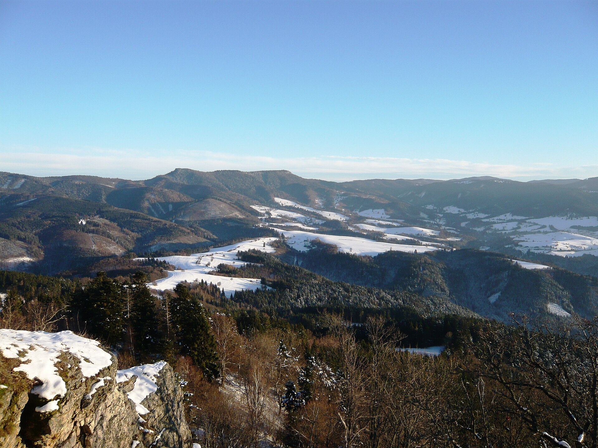
Yes. According to NASA's MODIS satellites (2015–2025 average), snow covers the site about 35 days a year, mostly from December to February.
What is there to see in Štiavnické vrchy Protected Landscape Area?
9 lakes and ponds, including Počúvadlianske jazero, Brennerský tajch, Halčiansky tajch and Bakoniho rybník (Wikidata).
Are there historic monuments in Štiavnické vrchy Protected Landscape Area?
Yes. According to Wikidata, 348 monuments listed in the Slovak register of national cultural monuments stand within the boundary. For example: “Golgota, súsošie malej Kalvárie, kríž s korpusom” in Prenčov, “Hrad Breznica” in Tekovská Breznica and “Staré mesto” in Banská Štiavnica.
Can you swim in Štiavnické vrchy Protected Landscape Area?
7 monitored bathing sites lie in or within 1 km of the site; official 2025 classification: 5 excellent (European Environment Agency). Swimming is only permitted at the sites and times authorised locally.
What is the nearest large city to Štiavnické vrchy Protected Landscape Area?
Nearest towns of over 50,000 people, as the crow flies: Banská Bystrica (21 km) and Nitra (34 km). Nearest airport: M. R. Štefánik (BTS), about 100 km away.
How can I reach Štiavnické vrchy Protected Landscape Area by train?
Banská Štiavnica railway station lies within the site.
Where can I get visitor information on site?
Informačné stredisko Sitno, Banské múzeum v prírode and Informačné cetrum Banská Štiavnica.
Are there waymarked hiking trails in Štiavnické vrchy Protected Landscape Area?
Yes. Waymarked hiking routes listed in OpenStreetMap: 85, including Náučný chodník osobností Svätého Antona, Mária-út, Svätojakubská cesta na Slovensku and Náučný chodník Prírodné a historické klenoty belujského chotára. The “0804 · Rudná magistrála” route runs for about 41 km through the site, with some 870 m of ascent on its longest section.
Which species can be seen in Štiavnické vrchy Protected Landscape Area?
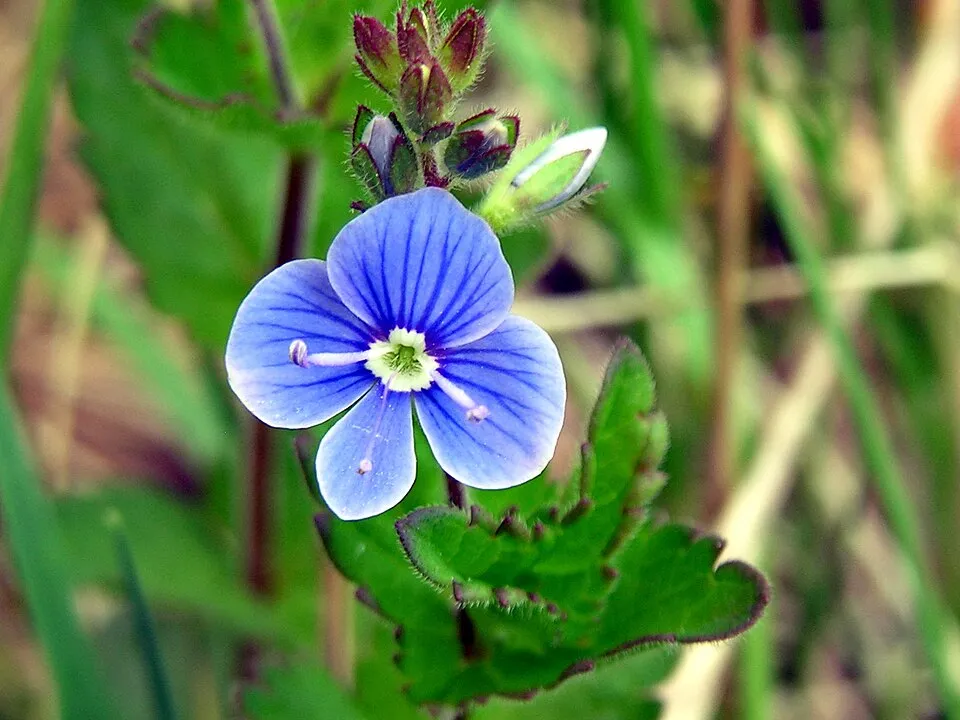
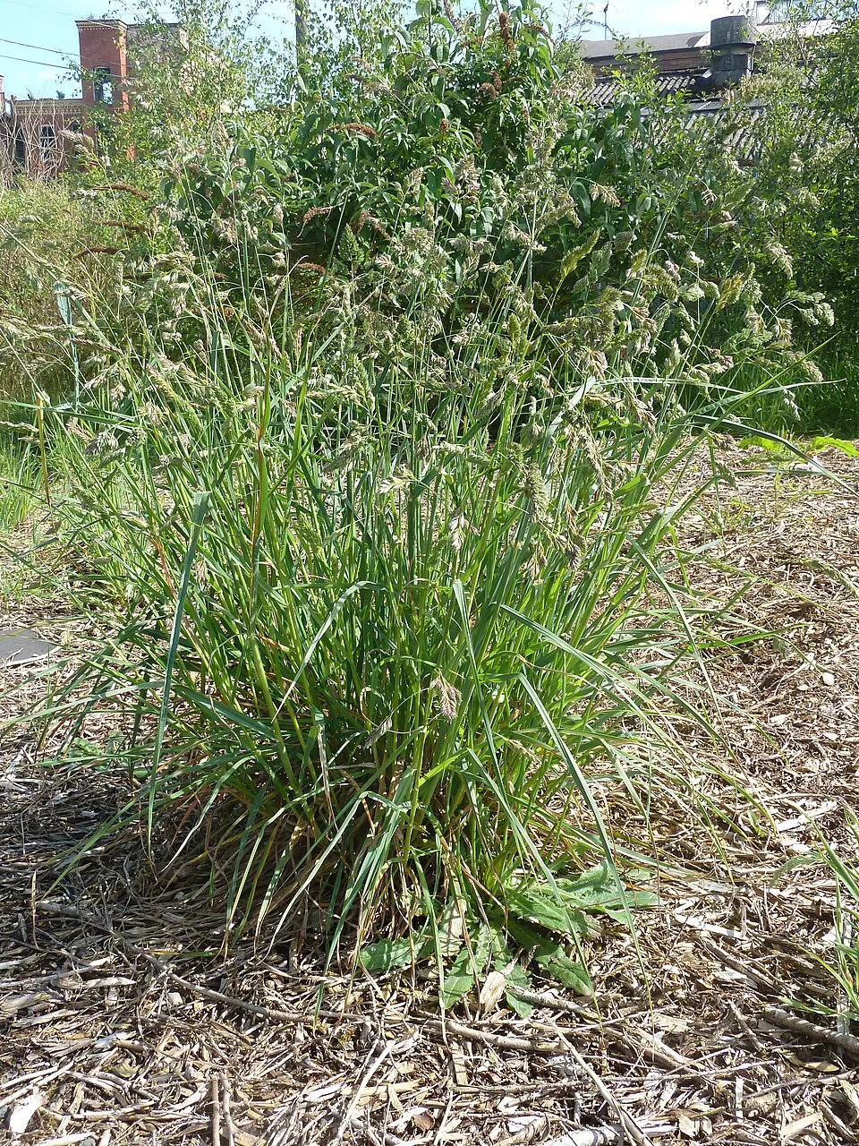
Among the species most often recorded on GBIF are Veronica chamaedrys (Germander speedwell), Dactylis glomerata (Cock's-foot), Arrhenatherum elatius (False Oat-grass) and Achillea millefolium (Yarrow).
What is the official website of Štiavnické vrchy Protected Landscape Area?
© OpenStreetMap
Download the boundary: GeoJSON · GPX Boundary © OpenStreetMap contributors (ODbL).
Geography
The representative point of the site lies at around 756 m above sea level. Over the 1996–2025 period, the mean annual temperature is about 7.0 °C and total precipitation reaches roughly 872 mm per year. The warmest month is usually July, the coolest January, and the wettest July. According to the European 1:1 million geological map (EGDI), the bedrock consists mainly of andesites and dacites (50% of sampled points) and basalts (31%). These are mostly igneous rocks. The geological units date mainly from the Neogene (88% of sampled points).
Area
- Area
- 77,630 ha
- Elevation
- 756 m
- Median elevation
- 514 m
- Mean slope
- 12°
- Snow cover
- ≈ 35 days a year
- Coordinates
- 48.4667, 18.8667
Terrain: Mapzen Terrain Tiles (SRTM, USGS)
Bedrock
- Andesites and dacites 50 %
- Basalts 31 %
- Sandstones 6 %
- Rhyolites 6 %
- Quartzites 6 %
Igneous rocks 88 % · Sedimentary rocks 6 % · Metamorphic rocks 6 % · Main age: Neogene (88%)
Source: EGDI 1:1M geological map (EuroGeoSurveys and national geological surveys), CC BY 4.0 · 16 sampled points within the site.
Main summits
- Sitno1,011 m
- Petrov vrch949 m
- Paradajs939 m
- Tanád938 m
- Malý Paradajs912 m
- Šobov888 m
- Skalka882 m
- Končiar881 m
- Studený vrch876 m
- Malý Tanád867 m
Data © OpenStreetMap contributors (ODbL)
Climate
● Mean temperature (°C) · ▮ Precipitation (mm)
Source: Copernicus ERA5-Land (C3S, doi:10.24381/cds.68d2bb30), monthly averages 1996–2025 interpolated to the representative point, temperatures adjusted for elevation.
Contains modified Copernicus Climate Change Service information 2026. Neither the European Commission nor ECMWF is responsible for any use that may be made of the Copernicus information or data it contains.
Snow cover measured by satellite
J
F
M
A
M
J
J
A
S
O
N
D
average share of the site under snow · snowiest parts · ≈ 35 days a year
Snow cover: MODIS/Terra MOD10CM v61 (Hall & Riggs, 2021, NASA NSIDC DAAC, doi:10.5067/MODIS/MOD10CM.061), imagery from NASA GIBS (ESDIS); 2015–2025 average, grid of about 5 km.
Natural habitats
According to CORINE Land Cover (2018), the site is mainly made up of forests (75%), farmland (13%) and grassland and meadows (8%). Woodland is mostly broadleaved. Elevation ranges from about 210 m to 1,011 m (highest point: Sitno). The 9 Natura 2000 sites overlapping the area list 20 habitats of European interest (8 priority), the most extensive being Asperulo-Fagetum beech forests, Pannonic woods with Quercus petraea and Carpinus betulus and Tilio-Acerion forests of slopes, screes and ravines.
Biodiversity
Based on occurrences aggregated by GBIF, several species are regularly recorded within the site. Among the most frequent are Veronica chamaedrys (Germander speedwell), Dactylis glomerata (Cock's-foot), Arrhenatherum elatius (False Oat-grass) and Achillea millefolium (Yarrow). The full list of documented taxa is shown below. The overlapping Natura 2000 sites list 29 species of European interest: 11 mammals, 1 amphibian, 2 fish, 14 invertebrates and 1 plant.
Habitats of European interest
From the official forms of the 9 Natura 2000 sites overlapping the area (areas reported for each whole site).
- Asperulo-Fagetum beech forests 18,040 ha
- Pannonic woods with Quercus petraea and Carpinus betulus priority 1,782 ha
- Tilio-Acerion forests of slopes, screes and ravines priority 1,417 ha
- Lowland hay meadows (Alopecurus pratensis, Sanguisorba officinalis) 763 ha
- Luzulo-Fagetum beech forests 600 ha
- Pannonian-Balkanic turkey oak-sessile oak forests 155 ha
- Pannonian woods with Quercus pubescens priority 117 ha
- Euro-Siberian steppic woods with Quercus spp. priority 86 ha
and 12 more
Species of European interest
Mammals · 11
Barbastelle (Barbastella barbastellus), Eurasian otter (Lutra lutra), Eurasian Lynx (Lynx lynx), Common bent-wing bat (Miniopterus schreibersii), Bechstein's bat (Myotis bechsteinii), Lesser mouse-eared myotis (Myotis blythii), Geoffroy's bat (Myotis emarginatus), Greater mouse-eared bat (Myotis myotis), Greater Horseshoe Bat (Rhinolophus ferrumequinum), Lesser horseshoe bat (Rhinolophus hipposideros), Brown bear (Ursus arctos)
Amphibians · 1
Fish · 2
European bullhead (Cottus gobio), Rhodeus sericeus amarus
Invertebrates · 14
Carabus variolosus, Greater Capricorn Beetle (Cerambyx cerdo), Cucujus cinnaberinus, Dioszeghyana schmidtii, Eastern Eggar (Eriogaster catax), Jersey Tiger (Euplagia quadripunctaria), Violet click beetle (Limoniscus violaceus), Stag beetle (Lucanus cervus), Large copper (Lycaena dispar), Scarce large blue (Maculinea teleius), Hermit beetle (Osmoderma eremita), Balkan Pincer Grasshopper (Paracaloptenus caloptenoides) and 2 more
Plants · 1
Source: Natura 2000 standard data forms (EEA, CC-BY 4.0). Not exhaustive: sensitive species are not published.
Species to look out for


Observed species
Occurrences documented via GBIF; they are neither an exhaustive inventory nor proof of current presence.
- Germander speedwell · Veronica chamaedrys · 741
- Cock's-foot · Dactylis glomerata · 708
- False Oat-grass · Arrhenatherum elatius · 591
- Yarrow · Achillea millefolium · 588
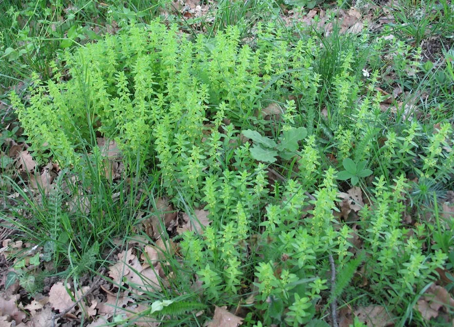
- Cruciata glabra · 577
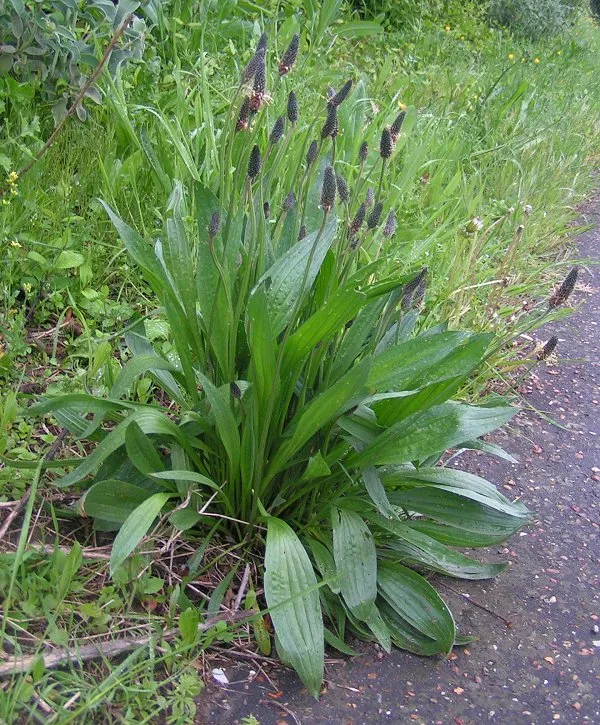
- Ribwort Plantain · Plantago lanceolata · 576
- Lady's Bedstraw · Galium verum · 575
- Perforate St John's-wort · Hypericum perforatum · 553
- Red fescue · Festuca rubra · 545
- Cypress Spurge · Euphorbia cyparissias · 542
- Rough hawkbit · Leontodon hispidus · 533
- Field scabious · Knautia arvensis · 510
+18 more species
- Oakforest woodrush · Luzula luzuloides · 503
- Hornbeam · Carpinus betulus · 495
- Smooth Meadow-grass · Poa pratensis · 488
- European Beech · Fagus sylvatica · 480
- Meadow foxtail · Alopecurus pratensis · 476
- White Clover · Trifolium repens · 471
- Meadow buttercup · Ranunculus acris · 469
- Carthusian Pink · Dianthus carthusianorum · 464
- Common Bird's-foot-trefoil · Lotus corniculatus · 450
- Spreading bellflower · Campanula patula · 450
- Meadow clary · Salvia pratensis · 446
- Greater burdock · Arctium lappa · 444
- Wild strawberry · Fragaria vesca · 443
- Autumn crocus · Colchicum autumnale · 433
- Hedge bedstraw · Galium mollugo · 418
- Wild Carrot · Daucus carota · 414
- Yellow oat-grass · Trisetum flavescens · 407
- Meadow ryegrass · Lolium pratense · 407
Records: GBIF.org (CC-BY). Names: Wikidata (CC0), GBIF. Photos: Wikimedia Commons.
Conservation challenges
The primary purpose of the site is to preserve its natural habitats and the biodiversity they support. The species recorded (Biodiversity tab) reflect its ecological value. The designations it holds frame its management and the control of land use.
According to Global Forest Change data (University of Maryland, Global Forest Watch), about 2,660 ha of tree cover were lost within the boundary between 2001 and 2023 (3% of its area), peaking in 2010. These losses include logging, storms and fires, and do not account for regrowth. According to the European CORINE Land Cover inventory (Copernicus), land cover changed on about 642 ha of the site between 1990 and 2018 (under 1% of its area): farmland shrank by 518 ha, mostly giving way to forest, while forest grew by 468 ha, mostly at the expense of farmland. Forest felling and regrowth add about 4,460 ha in total over the period. At night, the area gives off virtually no artificial light detectable from space (NASA VIIRS Black Marble composite, 2016). Built-up and developed land (buildings, business areas, roads, quarries) covers 2% of the area, and farmland 13% (CORINE Land Cover). According to the Natura 2000 forms, of 20 assessed habitats of European interest, 4 are in excellent condition and the rest in good condition. According to the Water Framework Directive assessment (2022 river basin management plans, data 2021), only 35% of the 224 km of rivers assessed within the site are in good or high ecological status; the others mostly have moderate ecological status. Since 2000, 30 invasive alien species have been recorded within the site (GBIF observations), 6 of them listed as of Union concern under EU Regulation 1143/2014. Among them: Ailanthus altissima (Tree-of-heaven), Reynoutria japonica (Japanese Knotweed) and Impatiens glandulifera (Himalayan Balsam).
Pressure indicators
Tree cover lost
2,663 ha
2001–2023 · 3% of the area
20012023
Fires since 2016
0
No large fire mapped (fires over about 30 ha)
Light at night
< 1%
of the area gives off artificial light visible from space
DarkLit
Built-up land
2%
buildings, business areas, roads, quarries · farmland 13%
Land cover change
642 ha
changed cover, 1990–2018 · CORINE · < 1% of the area
- −518 ha · farmland
- +468 ha · forest
forest felling and regrowth: 4,460 ha in total
Rivers and lakes
35%
of the 224 km of assessed rivers in good or high ecological status · WFD 2022
assessments 2021
Invasive alien species
30
incl. 6 of EU concern · since 2000
 Tree-of-heavenEU
 Japanese KnotweedEU
 Himalayan BalsamEU
 Giant HogweedEU
Common milkweedEU
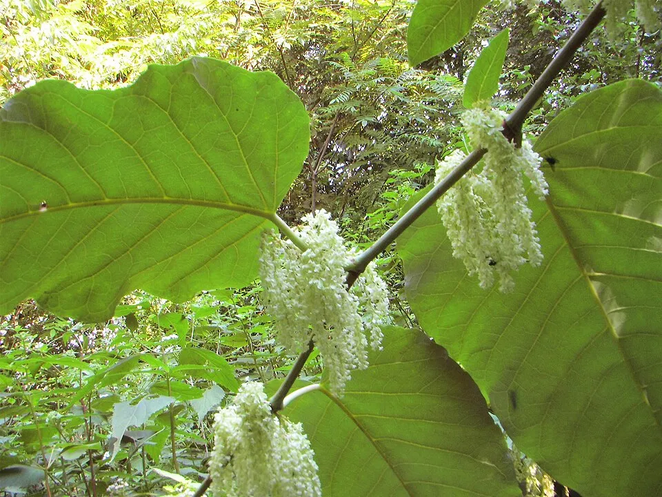 Giant KnotweedEU
 Small balsam
 Black locust
Photos: Tree-of-heaven © Darkone · CC BY-SA 2.5; Japanese Knotweed © W.carter · CC0-1.0; Himalayan Balsam © Guptaele · CC BY-SA 4.0; Giant Hogweed © anastasiiamerkulova · CC BY 4.0; Giant Knotweed © Velocicaptor · Public domain; Small balsam © André Karwath aka Aka · CC BY-SA 2.5; Black locust © This Photo was taken by Wolfgang Moroder. Feel free to use my photos, but please mention me as the author and send me a message. This image is not in the public domain. Please respect the copyright protection. It may only be used according… · CC BY-SA 3.0
Sources: Global Forest Change (Hansen et al., University of Maryland, via Global Forest Watch, CC-BY 4.0); EFFIS, European Commission / Copernicus; NASA Black Marble 2016 (public domain); CORINE Land Cover 2018 (Copernicus) or MODIS.
CORINE Land Cover Change 1990–2018: generated using European Union's Copernicus Land Monitoring Service information (EEA), aggregated by Parkavela; DOI 10.2909/f30f1000-7cf8-43bb-872c-5eb093911b24.
Ecological status of water bodies: European Environment Agency, WISE – Water Framework Directive, 3rd river basin management plans (2022), CC BY 4.0. Official national classification, not comparable between countries.
Invasive alien species: Global Register of Introduced and Invasive Species (ISSG, CC BY 4.0); Union list, Regulation (EU) 1143/2014 (INBO, CC0); GBIF.org records (CC0 / CC BY 4.0), at least 2 per species.
Practical information
Cities and airport
- Banská Bystrica
21 km as the crow flies - Nitra
34 km as the crow flies - Airport: M. R. Štefánik (BTS)
100 km as the crow flies
Visitor information
- Informačné stredisko Sitno
within the site - Banské múzeum v prírode
within the site - Informačné cetrum Banská Štiavnica
within the site - Región Banská Štiavnica / Štiavnica Tourism
within the site
Things to see
9 lakes and ponds
- Počúvadlianske jazero
lake or pond - Brennerský tajch
lake or pond - Halčiansky tajch
lake or pond - Bakoniho rybník
lake or pond - Tajch Krechsengrund
lake or pond
Hiking
85 waymarked routes listed, including:
Náučný chodník osobností Svätého AntonaMária-út,Svätojakubská cesta na SlovenskuNáučný chodník Prírodné a historické klenoty belujského chotáraRudná magistrála
By bike
041 Veľký hodrušský okruh · 40 km052 Cyklomagistrála Dr. Téryho · 28 km032 Turčiansko – Kremnicko – Štiavnická cyklomagistrála · 23 km058 Štiavnická Anča · 20 km
Signed cycle routes: this does not mean that cycling is allowed on footpaths.
Data © OpenStreetMap contributors (ODbL) · Wikidata (CC0)
Routes © OpenStreetMap contributors (ODbL), via Waymarked Trails
Waymarked hiking routes
M02-21 Mária-út, M02-21 (Zvolen-Banská Štiavnica)
15.5 km within the site ↗ 468 m↘ 519 m 466–796 m
M02-22 Mária-út, M02-22 (Banská Stiavnica-Hontianske Nemce)
27 km within the site ↗ 636 m↘ 997 m 230–740 m
Svätojakubská cesta na Slovensku: Etapa Vysoká – Nová Baňa
11 km within the site ↗ 565 m↘ 213 m 306–754 m
Svätojakubská cesta na Slovensku: Etapa Banský Studenec – Vysoká
23.3 km within the site ↗ 344 m↘ 365 m 627–798 m
Náučný chodník Prírodné a historické klenoty belujského chotára
8.9 km within the site ↗ 70 m↘ 0 m 385–458 m
Svätojakubská cesta na Slovensku: Etapa Zvolen – Banský Studenec
8.7 km within the site ↗ 252 m↘ 306 m 533–796 m
Tracks © OpenStreetMap contributors (ODbL), clipped to the boundary; elevation gain and profiles computed on the longest section from Mapzen Terrain Tiles (≈ 30 m), indicative only.
Bathing
7 monitored bathing sites in or within 1 km of the site · 2025 classification
Excellent · 5
Not classified · 2
- Dolno Hodrušské Jazero · lake · Excellent
- Počúvadlianske Jazero · lake · Excellent
- Veľké Kolpašské Jazero · lake · Excellent
- Veľké Richnavské Jazero · lake · Excellent
- Vindšachtské Jazero · lake · Excellent
- Belianske Jazero · lake · Not classified
- Klinger · lake · Not classified
Source: European Environment Agency, official bathing water classification (Directive 2006/7/EC, CC-BY 4.0). Swimming is only permitted at the sites and times authorised locally.
Access and visiting
Banská Štiavnica railway station lies within the site. Nearest towns of over 50,000 people, as the crow flies: Banská Bystrica (21 km) and Nitra (34 km). Nearest airport: M. R. Štefánik (BTS), about 100 km away. About 340,000 people live within 20 km of the site boundary, 180,000 of them within 10 km; some 25,000 people are estimated to live inside (GHSL estimate, 2020). Visitor information on site: Informačné stredisko Sitno, Banské múzeum v prírode and Informačné cetrum Banská Štiavnica. Waymarked hiking routes listed in OpenStreetMap: 85, including Náučný chodník osobností Svätého Antona, Mária-út, Svätojakubská cesta na Slovensku and Náučný chodník Prírodné a historické klenoty belujského chotára. The site is crossed by 12 signed cycle routes, including “041 Veľký hodrušský okruh” and “052 Cyklomagistrála Dr. Téryho” (OpenStreetMap). To see: 9 lakes and ponds, including Počúvadlianske jazero, Brennerský tajch, Halčiansky tajch and Bakoniho rybník. To plan a visit (access, opening periods, visitor rules), it is best to consult the official information from the managing body and the official website listed in this page's sources.
Source: OpenStreetMap (ODbL), Wikidata (CC0), October 2026.
Built heritage
According to Wikidata, 348 monuments listed in the Slovak register of national cultural monuments stand within the boundary. Among them are 209 houses and civic buildings, 45 religious buildings and 36 bridges, lighthouses, mills and working buildings. Examples include “Golgota, súsošie malej Kalvárie, kríž s korpusom” in Prenčov, “Hrad Breznica” in Tekovská Breznica and “Staré mesto” in Banská Štiavnica.
209 houses and civic buildings45 religious buildings36 bridges, lighthouses, mills and working buildings12 castles and fortifications1 prehistoric or archaeological site
-
Golgota, súsošie malej Kalvárie, kríž s korpusom
Prenčov · 19th c. -
Hrad Breznica
Tekovská Breznica · 13th c. -
Staré mesto
Banská Štiavnica -
Dom rodiny Jána Trenčianskeho
Hodruša-Hámre · 15th c. -
Dolná štôlňa Bakomi
Štiavnické Bane · 18th c. -
Ban. správa šachty Zipser
Hodruša-Hámre · 18th c. -
Golgota, súsošie veľkej Kalvári, kríž s korpusom I.
Hodruša-Hámre · 19th c. -
Hrad Šášov
Žiar nad Hronom
and 340 more
Source: Wikidata (CC0), monuments in each country’s official heritage protection registers, at national or regional level. Each item links to its Wikidata entry.
When to visit
Mildest period: from June to August, with average temperatures of 15 to 18 °C. Average temperatures drop below 0 °C from December to February: frost is common. According to NASA's MODIS satellites (2015–2025 average), snow covers the site about 35 days a year, mostly from December to February. Day length ranges from about 8 h 19 min in December to 16 h 05 min in June. Wildlife records published on GBIF peak for plants (June and July) and butterflies and moths (August). These peaks also reflect when observers are most active.
Source: Copernicus ERA5-Land (C3S), monthly averages 1996–2025 at the representative point, temperatures adjusted for elevation.
Contains modified Copernicus Climate Change Service information 2026. Neither the European Commission nor ECMWF is responsible for any use that may be made of the Copernicus information or data it contains.
Wildlife records calendar
JFMAMJJASOND
Birds
Plants
Butterflies & moths
Monthly records published on GBIF (CC-BY), relative to the busiest month; also reflects observer activity.
Gallery
© Peko · CC BY-SA 3.0
© Jan Starec · CC BY-SA 3.0
© Daniel Skreno · CC BY-SA 3.0
© VlaHrd · CC BY-SA 4.0
© Jan Starec · CC BY-SA 3.0
© Punteador · CC BY-SA 4.0
Sources and licences
- Wikidata: Q1803815
- OpenStreetMap: relation 6757204
- Official website: http://chkostiavnickevrchy.sopsr.sk/
- Wikipedia: en.wikipedia.org/wiki/Štiavnické_vrchy_Protected_Landscape_Area
- WDPA: 12158
References
- cds.climate.copernicus.eu: climate · CC-BY-4.0
- registry.opendata.aws: elevation of the reference point, detailed relief · PD
- land.copernicus.eu: land cover, land cover change, sea share · COPERNICUS
- doi.org: population around the site · CC-BY-4.0
- wikidata.org: official area, establishment date, protected heritage, nearby cities and airport, access and peaks, lake depths, places to see, official website · CC0-1.0
- eea.europa.eu: bathing water quality, ecological status of waters · CC-BY-4.0
- en.eurovelo.com: EuroVelo cycle routes · ODbL-1.0
- cycling.waymarkedtrails.org: cycle routes · ODbL-1.0
- opentopodata.org: elevations · PD
- forest-fire.emergency.copernicus.eu: wildfires · COPERNICUS
- globalforestwatch.org: tree cover loss · CC-BY-4.0
- gbif.org: seasonality of sightings, invasive alien species, observed species · CC-BY-4.0
- europe-geology.eu: geology · CC-BY-4.0
- hydrosheds.org: lakes · CC-BY-4.0
- natura2000.eea.europa.eu: Natura 2000 habitats and species · CC-BY-4.0
- openstreetmap.org: official name, access and peaks · ODbL-1.0
- earthobservatory.nasa.gov: night light · PD
- hiking.waymarkedtrails.org: route difficulty · ODbL-1.0
- nsidc.org: snow cover · PD
- wikidata.org: Wikipedia article · CC-BY-SA-4.0
Data © OpenStreetMap contributors (ODbL), Wikidata (CC0) and the sources cited.