Czechia · Terrestrial
Brdy Protected Landscape Area
Protected landscape area of 34,501 hectares in Czechia, established in 2016.
Overview
Protected landscape area of 34,501 hectares in Czechia, established in 2016.
Brdy Protected Landscape Area is located in Czechia (Europe). It is a predominantly terrestrial area. Established on 1 January 2016, it covers about 34,501 hectares.
Protections and designations
Natura 2000 · habitats (SAC) · 15 sites
- Bradava CZ0323145
- Brda CZ0214047
- Felbabka CZ0213783
- Hrachoviště CZ0213787
- Ledný potok CZ0213814
- Louky u Drahlína CZ0214040
- and 9 more
Designated as a protected landscape area. International labels and designations: Natura 2000 network (15 sites). Key dates: first Natura 2000 site under the Habitats Directive in 2008 and established in 2016.
In our collections
Timeline
-
2008
First Natura 2000 site under the Habitats Directive 15 such sites designated up to 2012
-
2016
Established
Sources: Wikidata (CC0) for establishment and international labels; EEA Natura 2000 database (CC-BY 4.0) for site designation dates.
Frequently asked questions
Where is Brdy Protected Landscape Area?
In Czechia (Europe). Representative point: 49.7074° N, 13.8376° E.
How large is Brdy Protected Landscape Area?
About 34,501 hectares (345 km²). It is the 14th largest of the 27 protected landscape areas in Czechia covered by Parkavela.
When was Brdy Protected Landscape Area established?
On 1 January 2016.
What habitats and landscapes does Brdy Protected Landscape Area include?
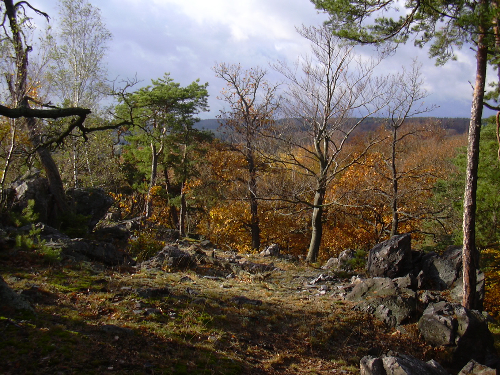
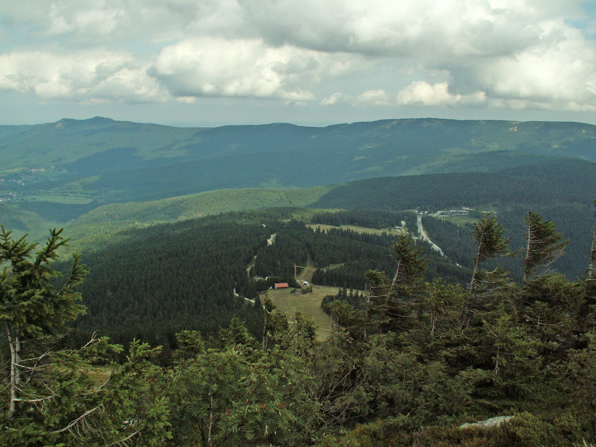
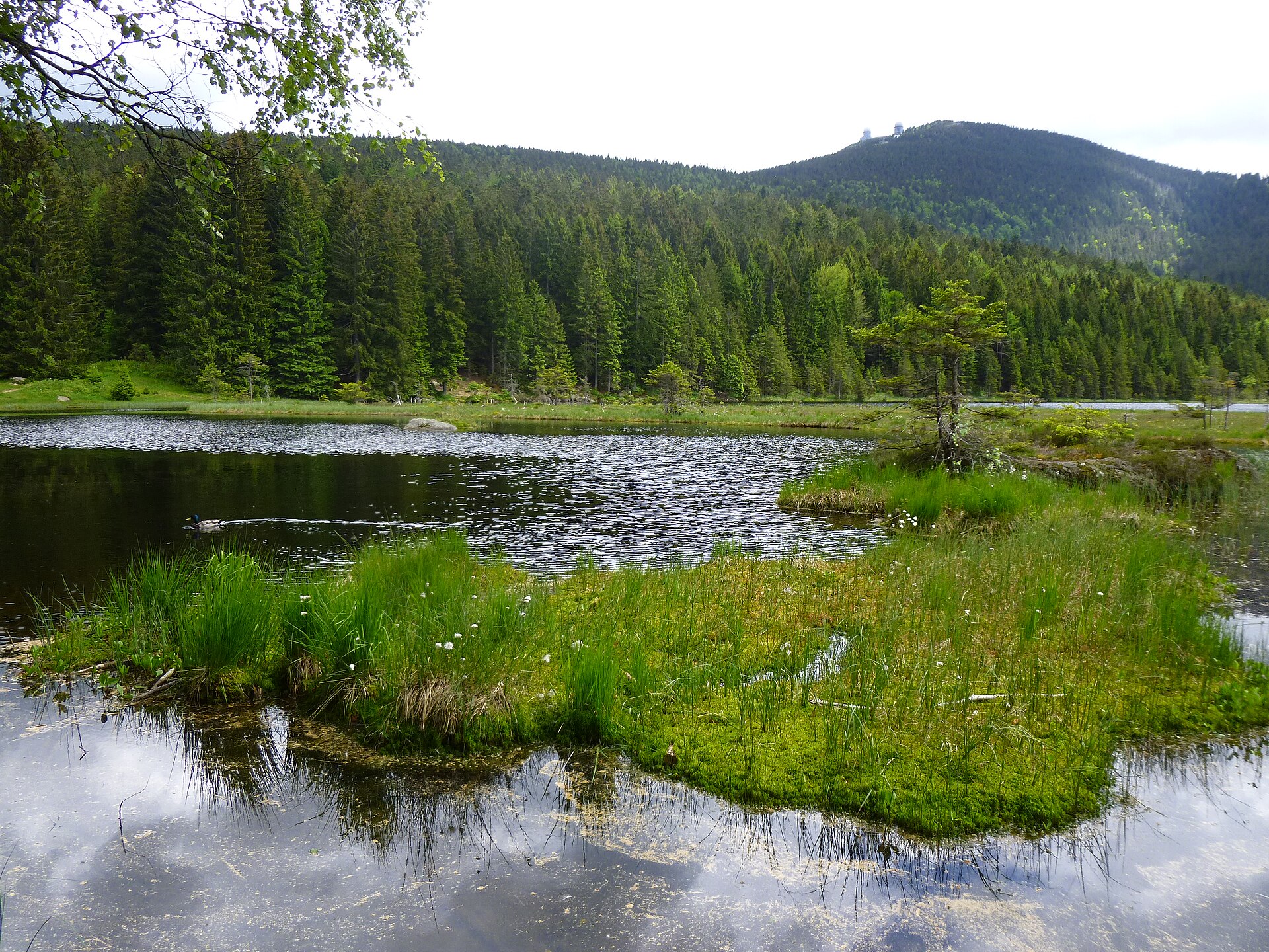
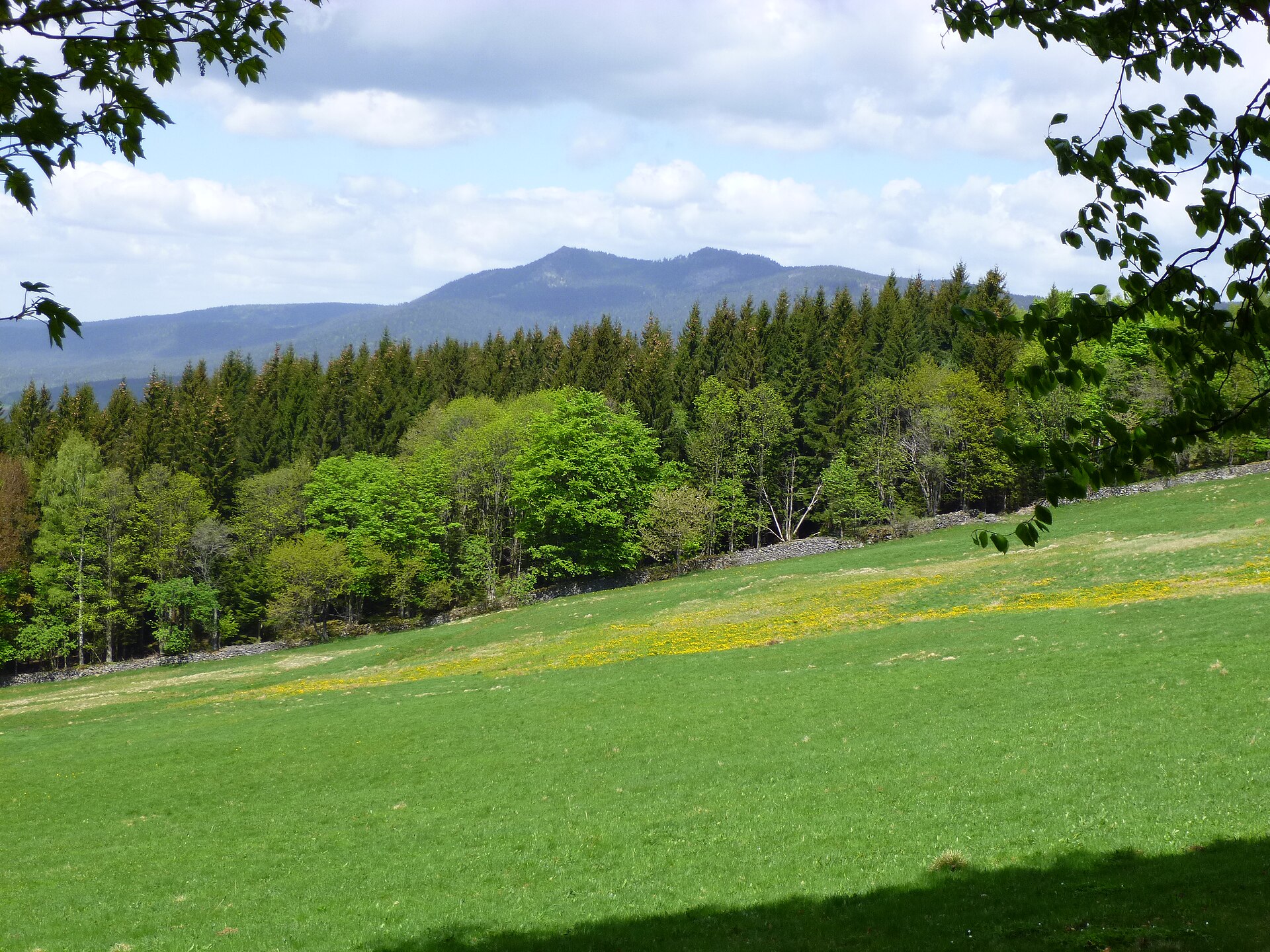
A terrestrial area, with forests.
What rocks lie beneath Brdy Protected Landscape Area?
According to the European 1:1 million geological map (EGDI), the bedrock consists mainly of conglomerates and breccias (50% of sampled points) and phyllites and slates (38%). The geological units date mainly from the Cambrian (50% of sampled points).
What is the highest point of Brdy Protected Landscape Area?
Tok, at 865 m (OpenStreetMap).
What are the main summits of Brdy Protected Landscape Area?
Tok (865 m), Praha (862 m), Malý Tok (844 m), Bohutínský vrch (843 m) and Hradiště (839 m) (OpenStreetMap).
Which international labels apply to Brdy Protected Landscape Area?
Natura 2000 network (15 sites).
When is the best time to visit Brdy Protected Landscape Area?
Mildest period: from June to August, with average temperatures of 15 to 18 °C.
Is there snow in Brdy Protected Landscape Area?
Yes. According to NASA's MODIS satellites (2015–2025 average), snow covers most of the site in December and January, and until February on higher ground, with about 70 snow-covered days a year on average.
Are there historic monuments in Brdy Protected Landscape Area?
Yes. According to Wikidata, 10 monuments listed in the Czech central register of cultural monuments stand within the boundary. For example: “Hradiště Kokšín” in Mítov, “Usedlost č. ev. 15” in Míšov and “Tři Trubky” in Strašice.
What is the nearest large city to Brdy Protected Landscape Area?
Nearest towns of over 50,000 people, as the crow flies: Plzeň (21 km) and Kladno (38 km). Nearest airport: Václav Havel Airport Prague (PRG), about 39 km away.
How can I reach Brdy Protected Landscape Area by train?
The nearest railway station is Mirošov, less than 1 km from the site boundary.
Where can I get visitor information on site?
Informační centrum Brdy, Informační centrum Strašice and Informační centrum.
Are there waymarked hiking trails in Brdy Protected Landscape Area?
Yes. Waymarked hiking routes listed in OpenStreetMap: 57, including Svatojakubská cesta, Všerubská trasa, Rožmitál p. Třemšínem, [M] Obecnice-Sobenský rybník, [Z] Tři Trubky and [Z] Křešín. The “0051 · [Č] Čenkov - Tři trubky” route runs for about 19 km through the site, with some 430 m of ascent on its longest section.
Which species can be seen in Brdy Protected Landscape Area?
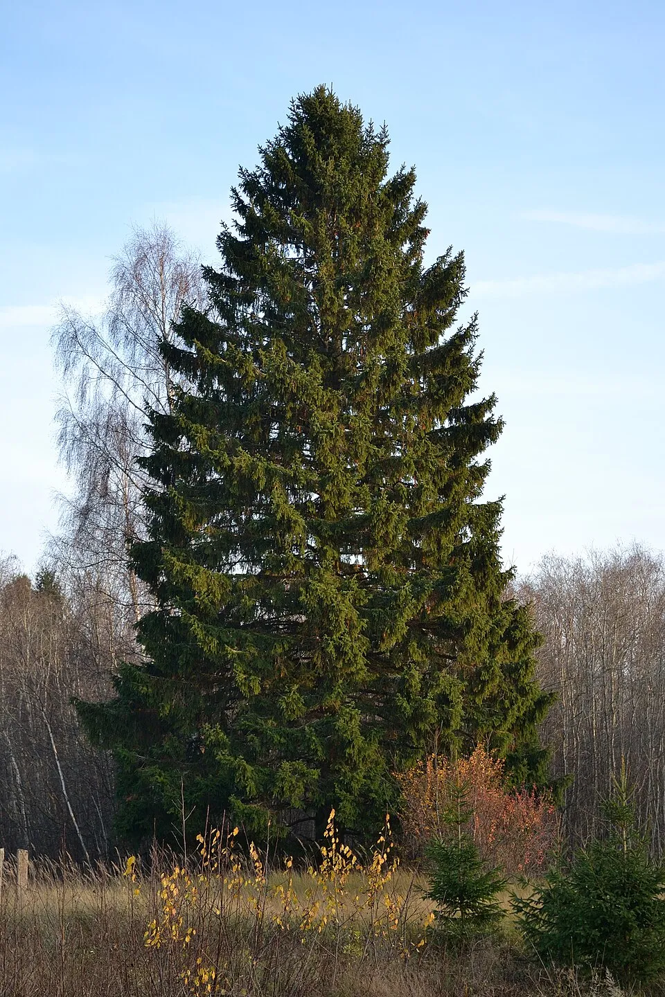
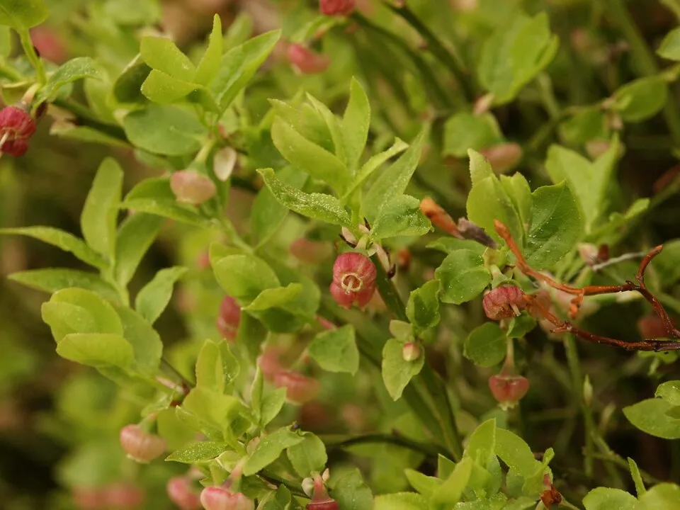
Among the species most often recorded on GBIF are Picea abies (Norway spruce), Fagus sylvatica (European Beech), Avenella flexuosa (Wavy hairgrass) and Vaccinium myrtillus (Bilberry).
What is the official website of Brdy Protected Landscape Area?
© OpenStreetMap
Download the boundary: GeoJSON · GPX Boundary © OpenStreetMap contributors (ODbL).
Geography
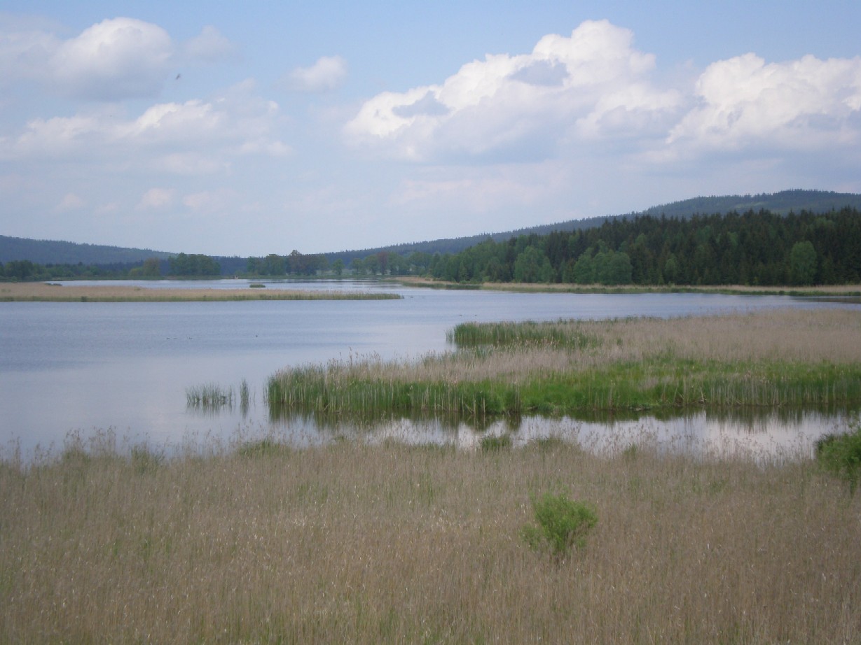
The representative point of the site lies at around 673 m above sea level. Over the 1996–2025 period, the mean annual temperature is about 7.8 °C and total precipitation reaches roughly 752 mm per year. The warmest month is usually July, the coolest January, and the wettest July. According to the European 1:1 million geological map (EGDI), the bedrock consists mainly of conglomerates and breccias (50% of sampled points) and phyllites and slates (38%). The geological units date mainly from the Cambrian (50% of sampled points). The site contains 4 lakes larger than 10 ha, totalling 1.3 km² of water (HydroLAKES). Vodní nádrž Amerika is 49 m deep (Wikidata).
Area
- Area
- 34,501 ha
- Elevation
- 673 m
- Median elevation
- 653 m
- Mean slope
- 6°
- Snow cover
- ≈ 70 days a year
- Lakes over 10 ha
- 4 (1.3 km²)
- Coordinates
- 49.7074, 13.8376
Terrain: Mapzen Terrain Tiles (SRTM, USGS) · Lakes: HydroLAKES (Messager et al. 2016, hydrosheds.org, CC BY 4.0) · depths: Wikidata (CC0)
Bedrock
- Conglomerates and breccias 50 %
- Phyllites and slates 38 %
- Mudstones 6 %
- Basalts 6 %
Sedimentary rocks 56 % · Metamorphic rocks 38 % · Igneous rocks 6 % · Main age: Cambrian (50%)
Source: EGDI 1:1M geological map (EuroGeoSurveys and national geological surveys), CC BY 4.0 · 16 sampled points within the site.
Main summits
- Tok865 m
- Praha862 m
- Malý Tok844 m
- Bohutínský vrch843 m
- Hradiště839 m
- Brdce839 m
- Koruna837 m
- Tomda836 m
- Třemšín827 m
- Jordán826 m
Data © OpenStreetMap contributors (ODbL)
Climate
● Mean temperature (°C) · ▮ Precipitation (mm)
Source: Copernicus ERA5-Land (C3S, doi:10.24381/cds.68d2bb30), monthly averages 1996–2025 interpolated to the representative point, temperatures adjusted for elevation.
Contains modified Copernicus Climate Change Service information 2026. Neither the European Commission nor ECMWF is responsible for any use that may be made of the Copernicus information or data it contains.
Snow cover measured by satellite
J
F
M
A
M
J
J
A
S
O
N
D
average share of the site under snow · snowiest parts · ≈ 70 days a year
Snow cover: MODIS/Terra MOD10CM v61 (Hall & Riggs, 2021, NASA NSIDC DAAC, doi:10.5067/MODIS/MOD10CM.061), imagery from NASA GIBS (ESDIS); 2015–2025 average, grid of about 5 km.
Natural habitats
According to CORINE Land Cover (2018), the site is mainly made up of forests (83%) and grassland and meadows (8%). Woodland is mostly coniferous. Elevation ranges from about 490 m to 865 m (highest point: Tok). The 15 Natura 2000 sites overlapping the area list 15 habitats of European interest (5 priority), the most extensive being Molinia meadows on calcareous, peaty or clayey-silt-laden soils (Molinion caeruleae), acidophilous Picea forests of the montane to alpine levels (Vaccinio-Piceetea) and Luzulo-Fagetum beech forests.
Biodiversity
Based on occurrences aggregated by GBIF, several species are regularly recorded within the site. Among the most frequent are Picea abies (Norway spruce), Fagus sylvatica (European Beech), Avenella flexuosa (Wavy hairgrass) and Vaccinium myrtillus (Bilberry). The full list of documented taxa is shown below. The overlapping Natura 2000 sites list 6 species of European interest: 1 amphibian, 2 fish and 3 invertebrates.
Habitats of European interest
From the official forms of the 15 Natura 2000 sites overlapping the area (areas reported for each whole site).
- Molinia meadows on calcareous, peaty or clayey-silt-laden soils (Molinion caeruleae) 233 ha
- Acidophilous Picea forests of the montane to alpine levels (Vaccinio-Piceetea) 113 ha
- Luzulo-Fagetum beech forests 111 ha
- European dry heaths 106 ha
- Lowland hay meadows (Alopecurus pratensis, Sanguisorba officinalis) 88 ha
- Species-rich Nardus grasslands, on silicious substrates in mountain areas (and submountain areas in Continental Europe) priority 59 ha
- Transition mires and quaking bogs 56 ha
- Bog woodland priority 24 ha
and 7 more
Species of European interest
Amphibians · 1
Invertebrates · 3
Stone crayfish (Austropotamobius torrentium), Dusky Large Blue (Maculinea nausithous), Scarce large blue (Maculinea teleius)
Source: Natura 2000 standard data forms (EEA, CC-BY 4.0). Not exhaustive: sensitive species are not published.
Species to look out for




Observed species
Occurrences documented via GBIF; they are neither an exhaustive inventory nor proof of current presence.
- Norway spruce · Picea abies · 209
- European Beech · Fagus sylvatica · 195
- Wavy hairgrass · Avenella flexuosa · 145
- Bilberry · Vaccinium myrtillus · 141
- Common Blackbird · Turdus merula · 111
- Coal tit · Periparus ater · 108
- Tufted hair-grass · Deschampsia cespitosa · 105
- Wood-sorrel · Oxalis acetosella · 102
- Great Spotted Woodpecker · Dendrocopos major · 97
- Rowan · Sorbus aucuparia · 96
- Eurasian Chaffinch · Fringilla coelebs · 94
- Great tit · Parus major · 94
+18 more species
- European robin · Erithacus rubecula · 93
- Common Chiffchaff · Phylloscopus collybita · 93
- Red fescue · Festuca rubra · 90
- Common Sorrel · Rumex acetosa · 88
- Goldcrest · Regulus regulus · 87
- Sycamore · Acer pseudoplatanus · 84
- Calamagrostis villosa · 82
- Eurasian Wren · Troglodytes troglodytes · 80
- Tormentil · Potentilla erecta · 79
- Eurasian Nuthatch · Sitta europaea · 74
- Meadow buttercup · Ranunculus acris · 74
- European Crested Tit · Lophophanes cristatus · 72
- Fen bedstraw · Galium uliginosum · 70
- Yellow Loosestrife · Lysimachia vulgaris · 70
- Song Thrush · Turdus philomelos · 70
- Common Wood Pigeon · Columba palumbus · 68
- Soft rush · Juncus effusus · 68
- Eurasian Jay · Garrulus glandarius · 68
Records: GBIF.org (CC-BY). Names: Wikidata (CC0), GBIF. Photos: Wikimedia Commons.
Conservation challenges
The primary purpose of the site is to preserve its natural habitats and the biodiversity they support. The species recorded (Biodiversity tab) reflect its ecological value. The designations it holds frame its management and the control of land use.
According to Global Forest Change data (University of Maryland, Global Forest Watch), about 5,340 ha of tree cover were lost within the boundary between 2001 and 2023 (15% of its area), peaking in 2020 and 2021. These losses include logging, storms and fires, and do not account for regrowth. Apart from forest felling and regrowth (about 4,860 ha in total), land cover remained almost unchanged between 1990 and 2018 according to CORINE Land Cover. At night, the area gives off virtually no artificial light detectable from space (NASA VIIRS Black Marble composite, 2016). According to the Natura 2000 forms, of 15 assessed habitats of European interest, 4 are in excellent condition and the rest in good condition. According to the Water Framework Directive assessment (2022 river basin management plans, data 2016–2018), none of the 51 km of rivers assessed within the site reaches good ecological status; they mostly have moderate ecological status. Invasive alien species have been recorded within the site since 2000 (GBIF observations). Among them: Impatiens parviflora (Small balsam), Epilobium ciliatum (American willowherb) and Matricaria discoidea (Pineappleweed).
Pressure indicators
Tree cover lost
5,343 ha
2001–2023 · 15% of the area
20012023
Fires since 2016
0
No large fire mapped (fires over about 30 ha)
Light at night
0%
of the area gives off artificial light visible from space
DarkLit
Built-up land
< 1%
buildings, business areas, roads, quarries · farmland 2%
Land cover change
< 0.5%
of the area changed, 1990–2018 · CORINE
forest felling and regrowth: 4,860 ha in total
Rivers and lakes
0%
of the 51 km of assessed rivers in good or high ecological status · WFD 2022
assessments 2016–2018
Invasive alien species
3
recorded since 2000
 Small balsam
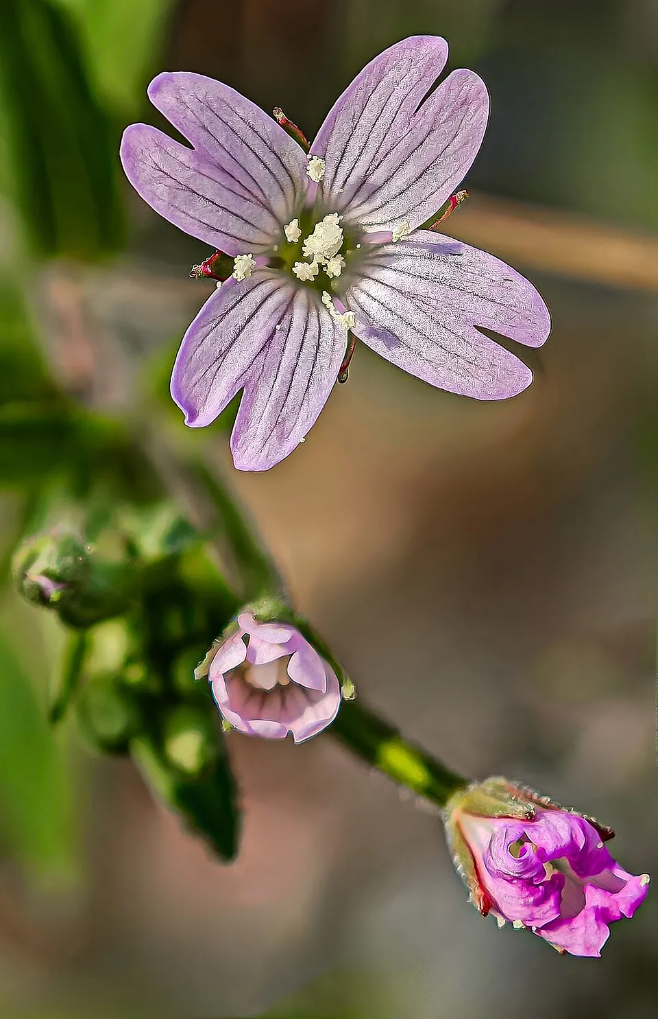 American willowherb
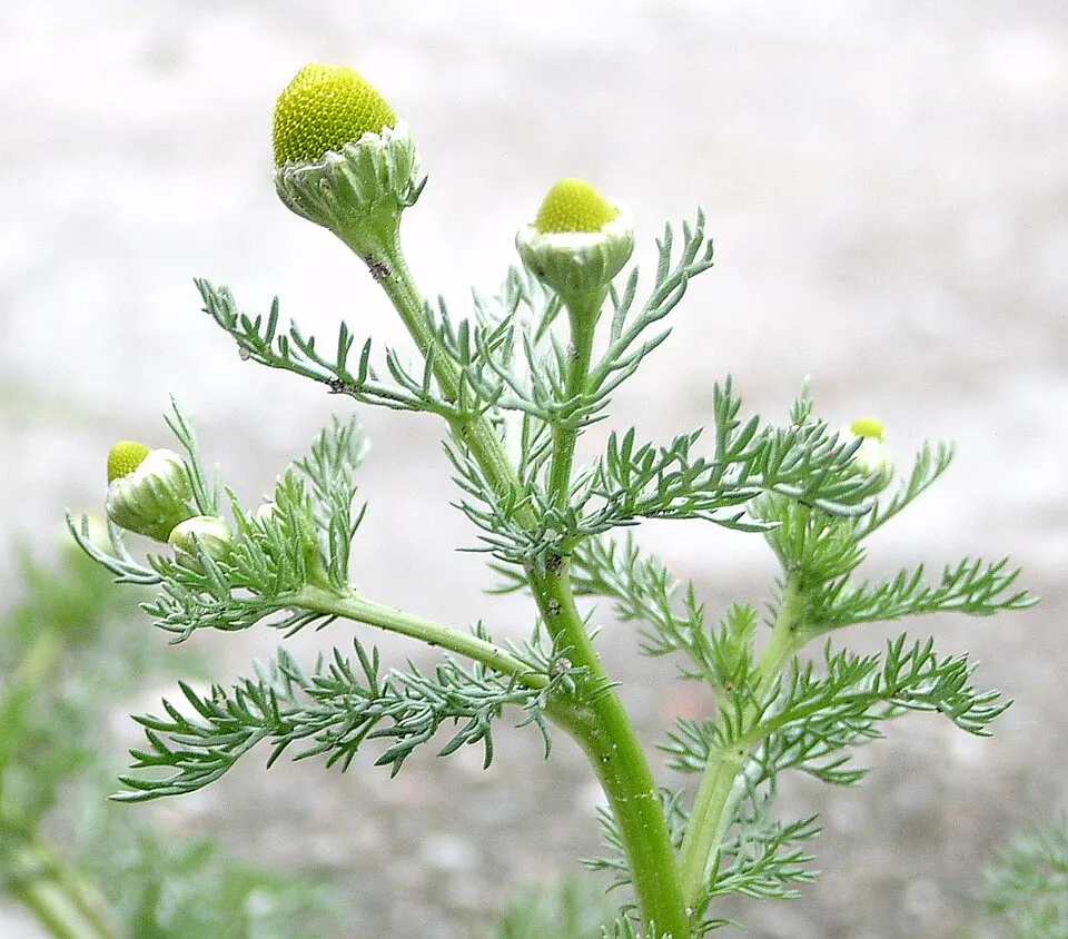 Pineappleweed
Photos: Small balsam © André Karwath aka Aka · CC BY-SA 2.5; American willowherb © Didier Descouens · CC BY-SA 4.0; Pineappleweed © Krzysztof Ziarnek · CC BY-SA 3.0
Sources: Global Forest Change (Hansen et al., University of Maryland, via Global Forest Watch, CC-BY 4.0); EFFIS, European Commission / Copernicus; NASA Black Marble 2016 (public domain); CORINE Land Cover 2018 (Copernicus) or MODIS.
CORINE Land Cover Change 1990–2018: generated using European Union's Copernicus Land Monitoring Service information (EEA), aggregated by Parkavela; DOI 10.2909/f30f1000-7cf8-43bb-872c-5eb093911b24.
Ecological status of water bodies: European Environment Agency, WISE – Water Framework Directive, 3rd river basin management plans (2022), CC BY 4.0. Official national classification, not comparable between countries.
Invasive alien species: Global Register of Introduced and Invasive Species (ISSG, CC BY 4.0); Union list, Regulation (EU) 1143/2014 (INBO, CC0); GBIF.org records (CC0 / CC BY 4.0), at least 2 per species.
Practical information
Cities and airport
- Plzeň
21 km as the crow flies - Kladno
38 km as the crow flies - Airport: Václav Havel Airport Prague (PRG)
39 km as the crow flies
Visitor information
- Informační centrum Brdy
< 1 km from the site boundary - Informační centrum Strašice
1 km from the site boundary - Informační centrum
2 km from the site boundary - Informační centrum Hořovice
3 km from the site boundary
Hiking
57 waymarked routes listed, including:
Svatojakubská cesta, Všerubská trasa, Rožmitál p. Třemšínem[M] Obecnice-Sobenský rybník[Z] Tři Trubky[Z] Křešín[Z] Příbram[Z] Brdce
By bike
PAN Paneuropa Route · 9 km315 315 - Brdská magistrála · 31 km3 3 Praha–Plzeň–Regensburg · 9 km2251 2251 Bohutín-Mirošov · 18 km
Signed cycle routes: this does not mean that cycling is allowed on footpaths.
Data © OpenStreetMap contributors (ODbL) · Wikidata (CC0)
Routes © OpenStreetMap contributors (ODbL), via Waymarked Trails
Waymarked hiking routes
Svatojakubská cesta, Všerubská trasa, Rožmitál p. Třemšínem - Kasejovice
9.3 km within the site ↗ 275 m↘ 227 m 572–819 m
Tracks © OpenStreetMap contributors (ODbL), clipped to the boundary; elevation gain and profiles computed on the longest section from Mapzen Terrain Tiles (≈ 30 m), indicative only.
Access and visiting
The nearest railway station is Mirošov, less than 1 km from the site boundary. Nearest towns of over 50,000 people, as the crow flies: Plzeň (21 km) and Kladno (38 km). Nearest airport: Václav Havel Airport Prague (PRG), about 39 km away. About 320,000 people live within 20 km of the site boundary, 140,000 of them within 10 km; some 2,900 people are estimated to live inside (GHSL estimate, 2020). This population has grown by about 9% since 2000. Visitor information on site: Informační centrum Brdy, Informační centrum Strašice and Informační centrum. Waymarked hiking routes listed in OpenStreetMap: 57, including Svatojakubská cesta, Všerubská trasa, Rožmitál p. Třemšínem, [M] Obecnice-Sobenský rybník, [Z] Tři Trubky and [Z] Křešín. The site is crossed by 12 signed cycle routes, including “PAN Paneuropa Route” and “315 315 - Brdská magistrála” (OpenStreetMap). To plan a visit (access, opening periods, visitor rules), it is best to consult the official information from the managing body and the official website listed in this page's sources.
Source: OpenStreetMap (ODbL), Wikidata (CC0), October 2026.
Built heritage
According to Wikidata, 10 monuments listed in the Czech central register of cultural monuments stand within the boundary. Among them are 7 castles and fortifications and 1 house or civic building. Examples include “Hradiště Kokšín” in Mítov, “Usedlost č. ev. 15” in Míšov and “Tři Trubky” in Strašice.
7 castles and fortifications1 house or civic building
-
Hradiště Kokšín
Mítov -
Usedlost č. ev. 15
Míšov -
Tři Trubky
Strašice · 19th c. -
Hradiště Na Zavírce
Obecnice -
CE Jordán casemate
Malá Víska · 20th c. -
Tvrziště Na zámečku
Hořehledy -
Dršťka
Skořice · 14th c. -
Hengst Castle
Hutě pod Třemšínem · 14th c.
and 2 more
Source: Wikidata (CC0), monuments in each country’s official heritage protection registers, at national or regional level. Each item links to its Wikidata entry.
When to visit
Mildest period: from June to August, with average temperatures of 15 to 18 °C. Average temperatures drop below 0 °C from December to February: frost is common. Precipitation peaks in July (up to 90 mm per month). According to NASA's MODIS satellites (2015–2025 average), snow covers most of the site in December and January, and until February on higher ground, with about 70 snow-covered days a year on average. Day length ranges from about 8 h 08 min in December to 16 h 17 min in June. Wildlife records published on GBIF peak for birds (May), plants (June) and butterflies and moths (July). These peaks also reflect when observers are most active.
Source: Copernicus ERA5-Land (C3S), monthly averages 1996–2025 at the representative point, temperatures adjusted for elevation.
Contains modified Copernicus Climate Change Service information 2026. Neither the European Commission nor ECMWF is responsible for any use that may be made of the Copernicus information or data it contains.
Wildlife records calendar
JFMAMJJASOND
Birds
Plants
Butterflies & moths
Monthly records published on GBIF (CC-BY), relative to the busiest month; also reflects observer activity.
Gallery
© Brdy-res publica · Public domain
© RenaKol · CC BY-SA 4.0
© Irena Kolackova · CC BY-SA 4.0
© Michal Ritter · CC BY 2.0
© wikipedistka IrenaKol · CC BY-SA 4.0
© Irena Kolackova · CC BY-SA 4.0
Sources and licences
- Wikidata: Q8465202
- OpenStreetMap: relation 67882
- Official website: https://brdy.aopk.gov.cz
- Wikipedia: de.wikipedia.org/wiki/CHKO_Brdy
- WDPA: 555588757
References
- cds.climate.copernicus.eu: climate · CC-BY-4.0
- registry.opendata.aws: elevation of the reference point, detailed relief · PD
- land.copernicus.eu: land cover, land cover change, sea share · COPERNICUS
- doi.org: population around the site · CC-BY-4.0
- wikidata.org: official area, establishment date, protected heritage, nearby cities and airport, access and peaks, lake depths, places to see, official website · CC0-1.0
- eea.europa.eu: bathing water quality, ecological status of waters · CC-BY-4.0
- en.eurovelo.com: EuroVelo cycle routes · ODbL-1.0
- cycling.waymarkedtrails.org: cycle routes · ODbL-1.0
- opentopodata.org: elevations · PD
- forest-fire.emergency.copernicus.eu: wildfires · COPERNICUS
- globalforestwatch.org: tree cover loss · CC-BY-4.0
- gbif.org: seasonality of sightings, invasive alien species, observed species · CC-BY-4.0
- europe-geology.eu: geology · CC-BY-4.0
- hydrosheds.org: lakes · CC-BY-4.0
- natura2000.eea.europa.eu: Natura 2000 habitats and species · CC-BY-4.0
- openstreetmap.org: official name, access and peaks, trail difficulty · ODbL-1.0
- earthobservatory.nasa.gov: night light · PD
- hiking.waymarkedtrails.org: route difficulty · ODbL-1.0
- nsidc.org: snow cover · PD
- wikidata.org: Wikipedia article · CC-BY-SA-4.0
Data © OpenStreetMap contributors (ODbL), Wikidata (CC0) and the sources cited.