Italy · Terrestrial
Cinque Terre National Park
National park of 3,860 hectares in Italy, established in 1999.
Overview
National park of 3,860 hectares in Italy, established in 1999.
Cinque Terre National Park is located in Italy (Europe). It is a predominantly terrestrial area. Established in 1999, it covers about 3,860 hectares.
Protections and designations
Natura 2000 · habitats (SAC) · 4 sites
- Costa Riomaggiore - Monterosso IT1344323
- Fondali Punta Mesco - Rio Maggiore IT1344270
- Portovenere - Riomaggiore - S. Benedetto IT1345005
- Punta Mesco IT1344210
Protected as a national park. International labels and designations: Natura 2000 network (4 sites).
In our collections
Frequently asked questions
Where is Cinque Terre National Park?
In Italy (Europe). Representative point: 44.1000° N, 9.7500° E.
How large is Cinque Terre National Park?
About 3,860 hectares (39 km²). It is the 26th largest of the 26 national parks in Italy covered by Parkavela. About 500 ha are at sea.
When was Cinque Terre National Park established?
In 1999.
What habitats and landscapes does Cinque Terre National Park include?
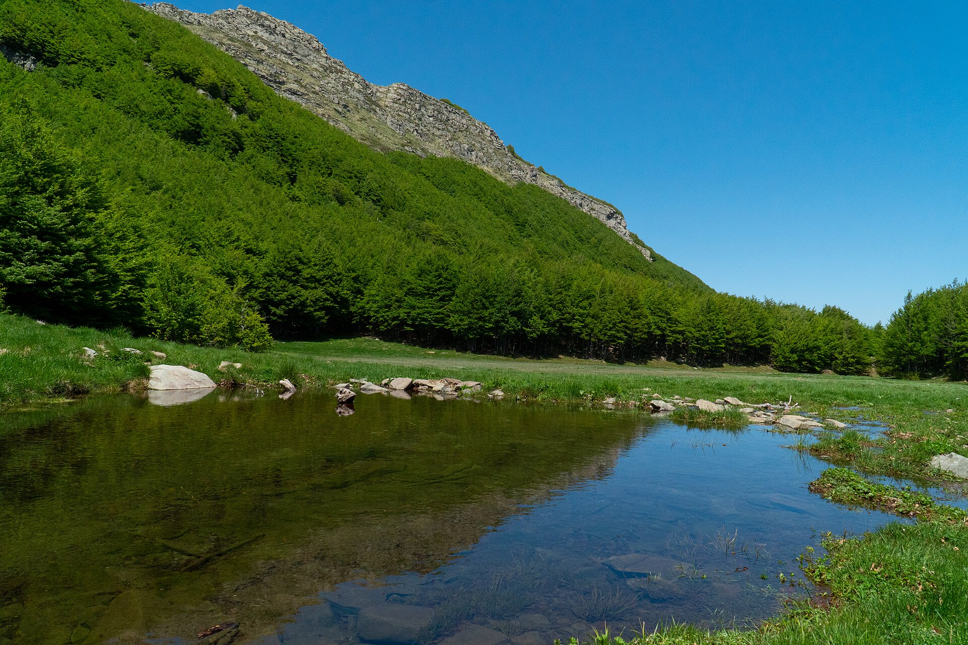
A terrestrial area, with forests, mountains and coasts.
What rocks lie beneath Cinque Terre National Park?
According to the European 1:1 million geological map (EGDI), the bedrock consists mainly of marly limestones (73% of sampled points) and mudstones (20%). These are mostly sedimentary rocks. The geological units date mainly from the Cenozoic (60% of sampled points).
What is the highest point of Cinque Terre National Park?
Monte Malpertuso, at 812 m (OpenStreetMap).
What are the main summits of Cinque Terre National Park?
Monte Malpertuso (812 m), Monte Capri (785 m), Monte Cuna (773 m), Monte Gaginara (771 m) and Monte Castello (746 m) (OpenStreetMap).
Which international labels apply to Cinque Terre National Park?
Natura 2000 network (4 sites).
When is the best time to visit Cinque Terre National Park?
Best time to visit: from April to September, with average temperatures of 12 to 24 °C and moderate rainfall.
What is there to see in Cinque Terre National Park?
79 viewpoints, 1 lake or pond and 4 caves, including Sella dei Bagari (380 m), golfo del frate, Belvedere et parking and Cinque terre Cornelia (OpenStreetMap).
Where can I stay in Cinque Terre National Park?
Campsite Parcheggio Camper "Il Poggio" (OpenStreetMap).
Are there historic monuments in Cinque Terre National Park?
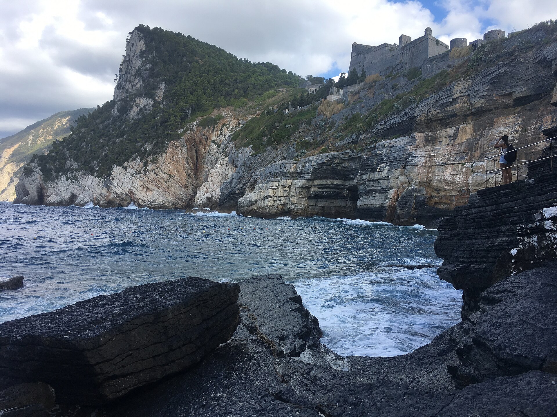
Yes. According to Wikidata, 32 monuments protected as Italian national cultural heritage stand within the boundary. For example: “Ritrovamento” in Monterosso al Mare, “Vernazza Castle” in Vernazza and “Town hall” in Monterosso al Mare.
Can you swim in Cinque Terre National Park?
25 monitored bathing sites lie in or within 1 km of the site; official 2025 classification: 22 excellent, 2 good and 1 sufficient (European Environment Agency). Swimming is only permitted at the sites and times authorised locally.
What is the nearest large city to Cinque Terre National Park?
Nearest towns of over 50,000 people, as the crow flies: La Spezia (4 km) and Carrara (23 km). Nearest airport: Pisa International Airport 'Galileo Galilei' (PSA), about 63 km away.
How can I reach Cinque Terre National Park by train?
The nearest railway station is Carrara-Avenza, about 21 km from the site boundary.
Where can I get visitor information on site?
Centro di accoglienza di Riomaggiore, Centro di accoglienza di Manarola and Cinque Terre Point.
Are there waymarked hiking trails in Cinque Terre National Park?
Yes. Waymarked hiking routes listed in OpenStreetMap: 60, including Alta Via del Golfo and Sentiero Verde Azzurro. The “Sentiero Liguria - Tappa 4” route runs for about 15 km through the site, with some 870 m of ascent on its longest section.
Which species can be seen in Cinque Terre National Park?
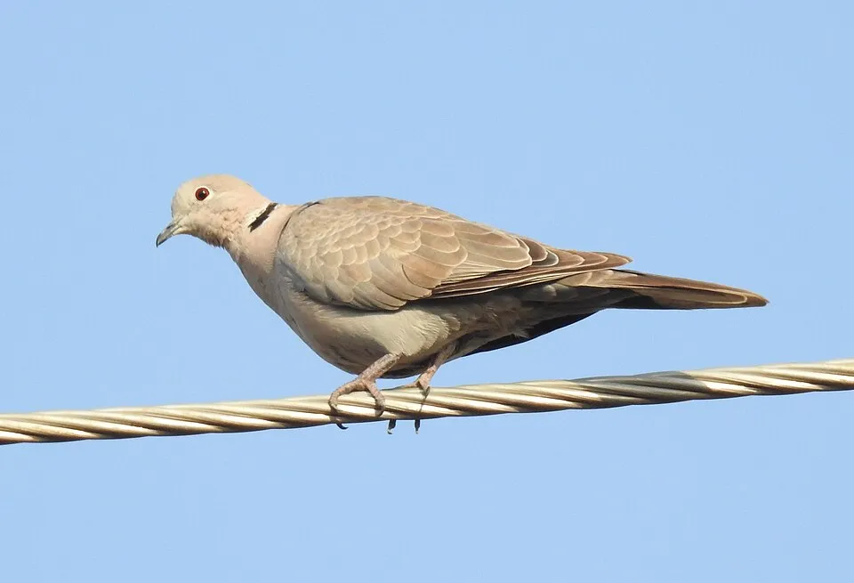
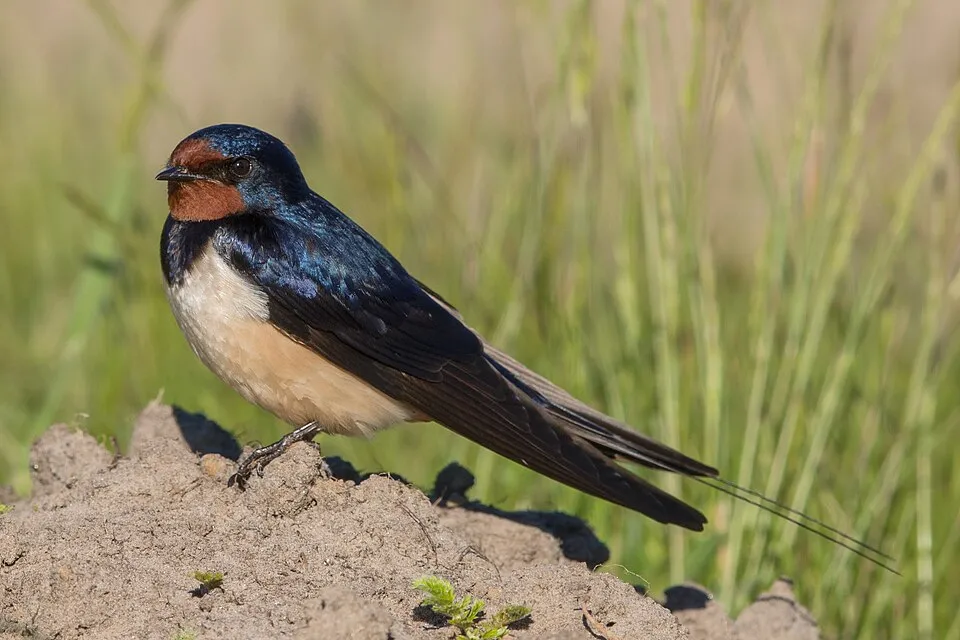
Among the species most often recorded on GBIF are Larus michahellis (Yellow-legged Gull), Turdus merula (Common Blackbird), Streptopelia decaocto (Eurasian Collared Dove) and Hirundo rustica (Barn Swallow).
© OpenStreetMap
Download the boundary: GeoJSON · GPX Boundary © OpenStreetMap contributors (ODbL).
Geography
The representative point of the site lies at around 195 m above sea level. Over the 1996–2025 period, the mean annual temperature is about 14.5 °C and total precipitation reaches roughly 1,385 mm per year. The warmest month is usually August, the coolest January, and the wettest November. According to the European 1:1 million geological map (EGDI), the bedrock consists mainly of marly limestones (73% of sampled points) and mudstones (20%). These are mostly sedimentary rocks. The geological units date mainly from the Cenozoic (60% of sampled points).
Area
- Area
- 3,860 ha
- Elevation
- 195 m
- Median elevation
- 331 m
- Mean slope
- 23°
- Coordinates
- 44.1, 9.75
Terrain: Mapzen Terrain Tiles (SRTM, USGS)
Bedrock
- Marly limestones 73 %
- Mudstones 20 %
- Limestones 7 %
Sedimentary rocks 100 % · Main age: Cenozoic (60%)
Source: EGDI 1:1M geological map (EuroGeoSurveys and national geological surveys), CC BY 4.0 · 15 sampled points within the site.
Main summits
- Monte Malpertuso812 m
- Monte Capri785 m
- Monte Cuna773 m
- Monte Gaginara771 m
- Monte Castello746 m
- Monte Galera726 m
- Monte Le Croci720 m
- Monte Pizzolo702 m
- Monte Marvede698 m
- Monte Fornello671 m
Data © OpenStreetMap contributors (ODbL)
Climate
● Mean temperature (°C) · ▮ Precipitation (mm)
Source: Copernicus ERA5-Land (C3S, doi:10.24381/cds.68d2bb30), monthly averages 1996–2025 interpolated to the representative point, temperatures adjusted for elevation.
Contains modified Copernicus Climate Change Service information 2026. Neither the European Commission nor ECMWF is responsible for any use that may be made of the Copernicus information or data it contains.
Natural habitats
According to CORINE Land Cover (2018), the site is mainly made up of forests (52%), farmland (20%) and Mediterranean scrub (14%). Woodland mixes broadleaved and coniferous trees. The site borders the coast. Elevation ranges from sea level to 812 m (highest point: Monte Malpertuso). The terrain is steep: 21% of slopes exceed 30° (mean slope 23°). The 4 Natura 2000 sites overlapping the area list 24 habitats of European interest (6 priority), the most extensive being Castanea sativa woods, Quercus ilex and Quercus rotundifolia forests and Mediterranean pine forests with endemic Mesogean pines.
Biodiversity
Based on occurrences aggregated by GBIF, several species are regularly recorded within the site. Among the most frequent are Larus michahellis (Yellow-legged Gull), Turdus merula (Common Blackbird), Streptopelia decaocto (Eurasian Collared Dove) and Hirundo rustica (Barn Swallow). The full list of documented taxa is shown below. The overlapping Natura 2000 sites list 17 species of European interest: 8 mammals, 3 reptiles, 2 amphibians, 2 invertebrates and 2 plants.
Habitats of European interest
From the official forms of the 4 Natura 2000 sites overlapping the area (areas reported for each whole site).
- Castanea sativa woods 671 ha
- Quercus ilex and Quercus rotundifolia forests 391 ha
- Mediterranean pine forests with endemic Mesogean pines 387 ha
- Sandbanks which are slightly covered by sea water all the time 356 ha
- Thermo-Mediterranean and pre-desert scrub 98 ha
- Reefs 86 ha
- Posidonia beds (Posidonion oceanicae) priority 39 ha
- Eastern white oak woods priority 36 ha
and 16 more
Species of European interest
Mammals · 8
Savi's Pipistrelle (Hypsugo savii), Common bent-wing bat (Miniopterus schreibersii), Geoffroy's bat (Myotis emarginatus), Common noctule (Nyctalus noctula), Kuhl's pipistrelle (Pipistrellus kuhlii), Greater Horseshoe Bat (Rhinolophus ferrumequinum), Lesser horseshoe bat (Rhinolophus hipposideros), European free-tailed bat (Tadarida teniotis)
Reptiles · 3
Western Whip Snake (Hierophis viridiflavus), Common wall lizard (Podarcis muralis), Aesculapian Snake (Zamenis longissimus)
Amphibians · 2
Stripeless tree frog (Hyla meridionalis), Ambrosi's Cave Salamander (Speleomantes ambrosii)
Invertebrates · 2
Jersey Tiger (Euplagia quadripunctaria), Fan Mussel (Pinna nobilis)
Source: Natura 2000 standard data forms (EEA, CC-BY 4.0). Not exhaustive: sensitive species are not published.
Species to look out for


Observed species
Occurrences documented via GBIF; they are neither an exhaustive inventory nor proof of current presence.
- Yellow-legged Gull · Larus michahellis · 669
- Rock Dove · Columba livia · 409
- Common Blackbird · Turdus merula · 396
- Eurasian Collared Dove · Streptopelia decaocto · 389
- Barn Swallow · Hirundo rustica · 321
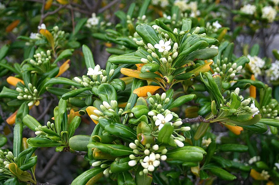
- Japanese cheesewood · Pittosporum tobira · 300
- Common Swift · Apus apus · 281
- Italian Sparrow · Passer italiae · 263
- Sardinian Warbler · Curruca melanocephala · 225
- European robin · Erithacus rubecula · 220
- Eurasian Blackcap · Sylvia atricapilla · 210
- Eurasian Jay · Garrulus glandarius · 204
+18 more species
- White Wagtail · Motacilla alba · 204
- Great tit · Parus major · 175
- European Serin · Serinus serinus · 158
- Common smilax · Smilax aspera · 158
- Salvia cistus · Cistus salviifolius · 157
- European Goldfinch · Carduelis carduelis · 155
- Common House Martin · Delichon urbicum · 153
- Mediterranean Buckthorn · Rhamnus alaternus · 145
- Eurasian Chaffinch · Fringilla coelebs · 141
- Rhaphiolepis bibas · 133
- Common Buzzard · Buteo buteo · 128
- Tree Spurge · Euphorbia dendroides · 127
- Blue passionflower · Passiflora caerulea · 121
- Common Kestrel · Falco tinnunculus · 111
- Hooded Crow · Corvus cornix · 109
- Black-headed Gull · Chroicocephalus ridibundus · 108
- Eurasian blue tit · Cyanistes caeruleus · 96
- Red-billed Leiothrix · Leiothrix lutea · 96
Records: GBIF.org (CC-BY). Names: Wikidata (CC0), GBIF. Photos: Wikimedia Commons.
Conservation challenges
The primary purpose of the site is to preserve its natural habitats and the biodiversity they support. The species recorded (Biodiversity tab) reflect its ecological value. The designations it holds frame its management and the control of land use.
According to Global Forest Change data (University of Maryland, Global Forest Watch), about 175 ha of tree cover were lost within the boundary between 2001 and 2023 (5% of its area), peaking in 2010 and 2012. These losses include logging, storms and fires, and do not account for regrowth. According to the European CORINE Land Cover inventory (Copernicus), land cover changed on about 161 ha of the site between 1990 and 2018 (5% of its area): forest shrank by 57 ha, mostly giving way to open natural land, while open natural land grew by 57 ha, mostly at the expense of forest. At night, 16% of the area gives off artificial light detectable from space (NASA VIIRS Black Marble composite, 2016). According to the Natura 2000 forms, of 22 assessed habitats of European interest, 6 are in excellent condition and 3 in average or reduced condition. According to the Water Framework Directive assessment (2022 river basin management plans, data 2014–2019), water bodies assessed within the site: coastal waters, 3 of 3 in good ecological status or better. Since 2000, 13 invasive alien species have been recorded within the site (GBIF observations), one of them listed as of Union concern under EU Regulation 1143/2014. Among them: Ailanthus altissima (Tree-of-heaven), Oxalis pes-caprae (Bermuda buttercup) and Agave americana (American century plant).
Pressure indicators
Tree cover lost
175 ha
2001–2023 · 5% of the area
20012023
Fires since 2016
0
No large fire mapped (fires over about 30 ha)
Light at night
16%
of the area gives off artificial light visible from space
DarkLit
Land cover change
161 ha
changed cover, 1990–2018 · CORINE · 5% of the area
- −57 ha · forest
- +57 ha · open natural land
Rivers and lakes
Coastal waters: 3 of 3 good or better
assessments 2014–2019
Invasive alien species
13
incl. 1 of EU concern · since 2000
 Tree-of-heavenEU
 Bermuda buttercup
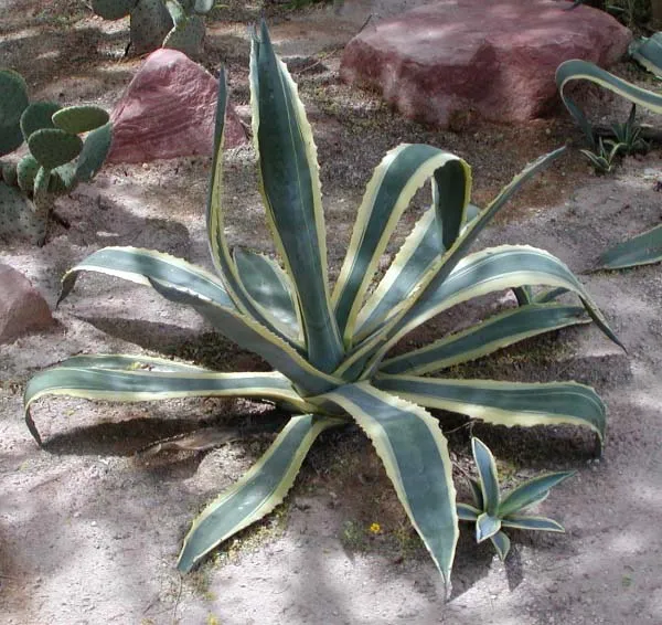 American century plant
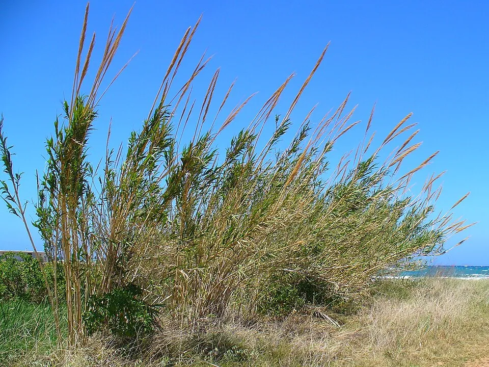 Giant Reed
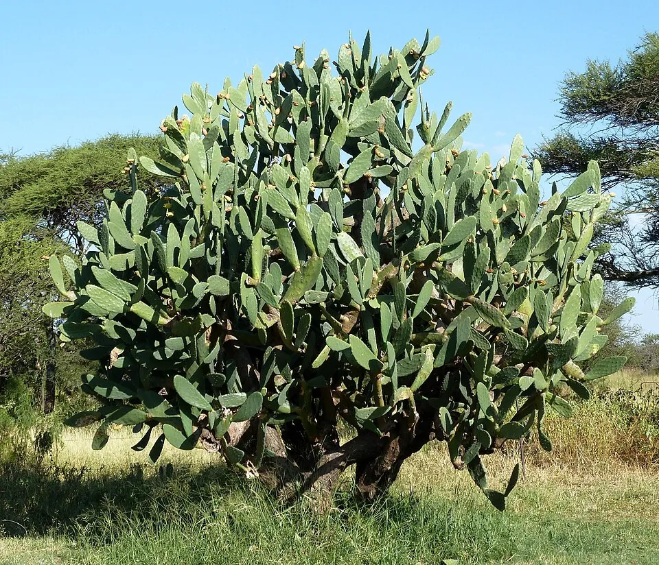 Tuna Cactus
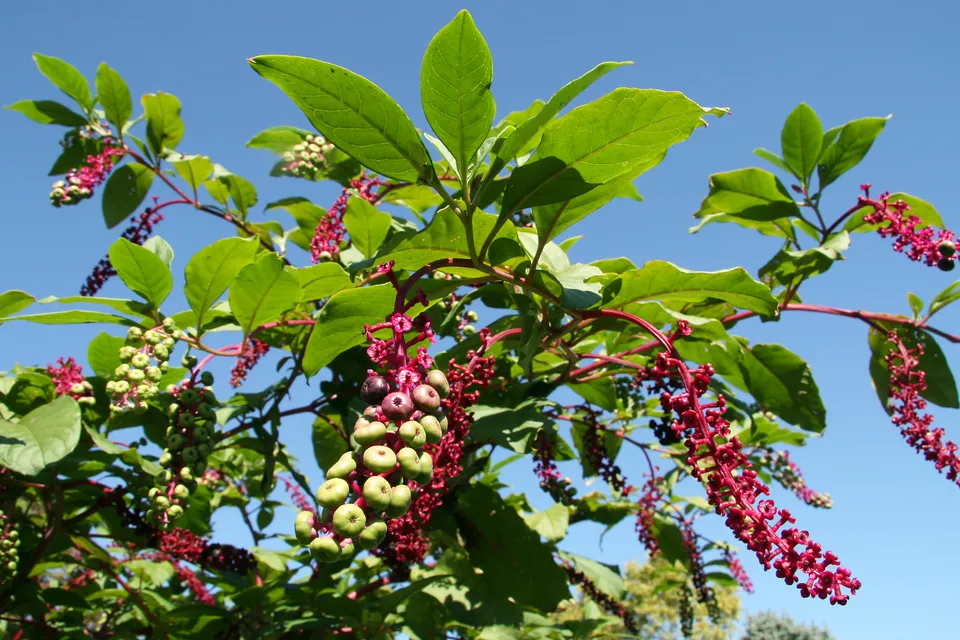 American pokeweed
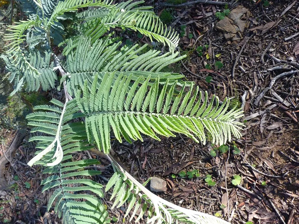 Silver Wattle
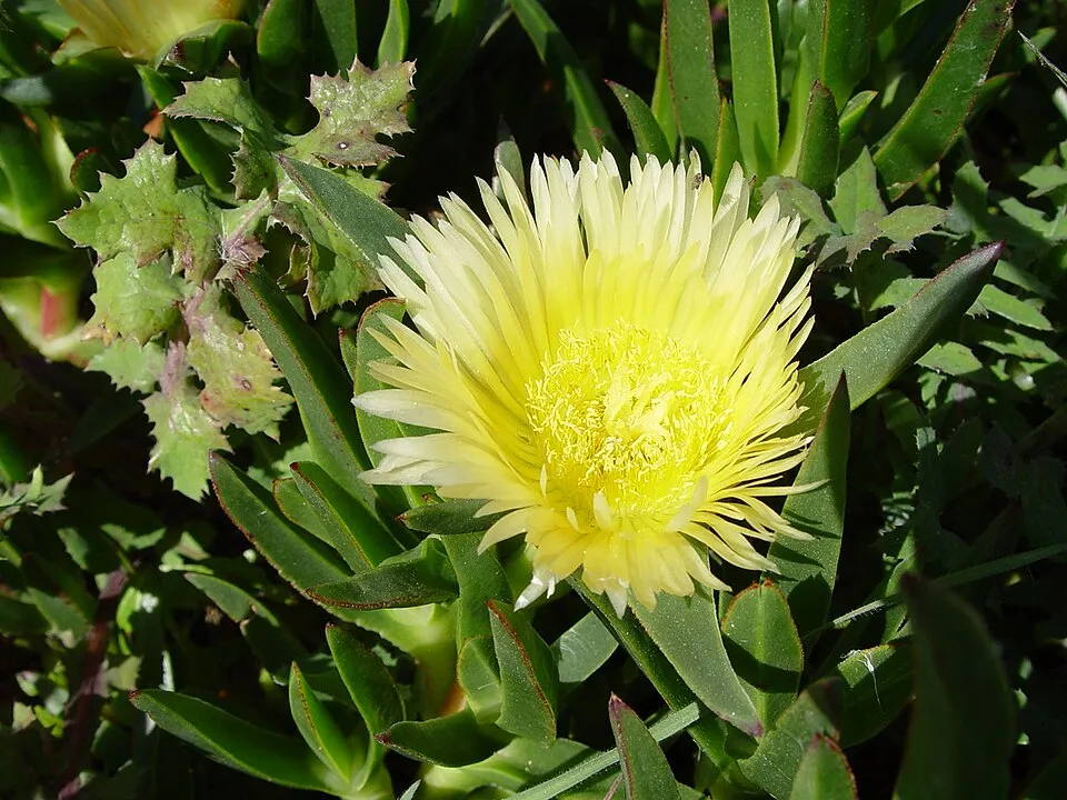 Hottentot-fig
Photos: Tree-of-heaven © Darkone · CC BY-SA 2.5; Bermuda buttercup © MathKnight and Zachi Evenor אביר המתמטיקה וצחי אבנור · CC BY-SA 4.0; American century plant © Stan Shebs · CC BY-SA 3.0; Giant Reed © H. Zell · CC BY-SA 3.0; Tuna Cactus © JMK · CC BY-SA 3.0; American pokeweed © Huw Williams (Huwmanbeing) · Public domain; Silver Wattle © Donald Hobern from Copenhagen, Denmark · CC BY 2.0; Hottentot-fig © Taken by Carsten Niehaus (user:Lumbar). · CC BY-SA 3.0
Sources: Global Forest Change (Hansen et al., University of Maryland, via Global Forest Watch, CC-BY 4.0); EFFIS, European Commission / Copernicus; NASA Black Marble 2016 (public domain); CORINE Land Cover 2018 (Copernicus) or MODIS.
CORINE Land Cover Change 1990–2018: generated using European Union's Copernicus Land Monitoring Service information (EEA), aggregated by Parkavela; DOI 10.2909/f30f1000-7cf8-43bb-872c-5eb093911b24.
Ecological status of water bodies: European Environment Agency, WISE – Water Framework Directive, 3rd river basin management plans (2022), CC BY 4.0. Official national classification, not comparable between countries.
Invasive alien species: Global Register of Introduced and Invasive Species (ISSG, CC BY 4.0); Union list, Regulation (EU) 1143/2014 (INBO, CC0); GBIF.org records (CC0 / CC BY 4.0), at least 2 per species.
Practical information
Cities and airport
- La Spezia
4 km as the crow flies - Carrara
23 km as the crow flies - Airport: Pisa International Airport 'Galileo Galilei' (PSA)
63 km as the crow flies
Visitor information
- Centro di accoglienza di Riomaggiore
within the site - Centro di accoglienza di Manarola
within the site - Cinque Terre Point
within the site - Centro di accoglienza di Vernazza
within the site
Parking
125 public car parks listed within the site
Public parking RiomaggioreMonterosso ParkingParcheggio Loreto 2
Things to see
79 viewpoints · 1 lake or pond · 4 caves
- Sella dei Bagari
viewpoint · 380 m - golfo del frate
lake or pond - Belvedere et parking
viewpoint - Cinque terre Cornelia
viewpoint - Panorama su Riomaggiore e mare
viewpoint
Hiking
60 waymarked routes listed, including:
Alta Via del GolfoSentiero Verde Azzurro
Trail difficulty
- T1 · easy hiking · 45% · 38 km
- T2 · mountain hiking · 55% · 48 km
86 km graded out of 173 km of paths
SAC scale (T1–T6) © OpenStreetMap contributors (ODbL): indicative only, check with the park.
By bike
BI-19 Ciclovia Tirrenica · 27 kmBI-3 var. Moncenisio Ciclovia Francigena - variante Moncenisio · 25 km
Signed cycle routes: this does not mean that cycling is allowed on footpaths.
Wheelchair access
- Centro di accoglienza di Manarola
visitor information - Panorama su Riomaggiore e mare
viewpoint - Piazza Guglielmo Marconi
path - Via dell'Amore
path
accessible toilets: 1
Reported by OpenStreetMap contributors (ODbL); check with the park before visiting.
Data © OpenStreetMap contributors (ODbL) · Wikidata (CC0)
Routes © OpenStreetMap contributors (ODbL), via Waymarked Trails
Waymarked hiking routes
AVG Alta Via del Golfo: La Foce - Portovenere
1.1 km within the site ↗ 0 m↘ 73 m 361–435 m
SVA Sentiero Verde Azzurro: Monterosso (Fegina) - Levanto
4.6 km within the site ↗ 356 m↘ 143 m 3–306 m
Via della Costa - tappa 11
11.3 km within the site ↗ 590 m↘ 175 m 304–781 m
Sentiero Liguria - Tappa 4
14.7 km within the site ↗ 871 m↘ 895 m 3–422 m
Sentiero Liguria - Tappa 3
9.3 km within the site ↗ 267 m↘ 596 m 20–522 m
up to T2 · mountain hiking
Tracks © OpenStreetMap contributors (ODbL), clipped to the boundary; elevation gain and profiles computed on the longest section from Mapzen Terrain Tiles (≈ 30 m), indicative only. Indicative difficulty (SAC scale, OpenStreetMap, via Waymarked Trails): check with the park.
Bathing
25 monitored bathing sites in or within 1 km of the site · 2025 classification
Excellent · 22
Good · 2
Sufficient · 1
- Banca · sea · Excellent
- Centro Golfo · sea · Excellent
- Corniglia · sea · Excellent
- Costa Chiara · sea · Excellent
- Fegina · sea · Excellent
- Fossola · sea · Excellent
- Gambazza · sea · Excellent
- Guvano · sea · Excellent
- La Gatta · sea · Excellent
- La Spiaggia · sea · Excellent
and 15 more
Source: European Environment Agency, official bathing water classification (Directive 2006/7/EC, CC-BY 4.0). Swimming is only permitted at the sites and times authorised locally.
Access and visiting
The nearest railway station is Carrara-Avenza, about 21 km from the site boundary. Nearest towns of over 50,000 people, as the crow flies: La Spezia (4 km) and Carrara (23 km). Nearest airport: Pisa International Airport 'Galileo Galilei' (PSA), about 63 km away. About 260,000 people live within 20 km of the site boundary, 140,000 of them within 10 km; some 3,800 people are estimated to live inside (GHSL estimate, 2020). Visitor information on site: Centro di accoglienza di Riomaggiore, Centro di accoglienza di Manarola and Cinque Terre Point. Public car parks listed within the site: 125, including Public parking Riomaggiore, Monterosso Parking and Parcheggio Loreto 2. Waymarked hiking routes listed in OpenStreetMap: 60, including Alta Via del Golfo and Sentiero Verde Azzurro. Of the roughly 90 km of paths with a difficulty grade in OpenStreetMap, 45% are easy hiking (T1) and 55% mountain hiking (T2). This is indicative only: check with the park. The site is crossed by 2 signed cycle routes: “BI-19 Ciclovia Tirrenica” and “BI-3 var. Moncenisio Ciclovia Francigena - variante Moncenisio” (OpenStreetMap). OpenStreetMap contributors list 4 wheelchair-accessible places, including Centro di accoglienza di Manarola and Panorama su Riomaggiore e mare; check with the park before visiting. To see: 79 viewpoints, 1 lake or pond and 4 caves, including Sella dei Bagari (380 m), golfo del frate, Belvedere et parking and Cinque terre Cornelia. Where to stay: campsite Parcheggio Camper "Il Poggio". To plan a visit (access, opening periods, visitor rules), it is best to consult the official information from the managing body and the official website listed in this page's sources.
Source: OpenStreetMap (ODbL), Wikidata (CC0), October 2026.
Built heritage
According to Wikidata, 32 monuments protected as Italian national cultural heritage stand within the boundary. Among them are 24 religious buildings, 5 castles and fortifications and 2 houses and civic buildings. Examples include “Ritrovamento” in Monterosso al Mare, “Vernazza Castle” in Vernazza and “Town hall” in Monterosso al Mare.
24 religious buildings5 castles and fortifications2 houses and civic buildings
-
Ritrovamento
Monterosso al Mare · 8th c. -
Vernazza Castle
Vernazza · 13th c. -
Town hall
Monterosso al Mare · 20th c. -
Semaforo di Punta Mesco
Levanto -
Santa Maria Maddalena
Monterosso al Mare · 15th c. -
Castello dei Fieschi
Monterosso al Mare · 10th c. -
Via Gioberti
Monterosso al Mare · 19th c. -
Gesù, Maria e Giuseppe
Monterosso al Mare · 18th c.
and 24 more
Source: Wikidata (CC0), monuments in each country’s official heritage protection registers, at national or regional level. Each item links to its Wikidata entry.
When to visit
Best time to visit: from April to September, with average temperatures of 12 to 24 °C and moderate rainfall. Precipitation peaks in October and November (up to 200 mm per month). Day length ranges from about 8 h 53 min in December to 15 h 29 min in June. Wildlife records published on GBIF peak for birds (from April to June), plants (from April to June), butterflies and moths (from May to July) and dragonflies (July and August). These peaks also reflect when observers are most active.
Source: Copernicus ERA5-Land (C3S), monthly averages 1996–2025 at the representative point, temperatures adjusted for elevation.
Contains modified Copernicus Climate Change Service information 2026. Neither the European Commission nor ECMWF is responsible for any use that may be made of the Copernicus information or data it contains.
Wildlife records calendar
JFMAMJJASOND
Birds
Plants
Butterflies & moths
Dragonflies
Monthly records published on GBIF (CC-BY), relative to the busiest month; also reflects observer activity.
Gallery
© Bernd Gehrmann · CC BY-SA 3.0
© Timothy A. Gonsalves · CC BY-SA 4.0
© The Cosmonaut · CC BY-SA 2.5
© Davide Mauro · CC BY-SA 4.0
© Davide Mauro · CC BY-SA 4.0
© Superchilum · CC BY-SA 4.0
Sources and licences
- Wikidata: Q1886487
- OpenStreetMap: relation 952904
- Wikipedia: en.wikipedia.org/wiki/Cinque_Terre_National_Park
- WDPA: 178784
References
- cds.climate.copernicus.eu: climate · CC-BY-4.0
- registry.opendata.aws: elevation of the reference point, detailed relief · PD
- land.copernicus.eu: land cover, land cover change, sea share · COPERNICUS
- doi.org: population around the site · CC-BY-4.0
- wikidata.org: official area, establishment date, protected heritage, nearby cities and airport, access and peaks, lake depths, places to see · CC0-1.0
- eea.europa.eu: bathing water quality, ecological status of waters · CC-BY-4.0
- en.eurovelo.com: EuroVelo cycle routes · ODbL-1.0
- cycling.waymarkedtrails.org: cycle routes · ODbL-1.0
- opentopodata.org: elevations · PD
- forest-fire.emergency.copernicus.eu: wildfires · COPERNICUS
- globalforestwatch.org: tree cover loss · CC-BY-4.0
- gbif.org: seasonality of sightings, invasive alien species, observed species · CC-BY-4.0
- europe-geology.eu: geology · CC-BY-4.0
- hydrosheds.org: lakes · CC-BY-4.0
- natura2000.eea.europa.eu: Natura 2000 habitats and species · CC-BY-4.0
- openstreetmap.org: official name, access and peaks, places to see, trail difficulty, wheelchair access · ODbL-1.0
- earthobservatory.nasa.gov: night light · PD
- hiking.waymarkedtrails.org: route difficulty · ODbL-1.0
- nsidc.org: snow cover · PD
- wikidata.org: Wikipedia article · CC-BY-SA-4.0
Data © OpenStreetMap contributors (ODbL), Wikidata (CC0) and the sources cited.