
Greece · Terrestrial
Lake Kerkini National Park
National park of 78,330 hectares in Greece.
Overview
National park of 78,330 hectares in Greece.
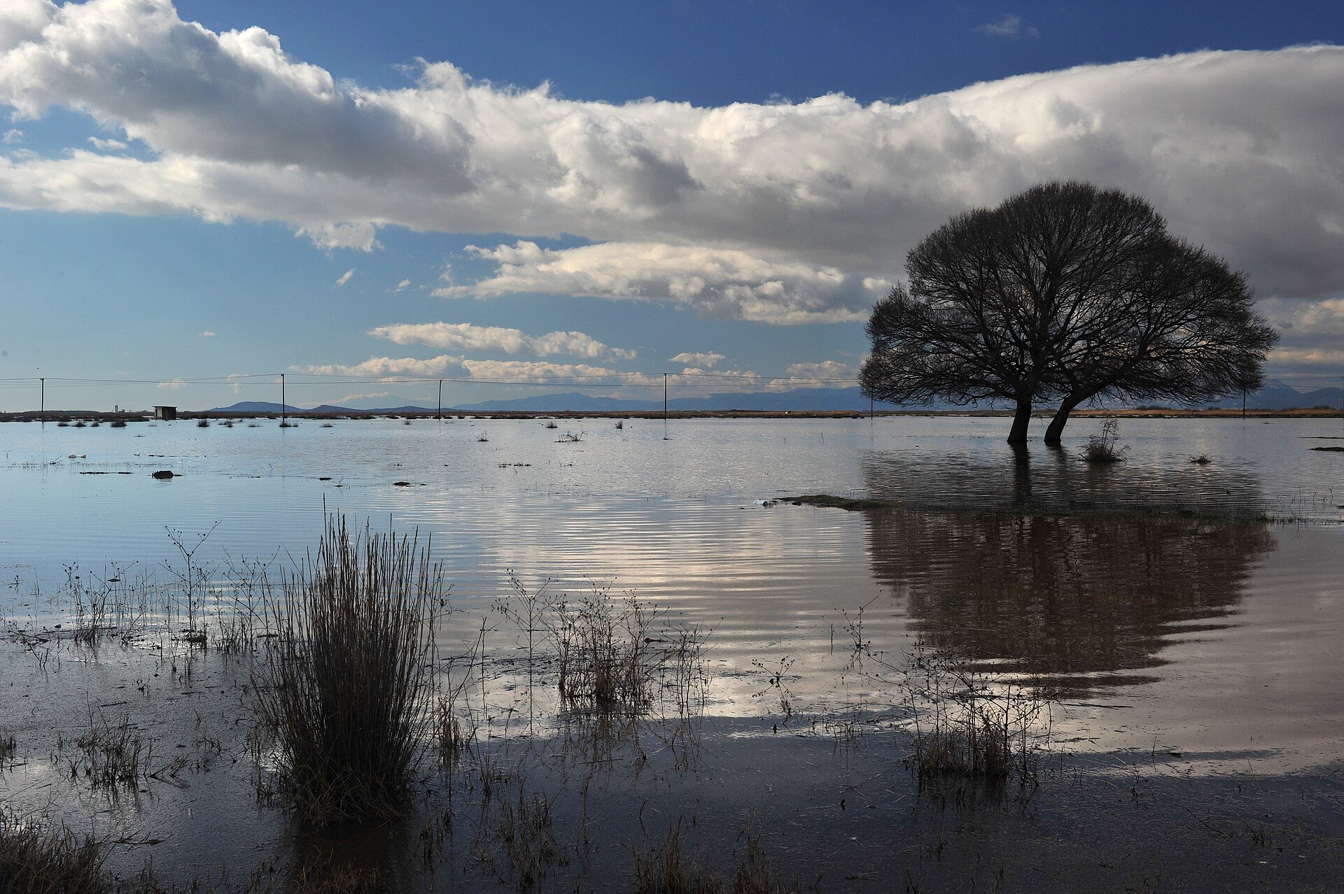
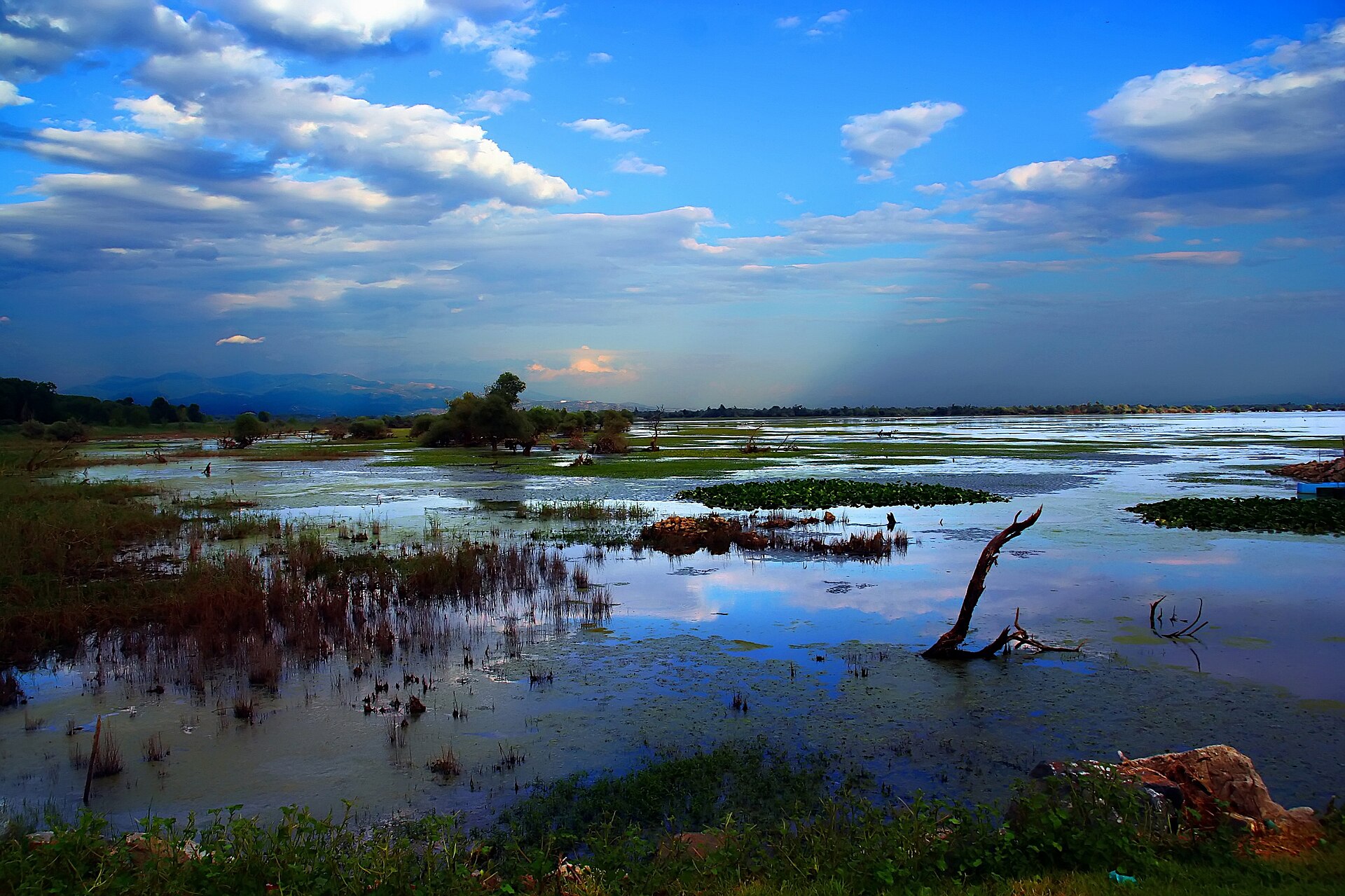
Lake Kerkini National Park is located in Greece (Europe). It is a predominantly terrestrial area. It covers about 78,330 hectares.
Protections and designations
Ramsar site
Natura 2000 · habitats (SAC)
Natura 2000 · birds (SPA) · 2 sites
- Oros Beles GR1260010
- Techniti Limni Kerkinis - Oros Krousia GR1260008
Protected as a national park. International labels and designations: Ramsar site (“Lake Kerkini”) and Natura 2000 network (3 sites). Key dates: first Natura 2000 site under the Birds Directive in 1988 and first Natura 2000 site under the Habitats Directive in 2011.
In our collections
Timeline
-
1988
First Natura 2000 site under the Birds Directive 2 such sites designated up to 2001
-
2011
First Natura 2000 site under the Habitats Directive
Sources: Wikidata (CC0) for establishment and international labels; EEA Natura 2000 database (CC-BY 4.0) for site designation dates.
Frequently asked questions
Where is Lake Kerkini National Park?
In Greece (Europe). Representative point: 41.2590° N, 23.1403° E.
How large is Lake Kerkini National Park?
About 78,330 hectares (783 km²). It is the 5th largest of the 14 national parks in Greece covered by Parkavela.
What habitats and landscapes does Lake Kerkini National Park include?
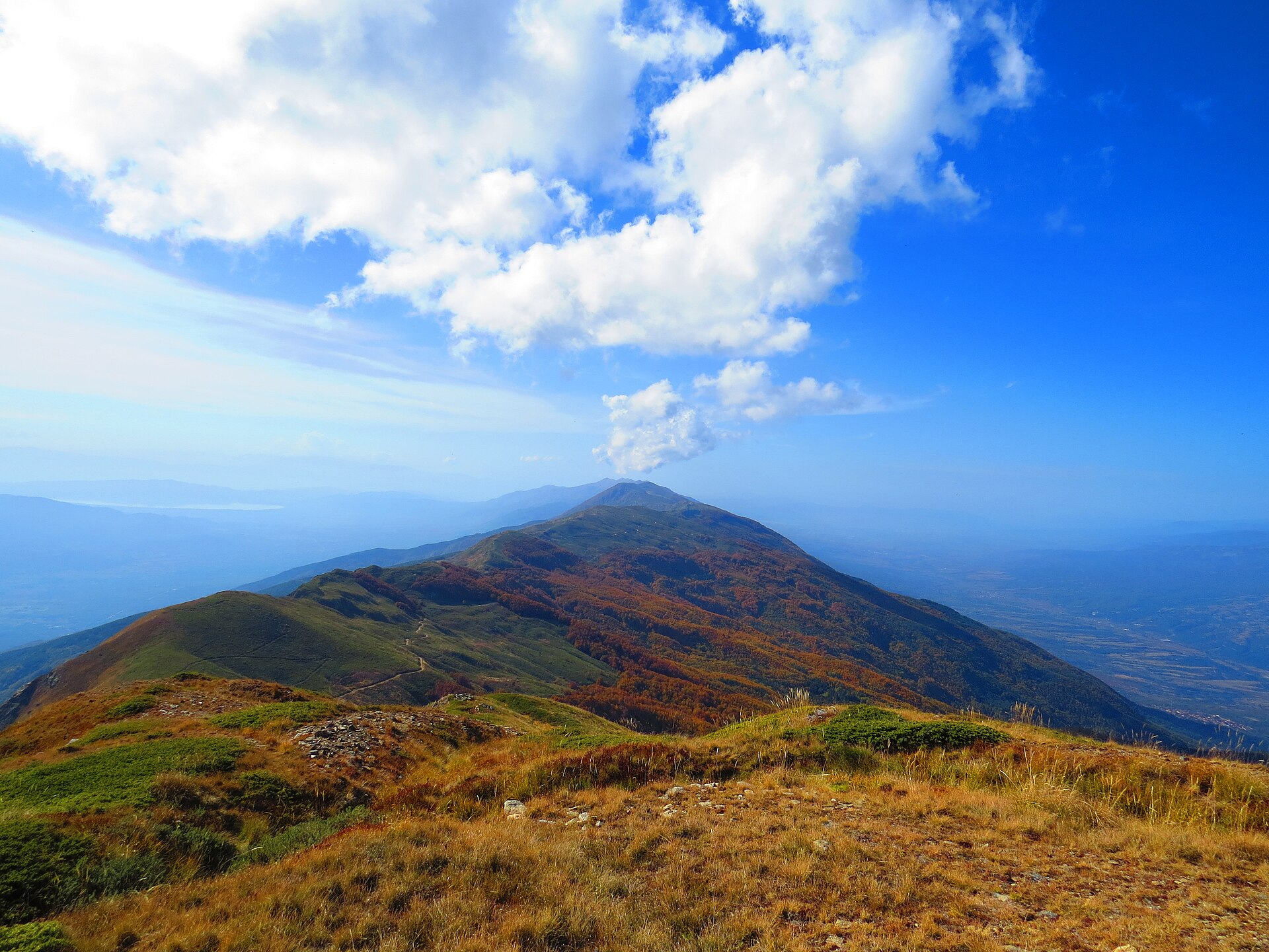
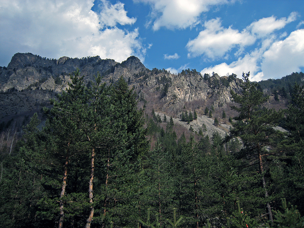
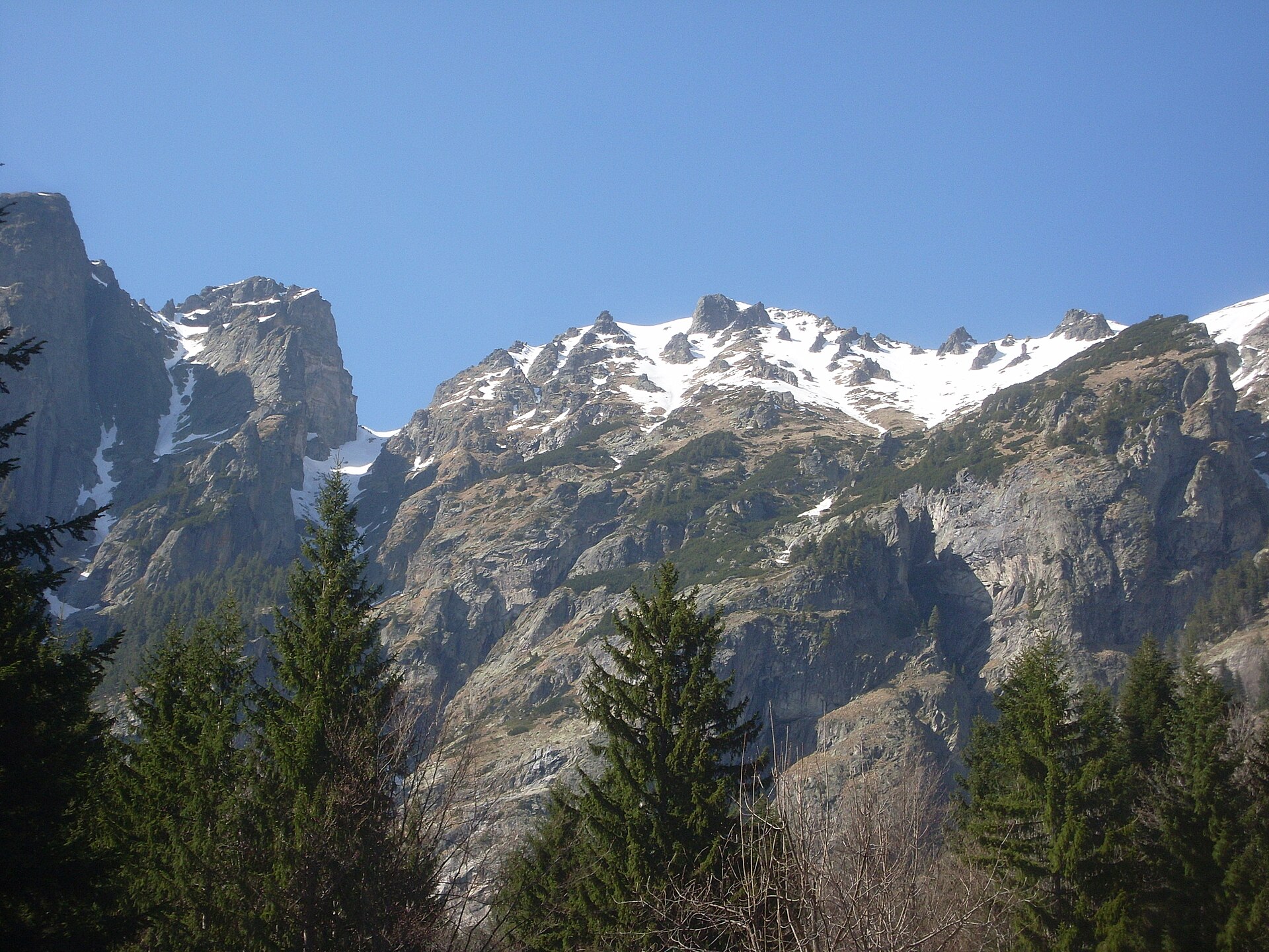
A terrestrial area, with forests and mountains.
What rocks lie beneath Lake Kerkini National Park?
According to the European 1:1 million geological map (EGDI), the bedrock consists mainly of gneiss (67% of sampled points) and sands and gravels (20%). These are mostly metamorphic rocks. The geological units date mainly from the Paleozoic (60% of sampled points).
Which international labels apply to Lake Kerkini National Park?
Ramsar site (“Lake Kerkini”) and Natura 2000 network (3 sites).
When is the best time to visit Lake Kerkini National Park?
Best time to visit: May and June, with average temperatures of 19 to 25 °C and moderate rainfall.
Are there historic monuments in Lake Kerkini National Park?
Yes. According to Wikidata, 2 monuments protected as Greek cultural heritage stand within the boundary. For example: “Old railway bridge of Strymon” in Sintiki and “Moni Agiou Georgiou Serron” in Sintiki.
What is the nearest large city to Lake Kerkini National Park?
Nearest towns of over 50,000 people, as the crow flies: Serres (25 km) and Thessaloniki (56 km). Nearest airport: Thessaloniki Airport "Makedonia" (SKG), about 68 km away.
How can I reach Lake Kerkini National Park by train?
Kalochori railway station lies within the site.
Are there waymarked hiking trails in Lake Kerkini National Park?
Yes. Waymarked hiking routes listed in OpenStreetMap: 7, including E 6. The E6 alternative route route runs for about 53 km through the site, with some 1,340 m of ascent on its longest section.
Which species can be seen in Lake Kerkini National Park?
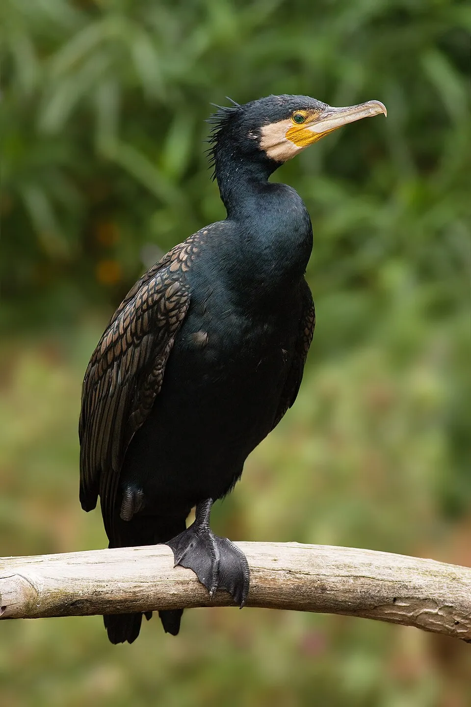
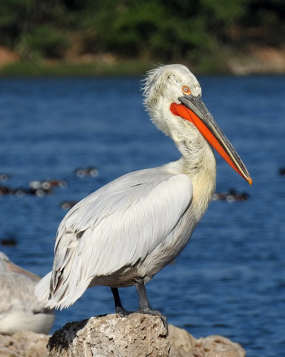
Among the species most often recorded on GBIF are Ardea cinerea (Grey Heron), Phalacrocorax carbo (Great Cormorant), Corvus cornix (Hooded Crow) and Pelecanus crispus (Dalmatian Pelican).
© OpenStreetMap
Download the boundary: GeoJSON · GPX Boundary © OpenStreetMap contributors (ODbL).
Geography
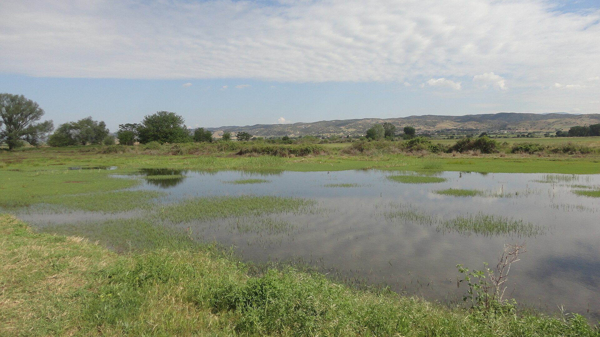
The representative point of the site lies at around 50 m above sea level. Over the 1996–2025 period, the mean annual temperature is about 15.9 °C and total precipitation reaches roughly 704 mm per year. The warmest month is usually July, the coolest January, and the wettest December. According to the European 1:1 million geological map (EGDI), the bedrock consists mainly of gneiss (67% of sampled points) and sands and gravels (20%). These are mostly metamorphic rocks. The geological units date mainly from the Paleozoic (60% of sampled points). The site contains one lake larger than 10 ha (Κερκίνη), totalling 53.4 km² of water (HydroLAKES).
Area
- Area of the boundary
- 78,330 ha
- Elevation
- 50 m
- Median elevation
- 261 m
- Mean slope
- 11°
- Lakes over 10 ha
- 1 (53.4 km²)
- Coordinates
- 41.259, 23.1403
Terrain: Mapzen Terrain Tiles (SRTM, USGS) · Lakes: HydroLAKES (Messager et al. 2016, hydrosheds.org, CC BY 4.0) · depths: Wikidata (CC0)
Elevation bands
- below 500 m 71%
- 500–1,000 m 19%
- 1,000–1,500 m 8%
- 1,500–2,000 m 3%
share of the site in each elevation band (smoothed terrain model: summits are rounded off) · Terrain: Mapzen Terrain Tiles (SRTM, USGS)
Bedrock
- Gneiss 67 %
- Sands and gravels 20 %
- Unconsolidated deposits 7 %
- Clastic sedimentary rocks 7 %
Metamorphic rocks 67 % · Sedimentary rocks 33 % · Main age: Paleozoic (60%)
Source: EGDI 1:1M geological map (EuroGeoSurveys and national geological surveys), CC BY 4.0 · 15 sampled points within the site.
Climate
● Mean temperature (°C) · ▮ Precipitation (mm)
Source: Copernicus ERA5-Land (C3S, doi:10.24381/cds.68d2bb30), monthly averages 1996–2025 interpolated to the representative point, temperatures adjusted for elevation.
Contains modified Copernicus Climate Change Service information 2026. Neither the European Commission nor ECMWF is responsible for any use that may be made of the Copernicus information or data it contains.
Natural habitats
According to CORINE Land Cover (2018), the site is mainly made up of forests (45%), farmland (28%) and lakes and rivers (10%). Woodland is mostly broadleaved. Elevation ranges from about 30 to 1,580 m (sampled elevations, SRTM). Median elevation is 261 m, and 10% of the site lies above 1,000 m (SRTM elevation model). The 3 Natura 2000 sites overlapping the area list 15 habitats of European interest (1 priority), the most extensive being Pannonian-Balkanic turkey oak-sessile oak forests, Asperulo-Fagetum beech forests and natural eutrophic lakes with Magnopotamion or Hydrocharition-type vegetation.
Biodiversity
Based on occurrences aggregated by GBIF, several species are regularly recorded within the site. Among the most frequent are Ardea cinerea (Grey Heron), Phalacrocorax carbo (Great Cormorant), Corvus cornix (Hooded Crow) and Pelecanus crispus (Dalmatian Pelican). The full list of documented taxa is shown below. The overlapping Natura 2000 sites list 179 species of European interest: 141 birds, 6 mammals, 15 reptiles, 7 amphibians, 4 fish and 6 invertebrates.
Habitats of European interest
From the official forms of the 3 Natura 2000 sites overlapping the area (areas reported for each whole site).
- Pannonian-Balkanic turkey oak-sessile oak forests 28,922 ha
- Asperulo-Fagetum beech forests 7,280 ha
- Natural eutrophic lakes with Magnopotamion or Hydrocharition-type vegetation 6,145 ha
- Quercus frainetto woods 2,539 ha
- Alpine and Boreal heaths 1,657 ha
- Platanus orientalis and Liquidambar orientalis woods (Platanion orientalis) 1,592 ha
- Salix alba and Populus alba galleries 1,530 ha
- Eastern sub-Mediterranean dry grasslands (Scorzoneratalia villosae) 963 ha
and 7 more
Species of European interest
Birds · 141
Levant Sparrowhawk (Accipiter brevipes) breeding, Sedge warbler (Acrocephalus schoenobaenus) breeding, Eurasian Reed Warbler (Acrocephalus scirpaceus) breeding, Common Sandpiper (Actitis hypoleucos) passage wintering, Boreal Owl (Aegolius funereus) resident, Eurasian Skylark (Alauda arvensis) wintering, Common Kingfisher (Alcedo atthis) wintering breeding resident, Northern Pintail (Anas acuta) wintering, European White-fronted Goose (Anser albifrons albifrons) wintering, Lesser white-fronted goose (Anser erythropus) wintering, Tawny Pipit (Anthus campestris) breeding, Meadow Pipit (Anthus pratensis) passage and 129 more
Mammals · 6
Golden jackal (Canis aureus), Grey wolf (Canis lupus), European wildcat (Felis silvestris), Eurasian otter (Lutra lutra), Kuhl's pipistrelle (Pipistrellus kuhlii), Nathusius's pipistrelle (Pipistrellus nathusii)
Reptiles · 15
Caspian whipsnake (Dolichophis caspius), Four-lined snake (Elaphe quatuorlineata), European Pond Turtle (Emys orbicularis), Balkan green lizard (Lacerta trilineata), Green lizard (Lacerta viridis), Balkan pond turtle (Mauremys rivulata), Kotschys Gecko (Mediodactylus kotschyi), Dice snake (Natrix tessellata), Armored glass lizard (Ophisaurus apodus), Balkan Wall Lizard (Podarcis taurica), Common Tortoise (Testudo graeca), Hermann's tortoise (Testudo hermanni) and 3 more
Amphibians · 7
Yellow-bellied toad (Bombina variegata), European green toad (Bufo viridis), Common tree frog (Hyla arborea), Syrian Spadefoot (Pelobates syriacus), Agile frog (Rana dalmatina), Greek Stream Frog (Rana graeca), Southern crested newt (Triturus karelinii)
Fish · 4
Asp (Aspius aspius), Strumica Barbel (Barbus strumicae), Spined Loach (Cobitis taenia Complex), European bitterling (Rhodeus amarus)
Invertebrates · 6
Stone crayfish (Austropotamobius torrentium), Greater Capricorn Beetle (Cerambyx cerdo), Ornate Bluet (Coenagrion ornatum), Bladetail (Lindenia tetraphylla), Stag beetle (Lucanus cervus), Morimus asper funereus
Source: Natura 2000 standard data forms (EEA, CC-BY 4.0). Not exhaustive: sensitive species are not published.
Species to look out for
Bird
Great Cormorant
Phalacrocorax carbo2,456 records © JJ Harrison (https://www.jjharrison.com.au/) · CC BY-SA 3.0

Bird
Hooded Crow
Corvus cornix2,440 records © Ricardo Tulio Gandelman from Rio de Janeiro, Brazil · CC BY 2.0

Bird
Pygmy Cormorant
Microcarbo pygmaeus2,162 records © Martin Mecnarowski (http://www.photomecan.eu/) · CC BY-SA 3.0
Observed species
Occurrences documented via GBIF; they are neither an exhaustive inventory nor proof of current presence.
- Grey Heron · Ardea cinerea · 2704
- Great Cormorant · Phalacrocorax carbo · 2456
- Hooded Crow · Corvus cornix · 2440
- Dalmatian Pelican · Pelecanus crispus · 2302
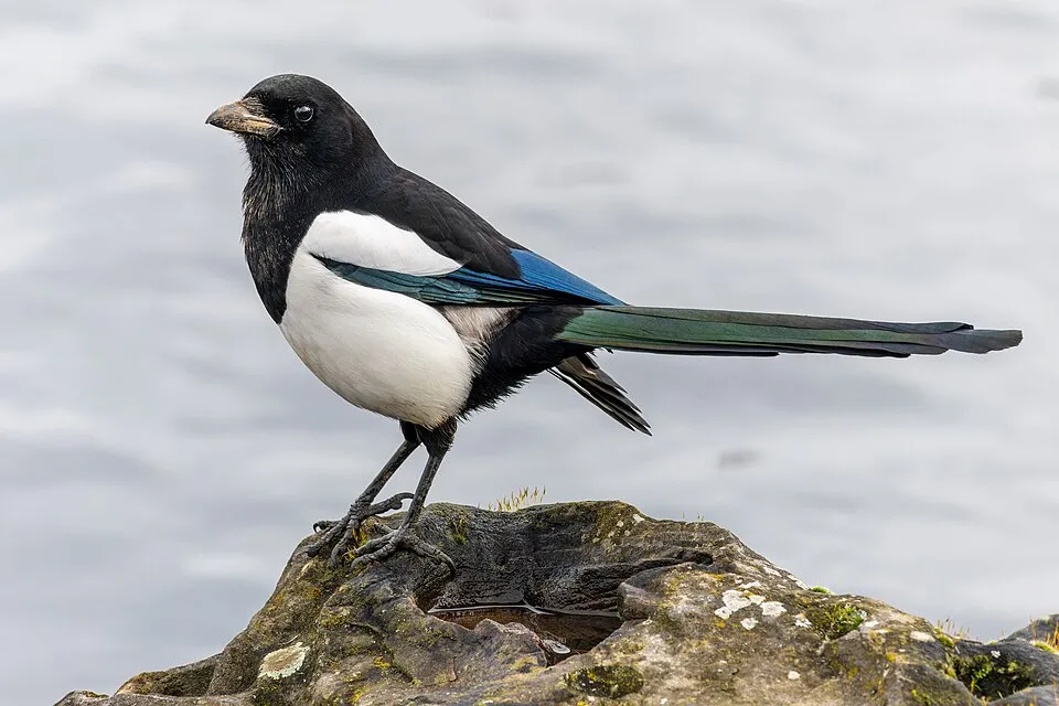
- Eurasian Magpie · Pica pica · 2267
- Pygmy Cormorant · Microcarbo pygmaeus · 2162
- Common Buzzard · Buteo buteo · 2124
- Great Crested Grebe · Podiceps cristatus · 2050
- Mallard · Anas platyrhynchos · 2038
- Eurasian Collared Dove · Streptopelia decaocto · 1942
- Black-headed Gull · Chroicocephalus ridibundus · 1843
- Great Egret · Ardea alba · 1841
Records: GBIF.org (CC-BY). Names: Wikidata (CC0), GBIF. Photos: Wikimedia Commons.
Conservation challenges
The primary purpose of the site is to preserve its natural habitats and the biodiversity they support. The species recorded (Biodiversity tab) reflect its ecological value. The designations it holds frame its management and the control of land use.
According to Global Forest Change data (University of Maryland, Global Forest Watch), about 700 ha of tree cover were lost within the boundary between 2001 and 2023 (under 1% of its area), peaking in 2022 and 2023. These losses include logging, storms and fires, and do not account for regrowth. Apart from forest felling and regrowth (about 2,090 ha in total), land cover remained almost unchanged between 1990 and 2018 according to CORINE Land Cover; only some 24 ha were built over. At night, 4% of the area gives off artificial light detectable from space (NASA VIIRS Black Marble composite, 2016). Built-up and developed land (buildings, business areas, roads, quarries) covers 2% of the area, and farmland 28% (CORINE Land Cover). According to the Natura 2000 forms, of 13 assessed habitats of European interest, 1 is in excellent condition and 2 in average or reduced condition. According to the Water Framework Directive assessment (2022 river basin management plans, data 2016–2021), 62% of the 51 km of rivers assessed within the site are in good or high ecological status. Other assessed water bodies: lakes, 0 of 1 in good ecological status or better. Since 2000, 17 invasive alien species have been recorded within the site (GBIF observations), 5 of them listed as of Union concern under EU Regulation 1143/2014. Among them: Myocastor coypus (Coypu), Alopochen aegyptiaca (Egyptian Goose) and Broussonetia papyrifera (Paper mulberry).
Pressure indicators
Tree cover lost
700 ha
2001–2023
20012023
Fires since 2016
0
No large fire mapped (fires over about 30 ha)
Light at night
4%
of the area gives off artificial light visible from space
DarkLit
Built-up land
2%
buildings, business areas, roads, quarries · farmland 28%
Land cover change
< 0.5%
of the area changed, 1990–2018 · CORINE
forest felling and regrowth: 2,090 ha in total
Rivers and lakes
62%
of the 51 km of assessed rivers in good or high ecological status · WFD 2022
Lakes: 0 of 1 good or better
assessments 2016–2021
Invasive alien species
17
incl. 5 of EU concern · since 2000
 CoypuEU
 Egyptian GooseEU
 Paper mulberryEU
 PumpkinseedEU
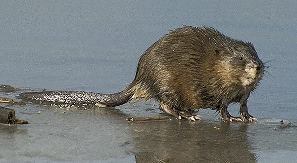 MuskratEU
 Mute Swan
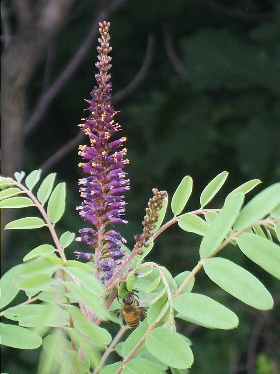 Desert false indigo
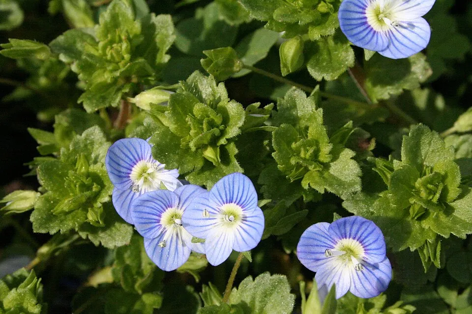 Common field-speedwell
Photos: Coypu © Philippe Amelant · CC BY-SA 3.0; Egyptian Goose © Rhododendrites · CC BY-SA 4.0; Paper mulberry © Didier Descouens · CC BY-SA 4.0; Pumpkinseed © Cephas · CC BY-SA 3.0; Muskrat © David Menke · Public domain; Mute Swan © Geni · CC BY-SA 4.0; Desert false indigo © Dalgial · CC BY-SA 3.0; Common field-speedwell © Strobilomyces · CC BY-SA 3.0
Sources: Global Forest Change (Hansen et al., University of Maryland, via Global Forest Watch, CC-BY 4.0); EFFIS, European Commission / Copernicus; NASA Black Marble 2016 (public domain); CORINE Land Cover 2018 (Copernicus) or MODIS.
CORINE Land Cover Change 1990–2018: generated using European Union's Copernicus Land Monitoring Service information (EEA), aggregated by Parkavela; DOI 10.2909/f30f1000-7cf8-43bb-872c-5eb093911b24.
Ecological status of water bodies: European Environment Agency, WISE – Water Framework Directive, 3rd river basin management plans (2022), CC BY 4.0. Official national classification, not comparable between countries.
Invasive alien species: Global Register of Introduced and Invasive Species (ISSG, CC BY 4.0); Union list, Regulation (EU) 1143/2014 (INBO, CC0); GBIF.org records (CC0 / CC BY 4.0), at least 2 per species.
Practical information
Cities and airport
- Serres
25 km as the crow flies - Thessaloniki
56 km as the crow flies - Airport: Thessaloniki Airport "Makedonia" (SKG)
68 km as the crow flies
Parking
19 public car parks listed within the site
Hiking
7 waymarked routes listed, including:
E 6
By bike
EV13 · 7 km
EV13: route still largely undeveloped
Signed cycle routes: this does not mean that cycling is allowed on footpaths.
Data © OpenStreetMap contributors (ODbL) · Wikidata (CC0)
Contains information from EuroVelo GPX tracks downloaded from www.EuroVelo.com on 2026-10-22, which is made available here under the Open Database License (ODbL). EuroVelo® is a registered trademark of the ECF. Routes © OpenStreetMap contributors (ODbL), via Waymarked Trails
Waymarked hiking routes
Tracks © OpenStreetMap contributors (ODbL), clipped to the boundary; elevation gain and profiles computed on the longest section from Mapzen Terrain Tiles (≈ 30 m), indicative only.
Access and visiting
Kalochori railway station lies within the site. Nearest towns of over 50,000 people, as the crow flies: Serres (25 km) and Thessaloniki (56 km). Nearest airport: Thessaloniki Airport "Makedonia" (SKG), about 68 km away. About 180,000 people live within 20 km of the site boundary, 89,000 of them within 10 km; some 13,000 people are estimated to live inside (GHSL estimate, 2020). This population has fallen by about 5% since 2000. Public car parks listed within the site: 19. Waymarked hiking routes listed in OpenStreetMap: 7, including E 6. The EuroVelo 13 cycle route (Iron Curtain Trail) crosses the site for about 7 km, on a route still largely undeveloped (EuroVelo). To plan a visit (access, opening periods, visitor rules), it is best to consult the official information from the managing body and the official website listed in this page's sources.
Source: OpenStreetMap (ODbL), Wikidata (CC0), October 2026.
Built heritage
According to Wikidata, 2 monuments protected as Greek cultural heritage stand within the boundary. Examples include “Old railway bridge of Strymon” in Sintiki and “Moni Agiou Georgiou Serron” in Sintiki.
-
Old railway bridge of Strymon
Sintiki -
Moni Agiou Georgiou Serron
Sintiki
Source: Wikidata (CC0), monuments in each country’s official heritage protection registers, at national or regional level. Each item links to its Wikidata entry.
When to visit
Best time to visit: May and June, with average temperatures of 19 to 25 °C and moderate rainfall. These averages apply to the site's representative point (50 m); higher up it is markedly cooler and snow lasts longer. Day length ranges from about 9 h 13 min in December to 15 h 08 min in June. Wildlife records published on GBIF peak for birds (May), plants (April), butterflies and moths (May and June), dragonflies (May and June) and mammals (May). These peaks also reflect when observers are most active.
Source: Copernicus ERA5-Land (C3S), monthly averages 1996–2025 at the representative point, temperatures adjusted for elevation.
Contains modified Copernicus Climate Change Service information 2026. Neither the European Commission nor ECMWF is responsible for any use that may be made of the Copernicus information or data it contains.
Wildlife records calendar
JFMAMJJASOND
Birds
Plants
Butterflies & moths
Dragonflies
Mammals
Monthly records published on GBIF (CC-BY), relative to the busiest month; also reflects observer activity.
Gallery
© Vlahos Vaggelis · CC BY 3.0
© Anton Lefterov · CC BY-SA 4.0
© Katerina Dominou · CC BY-SA 4.0
© Мико · CC BY-SA 4.0
© Annatsach · CC BY-SA 4.0
© TheDeadPoetGr · CC BY-SA 4.0
Sources and licences
- Wikidata: Q24953265
- OpenStreetMap: relation 2453770
- Wikipedia: it.wikipedia.org/wiki/Parco_nazionale_del_lago_di_Kerkini
References
- cds.climate.copernicus.eu: climate · CC-BY-4.0
- registry.opendata.aws: elevation of the reference point, detailed relief · PD
- land.copernicus.eu: land cover, land cover change, sea share · COPERNICUS
- doi.org: population around the site · CC-BY-4.0
- openstreetmap.org: access and peaks, trail difficulty, wheelchair access · ODbL-1.0
- eea.europa.eu: bathing water quality, ecological status of waters · CC-BY-4.0
- en.eurovelo.com: EuroVelo cycle routes · ODbL-1.0
- cycling.waymarkedtrails.org: cycle routes · ODbL-1.0
- opentopodata.org: elevations · PD
- forest-fire.emergency.copernicus.eu: wildfires · COPERNICUS
- globalforestwatch.org: tree cover loss · CC-BY-4.0
- gbif.org: seasonality of sightings, invasive alien species, observed species · CC-BY-4.0
- europe-geology.eu: geology · CC-BY-4.0
- wikidata.org: protected heritage, official name, nearby cities and airport, access and peaks, lake depths, places to see · CC0-1.0
- hydrosheds.org: lakes · CC-BY-4.0
- natura2000.eea.europa.eu: Natura 2000 habitats and species · CC-BY-4.0
- earthobservatory.nasa.gov: night light · PD
- hiking.waymarkedtrails.org: route difficulty · ODbL-1.0
- nsidc.org: snow cover · PD
- wikidata.org: Wikipedia article · CC-BY-SA-4.0
Data © OpenStreetMap contributors (ODbL), Wikidata (CC0) and the sources cited.