
Spain · Terrestrial
Corralejo Natural Park
Nature park of 2,618 hectares in Spain, established in 1994.
Overview
Nature park of 2,618 hectares in Spain, established in 1994.
Corralejo Natural Park is a nature park in Spain (Europe). It is a predominantly terrestrial area. Established in 1994, it covers about 2,618 hectares.
Protections and designations
Natura 2000 · habitats (SAC)
- Corralejo ES7010032
Natura 2000 · birds (SPA)
- Dunas de Corralejo e Isla de Lobos ES0000042
Protected as a nature park. International labels and designations: Natura 2000 network (2 sites). Key dates: first Natura 2000 site under the Birds Directive in 1987, established in 1994 and first Natura 2000 site under the Habitats Directive in 2010.
In our collections
Timeline
-
1987
First Natura 2000 site under the Birds Directive
-
1994
Established
-
2010
First Natura 2000 site under the Habitats Directive
Sources: Wikidata (CC0) for establishment and international labels; EEA Natura 2000 database (CC-BY 4.0) for site designation dates.
Frequently asked questions
Where is Corralejo Natural Park?
In Spain (Europe). Representative point: 28.6931° N, 13.8428° W.
How large is Corralejo Natural Park?
About 2,618 hectares (26 km²). It is the 65th largest of the 73 nature parks in Spain covered by Parkavela.
When was Corralejo Natural Park established?
In 1994.
What habitats and landscapes does Corralejo Natural Park include?
A terrestrial area, with coasts.
What rocks lie beneath Corralejo Natural Park?
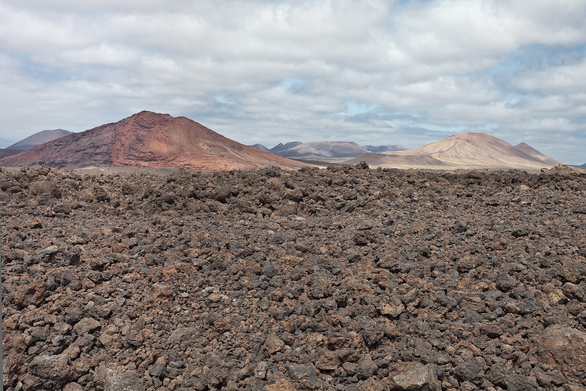
According to the European 1:1 million geological map (EGDI), the bedrock consists mainly of unconsolidated deposits (100% of sampled points). These are mostly sedimentary rocks. The geological units date mainly from the Quaternary (100% of sampled points).
Which international labels apply to Corralejo Natural Park?
Natura 2000 network (2 sites).
When is the best time to visit Corralejo Natural Park?
The climate suits visits all year round.
Can you swim in Corralejo Natural Park?
5 monitored bathing sites lie in or within 1 km of the site; official 2025 classification: 5 excellent (European Environment Agency). Swimming is only permitted at the sites and times authorised locally.
What is the nearest large city to Corralejo Natural Park?
Nearest towns of over 50,000 people, as the crow flies: Arrecife (39 km). Nearest airport: Fuerteventura (FUE), about 22 km away.
Where can I get visitor information on site?
Centro de Visitantes Isla de Lobos.
Which species can be seen in Corralejo Natural Park?
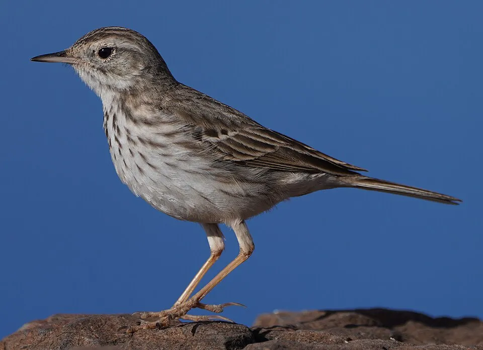
Among the species most often recorded on GBIF are Larus michahellis (Yellow-legged Gull), Anthus berthelotii (Berthelot's Pipit), Lanius excubitor (Great Grey Shrike) and Numenius phaeopus (Eurasian Whimbrel).
© OpenStreetMap
Download the boundary: GeoJSON · GPX Boundary © OpenStreetMap contributors (ODbL).
Geography
The representative point of the site lies at around 15 m above sea level. Over the 1996–2025 period, the mean annual temperature is about 20.2 °C and total precipitation reaches roughly 102 mm per year. The warmest month is usually August, the coolest February, and the wettest December. According to the European 1:1 million geological map (EGDI), the bedrock consists mainly of unconsolidated deposits (100% of sampled points). These are mostly sedimentary rocks. The geological units date mainly from the Quaternary (100% of sampled points).
Area
- Area
- 2,618 ha
- Elevation
- 15 m
- Coordinates
- 28.6931, -13.8428
Bedrock
- Unconsolidated deposits 100 %
Sedimentary rocks 100 % · Main age: Quaternary (100%)
Source: EGDI 1:1M geological map (EuroGeoSurveys and national geological surveys), CC BY 4.0 · 16 sampled points within the site.
Climate
● Mean temperature (°C) · ▮ Precipitation (mm)
Source: Copernicus ERA5-Land (C3S, doi:10.24381/cds.68d2bb30), monthly averages 1996–2025 interpolated to the representative point, temperatures adjusted for elevation.
Contains modified Copernicus Climate Change Service information 2026. Neither the European Commission nor ECMWF is responsible for any use that may be made of the Copernicus information or data it contains.
Natural habitats
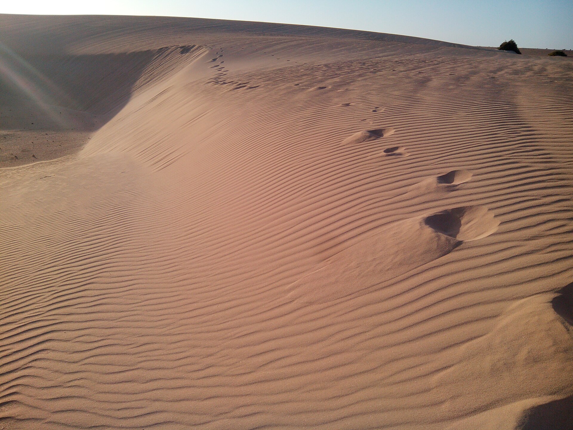
According to CORINE Land Cover (2018), the site is mainly made up of beaches and dunes (96%). The site borders the coast. The 2 Natura 2000 sites overlapping the area list 4 habitats of European interest (1 priority), the most extensive being embryonic shifting dunes, shifting dunes along the shoreline with Ammophila arenaria (‘white dunes’) and fixed coastal dunes with herbaceous vegetation (‘grey dunes’).
Biodiversity
Based on occurrences aggregated by GBIF, several species are regularly recorded within the site. Among the most frequent are Larus michahellis (Yellow-legged Gull), Anthus berthelotii (Berthelot's Pipit), Lanius excubitor (Great Grey Shrike) and Numenius phaeopus (Eurasian Whimbrel). The full list of documented taxa is shown below. The overlapping Natura 2000 sites list 19 species of European interest: 17 birds and 2 plants.
Habitats of European interest
From the official forms of the 2 Natura 2000 sites overlapping the area (areas reported for each whole site).
- Embryonic shifting dunes 680 ha
- Shifting dunes along the shoreline with Ammophila arenaria (‘white dunes’) 452 ha
- Fixed coastal dunes with herbaceous vegetation (‘grey dunes’) priority 126 ha
- Fields of lava and natural excavations 36 ha
Species of European interest
Birds · 17
Trumpeter Finch (Bucanetes githagineus) resident, Bulwer’s Petrel (Bulweria bulwerii) resident, Eurasian Stone-curlew (Burhinus oedicnemus) resident, Cory's Shearwater (Calonectris borealis) resident, Kentish Plover (Charadrius alexandrinus), Houbara Bustard (Chlamydotis undulata) resident, Cream-coloured Courser (Cursorius cursor) resident, Black-winged Stilt (Himantopus himantopus), Band-rumped Storm-petrel (Hydrobates castro) resident, European Storm Petrel (Hydrobates pelagicus) resident, Egyptian Vulture (Neophron percnopterus), Osprey (Pandion haliaetus) resident and 5 more
Plants · 2
Androcymbium psammophilum, Caralluma burchardii
Source: Natura 2000 standard data forms (EEA, CC-BY 4.0). Not exhaustive: sensitive species are not published.
Species to look out for

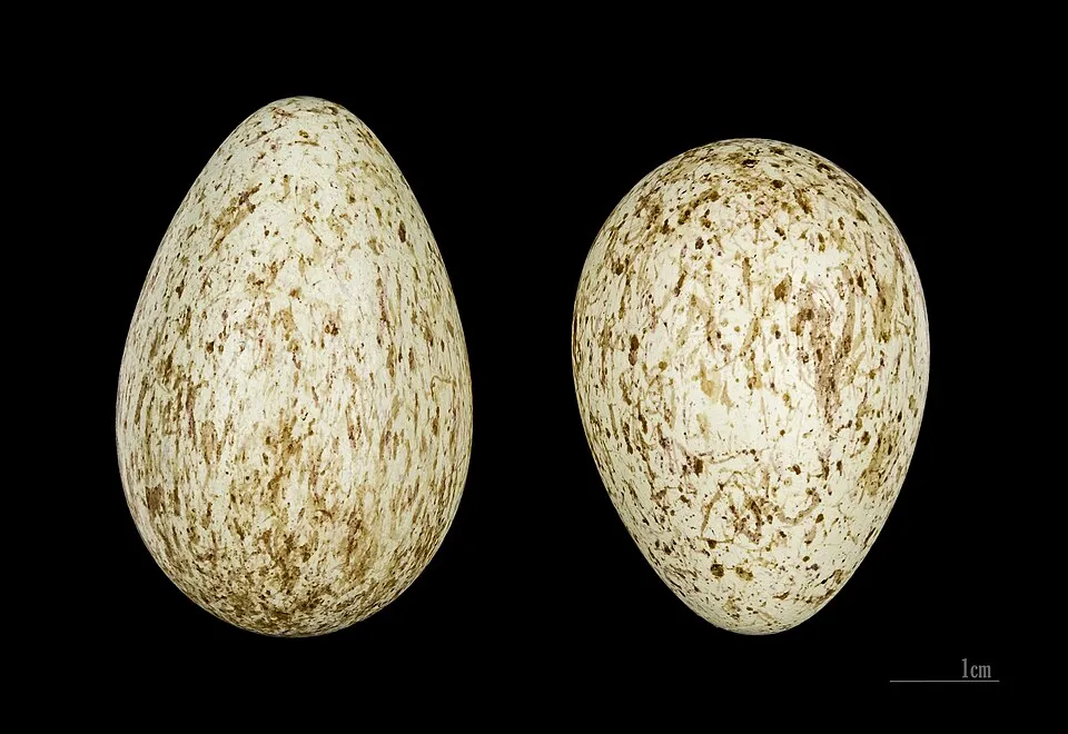
Observed species
Occurrences documented via GBIF; they are neither an exhaustive inventory nor proof of current presence.
- Yellow-legged Gull · Larus michahellis · 316
- Berthelot's Pipit · Anthus berthelotii · 221
- Great Grey Shrike · Lanius excubitor · 191
- Eurasian Whimbrel · Numenius phaeopus · 170
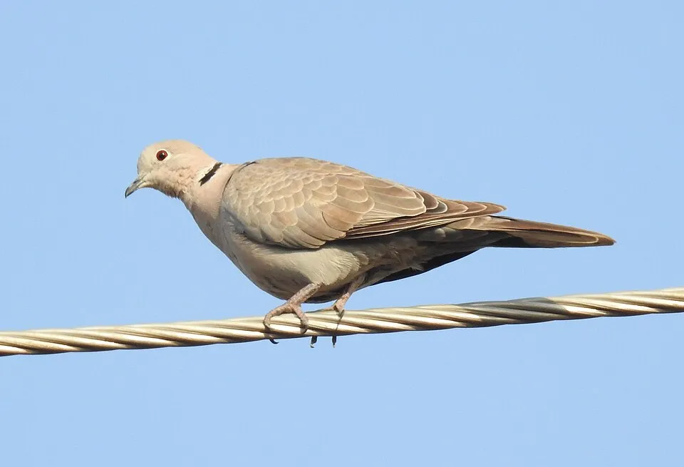
- Eurasian Collared Dove · Streptopelia decaocto · 147
- Northern Raven · Corvus corax · 146
- Little Egret · Egretta garzetta · 134
- Spanish Sparrow · Passer hispaniolensis · 134
- Sanderling · Calidris alba · 131
- Common Linnet · Linaria cannabina · 114
- Common Ringed Plover · Charadrius hiaticula · 112
- Ruddy Turnstone · Arenaria interpres · 99
+18 more species
- Spectacled warbler · Sylvia conspicillata · 97
- Grey Plover · Pluvialis squatarola · 96
- Eurasian Hoopoe · Upupa epops · 96
- Lesser Black-backed Gull · Larus fuscus · 87
- Sandwich Tern · Thalasseus sandvicensis · 84
- Common Sandpiper · Actitis hypoleucos · 77
- Rock Dove · Columba livia · 74
- Sea spurge · Euphorbia paralias · 69
- Kentish Plover · Charadrius alexandrinus · 58
- Sea rocket · Cakile maritima · 57
- Barn Swallow · Hirundo rustica · 55
- Lesser Short-toed Lark · Calandrella rufescens · 54
- Mol-albina · Launaea arborescens · 53
- Cyperus capitatus · 51
- Traganum moquinii · 51
- Common Kestrel · Falco tinnunculus · 51
- Yellow Restharrow · Ononis natrix · 49
- Bar-tailed Godwit · Limosa lapponica · 45
Records: GBIF.org (CC-BY). Names: Wikidata (CC0), GBIF. Photos: Wikimedia Commons.
Conservation challenges
The primary purpose of the site is to preserve its natural habitats and the biodiversity they support. The species recorded (Biodiversity tab) reflect its ecological value. The designations it holds frame its management and the control of land use.
According to CORINE Land Cover, land cover here remained almost unchanged between 1990 and 2018 (less than 0.5% of the area affected). At night, 13% of the area gives off artificial light detectable from space (NASA VIIRS Black Marble composite, 2016). Built-up and developed land (buildings, business areas, roads, quarries) covers 2% of the area (CORINE Land Cover). According to the Natura 2000 forms, of 4 assessed habitats of European interest, 2 are in excellent condition and 1 in average or reduced condition. According to the Water Framework Directive assessment (2022 river basin management plans, data 2018), water bodies assessed within the site: coastal waters, 1 of 1 in good ecological status or better. Since 2000, 11 invasive alien species have been recorded within the site (GBIF observations), one of them on the European Union's list. Among them: Pycnonotus cafer (Red-vented Bulbul), Nicotiana glauca (Tree tobacco) and Atlantoxerus getulus (Barbary Ground Squirrel).
Pressure indicators
Fires since 2016
0
No large fire mapped (fires over about 30 ha)
Light at night
13%
of the area gives off artificial light visible from space
DarkLit
Built-up land
2%
buildings, business areas, roads, quarries
Land cover change
< 0.5%
of the area changed, 1990–2018 · CORINE
Rivers and lakes
Coastal waters: 1 of 1 good or better
assessments 2018
Invasive alien species
11
incl. 1 on the EU list · since 2000
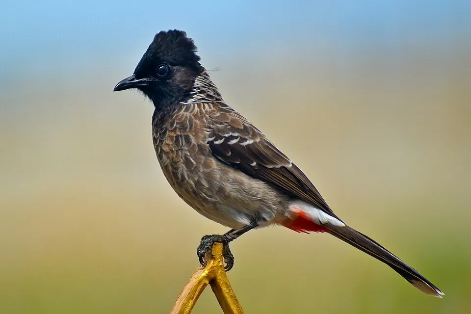 Red-vented BulbulEU
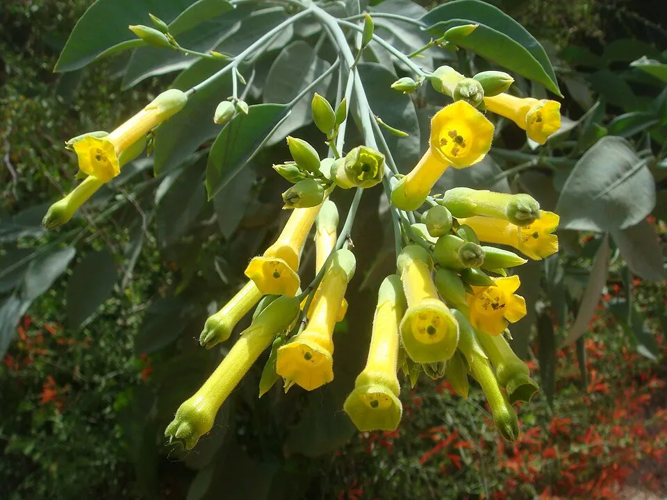 Tree tobacco
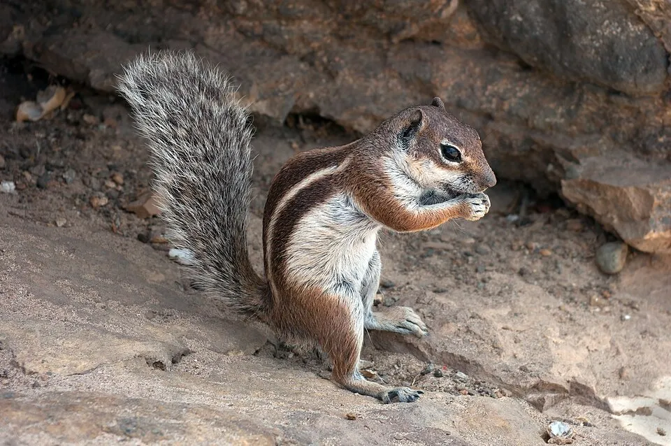 Barbary Ground Squirrel
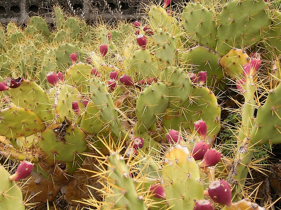 Erect pricklypear
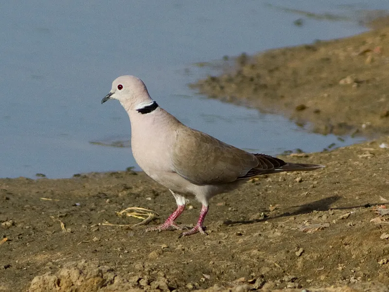 African Collared Dove
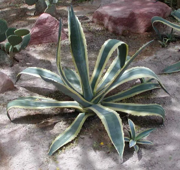 American century plant
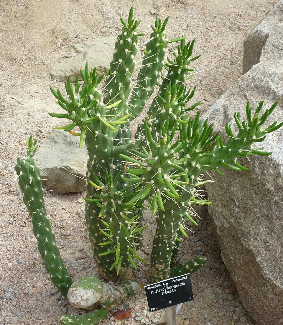 Eve's Pin
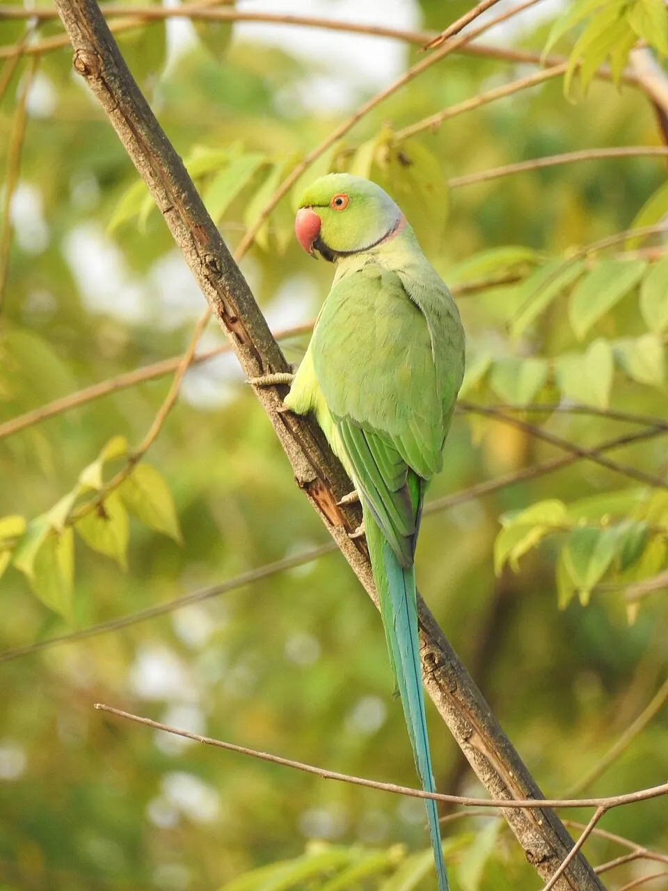 Rose-ringed Parakeet
Photos: Red-vented Bulbul © K. Hari Krishnan · CC BY-SA 3.0; Tree tobacco © Miwasatoshi · CC BY-SA 4.0; Barbary Ground Squirrel © Chrumps · CC BY-SA 4.0; Erect pricklypear © Frank Vincentz · CC BY-SA 3.0; African Collared Dove © Ron Knight from Seaford, East Sussex, United Kingdom · CC BY 2.0; American century plant © Stan Shebs · CC BY-SA 3.0; Eve's Pin © Magnus Manske · CC BY-SA 2.5; Rose-ringed Parakeet © Afsarnayakkan · CC BY 3.0
Sources: Global Forest Change (Hansen et al., University of Maryland, via Global Forest Watch, CC-BY 4.0); EFFIS, European Commission / Copernicus; NASA Black Marble 2016 (public domain); CORINE Land Cover 2018 (Copernicus) or MODIS.
CORINE Land Cover Change 1990–2018: generated using European Union's Copernicus Land Monitoring Service information (EEA), aggregated by Parkavela; DOI 10.2909/f30f1000-7cf8-43bb-872c-5eb093911b24.
Ecological status of water bodies: European Environment Agency, WISE – Water Framework Directive, 3rd river basin management plans (2022), CC BY 4.0. Official national classification, not comparable between countries.
Invasive alien species: Global Register of Introduced and Invasive Species (ISSG, CC BY 4.0); Union list, Regulation (EU) 1143/2014 (INBO, CC0); GBIF.org records (CC0 / CC BY 4.0), at least 2 per species.
Practical information
Cities and airport
- Arrecife
39 km as the crow flies - Airport: Fuerteventura (FUE)
22 km as the crow flies
Visitor information
- Centro de Visitantes Isla de Lobos
3 km from the site boundary
Data © OpenStreetMap contributors (ODbL) · Wikidata (CC0)
Bathing
5 monitored bathing sites in or within 1 km of the site · 2025 classification
Excellent · 5
- Playa Alzada (la) Pm1 · sea · Excellent
- Playa Charco de Las Agujas Pm1 · sea · Excellent
- Playa Grandes Playas (grandes Playas) Pm1 · sea · Excellent
- Playa Moro (el) Pm1 · sea · Excellent
- Playa Pozo (el)-El Viejo (grandes Playas I) Pm2 · sea · Excellent
Source: European Environment Agency, official bathing water classification (Directive 2006/7/EC, CC-BY 4.0). Swimming is only permitted at the sites and times authorised locally.
Access and visiting
Nearest towns of over 50,000 people, as the crow flies: Arrecife (39 km). Nearest airport: Fuerteventura (FUE), about 22 km away. About 62,000 people live within 20 km of the site boundary, 19,000 of them within 10 km; some 290 people are estimated to live inside (GHSL estimate, 2020). This population has grown by about 23% since 2000. Visitor information on site: Centro de Visitantes Isla de Lobos. To plan a visit (access, opening periods, visitor rules), it is best to consult the official information from the managing body and the official website listed in this page's sources.
Source: OpenStreetMap (ODbL), Wikidata (CC0), October 2026.
When to visit
The climate suits visits all year round. Day length ranges from about 10 h 19 min in December to 13 h 58 min in June. Wildlife records published on GBIF peak for birds (from November to February), plants (December) and butterflies and moths (October). These peaks also reflect when observers are most active.
Source: Copernicus ERA5-Land (C3S), monthly averages 1996–2025 at the representative point, temperatures adjusted for elevation.
Contains modified Copernicus Climate Change Service information 2026. Neither the European Commission nor ECMWF is responsible for any use that may be made of the Copernicus information or data it contains.
Wildlife records calendar
JFMAMJJASOND
Birds
Plants
Butterflies & moths
Monthly records published on GBIF (CC-BY), relative to the busiest month; also reflects observer activity.
Gallery
© Benjamín Núñez González · CC BY-SA 4.0
© Jseoanepascual · CC BY-SA 4.0
© Rita Siklosi · CC BY-SA 4.0
© Diegator · CC BY-SA 4.0
© Rita Siklosi · CC BY-SA 4.0
© Pablosievert · CC BY-SA 4.0
Sources and licences
- Wikidata: Q2054008
- OpenStreetMap: relation 1534625
- Wikipedia: fr.wikipedia.org/wiki/Parc_naturel_de_Corralejo
- WDPA: 142934
References
- cds.climate.copernicus.eu: climate · CC-BY-4.0
- registry.opendata.aws: elevation of the reference point, detailed relief · PD
- land.copernicus.eu: land cover, land cover change, sea share · COPERNICUS
- doi.org: population around the site · CC-BY-4.0
- wikidata.org: official area, establishment date, protected heritage, official name, nearby cities and airport, access and peaks, lake depths, places to see · CC0-1.0
- eea.europa.eu: bathing water quality, ecological status of waters · CC-BY-4.0
- en.eurovelo.com: EuroVelo cycle routes · ODbL-1.0
- cycling.waymarkedtrails.org: cycle routes · ODbL-1.0
- opentopodata.org: elevations · PD
- forest-fire.emergency.copernicus.eu: wildfires · COPERNICUS
- globalforestwatch.org: tree cover loss · CC-BY-4.0
- gbif.org: seasonality of sightings, invasive alien species, observed species · CC-BY-4.0
- europe-geology.eu: geology · CC-BY-4.0
- hydrosheds.org: lakes · CC-BY-4.0
- natura2000.eea.europa.eu: Natura 2000 habitats and species · CC-BY-4.0
- earthobservatory.nasa.gov: night light · PD
- openstreetmap.org: access and peaks · ODbL-1.0
- nsidc.org: snow cover · PD
- wikidata.org: Wikipedia article · CC-BY-SA-4.0
Data © OpenStreetMap contributors (ODbL), Wikidata (CC0) and the sources cited.